The best running trails around Río Támega
4.3
(4)
244
runners
7
runs
Jogging around Río Támega offers diverse landscapes, from open valleys to narrow mountain gorges. The region is characterized by its extensive river corridor, featuring riparian forests and natural pools in its upper sections. As the river flows, it carves through varied terrain, providing routes with both relatively flat stretches and more challenging elevation changes through valleys and hills. This natural setting provides a compelling backdrop for running, integrating natural features with recreational areas.
Best jogging routes around Río Támega
- The…
Last updated: June 28, 2026
2
runners
15.5km
01:53
310m
310m
Hard run. Very good fitness required. Mostly accessible paths. Some sure footedness required.
4.0
(2)
64
runners
10.3km
01:04
30m
30m
Moderate run. Good fitness required. Mostly paved surfaces. Suitable for all skill levels.

Sign up for free
30
runners
12.4km
01:18
100m
110m
Moderate run. Good fitness required. Mostly paved surfaces. Suitable for all skill levels.
5
runners
9.34km
01:05
150m
150m
Moderate run. Good fitness required. Mostly paved surfaces. Suitable for all skill levels.
3
runners
10.2km
01:04
90m
90m
Moderate run. Good fitness required. Mostly paved surfaces. Suitable for all skill levels.
1
runners
16.5km
02:03
470m
470m
Hard run. Very good fitness required. Mostly paved surfaces. Suitable for all skill levels.
Our route recommendations are based on thousands of hikes, rides, and runs completed by other people on komoot.
Start today with a free account
Your next adventure awaits.
Login or Signup
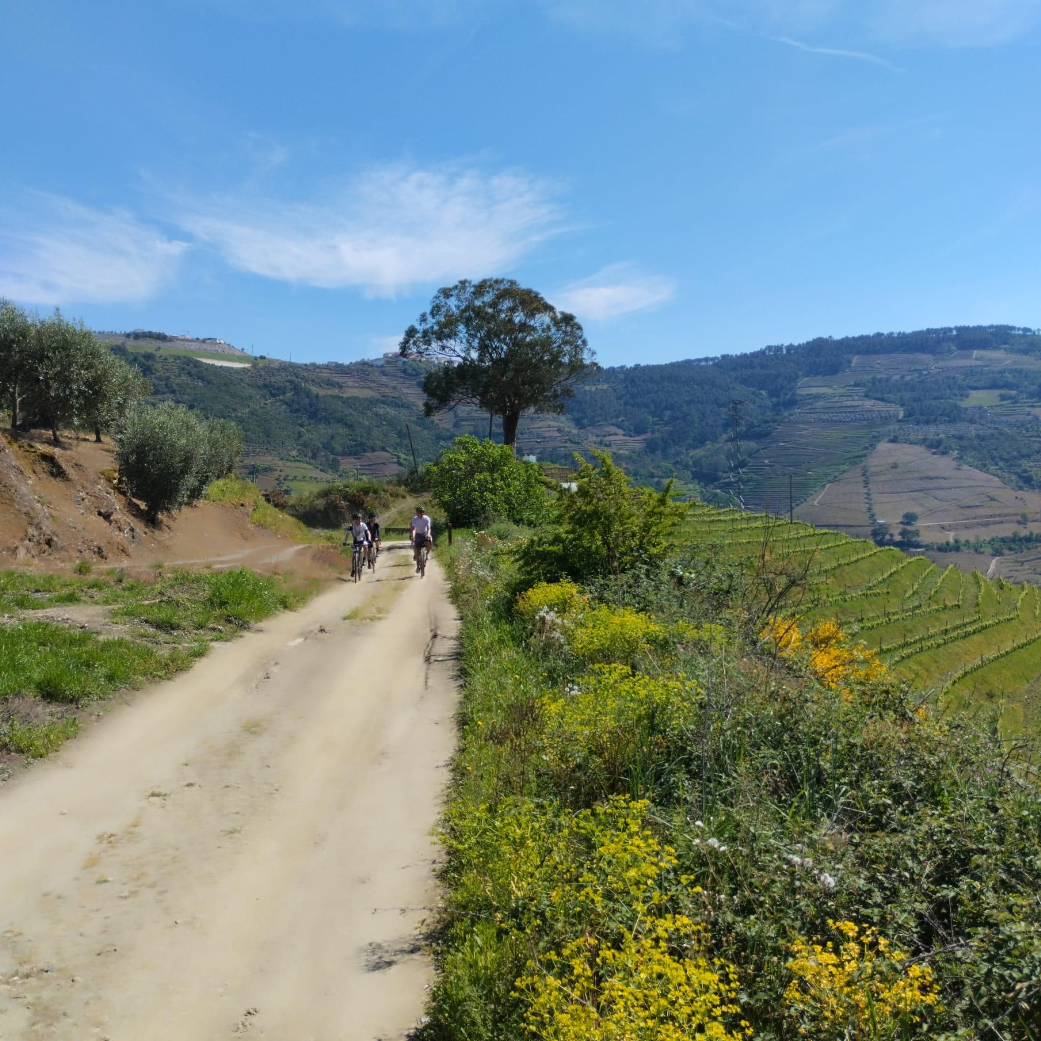
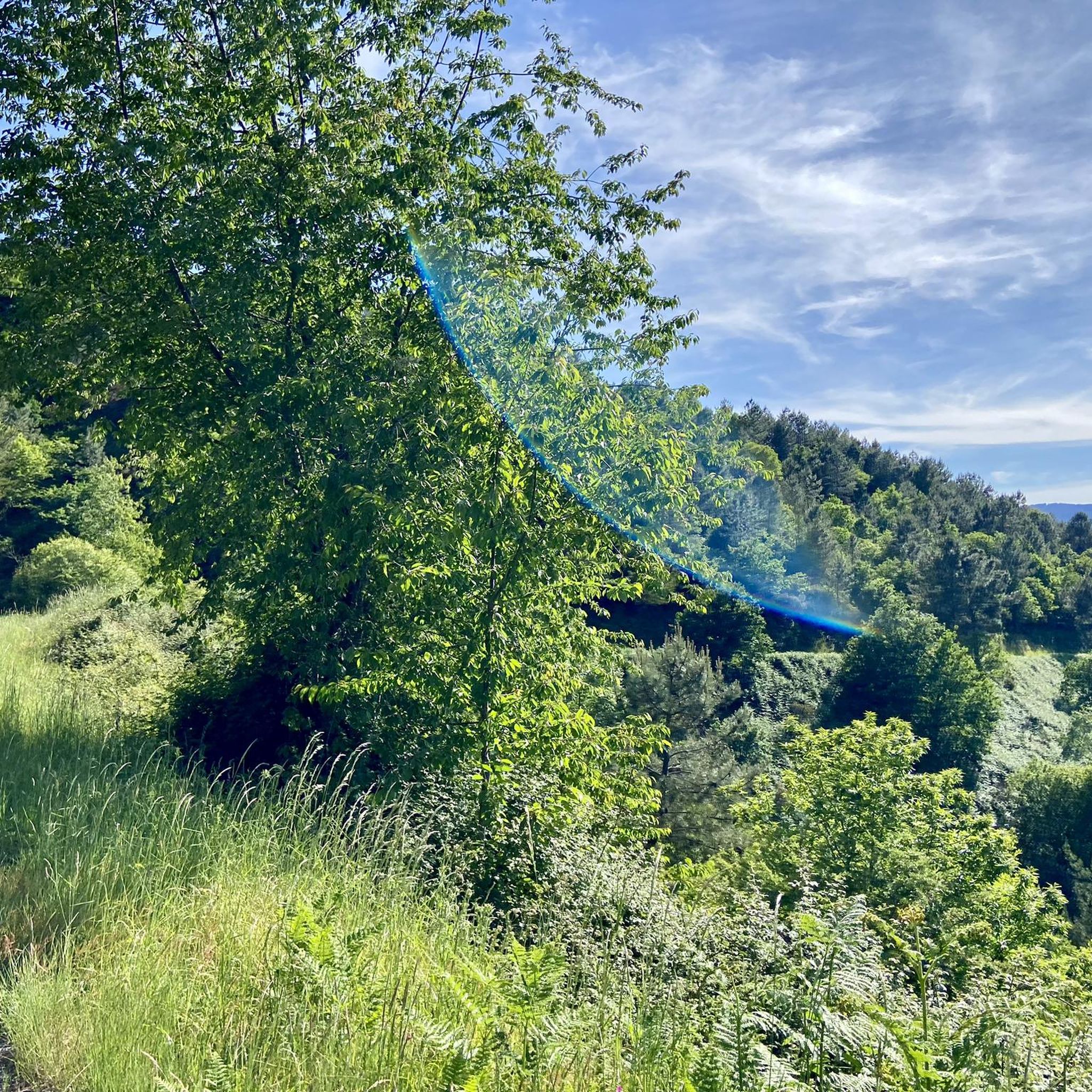
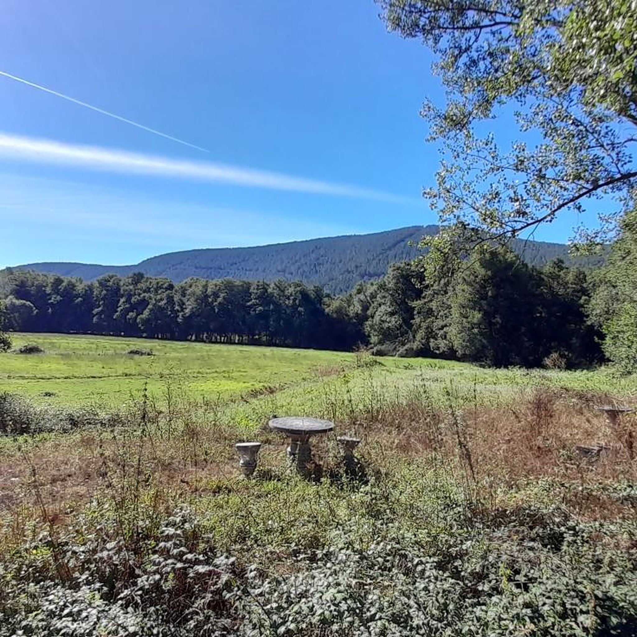
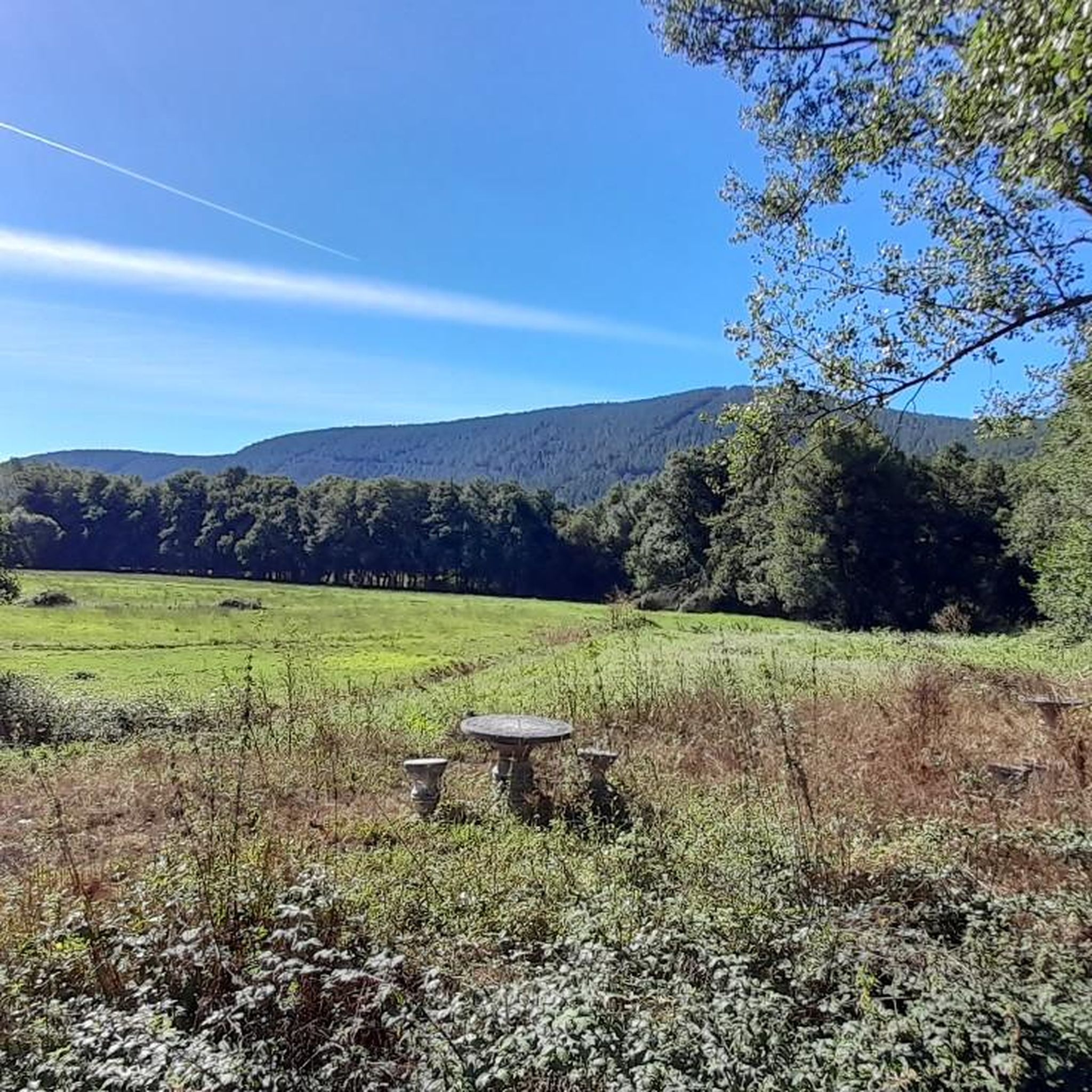
Tips from the Community

The Cabreiroá Spa is one of Galicia's most emblematic thermal resorts, renowned for the quality of its mineral-medicinal waters and a history that blends science, modernist architecture, and thermal tradition. As early as the 19th century, a pool existed there, used by locals to treat stomach and bladder problems, and to promote wound healing.
2
0

Located in the village of Cabreiroá, is the Cabreiroá Spa, made up of a spring, the mineral water bottling facilities and the spa itself. Currently, it is closed, but it is possible to visit part of the enclosure. Admission for your visit is free, although you must check the opening hours, as these may vary.
2
1
Magnificent waterfall in the Rego das Quintas, a tributary of the Abedes River that rises on Mount Fraga de Lobos. Due to the large rocks that surround the well, it is impossible to see the full magnitude of this great waterfall. A sign, next to the sound of water, indicates the descent to the river. Although the path is quite accessible, you have to be careful not to slip on rainy days. To be able to see the waterfall, you have to look below, in an opening between the stones.
2
2
Frequently Asked Questions
How many running routes are available around Río Támega?
There are over 10 dedicated jogging routes around Río Támega listed on komoot, offering a variety of experiences for runners. These routes are highly rated by the komoot community, with an average score of 4.25 stars.
What kind of terrain can I expect on the jogging routes along Río Támega?
The Río Támega region offers a diverse range of terrain for runners. You'll find routes through open valleys, extensive riparian forests, and even narrow mountain gorges. Some paths provide relatively flat stretches, while others, particularly past Ribeira de Pena and Amarante, feature more challenging elevation changes and picturesque views.
Are there any easy or beginner-friendly running paths in the Río Támega area?
Yes, while some routes are more challenging, there are options suitable for beginners. The region offers paths with less elevation gain, particularly in the open valley areas. For example, the Running loop from Outeiro Seco is a moderate 6.4-mile (10.3 km) trail that leads through open landscapes with minimal elevation, making it a good choice for a more relaxed run.
Can I find circular jogging routes around Río Támega?
Absolutely. Many of the running routes in the Río Támega area are designed as loops, allowing you to start and finish at the same point. A popular option is the Pozo de Demo - circular from Verin, which is a 9.7-mile (15.5 km) route offering varied terrain and scenic views.
What are some notable landmarks or scenic viewpoints I might encounter while running?
The region is rich in natural beauty and historical sites. You can enjoy panoramic views of the Támega valley, especially from routes near the large castle of Monterrei. The Verín – Castle of Monterrei loop from Verín offers significant elevation gain and stunning views of this historic landmark. Additionally, the river's course features riparian forests and natural pools, creating serene backdrops for your run.
Are the running routes around Río Támega suitable for families?
Yes, the diverse landscape of Río Támega includes routes that are suitable for families. Look for paths in riverside parks or open valley areas, which tend to be flatter and less challenging. While specific 'family-friendly' routes are not explicitly detailed, the variety of terrain suggests easier options exist for a more leisurely family jog.
Are dogs allowed on the jogging trails in the Río Támega region?
While specific regulations for dogs on every trail are not provided, many outdoor areas in Portugal and Spain are generally dog-friendly, especially on natural trails. It's always recommended to keep your dog on a leash and clean up after them. For specific routes, checking local signage or the route description on komoot for any restrictions is advisable.
What is the best time of year for jogging around Río Támega?
The Río Támega region, known for its warm grape and wine-growing valleys, generally offers pleasant conditions for jogging. Spring and autumn typically provide milder temperatures, ideal for outdoor activities. Summer can be warm, especially in the valleys, so early morning or late afternoon runs are recommended. Winter offers a different charm, though some higher elevation paths might be cooler.
Are there places to eat or stay near the jogging routes?
Yes, as the Río Támega flows through historic cities like Chaves and Amarante, you'll find various amenities. These towns, along with others in the region, offer cafes, restaurants, and accommodation options. The presence of thermal springs in areas like Verín and Chaves also suggests facilities catering to visitors, which would include places to refuel and rest.
How can I access the jogging trails around Río Támega by public transport?
Access to trails by public transport will vary depending on the specific starting point of the route. Larger towns along the Río Támega, such as Verín, Chaves, and Amarante, are generally well-served by regional bus networks. From these towns, you might find local transport options or need to walk/cycle to reach specific trailheads. Checking local transport schedules for your chosen starting point is recommended.
Where can I find parking for the jogging routes?
Parking availability will depend on the specific trailhead. In towns like Verín or near popular recreational areas such as the running circuit in Chaves or riverside parks in Marco de Canaveses, you can typically find designated parking areas. For more remote trailheads, roadside parking might be available, but it's always best to check the route details on komoot or local signage for specific parking information.
What is the difficulty level of the running routes in Río Támega?
The running routes around Río Támega cater to various fitness levels. You'll find a mix of easy, moderate, and difficult trails. For instance, there are 1 easy route, 6 moderate routes, and 4 difficult routes listed on komoot. Difficult routes, like the Verín – Castle of Monterrei loop from Verín, often feature significant elevation gain, while moderate options like the Balneario de Cabreiroá loop from Verín offer a good balance of challenge and accessibility.
Most popular routes around Río Támega

Get inspired with the komoot mobile app


Explore more
Browse the best Running Trails & Routes in other regions.
