The best walks and hikes in Parga - Ladra - Támoga
4.7
(246)
2,157
hikers
126
hikes
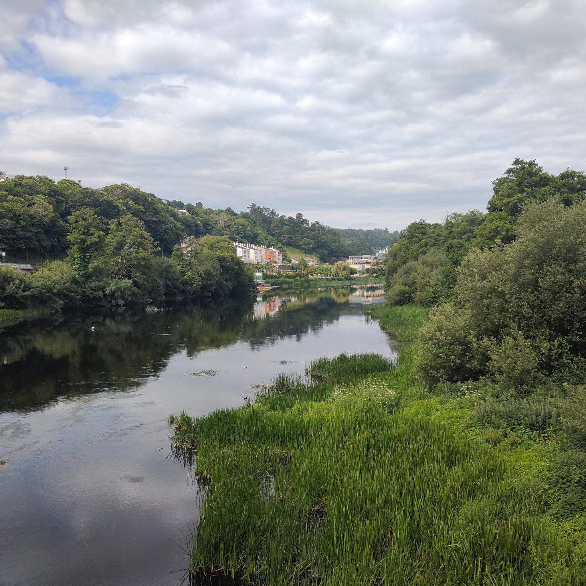
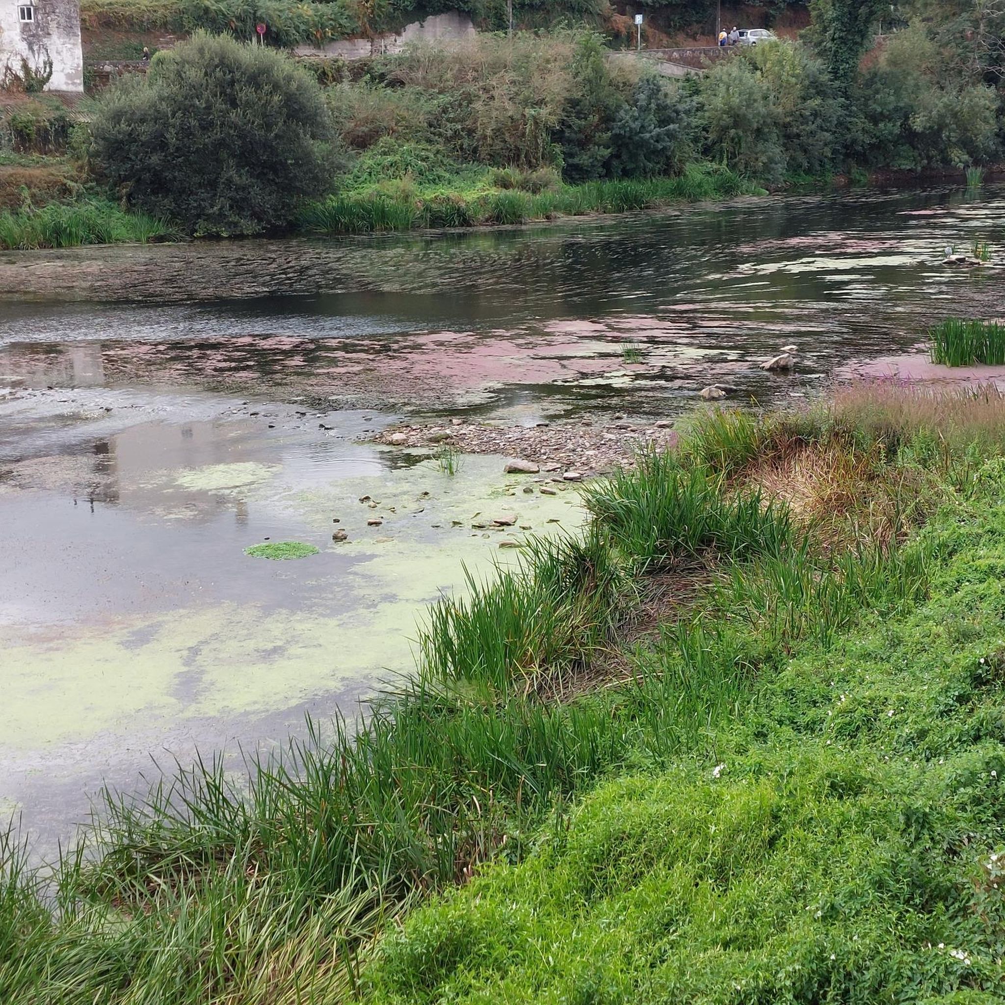
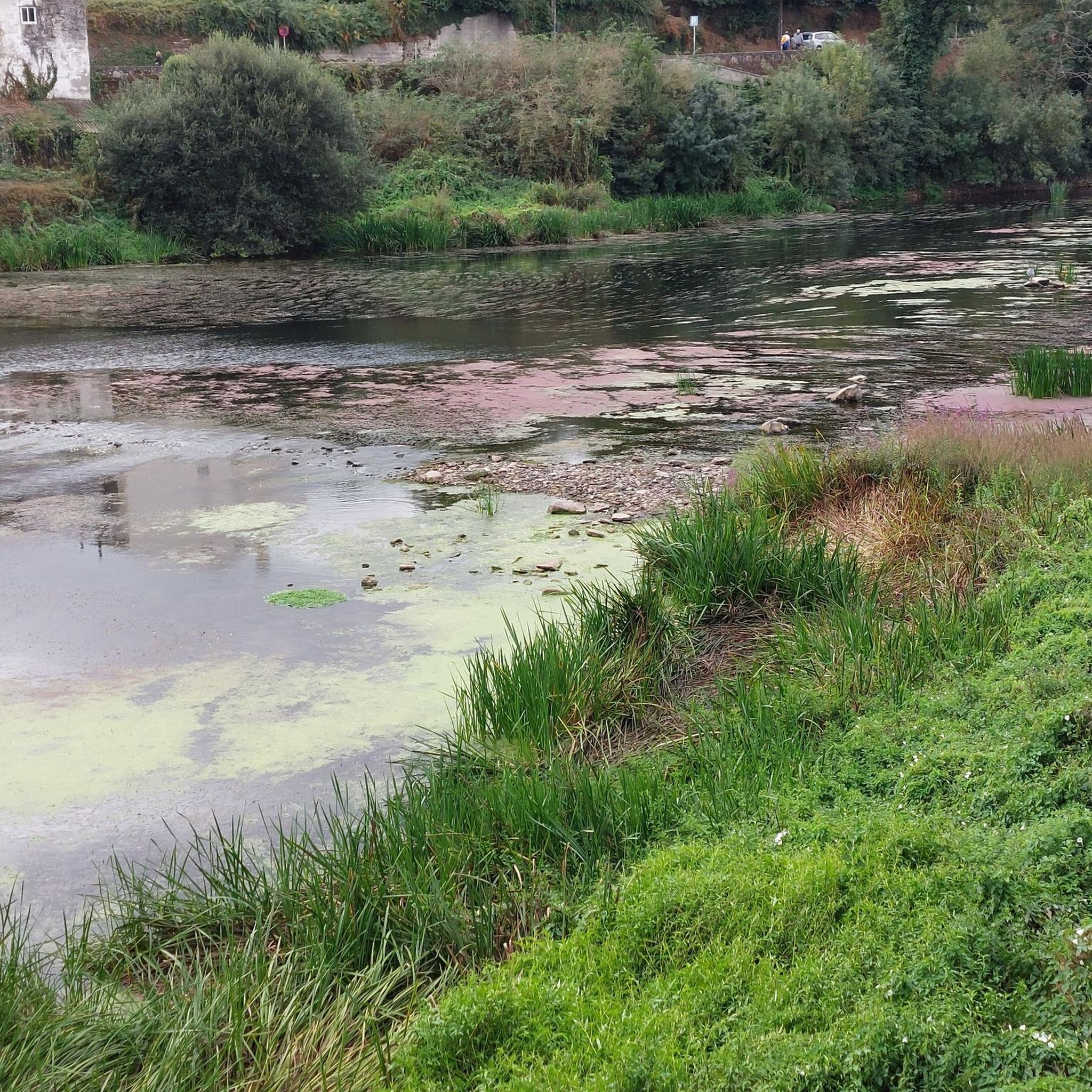
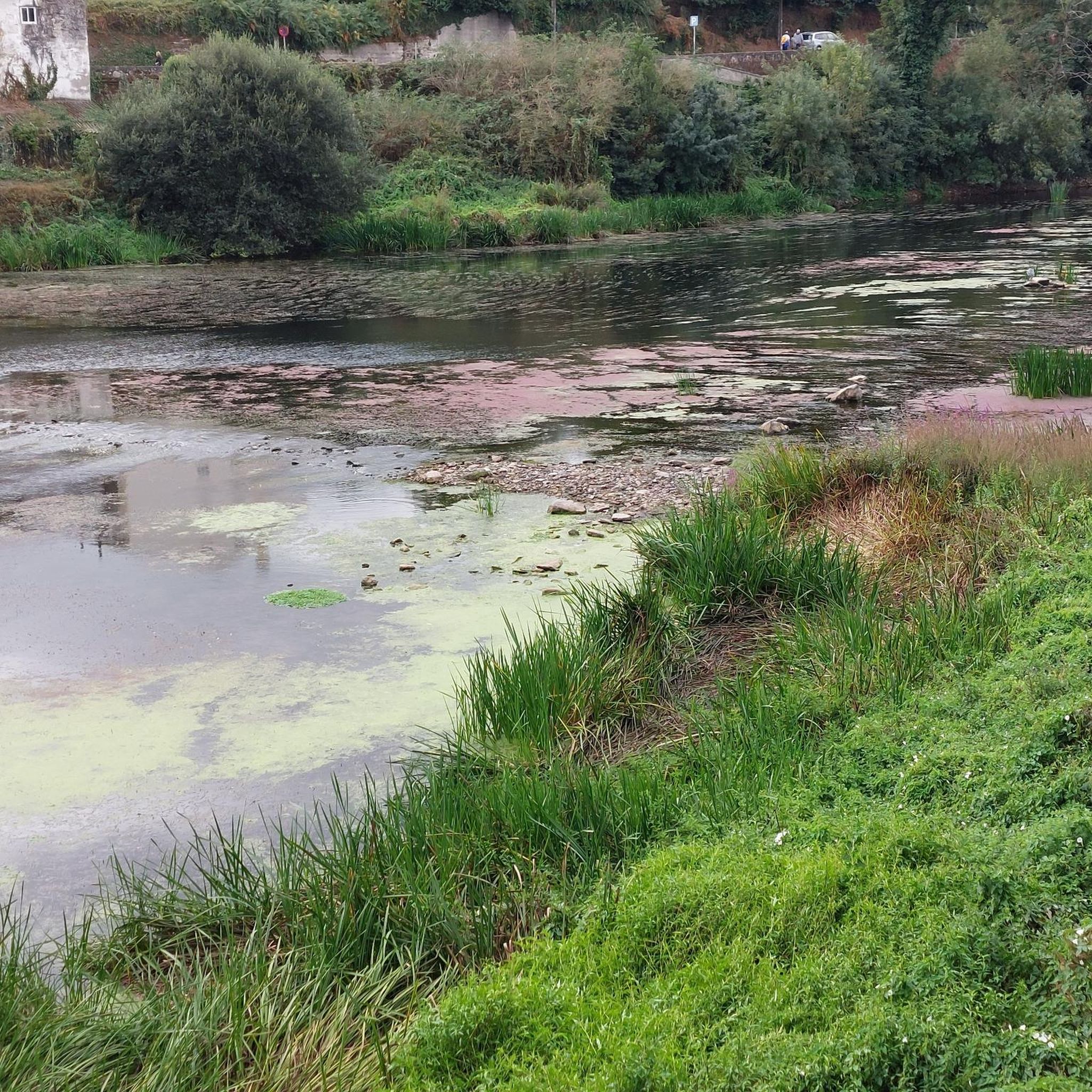
Hiking in Parga - Ladra - Támoga, located in the upper Miño river basin in Galicia, Spain, is characterized by an intricate network of rivers, extensive wetlands, and diverse forests. The region features relatively flat terrain and clay soil, which contributes to the formation of numerous pools and lacustrine systems, including the Cospeito and Caque lagoons. These natural features, along with ancient stone bridges and traditional mills, define the landscape for hikers.
Best hiking trails in Parga - Ladra - Támoga
- The most popular hiking route is Camiño do Miño Trail, an 8.2 miles (13.2 km) trail that takes 3 hours 29 minutes to complete. This moderate route follows the Miño river basin through varied landscapes.
- Another top favourite among local hikers is Monte Segade – circular around the Rio Mera environment from Lugo, a moderate 9.4 miles (15.2 km) path. This trail explores the Rio Mera environment with notable elevation changes.
- Local hikers also love the Cospeito Lagoon – Laguna de Cospeito loop from Área de Cospeito, a 2.1 miles (3.5 km) trail leading through wetland areas, often completed in about 52 minutes.
- Hiking in Parga - Ladra - Támoga is defined by slow-flowing rivers, extensive wetlands, and diverse forests, including oak and alluvial woodlands. The network offers options for different ability levels, with 55 easy and 54 moderate routes available.
- The routes in Parga - Ladra - Támoga are highly rated by the komoot community with an average score of 4.7 stars from more than 200 reviews. More than 2000 hikers have used komoot to explore Parga - Ladra - Támoga's varied terrain.
Last updated: July 7, 2026
4.4
(5)
15
hikers
13.2km
03:30
130m
130m
Hike the moderate 8.2-mile Camiño do Miño Trail in Terras do Miño, featuring river views, historical bridges, and diverse landscapes.
4.0
(1)
8
hikers
15.2km
04:16
300m
300m
Moderate hike. Good fitness required. Mostly accessible paths. Sure-footedness required.

Sign up for free
5.0
(5)
30
hikers
3.46km
00:53
10m
10m
Easy hike. Great for any fitness level. Easily-accessible paths. Suitable for all skill levels.
5.0
(2)
18
hikers
9.18km
02:28
120m
120m
Moderate hike. Good fitness required. Easily-accessible paths. Suitable for all skill levels.
4.0
(2)
13
hikers
Easy hike. Great for any fitness level. Easily-accessible paths. Suitable for all skill levels.
Get access to more routes and recommendations from other explorers.
Sign up for free
Already have an account?
Our route recommendations are based on thousands of hikes, rides, and runs completed by other people on komoot.
Start today with a free account
Your next adventure awaits.
Login or Signup
Tips from the Community

Cospeito Lagoon, also known as Santa Cristina Lagoon, is one of the most important wetlands in Galicia, located in the municipality of Cospeito, about 25 km north of Lugo, within the Terra Chá region. The lagoon and its wet meadows are home to a wide variety of species.
4
0

Very old chapel. Unfortunately closed.
1
1
A viaduct as shown in the picture.
3
0

A beautiful old and photogenic bridge 🤙
1
1
The Ombreiro Bridge is located in the parish of San Martiño de Ombreiro, in the province of Lugo. This bridge is part of a very popular river route that runs along the banks of the Miño River, offering a spectacular natural environment with native forests and a great diversity of flora and fauna.😎🚶♀️
4
0

stop to rest here at the end of the route
0
1

Worth seeing is an old Roman bridge that was restored to its original state after the road was first tarred.
2
0
The Roman Bridge of Lugo or old bridge, 104 meters long and 4 meters wide, is a bridge from Roman times that underwent reconstruction during the 12th, 14th and 18th centuries.
8
1
Frequently Asked Questions
What types of hiking trails can I find in Parga - Ladra - Támoga?
Parga - Ladra - Támoga offers a diverse range of hiking trails, characterized by an intricate network of rivers, extensive wetlands, and varied forests, including significant oak and alluvial woodlands. The terrain is generally flat, leading to numerous pools and lacustrine systems. You'll find routes suitable for various ability levels, with 55 easy and 54 moderate routes available, alongside 11 more challenging options.
Are there any easy or family-friendly hikes in the region?
Yes, the region is well-suited for easy and family-friendly hikes, with 55 easy routes available. A great option is the Cospeito Lagoon – Laguna de Cospeito loop from Área de Cospeito, an easy 2.1-mile (3.5 km) trail that takes about 52 minutes to complete, leading through beautiful wetland areas. Another accessible choice is the Roman Bridge over the Miño River – Roman Bridge of Lugo loop from Lugo, an easy 3.7-mile (5.9 km) route.
What natural attractions can I see along the hiking trails in Parga - Ladra - Támoga?
The region is rich in natural beauty. You can explore significant lacustrine systems like the Cospeito Lagoon and Caque lagoons, which are crucial habitats for migratory birds. The trails often follow the slow-flowing rivers such as the Parga, Ladra, Támoga, and Miño, offering lush riverside scenery. You might also encounter the Charca do Alligal Thermal Pool, a unique natural monument.
Are there any historical landmarks or points of interest to discover while hiking?
Absolutely. The rivers and streams are often crossed by ancient stone bridges, some made of slate, and you can find traditional structures like old mills. Notable historical sites include the San Alberte Chapel in Guitiriz, a large Gothic chapel set in a beautiful natural environment near the Parga River, alongside a Renaissance-style fountain. The Roman Bridge of Lugo is another significant historical landmark you can encounter.
Can I find circular hiking routes in Parga - Ladra - Támoga?
Yes, circular routes are available, allowing you to start and end your hike in the same location. An example is the Monte Segade – circular around the Rio Mera environment from Lugo, a moderate 9.4-mile (15.2 km) path that explores the Rio Mera environment. The Cospeito Lagoon – Laguna de Cospeito loop from Área de Cospeito is another popular circular option.
What is the best time of year to go hiking in Parga - Ladra - Támoga?
The region's climate, characterized by slow-flowing waters and seasonal changes, makes it enjoyable for hiking across multiple seasons. Spring and autumn are particularly pleasant, offering mild temperatures and vibrant natural colors. The wetlands and lagoons are especially beautiful during these times, providing excellent opportunities for nature observation.
What do other hikers enjoy most about the trails in Parga - Ladra - Támoga?
The area is highly rated by the komoot community, with an average score of 4.7 stars from over 200 reviews. Hikers often praise the serene beauty of the slow-flowing rivers and extensive wetlands, the diverse forests, and the opportunity to connect intimately with nature. The well-maintained routes and the blend of natural and historical attractions are also frequently highlighted.
Are there any trails that follow the Miño River?
Yes, several trails allow you to experience the Miño River and its basin. A notable route is the Camiño do Miño Trail, a moderate 8.2-mile (13.2 km) path that follows the Miño river basin through varied landscapes. You can also find the Río Miño in Reserva da Biosfera Terras do Miño, which is a significant natural highlight in the area.
Are there opportunities for wild swimming or water activities?
Yes, the region's numerous rivers and pools offer opportunities for enjoying the water. You can find spots for Swimming in the Río de Parga, which is a popular highlight. The presence of the Charca do Alligal Thermal Pool also suggests unique water-related experiences.
What is the typical terrain like on the hiking trails?
The terrain in Parga - Ladra - Támoga is generally characterized by its relatively flat nature, influenced by the limited permeability of its clay soil. This leads to the formation of numerous pools and lacustrine systems. Trails often traverse varied landscapes including extensive wetlands, diverse forests (oak and alluvial woodlands), and follow the winding courses of rivers. While generally flat, some moderate routes like Monte Segade – circular around the Rio Mera environment from Lugo do feature notable elevation changes.
How many hiking trails are available in Parga - Ladra - Támoga?
There are over 120 hiking trails available in Parga - Ladra - Támoga. These routes cater to various skill levels, with 55 easy, 54 moderate, and 11 difficult options, ensuring there's a path for every hiker.
Most popular routes in Parga - Ladra - Támoga
Most popular attractions in Parga - Ladra - Támoga

Get inspired with the komoot mobile app


Explore more
Browse the best Hikes in other regions.
