The best road cycling routes in Pena Veidosa
47
riders
5
rides
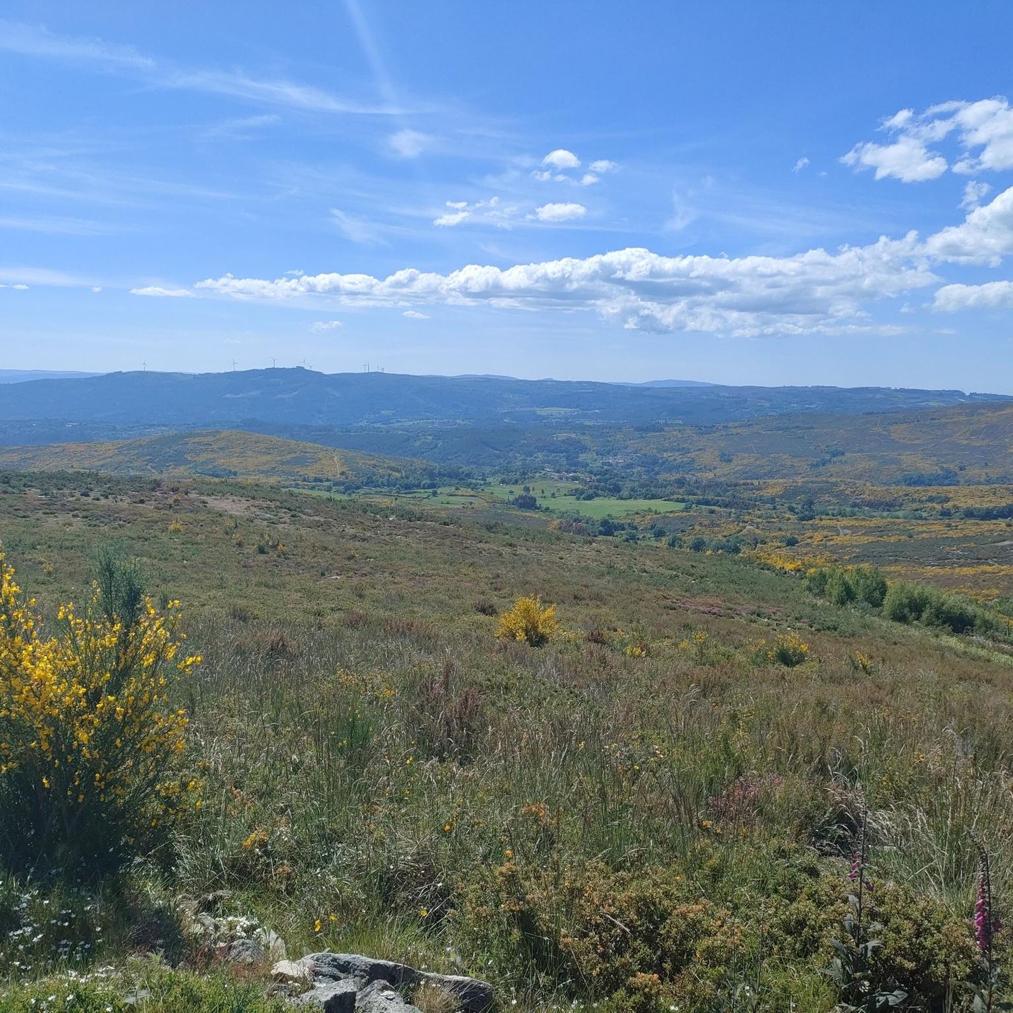
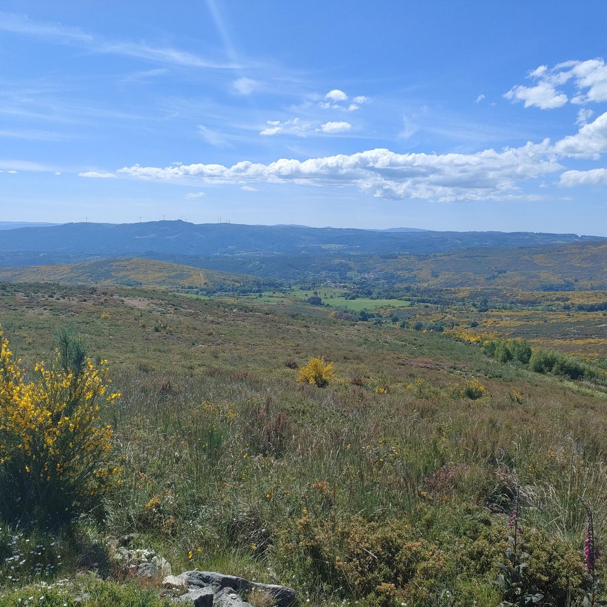
Road cycling routes in Pena Veidosa traverse a protected natural area in Galicia, Spain, characterized by mountainous terrain and significant natural features. The region features prominent peaks, some exceeding 1000 meters, and striking geological formations of immense granite boulders. River valleys, such as the Arenteiro, are lined with forests of ash, alder, and oak, while higher elevations consist of low mountain scrub. This diverse landscape offers varied road cycling opportunities within the Galician Dorsal mountain range.
Best road cycling routes…
Last updated: October 2, 2026
9
riders
65.9km
03:29
1,060m
1,060m
Hard road ride. Very good fitness required. Mostly well-paved surfaces and easy to ride.
11
riders
35.4km
01:50
520m
520m
Moderate road ride. Good fitness required. Mostly well-paved surfaces and easy to ride.

6
riders
57.4km
03:03
1,010m
1,010m
Hard road ride. Very good fitness required. Mostly well-paved surfaces and easy to ride.
5.0
(1)
5
riders
47.6km
02:30
870m
870m
Moderate road ride. Good fitness required. Mostly well-paved surfaces and easy to ride.
1
riders
32.3km
01:51
640m
640m
Moderate road ride. Good fitness required. Mostly well-paved surfaces and easy to ride.
Our route recommendations are based on thousands of hikes, rides, and runs completed by other people on komoot.
Start today with a free account
Your next adventure awaits.
Popular around Pena Veidosa

Tips from the Community

The Monastery of Santa María la Real de Oseira is located in the parish of Oseira (municipality of San Cristovo de Cea, Ourense), about 34 km from the city of Ourense and near the borders with Pontevedra and Lugo. Founded in 1137 by a group of hermits, it joined the Cistercian Order of Clairvaux in 1141. During the 12th and early 13th centuries, its main church was built, becoming one of the largest Cistercian monasteries in Spain. In 1552, a fire devastated the complex, but the church survived and retains an elegant, understated architectural style.
1
0

Great satisfaction arrived at the top! The view is worth it, beautiful forest on the descent.
0
0

12th century monastery in the Sierra de Faro on the banks of the Oseira River. It is one of the most notable historical buildings in Galicia and one of the stops for pilgrims on the Camino de la Plata. Stop and wander around the monastery grounds. There is a spring water fountain right outside for you to feel the bottles.
2
1
A small rural town on the Camino route between Ourense and Santiago de Compostela. You can carb-load by eating the bread the town is most notable for. There is a water fountain in the main square.
1
0
Gran church, with a tower of remarkable height built in the 1940s in the center of O Carballiño, at the crossroads of the commercial route between Ourense, Pontevedra and Santiago de Compostela.
1
0

Temple located in Carballiño, in Ourense, built in the mid-20th century mixing Romanesque and Gothic styles. Directed by the architect Antonio Palacios, the church stands out for its sculptural exterior influenced by Gaudí's architecture.
2
1
City in the northwest of the province of Pontevedra on the road route
1
0
Frequently Asked Questions
What is the general difficulty level for road cycling in Pena Veidosa?
Pena Veidosa offers a range of road cycling routes, from moderate paths suitable for many fitness levels to challenging mountain stretches. The terrain is mountainous, featuring significant ascents and descents, making it a rewarding destination for those seeking a challenge. For example, the Joaquín Loriga Statue – Lalín loop from Velorio Municipal is a difficult route with substantial elevation gains.
Are there road cycling routes suitable for beginners in Pena Veidosa?
While Pena Veidosa is known for its mountainous terrain, there are moderate routes available. These routes still involve some elevation changes but are generally more accessible. The Pilgrims' Hostel loop from As Lagoas is a moderate option, covering 19.5 miles (31.3 km) through forested areas and open scrubland.
What historical or natural landmarks can I see while road cycling in Pena Veidosa?
Pena Veidosa is rich in both natural beauty and historical sites. You can encounter immense granite boulders sculpted by wind erosion in higher elevations. Historically, the 12th-century Romanesque Oseira Monastery, a significant building in Galicia and a stop on the Camino de la Plata, is accessible. The town of Cea, known for its bread, is another rural town along the Camino route.
Are there any scenic viewpoints along the road cycling routes?
Yes, the Mirador da Martiñá is a notable viewpoint located in the upper part of the mountain, offering panoramic views of the surrounding landscapes. The mountainous terrain itself provides many opportunities for scenic vistas throughout your ride.
When is the best time of year to go road cycling in Pena Veidosa?
The region's diverse landscapes can be enjoyed across various seasons. While specific recommendations for road cycling aren't detailed, generally, spring and autumn offer pleasant temperatures and vibrant scenery. Summer can be warm, and winter may present colder conditions, especially at higher elevations.
Are there family-friendly road cycling routes in Pena Veidosa?
While many routes feature significant ascents, some moderate paths might be suitable for families with older children or those accustomed to cycling. It's advisable to check the elevation profiles and distances of routes like the Church of San Tomé de Maside – Pilgrims' Hostel loop from Piñor to ensure they match your family's fitness level.
Are there circular road cycling routes available in Pena Veidosa?
Yes, many of the road cycling routes in Pena Veidosa are designed as loops, allowing you to start and end at the same point. Examples include the Church of San Tomé de Maside – Pilgrims' Hostel loop from Piñor and the Os Peares Dam – Bridge Over the Miño River loop from Vilamarín.
Are there places to eat or drink along the road cycling routes in Pena Veidosa?
The town of Cea, known for its bread, is a rural town along the Camino route and could offer places to refuel. The Oseira Monastery also has a spring water fountain nearby. Given the rural nature of the area, it's recommended to plan your stops and carry sufficient provisions, especially on longer routes.
What do other road cyclists enjoy most about road cycling in Pena Veidosa?
The area is highly rated by the komoot community, with an average score of 3.0 stars. Road cyclists often praise the varied terrain, which includes mountainous sections, granite formations, and river valleys, offering diverse and engaging rides. The opportunity to explore a protected natural area with significant natural features is also a highlight.
How many road cycling routes are available in Pena Veidosa?
There are several road cycling routes available in Pena Veidosa, offering a variety of distances and difficulty levels. Currently, komoot features over 4 distinct road cycling tours in the region, with options ranging from moderate to difficult.
What kind of natural environment can I expect while road cycling in Pena Veidosa?
Pena Veidosa is a protected natural area characterized by mountainous terrain, prominent peaks exceeding 1000 meters, and striking geological formations of immense granite boulders. River valleys, such as the Arenteiro, are lined with forests of ash, alder, and oak, while higher elevations consist of low mountain scrub, rich in heath and grassland. This diverse environment supports a variety of wildlife.
Are there any very long or challenging road cycling routes for experienced riders?
Yes, experienced riders will find challenging routes with significant distances and elevation gains. For instance, the Rodeiro Town Hall – Palas de Rei (French Way) loop from Rodeiro is a difficult 84 km (52.2 miles) route with over 1200 meters of ascent, providing a substantial challenge.

Get inspired with the komoot mobile app


Explore more
Browse the best Road cycling routes in other regions.
