The best running trails in Snowdonia
4.7
(133)
10,300
runners
501
runs
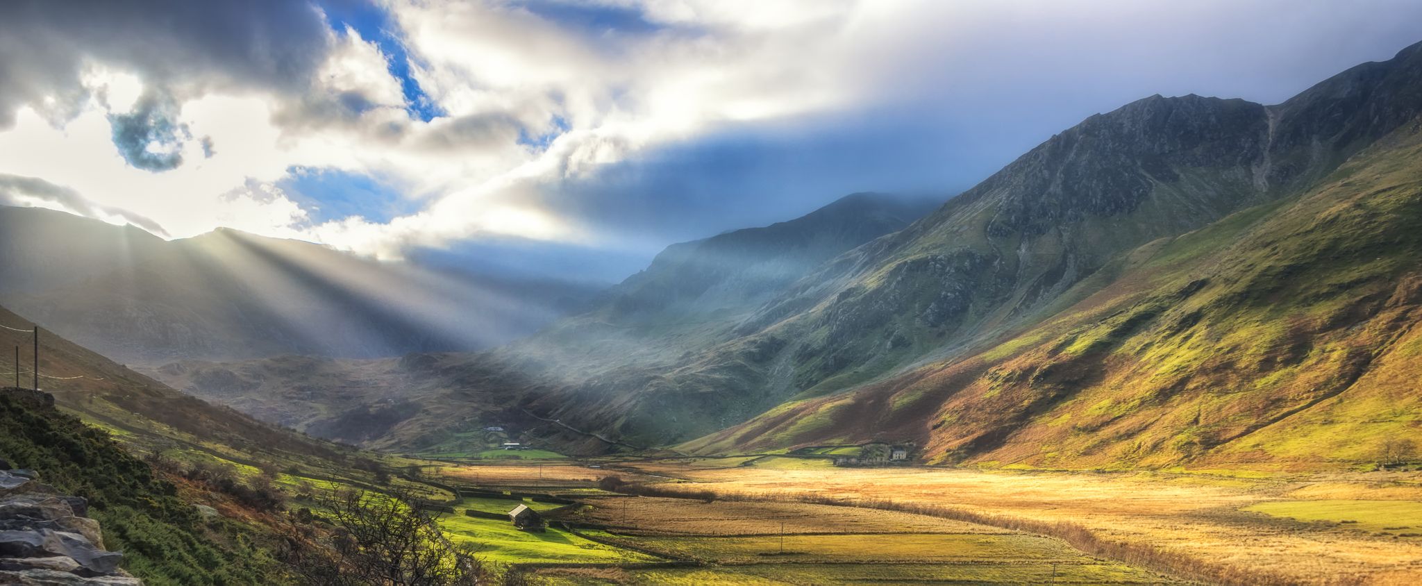
Jogging in Snowdonia offers a diverse range of terrain, from glaciated valleys to high mountain passes. The region is characterized by its dramatic peaks, including Yr Wyddfa (Snowdon) and Cadair Idris, numerous lakes, and extensive forests. This varied landscape provides a comprehensive network of trails suitable for different running abilities.
Best jogging routes in Snowdonia
- The most popular jogging route is Pyg and Miners Track loop on Yr Wyddfa (Snowdon) from Pen-y-Pass, a 7.6 miles (12.2 km) trail that takes 2 hours 11 minutes to complete. This difficult route offers views of neighboring peaks and valleys around Wales' highest mountain.
- Another top favourite among local runners is Carnedd Dafydd & Carnedd Llewelyn loop from the Ogwen Valley, a difficult 12.2 miles (19.7 km) path. This route explores high, remote mountains, providing dramatic vistas across the Ogwen Valley.
- Local runners also love the Beast of Brenin Trail, an 8.9 miles (14.3 km) trail leading through dense forests, often completed in about 1 hour 43 minutes.
- Jogging in Snowdonia is defined by its iconic mountain ranges, numerous lakes, and ancient forests. The network of running routes offers options for various ability levels, from moderate forest trails to challenging fell runs.
- The routes in Snowdonia are highly rated by the komoot community with an average score of 4.7 stars from over 100 reviews. More than 10,000 runners have used komoot to explore Snowdonia's varied terrain.
Last updated: September 26, 2026
5.0
(4)
459
runners
Hard run. Very good fitness required. Sure-footedness, sturdy shoes and alpine experience required.
4.8
(4)
178
runners
19.7km
02:50
930m
930m
Embark on a difficult jogging adventure through the Carneddau range with the Carnedd Dafydd & Carnedd Llewelyn loop. This challenging route covers 12.2 miles (19.7 km) and ascends a substantial 3050 feet (930 metres), providing a rigorous workout amidst stunning mountain scenery. You will navigate varied terrain, from rocky sections to open fells, experiencing the raw beauty of Snowdonia. Plan for approximately 2 hours and 50 minutes to complete this demanding journey, with rewarding panoramic views from the high peaks.
Before you set out, be aware that this route is rated difficult due to its significant elevation gain and diverse ground underfoot, including loose scree and some scrambles. The weather in Snowdonia can change very quickly; prepare for strong winds, rain, or fog, which can make conditions even tougher. Parking is conveniently available at the Ogwen Visitor Centre and Snack Bar, which also serves as the starting point for your loop.
This trail offers a genuine mountain experience, often feeling less crowded than other popular peaks in Snowdonia, allowing for a more solitary connection with nature. As you ascend, you will pass by the shimmering waters of Ffynnon Lloer, a beautiful mountain lake nestled in a cwm. The route provides exhilarating ridge walks and expansive vistas over the Glyderau and Tryfan, showcasing the dramatic geological features that define this part of Wales.

187
runners
9.36km
02:01
790m
790m
The Minffordd Path Cadair Idris Loop offers a difficult jogging challenge, covering 5.8 miles (9.4 km) with a significant elevation gain of 2601 feet (793 metres). You can expect to complete this demanding route in about 2 hours and 1 minute. As you ascend, you'll pass through ancient woodlands and alongside the impressive waterfalls of Nant Cadair Gorge. The trail then circles the stunning glacial lake of Llyn Cau, nestled dramatically within a bowl-shaped depression. From higher up, panoramic views stretch across Eryri National Park, making the effort worthwhile.
Be prepared for a very steep initial ascent on the Minffordd Path, which features rugged and uneven ground. This includes sections of loose scree and numerous steep steps, so sure-footedness is essential. While some parts might be runnable, many sections will require walking due to the gradient and technical terrain. A good level of fitness is crucial for tackling this difficult loop. Consider starting early to allow ample time and to enjoy the views before crowds gather.
Cadair Idris is a mountain steeped in Welsh mythology, often associated with a giant or a sleeping dragon. The name itself translates to "Idris's Chair," referring to a mythical giant. The dramatic landscape, shaped by glacial activity, contributes to the unique character of the trail, particularly around Llyn Cau. This route provides a memorable experience of one of Eryri National Park's most iconic peaks.
5.0
(1)
125
runners
Hard run. Very good fitness required. Sure-footedness, sturdy shoes and alpine experience required.
5.0
(2)
123
runners
Hard run. Very good fitness required. Sure-footedness, sturdy shoes and alpine experience required.
Get access to more routes and recommendations from other explorers.
Already have an account?
Our route recommendations are based on thousands of hikes, rides, and runs completed by other people on komoot.
Start today with a free account
Your next adventure awaits.
Popular around Snowdonia
The Dragon's Back – running the spine of Wales
Ultra Trail Snowdonia by UTMB – 100 epic miles in Eryri
All The Peaks: Running the UK's Big Three Rounds
The UK National Three Peaks Challenge, but better
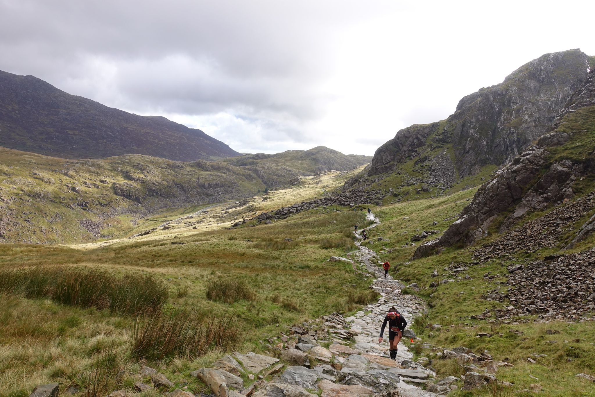
Five incredible trail running ascents of Yr Wyddfa (Snowdon)
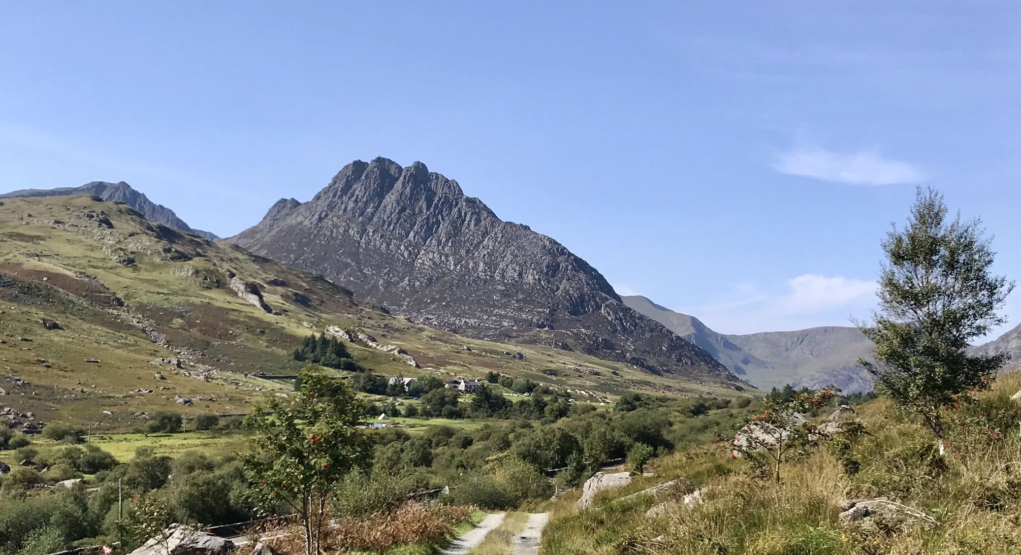
Snowdonia Way – A dramatic hike through Eryri's mountainous heart
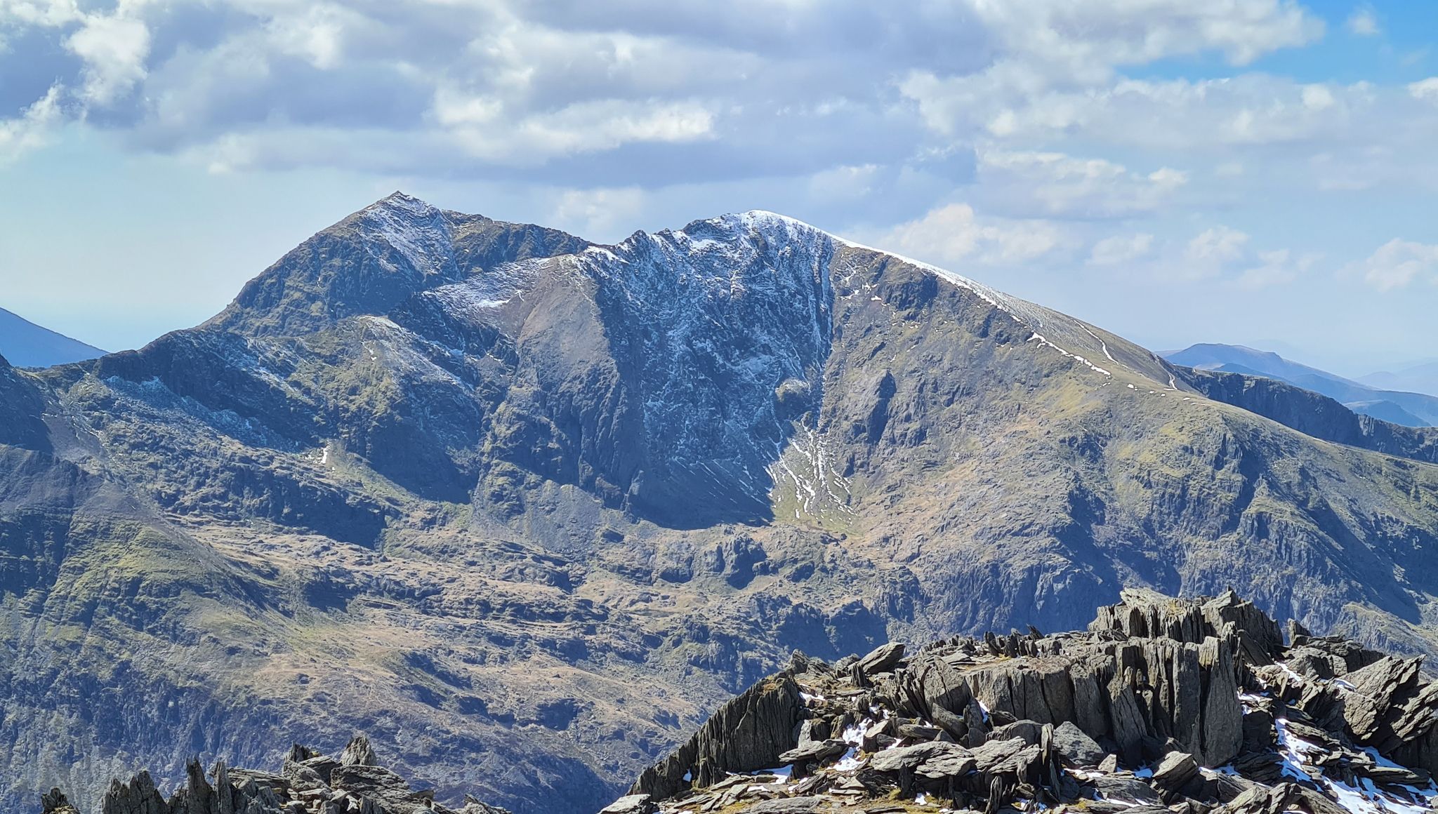
Snowdonia Way Mountain Route – Rise to Eryri's awesome summits
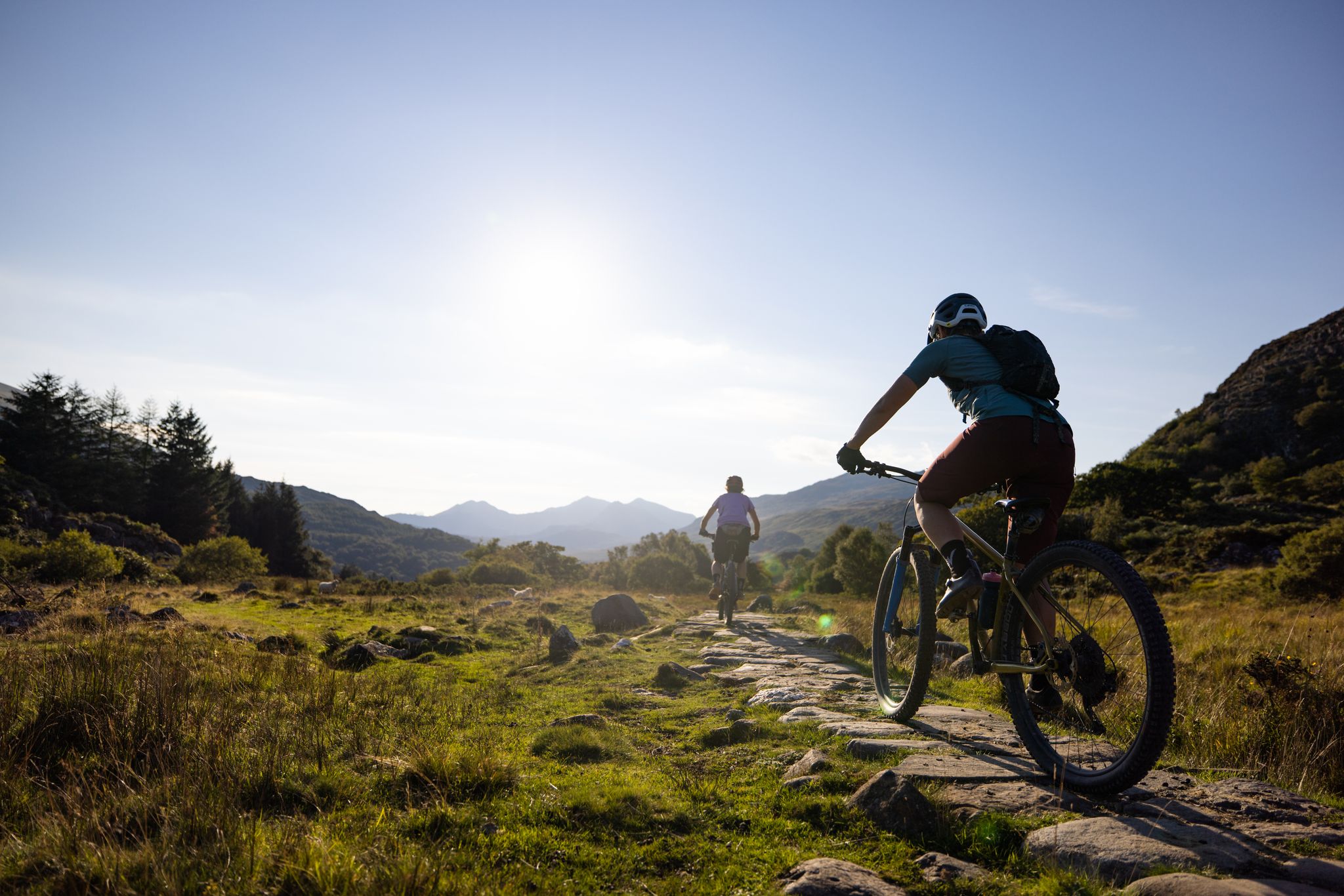
Traws Eryri — Bikepacking Snowdonia from Machynlleth to Conwy

O Fon i Fynwy — Exploring Wales on foot from top to bottom
Snowdonia Slate Trail — Unearth one of Wales' most spectacular hikes
Other adventures in Snowdonia


Tips from the Community

According to legend, Cader is named after a giant called Idris Gawr. 'Cadair Idris' means 'Chair of Idris' in English, while 'Cader' can also refer to an ancient fortress. The place is known as Cader Idris rather than Cadair, but both names are used. The most famous local fable is that if you spend the night on the mountain, you will go mad or become a poet. (Visit Wales)
6
0
It is worth the effort. At the top, you enjoy a beautiful view in all directions. It cannot be captured in photos.
6
0
Here you can, after the crossing (ladder), go to Mynydd Moel (up) or to the Dol Idris parking (down).
5
0
The Minffordd Path (Welsh: Llwybr Minffordd) starts on the south side of the mountain, near the glacial lake Tal-y-llyn. Hikers following this route climb past Llyn Cau and along the edge of Craig Cau (a rock face) to Penygadair. The route is 4.4 kilometres long and includes two ascents of over 300 metres. (Wikipedia)
6
0

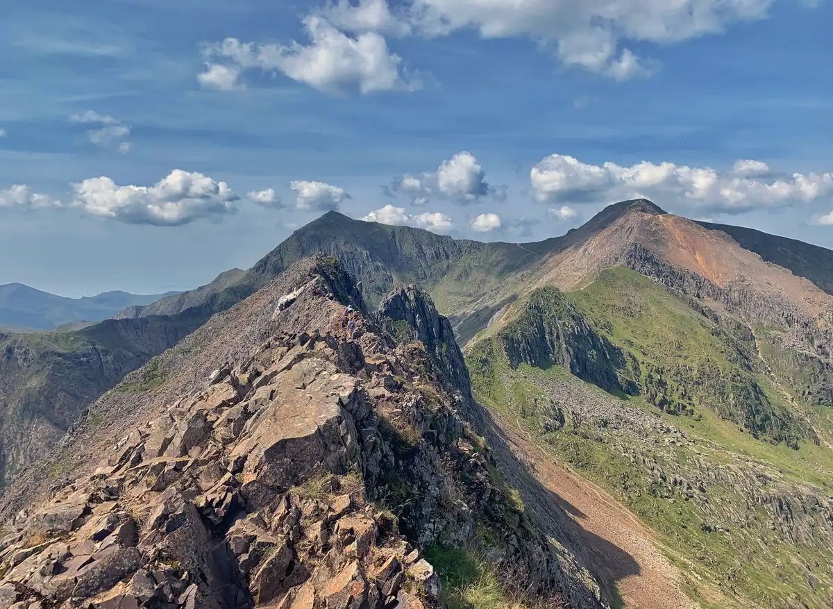
Crib Goch is a super “exciting” Grade 1 scramble, but it is important to know your abilities and manage the risks of traversing this amazing ridge. Crib Goch is one of the best ridges of its kind and grade anywhere in the UK. It has great scrambling, with some famous arete sections. On a grade one scramble you will need to use your hands on the rock, and on Crib Goch you will do this often. Traversing the ridge on a sunny day is a marvellous experience; on a cold winter day, or in bad weather, it can be perilous without the appropriate equipment. While often straightforward, Grade 1 scrambles still carry risk due to height and exposure, and they should not be taken for granted, especially in poor weather.
0
0

A very fine mountain that is the high point of the Carneddau range. These mountains are high, remote and so much quieter than the Glyderau or Snowdon. Fabulous walking country.
0
0
A high mountain with reasonable length walk-ins. Good scrambling route on it's north side that gives fine views of the 'Balck Ladders' cliff face.
0
0
Frequently Asked Questions
What kind of running terrain can I expect in Snowdonia?
Snowdonia, also known as Eryri, offers an incredibly diverse range of terrain for runners. You'll find everything from relatively flat, scenic loops around reservoirs and through dense forests to challenging high mountain passes and demanding fell runs over grass and heather. The landscape, shaped by glaciers, includes dramatic peaks like Yr Wyddfa (Snowdon) and Cadair Idris, numerous lakes, and ancient woodlands, providing a varied experience for all abilities.
Are there many running routes available in Snowdonia?
Yes, Snowdonia boasts an extensive network of trails. Komoot alone features over 500 running routes in the region. These range from easy forest paths to very challenging mountain runs, ensuring there's something for every runner.
Which running routes are suitable for beginners or those seeking an easier run?
For those new to trail running or looking for a more relaxed experience, Snowdonia offers several excellent options. The Llyn Celyn Trail provides a relatively flat, picturesque loop, and the trails within Coed y Brenin forest offer routes from 4 to 8 miles with minimal elevation. The Precipice Route near the Mawddach Estuary is another easy, circular trail with spectacular views. Lakes like Llyn Geirionnydd and Llyn Crafnant also feature easy 4k runs.
Can I find challenging trail running routes for experienced runners in Snowdonia?
Absolutely. Snowdonia is renowned for its demanding trails. Experienced runners can tackle routes like the Pyg and Miners Track loop on Yr Wyddfa (Snowdon), a difficult 12.2 km trail with significant elevation. Other challenging options include the Carnedd Dafydd & Carnedd Llewelyn loop, which explores high, remote mountains, and the Minffordd Path Cadair Idris Loop, known for its significant elevation gain.
Are there any running routes that feature waterfalls or other natural attractions?
Yes, Snowdonia is home to beautiful waterfalls and natural features. You can find routes that pass by stunning cascades like Aber Falls or Swallow Falls. The Ogwen Valley, for instance, is an ancient glacial valley with waterfalls and woodlands, offering scenic running opportunities. The Idwal River Waterfall is another notable natural monument you might encounter.
What do other runners say about the trails in Snowdonia?
The running routes in Snowdonia are highly regarded by the komoot community, with an average score of 4.7 stars from over 100 reviews. Runners frequently praise the breathtaking views, the variety of terrain, and the opportunity to explore iconic mountains and serene valleys. Many appreciate the well-maintained paths and the sense of adventure offered by the more challenging fell runs.
Are there any historical landmarks or points of interest along the running trails?
Snowdonia is rich in history and offers several fascinating landmarks. While running, you might pass by historical sites such as the Ruins of the Britannia Copper Mine at Llyn Llydaw. The region also features impressive castles like Harlech Castle and Dolwyddelan Castle, which are often accessible from nearby trails or make for great post-run exploration.
Can I find circular running routes in Snowdonia?
Yes, many of Snowdonia's running routes are designed as circular loops, allowing you to start and finish in the same location. Examples include the Pyg and Miners Track loop on Yr Wyddfa (Snowdon) and the Carnedd Dafydd & Carnedd Llewelyn loop. The Precipice Route is also a well-known easy circular trail.
What are some popular running routes through forests in Snowdonia?
For forest running, Coed y Brenin is a renowned destination with well-marked trails. The Beast of Brenin Trail, for example, is a popular 14.3 km route leading through dense woodlands. Beddgelert Forest also offers scope for enjoyable trail runs with some ascent, providing a different forest experience.
Are there running routes that offer views of Snowdon (Yr Wyddfa)?
Many routes in Snowdonia provide spectacular views of Yr Wyddfa (Snowdon), Wales' highest mountain. The Pyg and Miners Track loop directly ascends its slopes, offering panoramic vistas of neighboring peaks and valleys. The Snowdon Ranger Path also climbs through a forest to a mountain lake below Yr Wyddfa's summit, providing excellent views.
What are the typical distances and durations for running routes in Snowdonia?
Running routes in Snowdonia vary significantly in length and duration. You can find shorter 4 km loops around lakes, while more challenging mountain runs like the Carnedd Dafydd & Carnedd Llewelyn loop can be around 19.7 km and take nearly 3 hours. The Beast of Brenin Trail is a moderate 14.3 km route typically completed in about 1 hour 43 minutes.
Most popular routes in Snowdonia
Most popular attractions in Snowdonia

Get inspired with the komoot mobile app


Explore more
Browse the best Running Trails & Routes in other regions.
