Yorkshire Dales National Park
Yorkshire Dales National Park
The best walks and hikes in Yorkshire Dales National Park
4.6
(11297)
92,060
hikers
1,969
hikes
Hikes in Yorkshire Dales National Park cover a landscape of sheltered valleys, known as dales, and exposed, heather-clad moorlands. The region is characterized by its limestone geology, which has formed features like cliffs, gorges, and pavements. The area is also defined by its network of drystone walls and field barns that cross the countryside. These walking routes offer access to waterfalls, hills, and wide-open spaces.
Best hiking trails in Yorkshire Dales National Park
- The most popular hiking route is Three…
Last updated: September 26, 2026
4.7
(402)
5,535
hikers
40.6km
12:40
1,420m
1,420m
Embark on the Yorkshire Three Peaks Challenge, a demanding hike that covers 25.2 miles (40.6 km) through the stunning Yorkshire Dales National Park. You will experience diverse terrain, from rough…
4.8
(416)
3,685
hikers
This difficult 4.9-mile (7.8 km) hike, with 678 feet (207 metres) of elevation gain, takes about 2 hours and 19 minutes to complete. You will explore the dramatic limestone landscapes…

4.8
(403)
3,397
hikers
10.7km
03:26
450m
450m
Embark on a moderate 6.6-mile (10.7 km) hike around Pen-y-Ghent, a journey that typically takes about 3 hours and 25 minutes to complete. You will climb 1485 feet (453 metres)…
4.9
(395)
3,349
hikers
9.97km
03:14
440m
440m
Embark on a moderate hike through the Yorkshire Dales, offering a classic experience with varied terrain and expansive views. This 6.2-mile (10.0 km) loop, typically taking 3 hours and 13…
4.9
(324)
2,943
hikers
13.3km
04:03
430m
430m
Embark on the Three Peaks Walk, a moderate hiking route that takes you through the varied landscapes of Yorkshire Dales National Park. This circular trail spans 8.3 miles (13.3 km)…
Get access to more routes and recommendations from other explorers.
Already have an account?
Our route recommendations are based on thousands of hikes, rides, and runs completed by other people on komoot.
Start today with a free account
Your next adventure awaits.
Popular around Yorkshire Dales National Park
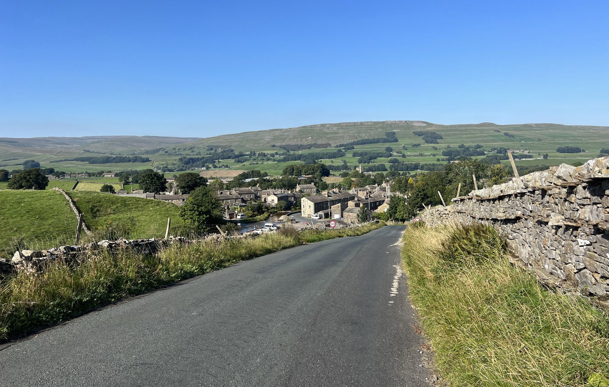
Yorkshire Dales National Park – A Walk in the Parks
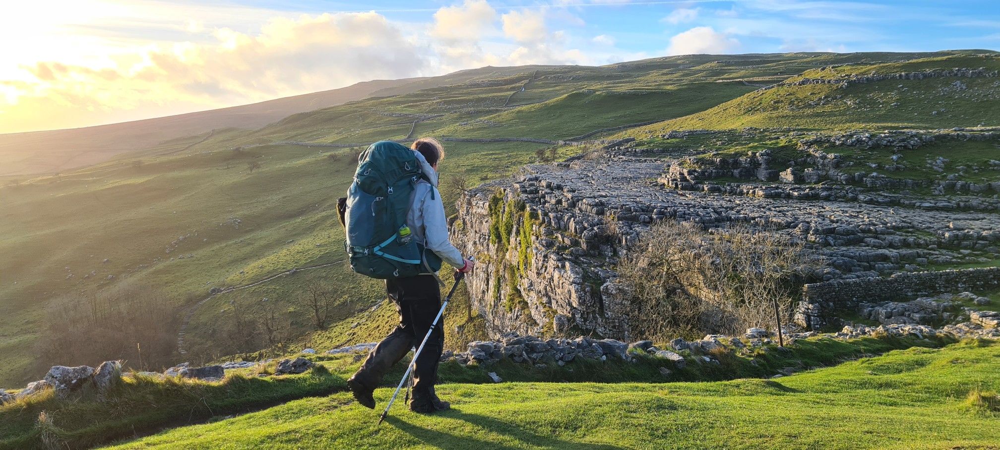
A Dales High Way – Hiking in winter
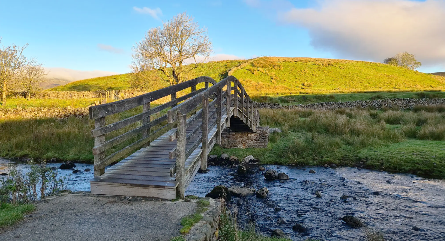
Ribble Way — A remarkable river ramble into the heart of the Dales
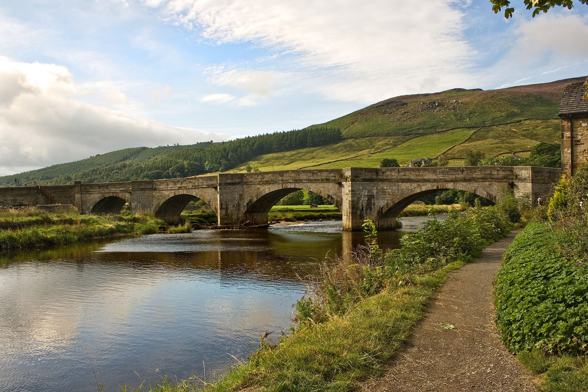
Hiking Lady Anne's Way — A marriage of exquisite scenery and ancient history
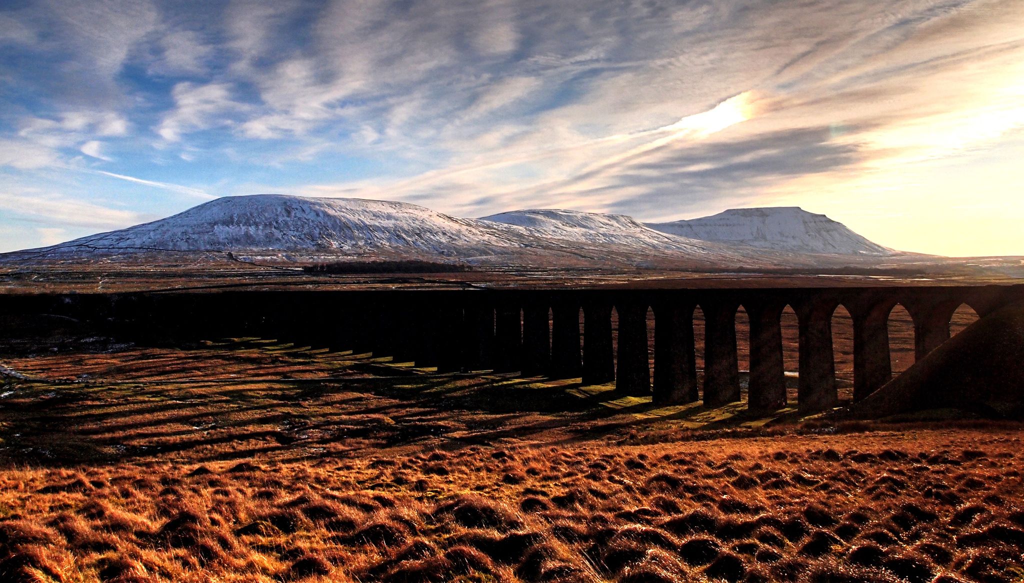
A Dales High Way – Yorkshire's beautiful backbone
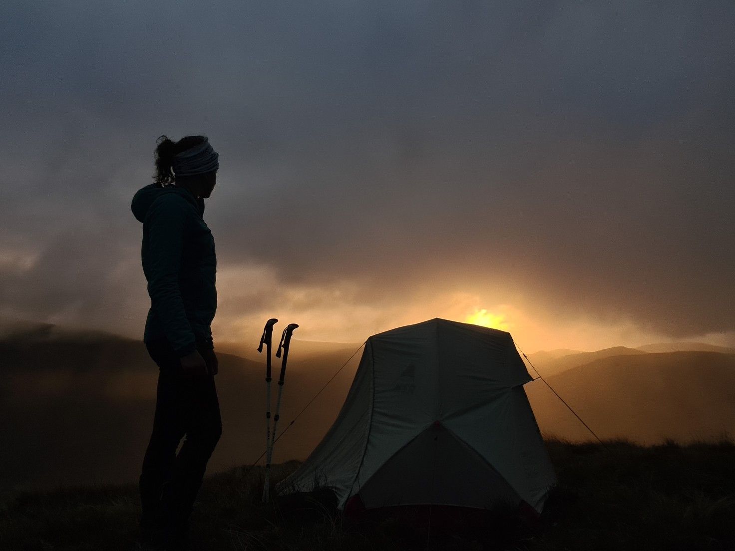
#WalkHome2020 — Sheffield to Cockermouth in 15 days
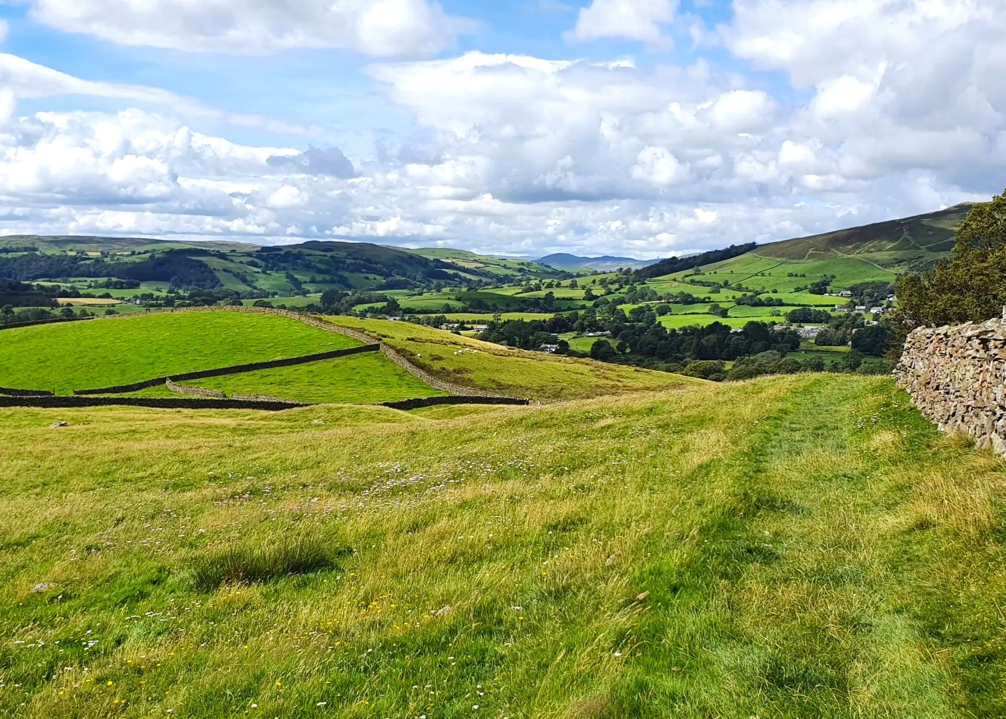
Dales Way — Quintessential English countryside at its best
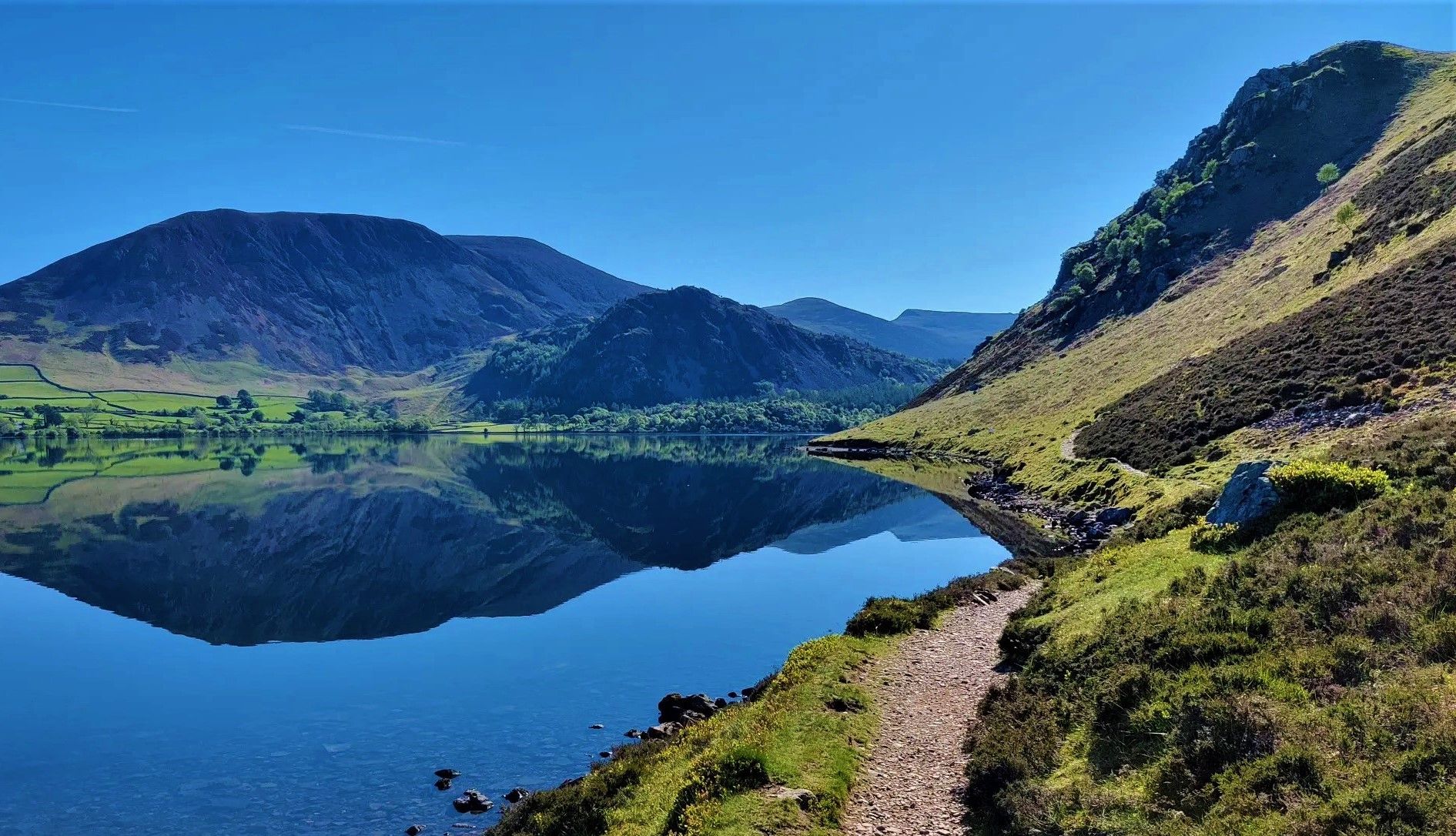
Wainwright's Coast to Coast — Hike the width of England in 13 stages
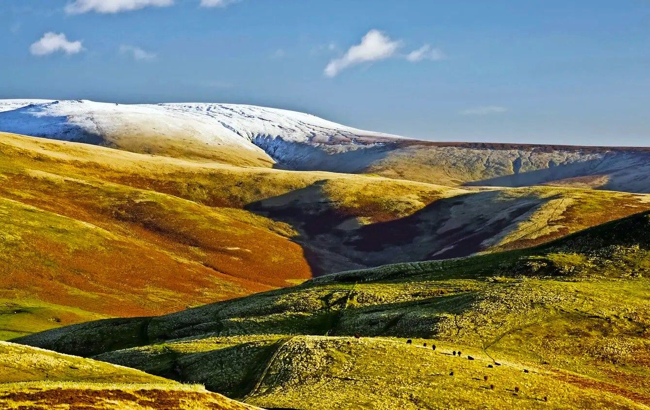
Pennine Way – Take on England's ultimate long-distance hike
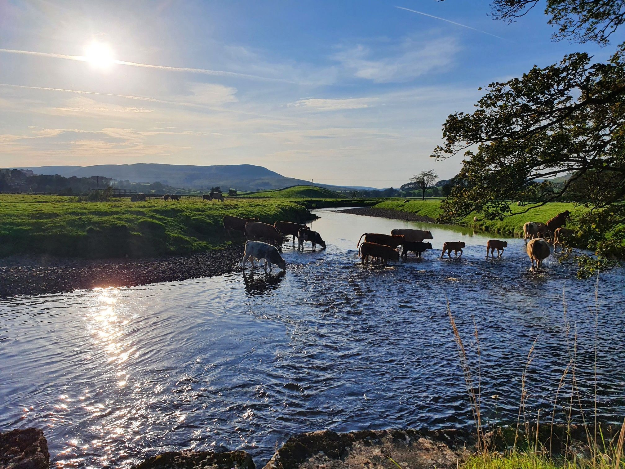
Hike alongside all creatures great and small – Herriot Way
Other adventures in Yorkshire Dales National Park


Tips from the Community

An incredible viaduct spanning the Yorkshire landscape. This man-made structure stands strong amongst nature.
0
0

Look closely at the pillars. Every 6th one is about 50% thicker than the others. This was an insurance policy; in theory the line would still hold if one of the other pillars collapsed.
0
0

Well you can’t miss it that’s for sure wish I had time to go over to it.. maybe next time
0
0

Hunt Pot is a striking vertical shaft of about 60 meters in depth located on the western slopes of Pen-y-Ghent. Grid reference: SD 82635 74040
0
0
Access: 🚗 c. 2miles from the village of Horton-in-Ribblesdale 🥾 Alternatively, enjoy a 9 miles hike with just 2,000ft of total elevation from Horton-in-Ribblesdale, via Pen-y-Ghent
0
0

Where the scene in Harry Potter was filmed where Harry and Hermione sat in the Deathly Hallows. Harry & Hermione set up camp in a tent on the Limestone Pavement at the top of Malham Cove, scenes from the film feature views across Malhamdale including the view to Cawden and down to Malham Village and Kirkby Malham. There is amazing views from this point over the scarred landscape. Malham Cove is a 70m (230ft) high curved crag of carboniferous limestone formed after the last ice age. Meltwater, particularly from Malham Tarn, cut back the cove as it fell over the edge as a waterfall. This erosion took place more actively at the lip of the fall, hence the curved shape. The cove was formed by glaciers that plucked rock from the cliff face and carried it away, and by meltwater that eroded the cliff face after the glaciers melted. The top of the cove is a limestone pavement with a distinctive pattern of limestone blocks called clints and fissures called grykes. The grykes have a more humid and warmer microclimate than the pavement, which supports different plant life. The top of the limestone has dry, stony conditions that support plants like Rock Rose and Thyme. Malham Cove once had a waterfall that was larger than Niagara Falls. The last time water flowed over the waterfall was in the 19th century, until extreme rain in 2015. Malham Cove is a short walk from the village of Malham, and is popular with rock climbers. Malham Cove has been featured in several films and TV shows, including Wuthering Heights, the previously mentioned Harry Potter and the Deathly Hallows, and The Trip.
1
0

Malham Cove is a large curved limestone formation a short walk from the village of Malham. It was formed by a waterfall carrying meltwater from glaciers at the end of the last Ice Age. Easy access to the cove from Malham and there are steps to the side of the cove which allow you to climb to the top. Careful very slippery at the top when on the limestone pavement in wet conditions.
1
0

More Information
FAQs about hikes in Yorkshire Dales National Park
- What is the Yorkshire Three Peaks Challenge?
The Yorkshire Three Peaks Challenge involves summiting the three prominent peaks of Ingleborough, Pen-y-ghent, and Whernside, often completed as a strenuous 24-hour endeavor offering fantastic views. - What natural attractions are a must-see in the Yorkshire Dales?
Don't miss Malham Cove, a magnificent white limestone cliff, and Gordale Scar, a dramatic hidden limestone gorge featuring impressive waterfalls. - Which specific dales offer the best hiking experiences?
Swaledale is ideal for riverside walks and wildflowers, while Ribblesdale boasts glorious heights and includes the famous Ribblehead Viaduct. The Howgill Fells provide verdant hills reminiscent of the nearby Lakeland. - When is the best time of year to go hiking in the Yorkshire Dales?
Each season has its charm: spring for wildflowers, summer for long daylight hours, and autumn for vibrant woodland colours. While winter offers unique snowy landscapes, be prepared for more challenging conditions. - What range of hike difficulties can I expect in Yorkshire Dales National Park?
The park caters to all, from easy walks suitable for any fitness level to moderate hikes requiring good fitness, and difficult routes best for experienced hikers with very good fitness and sure-footedness. - Are there any historical or architectural sights along the trails?
Yes, you can discover impressive Victorian architecture, such as the Ribblehead Viaduct, and explore historical sites like the Neolithic fortress at Ingleborough's summit. - Can I find both short strolls and long-distance treks?
Absolutely, the Yorkshire Dales provide a wide array of options, from short, accessible walks perfect for quick outings to ambitious multi-day journeys like the Yorkshire Three Peaks Challenge. - What kind of terrain defines the hiking experience in the Yorkshire Dales?
The trails traverse a diverse landscape of iconic hills, tumbling waterfalls, distinctive limestone geology, charming walled fields, barns, and expansive meadows.
Exploring the character of the Dales
There is so much to experience on your walks in theYorkshire Dales. In spring, discover the bright wildflowers and riverside walks of Swaledale or head for the 30,000 acres (12,141 ha) of delightful countryside on the Bolton Abbey estate in Wharfedale. In the west, where the boundaries of the Dales and the Lakes meet, are the Howgill Fells. On a clear day, these rounded hills offer staggering views across the entire Lake District skyline and the vast sprawl of Yorkshire’s highest hills.
Meanwhile, Ribblesdale hosts the most spectacular section of the famous Carlisle to Settle railway line. You can add its most iconic moment, the scenic beauty of Ribblehead Viaduct’s 24 Victorian stone arches, to your itinerary. There are few sights in the British countryside more evocative.
Feeling peaky in Ribblesdale
Ribblesdale is also home to the Yorkshire Three Peaks: Ingleborough, Pen-y-ghent and county high point Whernside at 2,415 feet (736 m). For some of the most adventurous hikes in the Yorkshire Dales, this is the place to be.
Whale-backed Whernside may be the highest, but Ingleborough and Pen-y-ghent are the most adored by hikers. Ingleborough’s alternating layers of limestone, sandstone and shale create a distinctive wedge-shaped profile, whilst its summit was once the site of a Neolithic fortress. Not to be outdone, Pen-y-ghent takes on the visage of a giant, crouching lion surveying its kingdom.
The famous challenge of summiting all three peaks in 24 hours is deservedly popular. Part of the key to success is route planning, as there is no set way to complete the round. However you decided to tackle them, they are richly rewarding hikes with fantastic views.
The limestone splendour of Malhamdale
Some of the best hiking trails in the Yorkshire Dales explore the many delights to be found around the village of Malham. Chief among them is Malham Cove, a gently curving 230-foot (70 m) white limestone cliff that is popular all year round. The limestone pavement that tops the cove is also a great place to explore.
Gordale Scar, a sensational hidden limestone gorge carved out by torrents of ancient glacial meltwater, is a magical place. As it narrows and steepens dramatically, two waterfalls crash down. If you’re feeling adventurous, you can even ascend out of the gorge via a rock scramble by the cascading falls.
Frequently Asked Questions
Are there any family-friendly or easy walks in the Yorkshire Dales?
Yes, the Dales offer many gentle walks perfect for families and beginners. The area around Bolton Abbey provides beautiful riverside and woodland paths suitable for all ages. Many villages like Grassington and Kettlewell are starting points for shorter, less strenuous strolls through picturesque valleys.
Where can I find the best waterfall hikes?
The Yorkshire Dales are famous for waterfalls. Aysgarth Falls is a popular spot with a series of cascades on the River Ure. For a more dramatic sight, Hardraw Force is England's highest single-drop waterfall. The Ingleton Waterfalls Trail is a highly-regarded circular route that takes in a series of stunning waterfalls, though it requires an entry fee.
Can I bring my dog on hikes in the Yorkshire Dales?
Dogs are welcome on most public rights of way, but it's essential to keep them under control. The Dales are a working landscape with livestock, so always keep your dog on a lead, especially near sheep. Also be aware of ground-nesting birds between March and July. Some specific areas, like the Ingleton Waterfalls Trail, have their own rules, so check ahead.
What should I wear for hiking in the Dales?
The weather in the Yorkshire Dales can change very quickly. It's essential to wear sturdy, waterproof hiking boots with good grip. Layering is key, so wear a moisture-wicking base layer, a fleece or mid-layer, and carry a waterproof and windproof jacket. Even on a sunny day, it's wise to pack a hat, gloves, and extra layers.
When is the best time of year to hike in the Yorkshire Dales?
You can hike in the Dales year-round, but late spring to early autumn (May to September) offers the best conditions with longer daylight hours and generally warmer weather. Spring brings wildflowers and flowing waterfalls, while late summer and autumn showcase the purple heather on the moorlands. Winter hiking can be beautiful but requires experience and proper gear due to potentially icy and snowy conditions.
I'm looking for a challenging mountain hike. What do you recommend?
For a demanding but rewarding day, consider the Low Force, Whernside & Ribblehead Viaduct loop. This route takes you to the summit of Whernside, the highest of the Yorkshire Three Peaks, and offers incredible views of the iconic Ribblehead Viaduct and the surrounding landscape.
Where can I see the famous limestone landscapes?
Malhamdale is the prime location for experiencing the Dales' unique limestone geology. The area features the magnificent amphitheater of Malham Cove with its limestone pavement on top, the deep gorge of Gordale Scar, and the serene Janet's Foss waterfall. These features are all accessible from the village of Malham.
How many hiking trails are in the Yorkshire Dales National Park?
There are over 1,900 hiking routes to explore in the Yorkshire Dales National Park on komoot. These range from 625 easy walks suitable for most abilities to over 280 difficult trails for experienced hikers, covering the region's diverse terrain of valleys, moorlands, and peaks.
What do other hikers enjoy most about the Yorkshire Dales?
The region is highly rated by the komoot community, with an average score of 4.6 stars. Hikers frequently praise the stunning and varied scenery, from the dramatic limestone formations like Malham Cove to the rolling green hills and valleys. The well-maintained network of paths and the classic charm of the drystone walls and field barns are also popular highlights.
Are there good circular walks available?
Yes, the Dales are perfect for circular walks. A great moderate option is the Hull Pot and Pen-y-ghent loop from Horton-in-Ribblesdale. This route not only takes you up a classic peak but also past Hull Pot, one of the largest natural holes in England.
Is it easy to get to the trails using public transport?
While some larger towns like Skipton and Settle have train stations, many of the more remote trailheads are best reached by car. However, the Settle-Carlisle Railway line runs through the heart of the Dales, with stations at Horton-in-Ribblesdale and Ribblehead providing excellent access to the Three Peaks area. Local bus services, like the DalesBus, also connect various villages, especially on weekends during the summer.
Are there pubs or cafes near the hiking trails?
Absolutely. A rewarding pub lunch is a classic part of the Dales hiking experience. Most villages, such as Malham, Grassington, Reeth, and Horton-in-Ribblesdale, have traditional pubs and charming cafes that are popular with walkers for a post-hike meal or drink.
Most popular routes in Yorkshire Dales National Park
Most popular attractions in Yorkshire Dales National Park

Get inspired with the komoot mobile app


Explore more
Browse the best Hikes in other regions.
