The best walks and hikes around Mont Athos
4.4
(172)
768
hikers
46
hikes
Hiking around Mont Athos offers a unique experience across a peninsula characterized by rugged topography, dense forests, and coastal views. The terrain rises dramatically from the Aegean Sea, culminating in Mount Athos at 2,033 meters (6,660 feet). An extensive network of ancient "kalderimia" (cobblestone paths) and dirt trails connects various monasteries and sketes. This landscape features diverse ecosystems, from Mediterranean flora at lower elevations to alpine zones near the summit.
Best hiking trails around Mont Athos
- The most popular hiking route is The Cross Viewpoint – Mount Athos Summit loop from Skiti Agia Anna, a 8.7 miles (14.0 km) trail that takes 8 hours 47 minutes to complete. This difficult route ascends to the summit, offering extensive views.
- Another top favourite among local hikers is Akra Rousiko – Xenophontos Monastery loop from Agiou Panteleimonos monastery, a moderate 4.8 miles (7.8 km) path. This trail connects historic monasteries along the peninsula's western side.
- Local hikers also love the View of Sithonia – View of the Monastery loop from Monastery of Zygos, a 2.7 miles (4.3 km) trail leading through varied landscapes near the border, often completed in about 1 hour 21 minutes.
- Hiking around Mont Athos is defined by rugged terrain, dense forests, and ancient cobblestone paths, offering options for different ability levels.
- The routes in Mont Athos are highly rated by the komoot community with an average score of 4.5 stars from more than 150 reviews. More than 600 hikers have used komoot to explore Mont Athos's varied terrain.
Last updated: June 28, 2026
4.8
(9)
64
hikers
14.0km
08:48
1,680m
1,680m
Hard hike. Very good fitness required. Mostly accessible paths. Sure-footedness required.
5.0
(5)
19
hikers
Moderate hike. Good fitness required. Easily-accessible paths. Suitable for all skill levels.

Sign up for free
19
hikers
3.54km
02:24
470m
460m
Moderate hike. Good fitness required. Mostly accessible paths. Sure-footedness required.
4.5
(2)
6
hikers
4.33km
01:21
170m
170m
Easy hike. Great for any fitness level. Easily-accessible paths. Suitable for all skill levels.
4.3
(3)
19
hikers
5.21km
02:07
320m
320m
Moderate hike. Good fitness required. Mostly accessible paths. Sure-footedness required.
5.0
(1)
16
hikers
Moderate hike. Good fitness required. Mostly accessible paths. Sure-footedness required.
5.0
(2)
11
hikers
Easy hike. Great for any fitness level. Easily-accessible paths. Suitable for all skill levels.
10
hikers
Easy hike. Great for any fitness level. Easily-accessible paths. Suitable for all skill levels.
3.0
(1)
8
hikers
4.46km
01:16
100m
100m
Easy hike. Great for any fitness level. Easily-accessible paths. Suitable for all skill levels.
1
hikers
5.14km
01:28
120m
120m
Easy hike. Great for any fitness level. Easily-accessible paths. Suitable for all skill levels.
Get access to more routes and recommendations from other explorers.
Sign up for free
Already have an account?
Our route recommendations are based on thousands of hikes, rides, and runs completed by other people on komoot.
Start today with a free account
Your next adventure awaits.
Login or Signup
Popular around Mont Athos
Tips from the Community

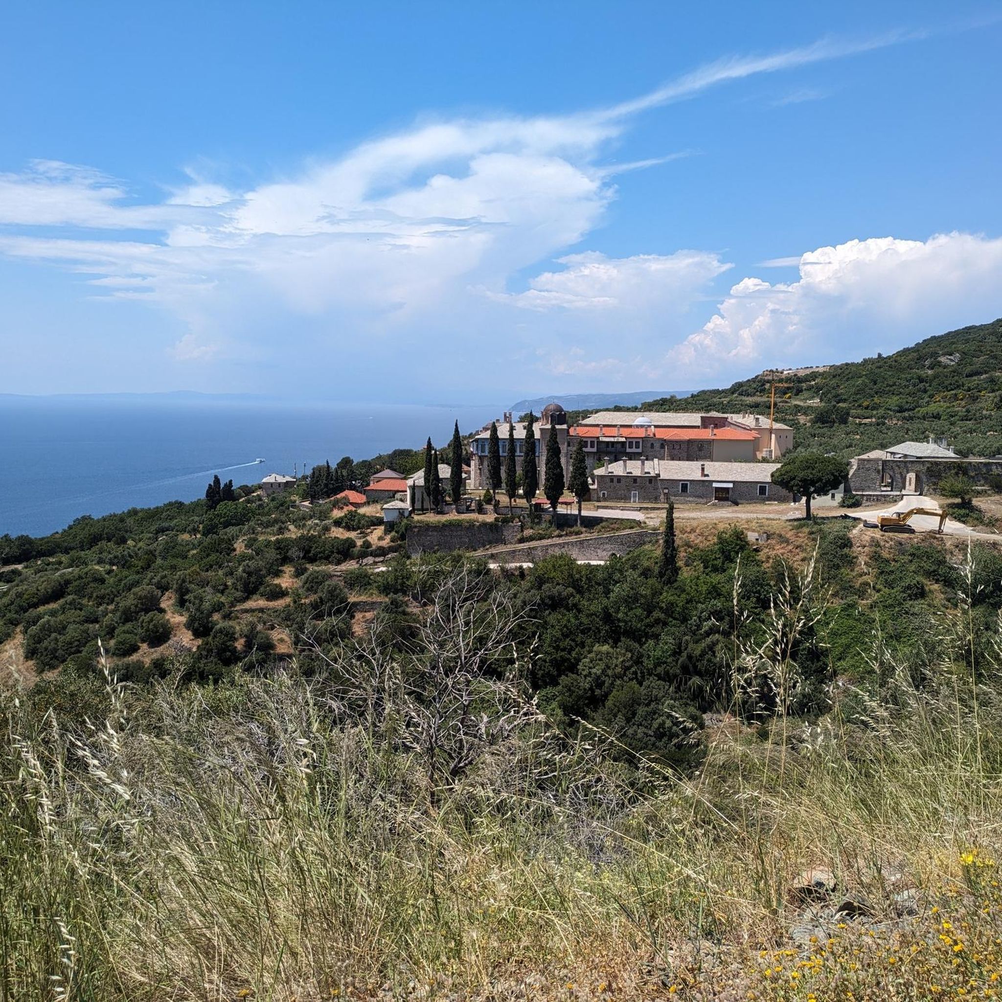
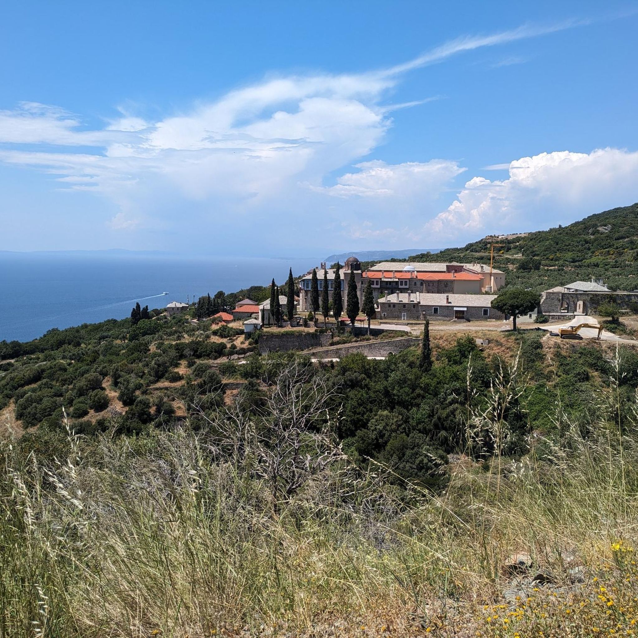
The Zygou Monastery has an entrance fee and closes at 3:30 p.m. I don't know whether the Frangokastello is open to visitors. It's currently under restoration or an excavation site.
0
0
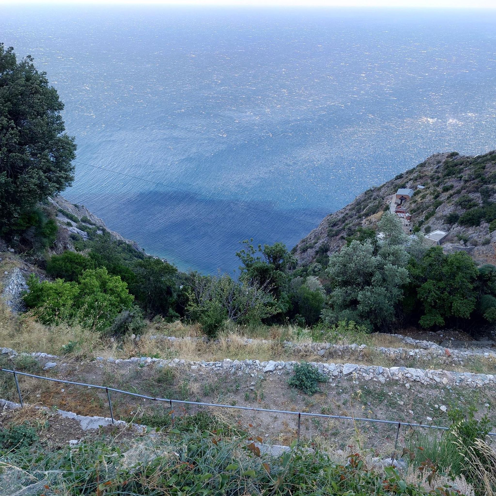
A small hidden path down to the stony beach.
0
0
A lovely picnic area with several tables and benches. The large trees provide lovely shade. The brick barbecue grills, however, have seen better days.
0
0

Unfortunately, an estimated 1km is currently (June 22, 2025) difficult to pass due to overgrown vegetation. It's nice that you can get right to the border, complete with a prohibition sign and gate.
0
0

This church is located 500 meters below the summit. If you don't feel comfortable climbing up and down in one day, you can stay here for a night. While sleeping outdoors is not allowed on the rest of the Athos peninsula, it is permitted on the summit. After all, you have to climb 2000 meters in altitude first.
1
0

The hiking trail from the Xenofontos Monastery to the Pantelemeinos Monastery is beautifully situated - partly close to the sea, partly slightly elevated with a great panoramic view
1
0
From the Dochiariou Monastery, a beautiful hiking trail leads along the sea to the Xenofontos Monastery
0
0
A scenic hiking trail connects the monasteries of Simonos Petras and Grigoriou and is worth a visit. Sure-footedness, sturdy shoes and good fitness are required.
2
0
Frequently Asked Questions
What are the general hiking conditions and terrain like in Mont Athos?
Hiking in Mont Athos involves a diverse and rugged landscape. The terrain rises dramatically from the Aegean Sea, with Mount Athos itself reaching 2,033 meters (6,660 feet). You'll find deeply creased slopes, dense forests, and ancient 'kalderimia' (cobblestone paths) connecting monasteries. Ecosystems vary from Mediterranean flora at lower elevations to oak, chestnut, and beech woodlands, and even an alpine zone near the summit. Many trails offer breathtaking coastal views and pass through 'virgin forests' of chestnut.
Are there any special requirements or restrictions for hiking in Mont Athos?
Yes, access to Mount Athos is highly restricted. It is a self-governed monastic state, and only male visitors are permitted. You must obtain a special permit in advance, and daily visitor quotas are in place. This unique status helps preserve its pristine environment and spiritual atmosphere. For more information on access and permits, you can visit visitmountathos.eu.
When is the best time of year to go hiking in Mont Athos?
The best time to hike in Mont Athos generally depends on your preferred conditions. Spring and autumn offer milder temperatures, making them ideal for longer treks and summit attempts. During these seasons, the diverse flora is vibrant, and the weather is typically more stable. Summers can be hot, especially at lower elevations, while winters can bring snow to higher parts of the mountain, making some trails challenging or inaccessible.
What kind of natural features or landmarks can I expect to see along the trails?
Mont Athos offers a wealth of natural beauty and historical landmarks. You can expect to see diverse ecosystems, from Mediterranean flora to ancient chestnut forests. The rugged topography provides stunning coastal views and dramatic cliffs. Along the trails, you'll encounter numerous springs providing fresh water. The peninsula is also home to twenty historic monasteries, some dramatically cut into cliffs, which are significant architectural and spiritual landmarks. The Mount Athos Summit itself is a major highlight, offering unparalleled vistas.
How many hiking trails are available in Mont Athos?
There are over 40 hiking routes available in Mont Athos, catering to various skill levels. The komoot community has explored more than 600 tours in the region, highlighting its extensive network of ancient paths and trails.
Are there any easy hiking trails suitable for beginners in Mont Athos?
Yes, Mont Athos offers several easy hiking trails. For instance, the View of Sithonia – View of the Monastery loop from Monastery of Zygos is an easy 2.7-mile (4.3 km) trail that takes about 1 hour 21 minutes to complete. Another accessible option is the Dochiariou Monastery – Xenophontos Monastery loop from Xenophontos monastery, which is 1.7 miles (2.7 km) long.
What do other hikers enjoy most about hiking in Mont Athos?
The area is highly rated by the komoot community, with an average score of 4.5 stars from over 150 reviews. Hikers often praise the profound sense of serenity and history, the unique pilgrimage experience, and the stunning natural beauty, including diverse ecosystems and breathtaking coastal views. The extensive network of ancient trails connecting the monasteries is also a frequently mentioned highlight.
Are there any challenging multi-day treks in Mont Athos?
Yes, for experienced hikers, a challenging multi-day trek leads to the summit of Mount Athos. This strenuous climb offers incredible views that can extend to the entire peninsula, other Halkidiki peninsulas, and even Mount Olympus on clear days. There's a church at the top and a hiker shelter at the Panagia chapel (1500m altitude) for overnight stays. One example of a difficult route is The Cross Viewpoint – Mount Athos Summit loop from Skiti Agia Anna, which is 8.7 miles (14.0 km) long.
Can I find circular hiking routes in Mont Athos?
Yes, there are several circular routes available. For example, the Akra Rousiko – Xenophontos Monastery loop from Agiou Panteleimonos monastery is a moderate 4.8-mile (7.8 km) loop connecting historic monasteries. Another option is the Simonos Petra Monastery loop from Osiou Gregoriou monastery, a moderate 3.2-mile (5.2 km) trail.
Is it possible to hike between the monasteries?
Absolutely. Mont Athos is crisscrossed by an extensive network of ancient 'kalderimia' (cobblestone paths) and dirt trails that were historically used by monks and mules. These paths connect the various monasteries and sketes across the peninsula, offering a unique way to experience the spiritual and architectural heritage of the region. Many routes, like the Stavronikita Monastery – Pantokratoros Monastery loop from Stavronikita monastery, specifically link these historic sites.
Are there any family-friendly hiking options near Mont Athos?
Due to the strict access restrictions within the monastic state of Mont Athos (male visitors only, permits required), traditional 'family-friendly' hikes as commonly understood are not available directly within the Holy Mountain. However, areas bordering the monastic state, such as near Ouranoupoli, may offer more accessible walks suitable for families. Always check local regulations and access requirements for any specific trail.
Can I bring my dog on hikes in Mont Athos?
No, due to the unique status of Mont Athos as a self-governed monastic state with strict regulations, bringing pets, including dogs, is generally not permitted within the Holy Mountain. The monastic community maintains a pristine environment and specific rules regarding access and conduct.
Where can I park if I'm visiting Mont Athos?
Visitors to Mont Athos typically leave their vehicles in Ouranoupoli, the last town before the border of the monastic state. There are parking facilities available in Ouranoupoli, as private vehicles are not allowed into the Mount Athos territory. From Ouranoupoli, you would typically proceed by boat to Dafni Port, Mount Athos, or other points of entry after securing your permit.
Most popular attractions around Mont Athos

Get inspired with the komoot mobile app


Explore more
Browse the best Hikes in other regions.
