The best running trails in Parco Provinciale Dei Monti Livornesi
4.0
(92)
5,317
runners
334
runs
Jogging in Parco Provinciale Dei Monti Livornesi offers a diverse landscape characterized by ancient hills covered in Mediterranean maquis and extensive forests. The terrain provides a mix of loose and compact dirt, cobbles, paved sections, rocks, and roots, with occasional small river crossings. Runners can explore verdant "green lung" areas, historical elements like the Acquedotto Leopoldino, and coastal sections with sea views. The park spans approximately 1,300 hectares, offering a variety of running experiences across its municipalities.
Best jogging routes…
Last updated: May 27, 2026
24
runners
6.36km
00:43
170m
170m
Moderate run. Good fitness required. Mostly paved surfaces. Suitable for all skill levels.
9
runners
22.4km
02:33
520m
520m
Hard run. Very good fitness required. Mostly paved surfaces. Suitable for all skill levels.

Sign up for free
7
runners
10.3km
01:06
110m
110m
Moderate run. Good fitness required. Mostly paved surfaces. Suitable for all skill levels.
2.0
(1)
6
runners
9.07km
01:01
140m
140m
Moderate run. Good fitness required. Mostly paved surfaces. Suitable for all skill levels.
4
runners
10.2km
01:25
400m
400m
Hard run. Very good fitness required. Sure-footedness, sturdy shoes and alpine experience required.
Get access to more routes and recommendations from other explorers.
Sign up for free
Already have an account?
Our route recommendations are based on thousands of hikes, rides, and runs completed by other people on komoot.
Start today with a free account
Your next adventure awaits.
Login or Signup
Popular around Parco Provinciale Dei Monti Livornesi

Tips from the Community

Little-traveled road to reach the Livorno hills.
0
0

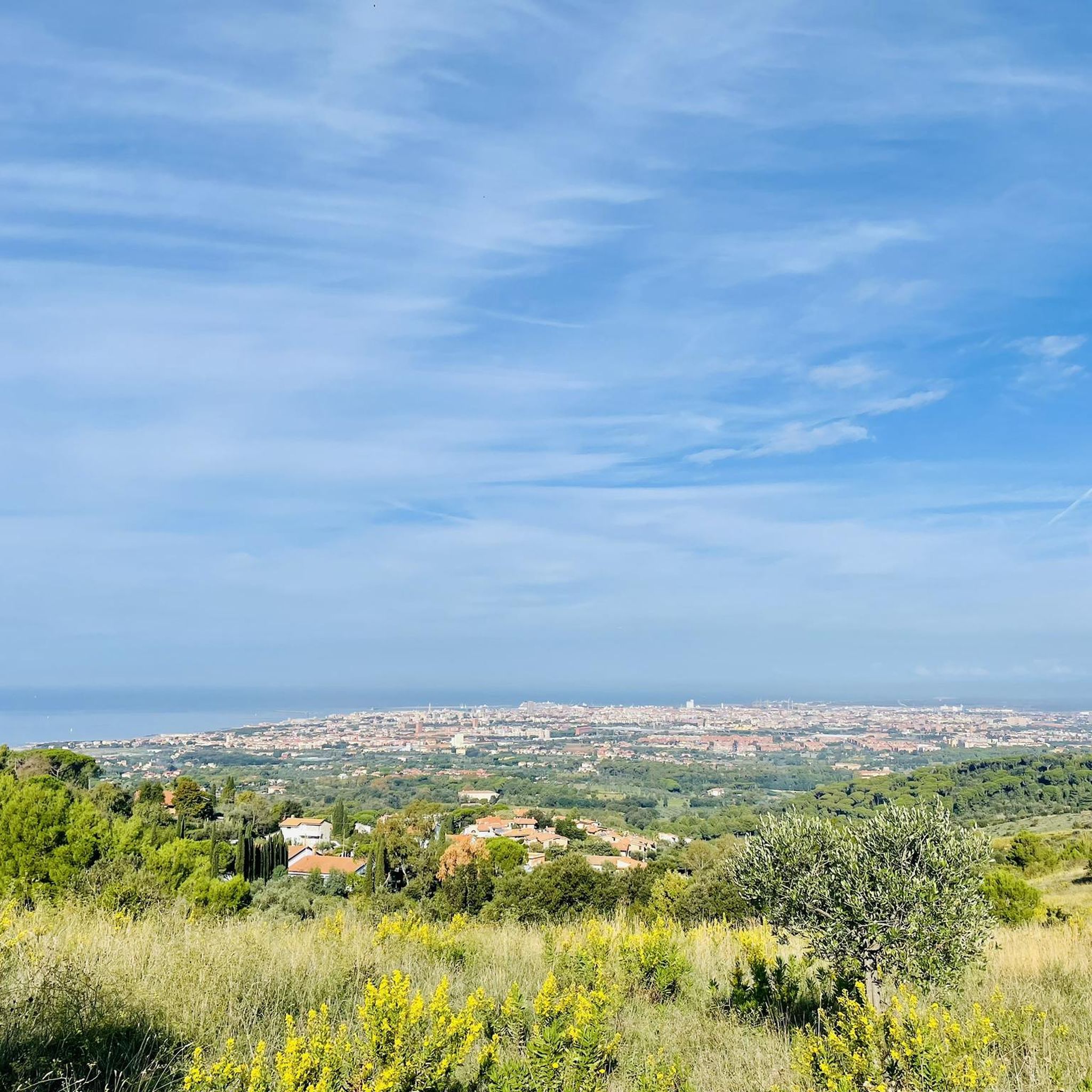
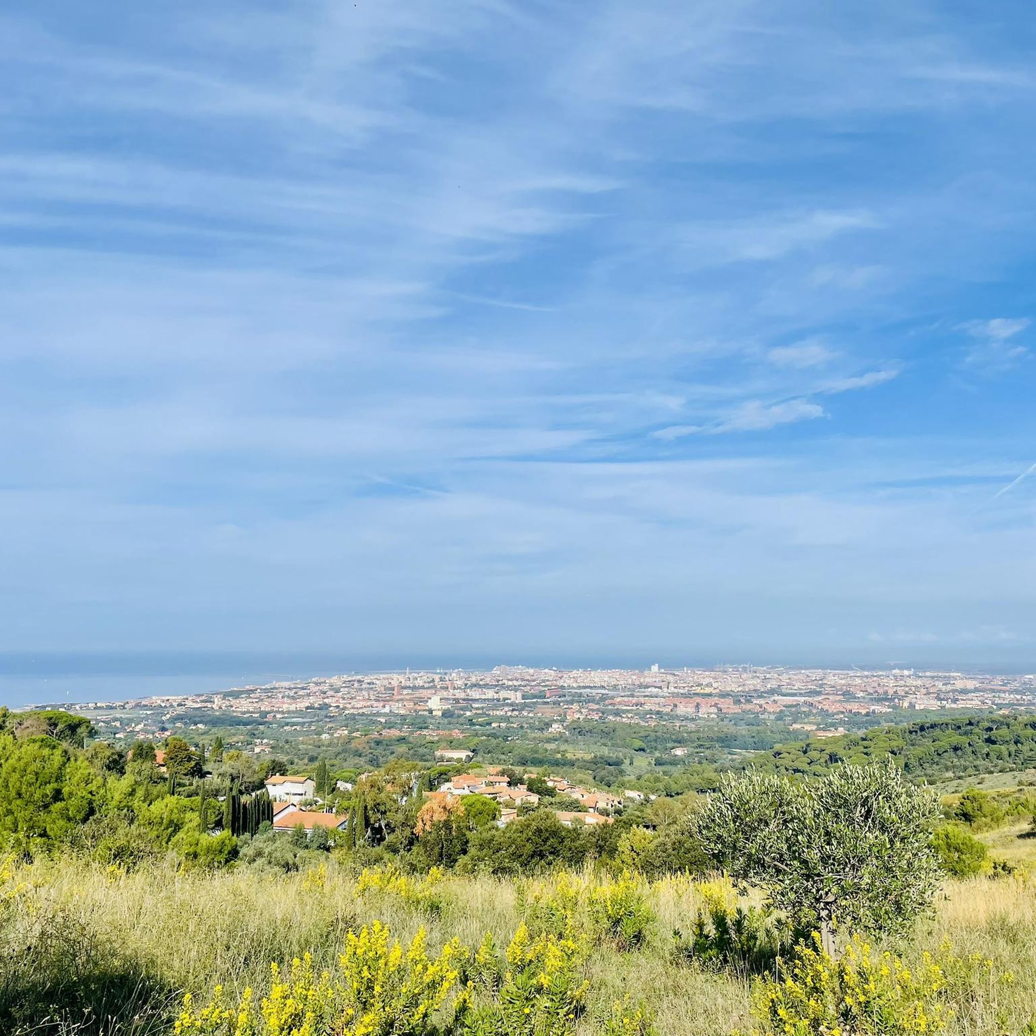
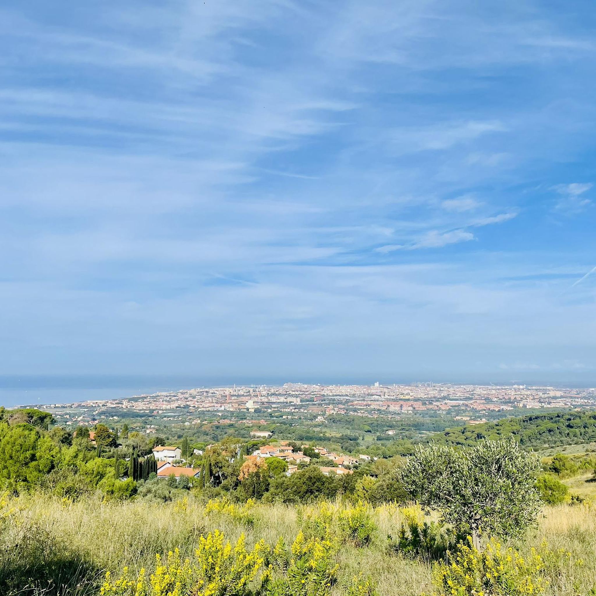
Near the Sanctuary square there are benches where you can stop and enjoy a beautiful view from Livorno
0
0

Montenero Alto is definitely worth a visit, perhaps using (with a normal city bus ticket) the nice funicular that leaves from Piazza delle Carrozze, in Montenero Basso. The Sanctuary dedicated to the Madonna di Montenero, protector of Livorno and Patron Saint of Tuscany, is very interesting; the Church, in rich Baroque style, also houses an impressive collection of humble and rich ex-votos, the result of intense popular devotion over the centuries. In the Famedio, the portico in front of the entrance to the Sanctuary, there are cenotaphs and tombs of people who distinguished themselves in the world of culture, politics, art... who were born or lived in Livorno. Furthermore, from the Sanctuary square and its surroundings you can admire magnificent views from above not only of the city, but - proceeding from southwest to northeast - also of the sea and the islands of the Tuscan Archipelago (and on clear days even of Corsica), of the coast up to Liguria, of the Apuan Alps and of the western Apennines. Finally, going up via della Porcigliana to Castellaccio, you can reach the top of the Montenero hill (over 300 m above sea level) and from here enjoy a wide, splendid panorama.
0
0

Poggio Lecceta, 457 meters above sea level, is the highest peak of the Livorno Hills and is divided between the municipalities of Livorno and Collesalvetti. The summit is occupied by a radar station, whose radome can be seen from a great distance. On the slopes of the hill is the Livorno hamlet of Valle Benedetta (364 m), known for being the site of numerous excursions by the C.A.I. of Livorno. Among the numerous streams that have their sources in Poggio Lecceta are the Rio Maggiore and the Torrente Ugione, which are among the longest that descend from the Livorno Hills. (from Wikipedia) Access to the Radar area is via a short, but very steep climb along Via del Radar; However, since it is a military structure that has the purpose of providing meteorological information, as well as ensuring air traffic control and surveillance of maritime navigation, access to the structure is prohibited to unauthorized persons.
3
0

Villa Cristina is a scout house. In the summer of 2023 I was also lucky enough to go camping with the Salesians
1
0
Nice dirt road at times with large stones but nothing complicated, all pedalable.
1
0
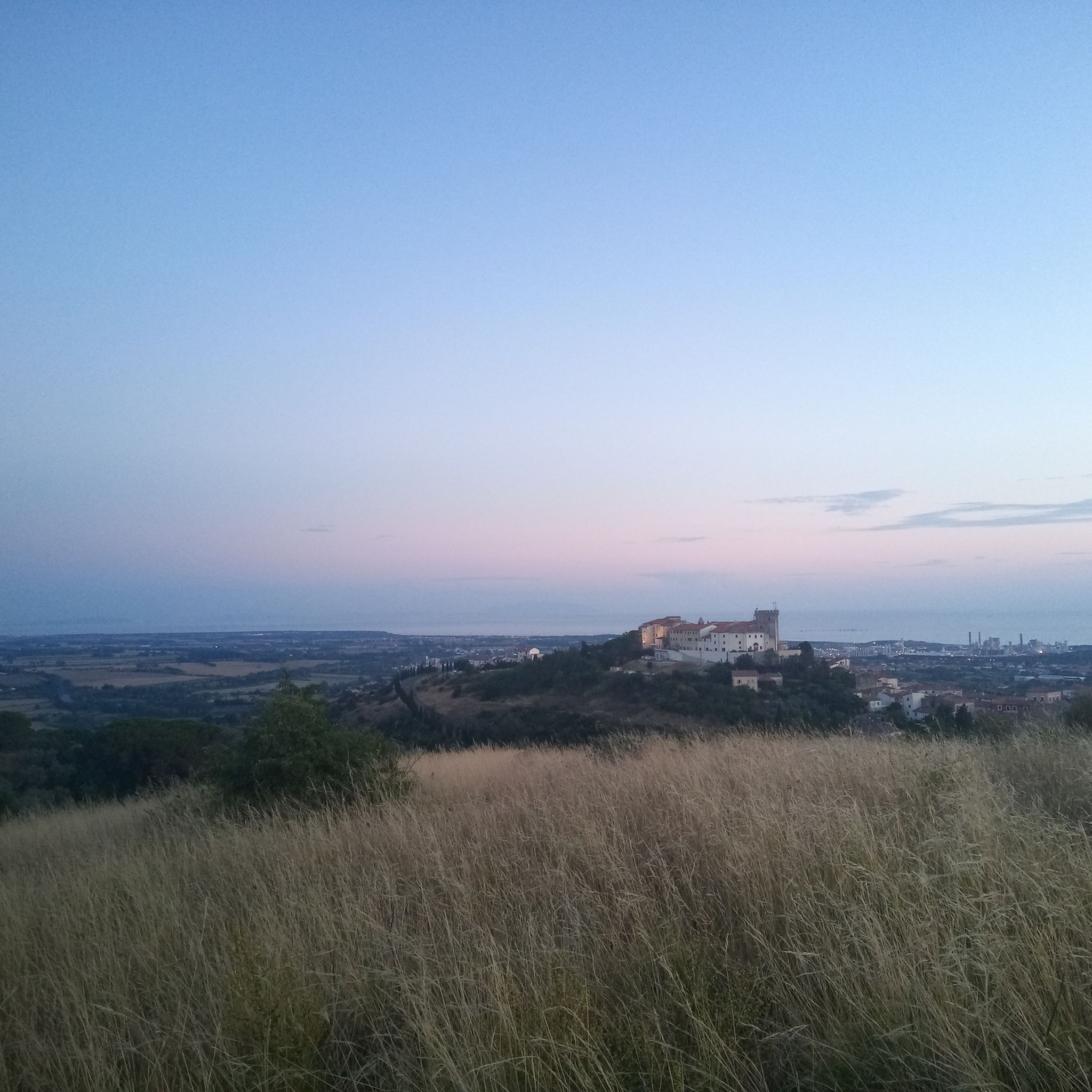
Valle Benedetta is a fraction of the municipality of Livorno, located in the middle of the Livorno hills and, more precisely, on the slopes of Poggio Lecceta; it is about 9 kilometers from the city center. Near this small settlement there is a weather station and an astronomical observatory.
2
0
Frequently Asked Questions
What kind of terrain can I expect on the running routes in Parco Provinciale Dei Monti Livornesi?
The park offers a highly varied terrain, perfect for an engaging running experience. You'll encounter a mix of loose and compact dirt, cobbles, paved sections, rocks, and roots. Some routes also feature small river crossings. This diversity ensures that every run is dynamic and interesting.
Are there many running routes suitable for beginners or those looking for an easier run?
Yes, Parco Provinciale Dei Monti Livornesi has a good selection of routes for all abilities. Out of over 300 running trails, approximately 38 are classified as easy, typically up to 3 miles with minimal elevation gain, often on paved surfaces. These are ideal for a relaxed jog.
Can I find challenging running trails with significant elevation gain in the park?
Absolutely. For experienced runners seeking a challenge, the park offers numerous difficult routes, with 86 trails classified as such. These can exceed 10 miles or 1,000 feet of elevation gain, requiring good fitness and sure-footedness. An example is the Villa Cristina – Picnic Area at Trail Junction loop from Acquedotto Leopoldino, which features challenging climbs.
Are there any circular running routes in Parco Provinciale Dei Monti Livornesi?
Many of the park's routes are designed as loops, offering convenient circular runs. For instance, the popular Terme del Corallo – Mushroom picker loop from Acquedotto Leopoldino is an 8.8-mile circular trail, and the longer Picnic Area at Trail Junction – Valle Bendetta loop from Acquedotto Leopoldino is a 14.9-mile option.
What historical or natural attractions can I see along the running trails?
The park is rich in points of interest. You can discover the historic 18th-century Acquedotto Leopoldino integrated into some trails, or the picturesque Eremo della Sambuca. The area also features remnants of ancient civilizations, including old mills and archaeological sites, adding a historical dimension to your run. Don't miss the stunning View of Livorno from Montenero.
Is Parco Provinciale Dei Monti Livornesi suitable for family-friendly jogging or walks?
Yes, the park offers routes suitable for families. The diverse network includes easier trails with minimal elevation, often on paved surfaces, which are great for a family outing. Look for routes classified as 'easy' on komoot for the most family-friendly options.
What is the best time of year to go running in Parco Provinciale Dei Monti Livornesi?
The park is enjoyable year-round, but spring and autumn offer the most pleasant conditions with mild temperatures and vibrant natural scenery. Summer can be warm, so early morning or late afternoon runs are recommended. Winter runs are also possible, with the Mediterranean climate generally providing milder conditions than more northern regions.
Are dogs allowed on the running trails in Parco Provinciale Dei Monti Livornesi?
Generally, dogs are welcome on trails in Parco Provinciale Dei Monti Livornesi, but it's always recommended to keep them on a leash, especially in areas with wildlife or near other visitors. Please ensure you follow local regulations and clean up after your pet.
How accessible is the park by public transport for runners?
The park is accessible from the edge of the city of Livorno, which has public transport connections. Specific bus routes can take you to trailheads, particularly in areas like Valle Benedetta and Montenero. For detailed information on bus routes to specific trailheads, it's best to consult local Livorno public transport schedules.
Where can I find parking when visiting Parco Provinciale Dei Monti Livornesi for a run?
Parking is available at various access points around the park, particularly near popular trailheads and villages bordering the park, such as those close to the Acquedotto Leopoldino or Valle Benedetta. Look for designated parking areas at the start of many routes.
What is the highest point in the park and are there running routes that reach it?
The highest point in Parco Provinciale Dei Monti Livornesi is Poggio Lecceta on Monte Maggiore, reaching 463 meters. While not all running routes directly summit it, many trails offer impressive vistas and challenging climbs in its vicinity, providing rewarding views of the surrounding landscape and coast.
Are there any cafes or amenities near the running routes in the park?
While the park itself is a natural area, you can find cafes and amenities in the nearby municipalities of Livorno, Collesalvetti, and Rosignano Marittimo. Areas like Valle Benedetta, which is a common starting point for many routes, may also offer some basic services.
Most popular routes in Parco Provinciale Dei Monti Livornesi
Most popular attractions in Parco Provinciale Dei Monti Livornesi

Get inspired with the komoot mobile app


Explore more
Browse the best Running Trails & Routes in other regions.
