The best walks and hikes in Parco Provinciale Dei Monti Livornesi
4.3
(1275)
6,123
hikers
17
hikes
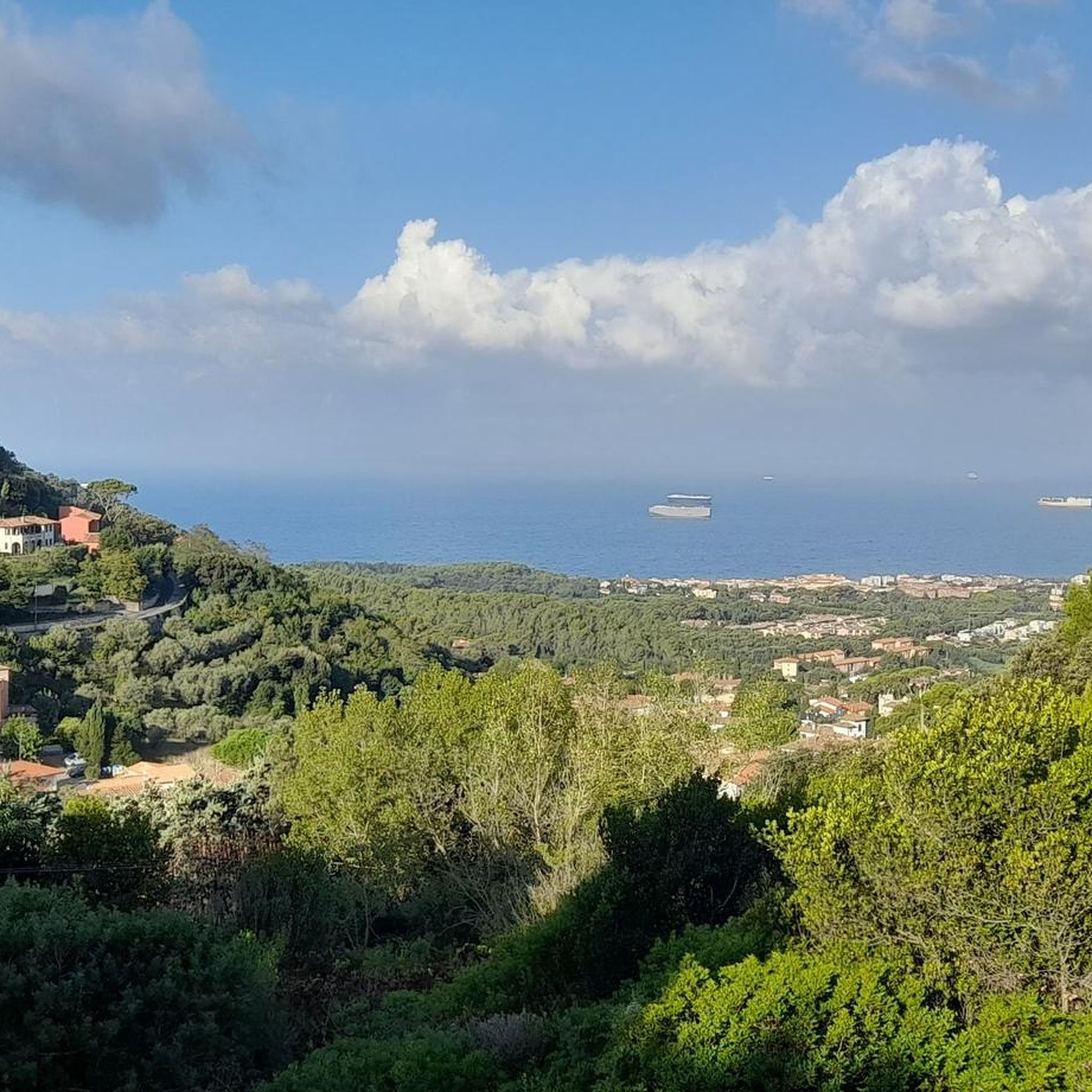
Hiking in Parco Provinciale Dei Monti Livornesi offers varied terrain across approximately 1,300 hectares, characterized by ancient hills formed millions of years ago. The landscape features Mediterranean maquis, green rocks, and clear watercourses. Expansive forests, particularly in Valle Benedetta and Montenero, contribute to the natural scenery, alongside a coastal section providing routes with sea views.
Best hiking trails in Parco Provinciale Dei Monti Livornesi
- The most popular hiking route is Infernaccio Small Waterfall – Fornaci del Corbolone loop from Acquedotto Leopoldino, a moderate 7.6 miles (12.3 km) path that takes 3 hours 26 minutes to complete. This route explores areas around a small waterfall and the historic Colognole Aqueduct.
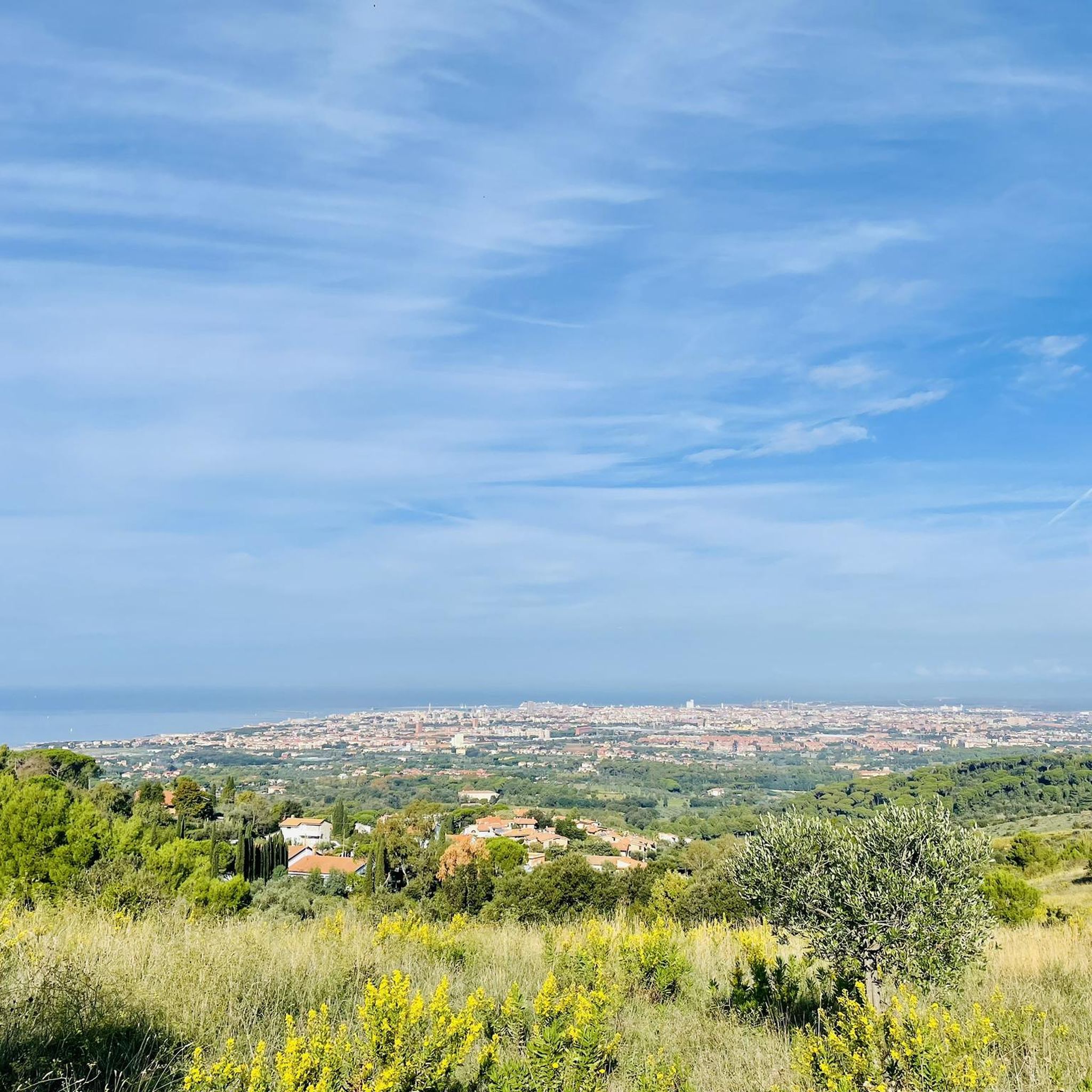
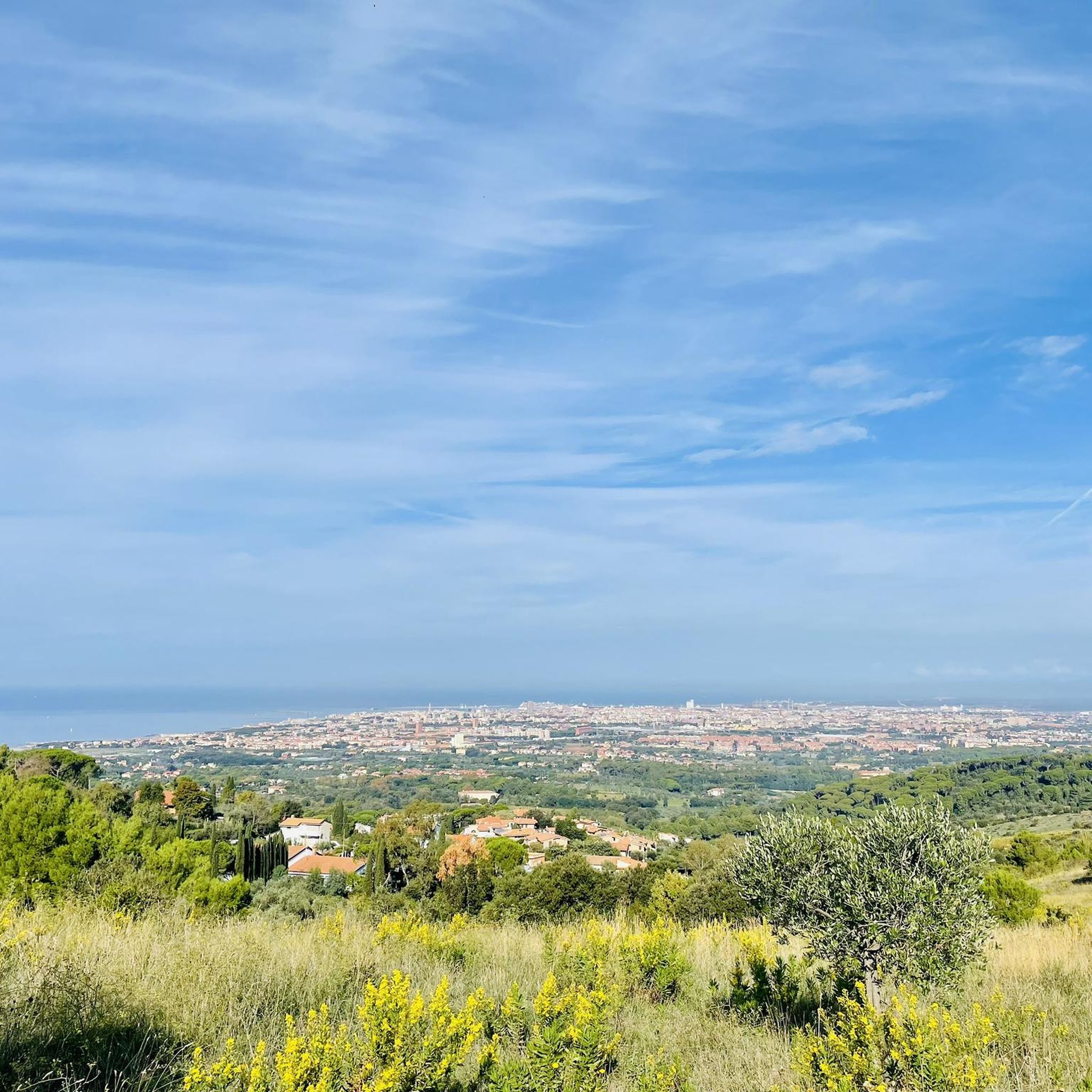
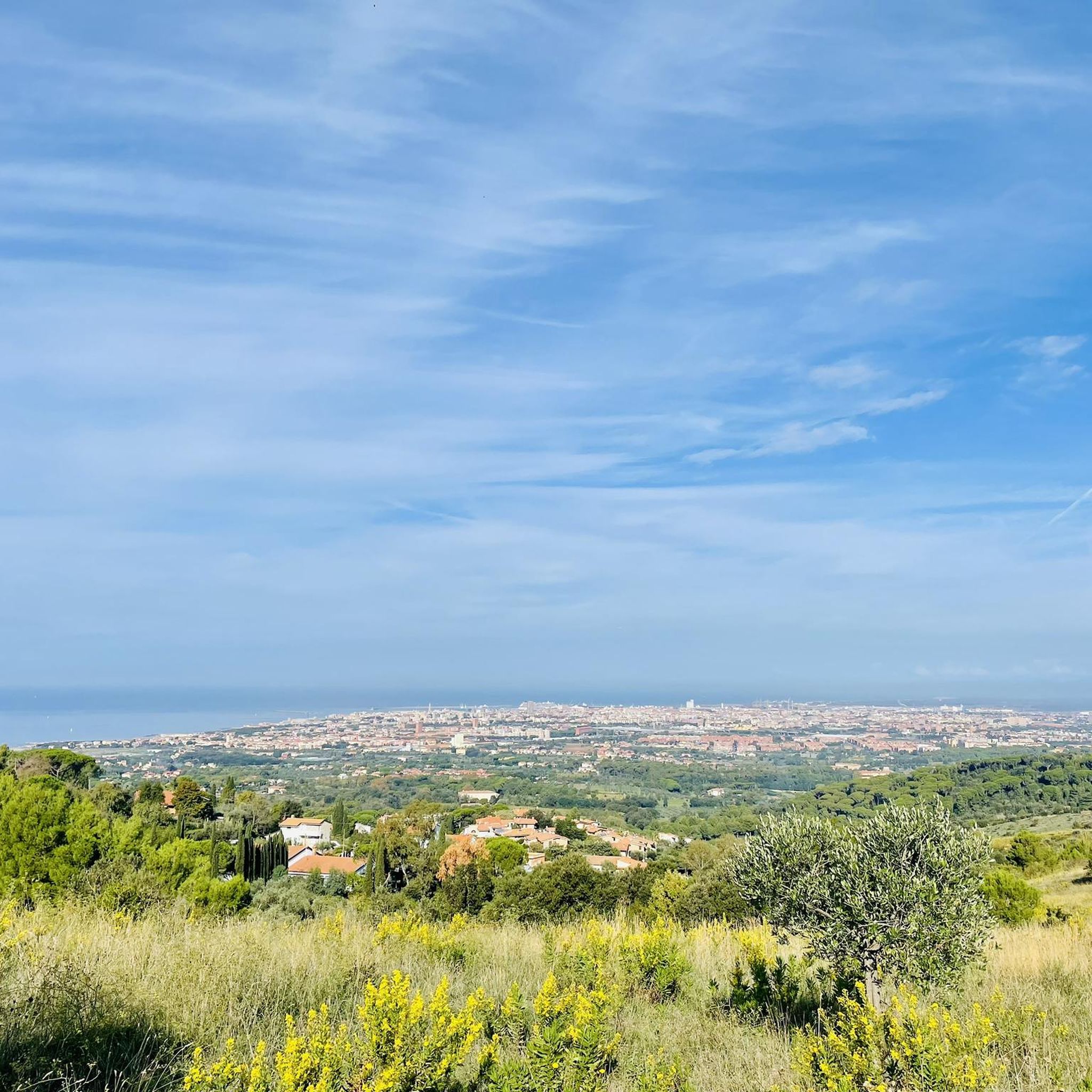
- Another top favourite among local hikers is Pian della Rena – View of Pisa and the Sea loop from Castellaccio, an easy 3.5 miles (5.7 km) path. This route leads through ancient hills and offers coastal views.
- Local hikers also love the Pian della Rena – Gabbro Outcrop loop from Castellaccio, a 5.9 miles (9.5 km) trail leading through Mediterranean scrubland, often completed in about 2 hours 39 minutes.
- Hiking in Parco Provinciale Dei Monti Livornesi is defined by ancient hills, Mediterranean maquis, and coastal paths. The network offers options for different ability levels, from easy walks to more challenging routes.
- The routes in Parco Provinciale Dei Monti Livornesi are highly rated by the komoot community with an average score of 4.4 stars from over 700 reviews. More than 4000 hikers have used komoot to explore Parco Provinciale Dei Monti Livornesi's varied terrain.
Last updated: July 8, 2026
23.3km
06:24
350m
390m
Hard hike. Very good fitness required. Easily-accessible paths. Suitable for all skill levels.
5.0
(3)
7
hikers
5.68km
01:39
160m
160m
Easy hike. Great for any fitness level. Easily-accessible paths. Suitable for all skill levels.

Sign up for free
5.0
(1)
5
hikers
Easy hike. Great for any fitness level. Easily-accessible paths. Suitable for all skill levels.
15
hikers
9.51km
02:40
190m
190m
Moderate hike. Good fitness required. Easily-accessible paths. Suitable for all skill levels.
4.0
(2)
11
hikers
6.31km
01:49
150m
150m
Easy hike. Great for any fitness level. Easily-accessible paths. Suitable for all skill levels.
Get access to more routes and recommendations from other explorers.
Sign up for free
Already have an account?
Our route recommendations are based on thousands of hikes, rides, and runs completed by other people on komoot.
Start today with a free account
Your next adventure awaits.
Login or Signup
Popular around Parco Provinciale Dei Monti Livornesi

Tips from the Community

To reach the summit of Colle di Montenero, from the Via della Porcigliana pass, take a dirt road on the right and follow it for about 500 meters. At a fork, take another right onto a 200-meter uphill path that leads directly to the summit shrine, next to some radio antennas. On the way back, you can retrace the same path for 100 meters, then turn left, cutting across the astronomical observation field of the A.L.S.A. (a Livorno association of well-known amateur astronomers, https://www.alsaweb.it/), and then descend along the large rectangle occupied by the Livorno Coastal Radio Station until you reach Via di Quercianella, completing the circular route.
1
0

The locality of Castellaccio (the hamlet that overlooks the Sanctuary of Montenero and marks the pass between the side of the hill that looks north, towards the city, and the one that looks south, towards Cecina), is located in a saddle dominated by two modest heights highlighted respectively by the Torre del Castellaccio (a neo-medieval style tower built about a century ago near the ruins of a thirteenth-century Pisan fortification) and by the actual summit of the Montenero hill (312 m above sea level). On this last hill, where during the war the 10th Oberdan Church Detachment of the Garibaldi Brigade was located, today there is a shrine dedicated to the sacrifices of the Livornese Resistance, which among other things facilitated the advance of the allied troops, managing to avoid a last disastrous bombing of Livorno and contributing to the liberation of the city. It is a circular structure inside which, alongside the symbolic presence of a cross, an anchor and a cannon, there are some plaques with the names of the fallen and other important protagonists of the local resistance.
2
0

do you want to know where the bandits were hiding in the woods?
0
0

fundamental stage to remember the liberation from fascism by the partisans
0
0

The last part is not feasible by bike, the last few meters are done on foot
0
0

Crossing with starting point of various trails for all disciplines
2
0

Great tour to enjoy the sunset
0
0
Frequently Asked Questions
How many hiking trails are available in Parco Provinciale Dei Monti Livornesi?
There are over 20 hiking routes documented in Parco Provinciale Dei Monti Livornesi, offering a variety of experiences for different skill levels.
Are there easy hiking trails suitable for beginners or families?
Yes, the park offers 11 easy routes. An excellent option is the Pian della Rena – View of Pisa and the Sea loop from Quercianella, which is 3.4 miles (5.4 km) long and offers scenic coastal views. Another easy choice is the Trail Map of the Livorno Hills – View of the Hills loop from Rosignano Marittimo.
What kind of natural features can I expect to see while hiking?
The park is characterized by ancient hills, Mediterranean maquis, and clear watercourses. You'll find expansive forests, distinctive green rocks, and a coastal section with sea views. The Chioma Stream, rich in fauna, also winds through the landscape.
Are there any historical or cultural attractions along the trails?
Absolutely. The park holds traces of past civilizations, including evidence from the Paleolithic and Etruscan eras. You can also discover historical industrial ruins like ancient watermills and ice houses. A notable architectural marvel is the 18th-century Colognole Aqueduct, with its sandstone arches and purification basins. The Eremo della Sambuca hermitage is also accessible via trails.
Are there any routes that feature waterfalls?
Yes, the Infernaccio Small Waterfall – Fornaci del Corbolone loop from Acquedotto Leopoldino is a moderate 7.6 miles (12.3 km) path that explores areas around a small waterfall and the historic Colognole Aqueduct.
What do other hikers say about the trails in Parco Provinciale Dei Monti Livornesi?
The routes in Parco Provinciale Dei Monti Livornesi are highly rated by the komoot community, with an average score of 4.4 stars from over 700 reviews. Hikers often praise the varied terrain, from ancient hills to coastal paths, and the well-integrated historical elements.
Are there any circular hiking routes in the park?
Many routes in the park are circular. For example, the Pian della Rena – View of Pisa and the Sea loop from Castellaccio is a 3.5 miles (5.7 km) trail offering coastal views. Another option is the Pian della Rena – Pian della Rena loop from Castellaccio, a moderate 8.3 miles (13.3 km) route.
What is the best time of year to go hiking in Parco Provinciale Dei Monti Livornesi?
The park is enjoyable year-round. Spring and autumn offer pleasant temperatures and vibrant colors, making them ideal for hiking. Summer can be warm, but the presence of forests and coastal breezes can provide relief. Winter hiking is also possible, with the landscape taking on a different, serene beauty.
Are dogs allowed on the hiking trails?
Generally, dogs are welcome on trails in Italian regional parks, but it's always advisable to keep them on a leash, especially to protect local wildlife and ensure the safety of other hikers. Please check specific signage at trailheads for any local restrictions.
Are there good viewpoints within the park?
Yes, several trails offer excellent viewpoints. The 'Pian della Rena – View of Pisa and the Sea' loops provide expansive vistas of Pisa and the sea. Additionally, the View of Livorno from Montenero is a popular highlight offering panoramic views of the city.
Is there public transport access to the hiking areas?
While the park spans several municipalities, public transport options to specific trailheads might be limited. It's recommended to check local bus schedules for routes connecting to towns like Livorno, Collesalvetti, or Rosignano Marittimo, and then plan your hike accordingly. Driving to the park's access points is often the most convenient option.
Where can I find parking for the hiking trails?
Parking is typically available near the main access points and trailheads within the park, especially in areas like Quercianella, Castellaccio, or near the Colognole Aqueduct. Look for designated parking areas or roadside spots where permitted.
Most popular routes in Parco Provinciale Dei Monti Livornesi
Most popular attractions in Parco Provinciale Dei Monti Livornesi

Get inspired with the komoot mobile app


Explore more
Browse the best Hikes in other regions.
