The best running trails around Parco naturale regionale Sirente-Velino
4.5
(17)
810
runners
82
runs
Jogging routes around Parco naturale regionale Sirente-Velino traverse a diverse landscape characterized by the Sirente and Velino mountain ranges, deep valleys, and lush forests. The region features varied terrain, from alpine meadows to dense woodlands, with rivers like the Aterno adding to the natural appeal. This mountainous environment offers a range of running experiences, from paths through beech forests to more challenging ascents.
Best jogging routes around Parco naturale regionale Sirente-Velino
- The most popular jogging route is La Val d'Arano – loop run from Ovindoli, a 7.6 miles (12.2 km) trail that takes 1 hour 21 minutes to complete. This moderate route offers views of the surrounding valleys and plateaus.
- Another top favourite among local runners is Altopiano delle Rocche Trail, a moderate 7.6 miles (12.2 km) path. This route crosses the high Altopiano delle Rocche, known for its open landscapes.
- Local runners also love the Through the Altopiano delle Rocche – race in the Parco Regionale Sirente-Velino, a 11.6 miles (18.7 km) trail leading through high plateaus and valleys, often completed in about 2 hours 11 minutes.
- Jogging around Parco naturale regionale Sirente-Velino is defined by rugged peaks, deep valleys, and lush forests. The extensive network of routes offers options for various ability levels, from gentle paths to challenging mountain trails.
- The routes in Parco naturale regionale Sirente-Velino are highly rated by the komoot community with an average score of 4.6 stars from over 10 reviews. More than 800 runners have used komoot to explore Parco naturale regionale Sirente-Velino's varied terrain.
Last updated: October 24, 2026
4.0
(1)
59
runners
12.2km
01:21
160m
160m
Embark on the La Val d'Arano loop run from Ovindoli, a moderate jogging route that covers 7.6 miles (12.2 km) with a gentle elevation gain of 525 feet (160 metres). You can expect to complete this scenic loop in about 1 hour and 21 minutes. The trail winds through a green valley, offering easily accessible paths that traverse a pleasant mix of streams, woods, and meadows, all set against the picturesque backdrop of Monte Sirente and the visible crests of Monti Savina and Etra.
This accessible loop is ideal for joggers of all skill levels, making it a great choice if you are looking for an enjoyable run without significant technical challenges. Starting from Ovindoli, the route's gentle terrain and well-maintained paths mean you can enjoy it year-round. It's also versatile, suitable for activities like walking, mountain biking, or even snowshoeing depending on the season, ensuring a pleasant outdoor experience whenever you visit.
The Val d'Arano loop is nestled within the beautiful Sirente-Velino Regional Nature Park, a region known for its rich flora and diverse Apennine fauna. The valley itself is an ancient lake basin, contributing to its unique and mostly flat character. Its reputation as a venue for organized running events, such as the XTERRA Abruzzo Trail Run, further highlights its appeal for trail running enthusiasts. Additionally, the dramatic landscape of the nearby Gole di Celano-Aielli adds to the natural splendor of the area.
5.0
(3)
48
runners
12.2km
01:16
60m
60m
Embark on the Altopiano delle Rocche Trail, a moderate jogging route that stretches for 7.6 miles (12.2 km) across a scenic high plateau. You will gain 203 feet (62 metres) in elevation, with the entire journey typically taking about 1 hours and 15 minutes. As you jog, you can enjoy panoramic mountain views, often spotting the majestic Great Sasso d'Italia mountain range and Corno Grande to the east, while passing through open grasslands that contrast with the surrounding beech forests.
When planning your visit, remember that the trail features varied natural surfaces, including dirt paths and some potentially rocky sections, so appropriate footwear is recommended for comfort and safety. Parking is generally available in the charming towns that border the plateau, such as Rocca di Mezzo, making access straightforward. While the plateau usually has gentle elevation changes, this specific route is rated moderate, offering a good balance for your outing.
The Altopiano delle Rocche Trail is nestled within the beautiful Sirente-Velino Regional Park, offering a unique glimpse into the Abruzzo Apennines. In spring, particularly during May, the area transforms into a vibrant landscape as wild daffodils bloom across the plateau, creating a memorable visual experience. This route provides an excellent opportunity to combine natural beauty with a pleasant jogging workout.

18
runners
Get ready for a challenging jogging experience on the "Through the Altopiano delle Rocche" route, covering 11.6 miles (18.7 km) with 621 feet (189 metres) of elevation gain. This difficult trail typically takes about 2 hours and 11 minutes to complete. You will jog through varied terrain, including mountain pastures, lush beech forests, and sections with stony paths and dirt roads, often at altitudes between 1200 and 1400 meters. As you go, you will see wide views of the Sirente and Velino massifs, with impressive limestone walls. The route also passes by charming medieval villages, and in spring, the plateau bursts with narcissus flowers.
This trail is part of a regional park, so check for any specific park regulations or seasonal considerations before you go. The varied surfaces, including asphalt, gravel, and potentially unmarked sections, mean you should wear appropriate footwear. Given the significant elevation changes and technical parts, this route is best suited for experienced trail runners or well-prepared joggers. Always carry enough water and navigation tools, especially if you plan to explore less maintained areas.
The Altopiano delle Rocche is a significant karst plateau in the Apennines, known for its unique geological formations like dolines and sinkholes. Situated within the Sirente-Velino Regional Park, it is a protected area rich in biodiversity, offering diverse landscapes from high mountains to forests. The plateau is also home to historical towns such as Rocca di Mezzo and Rocca di Cambio, which add a cultural layer to your outdoor adventure. This area is a hub for various outdoor activities beyond jogging, including hiking and mountain biking.
13
runners
Embark on a challenging jogging loop with the Ascent to Monte di Sevice and Passo Le Forche, a difficult route spanning 8.8 miles (14.1 km) and featuring a significant 4275 feet (1303 metres) of elevation gain. This run, which typically takes around 3 hours and 13 minutes, leads you through the rugged terrain of the Parco Regionale Sirente-Velino. You will navigate unpaved surfaces, including dirt roads and natural paths, as you climb towards Monte di Sevice and cross Passo Le Forche, enjoying views of the Val di Teve along the way.
This demanding trail requires an excellent level of fitness and sure-footedness, so be sure to wear robust footwear. The path often cuts along slopes and includes descents into valleys, making mountaineering experience beneficial for some sections. While the research does not specify trailhead access or parking details, planning for a full day is advisable given the trail's difficulty and duration. Always check local conditions before you go, especially for seasonal closures within the Natural Regional Park.
The route is set within the protected and pristine natural surroundings of the Parco Naturale Regionale Sirente-Velino, known for its majestic mountain massifs and dense forests. A unique feature along the way is Rifugio Capanna di Sevice, a mountain hut equipped with a telephone for emergencies and two beds, offering a potential refuge. Passo Le Forche itself is a notable crossroads, providing access to additional routes within the park, making this a strategic point for exploring the wider region.
11
runners
13.3km
04:23
1,330m
1,330m
Embark on the Monte Velino and Monte Cafornia Loop, a difficult jogging route spanning 8.3 miles (13.3 km) with a significant elevation gain of 4364 feet (1330 metres). You can expect to complete this challenging run in about 4 hours and 23 minutes. As you ascend, you will pass by The Madonnina of Monte Velino, a notable landmark, before reaching the summit. The terrain demands your full attention, offering a rewarding experience for seasoned trail runners.
Planning your visit requires careful preparation; this is a difficult run that calls for excellent training and very good fitness. You will need prior alpine experience, as segments of the route are technical and demand sure-footedness. Make sure you wear sturdy shoes and bring specific equipment for the conditions. Be aware that even in late spring, such as May, you might encounter hard and slippery snow on parts of the descent from Monte Cafornia.
This route offers expansive panoramic views from the summit, allowing you to see the highest peaks of Abruzzo and Umbria. On a clear day, you might even spot both the Tyrrhenian and Adriatic seas, along with the distant Matese group. Keep an eye out for wild horses, a native breed that roams freely on the slopes of Monte Velino, adding a unique natural element to your journey.
Get access to more routes and recommendations from other explorers.
Already have an account?
Our route recommendations are based on thousands of hikes, rides, and runs completed by other people on komoot.
Start today with a free account
Your next adventure awaits.
Popular around Parco naturale regionale Sirente-Velino
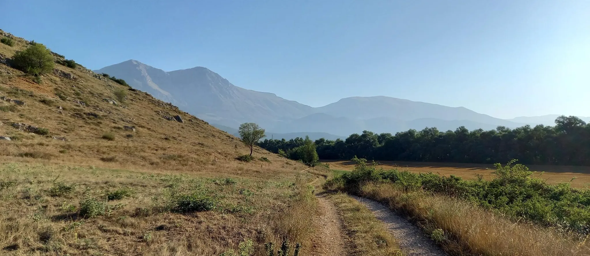
Hike from Rome to the Adriatic Sea – Way of St. Thomas
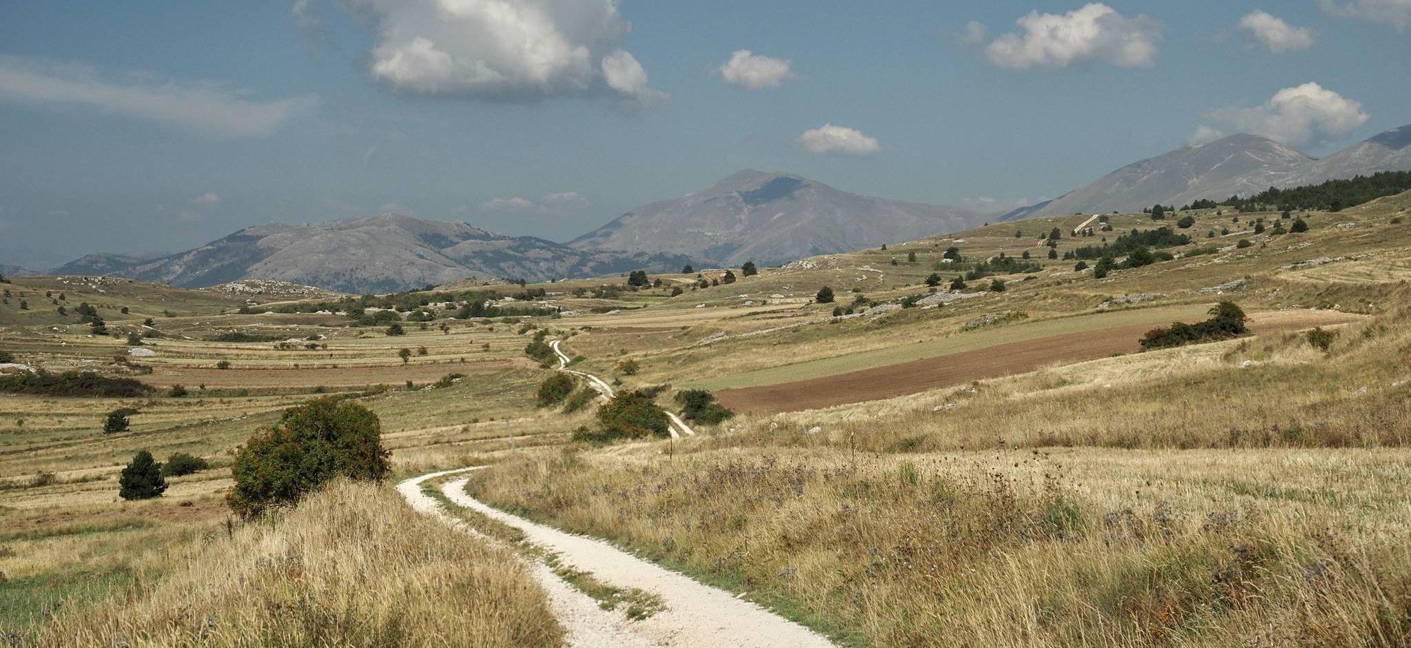
Bikepacking the Wolf's Lair – through Abruzzo in southern Italy

Hiking around Parco naturale regionale Sirente-Velino
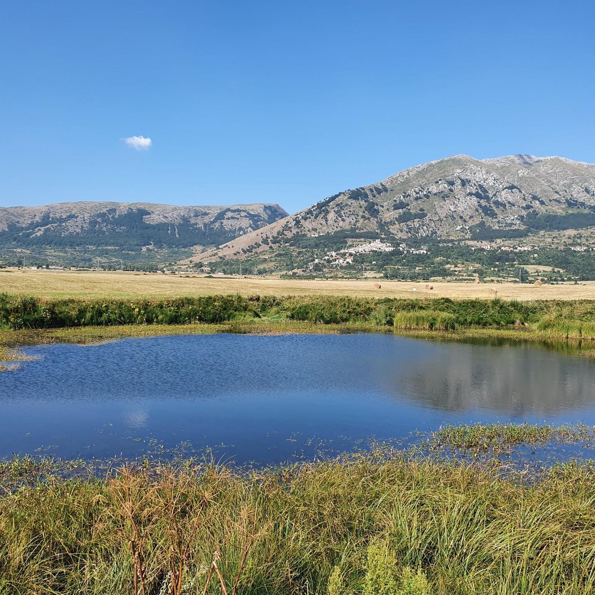
Cycling around Parco naturale regionale Sirente-Velino

Road Cycling Routes around Parco naturale regionale Sirente-Velino
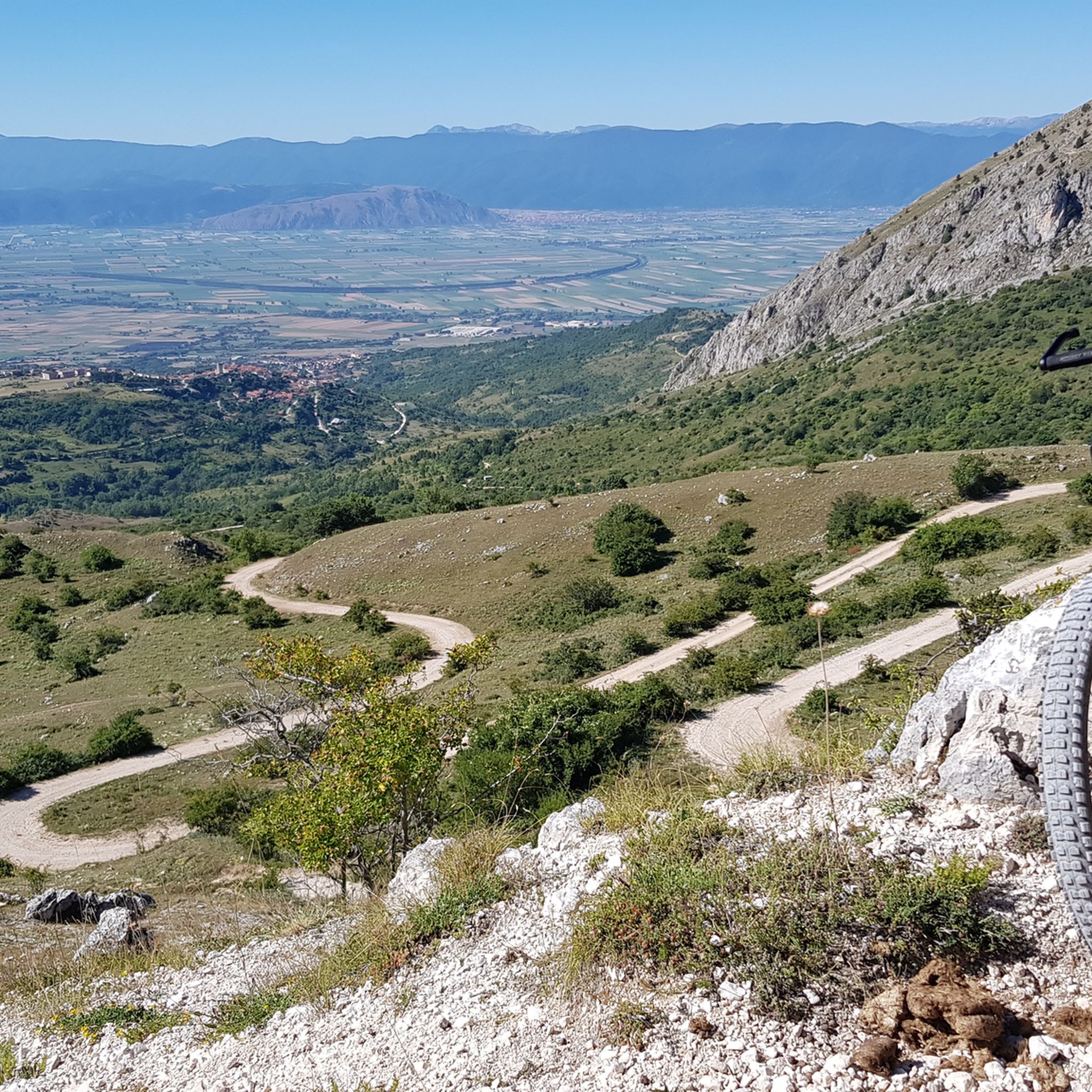
MTB Trails around Parco naturale regionale Sirente-Velino

Gravel biking around Parco naturale regionale Sirente-Velino
Other adventures around Parco naturale regionale Sirente-Velino


Tips from the Community

The cycle path is now asphalted. The surrounding panorama is beautiful, but sometimes there is little shade.
0
0

Beautiful cycle path that is popular and therefore very well maintained.
0
0

Rocca di Mezzo is a town in the Sirente-Velino Regional Park, a tourist resort both in summer and winter, thanks to the proximity of the ski resorts of Campo Felice and Ovindoli and the possibilities for hiking, trekking and cycling.
0
0
The Terranera Remembrance Park is dedicated to the fallen of the First and Second World Wars and houses a small octagonal stone votive temple. It offers a panoramic view of the Rocche plateau and the surrounding mountains.
0
0
Unpaved path that connects the villages of the Altopiano delle Rocche, between Ovindoli, Rovere and Rocca di Mezzo. It winds through the mountains of the Sirente-Velino Park and is perfect for walking, cycling and cross-country skiing in winter.
0
0
Crossroads of paths. From here you can follow the ascent to Monte Velino, and follow the other tracks within the Sirente-Velino Regional Park.
0
0
Monte di Sevice is a peak in the Abruzzo Apennines, in the Monte Velino massif, in the Sirente-Velino Regional Natural Park. It has a height of 2355 meters and forms a ridge with Monte Tre Sorelle, Monte Costognillo and Monte Velino.
0
0
Monte Cafornia is a mountain of 2424 meters, twin of Monte Velino, in the Sirente-Velino chain. It has a foresummit called Pizzo Cafornia and can be reached from Forme or from Massa d'Albe.
0
0
Frequently Asked Questions
How many running routes are available in Parco Naturale Regionale Sirente-Velino?
There are over 70 running routes in Parco Naturale Regionale Sirente-Velino, catering to various skill levels. You'll find everything from gentle paths through beech forests to challenging mountain ascents.
Are there easy running routes suitable for beginners or families?
Yes, the park offers several easy running routes perfect for beginners or families. These paths typically traverse quieter areas like beech forests and flower-filled meadows. While specific easy routes are not highlighted in the top picks, komoot lists 2 easy routes in the region, and many moderate trails can be enjoyed at a leisurely pace.
What kind of terrain can I expect on the running trails in this region?
The terrain in Parco Naturale Regionale Sirente-Velino is incredibly diverse, ranging from rugged peaks and deep valleys to lush forests and alpine meadows. You'll encounter paths through dense woodlands, open plateaus, and trails leading to mountain summits, offering a varied experience for every runner.
Are there challenging trail running options for experienced runners?
Absolutely. For experienced trail runners, the park provides numerous challenging routes, including ascents to peaks like Monte Velino and Monte Sirente. An example is the Ascent to Monte di Sevice and Passo Le Forche – loop run, which features significant elevation changes. There are 35 difficult routes available in the region.
Are there any circular running routes in Parco Naturale Regionale Sirente-Velino?
Yes, many routes in the park are designed as loops, allowing you to start and finish in the same location. A popular example is La Val d'Arano – loop run from Ovindoli, which offers scenic views of surrounding valleys and plateaus.
What natural attractions or landmarks can I see while running in the park?
The park is rich in natural beauty and historical sites. You can run past dramatic features like the Gorges of Celano, with its towering stone walls. Other highlights include various mountain passes such as Valico Fonte Capo La Maina, and the diverse flora and fauna of the region.
Are there any waterfalls along the running paths in Parco Naturale Regionale Sirente-Velino?
Yes, you can find waterfalls within the park's vicinity. The Fonte degli Innamorati Waterfall is one such natural attraction that can be enjoyed near some of the running routes, particularly those in the gorges area.
When is the best time of year to go running in Parco Naturale Regionale Sirente-Velino?
Spring and autumn are generally ideal for running, with pleasant temperatures and vibrant scenery. Spring brings an explosion of colorful flowers like lilies and daffodils, while autumn offers stunning foliage. Summer is also popular, especially for higher altitude trails, but be prepared for warmer temperatures. Winter running is possible, but some higher routes may require specific gear due to snow and ice.
What do other runners enjoy most about the trails in this region?
The running routes in Parco Naturale Regionale Sirente-Velino are highly rated by the komoot community, with an average score of 4.6 stars from over 10 reviews. Runners often praise the diverse landscapes, from high plateaus to challenging mountain ascents, and the well-maintained trails that allow for exploration of this beautiful natural park.
Is parking available near the trailheads for running routes?
While specific parking locations for every trailhead are not listed, the park is well-equipped for visitors. Many trailheads, especially those near villages or visitor centers, typically offer designated parking areas. It's advisable to check the starting point of your chosen route for specific parking information.
Can I bring my dog on the running trails in Parco Naturale Regionale Sirente-Velino?
Generally, dogs are permitted on trails within national parks in Italy, often on a leash. However, specific regulations can vary, especially in protected wildlife areas or during certain seasons. It's always best to check with the park's visitor centers or official website for the most current rules regarding pets on trails to ensure a pleasant and responsible experience for everyone.
Most popular routes around Parco naturale regionale Sirente-Velino
Most popular attractions around Parco naturale regionale Sirente-Velino

Get inspired with the komoot mobile app


Explore more
Browse the best Running Trails & Routes in other regions.
