The best road cycling routes around Parco interprovinciale di Montioni
4.6
(521)
15,145
riders
214
rides
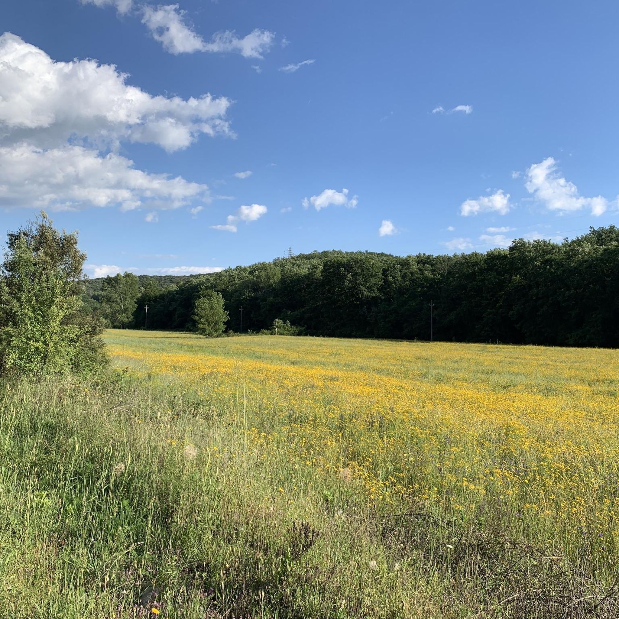
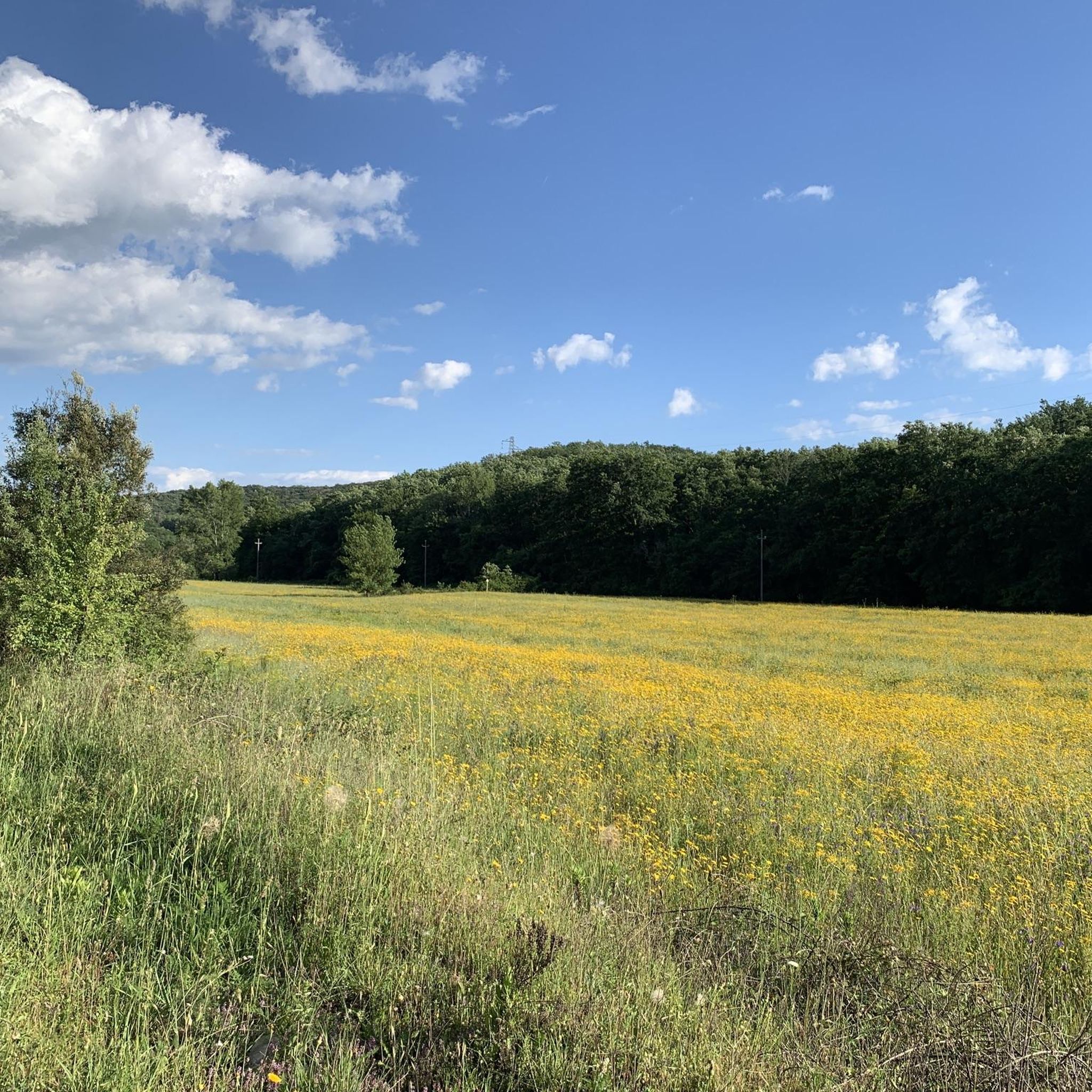
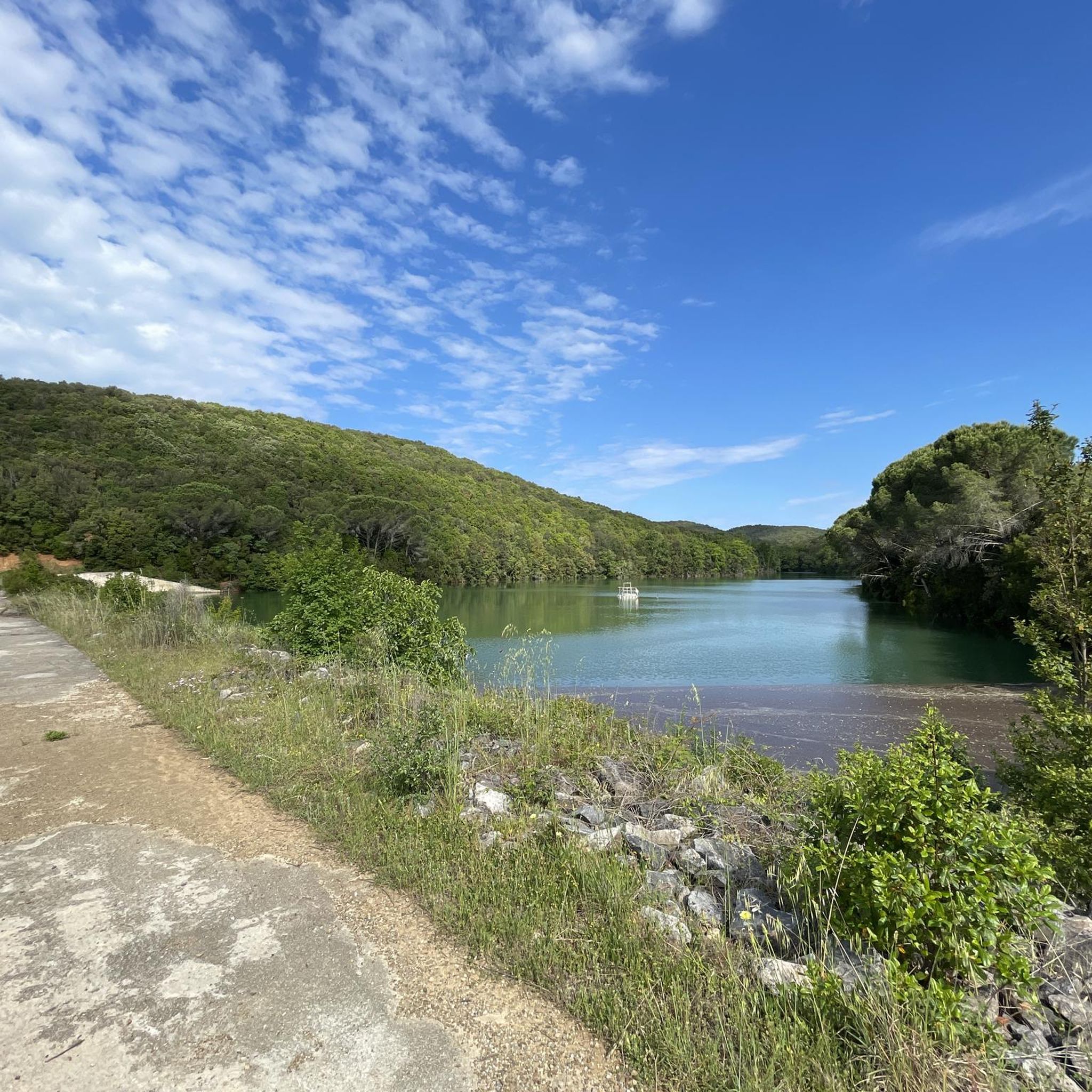
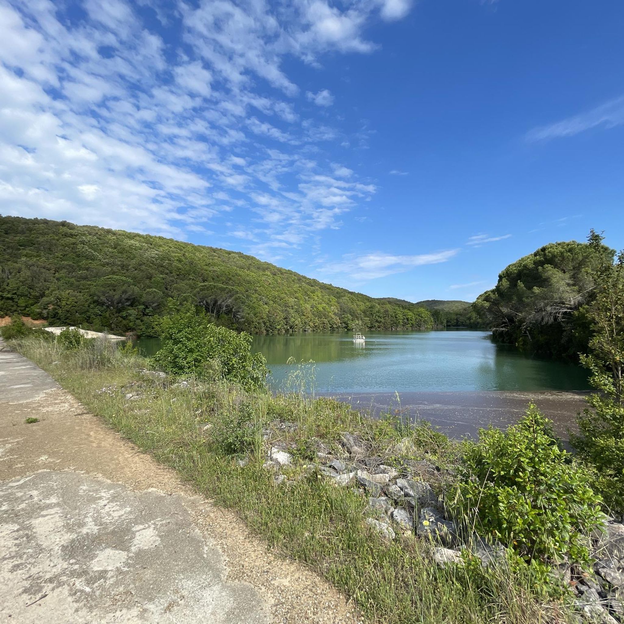
Road cycling routes around Parco interprovinciale di Montioni traverse a protected natural area spanning approximately 7,000 hectares across the provinces of Grosseto and Livorno. The park features hilly terrain with elevations reaching around 300 meters, covered in dense native vegetation, predominantly holm oaks and conifers. Routes often include asphalt sections, winding through diverse landscapes that offer views of the Valle del Pecora and the Gulf of Follonica from elevated points.
Best road cycling routes around Parco interprovinciale di Montioni
- The…
Last updated: May 27, 2026
5.0
(2)
43
riders
Moderate road ride. Good fitness required. Mostly well-paved surfaces and easy to ride.
4.8
(4)
23
riders
27.5km
01:10
210m
210m
Easy road ride. Great for any fitness level. Mostly well-paved surfaces and easy to ride.

Sign up for free
5.0
(1)
19
riders
Moderate road ride. Great for any fitness level. Some segments of this route may be unpaved and difficult to ride.
17
riders
Moderate road ride. Good fitness required. Mostly well-paved surfaces and easy to ride.
4.6
(12)
176
riders
Moderate road ride. Good fitness required. Some segments of this route may be unpaved and difficult to ride.
Get access to more routes and recommendations from other explorers.
Sign up for free
Already have an account?
Our route recommendations are based on thousands of hikes, rides, and runs completed by other people on komoot.
Start today with a free account
Your next adventure awaits.
Login or Signup
Popular around Parco interprovinciale di Montioni
Tips from the Community

A historic residence dating back to the year 1000, transformed into a luxurious period residence. More historical information and details on stays can be found on the Castello Magona website.
1
0
The Archaeological Museum is housed in the ancient Palazzo del Podestà (1225), which overlooks the Piazza del Duomo of Massa Marittima. The collection is organized into sections, ordered chronologically from the lower paleolithic to the etruscan age; the main piece of the prehistoric collection is the eneolithic statue-stele of Vado all’Arancio, the only find of its type in Maremma; the etruscan finds come mainly from excavations carried out at the village of Lago dell’Accesa, they are mainly kitchenware, loom weights, fishing weights and bricks; also present are the funerary trousseaux found in the necropolises, especially pottery (figulina clay and bucchero), bronze fibulae, iron pot stands, iron and bronze weapons. On the ground floor, an educational section is set up with a life-size reconstruction of typical caves: a paleolithic and an eneolithic one. Guided tours and educational activities, organization of cultural events and film screenings are available.
1
0
The Palazzo Comunale of Massa Marittima, located in Piazza Garibaldi, is an imposing 13th-14th century travertine building, the hub of medieval Tuscan power. The complex, characterized by three floors of mullioned windows and 19th-century battlements, combines the 14th-century Torre del Bargello (formerly Biserno) with the Sienese Gothic central body. The facade features the Medici coat of arms and a 15th-century bas-relief. Travertine structure composed of several blocks, with the Torre del Bargello (13th century) and the Gothic central body (14th century). It features the Medici coat of arms (1555), a bas-relief by Urbano da Cortona (15th century), and commemorative plaques of Giuseppe Garibaldi. It houses the Cappella dei Priori (frescoed in 1525, now the Mayor's office) and Igor Mitoraj's sculpture "Icarus" in the atrium.
0
0
The Strada Provinciale 19 (SP19) is about 10 km long. The route is direct and scenic, immersed in the Tuscan countryside and easily passable by car or bus. Beware 🚫 though, the road is narrow, winding and busy, therefore dangerous for us cyclists.
0
0
Campiglia Marittima is a charming medieval village located in the heart of Val di Cornia, in the province of Livorno, along the Etruscan Coast and just a few kilometers from the sea. With its approximately 13,000 inhabitants, Campiglia Marittima offers an authentic and welcoming atmosphere, perfect for those seeking a unique experience in the Tuscan countryside, with a combination of history, nature, and relaxation. Perched on a hill, Campiglia Marittima offers breathtaking views that stretch to the sea, and is an ideal base for discovering the wonders of the surrounding territory.
0
0
Massa Marittima stands proudly enclosed within a well-preserved city wall. It is a town that has received the Orange Flag from the Touring Club and is rich in medieval artistic testimonies, even though its origins are probably Etruscan. The small streets that cross the hill lead to a magical place where the harmony of the lines amazes, surprises, and invites contemplation. The history of Massa Marittima is closely linked to the silver, copper, and pyrite mines of the Colline Metallifere, exploited since the early metal ages and then especially in the Etruscan and medieval periods.
2
0
The Church of San Giusto is the guardian of millennia-old stories and a timeless charm. A majestic church, whose origins date back to between the 9th and 12th centuries, located next to the Church of San Michele Arcangelo, it is not only a sacred building, but a piece of history can be found in every corner. Named after San Giusto, bishop of Volterra, its origins are linked to the legend of the African exiled bishops, San Giusto, San Cerbone, San Fiorenzo, and San Regolo, who landed in the Val di Cornia in the 6th century, leaving an indelible mark throughout the valley. It is no coincidence, in fact, that San Fiorenzo is the patron saint of Campiglia Marittima and the Cathedral of Massa Marittima is dedicated to San Cerbone. The gabled façade, the evocative portal, and the quatrefoil rose window, with its black and white band decoration, are hallmarks of the Tuscan Romanesque style.
0
0
Church of the Madonna di sopra la Porta, located in the medieval village of Suvereto, in the province of Livorno. The church was built in 1480 and expanded in 1772 to commemorate a miraculous event that saved the inhabitants from a violent flood. According to history, during the flood, the heavy gates of the village inexplicably opened inward, allowing the water to flow out and saving the community. The relief lunette over the main portal, depicting the Blessing Redeemer, is attributed to Vittor Ghiberti.
1
0
Frequently Asked Questions
What kind of terrain can I expect on road cycling routes in Parco Interprovinciale di Montioni?
The routes in Parco Interprovinciale di Montioni feature hilly terrain with elevations reaching around 300 meters. While some sections might include single tracks or fire tracks, road cycling routes primarily utilize asphalt sections. The landscape is covered in dense native vegetation, predominantly holm oaks and conifers, offering a scenic and varied ride.
How many road cycling routes are available in the Parco Interprovinciale di Montioni area?
There are over 200 road cycling routes available around Parco Interprovinciale di Montioni, catering to various skill levels. This includes approximately 40 easy routes, nearly 120 moderate routes, and over 50 difficult routes, ensuring options for every cyclist.
Are there any easy road cycling routes suitable for beginners or a relaxed ride?
Yes, there are several easy routes. For a gentler ride along the Cornia River, consider the Cornia River – Fonte degli Angeli loop from San Lorenzo. This path is 21.2 km long and features minimal elevation gain, making it ideal for a quicker, relaxed outing.
What historical and natural attractions can I see along the road cycling routes?
The park is rich in historical and natural points of interest. You can encounter medieval structures like La Pievaccia Tower, ancient settlements, and the historical Montioni Baths, such as Terme della Baciocca. Natural features include dense forests and scenic viewpoints offering views of the Valle del Pecora and the Gulf of Follonica. You might also pass by Bicocchi Lake.
What are the best routes for experiencing the scenic views of the Tuscan hills and coast?
Many routes offer stunning panoramas. The Historic Village of Sassetta – View of the Tuscan Hills loop from San Lorenzo is a moderate 51.3 km route that provides excellent views of the Tuscan hills. From elevated points within the park, you can also enjoy breathtaking views of the Gulf of Follonica.
What is the best time of year for road cycling in Parco Interprovinciale di Montioni?
The region generally offers pleasant cycling conditions for much of the year. Spring and autumn are often ideal, with milder temperatures and lush landscapes. Summers can be warm, but the dense vegetation provides some shade. Always check local weather conditions before heading out.
Are there any longer, more challenging road cycling routes for experienced cyclists?
Yes, for experienced cyclists looking for a longer ride, the Historic Village of Sassetta – View of the Tuscan Hills loop from Vignale - Riotorto is a substantial 113.9 km route with significant elevation gain, offering a rewarding challenge through varied landscapes.
What do other road cyclists say about their experience in Parco Interprovinciale di Montioni?
The road cycling routes in Parco Interprovinciale di Montioni are highly rated by the komoot community, with an average score of 4.5 stars from over 600 reviews. Cyclists often praise the diverse terrain, the blend of natural beauty and historical sites, and the variety of routes suitable for different skill levels.
Are there any road cycling routes that pass through historic towns or villages?
Absolutely. Many routes are designed to connect natural landscapes with cultural highlights. For example, the Historic Center of Suvereto – View of Campiglia Marittima loop from San Lorenzo is a 55.6 km route that takes you through historic centers and offers views of Campiglia Marittima.
Is it possible to find circular road cycling routes in the area?
Yes, many of the road cycling routes in Parco Interprovinciale di Montioni are designed as loops, allowing you to start and end at the same point. This includes popular options like the Baratti Beach – Suvereto Historic Center loop from Agriturismo Campetroso, which is a moderate 57.7 km ride.
What are the typical elevation gains on road cycling routes in Parco Interprovinciale di Montioni?
Elevation gains vary significantly depending on the route's difficulty. Easy routes might have less than 100 meters of ascent, while moderate routes typically feature several hundred meters of climbing. More challenging routes can involve over 800 meters of elevation gain, reflecting the park's hilly terrain.
Most popular routes around Parco interprovinciale di Montioni
Most popular attractions around Parco interprovinciale di Montioni

Get inspired with the komoot mobile app


Explore more
Browse the best Road cycling routes in other regions.
