The best running trails around Parco regionale dell'Adamello
4.6
(44)
3,620
runners
291
runs
Jogging routes around Parco regionale dell'Adamello traverse a landscape characterized by high alpine valleys, dense forests, and rugged mountain terrain. The region features a mix of challenging ascents and more gradual paths, often following glacial valleys and river courses. Runners can expect varied elevations and natural surfaces, providing a diverse experience within the park's boundaries.
Best jogging routes around Parco regionale dell'Adamello
- The most popular jogging route is Città di Lissone Hut loop from Malga Lincino, a 2.8 miles…
Last updated: July 6, 2026
13
runners
4.44km
00:54
390m
390m
Hard run. Very good fitness required. Mostly paved surfaces. Suitable for all skill levels.
8
runners
11.8km
01:36
660m
660m
Hard run. Very good fitness required. Mostly paved surfaces. Suitable for all skill levels.

Sign up for free
65
runners
5.45km
00:36
110m
110m
Moderate run. Good fitness required. Mostly paved surfaces. Suitable for all skill levels.
17
runners
8.36km
00:53
100m
100m
Moderate run. Good fitness required. Mostly paved surfaces. Suitable for all skill levels.
13
runners
3.49km
00:42
230m
230m
Hard run. Good fitness required. Sure-footedness, sturdy shoes and alpine experience required.
Get access to more routes and recommendations from other explorers.
Sign up for free
Already have an account?
Our route recommendations are based on thousands of hikes, rides, and runs completed by other people on komoot.
Start today with a free account
Your next adventure awaits.
Login or Signup
Popular around Parco regionale dell'Adamello
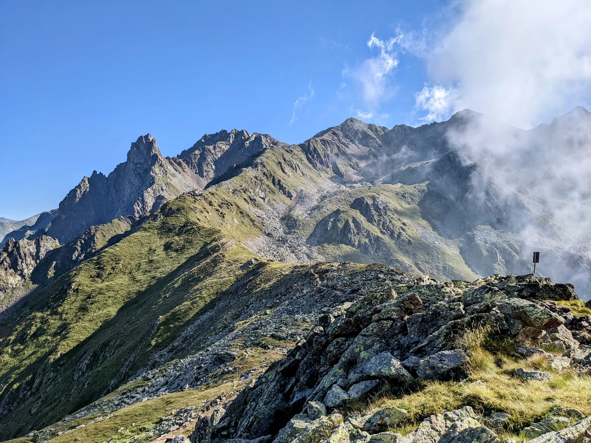
Between history and nature in Val Camonica – Adamello Ultra Trail

L1 from Garmisch to Brescia – Far from the classic Alpine crossings
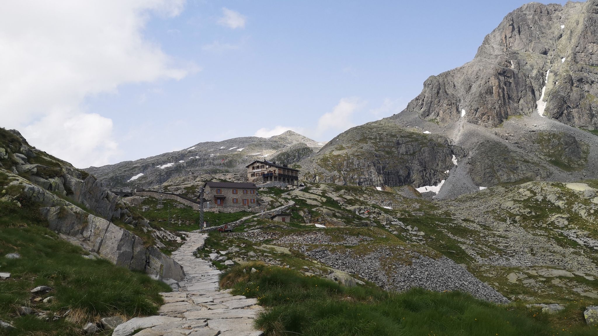
Along Path no. 1 – Alta Via dell'Adamello

Peaks, rock carvings and mountain huts – hike Italy’s Val Camonica
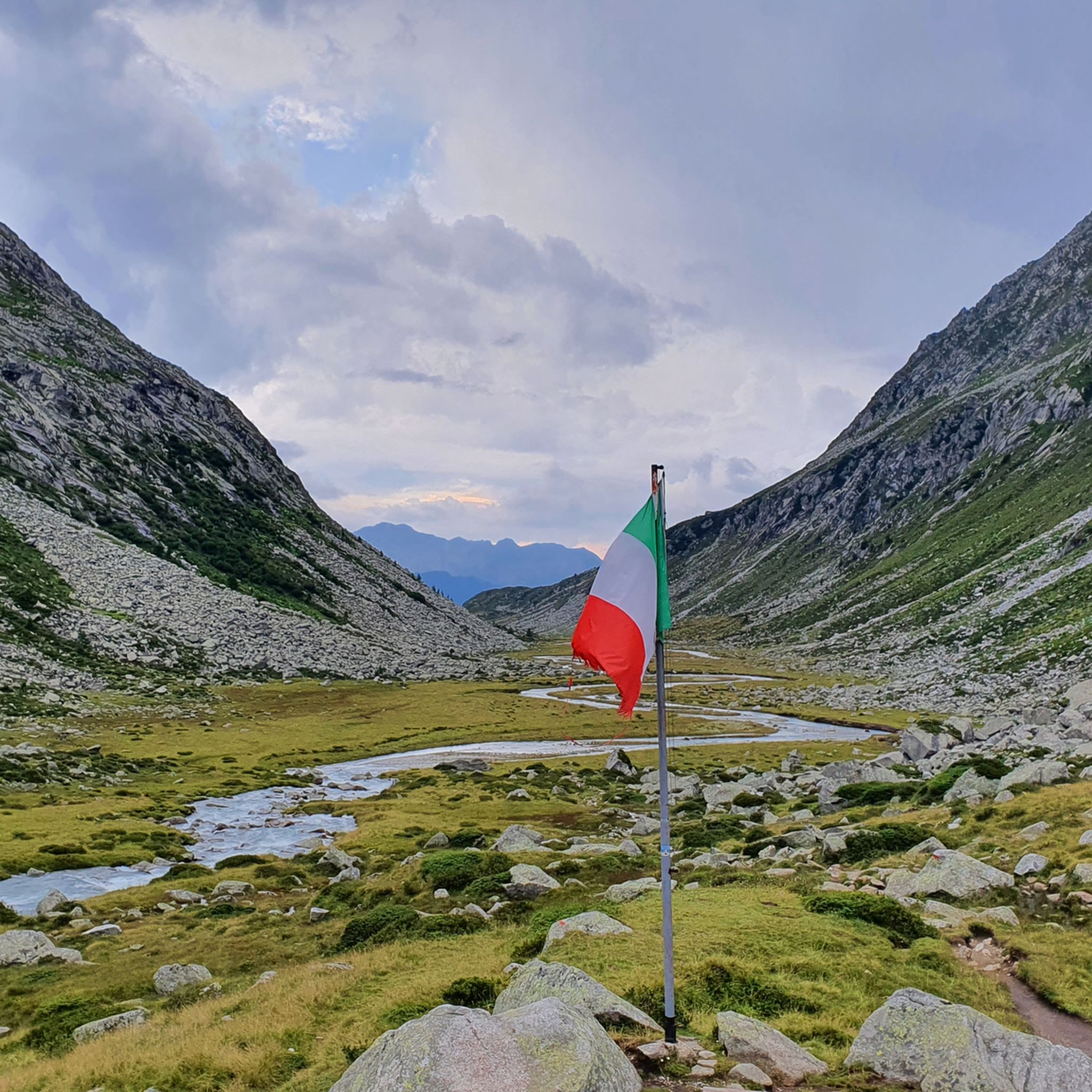
Hiking around Parco regionale dell'Adamello
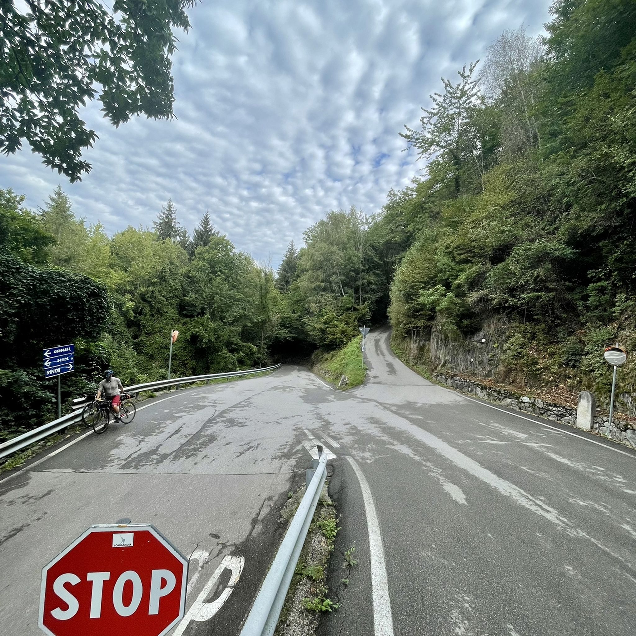
Road Cycling Routes around Parco regionale dell'Adamello
MTB Trails around Parco regionale dell'Adamello

Gravel biking around Parco regionale dell'Adamello
Cycling around Parco regionale dell'Adamello

Mountain Hikes around Parco regionale dell'Adamello
Other adventures around Parco regionale dell'Adamello


Tips from the Community

beautiful path that leads to the Lissone refuge
0
0

The Scale dell’Adamè is a suggestive stretch of path that connects Malga Lincino (about 1,600 m) to the spectacular Valle Adamè, in the Adamello Park. It is an ancient military mule track, built during the First World War, which overcomes a difference in altitude of about 400 meters through a series of stone steps and hairpin bends set in the rock. The route: starts from the base of the cable car of the Rifugio Città di Lissone; it develops in the shade in the morning, among larches, rhododendrons and smooth rocks; it is well protected by wooden fences, but requires a sure step and trekking boots, especially on the descent, when the steps can be slippery. Once you have passed the Scale, you enter the Valle Adamè, a U-shaped glacial basin, crossed by the Poia torrent and surrounded by imposing peaks such as Monte Fumo and Corno dell’Adamè. From there you can continue towards the Rifugio Città di Lissone or the Baita Adamè, or venture towards the Vedretta dell’Adamè or the Bivacco Ceco Baroni. It is a short but intense stretch, which gives a true sense of conquest and a spectacular entrance into one of the most fascinating valleys of the Alpine arc.
1
0
The Rifugio Città di Lissone is located at 2,020 meters above sea level, in the heart of the Adamè Valley, in the Adamello Regional Park, in the municipality of Saviore dell’Adamello (BS). It is a much-loved destination for hikers, families and mountaineers, thanks to its spectacular location at the foot of the Adamello and the ease of access from Malga Lincino (about 1 hour's walk, 400 m of altitude difference). Originally an ENEL building, it was used as a barracks during the White War and transformed into a refuge by the CAI of Lissone in the 1970s. After a fire in 1986, it was rebuilt and reopened in 1991. Today it offers 70 beds, cuisine with local products (including from nearby Malga Adamè), and a warm welcome from the managers, both ski mountaineering instructors. The refuge is a starting point for: excursions towards Corno di Grevo (also via ferrata), crossings towards Rifugio Baita Adamè, historical explorations along the paths of the Great War.
0
0

Near Ponte di Legno, Parco Sozzine is a great place to get closer to mountain life with the whole family. The Oglio Narcanello stream flows here, which – merging with the Frigidolfo – forms the actual Oglio. There is also a children's playground made entirely of wood.
0
0

In the Sozzine area, along the Oglio Narcanello stream, an old stone dam appears to have been abandoned: this is also why it is characteristic.
0
0
The town of Sonico stands on a hill, on the left bank of the Oglio, on the banks of the Valli Grandi stream. All around, on the slope to the east as in the stretches of plain, you can see ancient fields, meadows, copses and centuries-old fruit-bearing chestnut groves. In the medieval historic center with Piazza IV Novembre there are towers and houses of the Federici di Sonico, the parish church of San Lorenzo, the small church of San Giuseppe, while to the north, just beyond the Pradella district, stands the sanctuary of the Madonna known as Pradella . In the second half of the 20th century, urban development took place especially on the slope sloping down towards the state road, along its variants.
1
0
The Sonico powder magazine was designed in 1906 and it was especially during the Second World War that its history became tragically important. The partisans from Mortirolo carried out numerous incursions to understand the actual presence of weapons, explosives and ammunition. On 28 March 1945 some partisans were instructed to go down to warn the population, through the parish priests of Garda and Rino, that the allies were about to bomb the powder magazine where the German war arsenal was kept. Around 1pm on March 29, 1945, the powder magazine was bombed. Since then the skeleton of what was the place of death has remained on the site. Now the powder magazine has been restored, leaving the skeleton in the open air as it has been seen for 70 years by those passing by on the road between Sonico and Rino. On Republic Day it was returned to history and memory, entering the great circuit of places of remembrance.
2
1

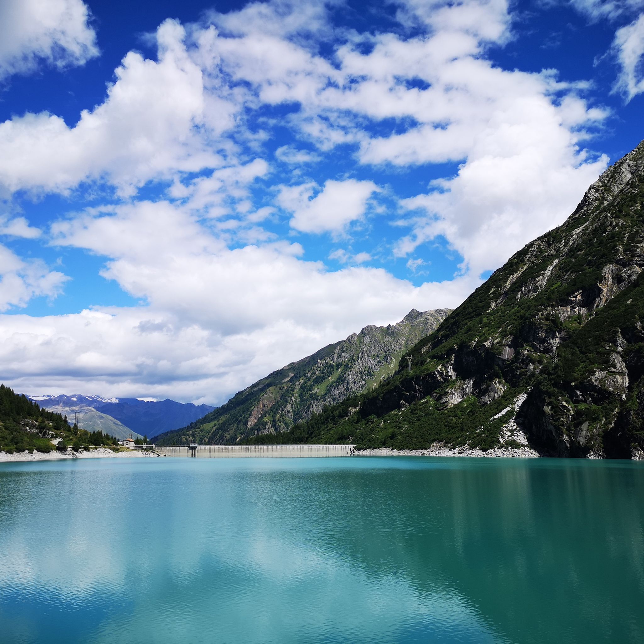
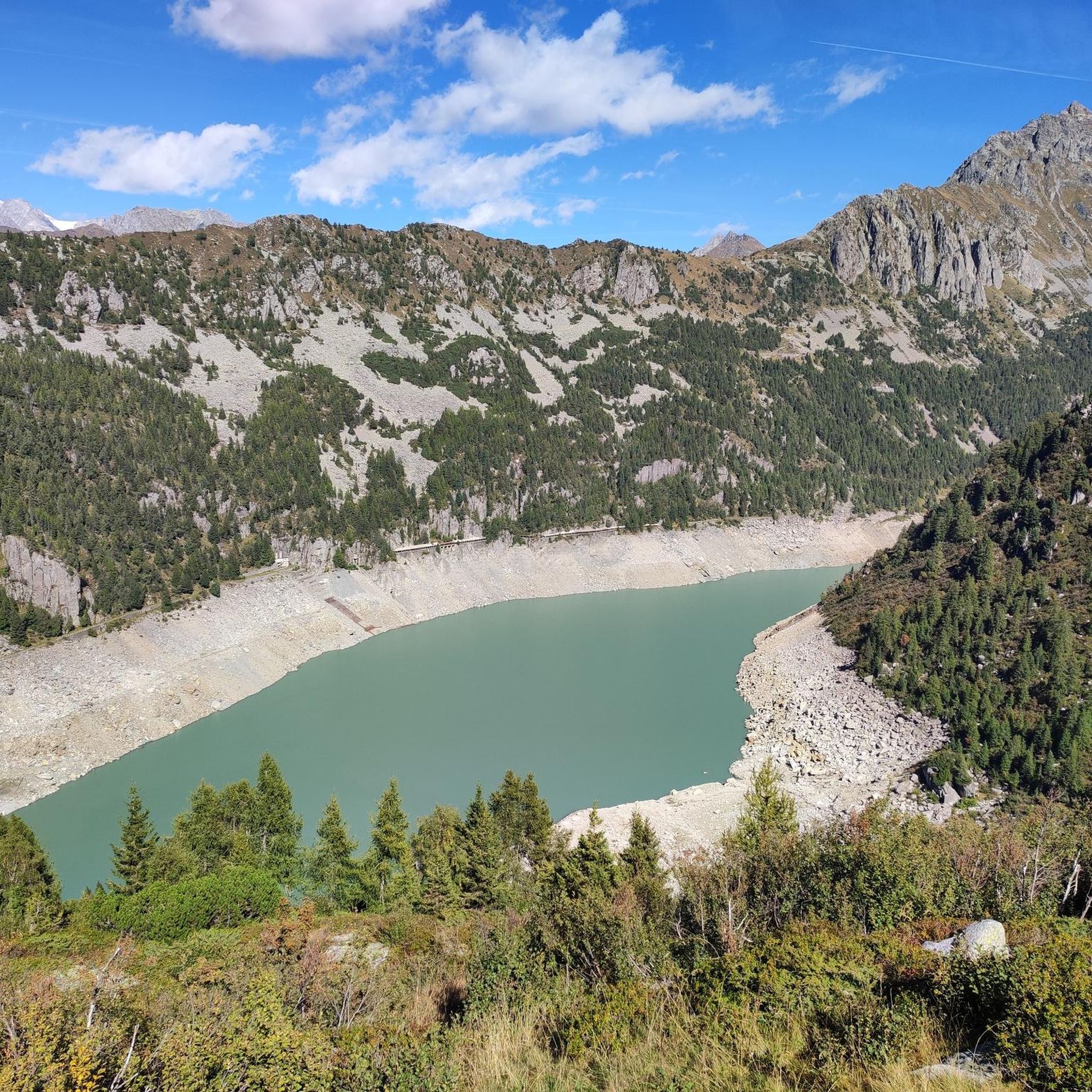
Lago Salarno is a beautiful alpine lake with a circular shape and is closed by an imposing dam. It can be found along the mule track that leads to the Prudenzini refuge in the valley of the same name.
0
0
Frequently Asked Questions
How many running routes are available in Parco regionale dell'Adamello?
There are over 200 running routes in Parco regionale dell'Adamello, offering a wide range of options for different skill levels and preferences. The komoot community has explored 207 routes in total.
Are there running trails suitable for beginners in Parco regionale dell'Adamello?
Yes, Parco regionale dell'Adamello offers several running trails suitable for beginners. There are 9 easy routes available, providing a gentler introduction to the region's beautiful landscapes. For example, the Bacino ENEL loop from Sonico is a moderate 8.3 km path that takes about 52 minutes to complete.
What kind of terrain can I expect on the running routes in Parco regionale dell'Adamello?
The running routes in Parco regionale dell'Adamello feature diverse terrain, including high alpine valleys, dense forests, and rugged mountain paths. You'll encounter a mix of challenging ascents and more gradual paths, often following glacial valleys and river courses. Expect natural surfaces and varied elevations throughout the park.
What do other runners say about the trails in Parco regionale dell'Adamello?
The running trails in Parco regionale dell'Adamello are highly rated by the komoot community, with an average score of 4.7 stars from over 40 reviews. Nearly 3,000 runners have used komoot to explore the varied terrain, often praising the stunning alpine scenery and diverse route options.
Are there any circular running routes in Parco regionale dell'Adamello?
Yes, many of the running routes in Parco regionale dell'Adamello are circular. Examples include the popular Città di Lissone Hut loop from Malga Lincino, a 4.5 km trail, and the longer Città di Lissone Hut loop from Valle di Saviore, which covers 15.6 km.
What natural landmarks or points of interest can I see while running in Parco regionale dell'Adamello?
While running in Parco regionale dell'Adamello, you can discover numerous natural landmarks. The region is home to beautiful lakes such as Lake Aviolo and Lake Avio. You might also pass by mountain huts like the Città di Lissone Hut or the Malga Stain Hut, which offer scenic views and potential rest stops.
Are there any mountain huts along the running routes in Parco regionale dell'Adamello?
Yes, several running routes in Parco regionale dell'Adamello pass by or lead to mountain huts. Notable huts include the Città di Lissone Hut, Colombé Hut, and Baita Adamè Mountain Hut. These can be great destinations or waypoints for your run, often offering stunning views.
What is the best time of year for jogging in Parco regionale dell'Adamello?
The best time for jogging in Parco regionale dell'Adamello is typically from late spring to early autumn (June to September). During these months, the weather is generally milder, and most trails are free of snow, making for more accessible and enjoyable running conditions in the high alpine environment.
Are there any shorter, more accessible running trails in the park?
For those looking for shorter, more accessible options, routes like the Rifugio Malga Stain loop from Sonico offer a good choice. This trail is approximately 3.5 km long and can be completed in about 42 minutes, providing a quicker way to experience the park's beauty.
Are there any longer, more challenging running routes for experienced runners?
Experienced runners seeking a challenge will find many difficult routes in Parco regionale dell'Adamello. For instance, the Città di Lissone Hut loop from Bar Ristorante Stella Alpina is a difficult 14.3 km path with significant elevation gain, taking around 2 hours and 12 minutes to complete.
What are the typical elevations encountered on running trails in Parco regionale dell'Adamello?
Running trails in Parco regionale dell'Adamello feature varied elevations, ranging from moderate climbs to significant ascents. For example, a route like the Città di Lissone Hut loop from Malga Lincino involves an elevation gain of about 390 meters, while longer, more difficult routes can have over 900 meters of ascent.
Most popular routes around Parco regionale dell'Adamello
Most popular attractions around Parco regionale dell'Adamello

Get inspired with the komoot mobile app


Explore more
Browse the best Running Trails & Routes in other regions.
