The best mountain hikes around Parco regionale dell'Adamello
4.2
(26)
332
hikers
22
hikes
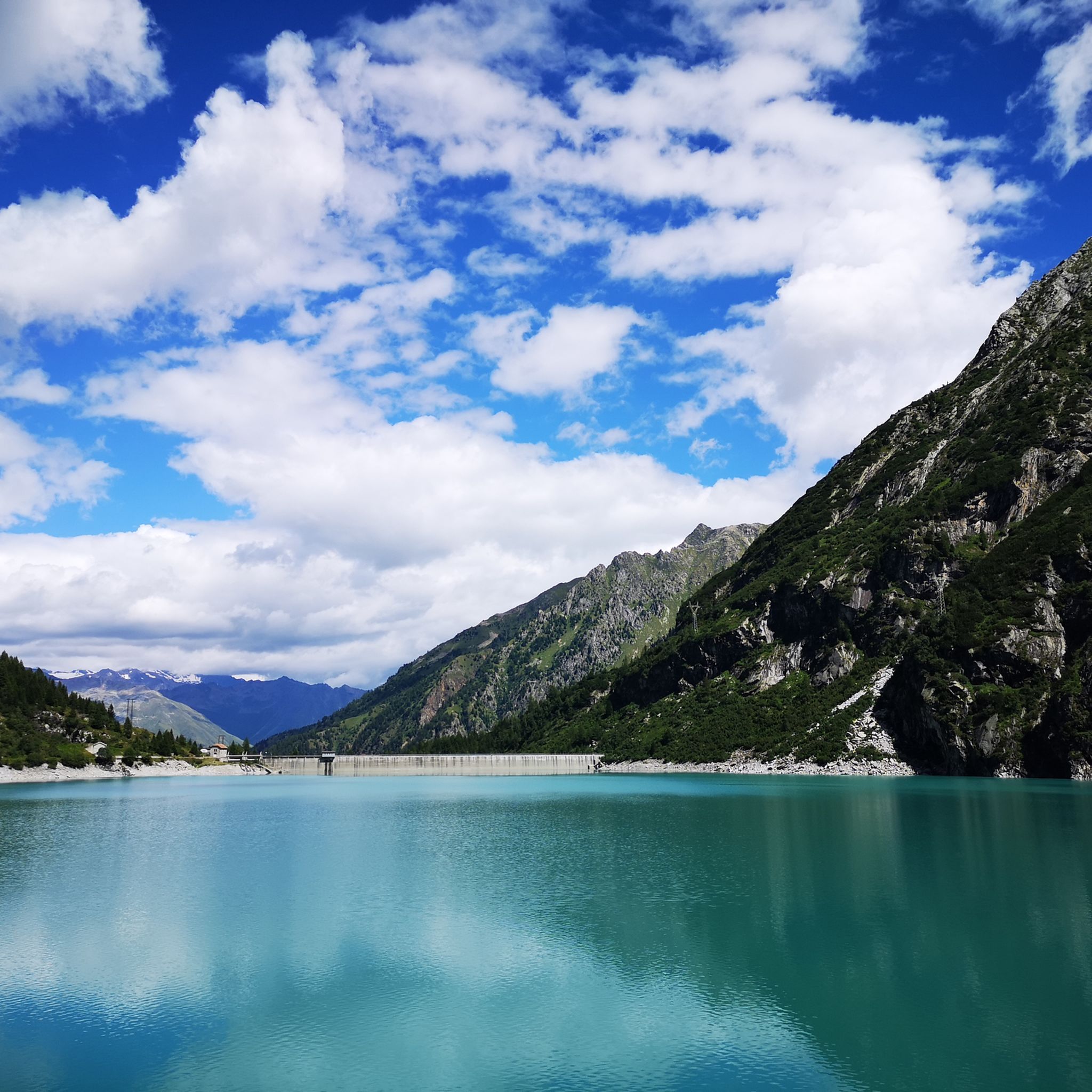
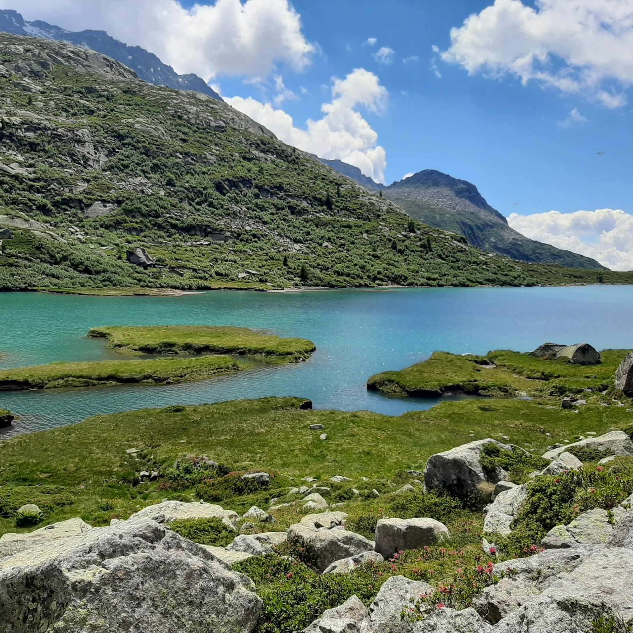
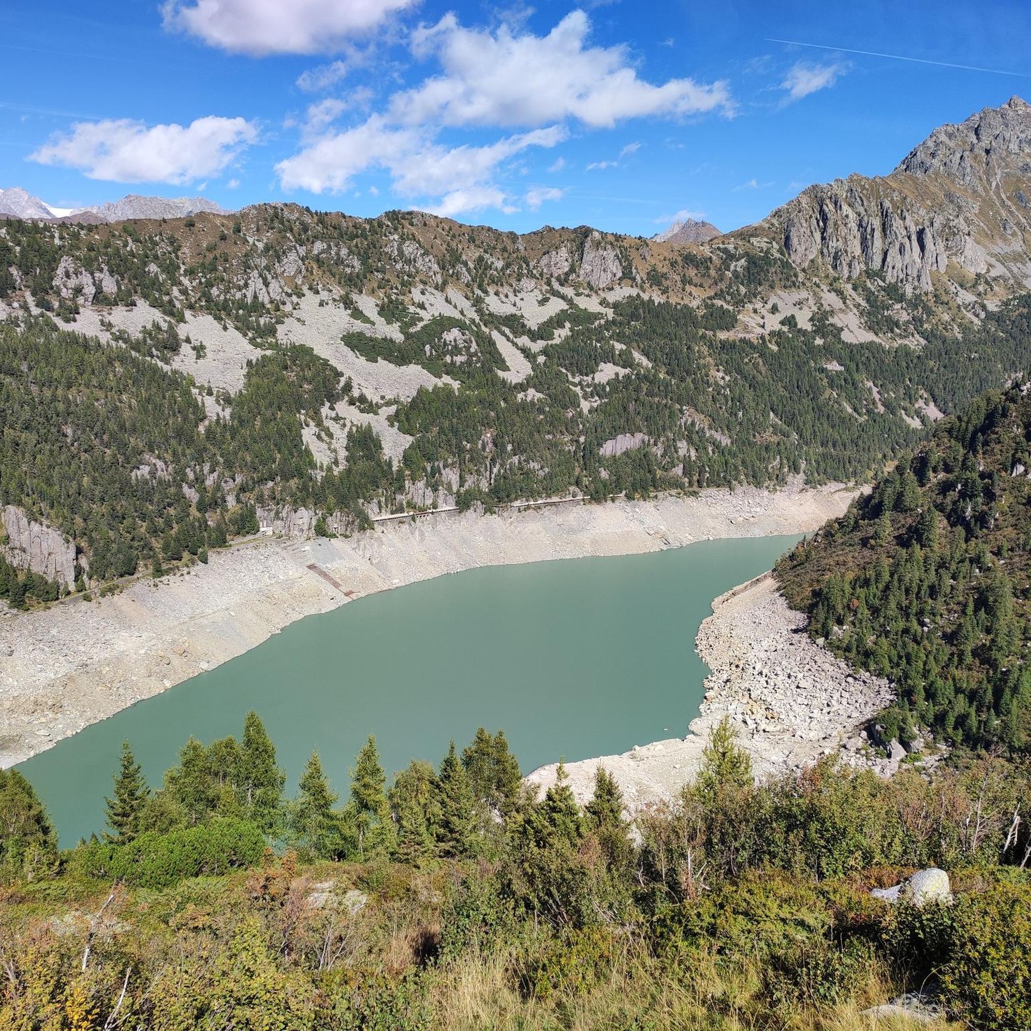
Mountaineering routes around Parco regionale dell'Adamello traverse a landscape shaped by glacial formations, featuring towering peaks and diverse geology. The park, located in the southern Rhaetian Alps, is characterized by numerous valleys, ridges, and mountain chains, alongside many small lakes, rivers, and waterfalls. Its core consists of igneous rocks such as tonalites and granodiorites, contributing to a varied terrain ideal for challenging ascents.
Best mountaineering routes around Parco regionale dell'Adamello
- The most popular mountaineering route is Lago Miller – Malga del Miller loop from Malga Premassone, a 4.8 miles (7.7 km) trail that takes 3 hours 18 minutes to complete. This moderate route offers views of alpine lakes and mountain pastures.
- Another top favourite among local mountaineers is Lake Avio loop from Malga Caldea, a difficult 11.5 miles (18.5 km) path. This route features significant elevation gain and panoramic vistas of the Adamello massif.
- Local mountaineers also love the Pizzo Badile Camuno – Rifugio De Marie al Volano loop from Paspardo, a 4.5 miles (7.3 km) trail leading through high mountain terrain, often completed in about 5 hours 13 minutes.
- Mountaineering around Parco regionale dell'Adamello is defined by glacial formations, towering peaks, and alpine valleys, with routes offering options for both moderate and difficult ability levels.
- The routes in Parco regionale dell'Adamello are highly rated by the komoot community with an average score of 4.2 stars from more than 30 reviews. More than 400 mountaineers have used komoot to explore Parco regionale dell'Adamello's varied terrain.
Last updated: July 4, 2026
3.0
(1)
25
hikers
7.66km
03:17
570m
570m
Moderate mountaineering route. Good fitness required. Mostly accessible paths. Sure-footedness required.
4.0
(3)
21
hikers
7.40km
05:14
1,030m
1,030m
Hard mountaineering route. Very good fitness required. Sure-footedness, sturdy shoes and alpine experience required.

Sign up for free
5.0
(1)
16
hikers
9.48km
06:19
1,160m
1,160m
Hard mountaineering route. Very good fitness required. Sure-footedness, sturdy shoes and alpine experience required.
6
hikers
11.4km
08:17
1,300m
1,300m
Hard mountaineering route. Very good fitness required. Sure-footedness, sturdy shoes and alpine experience required.
5.0
(1)
6
hikers
5.77km
03:10
460m
460m
Hard mountaineering route. Good fitness required. Sure-footedness, sturdy shoes and alpine experience required.
Get access to more routes and recommendations from other explorers.
Sign up for free
Already have an account?
Our route recommendations are based on thousands of hikes, rides, and runs completed by other people on komoot.
Start today with a free account
Your next adventure awaits.
Login or Signup
Popular around Parco regionale dell'Adamello

L1 from Garmisch to Brescia – Far from the classic Alpine crossings
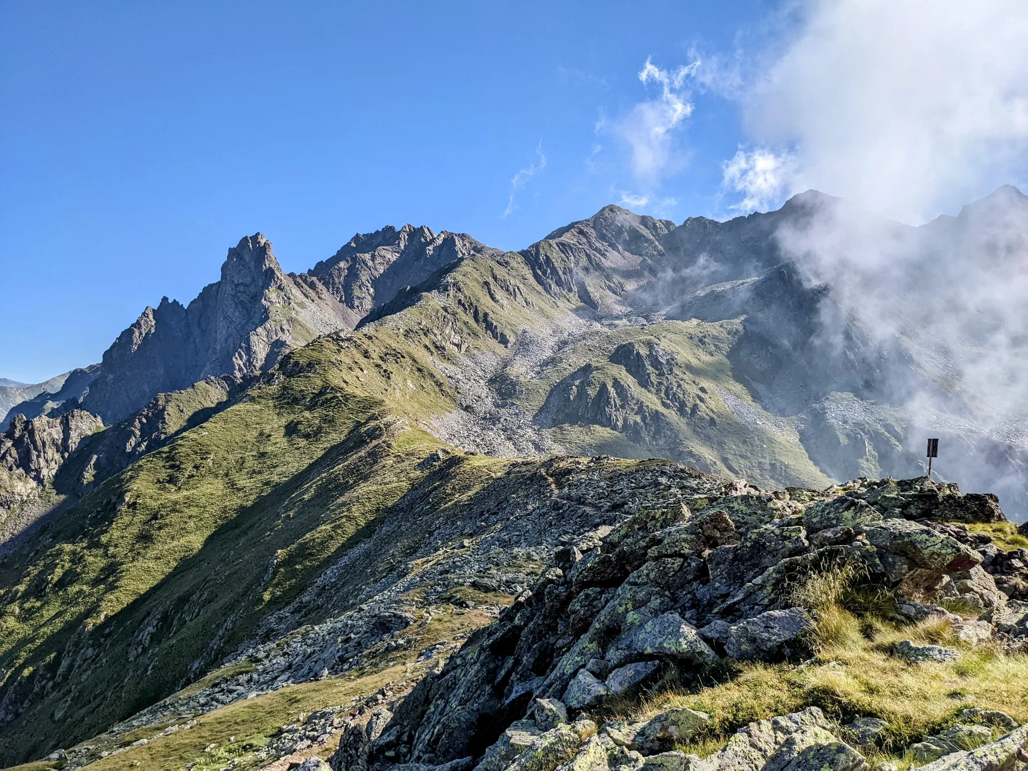
Between history and nature in Val Camonica – Adamello Ultra Trail
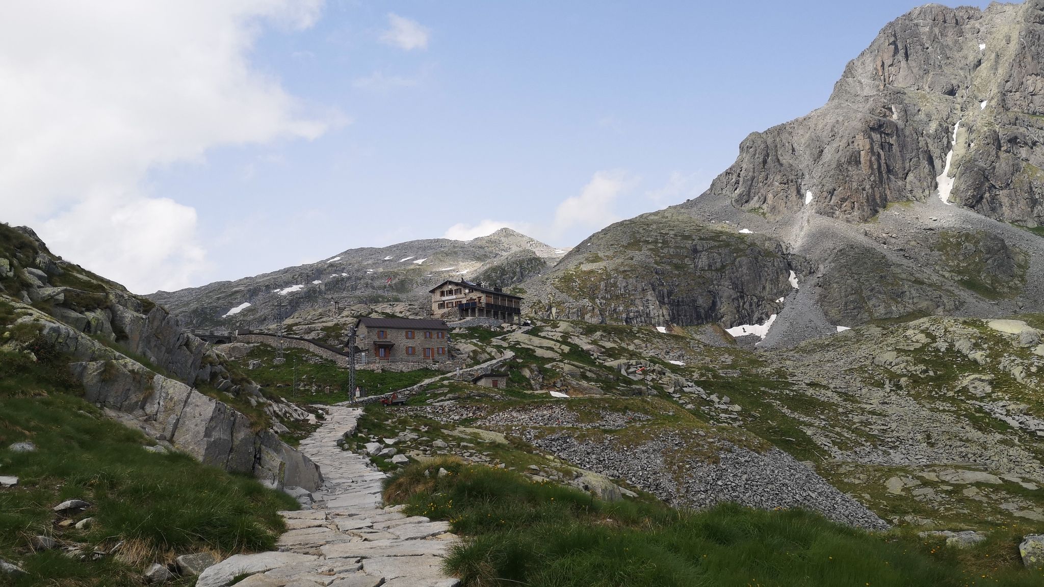
Along Path no. 1 – Alta Via dell'Adamello

Peaks, rock carvings and mountain huts – hike Italy’s Val Camonica
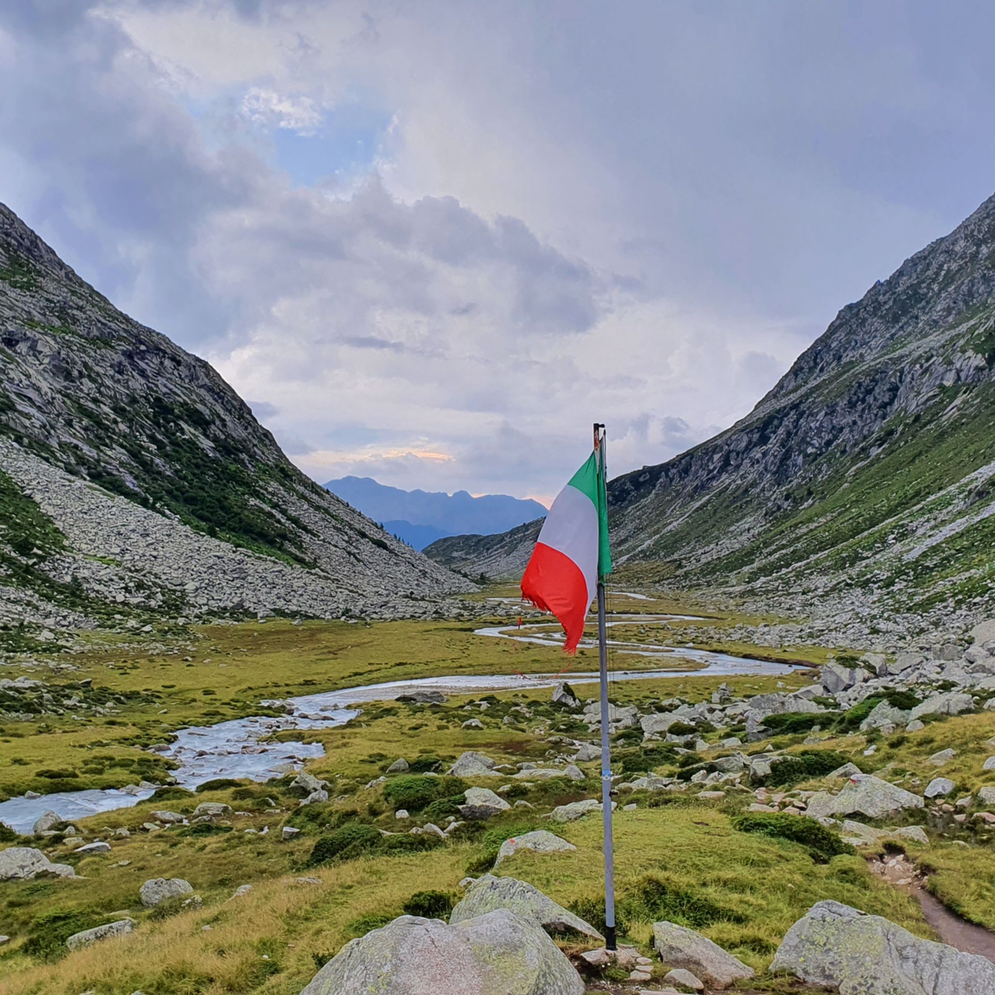
Hiking around Parco regionale dell'Adamello
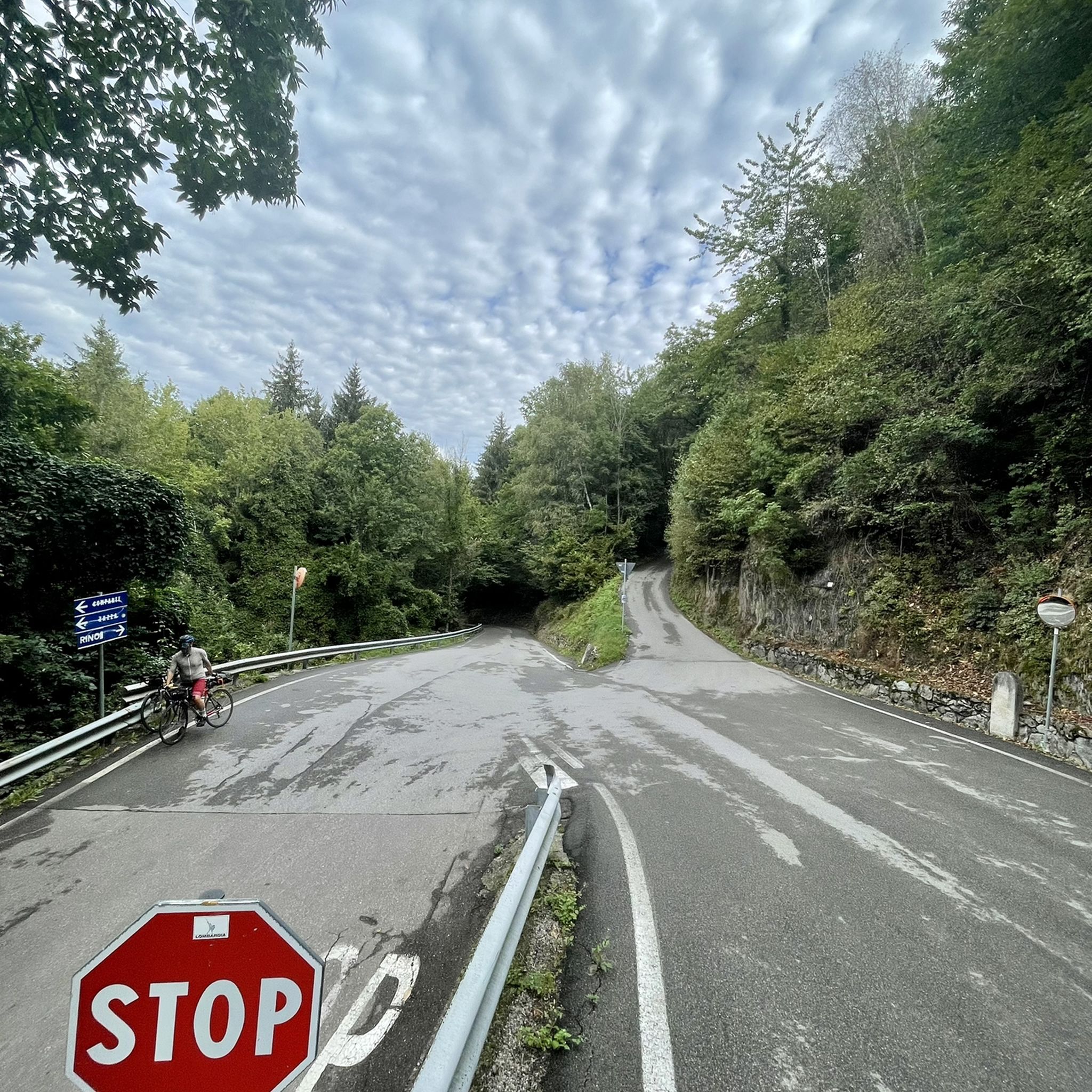
Road Cycling Routes around Parco regionale dell'Adamello
MTB Trails around Parco regionale dell'Adamello
Running Trails around Parco regionale dell'Adamello

Gravel biking around Parco regionale dell'Adamello
Cycling around Parco regionale dell'Adamello
Other adventures around Parco regionale dell'Adamello


Tips from the Community

Here, Corno Miller on one side, Cima Ugolini on the other, Pian di Neve that opens up, it's a marvel
1
0

beautiful path that leads to the Lissone refuge
0
0

Excellent refuge, the refugee is very knowledgeable and always willing to offer advice. The food is good and the facility is well-maintained, and lastly, it's really cheap.
0
0
Excellent refuge. The refugee is very knowledgeable and available for advice. The food is good, the structure is well-maintained, sustainable, and finally, it's cheap for what you get. Highly recommended.
0
0

The Scale dell’Adamè is a suggestive stretch of path that connects Malga Lincino (about 1,600 m) to the spectacular Valle Adamè, in the Adamello Park. It is an ancient military mule track, built during the First World War, which overcomes a difference in altitude of about 400 meters through a series of stone steps and hairpin bends set in the rock. The route: starts from the base of the cable car of the Rifugio Città di Lissone; it develops in the shade in the morning, among larches, rhododendrons and smooth rocks; it is well protected by wooden fences, but requires a sure step and trekking boots, especially on the descent, when the steps can be slippery. Once you have passed the Scale, you enter the Valle Adamè, a U-shaped glacial basin, crossed by the Poia torrent and surrounded by imposing peaks such as Monte Fumo and Corno dell’Adamè. From there you can continue towards the Rifugio Città di Lissone or the Baita Adamè, or venture towards the Vedretta dell’Adamè or the Bivacco Ceco Baroni. It is a short but intense stretch, which gives a true sense of conquest and a spectacular entrance into one of the most fascinating valleys of the Alpine arc.
1
0
The Rifugio Città di Lissone is located at 2,020 meters above sea level, in the heart of the Adamè Valley, in the Adamello Regional Park, in the municipality of Saviore dell’Adamello (BS). It is a much-loved destination for hikers, families and mountaineers, thanks to its spectacular location at the foot of the Adamello and the ease of access from Malga Lincino (about 1 hour's walk, 400 m of altitude difference). Originally an ENEL building, it was used as a barracks during the White War and transformed into a refuge by the CAI of Lissone in the 1970s. After a fire in 1986, it was rebuilt and reopened in 1991. Today it offers 70 beds, cuisine with local products (including from nearby Malga Adamè), and a warm welcome from the managers, both ski mountaineering instructors. The refuge is a starting point for: excursions towards Corno di Grevo (also via ferrata), crossings towards Rifugio Baita Adamè, historical explorations along the paths of the Great War.
0
0
Frequently Asked Questions
How many mountaineering routes are available in Parco regionale dell'Adamello?
There are over 25 mountaineering routes in Parco regionale dell'Adamello, with options ranging from moderate to difficult. The majority, 21 routes, are classified as difficult, offering significant challenges for experienced mountaineers.
What are the typical difficulties of mountaineering routes in Parco regionale dell'Adamello?
Mountaineering routes in Parco regionale dell'Adamello are predominantly challenging. While there are 6 moderate routes, 21 are classified as difficult, often involving substantial elevation gain and rugged terrain. For example, the Lake Avio loop from Malga Caldea is an 18.5 km difficult path with over 1000 meters of elevation gain.
Are there any circular mountaineering routes in the Adamello Park?
Yes, many routes in Parco regionale dell'Adamello are circular. An example is the moderate Lago Miller – Malga del Miller loop from Malga Premassone, which is 7.7 km long and takes about 3 hours 18 minutes to complete. Another challenging circular option is the Pizzo Badile Camuno – Rifugio De Marie al Volano loop from Paspardo, covering 7.3 km.
What natural features can I expect to see along the mountaineering routes?
The routes traverse a landscape shaped by glacial formations, featuring towering peaks, diverse geology, and numerous high-altitude lakes, rivers, and waterfalls. You might encounter the dramatic Adamello Glacier, Italy's largest glacier, and pass by stunning alpine lakes such as Lake Aviolo. The region's core consists of igneous rocks like tonalites and granodiorites, contributing to its varied terrain.
Are there mountain huts or shelters available along the routes?
Yes, the park is well-equipped with mountain huts and bivouacs to support multi-day excursions. There are 25 mountain huts and 8 mountain shelters within the park. Notable examples include the Città di Lissone Hut and Colombé Hut, which can be found along various routes.
What is the best time of year for mountaineering in Parco regionale dell'Adamello?
The best time for mountaineering in Parco regionale dell'Adamello is typically during the warmer months, from late spring to early autumn, when trails are generally free of snow and weather conditions are more stable. High-altitude routes, especially those involving glaciers, are best undertaken in summer. Winter mountaineering is possible but requires specialized equipment and experience due to snow and ice conditions.
What kind of wildlife might I encounter while mountaineering?
Parco regionale dell'Adamello is a haven for diverse wildlife. Depending on the altitude and season, you might spot ibex, chamois, red and roe deer, and marmots. Golden eagles soar overhead, and brown bears, extending their range from the neighboring Adamello Brenta Park, are increasingly frequent in the valleys. Keep a respectful distance and observe from afar.
Are there any historical points of interest along the mountaineering trails?
Yes, the park holds significant historical interest. At high altitudes, you can find remnants of the 'White War' from World War I, including trenches and bivouacs. The Adamè Steps, for instance, are part of a route that retraces battle positions. Prehistoric rock carvings and rural Alpine architecture also dot the area, reflecting a long human history.
What do other mountaineers say about the routes in Parco regionale dell'Adamello?
The mountaineering routes in Parco regionale dell'Adamello are highly rated by the komoot community, with an average score of 4.2 stars from over 30 reviews. Mountaineers often praise the dramatic landscapes, the challenge of the high-altitude terrain, and the stunning views of alpine lakes and glaciers.
Are there any less crowded mountaineering trails in the park?
While specific 'less crowded' routes are not explicitly highlighted, the park's vastness and extensive network of over 1,000 km of paths mean that it's possible to find quieter trails, especially away from the most popular access points or during off-peak times. Exploring routes that lead to less frequented mountain passes like Passo di Campo or Lagoscuro Pass might offer a more solitary experience.
What is the typical duration for mountaineering routes in this region?
The duration of mountaineering routes in Parco regionale dell'Adamello varies significantly based on difficulty and distance. Moderate routes, like the Lago Miller – Malga del Miller loop, can take around 3 hours 18 minutes. More challenging routes, such as the Adamè Steps – Città di Lissone Hut loop, can require over 6 hours to complete, often involving significant elevation changes.
Most popular routes around Parco regionale dell'Adamello
Most popular attractions around Parco regionale dell'Adamello

Get inspired with the komoot mobile app


Explore more
Browse the best Mountain Hikes & Routes in other regions.
