The best MTB trails around Parco naturale del Campo dei Fiori
4.3
(2577)
12,967
riders
342
rides
Mountain biking around Parco naturale del Campo dei Fiori offers a diverse range of trails within a protected natural area. The region is characterized by its varied topography, including forested hills, valleys, and some challenging ascents, providing a dynamic environment for mountain bikers. Trails often wind through dense woodlands and open areas, with elevation changes that cater to different skill levels. This natural park provides a setting for exploring both technical singletrack and more flowing paths.
Best mountain bike trails around Parco naturale del Campo dei Fiori
- The most popular mountain bike trail is Monte Martica Classic Loop, a 14.4 miles (23.1 km) trail that takes 2 hours 32 minutes to complete, featuring a mix of forest paths and open sections.
- Another top favourite among local mountain bikers is Forte do Orino e Sacro Monte di Varese da Brinzio, a difficult 22.3 miles (36.0 km) path. This route includes significant climbs and offers expansive views over the surrounding landscape.
- Local mountain bikers also love the Valcuvia e Lago di Ghirla − giro ad anello da Brinzio, a 22.5 miles (36.2 km) trail leading through varied terrain including lakeside sections and forested areas, often completed in about 2 hours 24 minutes.
- Mountain biking around Parco naturale del Campo dei Fiori is defined by dense woodlands, rolling hills, and challenging ascents. The network offers options for easy mountain bike trails, moderate paths, and advanced mountain bike routes.
- The routes in Parco naturale del Campo dei Fiori are highly rated by the komoot community with an average score of 4.3 stars from more than 2,600 reviews. More than 14,000 mountain bikers have used komoot to explore Parco naturale del Campo dei Fiori's varied terrain.
Last updated: July 7, 2026
4.6
(28)
208
riders
23.1km
02:33
730m
730m
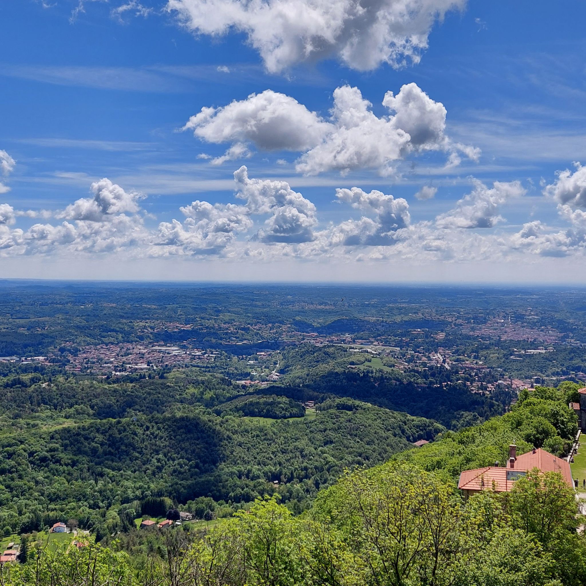
The Monte Martica Classic Loop offers a moderate mountain biking challenge, covering 14.4 miles (23.1 km) with a significant 2411 feet (735 metres) of elevation gain. You can expect to complete this ride in about 2 hours and 32 minutes, navigating through varied terrain within the Parco Regionale Campo dei Fiori. As you climb, you will experience a mix of wooded sections and areas showing signs of past forest fires, creating a dynamic landscape. While the summit of Monte Martica itself is tree-covered, the route provides numerous scenic viewpoints. Look out for Pian Valdes, a specific highlight where you can enjoy expansive panoramic vistas of the Valganna mountains, the Lombard plain, and even the distant Swiss Alps on clear days. This loop is known for its substantial climbs and technically demanding descents, perfect for honing your skills.
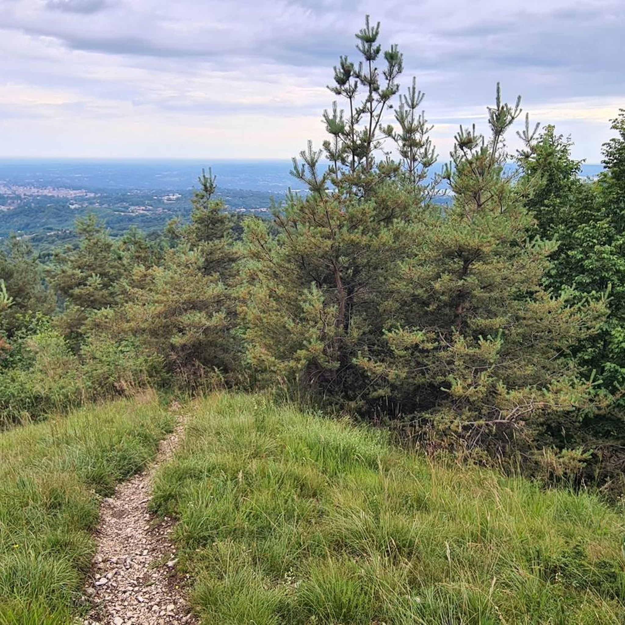
When planning your visit, be aware that the Monte Martica Classic Loop starts on a small road before quickly transitioning to gravel and then rougher, stonier paths as you ascend. The descent features very steep and rocky sections, so be prepared; some riders may find it necessary to dismount in certain areas. Always check local conditions before heading out, especially regarding weather and trail accessibility. This route is popular, so an early start can help you avoid crowds and enjoy the trails more peacefully.
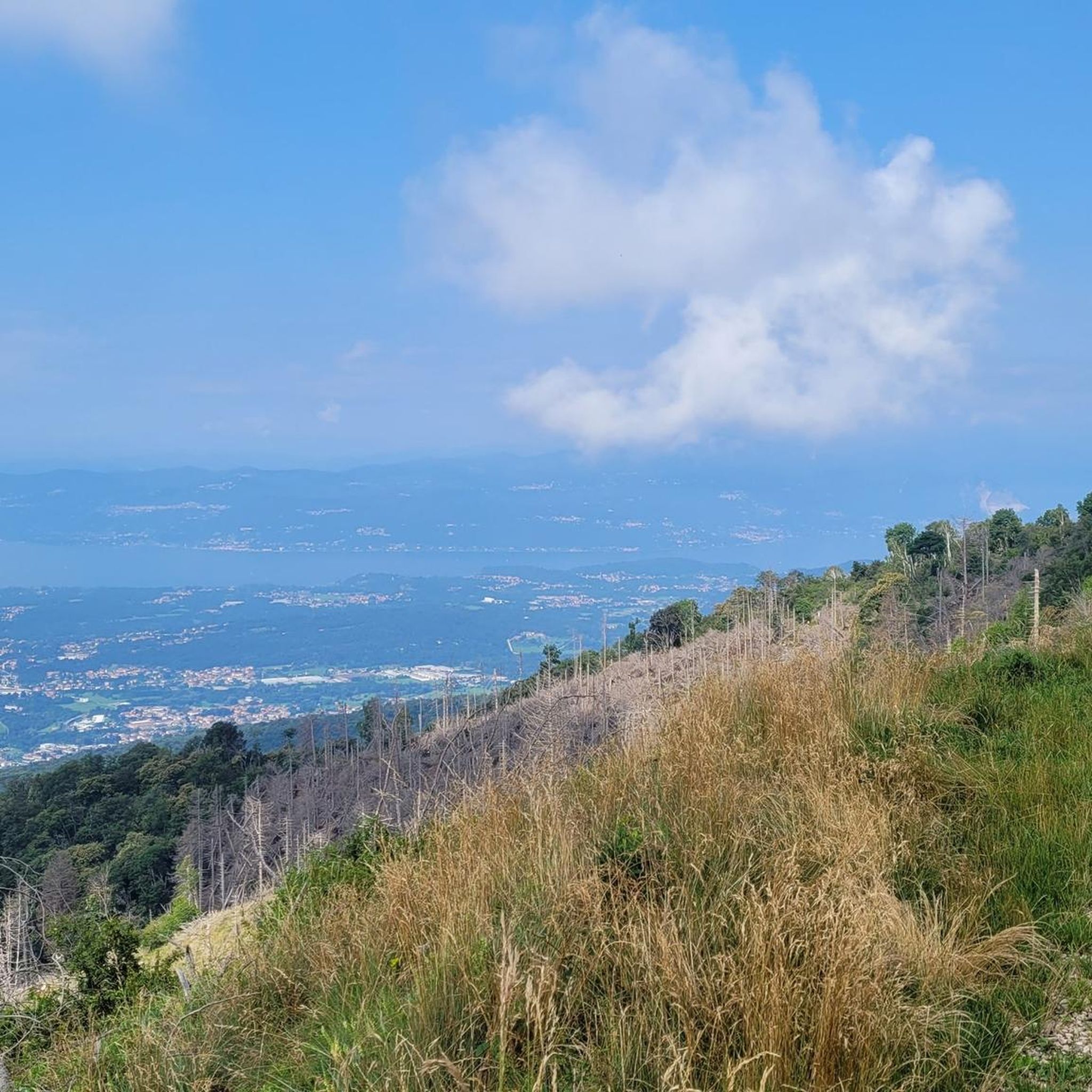
This classic loop incorporates many of Monte Martica's well-known trails into one comprehensive ride, making it a staple for local mountain bikers. The varied landscape, from dense woods to open areas, reflects the natural diversity of the Parco Regionale Campo dei Fiori. The presence of areas recovering from past forest fires adds a unique ecological dimension to your ride. This trail is a fantastic way to explore the region's natural beauty and experience its challenging terrain, offering a rewarding adventure for those seeking a true mountain biking experience.
4.4
(32)
252
riders
36.0km
03:45
1,190m
1,190m
Prepare for a difficult mountain biking challenge on the Forte do Orino e Sacro Monte di Varese da Brinzio trail, covering 22.3 miles (36.0 km) with a significant 3903 feet (1190 metres) of elevation gain. This route typically takes around 3 hours and 44 minutes to complete, demanding good fitness and advanced riding skills. You will climb through wooded areas on paved roads that transition to smooth dirt, leading you towards the historic Forte di Orino. From the fort, you can enjoy expansive panoramic views of the Lakes of Varese, Monate, Comabbio, and Lake Maggiore. The descent includes technical, steep sections in the forest before becoming easier, with some parts featuring challenging single tracks.
As a challenging route, ensure you are well-prepared with appropriate gear and hydration; some demanding sections may require you to push your bike. The trail's wooded sections offer welcome shade, making it a viable option even on warmer days. While specific access details are not provided, the route is a popular choice for experienced mountain bikers in the Varese area, suggesting common starting points are well-known locally. Plan your visit to allow ample time to complete the full distance and elevation.
This route offers a rich blend of natural beauty and historical significance within the Campo dei Fiori Regional Nature Park. You will encounter Forte di Orino, an ancient military fortification, and pass by the Sacro Monte di Varese, a UNESCO World Heritage site. This sacred mountain features fourteen chapels dedicated to the mysteries of the Rosary, leading to the Sanctuary of Santa Maria del Monte. The combination of challenging terrain, historical landmarks, and sweeping lake views makes this a notable ride in the region.

Sign up for free
4.0
(15)
48
riders
36.2km
02:24
460m
460m
Embark on a moderate mountain biking adventure with the Valcuvia e Lago di Ghirla loop, a 22.5-mile (36.2 km) ride that typically takes about 2 hours and 23 minutes. You will gain 1518 feet (463 metres) in elevation as you explore varied terrain, from asphalt and paved roads to natural paths and dirt sections. The route winds through extensive wooded areas near Brinzio and offers picturesque views of the tranquil Lake Ghirla, as well as passages alongside the Olona and Margorabbia rivers and Lago di Ganna.
While this mountain biking route is considered moderate and suitable for various skill levels, good fitness is recommended due to the significant elevation changes. You will encounter untarmacked sections, including a roughly 1-kilometer dirt segment, so a mountain bike or a bicycle with thick tires is advisable. Prepare for a mix of flat sections and demanding climbs as you navigate the diverse landscapes.
This trail is situated within the Parco Naturale Regionale Campo dei Fiori, a protected natural environment known for its natural beauty and diverse cycling routes. As you ride, you will discover unique features like fantastic passages on catwalks near Lake Ghirla and the historic Maglio di Ghirla, an ancient ironworks. The route also passes by the Madonna dei Ciclisti, adding a cultural touch to your journey through this region with easy access to ten lakes.
4.1
(10)
109
riders
14.2km
01:29
370m
370m
Moderate mountain bike ride. Good fitness required. Suitable for all skill levels.
4.3
(3)
43
riders
36.1km
03:17
980m
980m
Hard mountain bike ride. Very good fitness required. Advanced riding skills necessary. Some portions of the route may require you to push your bike.
Get access to more routes and recommendations from other explorers.
Sign up for free
Already have an account?
Our route recommendations are based on thousands of hikes, rides, and runs completed by other people on komoot.
Start today with a free account
Your next adventure awaits.
Login or Signup
Popular around Parco naturale del Campo dei Fiori

Tips from the Community


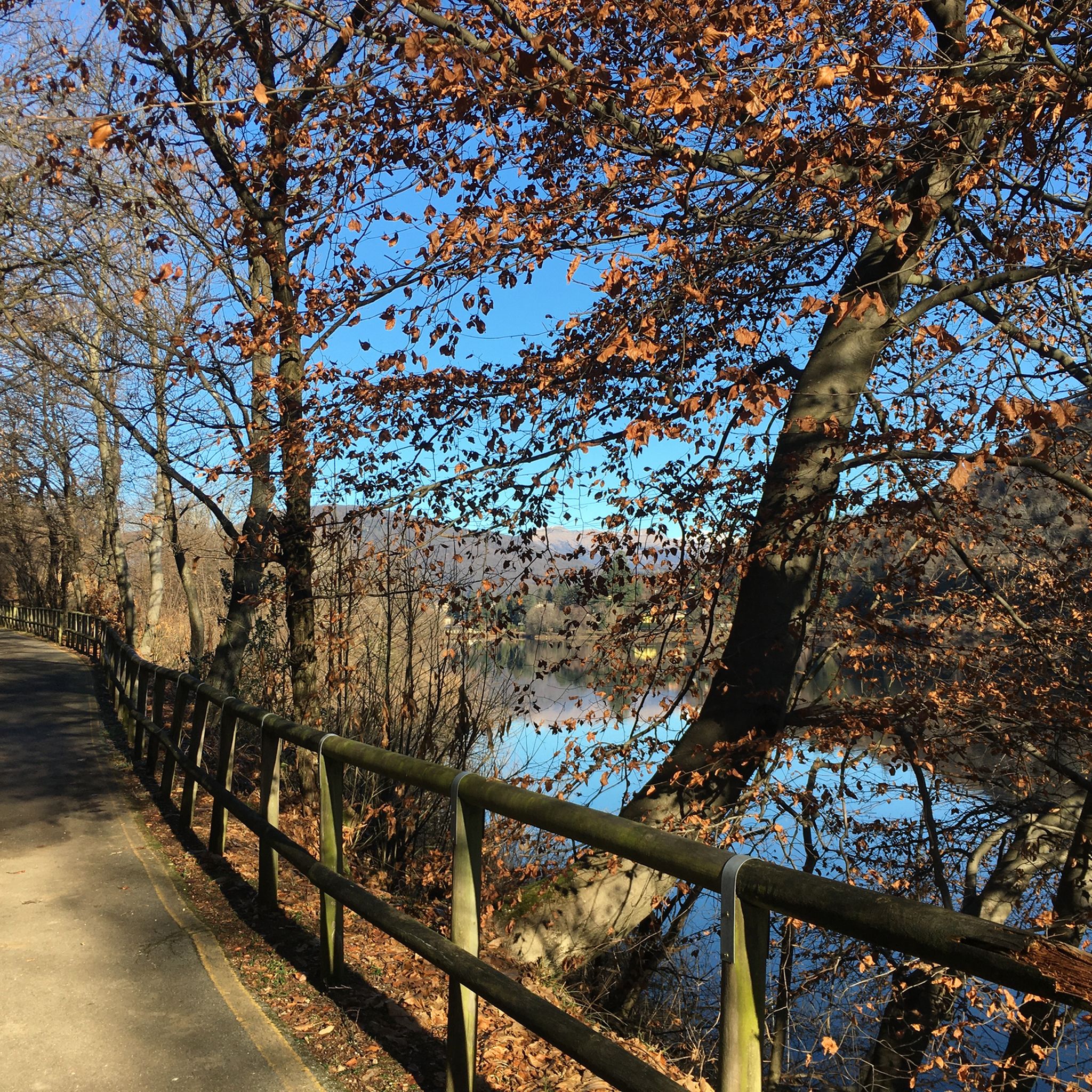
Beautiful cycle path
0
0

It is forbidden to continue cycling here…
0
1

very nice up-and-down cycle path, ideal for gravel; not necessarily suitable for racing bikes
1
0

On the slopes of Mount La Nave, at an altitude of about 800 meters above sea level, the church of San Paolo is located on a panoramic plateau overlooking Lake Lugano and is made of stone. It has a suggestive portico and dates back to the 12th century.
1
0

Frequently Asked Questions
How many mountain bike trails are available in Parco naturale del Campo dei Fiori?
There are nearly 350 mountain bike trails in Parco naturale del Campo dei Fiori. This includes a wide range of options, from easy routes suitable for beginners to challenging paths for experienced riders.
Are there easy mountain bike trails for beginners in Parco naturale del Campo dei Fiori?
Yes, Parco naturale del Campo dei Fiori offers over 60 easy mountain bike trails. These routes are generally less technical and have gentler gradients, making them ideal for beginners or those looking for a relaxed ride. One such route is the Trail to Pian Valdes – Pian Valdes loop from Rasa, which is a moderate 14.15 km trail.
What kind of terrain can I expect on mountain bike trails in Parco naturale del Campo dei Fiori?
The terrain in Parco naturale del Campo dei Fiori is quite varied. You'll find trails winding through dense woodlands, open areas, and along lakeside sections. The region features rolling hills and some challenging ascents, providing a dynamic environment for mountain bikers. Expect a mix of forest paths, singletrack, and gravel roads.
Are there any challenging mountain bike routes for advanced riders?
Absolutely. For experienced mountain bikers seeking a challenge, there are 93 difficult routes in the park. These trails often feature significant climbs, technical descents, and longer distances. An example of a demanding route is the Lake Ghirla – Church of San Paolo loop from Ganna, a 36.1 km trail with considerable elevation gain.
What are some interesting landmarks or viewpoints along the mountain bike routes?
Many trails offer access to stunning natural and historical landmarks. You can find routes that pass by Brinzio Pond or offer views from peaks like Monte Chiusarella. The G.V. Schiaparelli Observatory also provides panoramic views of Lake Maggiore and the Alps.
Are there mountain bike trails suitable for families?
While specific 'family-friendly' designations aren't always explicit, many of the easy and shorter moderate trails can be suitable for families with older children who have some biking experience. Look for routes with less elevation gain and smoother surfaces. Always check the route details on komoot for distance and elevation before heading out with children.
Can I bring my dog on the mountain bike trails?
Generally, dogs are allowed on trails within Parco naturale del Campo dei Fiori, provided they are kept on a leash and you clean up after them. However, it's always best to check specific trail regulations or local signage, as rules can vary. Ensure your dog is fit enough for the distance and terrain you plan to cover.
What is the best time of year for mountain biking in Parco naturale del Campo dei Fiori?
The spring and autumn months are generally ideal for mountain biking in Parco naturale del Campo dei Fiori. The weather is typically milder, and the natural scenery is particularly beautiful. Summer can be pleasant, but some days might be hot, especially on exposed sections. Winter riding is possible, but trails might be muddy, icy, or covered in snow at higher elevations, requiring appropriate gear and caution.
Are there circular mountain bike routes in the park?
Yes, many of the mountain bike trails in Parco naturale del Campo dei Fiori are designed as circular routes, allowing you to start and finish at the same point. This is convenient for parking and logistics. For example, the Trail to Pian Valdes – Pian Valdes loop from Rasa is a circular option.
What do other mountain bikers say about the trails in Parco naturale del Campo dei Fiori?
The mountain bike trails in Parco naturale del Campo dei Fiori are highly rated by the komoot community, with an average score of 4.3 stars from over 2,600 reviews. Riders frequently praise the diverse landscapes, the well-maintained paths, and the variety of options catering to different skill levels, from flowing forest trails to challenging climbs with rewarding views.
Is there public transport access to the mountain bike trailheads?
While some trailheads might be accessible by local bus services, public transport options can be limited, especially for reaching more remote starting points within the natural park. It's advisable to research specific bus routes and schedules in advance if you plan to rely on public transport. Many riders opt to drive and park near their chosen trailhead.
Where can I find parking for mountain biking in Parco naturale del Campo dei Fiori?
Parking availability varies depending on the specific trailhead. Many villages and popular starting points around the park, such as Brinzio or Rasa, offer designated parking areas. It's recommended to check the starting point of your chosen route on komoot or a local map for information on nearby parking facilities.
Most popular routes around Parco naturale del Campo dei Fiori
Most popular attractions around Parco naturale del Campo dei Fiori

Get inspired with the komoot mobile app


Explore more
Browse the best MTB trails in other regions.
