The best mountain hikes around Natural Park Orsiera - Rocciavre'
4.3
(6)
92
hikers
6
hikes
Mountaineering routes Natural Park Orsiera - Rocciavre' traverse a landscape characterized by rugged alpine peaks, high mountain passes, and serene lakes. The region, part of the Cottian Alps, features varied terrain from forested valleys to exposed rocky ridges. Elevations range significantly, offering diverse challenges for mountaineers. This natural park provides a setting for routes that demand navigation and endurance.
Best mountaineering routes around Natural Park Orsiera - Rocciavre'
- The most popular mountaineering route is Jouglard bivouac – Selleries Hut loop…
Last updated: October 10, 2026
12
hikers
10.4km
03:26
490m
490m
Moderate mountaineering route. Good fitness required. Easily-accessible paths. Suitable for all skill levels.
6
hikers
14.9km
06:49
1,080m
1,080m
Hard mountaineering route. Very good fitness required. Sure-footedness, sturdy shoes and alpine experience required.

3
hikers
11.4km
05:07
800m
800m
Hard mountaineering route. Very good fitness required. Sure-footedness, sturdy shoes and alpine experience required.
4.6
(5)
41
hikers
9.08km
04:29
810m
810m
Moderate mountaineering route. Good fitness required. Mostly accessible paths. Sure-footedness required.
5
hikers
8.81km
05:04
900m
900m
Hard mountaineering route. Very good fitness required. Sure-footedness, sturdy shoes and alpine experience required.
Our route recommendations are based on thousands of hikes, rides, and runs completed by other people on komoot.
Start today with a free account
Your next adventure awaits.
Popular around Natural Park Orsiera - Rocciavre'
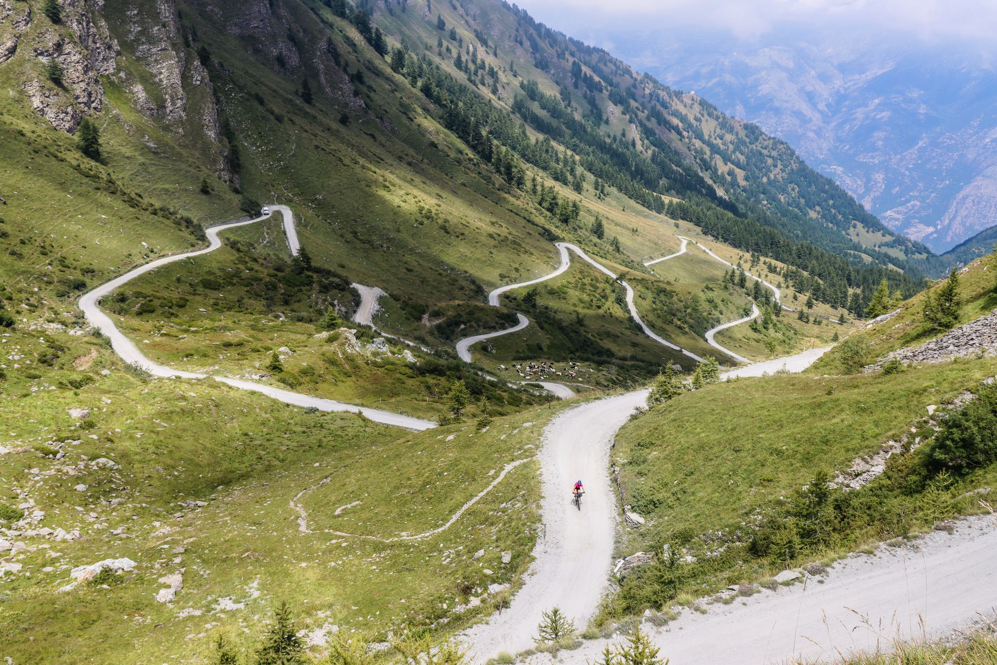
Colle del Colombardo and the Colle delle Finestre — Two of the Italian gravel giants
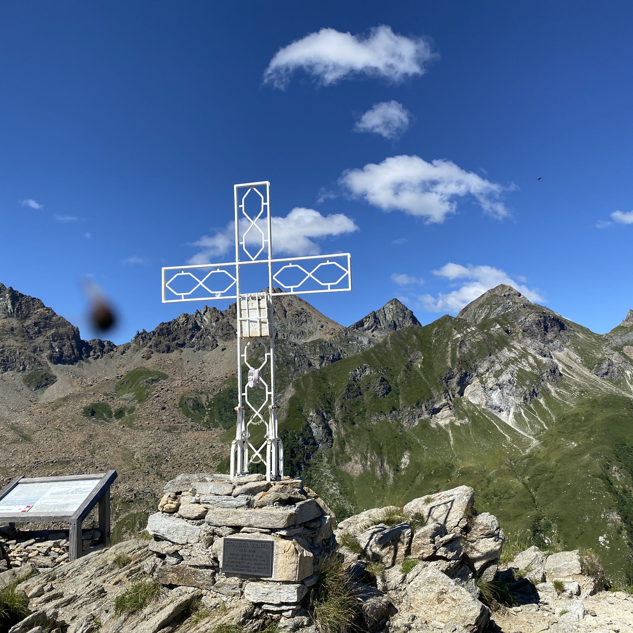
Hiking around Natural Park Orsiera - Rocciavre'
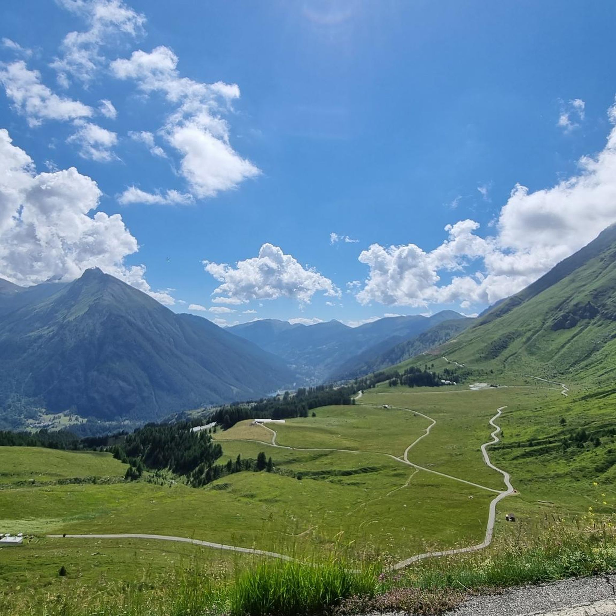
Running Trails around Natural Park Orsiera - Rocciavre'
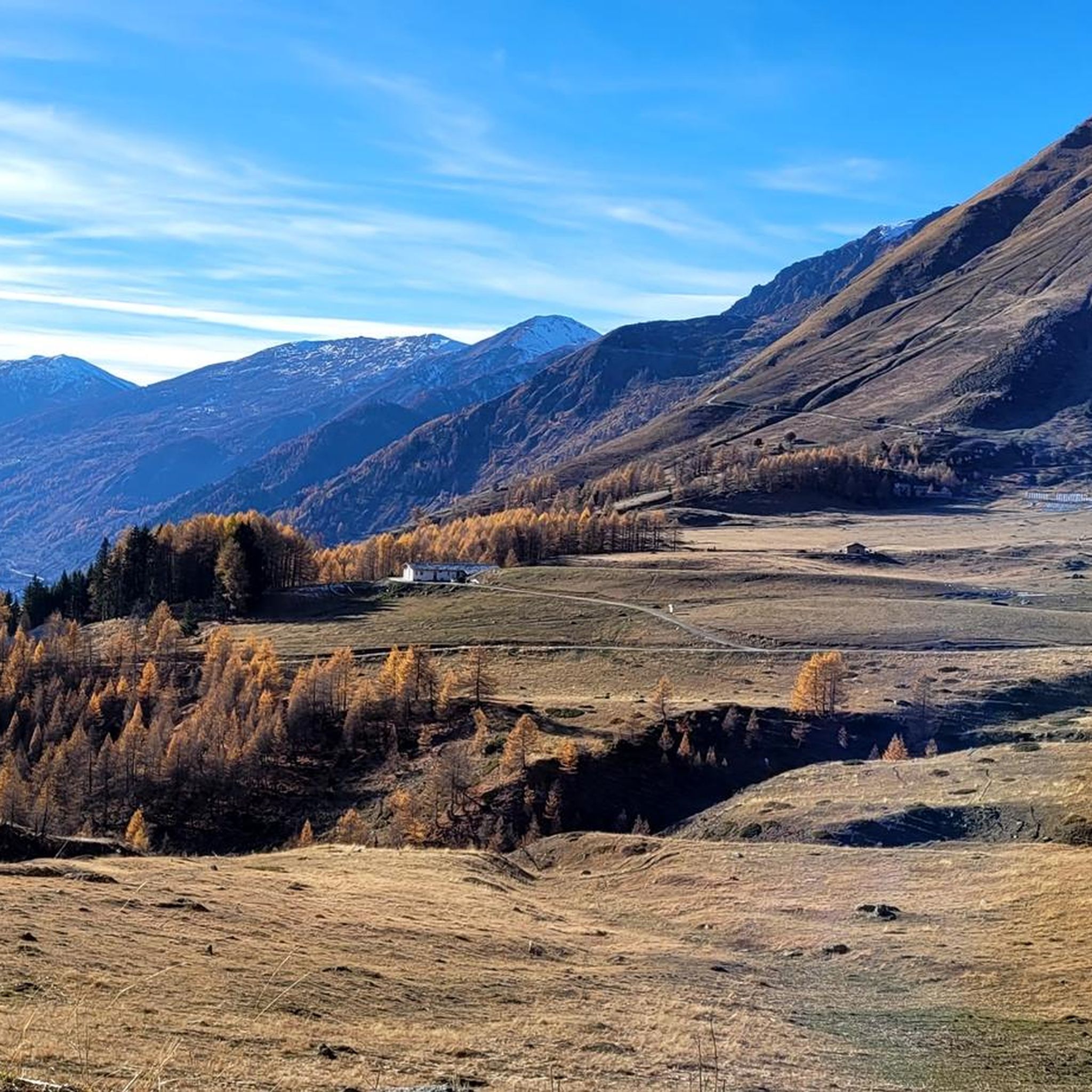
Cycling around Natural Park Orsiera - Rocciavre'
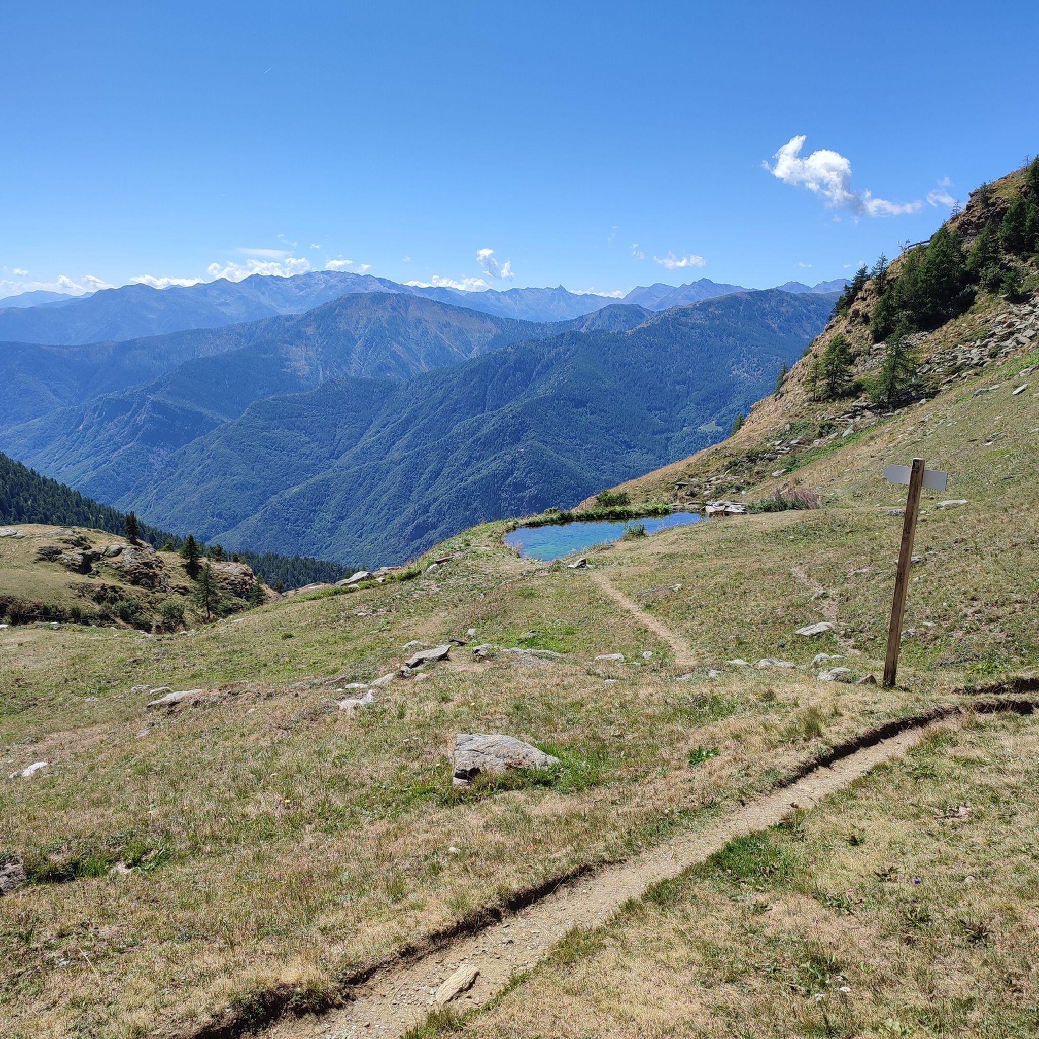
MTB Trails around Natural Park Orsiera - Rocciavre'
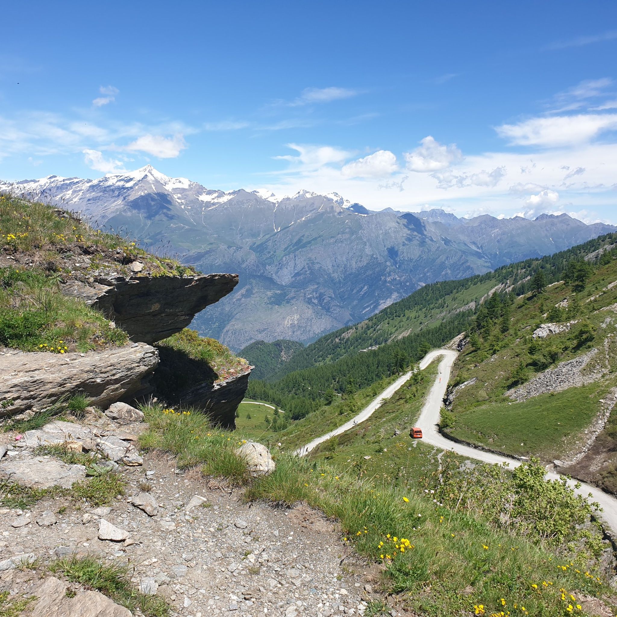
Road Cycling Routes around Natural Park Orsiera - Rocciavre'

Gravel biking around Natural Park Orsiera - Rocciavre'
Other adventures around Natural Park Orsiera - Rocciavre'

Tips from the Community

Once we reach the end of the road, the Eagle monument confirms that we've made it. It deserves praise just for that. And besides, it looks good on its own.
0
0

beautiful refuge in the Selleries valley
0
0

The Selleries refuge is located in the municipality of Roure (TO), in the Chisone valley, in the Cottian Alps, at 2,035 m above sea level. It can be easily reached by mountain bike from the paved road, but also on foot. The craft beers are excellent.
0
0

Massimo is one of the best and kindest refugee managers I have ever met.
1
0

Accessible from multiple directions, both on asphalt and trail. Ideal stopping point
1
0
In the Orsiera Rocciavrè park. Reachable only by paths, not all of which are ideal for MTB. The effort is rewarded by this splendid place.
1
0


Frequently Asked Questions
What are the typical difficulty levels for mountaineering routes in Natural Park Orsiera - Rocciavre'?
Mountaineering in Natural Park Orsiera - Rocciavre' primarily features moderate to difficult routes. There are 2 moderate routes and 7 difficult routes, offering challenges for experienced mountaineers. The terrain often includes rugged alpine peaks and exposed ridges.
Are there any circular mountaineering routes available in Natural Park Orsiera - Rocciavre'?
Yes, Natural Park Orsiera - Rocciavre' offers several circular routes. For example, you can explore the Jouglard bivouac – Selleries Hut loop from Grange, which is a moderate 6.5-mile trail connecting two mountain shelters. Another option is the more challenging Lago della Manica – Colle Superiore di Malanotte loop from Parco Naturale Orsiera-Rocciavrè, covering 4.1 miles through high alpine terrain.
What kind of wildlife might I encounter while mountaineering in Natural Park Orsiera - Rocciavre'?
Natural Park Orsiera - Rocciavre' is home to diverse alpine wildlife. Keep an eye out for chamois and ibex on the rocky slopes, marmots in the high meadows, and various bird species, including eagles and buzzards, soaring overhead. Observing wildlife from a distance helps preserve their natural habitat.
What are some notable landmarks or points of interest along the mountaineering routes?
Along the mountaineering routes, you can discover several significant landmarks. Highlights include mountain passes like Colle La Rossa and Colle dell'Orsiera (2,595 m). You might also encounter mountain huts such as Amprimo Mountain Hut and Selleries Hut, which offer shelter and often refreshments.
Is parking generally available at the trailheads for mountaineering routes?
Parking is typically available near the starting points of popular mountaineering routes within Natural Park Orsiera - Rocciavre'. However, spaces can be limited, especially during peak season or on weekends. It's advisable to arrive early to secure a spot, particularly for routes that start from smaller villages or remote areas.
Are there any specific permits required for mountaineering in Natural Park Orsiera - Rocciavre'?
Generally, permits are not required for standard mountaineering activities within Natural Park Orsiera - Rocciavre'. However, it's always recommended to check the official park regulations before your trip, especially if you plan to engage in specific activities like bivouacking or accessing particularly sensitive ecological zones.
What is the best time of year for mountaineering in Natural Park Orsiera - Rocciavre'?
The best time for mountaineering in Natural Park Orsiera - Rocciavre' is typically from late spring to early autumn (June to September). During these months, the snow has usually melted from higher elevations, and the weather conditions are generally more stable, offering clearer paths and better visibility. Always check local weather forecasts before heading out.
Are there any routes suitable for beginners or those new to mountaineering?
The mountaineering routes in Natural Park Orsiera - Rocciavre' are predominantly rated as moderate to difficult, with no easy routes listed. While some moderate trails like the Punta dell'Aquila Summit Cross loop from Alpe Colombino might be accessible to fit beginners with some experience, most routes require a good level of fitness and prior mountaineering knowledge due to the rugged terrain and significant elevation changes.
What do other mountaineers enjoy most about the routes in Natural Park Orsiera - Rocciavre'?
The komoot community highly rates the mountaineering experience in Natural Park Orsiera - Rocciavre', with an average score of 4.3 stars from 9 reviews. Mountaineers often praise the challenging summit ascents, the stunning high alpine terrain, and the serene beauty of alpine lakes like Frogs' Paradise Lake.
Can I bring my dog on the mountaineering trails in Natural Park Orsiera - Rocciavre'?
Natural Park Orsiera - Rocciavre' generally allows dogs on trails, but they must be kept on a leash to protect wildlife and ensure the safety of other hikers. Some specific areas or nature reserves within the park might have stricter regulations, so it's best to check local signage or the park's official guidelines before your visit.
Are there any longer, more challenging mountaineering expeditions available?
For those seeking a more demanding experience, the park offers longer and more challenging routes. The Lago della Manica – Colle Superiore di Malanotte loop from Cianfulcre is a difficult 9.1-mile route with over 1000 meters of elevation gain, providing a significant test of endurance and skill. Another challenging option is the Rocca Patanua loop from Maffiotto.
Most popular routes around Natural Park Orsiera - Rocciavre'
Most popular attractions around Natural Park Orsiera - Rocciavre'

Get inspired with the komoot mobile app


Explore more
Browse the best Mountain Hikes & Routes in other regions.
