The best mountain hikes around Parco naturale Laghi di Avigliana
4.4
(14)
186
hikers
12
hikes
Mountaineering around Parco naturale Laghi di Avigliana offers routes through varied terrain, characterized by significant elevation changes and forested slopes. The region features natural lakes and prominent rock formations, providing diverse landscapes for exploration. These routes often include challenging ascents and descents, typical of mountainous environments.
Best mountaineering routes around Parco naturale Laghi di Avigliana
- The most popular mountaineering route is Cesana Tibetan Bridge loop from Sant'Ambrogio di Torino, a 3.8 miles (6.2 km) trail that takes 4 hours…
Last updated: May 24, 2026
4.8
(10)
112
hikers
Hard mountaineering route. Good fitness required. Sure-footedness, sturdy shoes and alpine experience required.
5.0
(1)
8
hikers
Hard mountaineering route. Good fitness required. Sure-footedness, sturdy shoes and alpine experience required.

Sign up for free
11
hikers
3.89km
02:25
460m
460m
Hard mountaineering route. Good fitness required. Sure-footedness, sturdy shoes and alpine experience required.
5.0
(1)
3
hikers
3.14km
02:01
370m
370m
Hard mountaineering route. Good fitness required. Sure-footedness, sturdy shoes and alpine experience required.
5
hikers
4.86km
02:30
430m
430m
Hard mountaineering route. Good fitness required. Sure-footedness, sturdy shoes and alpine experience required.
Get access to more routes and recommendations from other explorers.
Sign up for free
Already have an account?
Our route recommendations are based on thousands of hikes, rides, and runs completed by other people on komoot.
Start today with a free account
Your next adventure awaits.
Login or Signup
Popular around Parco naturale Laghi di Avigliana
Via Francigena in Valle di Susa – complete route and 'for all' section
Road Cycling Routes around Parco naturale Laghi di Avigliana
Hiking around Parco naturale Laghi di Avigliana
Cycling around Parco naturale Laghi di Avigliana
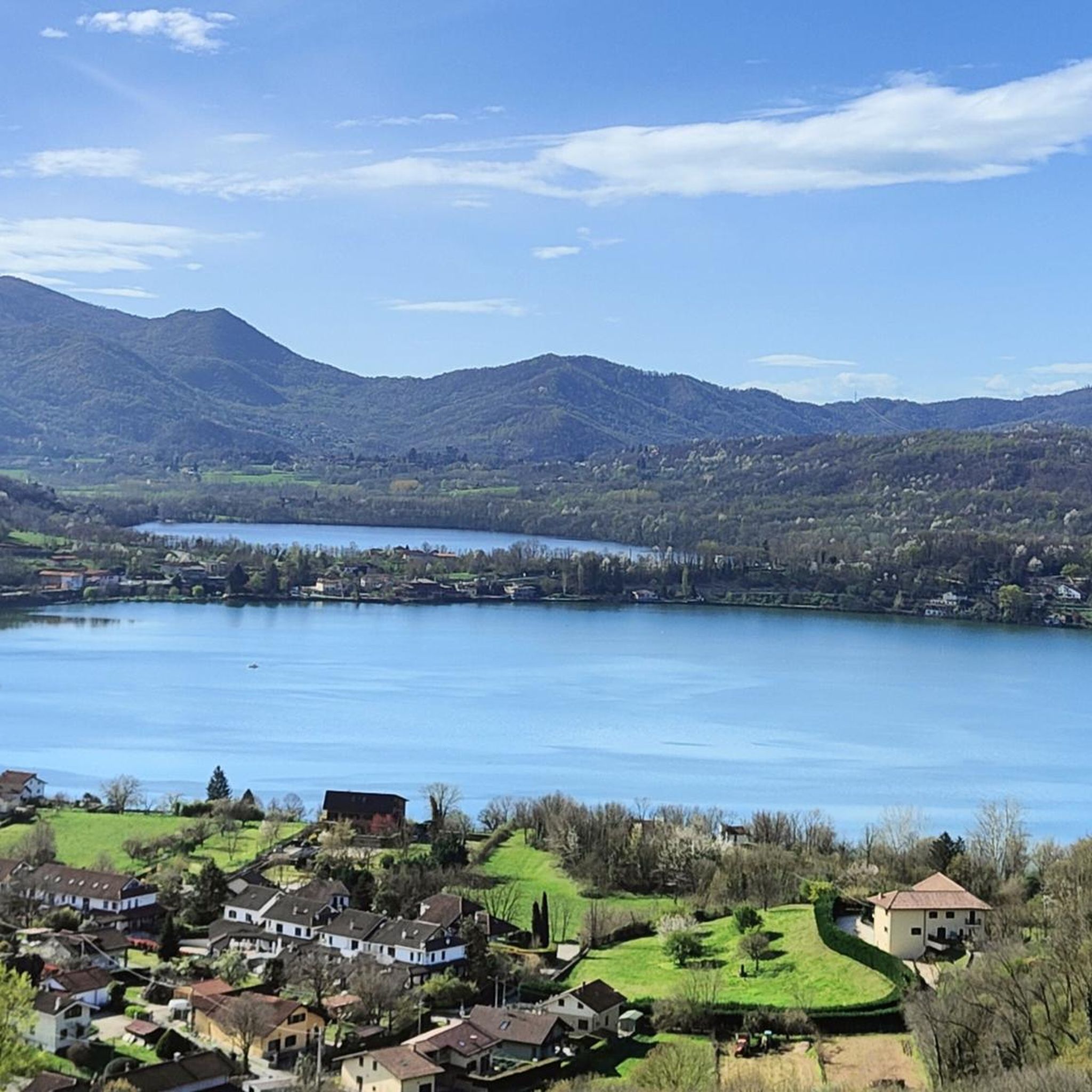
MTB Trails around Parco naturale Laghi di Avigliana
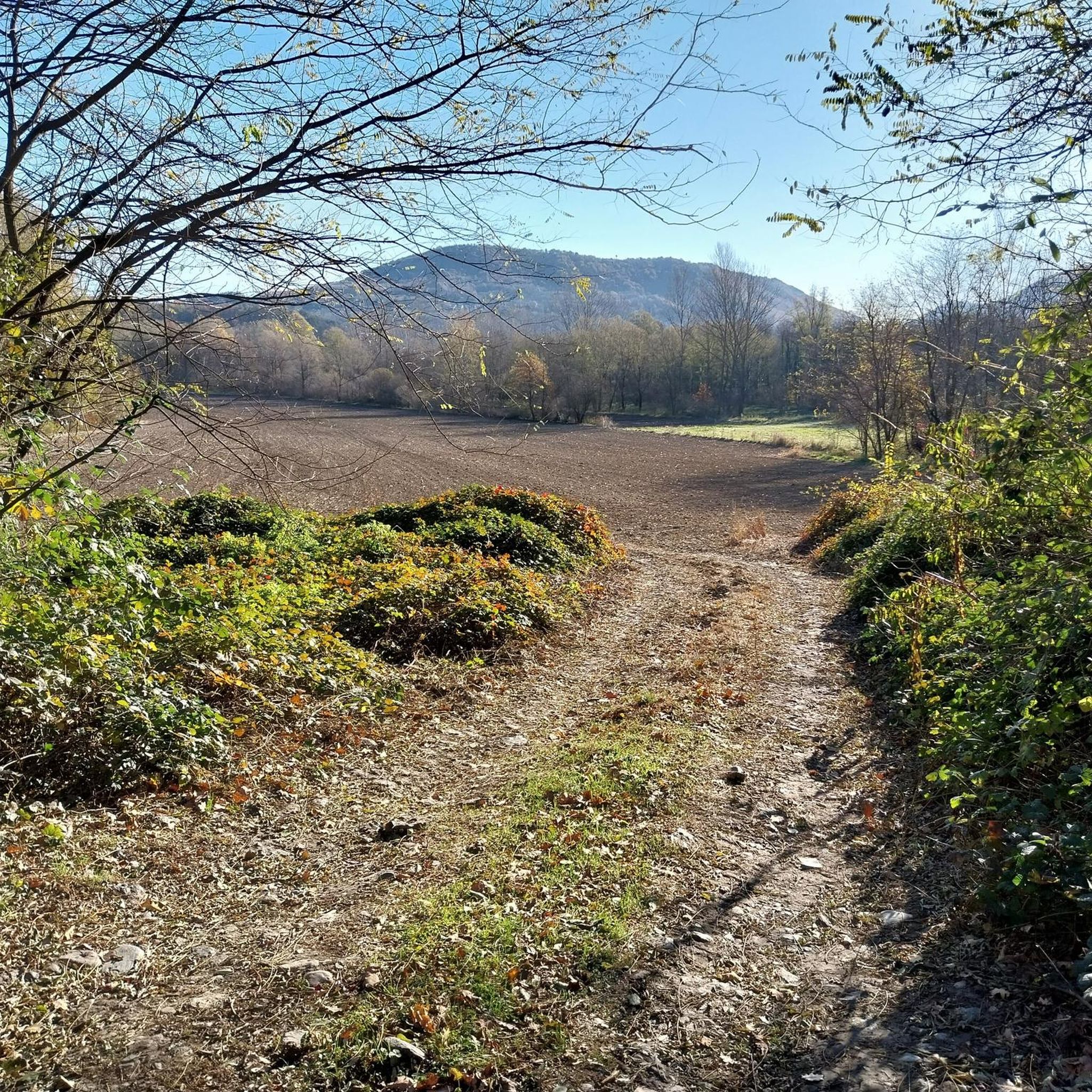
Running Trails around Parco naturale Laghi di Avigliana

Gravel biking around Parco naturale Laghi di Avigliana
Other adventures around Parco naturale Laghi di Avigliana

Tips from the Community

Panoramic destination, 360* panorama in Piossasco
0
0

Small stone church right at the highest point of Mount San Giorgio
1
0

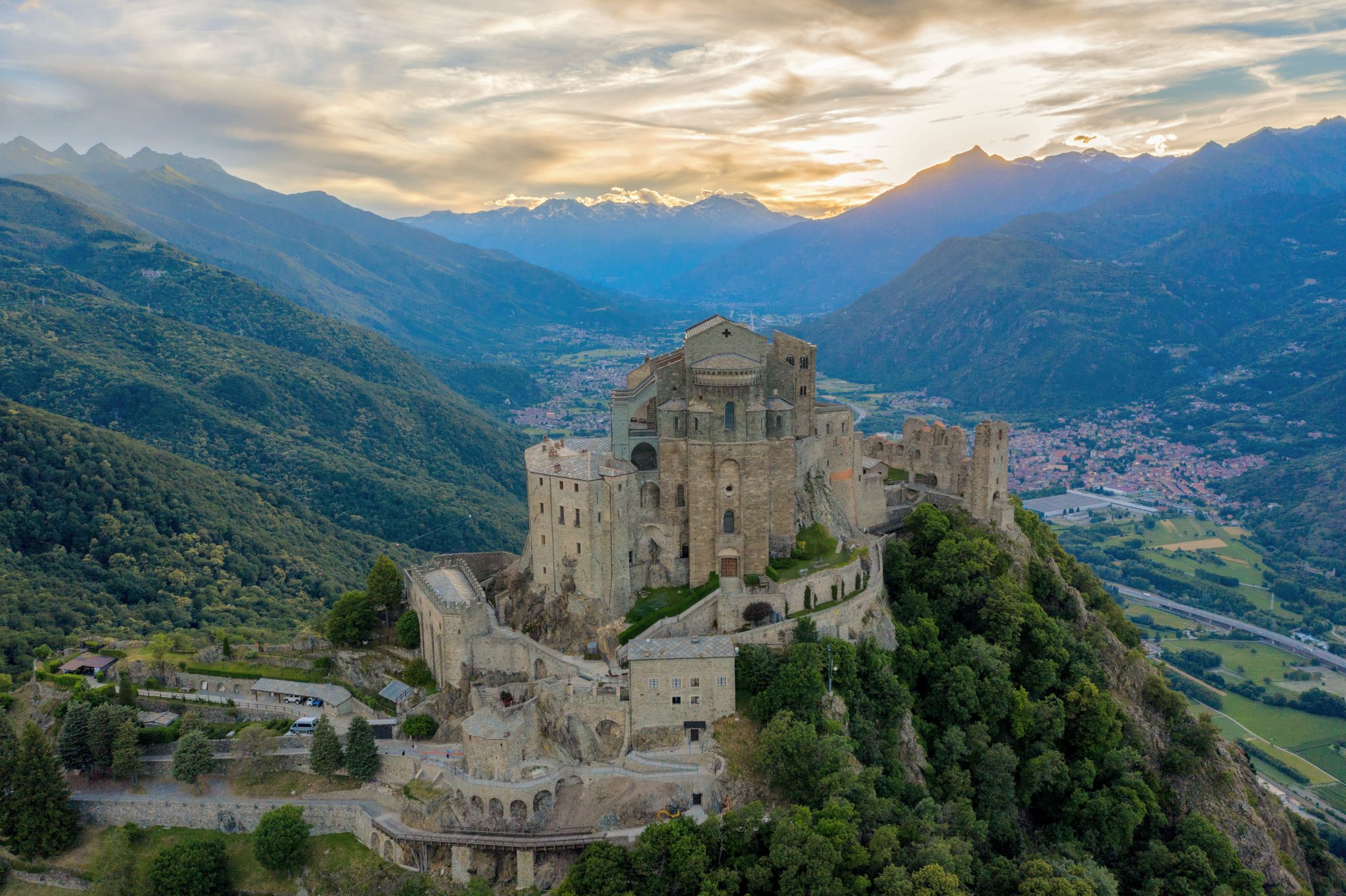
A grand 13th-century abbey, with walls as strong as the faith of its founders, evocative for its location and history, it's definitely worth a visit. A little trivia: Umberto Eco drew inspiration from this place for the setting of his masterpiece.
4
0

Steep climb to the hamlet of San Pietro, which can become a real Stations of the Cross if you get too excited! Beautiful views of San Michele and wonderful woods.
0
0
Stunning view of Piossasco from the top of Monte San Giorgio
0
0
Dirt road from Piossasco to the chapel of San Valeriano. Significant slope, but very healthy surface without particular technical difficulties. At the top, beautiful view of the plain.
0
0

Beautiful Tibetan bridge on the Giorda Sacra San Michele via ferrata. First part is unsteady, then after the first "U" it becomes more stable
1
0

Starting point for trekking trails
0
0
Frequently Asked Questions
What is the typical difficulty of mountaineering routes in Parco naturale Laghi di Avigliana?
Mountaineering routes in Parco naturale Laghi di Avigliana are primarily rated as moderate to difficult. There are 4 moderate routes and 10 difficult routes, making it a suitable area for experienced mountaineers or those looking for a challenge.
Are there any family-friendly mountaineering routes in Parco naturale Laghi di Avigliana?
Given the prevalence of moderate to difficult routes, Parco naturale Laghi di Avigliana is generally more suited for experienced mountaineers. There are no routes specifically classified as easy, so families with young children or beginners might find the terrain challenging.
What kind of terrain can I expect on mountaineering routes in Parco naturale Laghi di Avigliana?
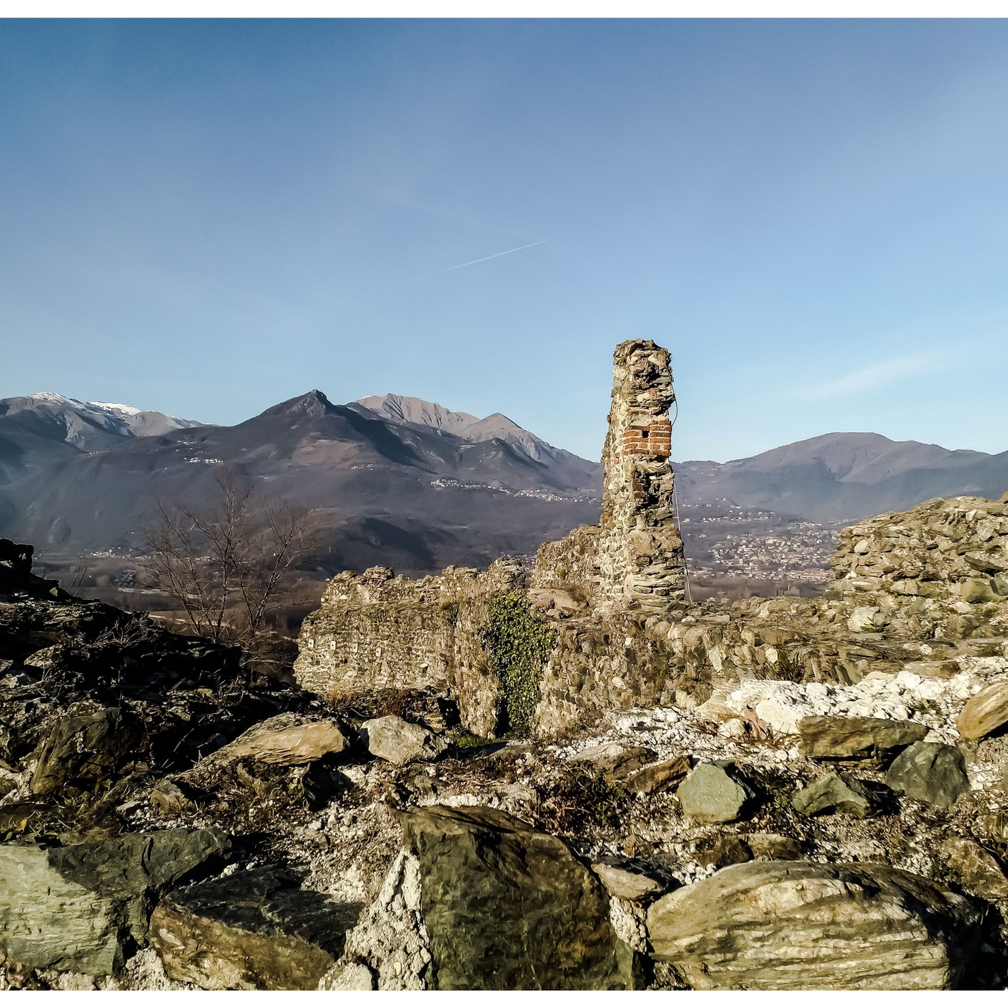
You can expect varied terrain characterized by forested slopes, rocky outcrops, and significant elevation changes. Many routes offer scenic lake views and pass by prominent rock formations.
Are there any circular mountaineering routes in the area?
Yes, several routes in Parco naturale Laghi di Avigliana are circular. For example, you could explore the Rocca Bianca loop from Caprie, which offers views of the Rocca Bianca formation, or the Mountaineering loop from Caprie, which leads through varied mountain terrain.
What are some interesting natural attractions or landmarks to see while mountaineering?
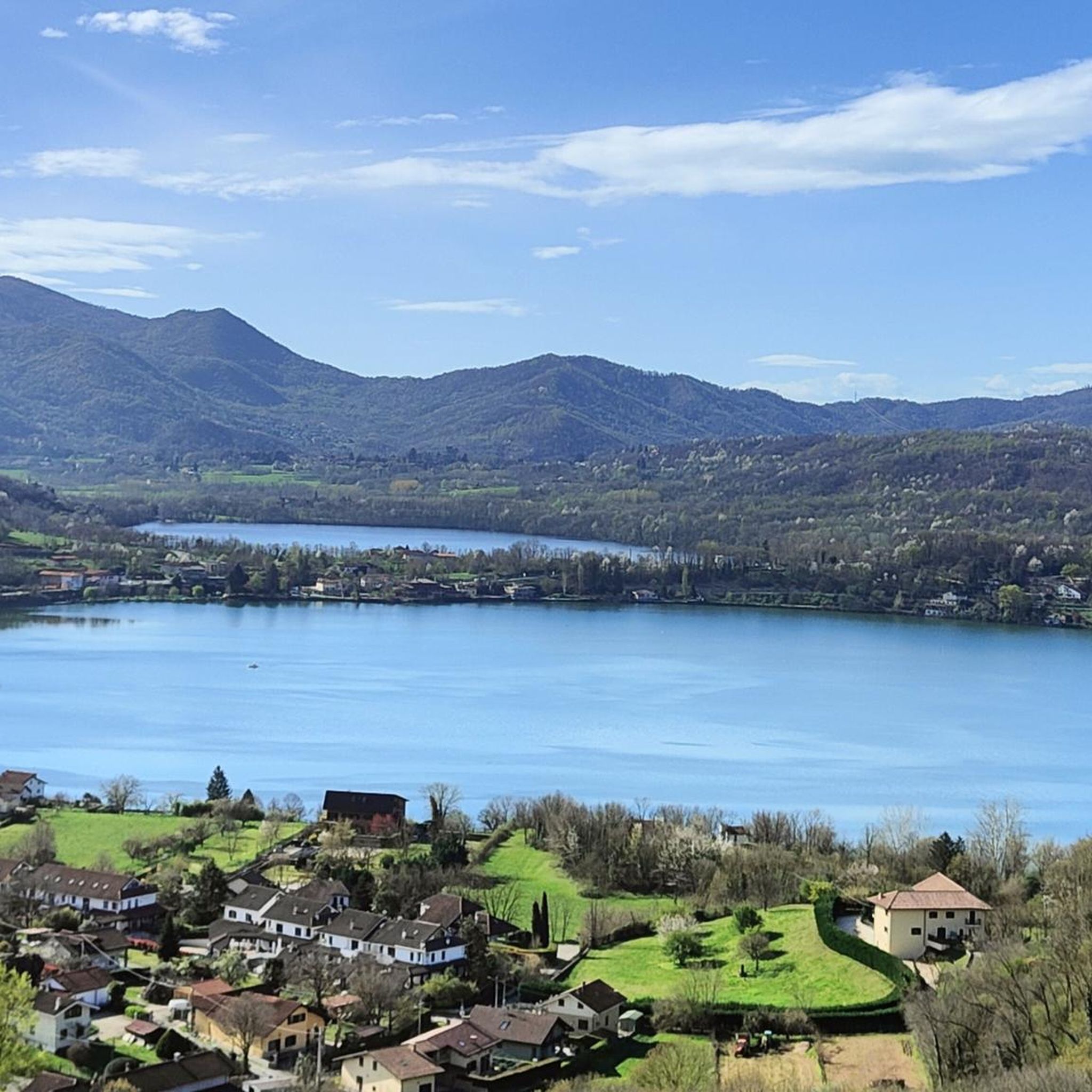
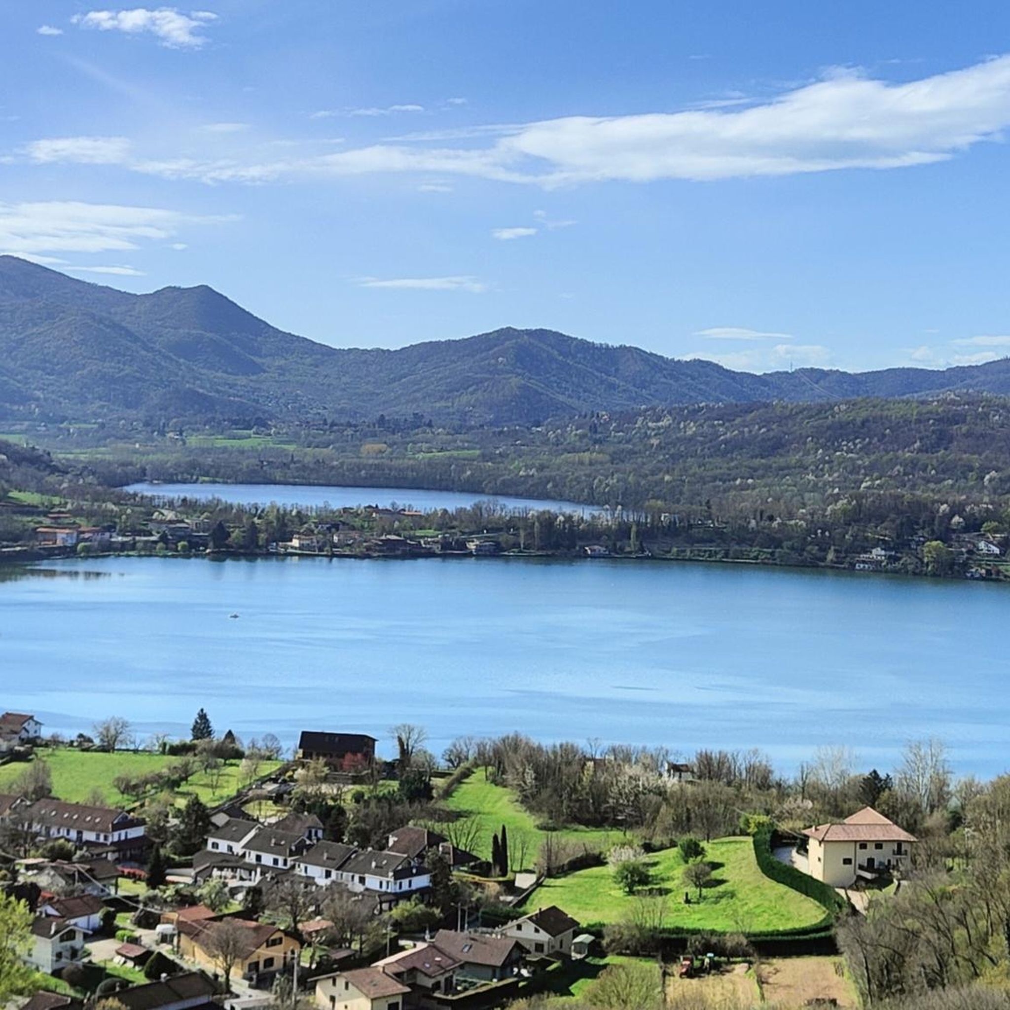
While mountaineering, you'll be close to several natural and historical landmarks. You can find beautiful views of the Small Lake of Avigliana and Lago Grande di Avigliana. The historic Avigliana Castle is also a notable point of interest in the vicinity.
How many mountaineering routes are available in Parco naturale Laghi di Avigliana?
There are 14 mountaineering routes available for exploration in Parco naturale Laghi di Avigliana, offering a good selection for various preferences within the moderate to difficult range.
What do other mountaineers enjoy most about the routes in Parco naturale Laghi di Avigliana?
The area is highly rated by the komoot community, with an average score of 4.4 stars from over 10 reviews. Mountaineers often praise the varied terrain, the challenging ascents, and the scenic views of the lakes and rock formations.
Are there any longer mountaineering routes for extended adventures?
For a longer mountaineering experience, consider the Cesana Tibetan Bridge loop from Sant'Ambrogio di Torino. This route spans approximately 6.2 km (3.8 miles) and typically takes around 4 hours and 24 minutes to complete, featuring a notable Tibetan Bridge crossing.
What is the best season for mountaineering in Parco naturale Laghi di Avigliana?
The best season for mountaineering in Parco naturale Laghi di Avigliana is generally from spring to autumn. During these months, the weather is more stable, and trails are typically free of snow, making for safer and more enjoyable conditions. Always check local weather forecasts before heading out.
Are there any routes that lead to mountain refuges or shelters?
Yes, there are routes that incorporate mountain refuges. For instance, the Rifugio Rocca Sella loop from Caprie is a challenging route that includes the Rifugio Rocca Sella, offering a potential stop or destination during your mountaineering trip.
What are the elevation changes like on these mountaineering routes?
Mountaineering routes in Parco naturale Laghi di Avigliana feature significant elevation changes, typical of mountainous environments. For example, the Cesana Tibetan Bridge loop involves an ascent of nearly 530 meters (1,739 feet).
Is it possible to spot wildlife while mountaineering in the park?
Parco naturale Laghi di Avigliana is a protected area, and while specific wildlife sightings cannot be guaranteed, the diverse forested and rocky habitats provide opportunities to observe local fauna. Keeping quiet and observant increases your chances of spotting various bird species or other small animals native to the region.
Most popular routes around Parco naturale Laghi di Avigliana
Most popular attractions around Parco naturale Laghi di Avigliana

Get inspired with the komoot mobile app


Explore more
Browse the best Mountain Hikes & Routes in other regions.
