The best walks and hikes around Parco Nazionale dei Monti Sibillini
4.5
(5016)
26,681
hikers
518
hikes
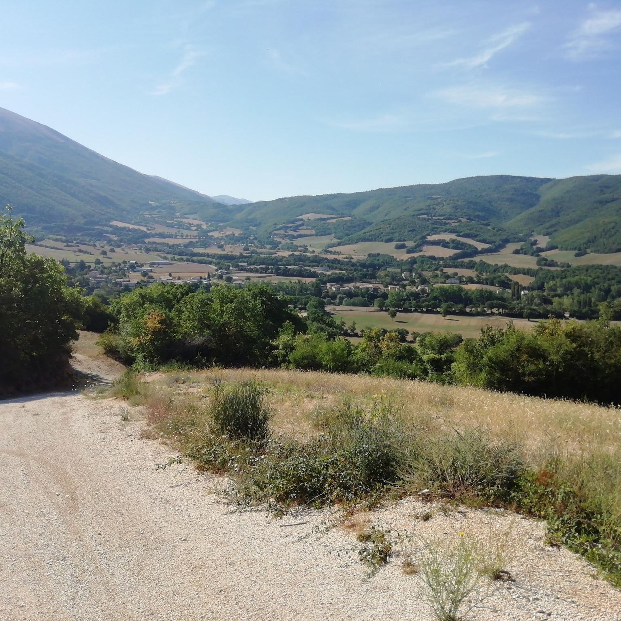
Hiking around Parco Nazionale dei Monti Sibillini offers diverse terrain, from rugged peaks to extensive high-altitude plateaus and lush forests. The region is characterized by the Apennine range, featuring ten peaks above 2,000 meters, including Monte Vettore at 2,476 meters. Deep valleys and dramatic gorges, such as the Gole dell'Infernaccio, cut through the mountainous landscape, providing varied hiking experiences.
Best hiking trails around Parco Nazionale dei Monti Sibillini
- The most popular hiking route is Monte Vettore from Forca di Presta Trail, a 6.4 miles (10.2 km) difficult trail that takes 4 hours 18 minutes to complete. This route ascends to Monte Vettore, offering expansive views.
- Another top favourite among local hikers is Monte Sibilla Loop, a difficult 7.6 miles (12.3 km) path. This loop explores the area around Monte Sibilla, a peak steeped in local legends.
- Local hikers also love the Lame Rosse Trail, a 6.9 miles (11.1 km) trail leading through the Lame Rosse natural monument, often completed in about 3 hours 47 minutes.
- Hiking around Parco Nazionale dei Monti Sibillini is defined by rugged peaks, high-altitude plateaus, dramatic gorges, and diverse forests. The network offers options for easy, moderate, and difficult ability levels.
- The routes in Parco Nazionale dei Monti Sibillini are highly rated by the komoot community with an average score of 4.5 stars from over 3,600 reviews. More than 20,000 hikers have used komoot to explore Parco Nazionale dei Monti Sibillini's varied terrain.
Last updated: August 30, 2026
4.7
(266)
1,499
hikers
10.2km
04:19
900m
900m
If you are looking for a challenging high-mountain hike, the Monte Vettore from Forca di Presta Trail is a difficult route that covers 6.3 miles (10.2 km). You will gain 2961 feet (903 metres) in elevation, typically taking around 4 hours and 18 minutes to complete. As you ascend, you will experience a rugged, open landscape, offering expansive views over the vast Piano Grande of Castelluccio and the broader Monti Sibillini mountain range. The trail leads you past landmarks like the Zilioli Memorial Cross, providing a sense of achievement as you make your way towards the summit of Monte Vettore.
Before you set out, check current conditions, as snow can obscure the path even when it is generally well-marked. Be prepared for strong winds, especially at the summit. Remember that the Monti Sibillini National Park has strict regulations; this means no dogs, no littering, and no fires are permitted. There are generally no water points along the route, so carry enough supplies for the entire duration.
This high-mountain trek offers a unique perspective of the Monti Sibillini National Park. On clear days, the panoramic views from the trail can extend far beyond the immediate peaks, potentially allowing you to spot the Adriatic Sea and even the Gran Sasso mountains in the distance. The route provides a rewarding experience for hikers who are in good physical condition and appreciate the solitude of a challenging mountain environment.
4.7
(107)
524
hikers
12.3km
04:49
610m
610m
The Monte Sibilla Loop offers a challenging hiking experience through varied terrain, leading you to spectacular 360-degree views. You'll begin with a steep climb towards Mount Zampa, feeling the effort as you gain elevation. After this initial ascent, the route eases into a panoramic ridge walk, where the landscape opens up around you. This difficult hike covers 7.6 miles (12.3 km) and involves a significant elevation gain of 2003 feet (610 metres). Expect to spend around 4 hours and 48 minutes completing the full loop, immersed in the natural beauty of the Sibillini Mountains.
To start your adventure, head to Rifugio Sibilla, which serves as a convenient trailhead for the Monte Sibilla Loop. It's wise to plan your visit carefully, especially if you're considering hiking outside the warmer seasons. During winter months, the trail can become slippery, icy, and even impassable due to heavy snow. Always check current conditions before you go to ensure a safe and enjoyable experience. Starting early in the day is often recommended to allow ample time for the full duration of the hike.
From the summit of Monte Sibilla, you'll be rewarded with expansive vistas that highlight the region's unique geography. On clear days, you can clearly see the dramatic Infernaccio Gorge, the imposing Monte Priora, and even catch a glimpse of the Adriatic Sea in the distance. The area is particularly vibrant with wildflowers, various bird species, and butterflies, especially between May and July. This rich biodiversity adds another layer of appeal to the challenging yet rewarding journey through the Parco Nazionale dei Monti Sibillini.

Sign up for free
4.6
(86)
389
hikers
The hike from Rubiano to the Eremo di San Leonardo al Volubrio is a moderate 6.8-mile (10.9 km) journey with 1132 feet (345 metres) of elevation gain, taking about 3 hours and 33 minutes to complete. You will start on varied terrain, including paved roads and unpaved paths, leading to the small waterfalls of Pisciarelle. The route then takes you through the impressive Gole dell'Infernaccio, a narrow gorge with sheer rock walls. As you climb, you enter a dense forest filled with yews, maples, and beech trees, offering a deep immersion in nature. The hermitage itself sits at 1128 meters above sea level, providing panoramic views. This trail is generally considered moderate, requiring good physical fitness and sure-footedness. Some parts of the trail involve a steeper ascent after the gorge. You will find the path to the hermitage was restored and reopened in 2018, ensuring access to this historic site. The hermitage structure has also been secured following past damage, making it a safe destination for your visit. For those who wish to extend their adventure, the hidden Rio waterfall is also accessible nearby. The primary destination, the Eremo di San Leonardo al Volubrio, is an ancient monastery beautifully restored by Padre Pietro Lavini, a Cappuccino friar who dedicated 40 years to its rebuilding. This spiritual site attracts not only hikers but also pilgrims seeking peace and solace. The journey through the Gole dell'Infernaccio is considered one of the most captivating excursions in the Monti Sibillini, making this route a notable experience in the region.
4.7
(96)
767
hikers
9.37km
04:13
830m
830m
Embark on a difficult hike from Forca di Presta to Cima del Lago, a challenging route that covers 5.8 miles (9.4 km). You will gain 2732 feet (833 metres) in elevation, requiring about 4 hours and 13 minutes to complete. As you climb, you'll experience the rugged terrain of the central Apennines, passing Monte Vettoretto. From there, you can spot the distant Monti della Laga and Gran Sasso mountain ranges. The trail offers expansive views of the Castelluccio Plain and the distinctive glacial Lake Pilato, with the Adriatic Sea sometimes visible on clear days.
This difficult trail demands good physical preparation before you set out. You can access the trailhead by car, with free parking available at Forca di Presta. Be aware that if snow is present, the route takes on an alpine character, making an ice axe and crampons necessary. The exposed ridges are also prone to strong winds and lightning during storms, so always check the weather forecast carefully before starting your hike.
This route is a rewarding adventure within the Monti Sibillini National Park, known for its dramatic landscapes. The trail's high elevation provides a unique perspective of the region's geology and natural beauty. It is an excellent choice if you are looking for a strenuous but memorable experience in the Apennine mountains.
4.0
(60)
263
hikers
11.1km
03:47
520m
520m
The Lame Rosse Trail offers a truly distinctive hiking experience, leading you through a landscape dominated by dramatic red rock formations. These towering 'red blades' are sculpted by erosion, creating a striking contrast against the lush green surroundings of the Monti Sibillini National Park. This difficult hike spans 6.9 miles (11.1 km) and includes a substantial elevation gain of 1696 feet (517 metres), typically taking around 3 hours and 46 minutes to complete.
To start your journey, make your way to the dam of Lago di Fiastra, where convenient parking is available. The route begins by crossing the dam, providing picturesque views of the lake's vibrant turquoise waters before you venture into the forests. Be aware that the final stretch to the Lame Rosse involves a steep climb over loose gravel, so wearing sturdy hiking shoes is essential for your safety and comfort. Remember to carry enough water, especially if you are hiking during the warmer summer months.
What makes this trail particularly special is its unique geological panorama, often likened to a 'mini Grand Canyon' right here in Italy. The Lame Rosse formations are a natural wonder, showcasing how centuries of erosion have carved the landscape into these impressive pinnacles. It's a place where the earth's raw power is on full display, offering a memorable visual spectacle that sets it apart from other trails in the region.
Get access to more routes and recommendations from other explorers.
Sign up for free
Already have an account?
Our route recommendations are based on thousands of hikes, rides, and runs completed by other people on komoot.
Start today with a free account
Your next adventure awaits.
Login or Signup
Popular around Parco Nazionale dei Monti Sibillini
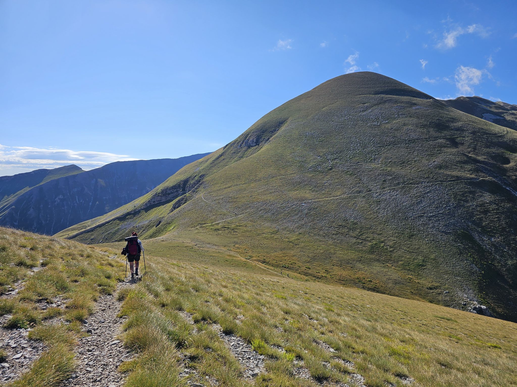
The Sibillini Mountains to Gran Sasso – the Great Apennine Crossing
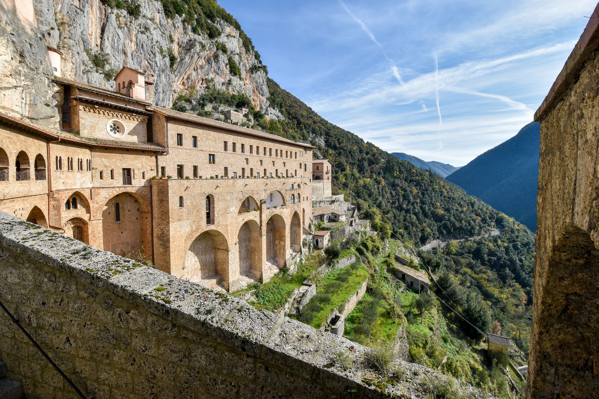
In the Footsteps of Saint Benedict - The Benedict Way
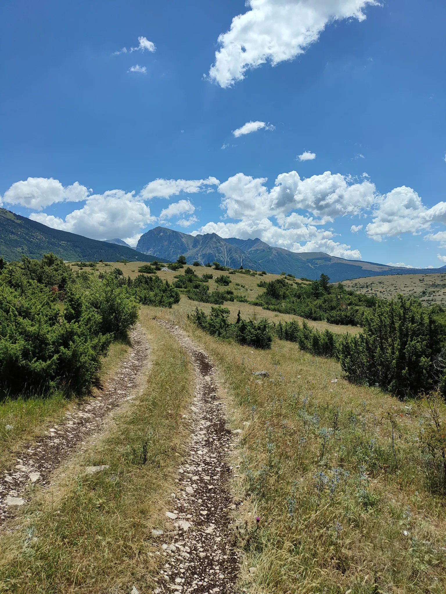
On the trail of the Queen of the Fairies – Grande Anello dei Sibillini
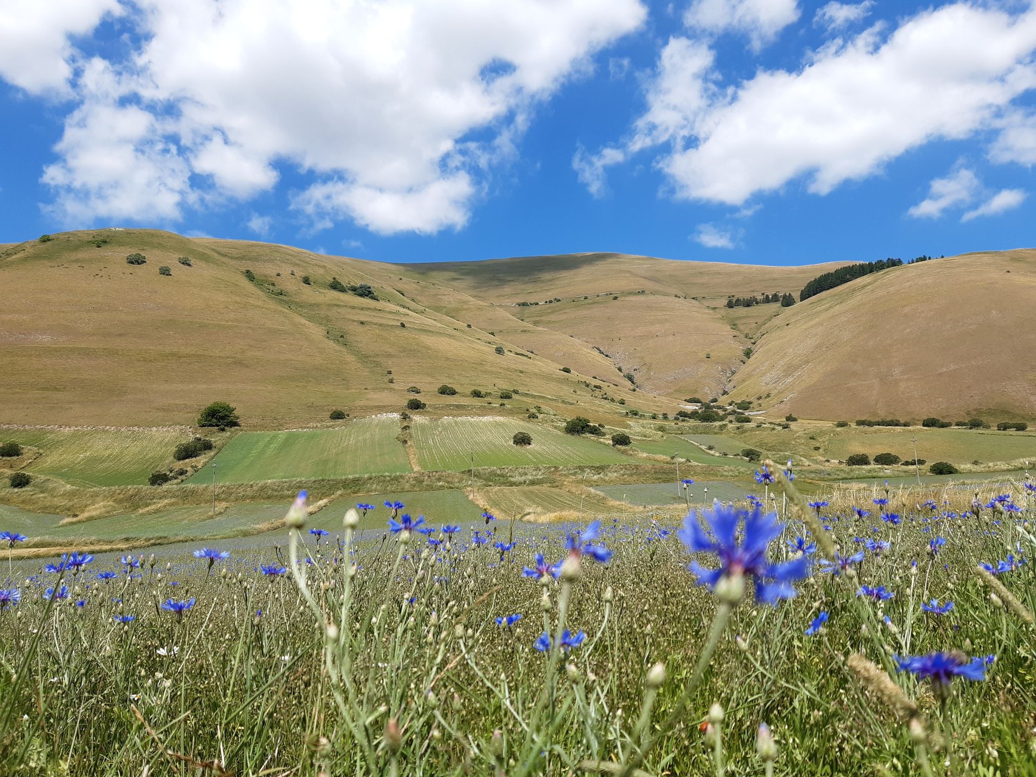
A journey through changed lands – Cammino nelle Terre Mutate
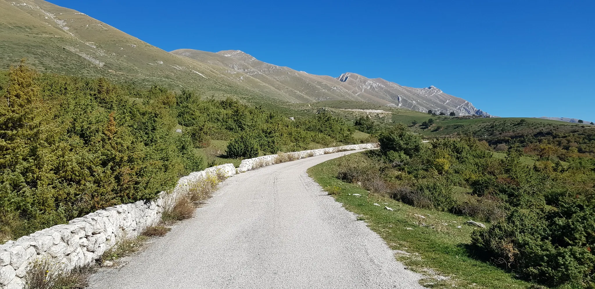
The Apennine Cycleway (Part 2) - From Umbria to Calabria

Interiora - A Journey into the Remote Areas of Italy
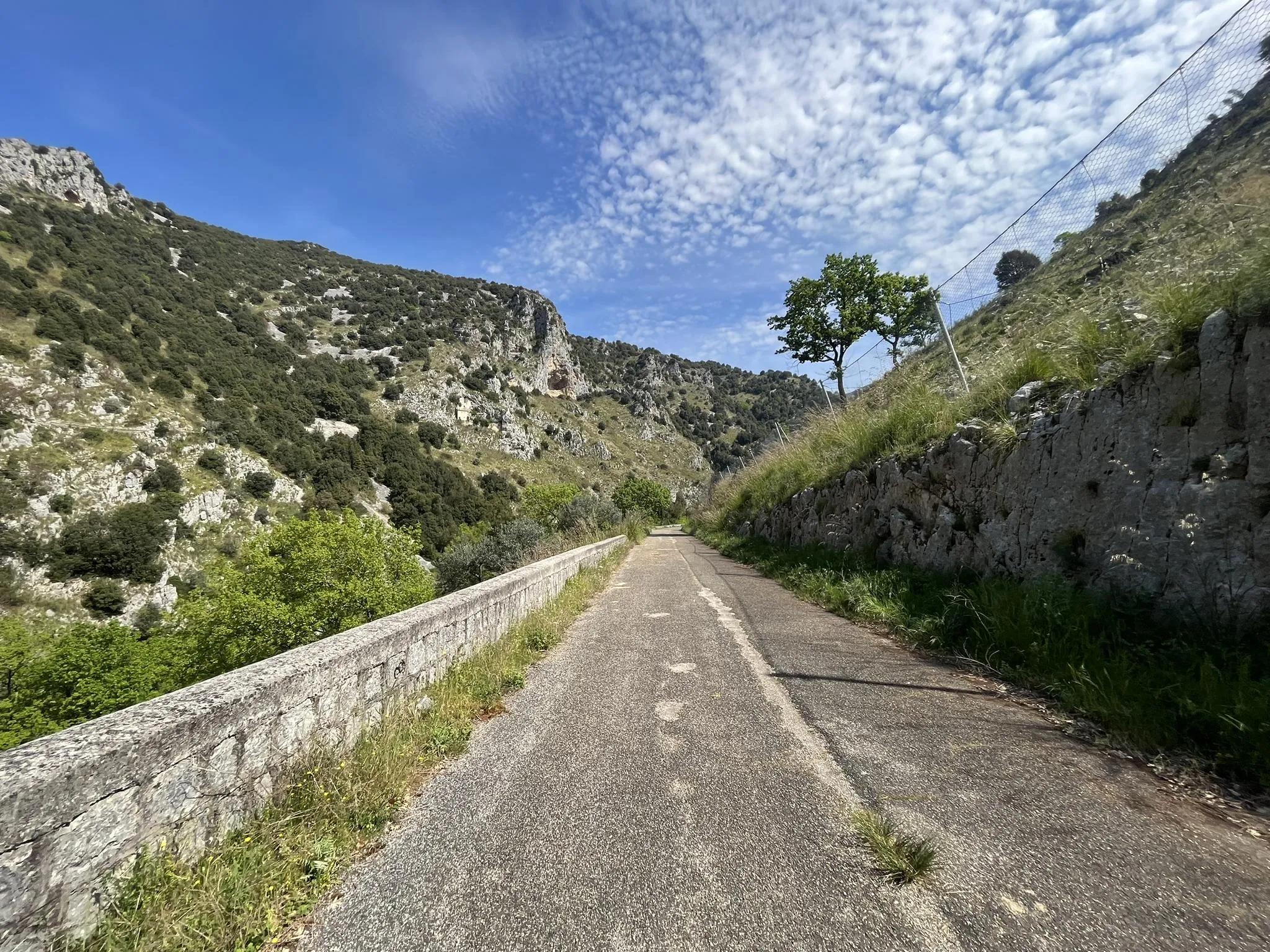
Between abbeys and quiet valleys – Saint Benedict's Way by bike
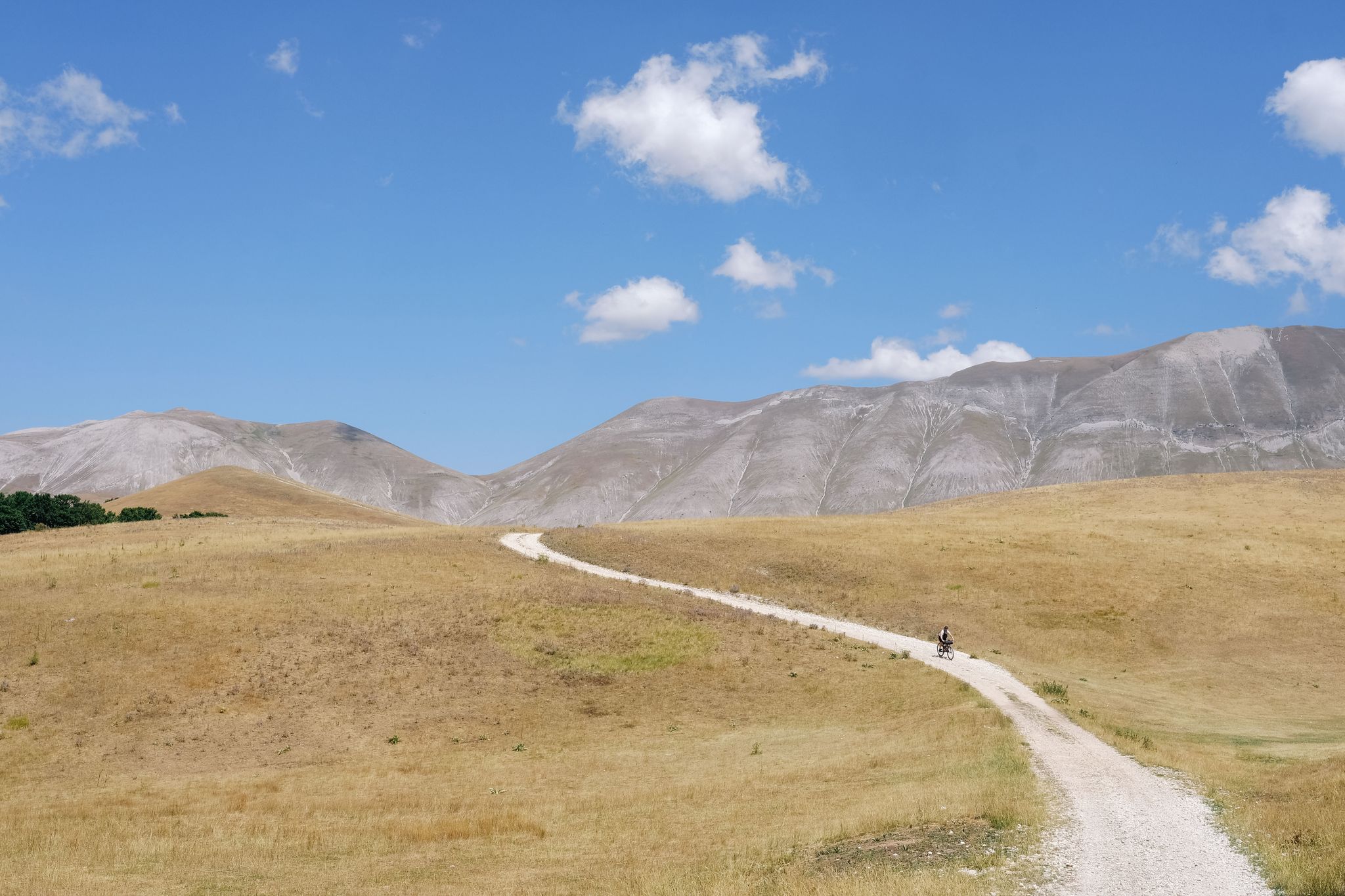
A journey through nature and legend – Great Sibillini Mountain Ring
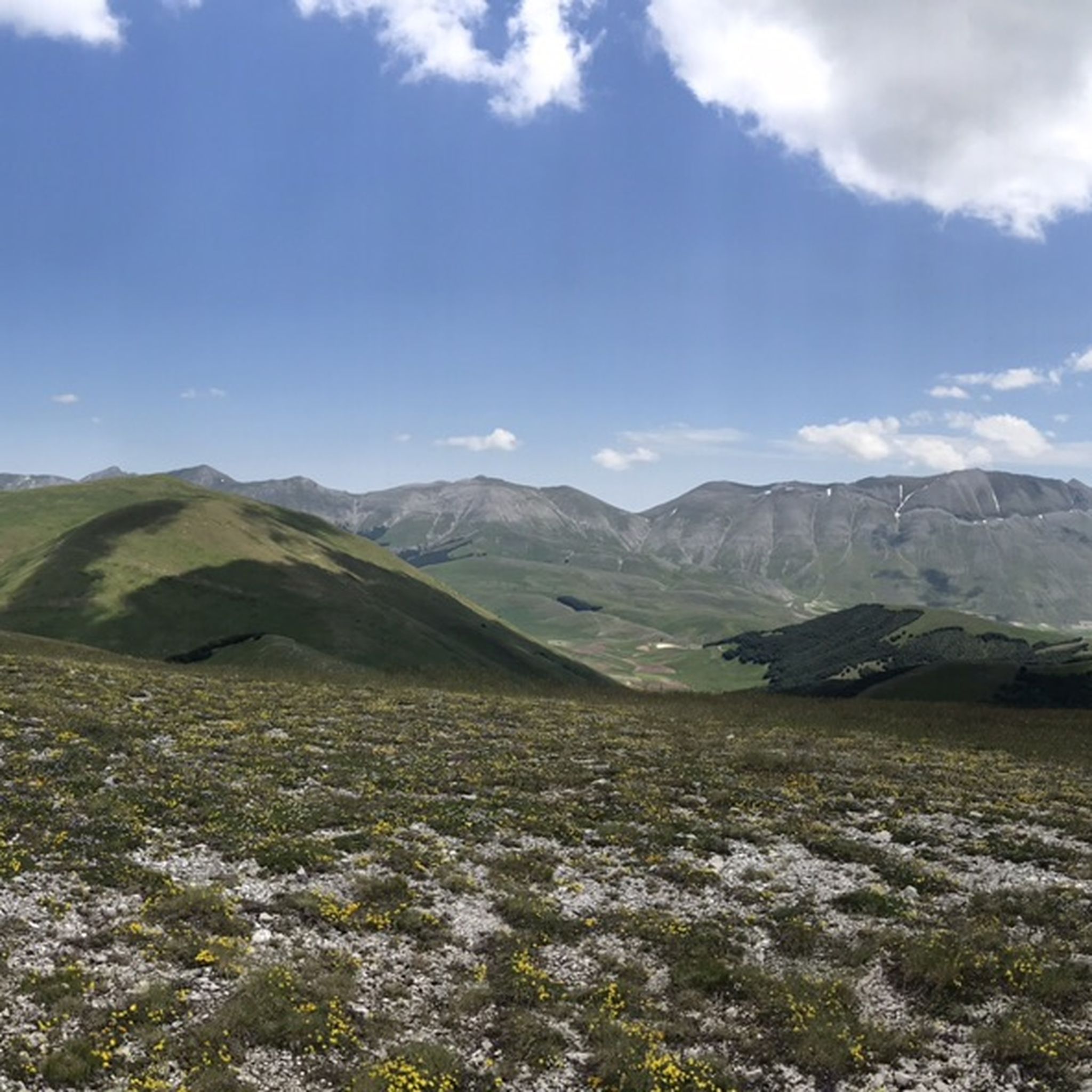
MTB Trails around Parco Nazionale dei Monti Sibillini
Running Trails around Parco Nazionale dei Monti Sibillini
Other adventures around Parco Nazionale dei Monti Sibillini


Tips from the Community

On one side you can see the two small lakes, on the other the plain of Castelluccio
0
0

From May 30th to October it is MANDATORY to go up from Montemonaco / Collina hamlet by shuttle! Search on Google to avoid unpleasant surprises.
0
0

Monte Vettore is a peak located between Croce Tito Zilioli and Bivacco Tito Zilioli, from which you can enjoy a beautiful surrounding panorama, easily reachable from the path that leads from Forca di Presta to Monte Vettore at 2062m above sea level.
0
0
ATTENTION from July 29, 2022, there is an ordinance prohibiting the continuation of the circular route. The ordinance states: the closure to anyone of trail no. 342 which runs along the riverbed of the Fiastrone in the locality "Gole del Fiastrone". Therefore, once you reach the cave of the friars (among other things with a poorly marked and dangerous path with a significant elevation gain) you must turn back and not complete the circular route. This excursion should be modified.
1
0

Magical feeling… it felt like jumping into the clouds
0
0
Frequently Asked Questions
What types of hiking trails can I find in Parco Nazionale dei Monti Sibillini?
Parco Nazionale dei Monti Sibillini offers a wide variety of hiking trails, ranging from easy walks to challenging high-altitude treks. You'll find routes through rugged peaks, extensive high-altitude plateaus like the Piano Grande di Castelluccio, lush forests, and dramatic gorges such as the Gole dell'Infernaccio. There are approximately 480 routes available, with options for all skill levels.
Are there any easy hiking trails suitable for beginners or families?
Yes, the park features around 67 easy hiking routes. While specific family-friendly trails are not detailed here, the diverse terrain means many gentler paths exist, especially on the plateaus like Piano Grande di Castelluccio. These areas are ideal for leisurely walks and enjoying the natural beauty without significant elevation gain.
What are some notable natural landmarks or attractions to see while hiking?
The park is rich in natural wonders. You can explore the striking pinnacles of the Lame Rosse, a unique geological formation. Another highlight is Pilate Lake, a glacial lake nestled at 1,900 meters, famous for its distinctive shape and legends. The Gole dell'Infernaccio also offers dramatic scenery. For expansive views, consider routes leading to peaks like Monte Vettore or Monte Sibilla.
What is the best time of year to go hiking in Parco Nazionale dei Monti Sibillini?
The best time to visit for hiking is generally from late spring to early autumn. Between May and July, the Piano Grande di Castelluccio is famous for its 'Fiorita,' when wildflowers create a vibrant mosaic of colors, offering incredibly scenic hiking. Summer provides ideal conditions for higher-altitude treks, while autumn brings beautiful foliage. Winter hiking is possible but requires specialized equipment and experience due to snow and ice.
Are there any circular hiking routes in the park?
Yes, the park offers several circular routes. A notable example is the Monte Sibilla Loop, a challenging 12.3 km path that explores the area around the legendary Monte Sibilla. The Grande Anello dei Sibillini (Great Sibillini Ring) is also a famous long-distance circular trail, covering approximately 120 kilometers across nine stages.
What kind of wildlife can I expect to see in Parco Nazionale dei Monti Sibillini?
The park's diverse environments support a rich array of wildlife. Hikers might spot elusive species such as the Apennine wolf, wild boar, red deer, roe deer, and European wildcat. The skies are home to various birds of prey, including golden eagles and peregrine falcons. Keep an eye out for unique plant species like rare orchids and edelweiss in the alpine meadows.
Are there places to stay or eat near the hiking trails?
Yes, there are several charming ancient villages nestled within the park, such as Castelluccio di Norcia, Visso, and Arquata del Tronto, which offer accommodation and local cuisine. Additionally, you can find various huts and mountain taverns, such as Rifugio del Fargno or Sibilla Hut, providing places to rest and refuel along some routes.
What do other hikers say about the trails in Parco Nazionale dei Monti Sibillini?
The hiking experience in Parco Nazionale dei Monti Sibillini is highly rated by the komoot community, with an average score of 4.5 stars from over 3,600 reviews. Hikers often praise the stunning panoramic views from peaks like Monte Vettore, the unique geological formations such as the Lame Rosse, and the overall natural beauty and tranquility of the region.
Are there any specific permits required for hiking in the park?
Generally, permits are not required for day hiking on marked trails within the Parco Nazionale dei Monti Sibillini. However, for specific activities, protected areas, or overnight stays in certain zones, it's always advisable to check the official park regulations. You can find more information on the park's official website or through resources like nationalparksassociation.org.
Can I reach the hiking trailheads using public transport?
While some villages within the park are served by local bus routes, public transport options can be limited, especially for reaching more remote trailheads. It is often recommended to use a car for greater flexibility when planning hikes in Parco Nazionale dei Monti Sibillini. Always check local bus schedules in advance if you plan to rely on public transport.
Are there any viewpoints or panoramic platforms in the area?
Yes, the park offers numerous stunning viewpoints. The Belvedere Hut and Panoramic Platform is a great spot for expansive vistas. Many high-altitude trails, such as the one leading to Monte Vettore, also provide breathtaking views that can stretch to the Adriatic Sea on clear days.
What is the terrain like for hiking in Parco Nazionale dei Monti Sibillini?
The terrain is highly varied, reflecting the diverse landscapes of the Apennine range. You'll encounter rugged, rocky paths on higher peaks, gentle grassy slopes on plateaus, and forested trails at lower elevations. Some routes, like the Forca di Presta to Cima del Lago Trail, involve significant elevation gain and can be challenging, while others are relatively flat.
Most popular routes around Parco Nazionale dei Monti Sibillini
Most popular attractions around Parco Nazionale dei Monti Sibillini

Get inspired with the komoot mobile app


Explore more
Browse the best Hikes in other regions.
