The best road cycling routes around Hardangervidda
4.5
(2)
157
riders
8
rides
Road cycling routes around Hardangervidda traverse Northern Europe's largest mountain plateau, characterized by its expansive, treeless moorland and high-alpine environment. The region features diverse topography, including high mountains, deep valleys, and numerous water features. Much of the area lies above the tree line, shaped by glacial activity, with elevations reaching up to 1,250 meters. This landscape provides varied terrain for road cyclists, from gently rolling sections to challenging climbs.
Best road cycling routes around Hardangervidda
- The most popular road cycling…
Last updated: August 22, 2026
12
riders
31.9km
01:45
520m
520m
Moderate road ride. Good fitness required. Some segments of this route may be unpaved and difficult to ride.
10
riders
47.3km
02:59
960m
960m
Hard road ride. Very good fitness required. Mostly well-paved surfaces and easy to ride.

Sign up for free
5.0
(1)
12
riders
45.9km
02:16
590m
590m
Moderate road ride. Good fitness required. Some segments of this route may be unpaved and difficult to ride.
25
riders
39.2km
02:10
570m
570m
Moderate road ride. Good fitness required. Some segments of this route may be unpaved and difficult to ride.
20
riders
94.7km
04:45
1,000m
1,000m
Hard road ride. Very good fitness required. Some segments of this route may be unpaved and difficult to ride.
Get access to more routes and recommendations from other explorers.
Sign up for free
Already have an account?
Our route recommendations are based on thousands of hikes, rides, and runs completed by other people on komoot.
Start today with a free account
Your next adventure awaits.
Login or Signup
Popular around Hardangervidda

MASSIV-Ruta – Steep mountains and deep valleys, a Norwegian adventure
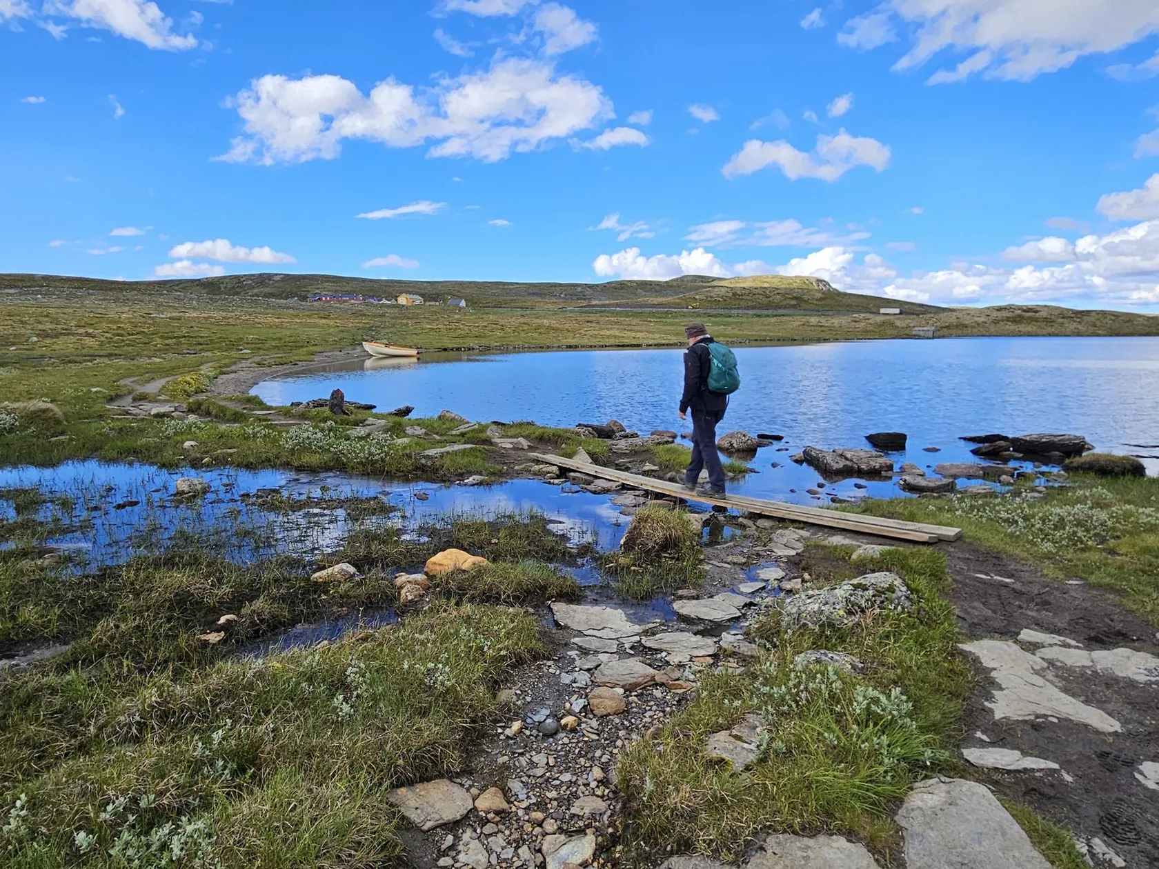
Hardangervidda – The quiet edge of Norway
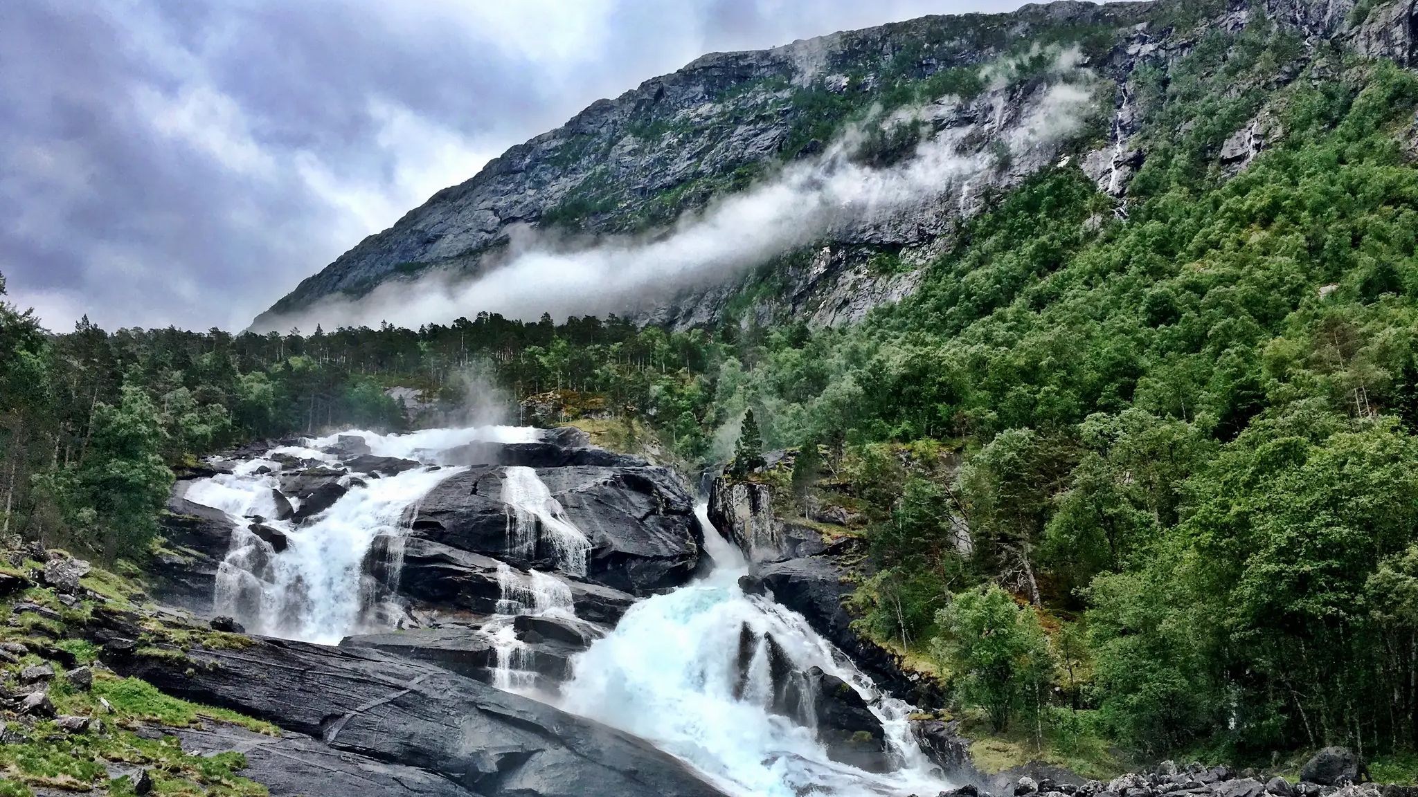
Hardangervidda på tvers – Hike across Europe’s Largest Mountain Plateau
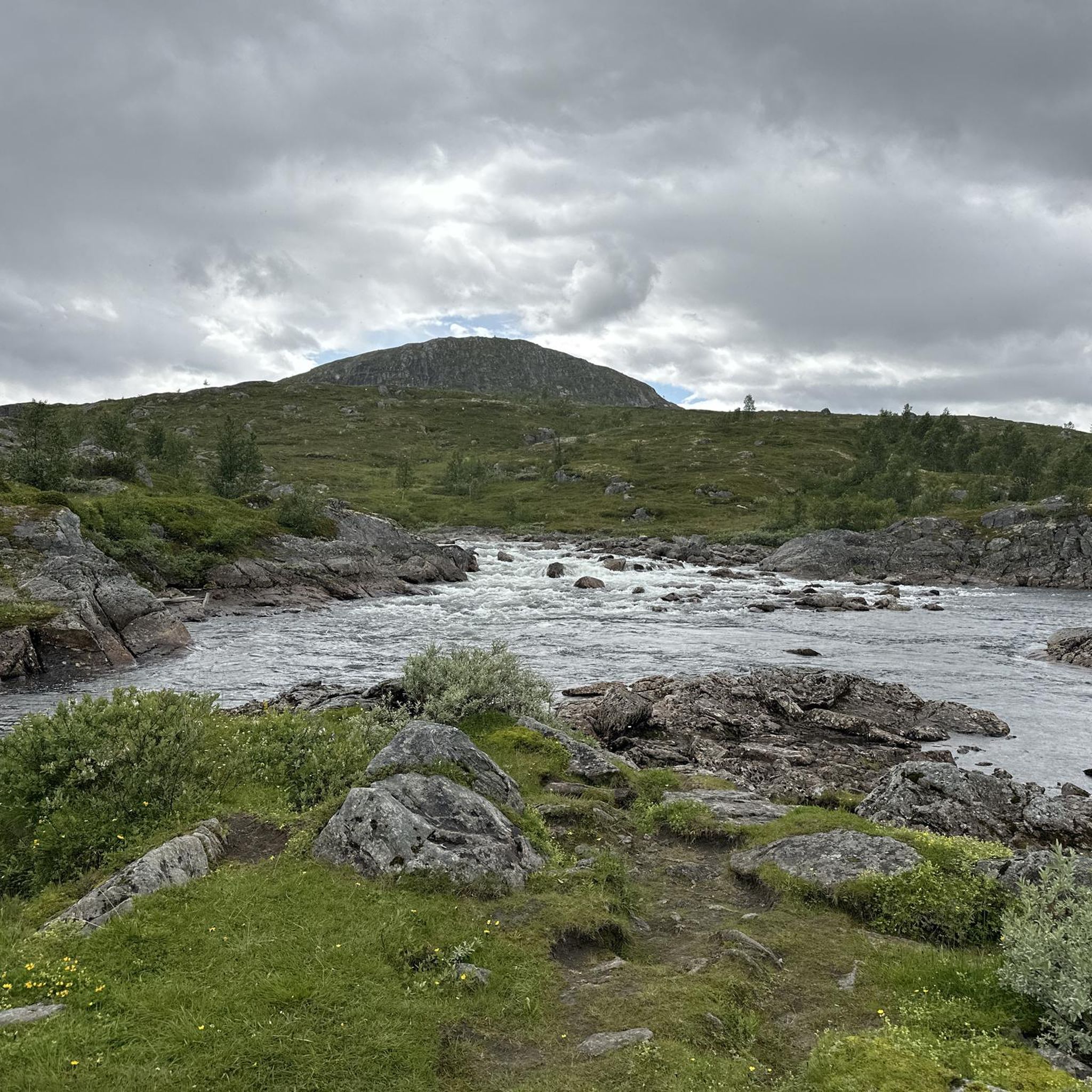
Hiking around Hardangervidda
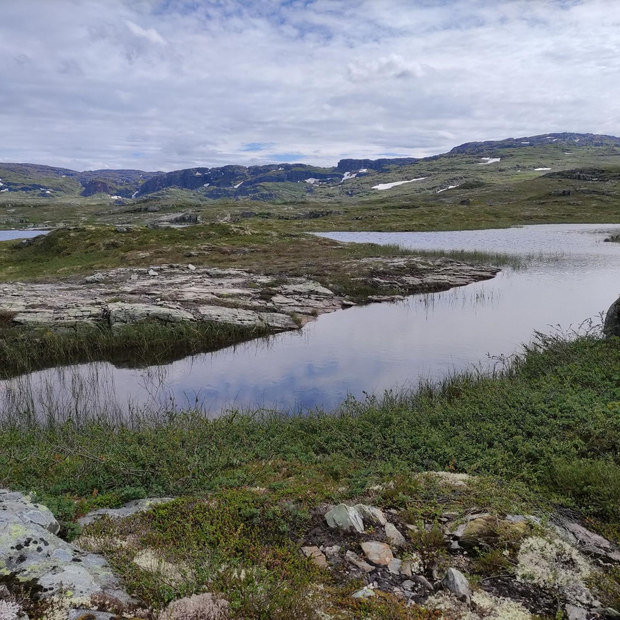
Running Trails around Hardangervidda
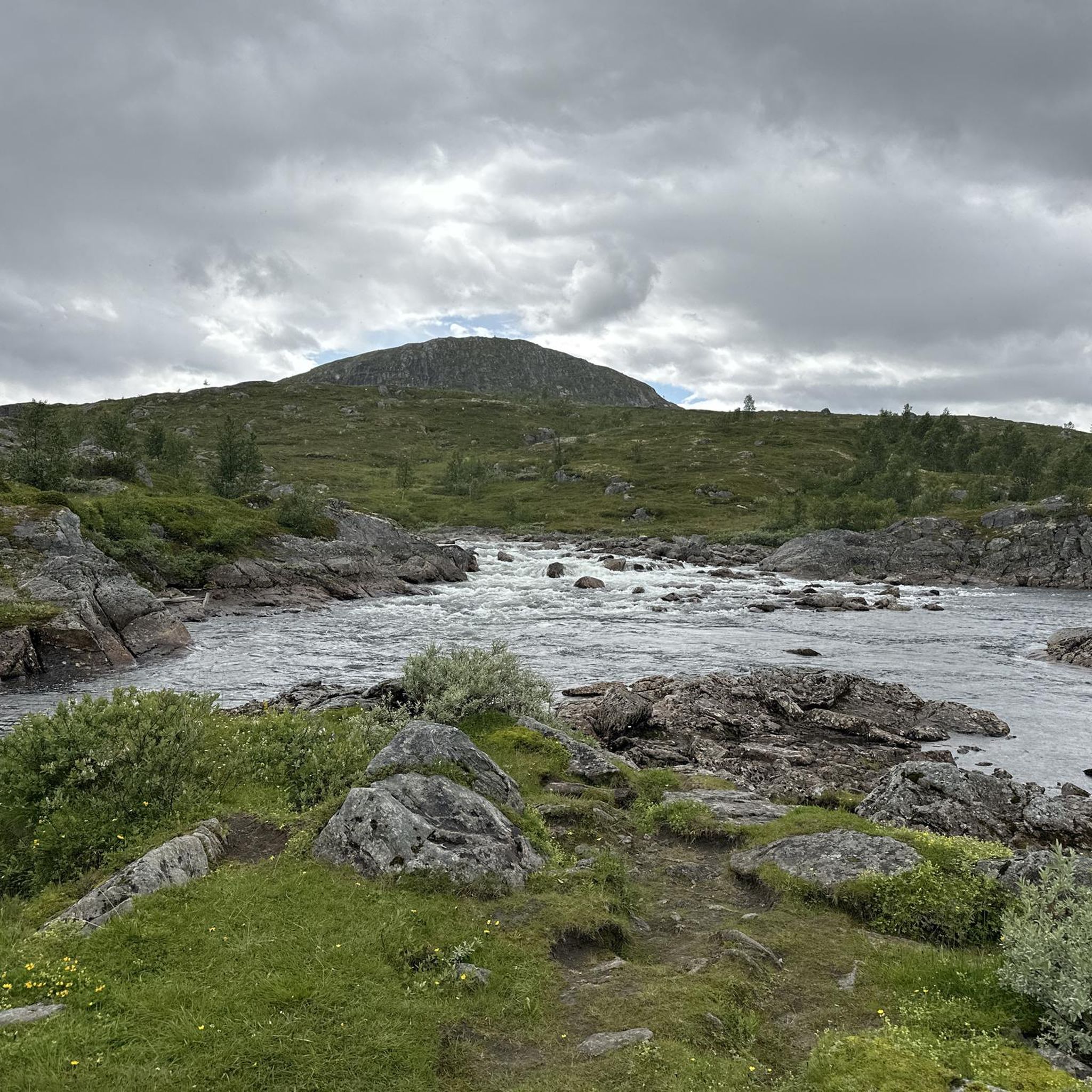
Cycling around Hardangervidda
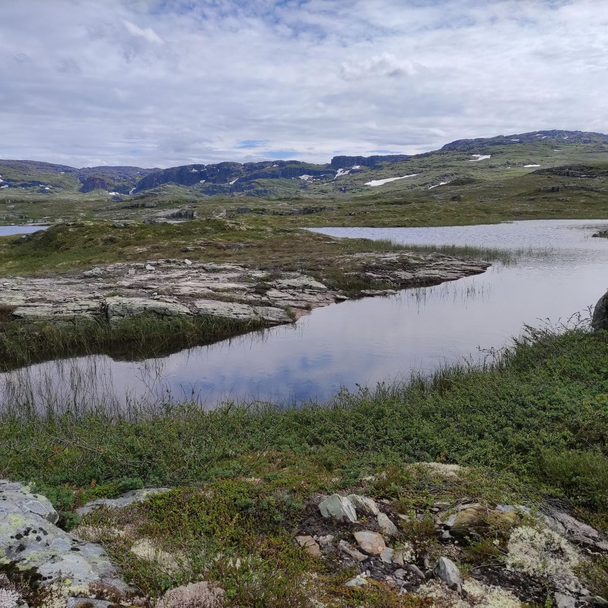
MTB Trails around Hardangervidda
Other adventures around Hardangervidda


Tips from the Community

Beautiful village when no large cruise ships dock.
1
0

A small village at the end of the fjord. The mountains rise high, and there's access to the plateau. A good starting point for hikes and excursions.
0
0

A truly beautiful route from Eidfjord to the power plant. Very little traffic, but a dead end.
3
0
beautifully landscaped location to take a break or cool off.
3
0

Beautiful hiking trail along the river
3
0

Nice photo opportunity
2
0


There's a horse in the hallway.
10
0
Frequently Asked Questions
How many road cycling routes are available in Hardangervidda?
Hardangervidda offers a selection of 9 road cycling routes, catering to various skill levels. These routes are highly rated by the komoot community, with an average score of 4.5 stars.
What kind of terrain can I expect when road cycling in Hardangervidda?
Road cycling in Hardangervidda features diverse topography. You'll encounter vast, treeless moorland, high mountains, and deep valleys, with much of the area lying above the tree line. Elevations can reach up to 1,250 meters, offering both gently rolling sections and challenging climbs. The western part is characterized by spectacular scenery, while the eastern side presents a wider, gentler landscape.
Are there challenging road cycling routes for experienced riders in Hardangervidda?
Yes, Hardangervidda offers several challenging routes. For instance, the Dyrskard – Edlandshaugen loop from Nupshallene is a difficult 29.4-mile (47.3 km) trail with extensive views across the high-alpine plateau. Another demanding option is the Åslii – Kjællhamar loop from Aga, which spans over 74 miles (120 km) with significant elevation gain.
What are some scenic points or natural features to look out for along the routes?
Hardangervidda is rich in natural beauty. You can expect breathtaking views of wide-open landscapes, distant snowy mountain tops, and rugged terrain. The plateau is abundant with numerous pools, lakes, rivers, and streams. A truly spectacular attraction is Nykkjesøyfossen Waterfall, one of Norway's most famous, plummeting dramatically from the plateau. You might also spot the Hardangerjøkulen glacier in the background on some high-altitude rides.
Can I access road cycling routes in Hardangervidda using public transport?
While the main Norwegian National Road 7 crosses the plateau, cyclists should be aware that the road is closed to them through Måbødalen due to tunnels. Buses provide an alternative for this section, which can help with accessing different parts of the plateau. For specific route access, it's advisable to check local public transport options to the starting points of the routes.
What is the best time of year for road cycling in Hardangervidda?
The best time for road cycling in Hardangervidda is generally during the summer months. The region is a high-alpine environment, and while National Road 7 is open year-round, the unique experience of cycling above the treeline is best enjoyed when conditions are milder and the landscape is fully accessible. Wooden poles along the road serve as a reminder of the significant winter snowfall, indicating that summer offers the most favorable conditions.
Are there any family-friendly road cycling options in the area?
While Hardangervidda's road cycling routes often feature significant elevation and can be challenging, some sections or shorter loops might be suitable for families with older, experienced children. The eastern side of the plateau generally features a wider, gentler, and more rolling landscape. Always check the difficulty grade and elevation profiles of specific routes, such as the moderate Hagaskarv – Tveitane loop from Måbødalen, to determine suitability for your family.
Are dogs allowed on road cycling routes in Hardangervidda?
Hardangervidda is a vast natural area, including a national park, where dogs are generally welcome but must be kept on a leash, especially during certain periods to protect wildlife, particularly the wild reindeer herds. While dogs can accompany you, consider their endurance and safety on road cycling routes, especially those with traffic or challenging terrain. Always adhere to local regulations regarding dogs in protected areas.
Where can I find parking for road cycling routes in Hardangervidda?
Parking availability varies depending on the specific starting point of your chosen route. Many trailheads or popular access points along National Road 7 and other local roads will have designated parking areas. It is recommended to research the specific starting location of your desired route, such as Nupshallene for the Dyrskard – Edlandshaugen loop, to confirm parking facilities.
Are there any long-distance road cycling routes or loops in Hardangervidda?
Yes, Hardangervidda offers options for longer road cycling experiences. For example, the Åslii – Kjællhamar loop from Aga is a substantial 74.6-mile (120 km) route, providing a significant challenge and extensive exploration of the region. Another long option is the Odda Church – Old Road Along Lake and Cliffs loop from Aga, covering nearly 59 miles (95 km).
What do other road cyclists say about their experience in Hardangervidda?
The road cycling routes in Hardangervidda are highly rated by the komoot community, with an average score of 4.5 stars from 2 reviews. Over 130 road cyclists have used komoot to explore the varied terrain. Reviewers often praise the unique experience of cycling through a vast, unspoiled high-alpine nature, the breathtaking views, and the sense of endless expanse.
Are there any specific permits required for cycling in Hardangervidda?
Generally, no specific permits are required for road cycling on public roads in Hardangervidda. However, if your route takes you into or near protected areas, such as Hardangervidda National Park, it's always wise to be aware of any specific regulations regarding access or activities. Always respect the natural environment and any signage you encounter.
Where can I find cafes or accommodation along the road cycling routes?
While Hardangervidda is known for its wild, expansive nature, there are some facilities available. Along National Road 7 and in surrounding villages, you may find cafes, guesthouses, or small hotels. Additionally, the region has several huts and cabins, such as DNT Rauhelleren or Litlos Lodge, which can offer accommodation or refreshments, though some are more remote and require detours from main roads.
Most popular routes around Hardangervidda
Most popular attractions around Hardangervidda

Get inspired with the komoot mobile app


Explore more
Browse the best Road cycling routes in other regions.
