The best hikes from bus stations around Hardangervidda
4.5
(3028)
14,507
hikers
99
hikes
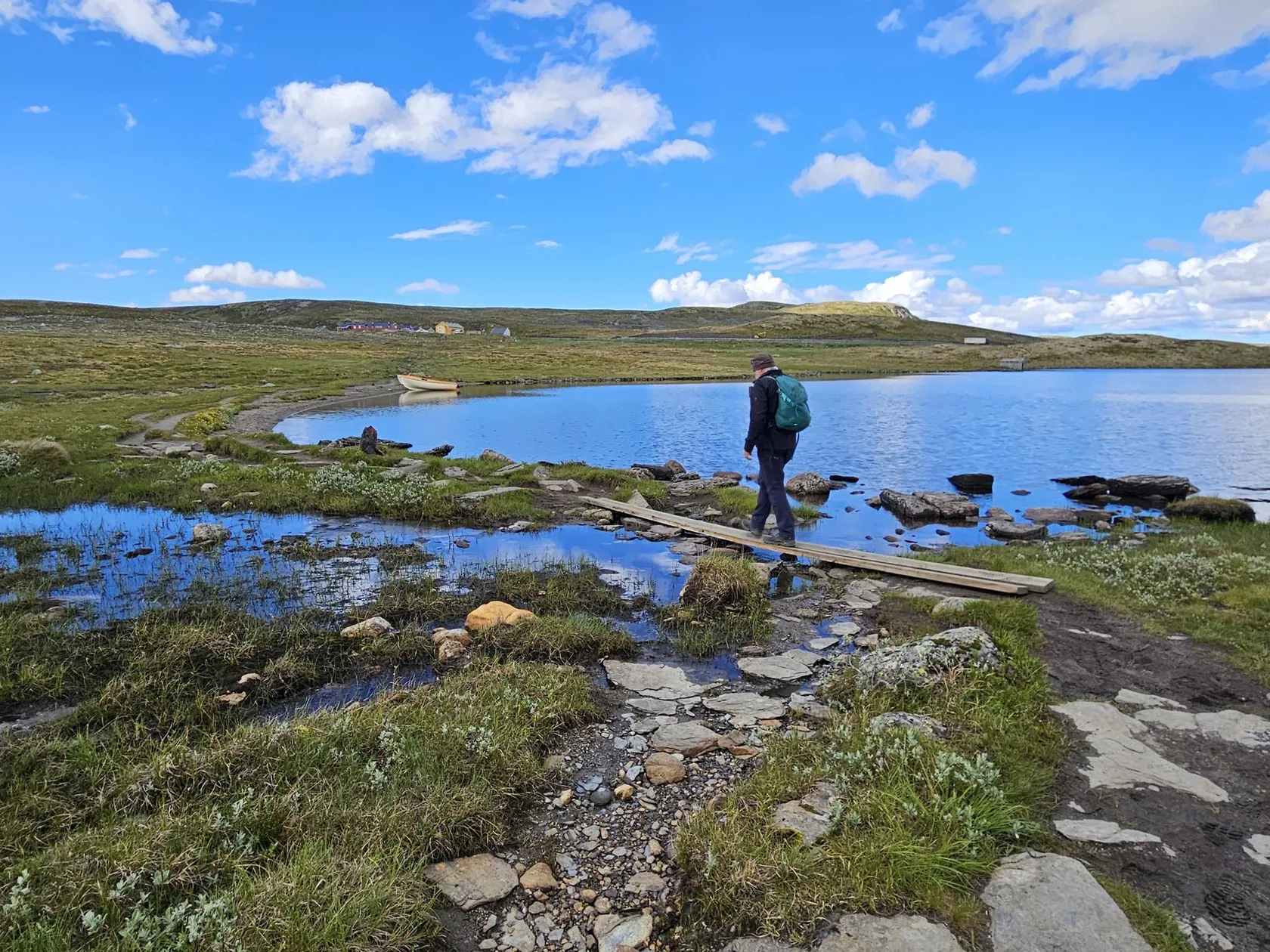
Hiking around Hardangervidda offers access to Northern Europe's largest high mountain plateau, characterized by its vast, largely treeless alpine landscape. The eastern parts feature barren moorlands and shrubby heather, while the western areas present more rugged scenery with steeper, rocky terrain and lush valleys. The ancient geology includes bedrock over a billion years old and features shaped by glacial erosion, creating a unique peneplain dotted with countless lakes, streams, and rivers.
Best bus station hiking trails around Hardangervidda
- The most…
Last updated: May 18, 2026
5.0
(1)
8
hikers
11.4km
04:03
580m
580m
Moderate hike. Good fitness required. Mostly accessible paths. Sure-footedness required.
5
hikers
Hard hike. Very good fitness required. Mostly accessible paths. Sure-footedness required.

Sign up for free
4.1
(15)
72
hikers
11.4km
03:51
410m
410m
Moderate hike. Good fitness required. Mostly accessible paths. Sure-footedness required.
5.0
(11)
35
hikers
13.7km
04:38
540m
540m
Moderate hike. Good fitness required. Mostly accessible paths. Sure-footedness required.
3.9
(8)
19
hikers
7.49km
02:12
210m
210m
Moderate hike. Good fitness required. Easily-accessible paths. Suitable for all skill levels.
Get access to more routes and recommendations from other explorers.
Sign up for free
Already have an account?
Our route recommendations are based on thousands of hikes, rides, and runs completed by other people on komoot.
Start today with a free account
Your next adventure awaits.
Login or Signup

Other adventures around Hardangervidda


Tips from the Community

Indeed it was sometimes difficult there were no paths you had to find your own way gps did not always work. But very beautiful
0
0

This trail is very wet to walk, almost impassable unless you wear high hiking boots that are waterproof.
0
0

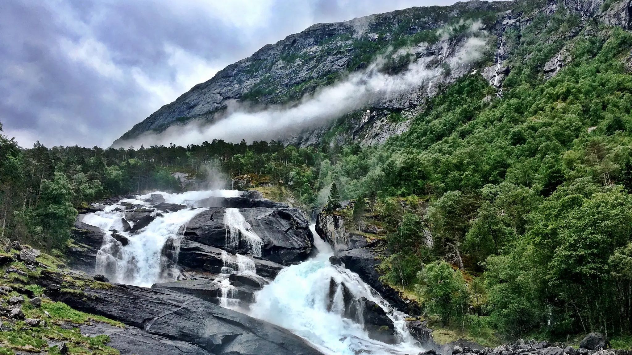
Beautifully powerful waterfall in a fantastic landscape
1
0
It's a truly beautiful place, and I love how the paths and platforms are designed for the many visitors. It's definitely worth a visit 👍💪
0
0
It's a truly beautiful place, and I love how the paths and platforms are designed for the many visitors. It's definitely worth a visit 👍💪
0
0

A breathtaking natural spectacle. The paths to the viewing platforms and photo spots are well developed and easy to reach with sturdy shoes. A must-see.
1
0

If you look closely, you will see a small bridge over the river in the distance.
0
0
Frequently Asked Questions
How many hiking trails accessible from bus stations are there around Hardangervidda?
There are nearly 100 hiking trails around Hardangangervidda that are easily accessible from bus stations, offering a wide range of experiences for all skill levels. The region is known for its extensive and well-maintained trail network.
When is the best time of year to hike these bus-accessible trails in Hardangervidda?
The prime months for hiking in Hardangervidda are generally July and August. During this period, the weather is typically more stable, and the trails are free of snow, allowing for the best conditions to explore the plateau's diverse landscapes.
What kind of terrain can I expect on bus-accessible hikes in Hardangervidda?
Hardangervidda offers diverse terrain. The eastern parts feature flatter, more vegetated moorlands, while the western areas present a more dramatic and rugged scenery with steeper, rocky terrain. You can expect a mix of well-defined paths and more exposed, high-mountain environments, often characterized by ancient geology and glacial erosion.
Are there any family-friendly hiking options accessible by bus in Hardangervidda?
Yes, Hardangervidda offers several easier paths and shorter loops suitable for families. While many trails provide a true wilderness experience, there are options designed for minimal effort, allowing families to enjoy the unique 'Hardangervidda vibe'. Look for routes with lower difficulty ratings for a more relaxed outing.
Can I bring my dog on these bus-accessible hiking trails?
Generally, dogs are welcome on hiking trails in Hardangervidda, but it's crucial to keep them on a leash, especially during certain periods to protect wildlife, particularly the wild reindeer herds. Always check local regulations and respect signage regarding dogs.
What natural features or landmarks can I see along bus-accessible routes?
Many bus-accessible routes offer stunning natural features. You can encounter numerous lakes, streams, and rivers, and spectacular waterfalls. For instance, the area around Maurset and Garen provides access to the majestic Vøringsfossen Waterfall. Other highlights include Nyastølsfossen and Nykkjesøyfossen Waterfall.
Are there any circular hiking routes that start and end at a bus stop?
Yes, several circular routes are available that are convenient for bus travelers. For example, the Grythorgi – Gygelstorg Summit loop from Maurset and the Viewpoint Near Eidfjord – Wooden Bridge Over the River loop from Garen are excellent options that bring you back to your starting point.
What wildlife might I encounter on trails near bus stops in Hardangervidda?
Hardangervidda is home to Europe's largest herd of wild reindeer, which migrate across the plateau seasonally. You might also spot other Arctic species such as arctic foxes, snowy owls, golden eagles, and peregrine falcons. Keep an eye out for moose, beavers, and wolverines in certain areas.
What is the difficulty level of bus-accessible hikes in Hardangervidda?
The difficulty varies significantly. While there are 16 easy routes, the majority (67) are moderate, and 14 are considered difficult. This means you can find trails suitable for beginners seeking a gentle walk, as well as more challenging treks for experienced hikers, all reachable by public transport.
Are there any huts or cabins accessible from bus routes for overnight stays?
Hardangervidda has a well-organized network of mountain cabins, both staffed and self-service, maintained by the Norwegian Trekking Association (DNT). Some of these, like DNT Rauhelleren or Litlos Lodge, may be accessible via longer hikes from bus stops, providing options for multi-day treks.
What do other hikers enjoy most about hiking in Hardangervidda?
The area is highly rated by the komoot community, with an average score of 4.5 stars. Reviewers often praise the true wilderness experience, the breathtaking natural beauty, and the extensive, well-marked trail network that caters to various abilities. The dramatic landscapes and unique natural features are frequently highlighted.
Are there any routes that feature the Vøringsfossen Waterfall?
Yes, the Vøringsfossen Waterfall, one of Norway's most famous waterfalls, is a major attraction in the area. You can explore routes like the Vøringsfossen Waterfall – Vøringsfossen Staircase Bridge loop from Maurset or the Vøringsfossen Staircase Bridge – Vøringsfossen Waterfall loop from Garen to experience this magnificent natural wonder.
Most popular routes around Hardangervidda
Most popular attractions around Hardangervidda

Get inspired with the komoot mobile app


Explore more
Browse the best Hikes in other regions.
