The best road cycling routes around Ottrau
4.6
(192)
2,667
riders
244
rides
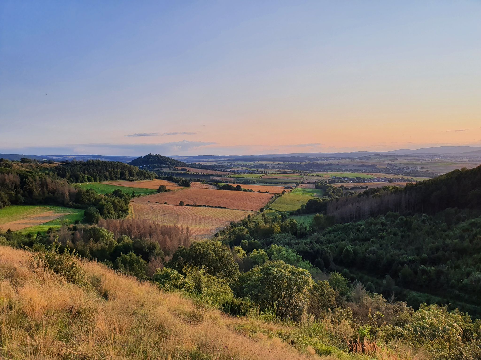
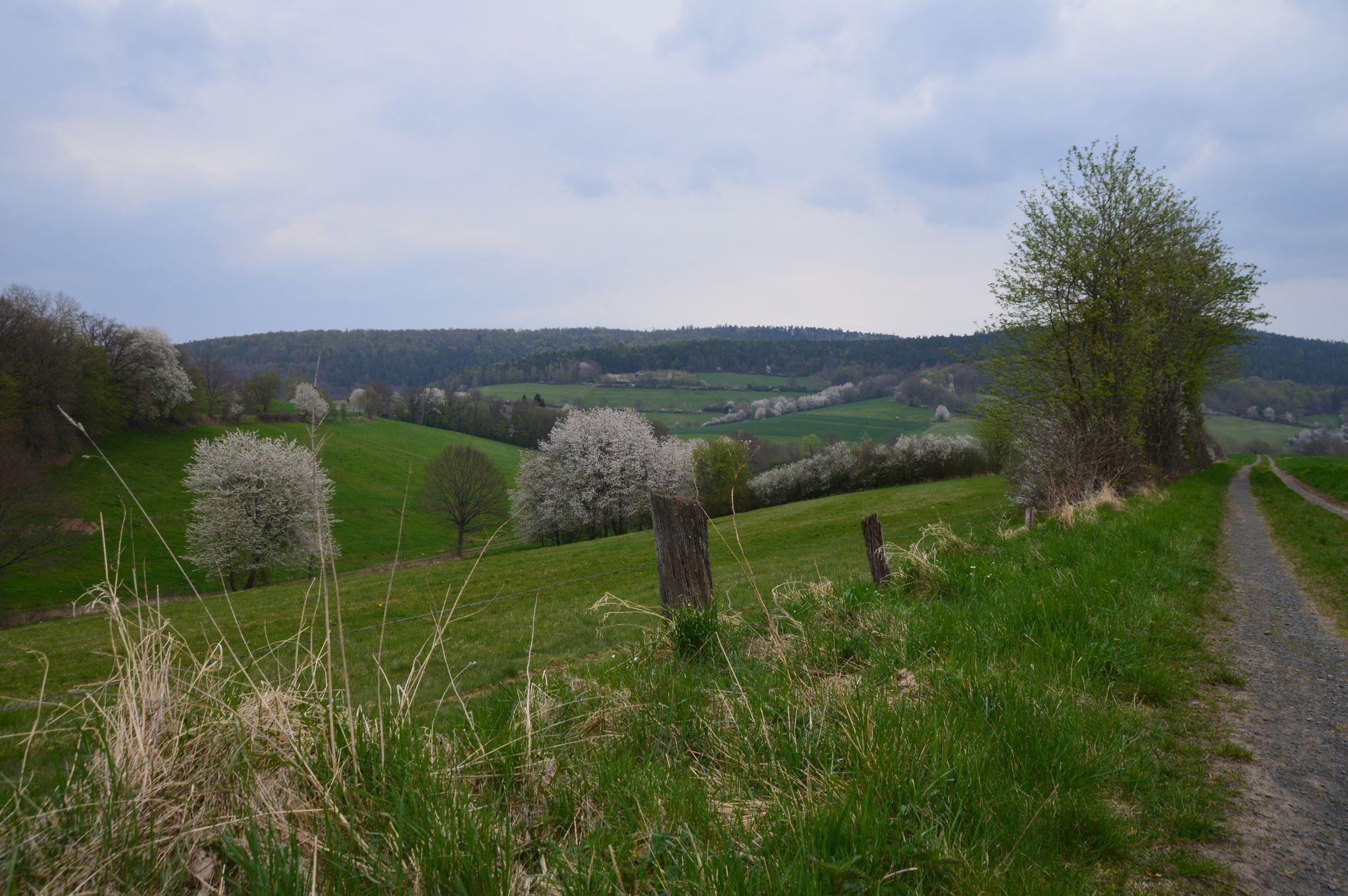
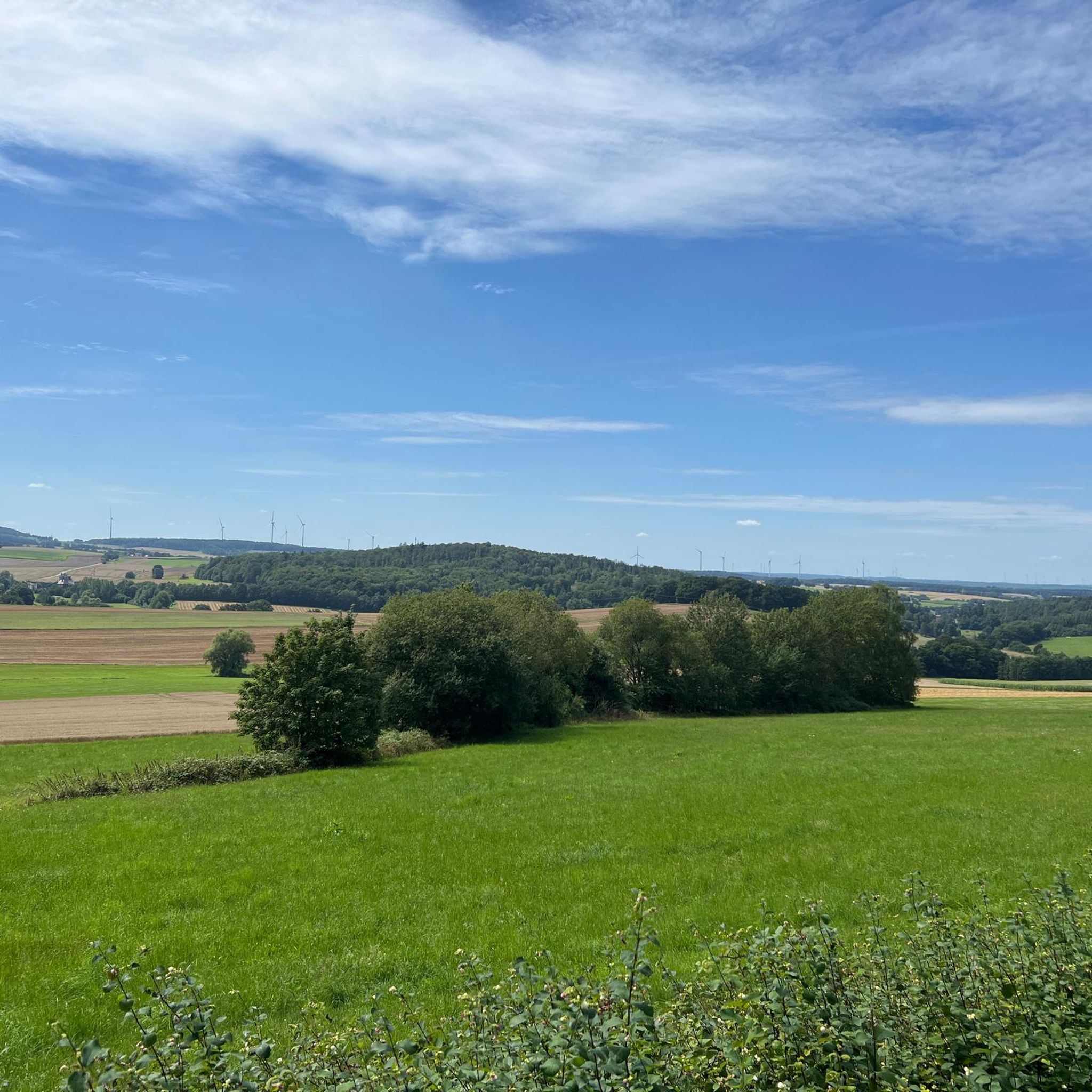
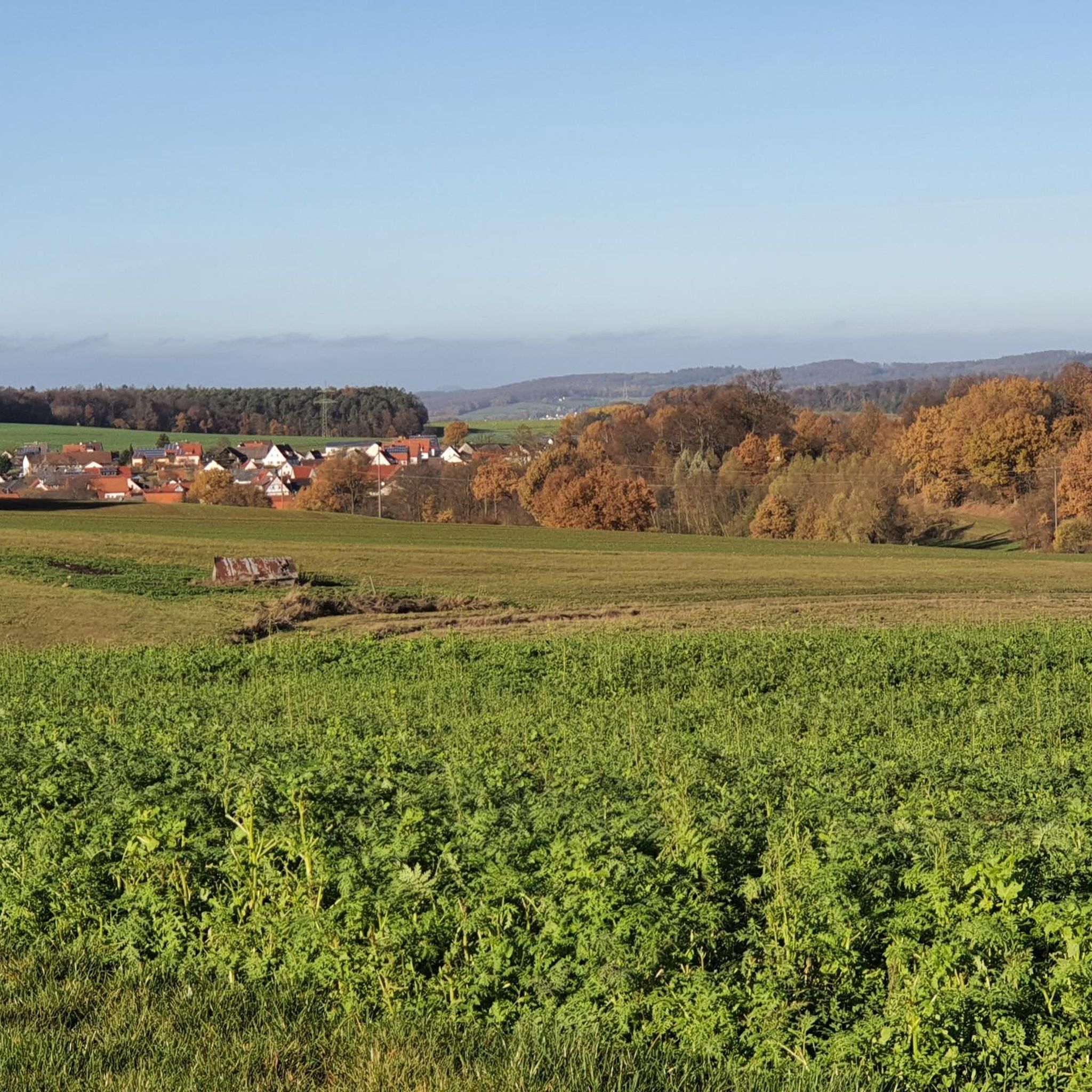
Road cycling routes around Ottrau traverse a landscape characterized by rolling hills, river valleys, and former railway lines converted into cycle paths. The region features a mix of open countryside and forested sections, with elevations varying from gentle inclines to more sustained climbs. Road cyclists can expect to encounter a network of paved roads and dedicated cycle paths connecting rural villages and scenic viewpoints.
Best road cycling routes around Ottrau
- The most popular road cycling route is Bahndamm Cycle Path…
Last updated: July 5, 2026
4.5
(2)
46
riders
Moderate road ride. Good fitness required. Some segments of this route may be unpaved and difficult to ride.
18
riders
50.4km
02:11
400m
400m
Moderate road ride. Good fitness required. Mostly well-paved surfaces and easy to ride.

Sign up for free
5.0
(1)
22
riders
Easy road ride. Great for any fitness level. Mostly well-paved surfaces and easy to ride.
16
riders
60.1km
02:55
780m
780m
Moderate road ride. Good fitness required. Mostly well-paved surfaces and easy to ride.
3.7
(3)
11
riders
Moderate road ride. Good fitness required. Mostly well-paved surfaces and easy to ride.
Get access to more routes and recommendations from other explorers.
Sign up for free
Already have an account?
Our route recommendations are based on thousands of hikes, rides, and runs completed by other people on komoot.
Start today with a free account
Your next adventure awaits.
Login or Signup

Tips from the Community

Very rural and original, the stop at the Lenzenmühle, which is opposite.
1
0
Unspectacular rest stop with 2 benches on platform 2 of Nausis station, directly on the cycle path. The former Nausis station is in sight.
1
0


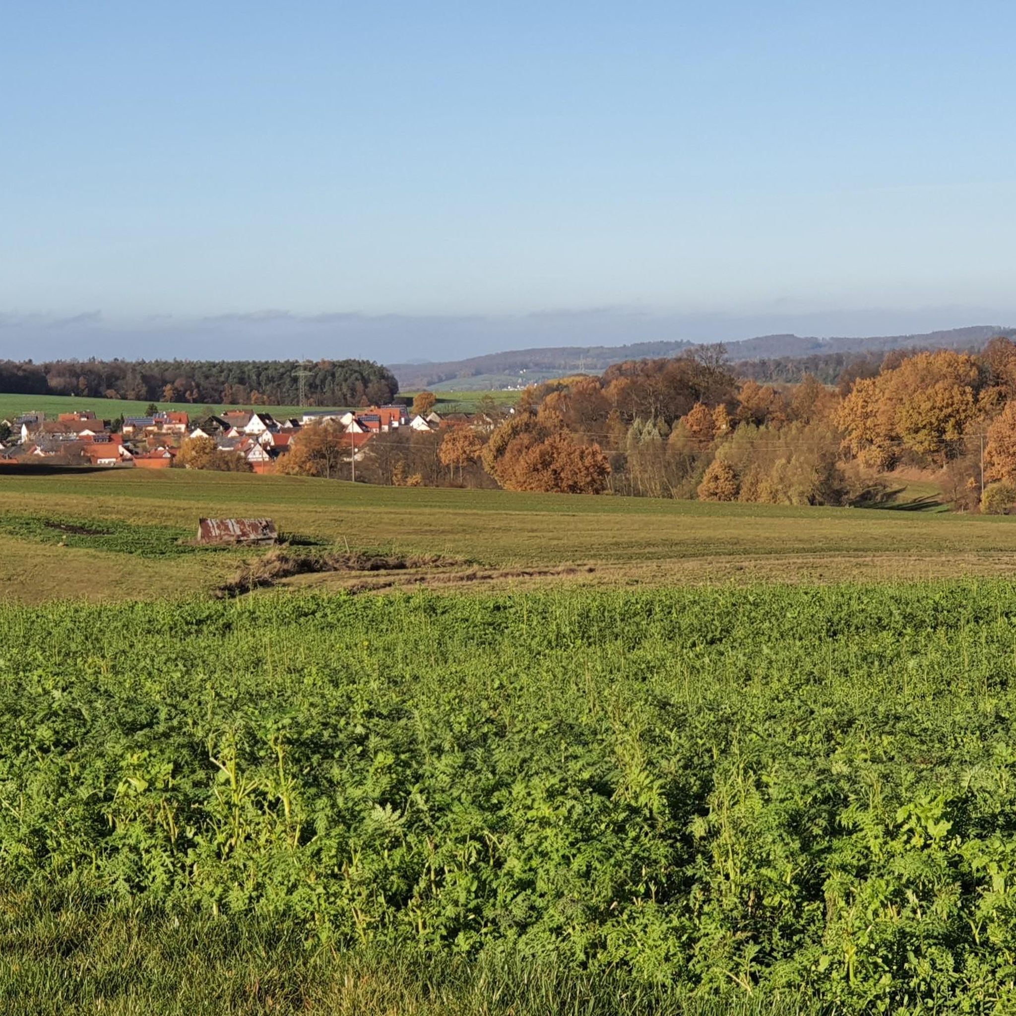
From Katzenberg, one has a magnificent view of Seibelsdorf and the surrounding Antrifttal valley.
4
0

The bus stop in Kleinropperhausen did not exist when the line was first opened in 1907. It was only established in the 1970s to transport schoolchildren to Ziegenhain.
0
0
Station building with information board about the former railway line
0
0
The Katzenberg, also known as "Chattenberg," was once a place of execution. An information panel provides information about the history of this place. The panoramic view of Seibelsdorf is picturesque and beautiful!
7
1

Directly on the old railway embankment stands a wooden sculpture of Little Red Riding Hood
2
0
Frequently Asked Questions
How many road cycling routes are available around Ottrau?
There are over 250 road cycling routes around Ottrau, offering a wide range of options for various skill levels. This includes 39 easy routes, 174 moderate routes, and 39 difficult routes.
Are there easy road cycling routes suitable for beginners in Ottrau?
Yes, Ottrau offers several easy road cycling routes perfect for beginners. An example is the Former Nausis Train Station – Railway Embankment Cycle Path Little Red Riding Hood Land loop from Ottrau, which is 13.5 miles (21.7 km) long and takes about 54 minutes to complete, largely following a converted railway embankment.
Where can I find more challenging road cycling routes around Ottrau?
For those seeking a greater challenge, Ottrau has 39 difficult road cycling routes. These routes often feature more sustained climbs and varied terrain. You can explore these options on komoot to find one that suits your fitness level.
What is the typical duration for road cycling routes in Ottrau?
Route durations vary significantly. Shorter, easy routes like the Former Nausis Train Station – Railway Embankment Cycle Path Little Red Riding Hood Land loop from Ottrau can be completed in under an hour. Longer, moderate routes, such as the Bahndamm Cycle Path – Former Nausis Train Station loop from Hattendorf, typically take around 2 hours to complete.
Are most road cycling routes in Ottrau circular?
Many of the road cycling routes around Ottrau are designed as loops, allowing you to start and finish at the same point. For instance, the popular View of Kleba – View of Frielingen loop from Olberode is a circular route offering scenic views.
When is the best time of year for road cycling in Ottrau?
The best time for road cycling in Ottrau is generally from spring through autumn, when the weather is mild and the landscape is vibrant. The region's rolling hills and open countryside are particularly enjoyable during these seasons. Winter cycling is possible, but conditions may be less predictable.
What can I see along the road cycling routes in Ottrau?
Road cycling routes in Ottrau often pass through scenic landscapes, rural villages, and offer various points of interest. You might encounter natural attractions like the Christerode Waterfall and Pond or the Bluestone Falls. Some routes also lead past viewpoints such as the Ibraer Kuppe Shelter and Viewpoint.
Are there places to stop for refreshments or shelter along the routes?
Yes, you can find various huts and shelters along or near road cycling routes in Ottrau. Options include the Hergertsmühle Hikers' Hostel, the Eichwald Hut, and the Bogler House & Bogler Lounge, which can serve as convenient stops for a break.
What do other road cyclists enjoy most about road cycling in Ottrau?
The komoot community highly rates road cycling in Ottrau, with an average score of 4.6 stars from over 170 reviews. Cyclists often praise the diverse terrain, which includes converted railway embankments, rolling hills, and rural pathways, offering a mix of easy and challenging sections. The scenic views and well-maintained paths are also frequently highlighted.
Are there any routes that connect to nearby towns or regions?
Yes, some routes extend beyond Ottrau, connecting to neighboring areas. For example, the Cycle Path to Bad Hersfeld – Eichhof Castle loop from Weißenborn is a longer route that takes you towards Bad Hersfeld, offering a chance to explore a wider region.
What kind of landscape can I expect while road cycling around Ottrau?
The landscape around Ottrau is characterized by rolling hills, picturesque river valleys, and sections that follow former railway lines converted into cycle paths. You'll experience a mix of open countryside and forested areas, with varied elevations from gentle inclines to more significant ascents.
Most popular attractions around Ottrau

Get inspired with the komoot mobile app


Explore more
Browse the best Road cycling routes in other regions.
