The best walks and hikes around Omerz und roter Berg
4.6
(2137)
7,298
hikers
465
hikes
Hiking around Omerz und roter Berg, a 6.52 km² forested area in the Bavarian Rhön, Germany, offers diverse outdoor activities. The region is characterized by dense woodlands, varied terrain, and a network of paths. Its location within the Naturpark Bayerische Rhön provides access to gently rolling hills, extensive forests, and scenic viewpoints. This area is well-suited for exploring natural features and landscapes.
Best hiking trails around Omerz und roter Berg
- The most popular hiking route is Brotweg Shelter and Viewpoint…
Last updated: July 1, 2026
4.6
(7)
26
hikers
Moderate hike. Good fitness required. Easily-accessible paths. Suitable for all skill levels.
4.8
(12)
31
hikers
Moderate hike. Good fitness required. Easily-accessible paths. Suitable for all skill levels.

Sign up for free
5.0
(1)
16
hikers
Easy hike. Great for any fitness level. Easily-accessible paths. Suitable for all skill levels.
2.5
(2)
3
hikers
18.7km
05:14
350m
350m
Hard hike. Very good fitness required. Easily-accessible paths. Suitable for all skill levels.
6
hikers
Easy hike. Great for any fitness level. Easily-accessible paths. Suitable for all skill levels.
Get access to more routes and recommendations from other explorers.
Sign up for free
Already have an account?
Our route recommendations are based on thousands of hikes, rides, and runs completed by other people on komoot.
Start today with a free account
Your next adventure awaits.
Login or Signup
Tips from the Community

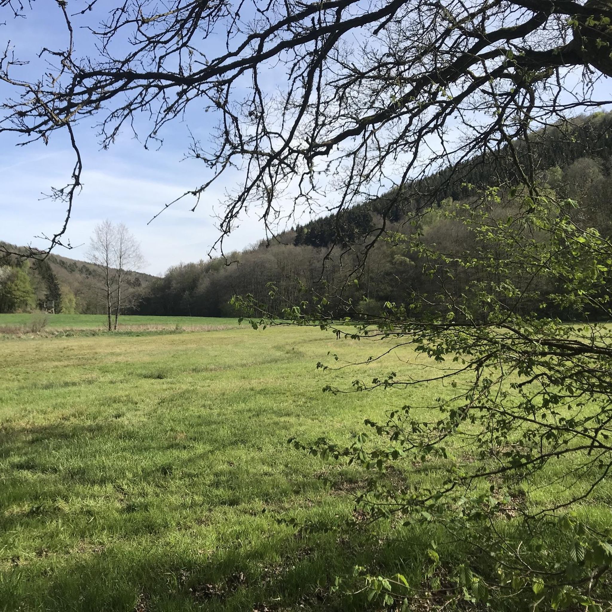
Discover via panoramic tour: https://maps.app.goo.gl/B6rTX7shdNKXQ62PA
0
0
Discover via panoramic tour: https://maps.app.goo.gl/hDF29YbuMph5LAMLA
0
0

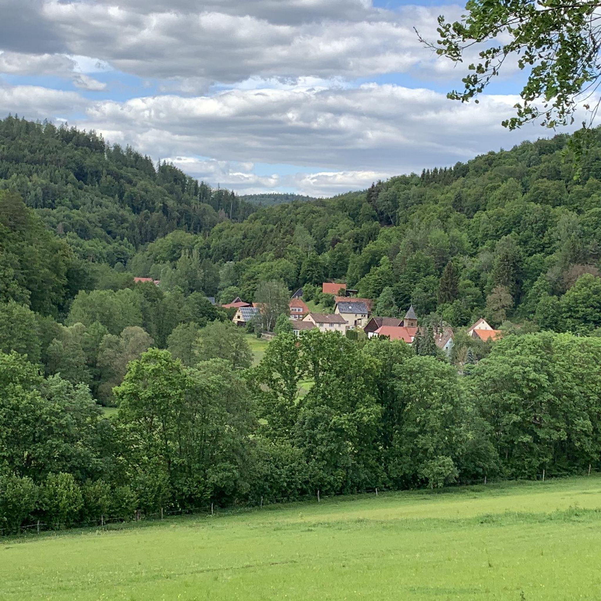
Beautifully landscaped grounds with a shelter. Amazing views. Definitely not the last time I'll be here.
0
0

Heckmühlsterg closed for renovation
0
0

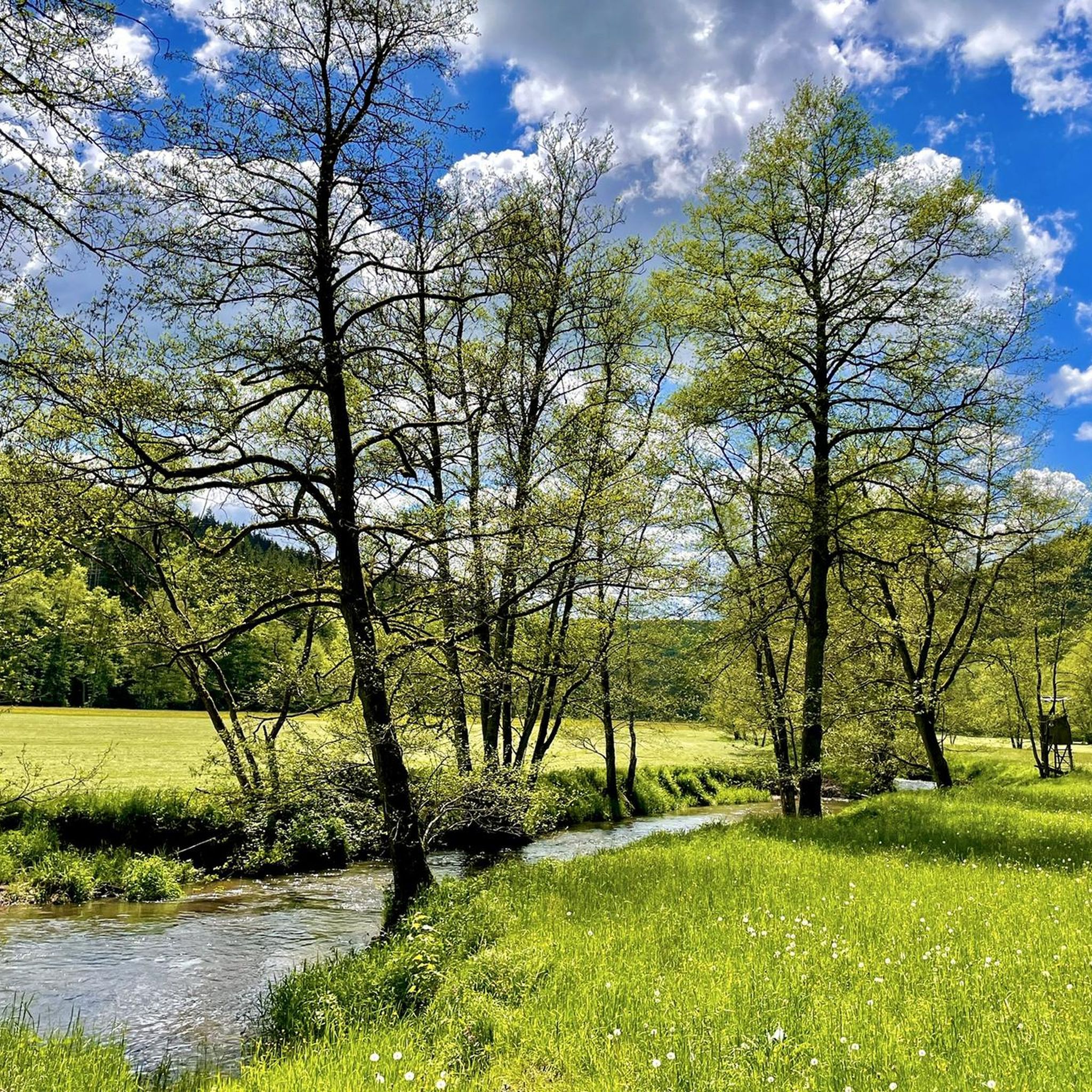
The paths and (nature conservation) areas around the various footbridges over the Schondra River are impressive, relaxing spots (some with benches) and ideal for a rest. They make a hike through the Schondra Valley particularly beautiful.
0
0
The paths and (nature conservation) areas around the various footbridges over the Schondra River are impressive, relaxing spots (some with benches) and ideal for a rest. They make a hike through the Schondra Valley particularly beautiful.
0
0
There's also an opportunity to refill your water bottles. Those walking along the Schondra River might also want to take a detour (to and across the Mittelmühlsteg bridge) and take a break at the Kneipp pool.
0
0
The paths and (nature conservation) areas around the various footbridges over the Schondra River are impressive, relaxing spots (some with benches) and ideal for a rest. They make a hike through the Schondra Valley particularly beautiful.
0
0
Frequently Asked Questions
How many hiking trails are available in Omerz und roter Berg?
There are over 460 hiking routes available in Omerz und roter Berg, catering to various skill levels. This includes more than 215 easy trails, 220 moderate paths, and nearly 30 more challenging routes.
Are there any family-friendly hiking options in Omerz und roter Berg?
Yes, Omerz und roter Berg offers many easy trails suitable for families. For instance, the Völkersleier Manor House – Brotweg Shelter and Viewpoint loop from Wartmannsroth is an easy 6.3 km route that provides a pleasant walk for all ages.
What kind of natural attractions or landmarks can I expect to see while hiking?
The region is rich in natural beauty and points of interest. You can discover highlights such as the Trettstein Waterfall, or historical markers like the Langer Markstein Boundary Stone and Shelter. The area also features various shelters and rest areas like the Bettlersruh Rest Area on Route 46.
Are there any circular walks in Omerz und roter Berg?
Many of the trails in Omerz und roter Berg are designed as circular routes. An example is the Route 46 Autobahn Ruins – Erlenbrunn Spring loop from Strecke 46, an easy 6.8 km trail that explores historical remnants and natural springs.
What do other hikers say about the trails in Omerz und roter Berg?
The hiking trails in Omerz und roter Berg are highly regarded by the komoot community, with an average rating of 4.6 stars from over 2000 reviews. Hikers often praise the diverse terrain, well-maintained paths, and the peaceful forested areas.
Is Omerz und roter Berg suitable for hiking with dogs?
Yes, Omerz und roter Berg is generally dog-friendly. The extensive network of forested paths and open terrain provides ample opportunities for walks with your canine companion. Always ensure your dog is under control and check for any local regulations regarding leash requirements.
What is the best season to go hiking in Omerz und roter Berg?
Omerz und roter Berg offers enjoyable hiking experiences throughout the year. Spring brings lush greenery, summer provides shaded forest paths, autumn showcases vibrant foliage, and winter can offer serene, snow-covered landscapes. Your preferred season depends on the type of scenery and conditions you seek.
Are there any less crowded hiking trails for a more peaceful experience?
With over 460 routes, it's possible to find quieter trails, especially during off-peak hours or by exploring some of the less-trafficked moderate routes. Consider trails that venture deeper into the forested areas away from the main access points for a more secluded hike.
Are there opportunities for refreshments or cafes after a hike?
While specific cafes within the immediate municipal-free area are limited, the broader Bavarian Rhön region, including nearby towns, offers various options for refreshments. You can also find several rest areas and shelters along the trails, such as the Rest area with shelter on the Saale River, for a break.
How can I access the hiking trails by public transport?
While Omerz und roter Berg is a municipal-free area, the surrounding towns in the Bad Kissingen district of the Bavarian Rhön may offer public transport connections. It is advisable to check local bus schedules to nearby villages and plan your route accordingly, as direct access to trailheads within the forest might require a short walk or taxi ride.
Are there any scenic viewpoints along the trails?
The diverse terrain of Omerz und roter Berg and the broader Rhön area often provides scenic viewpoints, particularly from higher elevations or clearings within the forest. While specific named viewpoints are not detailed for every trail, the varied landscapes ensure picturesque vistas throughout your hike.
What are the options for parking near the hiking trails?
Parking is generally available at various access points and trailheads around Omerz und roter Berg, especially in the vicinity of popular starting points in the surrounding communities. Look for designated parking areas near the beginning of the trails or in nearby villages.
Can I combine hiking with other outdoor activities in the area?
Absolutely. The region is well-equipped for various outdoor pursuits. You can find several cycle paths nearby, such as the Franconian Saale Riverside Cycle Path and the Thulba Cycle Path, offering opportunities to combine hiking with cycling.
Most popular attractions around Omerz und roter Berg

Get inspired with the komoot mobile app


Explore more
Browse the best Hikes in other regions.
