The best walks and hikes around Oberwies
4.6
(8152)
28,804
hikers
671
hikes
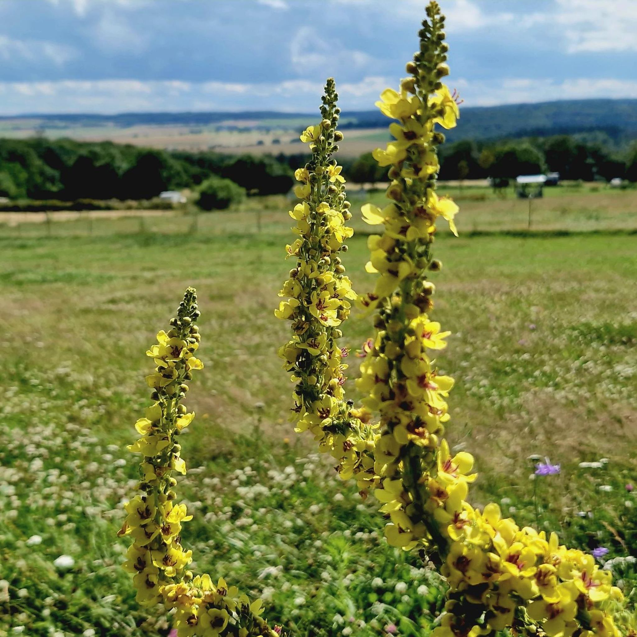
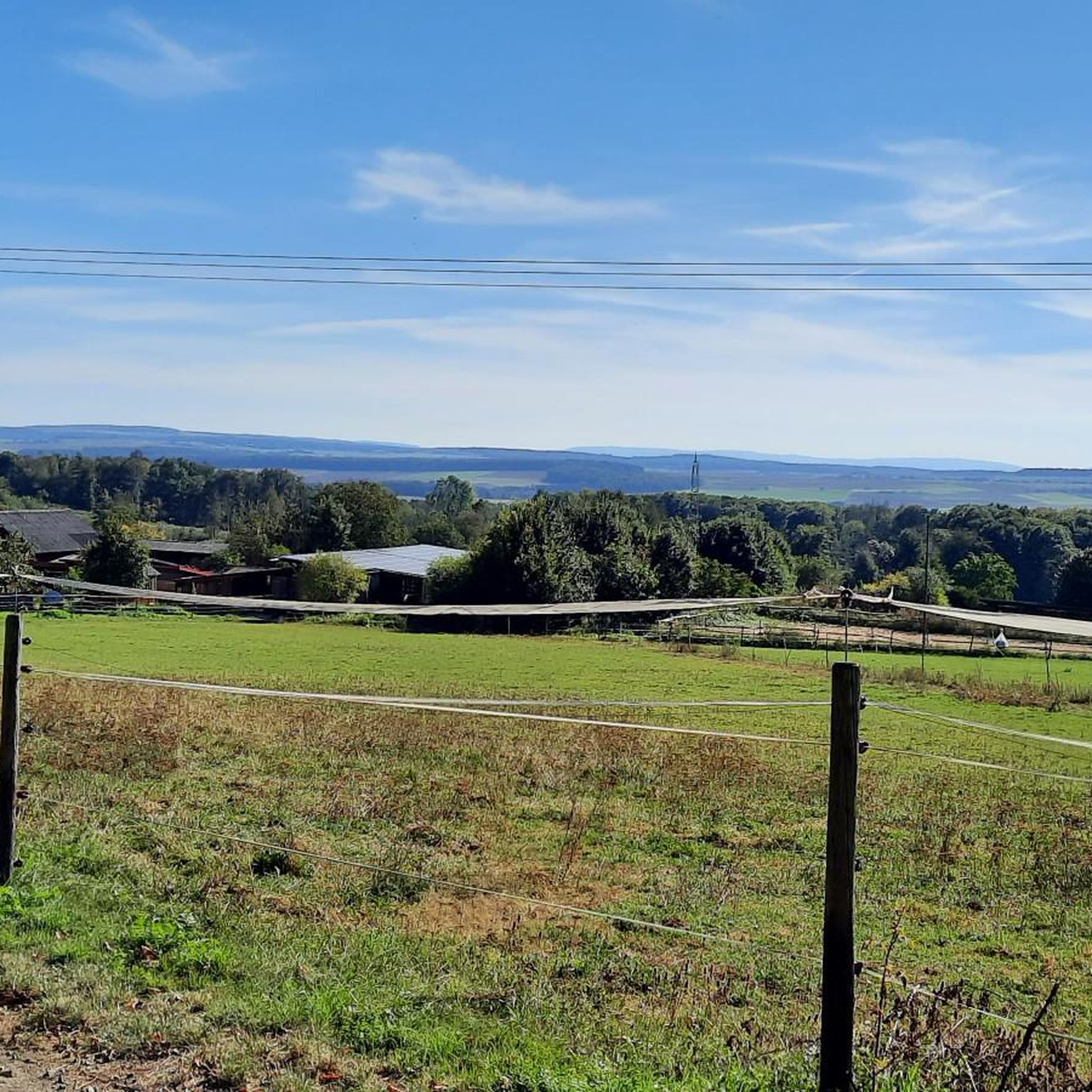
Hiking around Oberwies, situated in the North Palatine Uplands of Rhineland-Palatinate, Germany, offers diverse landscapes for outdoor activities. The region is characterized by rolling hills, verdant valleys, and picturesque forests, providing varied terrain for hikers. Notable natural features include the Donnersberg, the highest peak in the Palatinate, and the Wiesbach stream, which flows through the village. These elements contribute to the area's scenic surroundings and diverse Oberwies hiking terrain.
Best hiking trails around Oberwies
- The most popular hiking route is…
Last updated: July 1, 2026
4.3
(29)
96
hikers
7.74km
02:09
140m
140m
Moderate hike. Good fitness required. Easily-accessible paths. Suitable for all skill levels.
4.8
(25)
77
hikers
13.3km
03:51
320m
320m
Hard hike. Good fitness required. Sure-footedness, sturdy shoes and alpine experience required.

Sign up for free
4.6
(18)
63
hikers
21.4km
06:00
410m
410m
Hard hike. Very good fitness required. Sure-footedness, sturdy shoes and alpine experience required.
5.0
(2)
28
hikers
Easy hike. Great for any fitness level. Easily-accessible paths. Suitable for all skill levels.
4.5
(11)
29
hikers
5.53km
01:32
110m
110m
Easy hike. Great for any fitness level. Easily-accessible paths. Suitable for all skill levels.
Get access to more routes and recommendations from other explorers.
Sign up for free
Already have an account?
Our route recommendations are based on thousands of hikes, rides, and runs completed by other people on komoot.
Start today with a free account
Your next adventure awaits.
Login or Signup

Tips from the Community

Bridge is open again as of 03.05.2026.
1
0
Whoever rides their bike here for the next 20m needs to know what they are doing. Don't do this if you are alone. It goes far down to the stream
0
0
A tour in fantastic nature, coming from Scheuern follow the path on the right side as the bridge at the first ponds is closed on the left
0
0

Beautiful spot on the Mühlbach, which forms a small waterfall here
0
0
Lost Place. It's a shame this mill is falling into ruin
1
0

Perfect for ice bathing
0
0

Really a beautiful route
0
0

On the way there you should pay attention to whether the bridge is free again or not, otherwise you will need an alternative way back
0
0
Frequently Asked Questions
How many hiking trails are available around Oberwies?
There are nearly 700 hiking trails around Oberwies, offering a wide range of options for all skill levels. This includes over 350 easy routes, 240 moderate paths, and nearly 80 challenging trails for experienced hikers.
What kind of landscapes can I expect to see while hiking in Oberwies?
Hiking around Oberwies offers diverse landscapes characterized by rolling hills, verdant valleys, and picturesque forests. You'll encounter the scenic Wiesbach stream, and the broader Eifel region is known for its natural beauty. The area also features the Donnersberg, the highest peak in the Palatinate, providing varied terrain and expansive views.
Are there any family-friendly hiking options in Oberwies?
Yes, Oberwies offers many family-friendly hiking options, with over 350 easy routes suitable for all ages. These paths often lead through pleasant forests and along streams, providing a gentle outdoor experience. An example of an easy route is the Small Cave at Mühlbach – Picnic Area at Rabenlei-Steig loop from Nassau (Lahn), which is just over 6 kilometers long.
What are some notable natural attractions or viewpoints along the trails?
Hikers can discover several natural attractions and viewpoints. The Teufelsdell Waterfall is a beautiful natural monument. You can also explore the Jammertal at the Dörsbach or the wider Dörsbach Valley. For unique geological features, consider visiting the Heinzelmann Caves. The Adlerbogen Viewpoint on Donnersberg provides eastern vistas over the Zellertal and Worms towards the Odenwald.
Are there any historical sites or cultural landmarks to see while hiking?
Yes, the region around Oberwies integrates historical elements into its natural scenery. You might encounter sites like the Burgruine Bettingen (a castle ruin) or the Church of St. Maximin in Bettingen. Additionally, the unique Marksburg castle is a prominent historical landmark in the broader area, with several viewpoints offering stunning perspectives, such as the View of Marksburg Castle.
What is the best time of year to go hiking in Oberwies?
The region around Oberwies is beautiful year-round, but spring and summer are particularly appealing. In spring, the Prüm valley is known for its wild orchids. The mild weather during these seasons makes it ideal for exploring the verdant valleys and forests. Autumn also offers stunning foliage.
Are there any circular hiking routes available?
Yes, many routes around Oberwies are designed as circular walks, allowing you to start and end at the same point. An example is the Mühlbach Valley – Mühlbachtal Trail loop from Nassau (Lahn), a moderate 7.7 km route. Another option is the Old Railway Embankment Nassau loop from Schweighausen, an easy 5.5 km trail.
What do other hikers say about the trails in Oberwies?
The hiking trails in Oberwies are highly regarded by the komoot community, holding an average rating of 4.6 stars from over 7,700 reviews. Hikers often praise the diverse landscapes, well-maintained paths, and the variety of routes catering to different fitness levels.
Are there any challenging hikes for experienced trekkers?
Yes, for experienced hikers seeking a challenge, Oberwies offers nearly 80 difficult routes. These trails often feature significant elevation changes and cover longer distances. An example is the Mühlbachtal Trail – View of the Mühlbach loop from Dornholzhausen, an 8.3-mile (13.3 km) difficult path with expansive views.
Can I find trails that lead through valleys or along streams?
Absolutely. The region is characterized by its verdant valleys and streams. The Wiesbach stream flows through Oberwies itself, and many trails, such as those in the Prüm valley, lead along rivers and through pleasant forests. The Mühlbach Valley – Singhofener Wacken loop from Nassau (Lahn) is a longer route that takes you through the scenic Mühlbach Valley.
Are there opportunities to see wildlife during a hike?
The natural settings around Oberwies, particularly in areas like the Prüm valley, offer opportunities to spot wildlife. Hikers might encounter birds like grey herons or even nutria near the water bodies, adding to the natural experience.
Most popular attractions around Oberwies

Get inspired with the komoot mobile app


Explore more
Browse the best Hikes in other regions.
