The best walks and hikes around Oberstaufenbach
4.6
(2795)
11,476
hikers
876
hikes
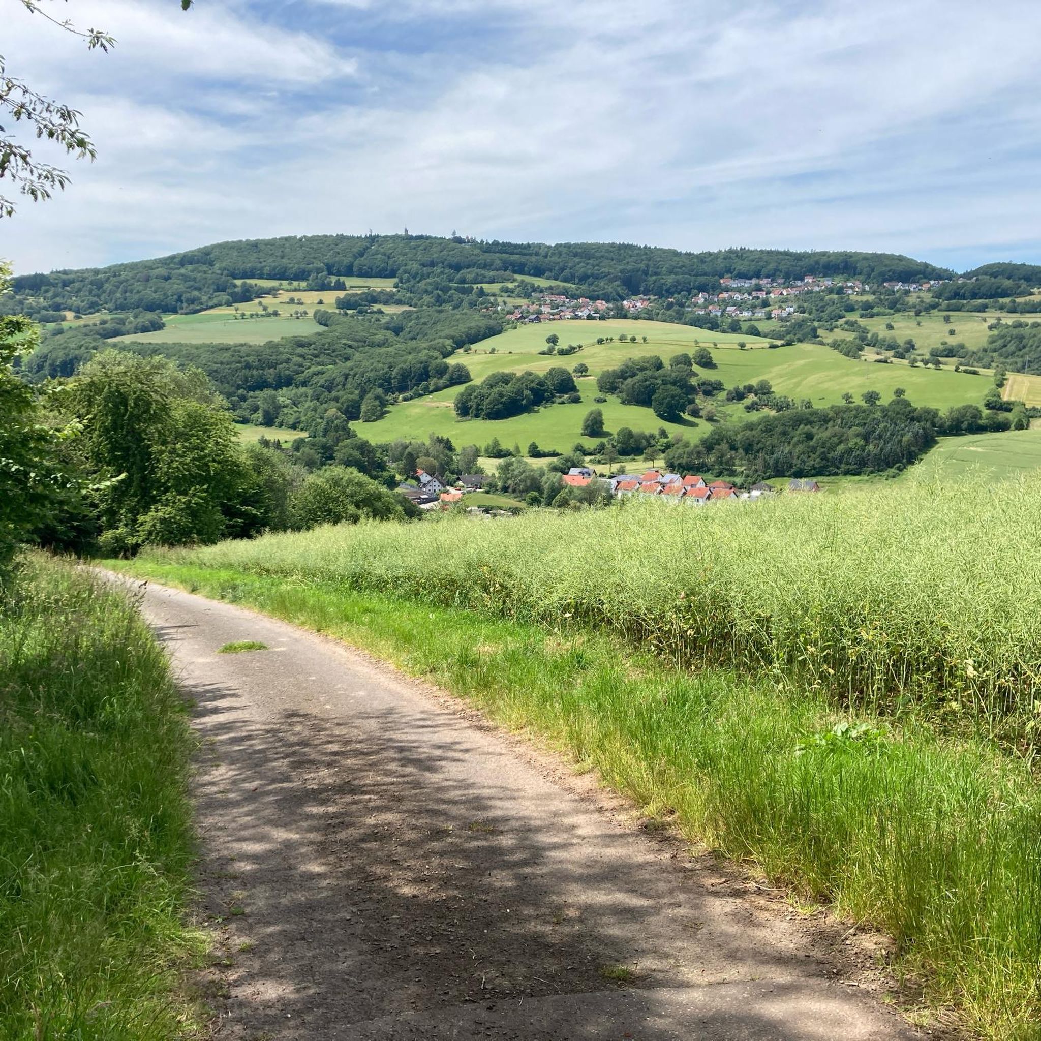
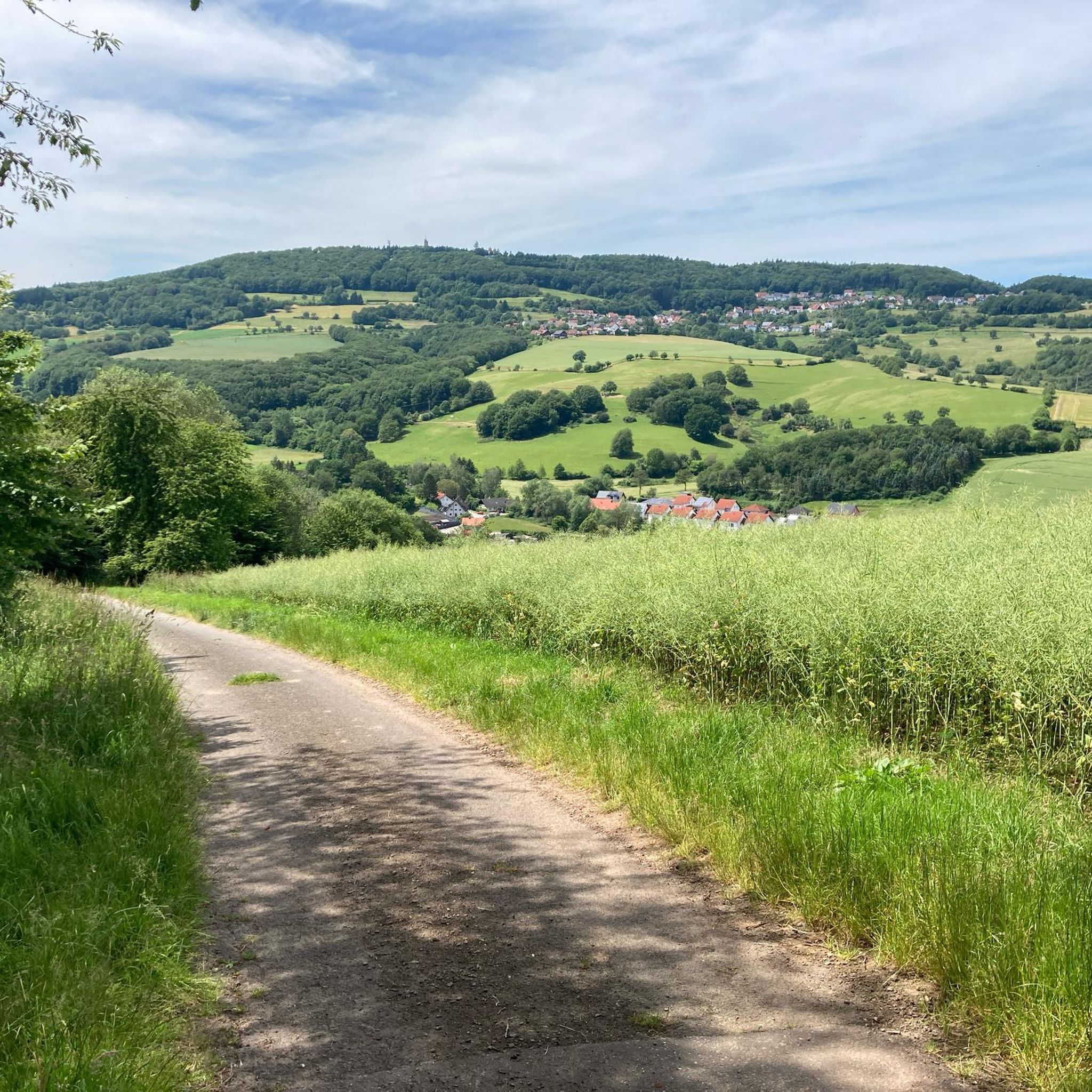
Hiking around Oberstaufenbach is characterized by its location in the North Palatine Uplands, featuring rolling hills and dense forests. The region is situated in the Reichenbach valley and at the foot of the Potzberg mountain, with elevations ranging from 240 to 400 meters above sea level. This diverse topography provides a dynamic environment for exploration, including rock formations and vantage points within the Pfälzerwald biosphere reserve.
Best hiking trails around Oberstaufenbach
- The most popular hiking route is Hilschberg loop from Reichenbach, a 4.8 miles (7.7 km) trail that takes 2 hours 4 minutes to complete. This moderate route offers varied terrain through local woodlands.
- Another top favourite among local hikers is Reichenbach War Memorial – View of Reichenbach-Steegen loop from Reichenbach, an easy 3.2 miles (5.1 km) path. This trail provides views of the surrounding valley.
- Local hikers also love the Schützenbrunnen – Signpost in Potzberg Forest loop from Neunkirchen am Potzberg, a 4.7 miles (7.5 km) trail leading through dense forest paths, often completed in about 2 hours 15 minutes.
- Hiking around Oberstaufenbach is defined by rolling hills, dense forests, and scenic river valleys, including the Glan and Reichenbach. The network offers options for different ability levels, from easy walks to more challenging ascents.
- The routes in Oberstaufenbach are highly rated by the komoot community with an average score of 4.6 stars from over 2,600 reviews. More than 11,000 hikers have used komoot to explore Oberstaufenbach's varied terrain.
Last updated: May 14, 2026
4.5
(2)
23
hikers
7.66km
02:05
110m
110m
Moderate hike. Good fitness required. Easily-accessible paths. Suitable for all skill levels.
5.0
(1)
19
hikers
23.0km
06:26
450m
450m
Hard hike. Very good fitness required. Easily-accessible paths. Suitable for all skill levels.

Sign up for free
5.0
(2)
13
hikers
Easy hike. Great for any fitness level. Easily-accessible paths. Suitable for all skill levels.
5.0
(1)
8
hikers
7.64km
02:17
250m
250m
Moderate hike. Good fitness required. Easily-accessible paths. Suitable for all skill levels.
6
hikers
14.1km
04:12
430m
430m
Moderate hike. Good fitness required. Easily-accessible paths. Suitable for all skill levels.
Get access to more routes and recommendations from other explorers.
Sign up for free
Already have an account?
Our route recommendations are based on thousands of hikes, rides, and runs completed by other people on komoot.
Start today with a free account
Your next adventure awaits.
Login or Signup

Tips from the Community

The Schützenbrunnen is a historic spring with a pond in the forest above Neunkirchen am Potzberg, created in 1894. The idyllic spot, redesigned in 1996 at approx. 430 m altitude, is a popular hiking destination with seating, surrounded by old trees, accessible via hiking trails.
1
0
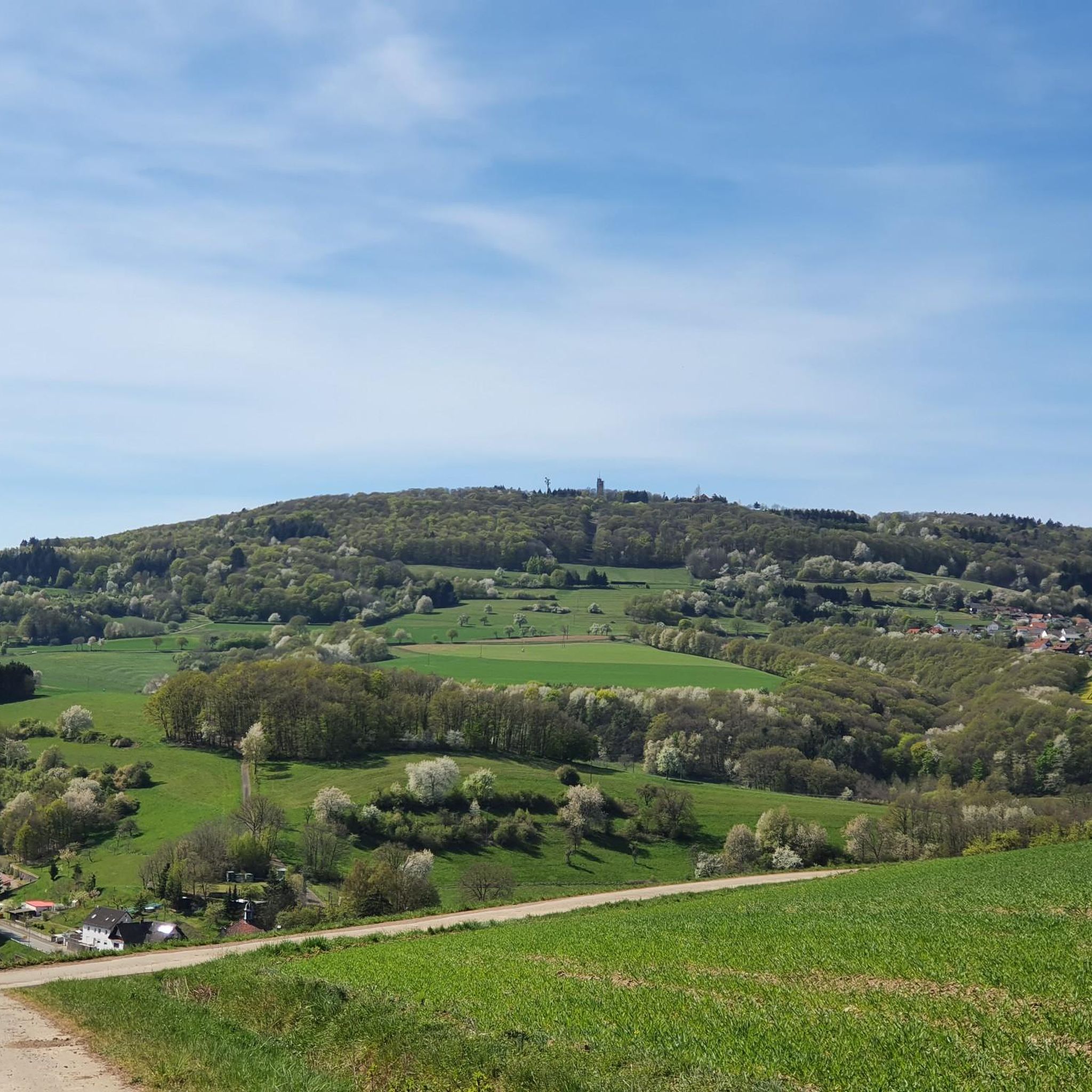
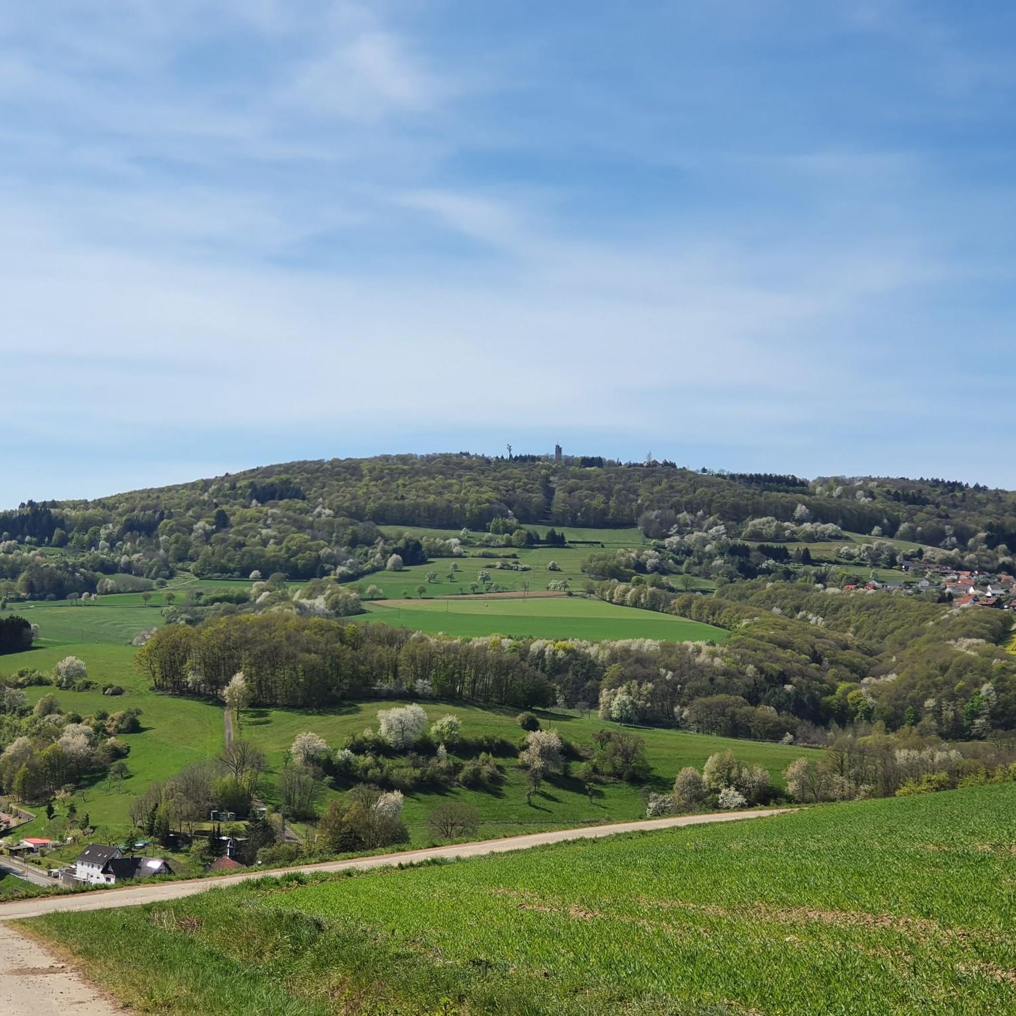
The Potzbergturm is a 35-meter-high sandstone tower on the 562-meter-high Potzberg near Föckelberg (Kusel district). It was built in 1951 (inauguration 13.07.1952), offers a wide view over the Palatinate Forest to the Vosges mountains and is a popular excursion destination. Next to the tower, there is a wildlife park, a falconry, and a hotel-restaurant (closed). It is located on the summit of Potzberg, near Föckelberg (Westpfalz) and offers a panoramic view over Westpfalz, the Palatinate Forest, and up to the Hunsrück/Vosges.
1
0
The Potzbergturm is a 35-meter-high sandstone tower on the 562-meter-high Potzberg near Föckelberg (Kusel district). It was built in 1951 (inauguration 13.07.1952), offers a wide view over the Palatinate Forest to the Vosges mountains and is a popular excursion destination. Next to the tower, there is a wildlife park, a falconry, and a hotel-restaurant. It is located on the summit of Potzberg, near Föckelberg (Westpfalz) and offers a panoramic view over Westpfalz, the Palatinate Forest, and up to the Hunsrück/Vosges. Opening hours: There are no specific, official closing times for the tower.
1
0

Great view over the Palatinate region!
0
0

5 movement stones along the path
0
0

The Schützenbrunnen spring is located at an elevation of approximately 430 meters in the forest near Neunkirchen am Potzberg and was created in 1894. The circular pond was created on an old ore dump and is fed by a tunnel spring. Due to its low pH, the water is not drinkable, but it provides a habitat for rare animals such as fire salamanders and grass snakes. Local festivals used to take place here, and as early as the 18th century, the spring water was considered to have medicinal properties. The surrounding old Douglas firs and beeches date back to Bavarian times.
3
1

Here you can see Jacob Heil, Otto Feick's grandfather. As a village blacksmith in Reichenbach, he laid the foundation for the workshop where the first ideas for the Rhönrad (gymnastic wheel) were born. 💡 Tip: There's often a family story behind every invention. Anyone who ventures into this place will sense how closely heritage and craftsmanship are intertwined.
0
1
This is how it all began: This simple toy wheel with wooden boards and iron hoops marks the origin of the Rhönrad (gymnastic wheel) – handcrafted, born of childlike curiosity. 💡 Tip: This wheel isn't just an exhibit – it symbolizes the power of making, when an idea becomes reality.
0
1
Frequently Asked Questions
How many hiking trails are available around Oberstaufenbach?
There are over 890 hiking routes available around Oberstaufenbach, offering a wide range of options for different skill levels and preferences. The komoot community has explored over 11,000 tours in the area.
What is the best time of year to go hiking in Oberstaufenbach?
The most favorable seasons for hiking in Oberstaufenbach are spring, when wildflowers bloom across the landscape, and autumn, when the foliage displays vibrant colors. These seasons offer pleasant temperatures and beautiful scenery.
Are there any family-friendly hiking trails in Oberstaufenbach?
Yes, Oberstaufenbach offers child-friendly routes suitable for families. The region research mentions the 'Zauberwaldweg' (Magic Forest Trail) as an example, designed for playful forest exploration. Many of the easy-rated trails are also suitable for families.
Are there any circular hiking routes around Oberstaufenbach?
Yes, the area features a variety of circular walks. A popular specific route is the circular hike from Reichenbach-Steegen to the Potzberg, which offers excellent views. You can also explore routes like the Hilschberg loop from Reichenbach, which is a moderate 7.7 km trail through woodlands.
What kind of terrain and elevation can I expect on hikes in Oberstaufenbach?
Oberstaufenbach is situated in the North Palatine Uplands, characterized by rolling hills and dense forests. Elevations range from 240 to 400 meters above sea level, providing a dynamic environment with varied terrain. You'll find paths winding through forests, some with moderate ascents, and others offering easier walks.
What natural features or viewpoints can I discover on hikes in the region?
The region boasts fascinating rock formations and numerous vantage points with spectacular views of the surrounding natural beauty. The Potzberg mountain, often called the 'King of the Westrich,' features the Potzberg Tower, offering impressive lookout opportunities. You can also find natural monuments like the Bismarcklinde and Luitpoldlinde limetrees.
Are there any long-distance hiking options near Oberstaufenbach?
Yes, a major highlight for long-distance hikers is the 'Palatinate Forest Trail,' a 46-kilometer quality hiking trail. This route is suitable for both single-day excursions and multi-day adventures, allowing for extensive exploration of the region's natural beauty.
What do other hikers enjoy most about hiking in Oberstaufenbach?
The area is highly rated by the komoot community, with an average score of 4.6 stars from over 2,600 reviews. Hikers often praise the diverse topography, the well-marked paths through dense forests, and the variety of routes suitable for all difficulty levels.
Are there any dog-friendly hiking trails in Oberstaufenbach?
Many of the trails in Oberstaufenbach are suitable for hiking with dogs, especially those winding through the dense forests and rolling hills. It's always recommended to keep dogs on a leash, especially in nature reserves or near wildlife, and to check local regulations for specific trails.
What attractions are there beyond hiking trails in Oberstaufenbach?
Beyond hiking, you can explore historical sites like Lichtenberg Castle, Nanstein Castle, and the ruins of Neu-Wolfstein Castle. For wildlife, visit the Wildlife park and Greifvogelzoo Potzberg. The Seewoog lake offers a relaxing spot, and cultural insights can be gained at the Kusel Museum.
Are there easy hiking trails suitable for beginners in Oberstaufenbach?
Yes, Oberstaufenbach offers a good selection of easy trails perfect for beginners or those looking for a relaxed walk. An example is the Reichenbach War Memorial – View of Reichenbach-Steegen loop from Reichenbach, an easy 5.1 km path providing views of the surrounding valley.
What are the options for parking when hiking in Oberstaufenbach?
While specific parking locations for every trailhead are not listed, Oberstaufenbach is a village well-suited for outdoor activities. Generally, you can expect to find parking options near popular trailheads or in the village center. It's advisable to check local signage upon arrival for designated parking areas.
Most popular routes around Oberstaufenbach
Most popular attractions around Oberstaufenbach

Get inspired with the komoot mobile app


Explore more
Browse the best Hikes in other regions.
