The best traffic-free bike rides around Oberstaufenbach
4.6
(150)
2,480
riders
7
rides
No traffic road cycling routes around Oberstaufenbach traverse a landscape characterized by rolling hills, dense forests, and stream valleys. The region, situated in the North Palatine Uplands, features varied topography with elevations ranging from 240 to 400 meters above sea level, offering both relatively flat sections and elevated climbs. Many routes utilize former railway lines, providing smooth paths through picturesque valleys like the Reichenbach and Glan. This diverse terrain makes Oberstaufenbach suitable for various road cycling experiences.
Best no traffic…
Last updated: July 11, 2026
4.3
(6)
54
riders
36.2km
01:32
180m
180m
Moderate road ride. Great for any fitness level. Some segments of this route may be unpaved and difficult to ride.
5.0
(1)
21
riders
20.1km
00:55
140m
140m
Moderate road ride. Great for any fitness level. Some segments of this route may be unpaved and difficult to ride.

Sign up for free
9
riders
26.2km
01:25
170m
170m
Moderate road ride. Great for any fitness level. Some segments of this route may be unpaved and difficult to ride.
5.0
(1)
6
riders
41.3km
01:47
260m
260m
Moderate road ride. Great for any fitness level. Some segments of this route may be unpaved and difficult to ride.
5
riders
Moderate road ride. Great for any fitness level. Some segments of this route may be unpaved and difficult to ride.
Get access to more routes and recommendations from other explorers.
Sign up for free
Already have an account?
Our route recommendations are based on thousands of hikes, rides, and runs completed by other people on komoot.
Start today with a free account
Your next adventure awaits.
Login or Signup
Popular around Oberstaufenbach
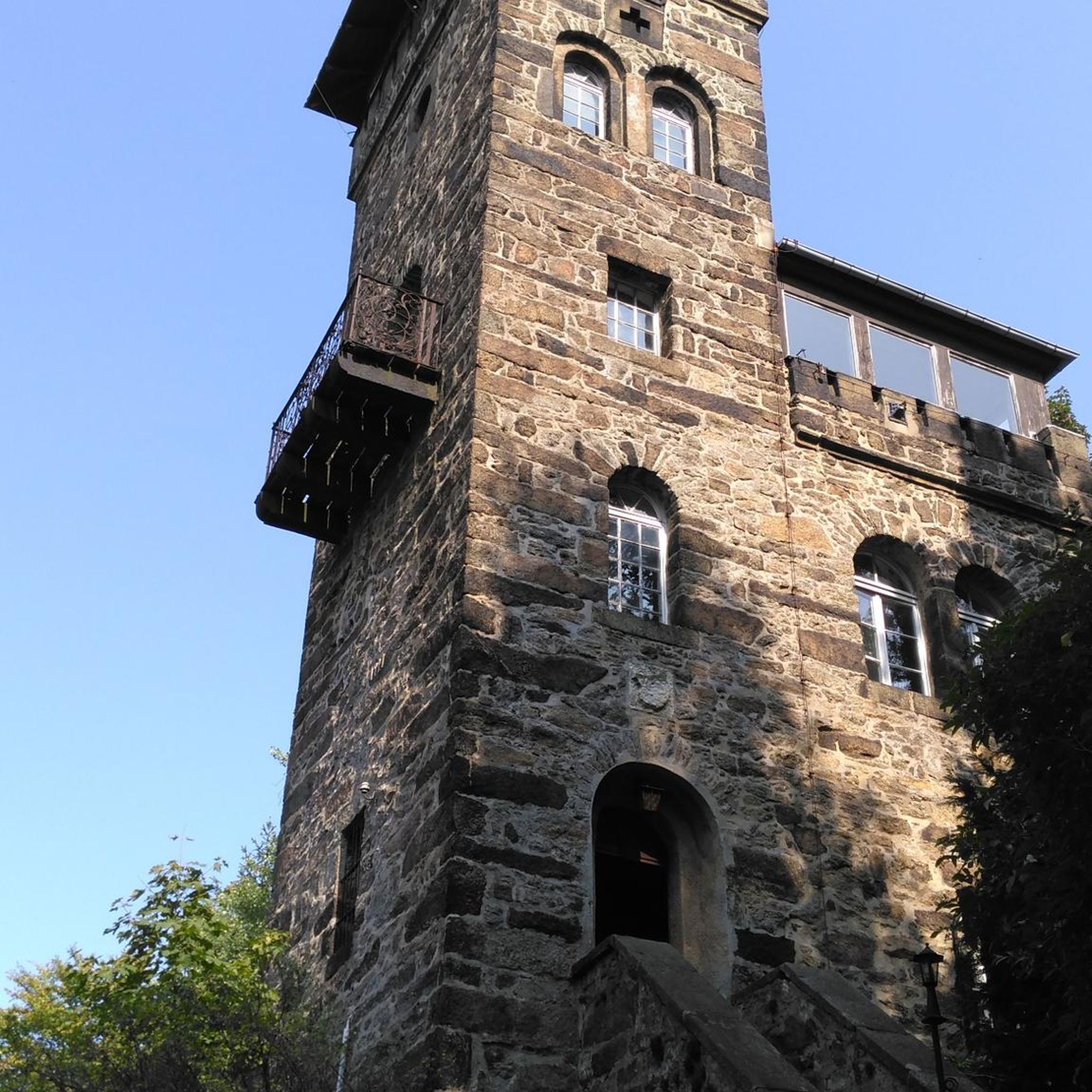
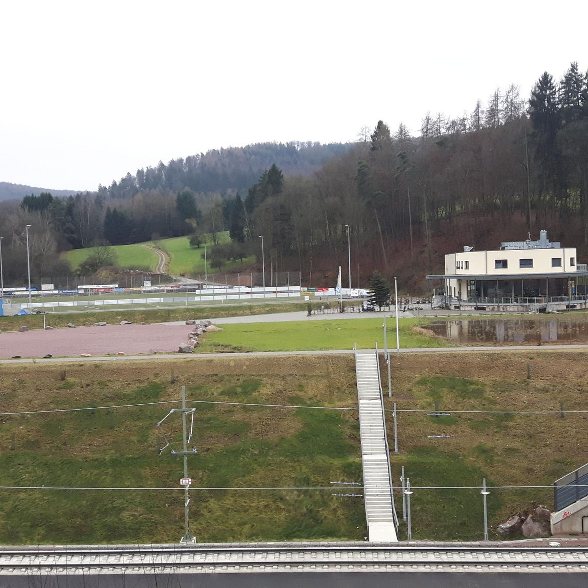
Tips from the Community

Since I know what I'm talking about, I've reported it. Nonsense facts and 2 places thrown together... plus duplicate, the main thing is to have created something here....
0
0

the parts look nice
0
0
nicely done that part
0
0
very good bike path
0
0
Beautiful cycle path along the sculpture
0
0
beautiful horses along the bike path
0
0
next to it super bike path
0
0

Frequently Asked Questions
How many no-traffic road cycling routes are available around Oberstaufenbach?
There are 10 moderate no-traffic road cycling routes around Oberstaufenbach featured in this guide. These routes are designed to offer a pleasant experience away from heavy vehicle traffic, allowing you to enjoy the scenic Rhineland-Palatinate region.
What kind of terrain can I expect on these no-traffic road cycling routes?
The routes around Oberstaufenbach feature a varied topography, ranging from 240 to 400 meters above sea level. You'll encounter rolling hills and dense forests, with some routes following stream valleys and former railway lines for flatter sections, while others offer more challenging elevated climbs. For example, the Sculpture Trail in Mohrbachtal – View of Potzberg loop from Reichenbach includes over 300 meters of elevation gain.
Are there any notable landmarks or natural features to see along the no-traffic cycling routes?
Yes, the region is rich in natural beauty and historical sites. You can cycle past picturesque stream valleys like the Reichenbach and Glan, and enjoy views of the Potzberg. Highlights include the Seewoog lake, which is part of the 'Palatinate Lakes Tour' cycle route, and the Selberg Tower, offering panoramic views. Lichtenberg Castle, one of Germany's longest castle ruins, also provides a spectacular backdrop to the area.
What do other road cyclists enjoy most about the no-traffic routes in Oberstaufenbach?
The area is highly rated by the komoot community, with an average score of 4.6 out of 5 stars from 134 ratings. Reviewers often praise the quiet, scenic nature of the routes, the diverse landscapes, and the opportunity to cycle away from traffic, making for a relaxing and enjoyable experience.
Are there any family-friendly no-traffic cycling options?
While all routes are moderate, many of the paths that follow stream valleys or former railway lines tend to have fewer inclines, making them more accessible. For instance, the Playground – Sculpture "Pulpito/Pulpit" loop from Weilerbach is a shorter option at just over 20 km with moderate elevation, which could be suitable for families with some cycling experience.
Can I find places to rest or eat along these routes?
Yes, several routes pass by or near spots where you can take a break. For example, the Seewoog lake features a beer garden, offering a pleasant spot for refreshment. You may also find huts like Bernd's Log Cabin or Dümmler Hut in the broader area, which can be incorporated into longer rides.
Are there any circular no-traffic road cycling routes available?
Yes, all the routes listed in this guide are circular, allowing you to start and end at the same point. An example is the Krausenbruch Wetlands loop from Reichenbach, which offers a scenic 26.6 km ride.
What is the best time of year for no-traffic road cycling in Oberstaufenbach?
The region's diverse landscapes, including dense forests and stream valleys, are beautiful throughout the warmer months. Spring and autumn offer pleasant temperatures and vibrant scenery, while summer provides longer daylight hours. Always check local weather conditions before heading out.
Where can I park my car to access these no-traffic road cycling routes?
Many routes start from towns like Reichenbach, Theisbergstegen, or Weilerbach, where public parking is generally available. It's advisable to check specific starting points for parking facilities when planning your tour. For example, the Weilerbach Celtic Wagon Grave – Silver Lake loop from Reichenbach begins in Reichenbach, a common access point for local routes.
Are there any longer no-traffic road cycling routes for more experienced cyclists?
While all routes in this guide are classified as moderate, some offer longer distances and more elevation. The Weilerbach Celtic Wagon Grave – Silver Lake loop from Reichenbach, at over 41 km with 255 meters of elevation, provides a good challenge for those looking for a longer ride away from traffic.
Can I combine cycling with exploring historical sites?
Absolutely. The region is dotted with historical points of interest. While cycling the Stork Aviary Theisbergstegen – Sculpture Trail in Mohrbachtal loop from Theisbergstegen, you can enjoy the cultural elements of the Sculpture Trail. The ruins of Alt- and Neu-Wolfstein Castles are also nearby and offer beautiful views, making them excellent destinations to incorporate into a cycling tour.
Most popular routes around Oberstaufenbach
Most popular attractions around Oberstaufenbach

Get inspired with the komoot mobile app


Explore more
Browse the best Road cycling routes in other regions.
