The best walks and hikes around Oberschönau
4.6
(22127)
80,159
hikers
55
hikes
Hiking around Oberschönau offers diverse trails within the scenic Thuringian Forest, characterized by lush flora and varied terrain. The region features numerous well-maintained paths leading through woodlands and past natural rock formations. Hikers can find routes with significant elevation changes, leading to various viewpoints. The landscape includes hills and valleys, providing a range of experiences from moderate walks to more challenging ascents.
Best hiking trails around Oberschönau
- The most popular hiking route is Hohe Möst Viewpoint – View from Hoher Stein loop from Oberschönau, a 9.2 miles (14.7 km) moderate trail that takes 4 hours 24 minutes to complete. This route offers rewarding views from prominent viewpoints.
- Another top favourite among local hikers is Kanzlersgrund – Haselbach Spring loop from Kanzlersgrund, Gasthaus, a moderate 5.5 miles (8.8 km) path. This trail winds through forested areas and along streams, showcasing the natural beauty of the Thuringian Forest.
- Local hikers also love the Hohe Möst Viewpoint – Katzensteine Rocky Outcrop loop from Oberschönau, a 8.0 miles (12.9 km) trail leading through diverse forest landscapes and past notable rock formations, often completed in about 3 hours 57 minutes.
- Hiking around Oberschönau is defined by the dense Thuringian Forest, numerous viewpoints, and natural rock formations like the Katzensteine. The network offers options for different ability levels, from moderate walks to more difficult ascents.
- The routes in Oberschönau are highly rated by the komoot community with an average score of 4.6 stars from over 5000 reviews. More than 22000 hikers have used komoot to explore Oberschönau's varied terrain.
Last updated: May 14, 2026
4.8
(180)
630
hikers
14.8km
04:24
430m
430m
Moderate hike. Good fitness required. Mostly accessible paths. Sure-footedness required.
5.0
(21)
74
hikers
12.9km
03:57
410m
410m
Moderate hike. Good fitness required. Mostly accessible paths. Sure-footedness required.

Sign up for free
4.8
(20)
70
hikers
9.89km
03:06
360m
360m
Moderate hike. Good fitness required. Mostly accessible paths. Sure-footedness required.
4.5
(10)
27
hikers
Hard hike. Very good fitness required. Mostly accessible paths. Sure-footedness required.
4.9
(10)
45
hikers
14.3km
04:19
430m
430m
Hard hike. Good fitness required. Sure-footedness, sturdy shoes and alpine experience required.
Get access to more routes and recommendations from other explorers.
Sign up for free
Already have an account?
Our route recommendations are based on thousands of hikes, rides, and runs completed by other people on komoot.
Start today with a free account
Your next adventure awaits.
Login or Signup
Popular around Oberschönau
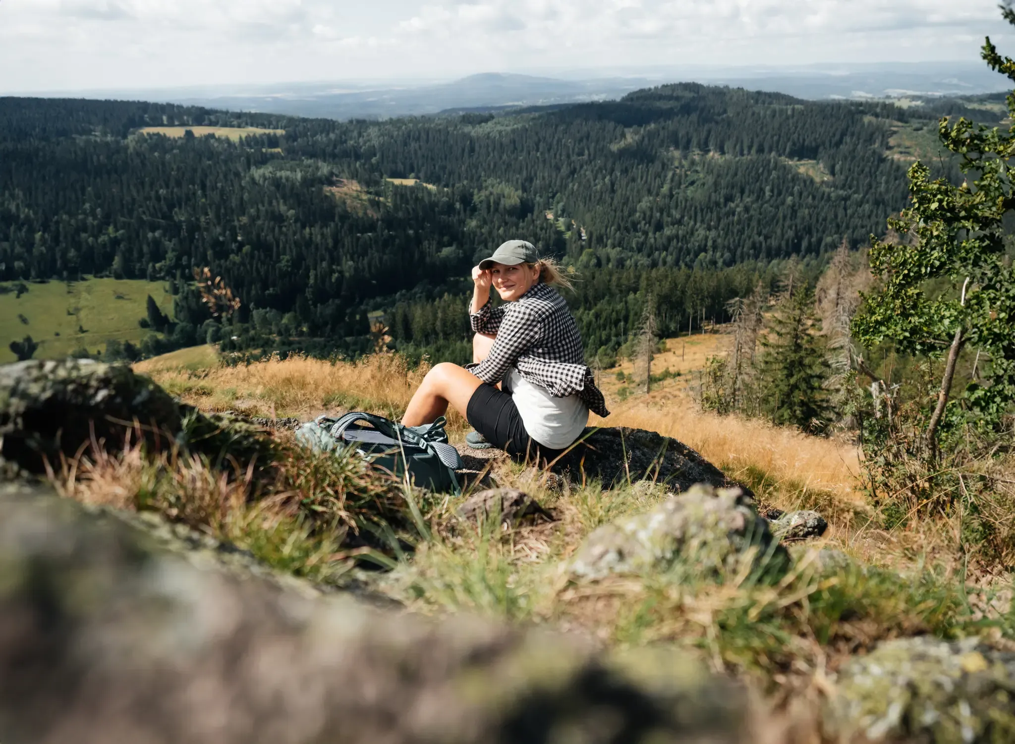
More than 'just' trees – Draußen in the Thuringian Forest
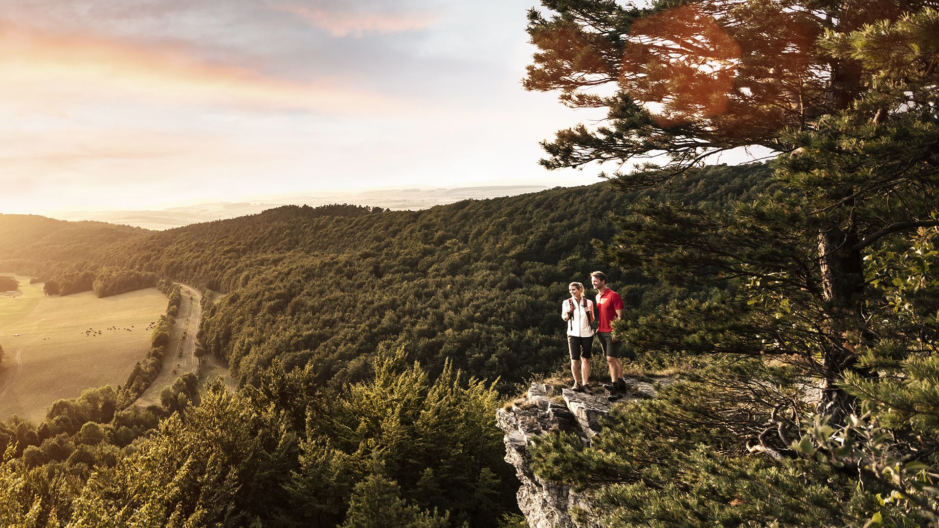
Spend time outdoors – active hikes in Germany’s Thuringia
Running Trails around Oberschönau
Cycling around Oberschönau
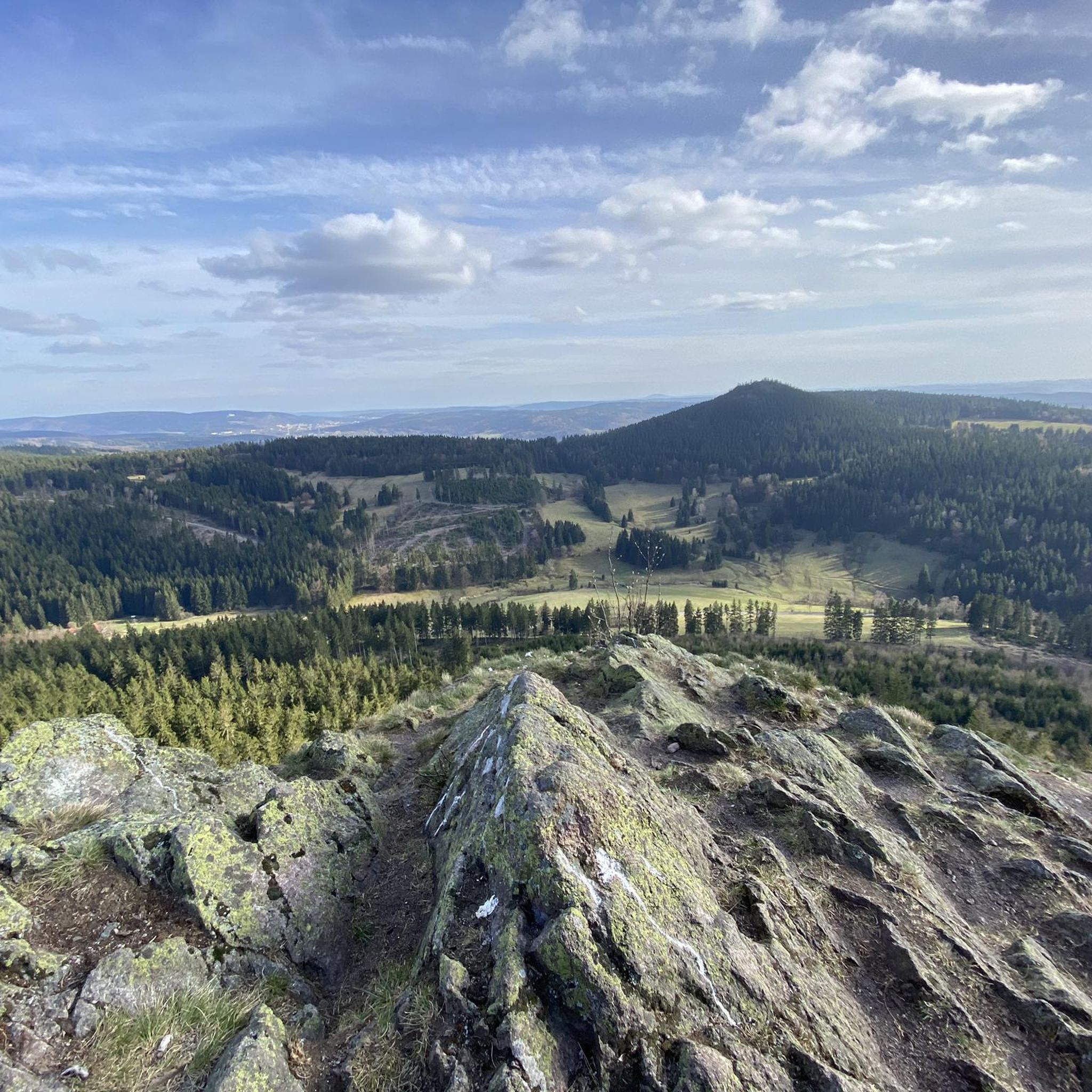
MTB Trails around Oberschönau
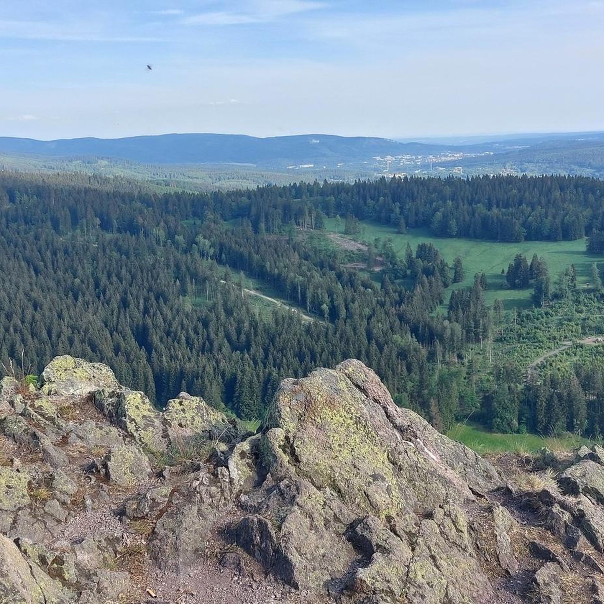
Road Cycling Routes around Oberschönau

Gravel biking around Oberschönau
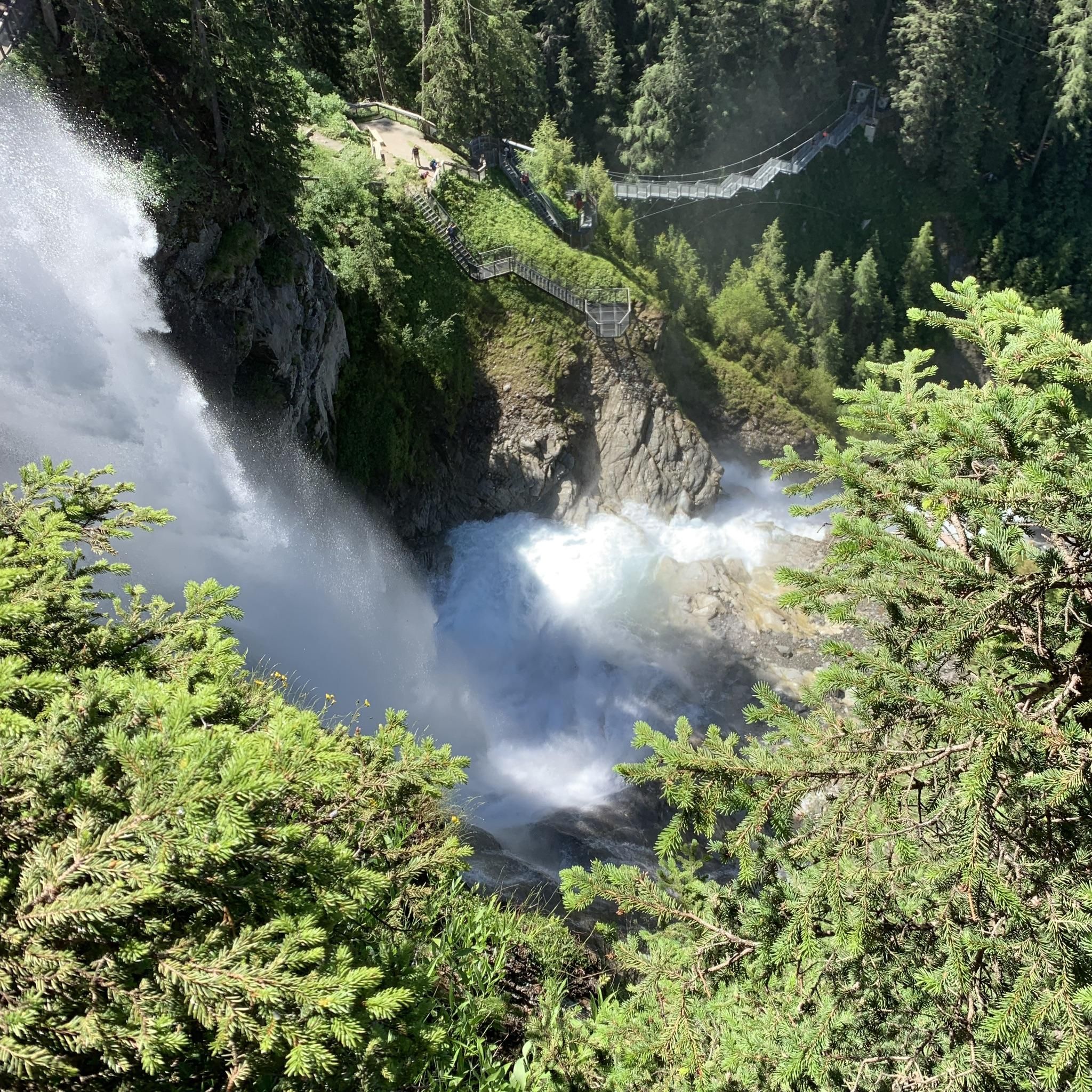
Mountain Hikes around Oberschönau


Tips from the Community


Oberschönauer Felsenwanderung. Stamp point 12 Apostel
0
0


A striking eye-catcher, the West Ascent is not for the inexperienced.
2
0
It even had a stamp station, and rightly so, even though we didn't have a view. But it was a winter wonderland.
5
0

Great rest area with plenty of seating and a small shelter.
0
0

Frequently Asked Questions
How many hiking trails are available in Oberschönau?
Oberschönau offers a wide variety of hiking experiences, with over 50 marked trails. These routes cater to different preferences, ranging from easy strolls to more challenging ascents within the Thuringian Forest.
What kind of terrain can I expect on hikes around Oberschönau?
The terrain around Oberschönau is diverse, characterized by the dense Thuringian Forest, rolling hills, and valleys. You'll find well-maintained paths, some with significant elevation changes, leading through woodlands and past natural rock formations like the '12 Apostles' and 'High Möst'. Many trails offer rewarding views from various viewpoints.
Are there easy hiking trails suitable for beginners or casual walkers?
Yes, Oberschönau has 13 easy hiking trails. These routes are generally well-maintained and offer a gentler experience, allowing you to enjoy the natural beauty of the Thuringian Forest without strenuous climbs. The Kanzlersgrund – Haselbach Spring loop from Kanzlersgrund, Gasthaus is a moderate option that winds through forested areas and along streams, providing a pleasant walk.
Are there challenging hikes for experienced hikers in Oberschönau?
For experienced hikers, Oberschönau offers 9 difficult trails. These routes often feature significant elevation changes and longer distances, providing a more demanding experience. An example is the Ruppberg Summit Viewpoint – Sunny Hermann loop from Mehlis, which is a challenging 14.3 km hike with considerable ascent.
What viewpoints can I discover on hikes around Oberschönau?
The region is rich in impressive viewpoints. Many trails lead to scenic spots such as Hoher Stein, Sonnenplatte, Hohe Möst, and Ruppberg Summit, offering expansive vistas of the surrounding natural beauty of the Thuringian Forest. The Hoher Stein Viewpoint is a particularly notable spot.
Are there family-friendly hikes in Oberschönau?
Yes, the 'Nature Trail Oberschönau' is a family-friendly circular route starting in the center of Oberschönau. It features 24 informational panels about local animals and plants, making it an engaging and educational experience for children and adults alike.
Are there any interesting natural landmarks or attractions to see along the trails?
Beyond the stunning forest landscapes, you can encounter several natural landmarks. The climbing rocks '12 Apostles' and 'High Möst' are prominent features. Additionally, the 'Langer Grund' along the Kienbach stream offers a particularly scenic walk. You can also find various natural monuments in the area.
Can I find circular walks in Oberschönau?
Many of the trails around Oberschönau are designed as circular routes, allowing you to start and end your hike in the same location. For instance, the Hohe Möst Viewpoint – Katzensteine Rocky Outcrop loop from Oberschönau is an excellent example of a loop trail that takes you through diverse forest landscapes and past notable rock formations.
What do other hikers enjoy most about hiking in Oberschönau?
The hiking trails in Oberschönau are highly rated by the komoot community, with an average score of 4.6 stars from over 5,000 reviews. Hikers frequently praise the well-maintained paths, the diverse natural features, and the rewarding views from the numerous viewpoints across the Thuringian Forest.
Are there huts or shelters available along the hiking routes?
Yes, there are several huts and shelters in the vicinity of Oberschönau that can provide a resting spot or protection from the elements. Notable examples include the Thuringian Hut and the Wachsenrasen Stone Shelter. You can explore more options in the Huts and Cabins around Oberschönau guide.
Is parking available for hikers in Oberschönau?
Yes, Oberschönau, being a popular hiking destination, generally offers designated parking areas for hikers, especially near trailheads and key attractions. It's advisable to check local signage upon arrival for specific parking instructions and any potential fees.
Can I reach hiking trails in Oberschönau by public transport?
Oberschönau is served by local public transport, which can provide access to the village center and some starting points for hikes. For specific routes, it's recommended to check local bus schedules and connections to ensure they align with your planned hiking itinerary.
Most popular routes around Oberschönau
Most popular attractions around Oberschönau

Get inspired with the komoot mobile app


Explore more
Browse the best Hikes in other regions.
