The best mountain hikes around Oberschönau
10
hikers
6
hikes
Mountaineering routes around Oberschönau are situated in the forested hills of Landkreis Schmalkalden-Meiningen, offering varied terrain for outdoor enthusiasts. The region is characterized by undulating landscapes with moderate elevation changes, dense woodlands, and open areas providing panoramic viewpoints. These routes often traverse well-maintained paths, connecting shelters and natural features.
Best mountaineering routes around Oberschönau
- The most popular mountaineering route is Hohe Möst Viewpoint – Hohes Moos Viewpoint loop from Schützenbergmoor, a 6.0 miles (9.6 km) trail that takes 2…
Last updated: July 4, 2026
Easy mountaineering route. Great for any fitness level. Easily-accessible paths. Suitable for all skill levels.
4
hikers
7.58km
02:06
130m
130m
Moderate mountaineering route. Good fitness required. Easily-accessible paths. Suitable for all skill levels.

Sign up for free
1
hikers
12.7km
03:59
440m
440m
Hard mountaineering route. Good fitness required. Sure-footedness, sturdy shoes and alpine experience required.
1
hikers
6.89km
01:53
100m
100m
Easy mountaineering route. Great for any fitness level. Easily-accessible paths. Suitable for all skill levels.
1
hikers
15.6km
04:27
360m
360m
Moderate mountaineering route. Good fitness required. Easily-accessible paths. Suitable for all skill levels.
Our route recommendations are based on thousands of hikes, rides, and runs completed by other people on komoot.
Start today with a free account
Your next adventure awaits.
Login or Signup
Popular around Oberschönau
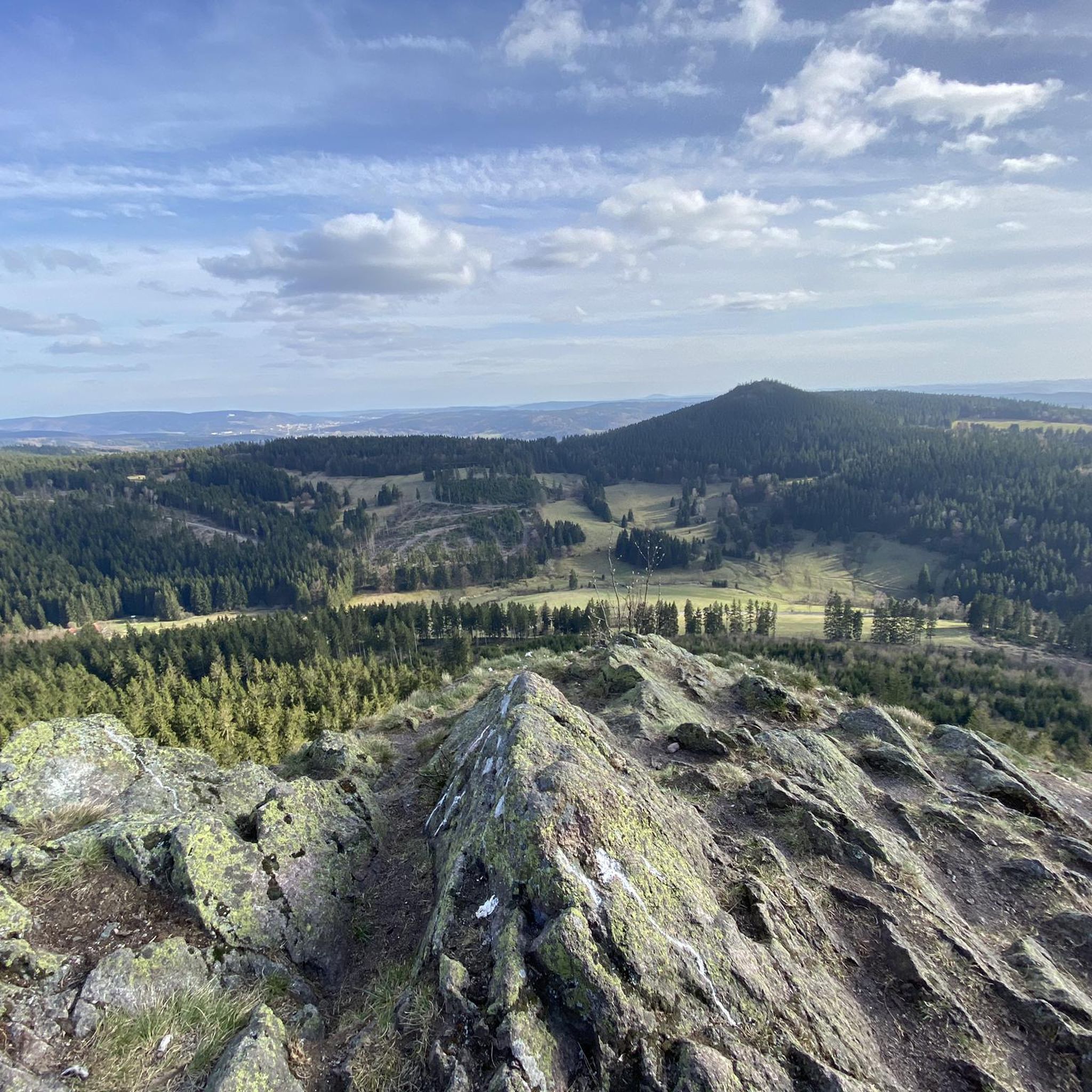
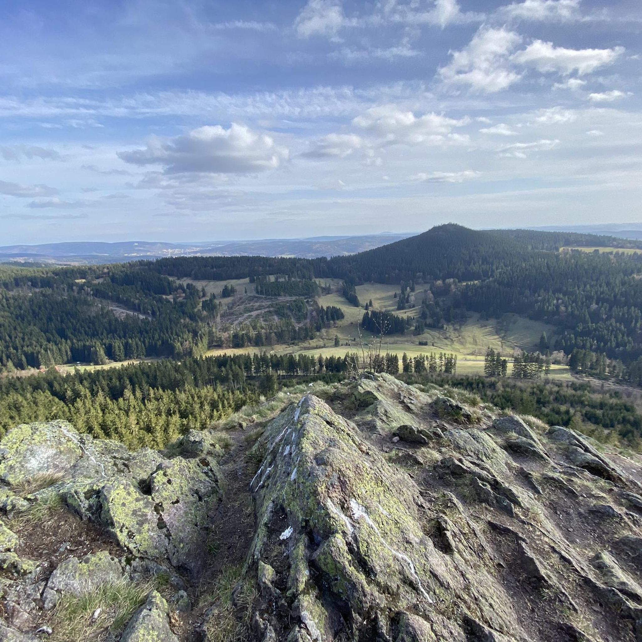
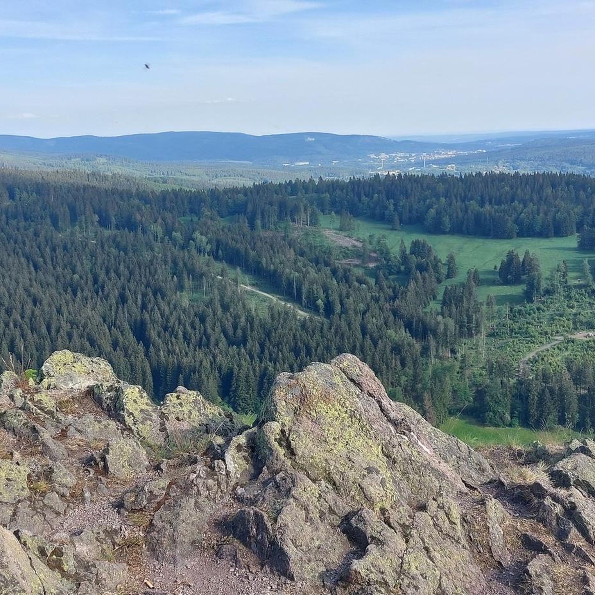



Tips from the Community


Beautiful hike with a worthwhile destination
0
0

It's a great place for hiking.
0
0


Wooden shelter with seating directly on the Rennsteig, as well as a stamping point.
6
0
Former Imperial Post Office with beautiful half-timbered architecture, built in 1889/90, today a pharmacy and residential building.
8
1

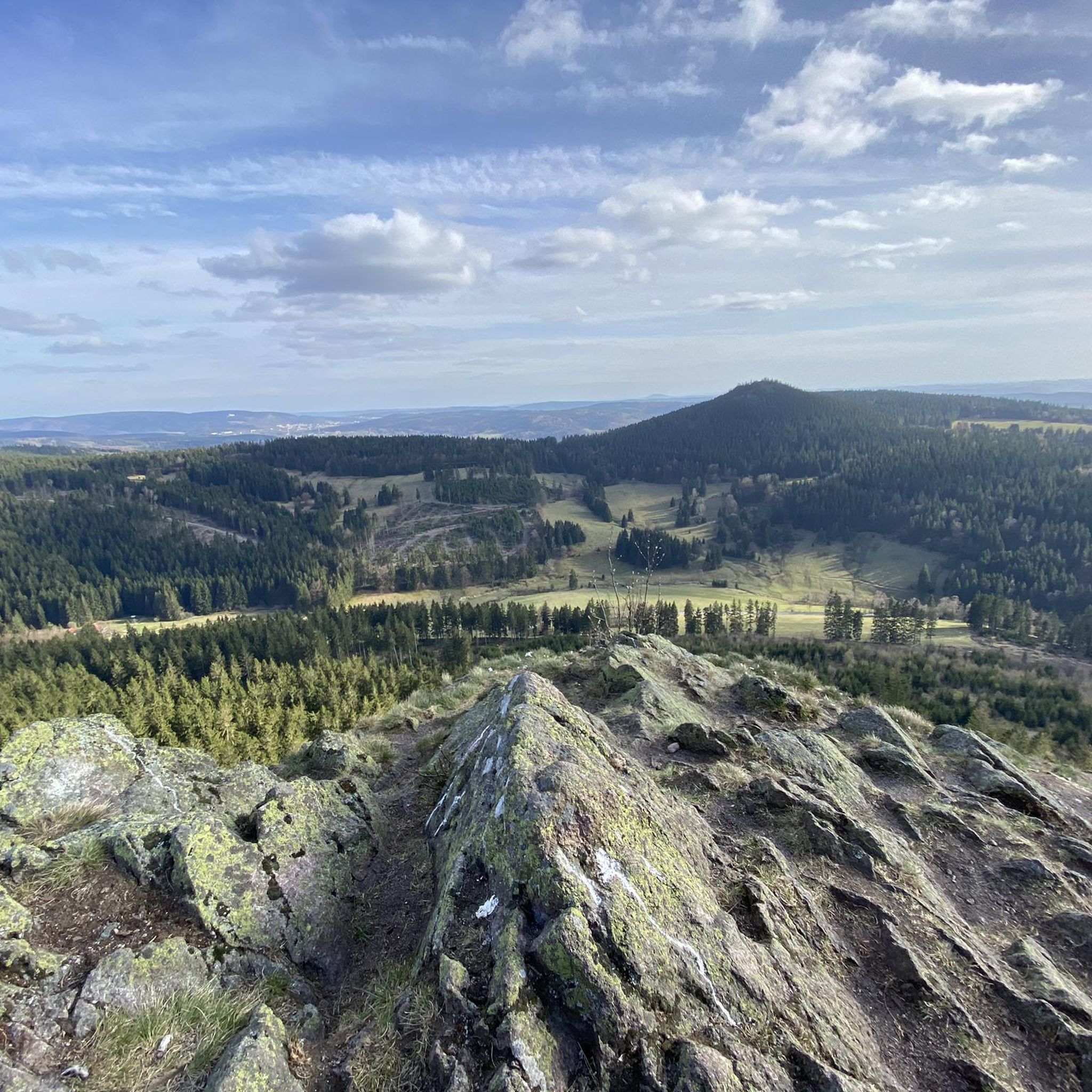
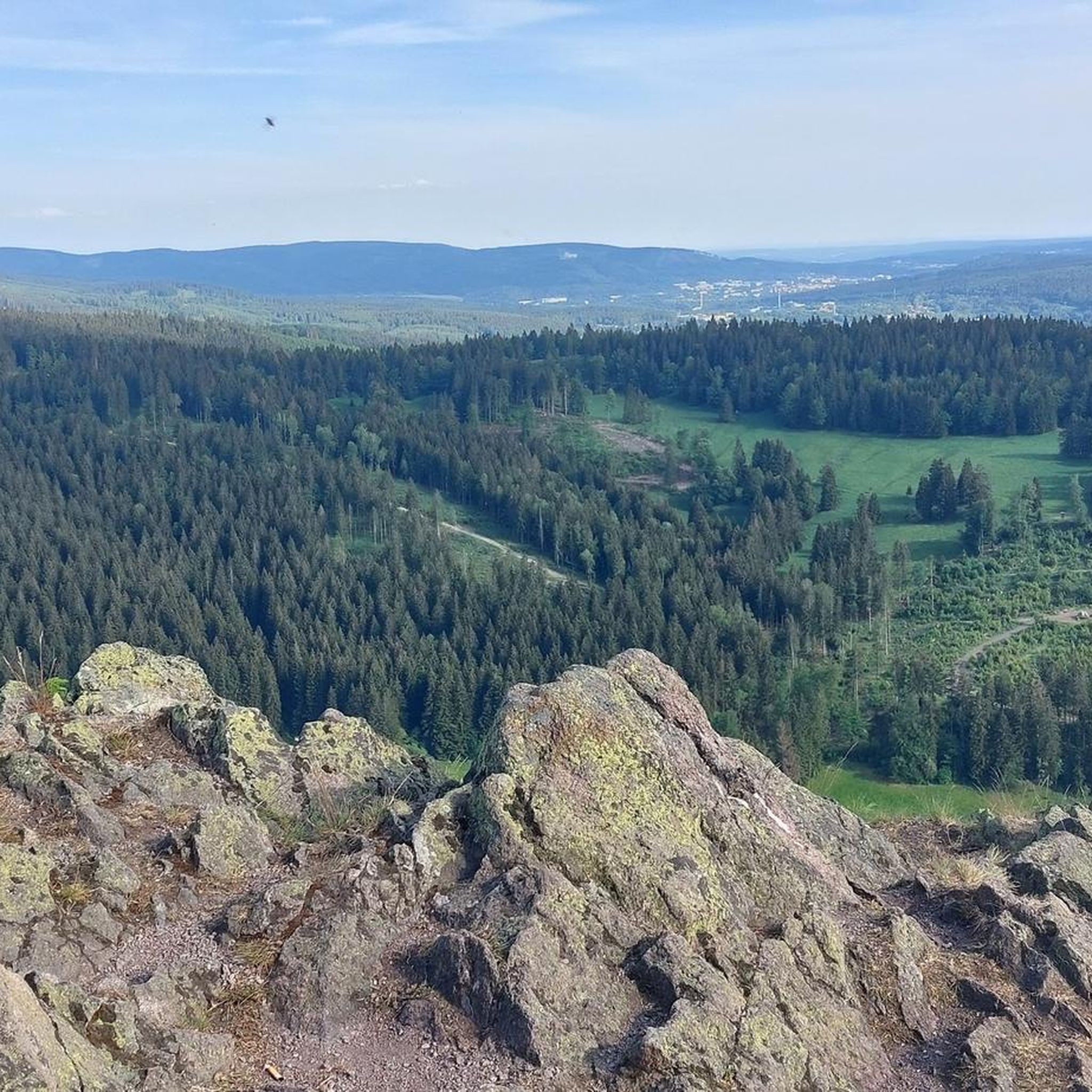
Another vantage point with views over the Thuringian Forest. The Kaltenbrunner Stein is somewhat hidden off the trail.
0
0

A very beautiful facility
11
0
Frequently Asked Questions
What kind of terrain can I expect on mountaineering routes around Oberschönau?
Mountaineering routes in Oberschönau traverse the forested hills of Landkreis Schmalkalden-Meiningen. You'll find undulating landscapes with moderate elevation changes, dense woodlands, and open areas that provide panoramic viewpoints. The paths are generally well-maintained, often connecting various shelters and natural features.
Are there easy mountaineering routes suitable for beginners in Oberschönau?
Yes, Oberschönau offers 2 easy mountaineering routes. A great option for beginners is the Axel Shelter on the Rennsteig – Grenzadler Shelter loop from Schützenbergmoor, an easy 3.6-mile (5.8 km) path that follows sections of the historic Rennsteig trail through quiet forest.
Are there any challenging mountaineering routes for experienced hikers?
For those seeking a more challenging experience, Oberschönau has 1 difficult mountaineering route. Consider the Kaltenbrunner Stein Viewpoint – Burnt Rock loop from Zella-Mehlis, which covers 7.9 miles (12.7 km) with significant elevation changes, making it the most demanding option in the area.
How long do mountaineering routes in Oberschönau typically take to complete?
The duration of mountaineering routes in Oberschönau varies. For example, the moderate Hohe Möst Viewpoint – Hohes Moos Viewpoint loop from Schützenbergmoor typically takes around 2 hours 38 minutes. Shorter, easier routes can be completed in under 2 hours, while more challenging ones might take over 4 hours.
Are there circular mountaineering routes available in Oberschönau?
Yes, many of the mountaineering routes in Oberschönau are designed as loops. Examples include the popular Hohe Möst Viewpoint – Hohes Moos Viewpoint loop from Schützenbergmoor and the Shelter "Stein 16" – Violet fountain loop from Oberhof, allowing you to start and end at the same point.
What kind of viewpoints can I find on mountaineering routes in Oberschönau?
Mountaineering routes in Oberschönau often lead to scenic viewpoints. You can find spots like the Hoher Stein Viewpoint (Touringen Stamp Point 61) or enjoy the View of Oberschönau from Hohe Möst (Touringen Stamp Station No. 62), offering expansive vistas of the surrounding Thuringian Forest landscape.
Are there any family-friendly mountaineering options in Oberschönau?
Yes, Oberschönau offers several routes suitable for families. The easier trails, such as the Oberhof – Oberhof Winter Sports Center loop from Oberhof, are generally well-maintained and have moderate distances, making them enjoyable for children and adults alike.
What do other mountaineers say about the routes in Oberschönau?
The mountaineering routes in Oberschönau are highly regarded by the komoot community, with an average score of 5.0 stars. Visitors often praise the well-maintained forested paths, the peaceful atmosphere, and the variety of routes suitable for different skill levels.
Are there any interesting natural monuments or landmarks to see along the routes?
Yes, the region around Oberschönau features several natural monuments and landmarks. You might encounter the Kachelofen Rock Formation Memorial or pass by the Gustav-Freytag-Stein Shelter, which serves as both a resting spot and a point of interest.
Is public transport an option for accessing mountaineering routes in Oberschönau?
While specific public transport connections to every trailhead can vary, Oberschönau and nearby towns like Oberhof are generally served by regional bus lines. It's advisable to check local bus schedules for routes that align with your chosen starting points.
What is the best time of year for mountaineering in Oberschönau?
The best time for mountaineering in Oberschönau is typically from spring through autumn (May to October), when the weather is mild and the trails are clear of snow. The forested paths offer pleasant shade in summer, and autumn brings beautiful foliage.
Most popular routes around Oberschönau
Most popular attractions around Oberschönau

Get inspired with the komoot mobile app


Explore more
Browse the best Mountain Hikes & Routes in other regions.
