The best MTB trails around Ober-Olm
4.5
(1836)
6,739
riders
629
rides
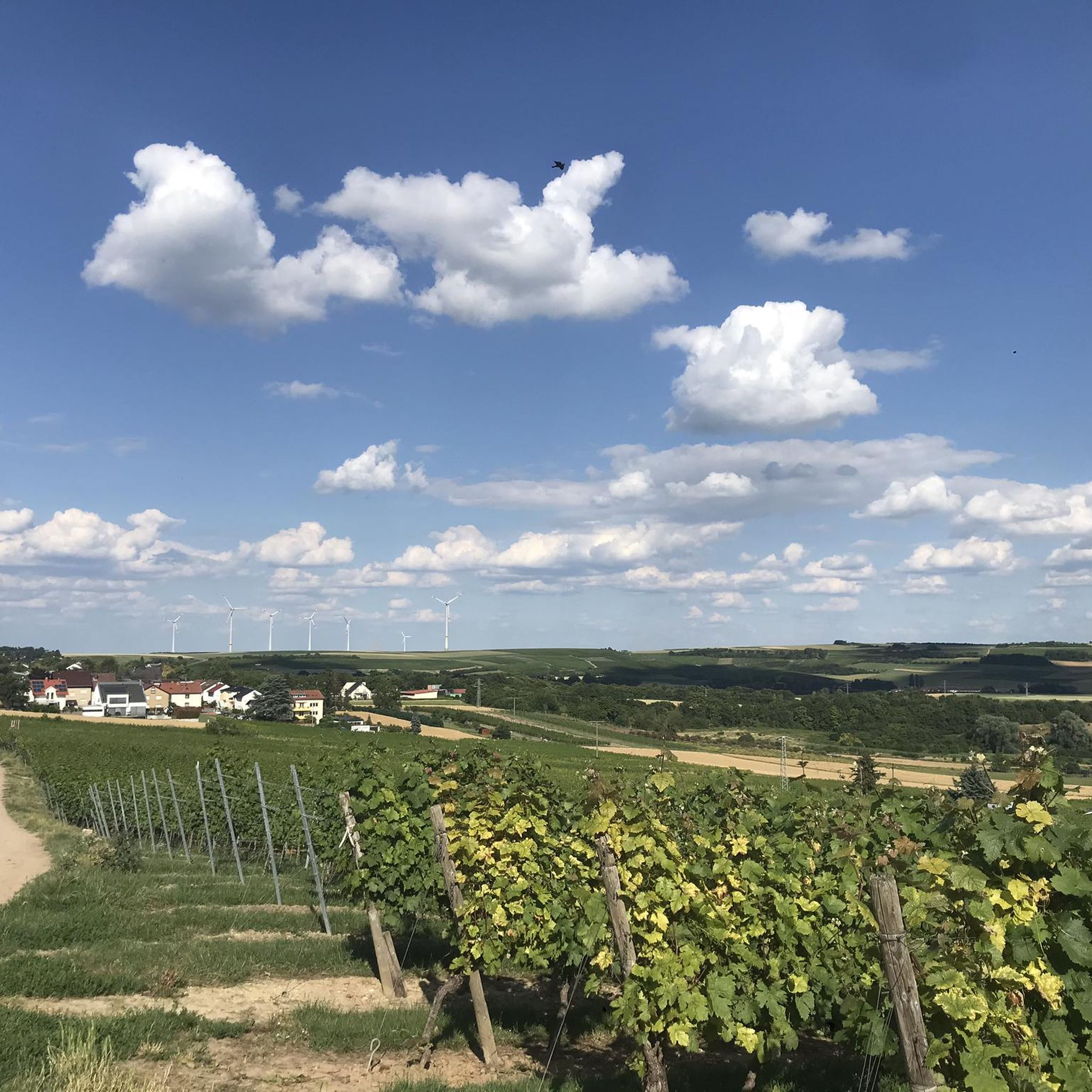
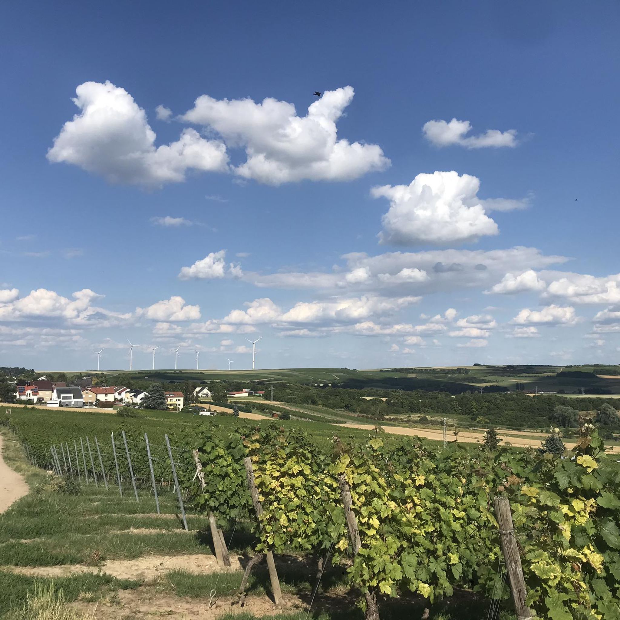
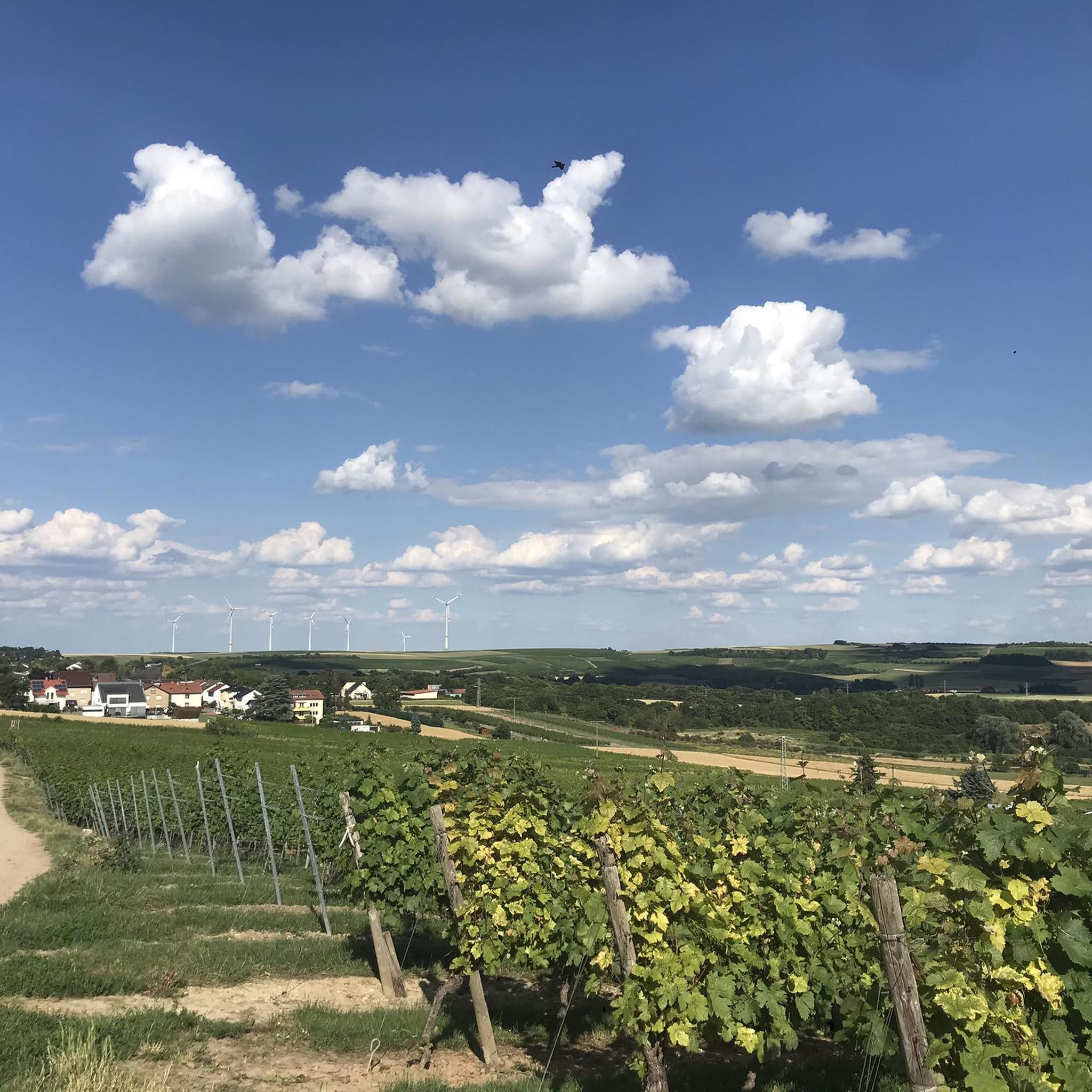
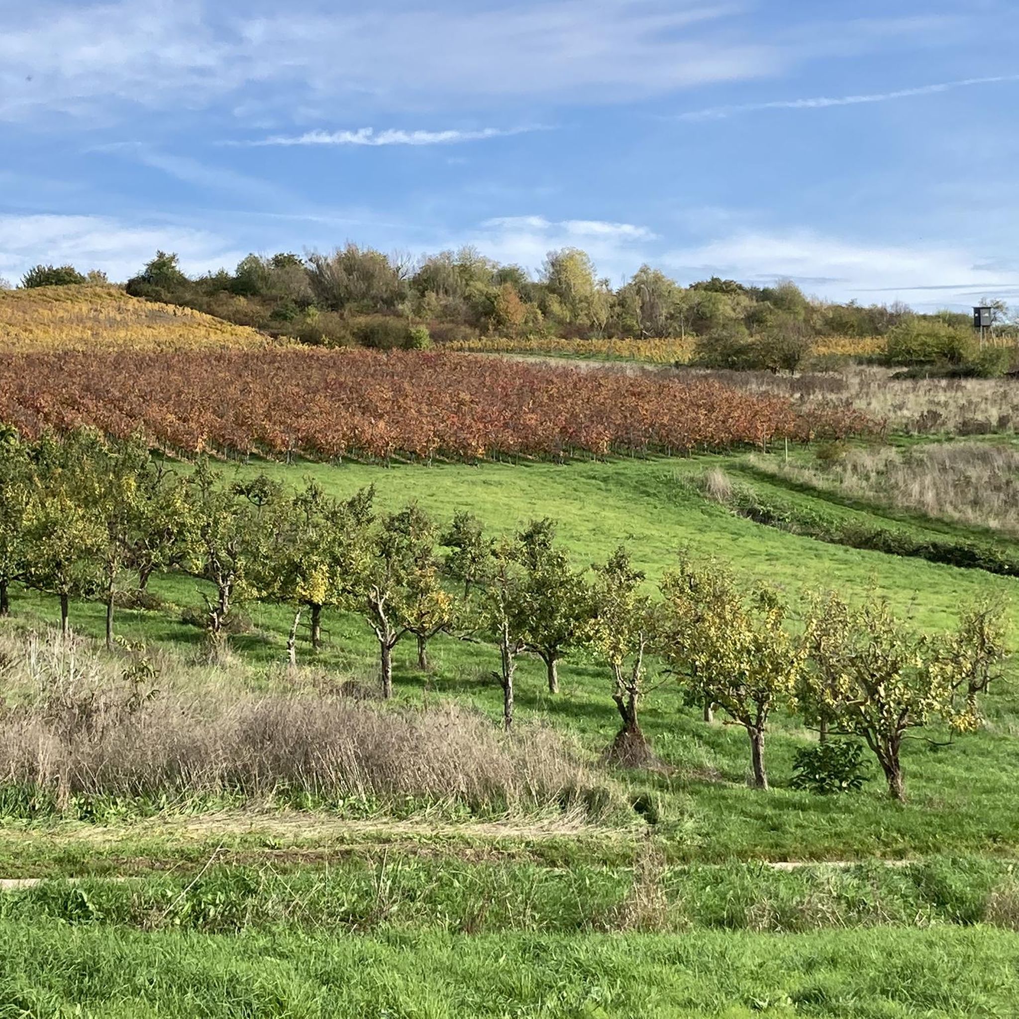
Mountain biking around Ober-Olm offers diverse terrain characterized by rolling hills, picturesque vineyards, and extensive forest areas like the Ober-Olmer Wald. The region's proximity to the Rhine River also provides flatter routes alongside more challenging trails. This varied landscape includes both natural reserves and well-maintained paths, catering to different skill levels.
Best mountain bike trails around Ober-Olm
- The most popular mountain bike trail is View of Schierstein Harbor – Grey Stone Climbing Rock loop from Mainz-Marienborn, a 37.1 miles…
Last updated: August 10, 2026
4.7
(14)
34
riders
Moderate mountain bike ride. Good fitness required. Advanced riding skills necessary.
4.8
(4)
17
riders
59.8km
04:15
590m
590m
Moderate mountain bike ride. Good fitness required. Advanced riding skills necessary.

Sign up for free
4.7
(7)
28
riders
26.9km
01:53
190m
190m
Easy mountain bike ride. Great for any fitness level. Suitable for all skill levels.
3.5
(2)
24
riders
Moderate mountain bike ride. Good fitness required. Advanced riding skills necessary.
4.8
(4)
17
riders
Moderate mountain bike ride. Good fitness required. Advanced riding skills necessary.
Get access to more routes and recommendations from other explorers.
Sign up for free
Already have an account?
Our route recommendations are based on thousands of hikes, rides, and runs completed by other people on komoot.
Start today with a free account
Your next adventure awaits.
Login or Signup
Tips from the Community

A bit narrow. Overtaking difficult. Gets tight with oncoming traffic.
0
0

With a total length of around 1,233 kilometers, the Rhine is one of Europe's longest, most historically significant, and economically most important rivers. The river originates in the Swiss Alps, where it is formed from the two headwaters, the Vorder- and Hinterrhein. After flowing through Lake Constance, it plunges down at the Rhine Falls near Schaffhausen and subsequently forms the border between Switzerland and Germany as the High Rhine. Further on, as the Upper Rhine, it flows through the Upper Rhine Plain past major cities such as Karlsruhe and Ludwigshafen, as well as directly past the region of Mainz and Wiesbaden. In this area, the river bends sharply west at the so-called "Rheinknie" (Rhine bend) before reaching the spectacular Middle Rhine. This section between Bingen and Koblenz – known as the Upper Middle Rhine Valley – has been protected as a UNESCO World Heritage site since 2002 due to its density of castles, historic vineyards, and the legend of the Lorelei rock. Via the Lower Rhine and the metropolitan regions of Cologne and Düsseldorf, the Rhine finally continues into the Netherlands. There it splits into a vast delta and finally flows into the North Sea near Rotterdam. As an international waterway, the Rhine is the logistical backbone of Western Europe. It connects the major industrial centers and seaports directly with the hinterland, and is used annually by tens of thousands of cargo ships for the transport of coal, ores, containers, and chemical goods. In addition to its industrial function, the Rhine Valley serves as a lifeline for tourism, a productive energy source through hydropower plants, and a valuable natural and recreational area for millions of people.
8
0

This Kneipp water treading basin is located on the outskirts of Wiesbaden on the Gehrner Bach stream (not, as Google Maps indicates, on the Wellritzbach stream) above the Chausseehaus (toll house) and can be reached from there in about 15 minutes on foot. It lies at the intersection of several hiking trails and on the mountain bike route. Following a marked path with a gentle incline, you'll reach a shelter belonging to the Kneipp Association Wiesbaden e.V. and the associated water treading basin. The pleasantly cool water invites you to tread water and refresh yourself. The basin is constantly replenished by fresh water from the stream (see "Water Supply..." below). The entire facility was built between 1970 and 1972 using funds from the association and the volunteer work of its members. To this day, it is maintained and regularly cared for solely through the volunteer work of association members, association funds, and donations. During a successful comprehensive renovation between 2014 and 2016, previously issued, detailed regulations from the environmental authority regarding the flow and use of the stream were also taken into account. To ensure the migration of microorganisms in the stream, a reliable separation of the water flow for the basin and the water remaining in the stream (technically called a "circulating channel") was required. This included the installation of boulders in the circulating channel to reduce the flow rate. As part of this comprehensive renovation, the shelter was re-roofed and the wooden components were painted. These extensive works were made possible by donations from several local councils and members of the association, in addition to the association's own labor and funds. On July 9, 2016, this beautiful facility was officially reopened to the public in Wiesbaden and visitors to our beautiful city in a ceremony attended by Mayor Arno Goßmann, representatives of the local councils, and many members of the association. Source: https://www.kneipp-wiesbaden.de/kneipp-wassertretanlagen/infos-zur-tretanlage-chausseehaus/
0
0
From the railway bridge you have a magnificent view of the entire region, especially Mainz and the Taunus
11
0

The Rhine is very wide here, giving it an almost maritime feel.
7
0
From this spot on the bridge you have a really great view towards Mainz, Wiesbaden and the Taunus. A short stop is definitely worth it👍🏼
3
0

When your feet are burning in the sweltering midsummer weather, this is the perfect place to relax and refresh. You'll always meet people here with whom you can have a pleasant chat.
0
0
a cool thing!
8
0
Frequently Asked Questions
How many mountain bike trails are there around Ober-Olm?
There are nearly 700 mountain bike trails available around Ober-Olm. This includes a wide variety of routes, with over 150 easy trails, nearly 500 moderate options, and 50 challenging routes for experienced riders.
What kind of terrain can I expect when mountain biking in Ober-Olm?
The terrain around Ober-Olm is diverse, featuring rolling hills, picturesque vineyards, and extensive forest areas like the Ober-Olmer Wald. You'll find everything from challenging climbs to scenic routes through the countryside. The region's proximity to the Rhine River also provides flatter routes for those seeking less elevation.
Are there any easy mountain bike trails suitable for beginners in Ober-Olm?
Yes, Ober-Olm offers over 150 easy mountain bike trails. An excellent option for beginners is the Finthen Airfield – Den Bohlen Nature Reserve loop from Mainz-Marienborn, which is 26.9 km long and takes about 1 hour 53 minutes to complete, leading through a nature reserve.
What are some scenic mountain bike trails in the Ober-Olm area?
Many trails offer scenic views. The View of Schierstein Harbor – Grey Stone Climbing Rock loop from Mainz-Marienborn provides scenic views towards the harbor. Another beautiful route is the Schwabsburg Keep – Nierstein Watchtower loop from Mainz-Marienborn, which leads through vineyard landscapes and past historic watchtowers.
Can I combine mountain biking with sightseeing or other activities in Ober-Olm?
Absolutely. You can combine your ride with exploring impressive sights like Mainz Castle and Cathedral when cycling along the Rhine. The region is also part of the Rheinhessen wine-growing area, so you can find trails that lead to vineyards, offering opportunities for wine tasting.
What natural features or landmarks can I see along the mountain bike trails?
The trails often pass through or near notable natural features and landmarks. You might encounter the Main estuary, the Schierstein Harbour, or ride along the Rhine Cycle Path at the Roter Hang vineyards. The Waldthausen Castle and Park – Gonsenheimer Forest Trails loop from Mainz-Marienborn also offers historical sights.
What is the best time of year for mountain biking in Ober-Olm?
The best seasons for mountain biking in Ober-Olm are spring and summer, when the weather is warm and nature is vibrant. Autumn is also highly recommended, as the surroundings display a colorful spectacle, making for particularly scenic rides.
Are there any specific bike parks or dedicated MTB trails in the area?
Yes, the area features several dedicated mountain biking spots. You can find highlights like the Singletrail on the Hermann-Löns-Weg in the Lennebergwald, the Gonsenheimer Forest Trails, and a Speed trail with jumps near Lennebergturm.
What do other mountain bikers say about the trails in Ober-Olm?
The mountain bike routes in Ober-Olm are highly rated by the komoot community, with an average score of 4.6 stars from over 1,900 reviews. Over 8,000 mountain bikers have explored the varied terrain, often praising the diverse landscapes and well-maintained paths.
Are there any long-distance mountain bike routes available?
Yes, there are several longer routes for those seeking a challenge. For example, the Finthen Airfield – Rhine Riverside Heidenfahrt loop from Essenheim covers 42.4 km, and the View of Schierstein Harbor – Grey Stone Climbing Rock loop from Mainz-Marienborn is a substantial 59.7 km ride.
Are the mountain bike trails in Ober-Olm typically circular routes?
Many of the mountain bike trails around Ober-Olm are designed as circular routes, offering convenient starting and ending points. This allows riders to return to their original location without retracing their path, making for a more varied experience.
Most popular attractions around Ober-Olm

Get inspired with the komoot mobile app


Explore more
Browse the best MTB trails in other regions.
