The best cycling routes around Oberleichtersbach
4.4
(102)
416
riders
50
rides
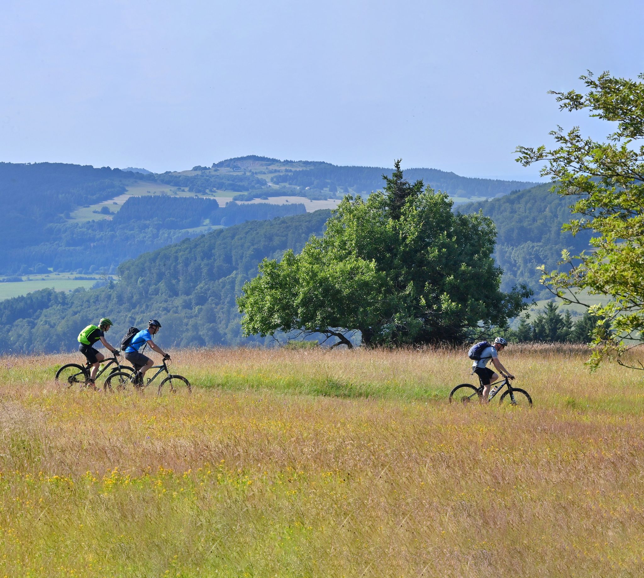
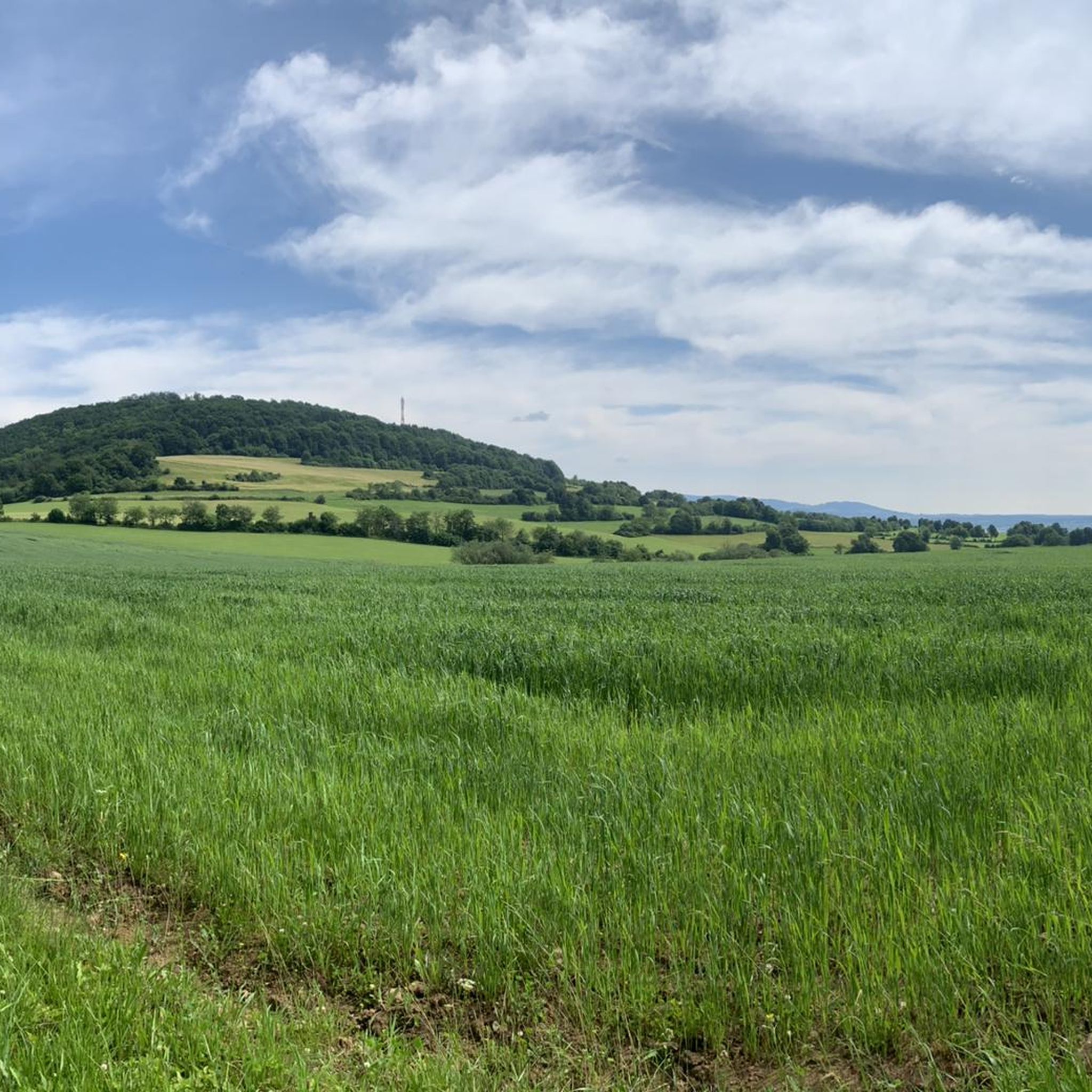
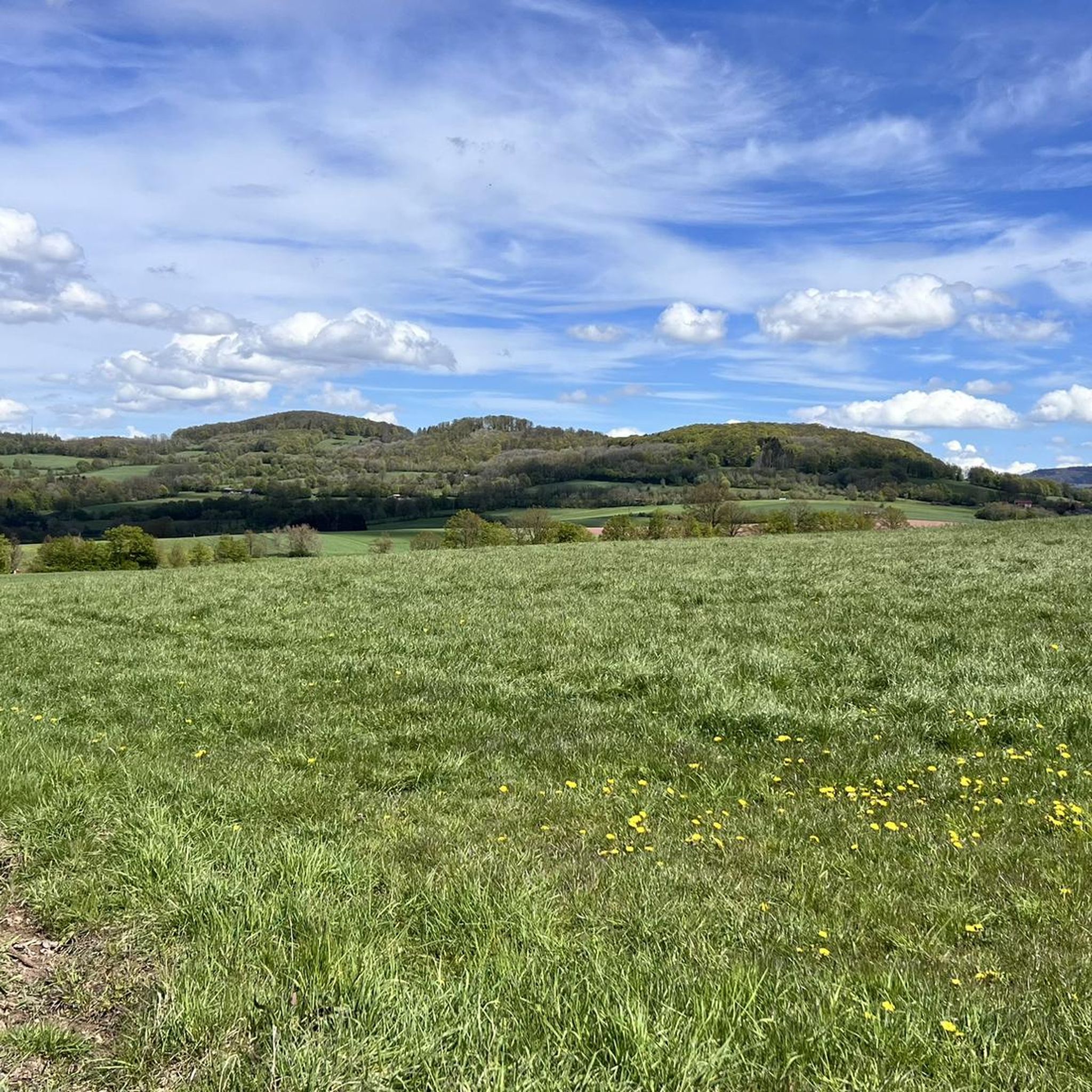
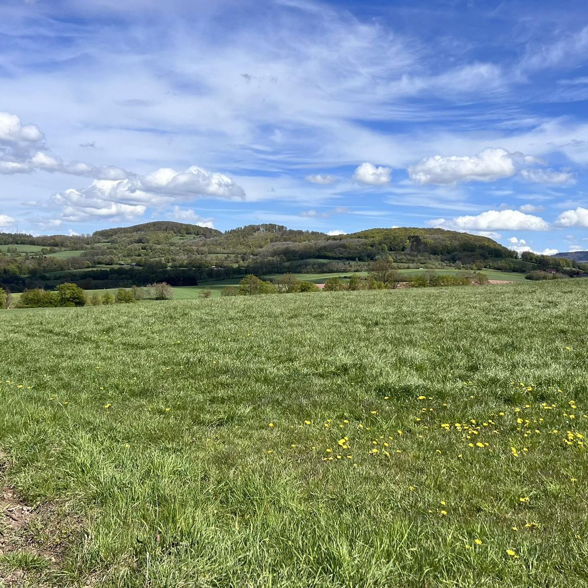
Touring cycling around Oberleichtersbach offers diverse landscapes within the Bavarian Rhön Nature Park. The region features picturesque, rolling hills, dense woodlands, and serene river valleys, providing varied terrain for cyclists. The Sinn River meanders through the landscape, offering scenic paths along its banks. Well-maintained routes traverse these areas, catering to various fitness levels.
Best touring cycling routes around Oberleichtersbach
- The most popular touring cycling route is Rhönexpress Rail Cycle Path – Bad Brückenau Spa Park loop from Römershager Forst-Ost,…
Last updated: August 24, 2026
4.6
(7)
32
riders
Moderate bike ride. Good fitness required. Mostly paved surfaces. Suitable for all skill levels.
4.6
(9)
39
riders
44.2km
03:31
760m
760m
Hard bike ride. Very good fitness required. You may need to push your bike for some segments of this route.

Sign up for free
4.9
(9)
24
riders
Hard bike ride. Very good fitness required. Mostly paved surfaces. Suitable for all skill levels.
5.0
(1)
19
riders
Moderate bike ride. Good fitness required. Mostly paved surfaces. Suitable for all skill levels.
5.0
(4)
16
riders
29.9km
02:32
430m
430m
Moderate bike ride. Good fitness required. Mostly paved surfaces. Suitable for all skill levels.
Get access to more routes and recommendations from other explorers.
Sign up for free
Already have an account?
Our route recommendations are based on thousands of hikes, rides, and runs completed by other people on komoot.
Start today with a free account
Your next adventure awaits.
Login or Signup

Other adventures around Oberleichtersbach

Tips from the Community

The Kursaal building, dating from 1830, is one of the most important buildings in the state spa of Brückenau.
6
0

Former section of the HaFraBa motorway (Hamburg-Frankfurt-Basel, forerunner of today's A7 and A5 motorways) planned in the 1920s. This section was never completed and was later replaced by the current route a little further east.
0
0

Always worth it, the spa park is accessible from all sides and very well maintained, you can drink water in the foyer. Please note the opening times.
0
0

A beautiful cycle path through Hassenbach
1
0
A beautiful old bridge
2
0
Frequently Asked Questions
How many touring cycling routes are available around Oberleichtersbach?
There are over 50 touring cycling routes around Oberleichtersbach, offering a wide range of experiences for different skill levels. The komoot community has explored these routes over 400 times, providing valuable insights and ratings.
What is the best time of year for touring cycling in Oberleichtersbach?
The region is particularly beautiful for touring cycling in spring, with blooming flora, and in autumn, when the leaves present a vibrant backdrop. The clear air and tranquility of nature enhance the experience during these seasons.
What are the difficulty levels of touring cycling routes in Oberleichtersbach?
Oberleichtersbach offers a diverse range of routes. You'll find 5 easy routes, 26 moderate routes, and 21 difficult routes, catering to various fitness levels and preferences. This variety ensures there's something for everyone, from leisurely rides to more challenging ascents.
Are there any circular touring cycling routes in the area?
Yes, many routes in Oberleichtersbach are designed as loops, allowing you to start and end at the same point. For example, the Rhönexpress Rail Cycle Path – Bad Brückenau Spa Park loop from Römershager Forst-Ost is a popular moderate circular route covering 31.9 km.
What do other touring cyclists say about the routes in Oberleichtersbach?
The touring cycling routes in Oberleichtersbach are highly rated by the komoot community, with an average score of 4.5 stars from nearly 90 reviews. Cyclists often praise the diverse landscapes, well-maintained paths, and the scenic beauty of the Rhön Nature Park.
Are there any rail trail routes suitable for touring cyclists?
Yes, the region features excellent rail trail options. The Rhönexpress Rail Trail – Rhönexpress Rail Cycle Path loop from Dreistelz is a notable example, offering gentler gradients and scenic journeys along a former railway line over 44.5 km.
Are there options for more challenging touring cycling routes?
Absolutely. For those seeking a challenge, there are 21 difficult routes available. The View of the Oehrbach Valley – Wakepark Thulba loop from Oberleichtersbach is a demanding 38.7 km route that takes you through varied terrain with significant elevation changes.
What natural features can I expect to see while cycling around Oberleichtersbach?
The region is characterized by picturesque rolling hills, dense forests, and serene river valleys, particularly along the Sinn River. You might also encounter unique natural spots like the Basaltsee "Tintenfass," known for its scenic beauty.
Are there any historical sites or cultural attractions along the touring cycling routes?
Yes, you can integrate cultural stops into your rides. Notable attractions include Saaleck Castle, offering impressive views, and the historic village center with St. Laurentius Church. The Kurpark Bad Brückenau, a former summer residence of King Ludwig I, also provides a historical point of interest.
Are there good viewpoints or panoramic spots accessible by bike?
Yes, the region offers several rewarding viewpoints. A tour to the "Rhönblick" Lookout Tower provides breathtaking panoramic views of the entire Rhön region. Additionally, the View of the Rhön Mountains – View of Dreistelz loop from Dreistelzer Forst offers stunning vistas.
Can I find places to rest or get refreshments along the routes?
Yes, some routes pass by or lead to places offering refreshments. The Würzburger Karl-Straub-Haus is mentioned as an ideal destination or intermediate stop for tours, providing a beautiful outdoor area to relax.
Are there any routes that pass by lakes or ponds?
Yes, the Heiligkreuz Fish Ponds – Heiligkreuz Church loop from Dreistelzer Forst is a moderate route that takes you past the scenic Heiligkreuz Fish Ponds, offering a tranquil setting for a break.
What kind of landscapes will I experience on a touring bike around Oberleichtersbach?
You will experience a diverse mix of landscapes, from rolling hills and dense forests to serene river valleys. The routes often follow the Sinn River, providing idyllic settings, and traverse meadows, offering a varied and engaging cycling experience within the Bavarian Rhön Nature Park.
Most popular routes around Oberleichtersbach
Most popular attractions around Oberleichtersbach

Get inspired with the komoot mobile app


Explore more
Browse the best Cycling routes in other regions.
