Easy hikes and walks around Oberleichtersbach
4.6
(6296)
23,621
hikers
90
hikes
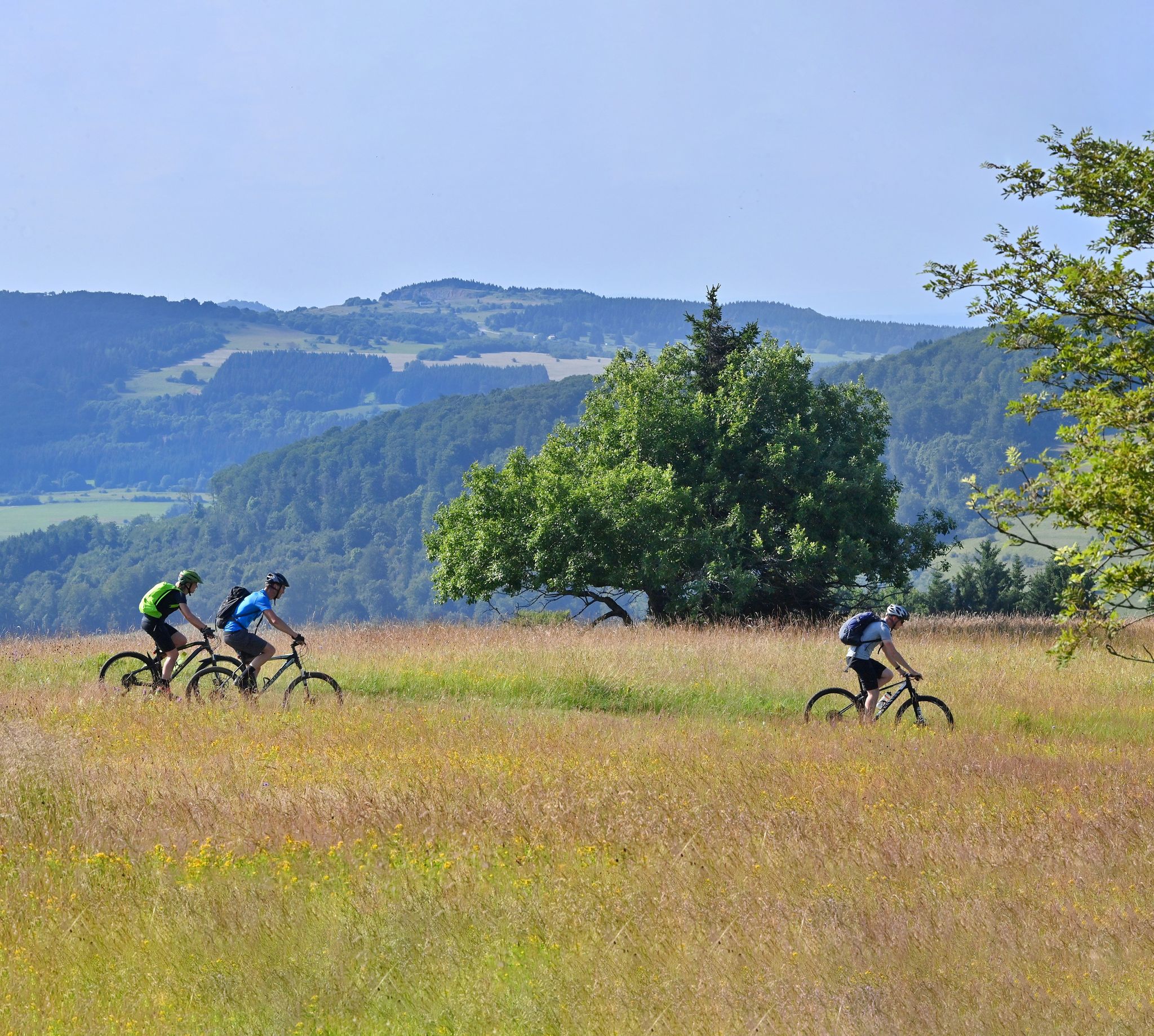
Easy hiking trails Oberleichtersbach are found within the Bavarian Rhön Nature Park, a region characterized by rolling hills, dense forests, and scenic valleys. Situated at an altitude of approximately 500 meters, the area offers diverse terrain for outdoor activities. The landscape provides a tranquil setting for exploring nature on foot.
Best easy hiking trails around Oberleichtersbach
- The most popular easy hiking route is Heaven's Chapel loop from Dreistelzer Forst, a 3.2 miles (5.1 km) trail that takes 1 hour…
Last updated: June 30, 2026
4.7
(20)
28
hikers
5.08km
01:23
80m
80m
Easy hike. Great for any fitness level. Easily-accessible paths. Suitable for all skill levels.
4.8
(6)
20
hikers
5.29km
01:29
110m
110m
Easy hike. Great for any fitness level. Easily-accessible paths. Suitable for all skill levels.

Sign up for free
4.5
(4)
15
hikers
6.04km
01:38
90m
80m
Easy hike. Great for any fitness level. Easily-accessible paths. Suitable for all skill levels.
5.0
(1)
13
hikers
Easy hike. Great for any fitness level. Easily-accessible paths. Suitable for all skill levels.
5.0
(1)
9
hikers
5.07km
01:22
60m
60m
Easy hike. Great for any fitness level. Easily-accessible paths. Suitable for all skill levels.
Get access to more routes and recommendations from other explorers.
Sign up for free
Already have an account?
Our route recommendations are based on thousands of hikes, rides, and runs completed by other people on komoot.
Start today with a free account
Your next adventure awaits.
Login or Signup
Popular around Oberleichtersbach
Other adventures around Oberleichtersbach

Tips from the Community

Rastbank from the Catholic Youth Association Breitenbach / Mitgenfeld
0
0

A nice starting point for a tour
2
0

In the middle of the forest. You can light a candle for 50 cents. 😇
2
0

Beautiful little pond on the Rhön circular route Sinntal 9.
1
0

Seating with a beautiful view
2
0
I can only agree with that
1
0


Frequently Asked Questions
What makes Oberleichtersbach a good destination for easy hiking?
Oberleichtersbach is nestled within the Bavarian Rhön Nature Park, offering a landscape of rolling hills, dense forests, and scenic valleys. The region's clear air and tranquility provide an ideal setting for leisurely walks, with well-marked trails originating directly from the village center. The diverse terrain ensures varied scenery without challenging gradients, perfect for easy exploration.
How many easy hiking trails are available around Oberleichtersbach?
There are approximately 48 easy hiking trails around Oberleichtersbach. The wider region offers a total of 94 routes, catering to various preferences and fitness levels, with a significant focus on accessible paths.
What is the best time of year to go easy hiking in Oberleichtersbach?
The best seasons for easy hiking in Oberleichtersbach are spring, when nature awakens with abundant blossoms, and autumn, when the foliage displays vibrant colors. Summer also offers pleasant, mild temperatures for outdoor exploration, making it enjoyable throughout the warmer months.
Are there family-friendly easy hiking trails in Oberleichtersbach?
Yes, Oberleichtersbach offers family-friendly options. The 'Pure Nature' Adventure Trail, for example, is a child-friendly circular route that winds past small streams and through dense forests, featuring engaging stations where children can learn about nature through play. Many of the easy trails are suitable for all ages.
Are there easy circular walks available?
Yes, many of the easy trails around Oberleichtersbach are circular routes. For instance, the Heaven's Chapel loop from Dreistelzer Forst, the Aspenmühle Trailhead loop from Unterleichtersbach, and the Grotto on the Kalvarienberg loop from Oberleichtersbach are all popular easy circular walks.
What kind of natural features can I expect to see on easy hikes?
Easy hikes in Oberleichtersbach often lead through dense forests, across rolling hills, and into scenic river valleys. You might encounter unique geological formations like the Büchelberg, one of the Rhön's earliest volcanic formations, or the tranquil Basalt Lake Tintenfass.
Are there any viewpoints or panoramic spots on easy trails?
Yes, several easy trails offer rewarding views. The Platzer Kuppe summit provides beautiful all-round views with comfortable seating. While not directly on an easy trail, the 'Rhönblick' Lookout Tower is a worthwhile destination for breathtaking panoramic views of the entire region, often accessible via moderate paths or as a short detour from easier routes.
What historical or cultural attractions can be found near the easy hiking routes?
You can explore the charming historic village center of Oberleichtersbach with its traditional half-timbered houses and the St. Laurentius Church. Saaleck Castle, towering above a river, also offers impressive views and hosts an annual medieval festival, providing a historical backdrop to the region's natural beauty.
What do other hikers say about the easy trails in Oberleichtersbach?
The easy trails in Oberleichtersbach are highly regarded by the komoot community, with an average rating of 4.7 stars from over 180 reviews. Hikers often praise the quiet woodlands, well-marked paths, and the varied, picturesque scenery that makes for a relaxing outdoor experience.
Are there any specific easy routes that offer a good mix of scenery?
The View of Modlos – View of the Rhön Mountains loop from Oberleichtersbach is an excellent choice, winding through both forests and open landscapes, providing diverse scenery and glimpses of the wider Rhön region. Another option is the Wayside Shrine in Mitgenfeld – Old School Breitenbach loop from Römershager Forst-Ost, which offers a pleasant mix of wooded and rural paths.
How long do easy hikes typically take in Oberleichtersbach?
Easy hikes in Oberleichtersbach typically range from 1 to 2 hours to complete. For example, the Heaven's Chapel loop from Dreistelzer Forst takes about 1 hour 23 minutes, while the Grotto on the Kalvarienberg loop from Oberleichtersbach is usually completed in about 1 hour 38 minutes.
Most popular routes around Oberleichtersbach
Most popular attractions around Oberleichtersbach

Get inspired with the komoot mobile app


Explore more
Browse the best Hikes in other regions.
