The best walks and hikes around Oberboihingen
4.5
(15838)
66,369
hikers
50
hikes
Hiking around Oberboihingen, a municipality in the district of Esslingen, Germany, offers diverse landscapes for outdoor activities. The region is characterized by its location at the foot of the Schurwald forest and proximity to the Albtrauf, the escarpment of the Swabian Alb. Trails often traverse vineyards, lush meadows, and dense woodlands, with the Neckar River providing picturesque routes alongside its waters.
Best hiking trails around Oberboihingen
- The most popular hiking route is Pedestrian Trail in Rübholz Forest – Waldspitz Trailhead…
Last updated: October 8, 2026
4.5
(53)
97
hikers
Moderate hike. Good fitness required. Easily-accessible paths. Suitable for all skill levels.
4.5
(10)
22
hikers
7.16km
01:57
110m
110m
Easy hike. Great for any fitness level. Easily-accessible paths. Suitable for all skill levels.

5.0
(1)
12
hikers
Moderate hike. Good fitness required. Easily-accessible paths. Suitable for all skill levels.
4.5
(4)
31
hikers
Moderate hike. Good fitness required. Easily-accessible paths. Suitable for all skill levels.
4.0
(4)
34
hikers
Easy hike. Great for any fitness level. Easily-accessible paths. Suitable for all skill levels.
Get access to more routes and recommendations from other explorers.
Already have an account?
Our route recommendations are based on thousands of hikes, rides, and runs completed by other people on komoot.
Start today with a free account
Your next adventure awaits.
Popular around Oberboihingen
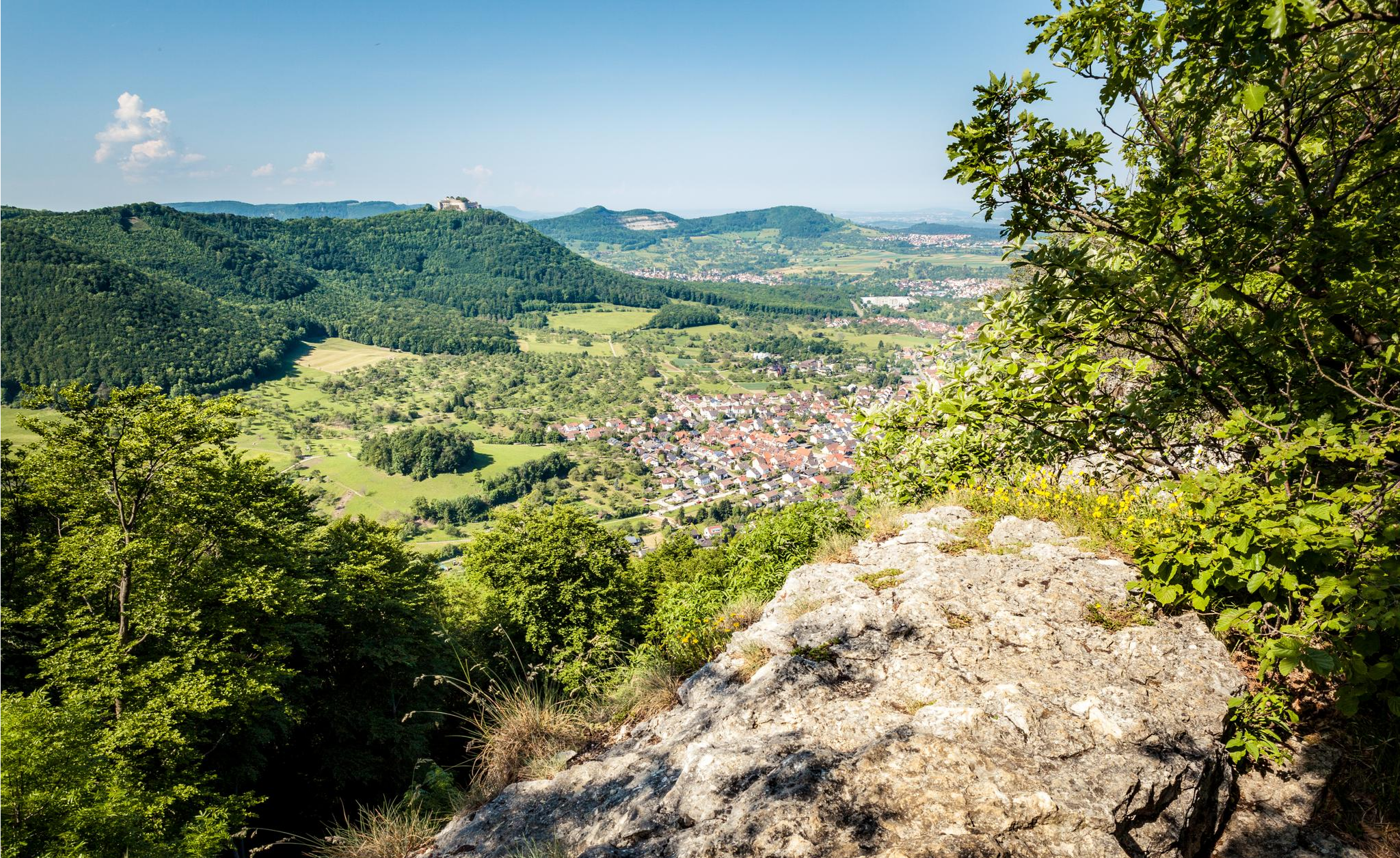
Between the Alb and Neckar – weekend outdoor escapes

Between river, forest and alb – cycling tours in the Esslingen district
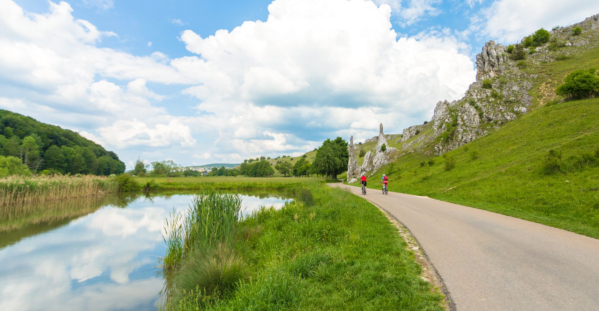
Feel the power of the water - cycling on the Swabian Alb
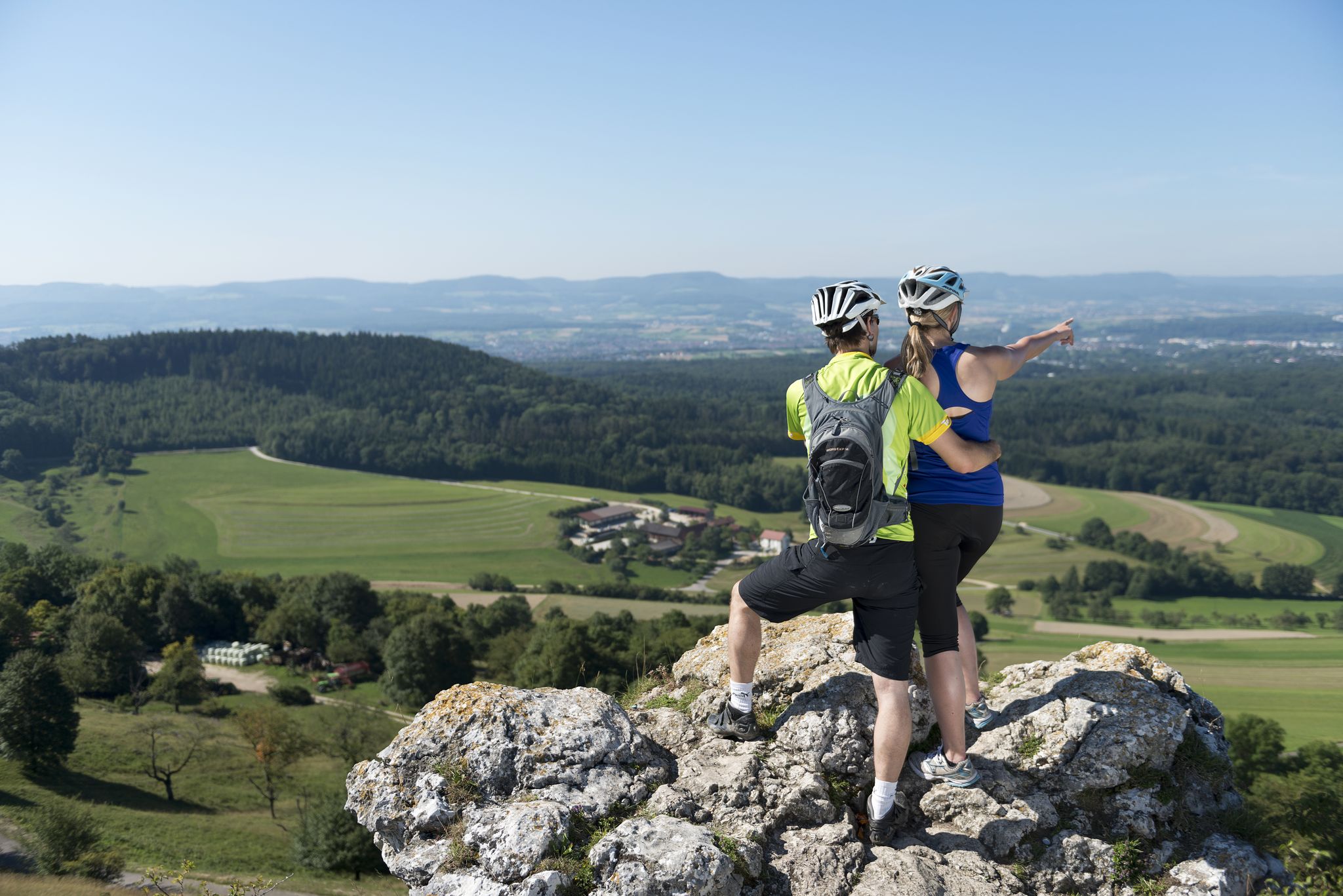
9 beautiful day rides in the Swabian Jura in Germany
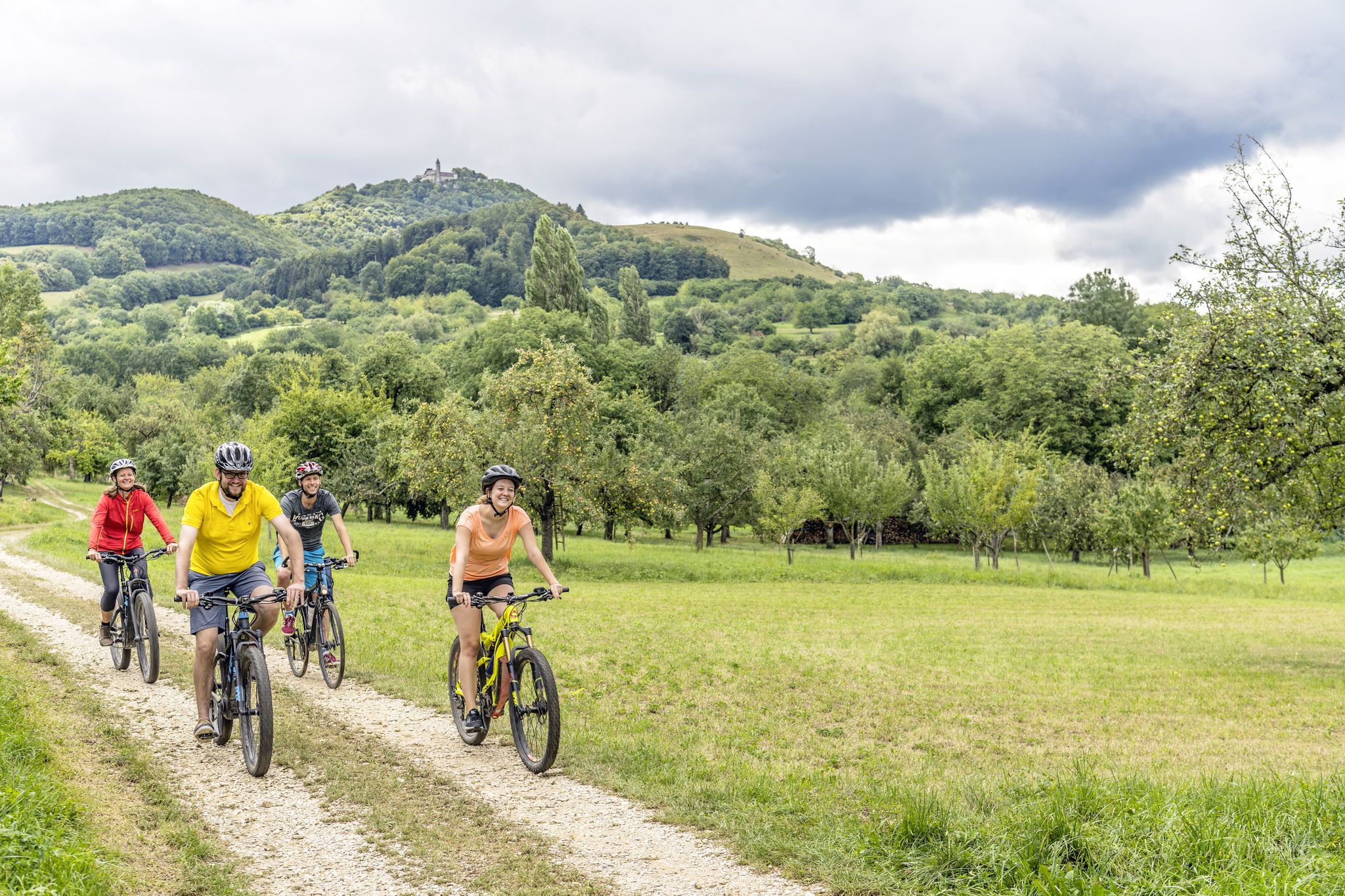
Explore the stunning Swabian Alb — cycling in the Esslingen district
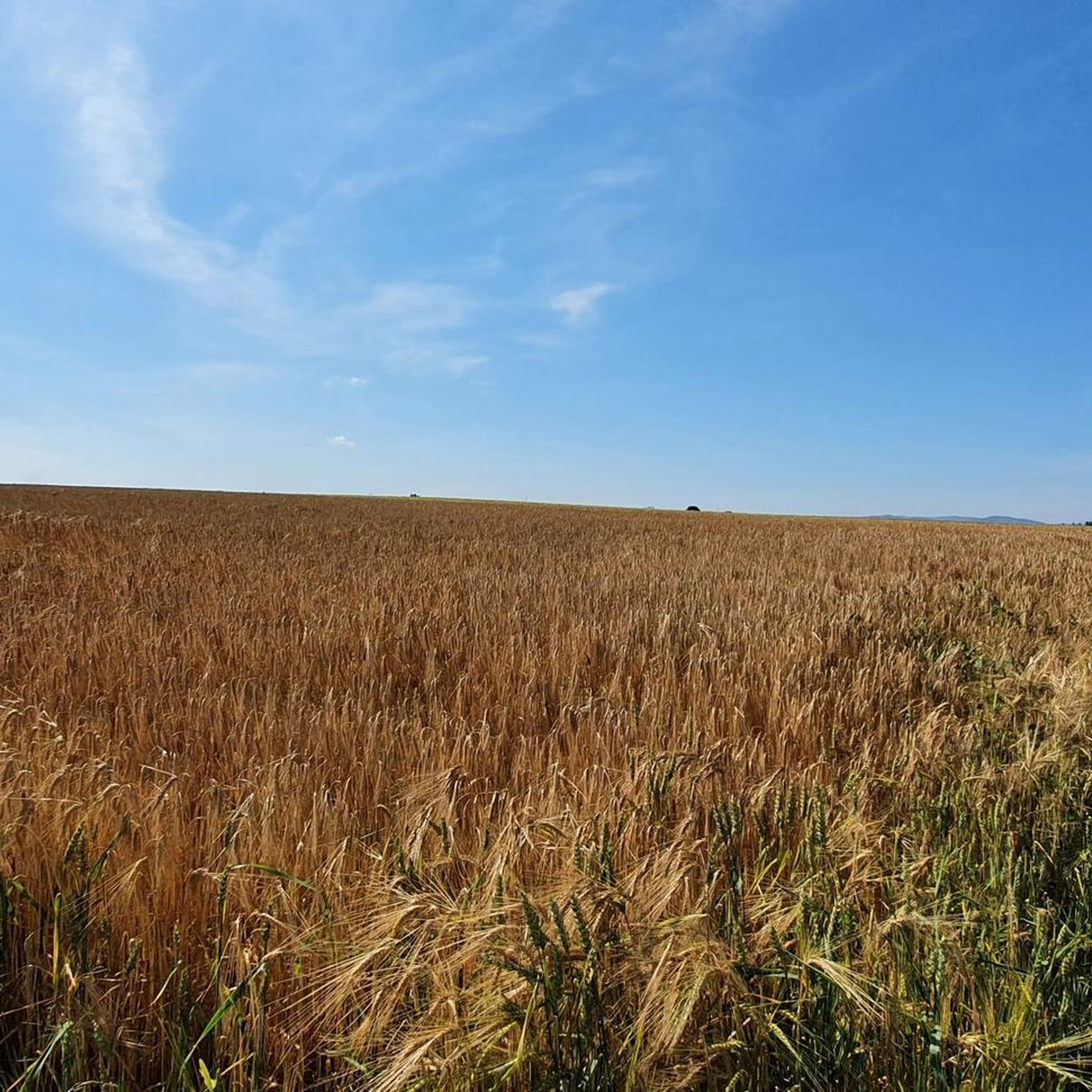
Cycling around Oberboihingen
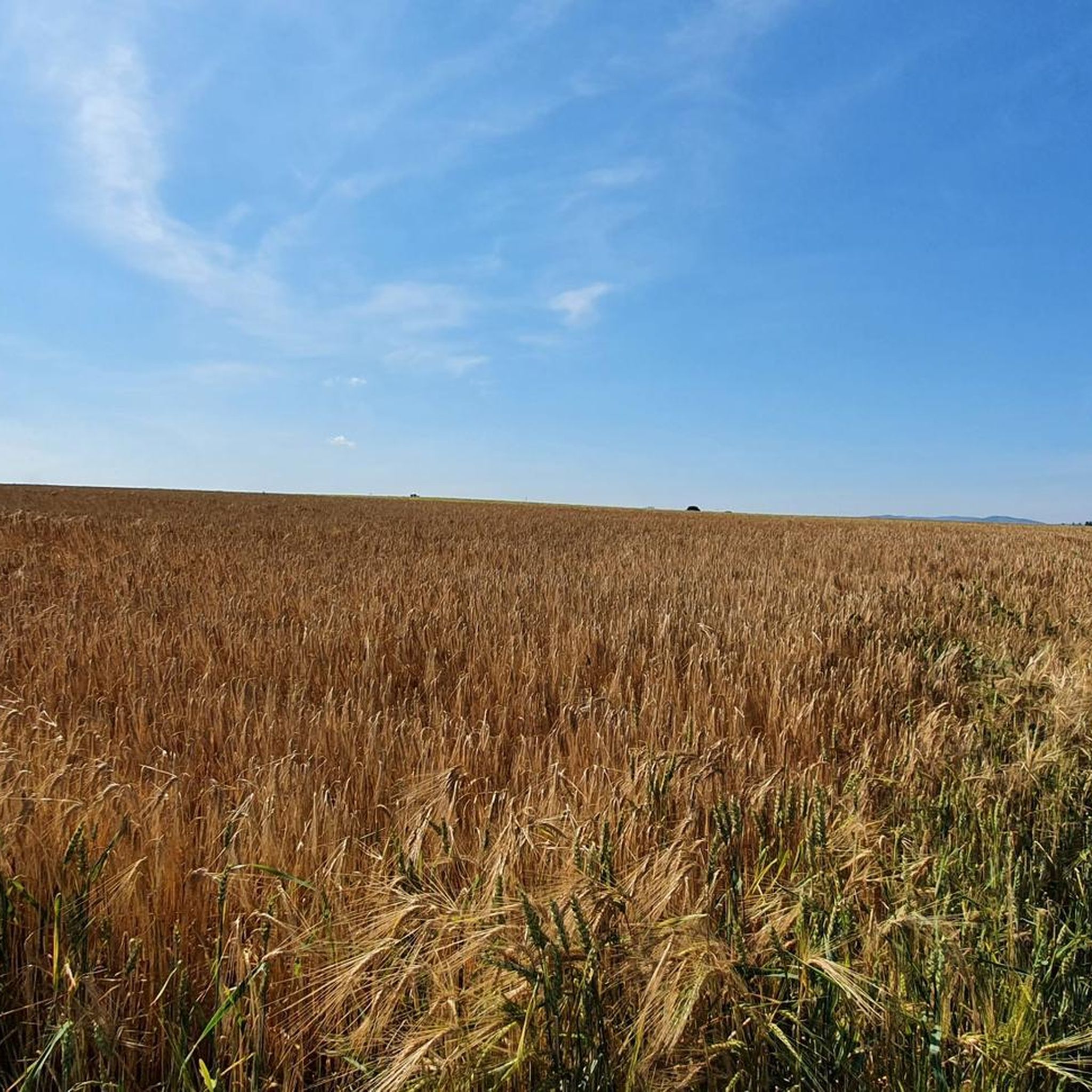
Road Cycling Routes around Oberboihingen
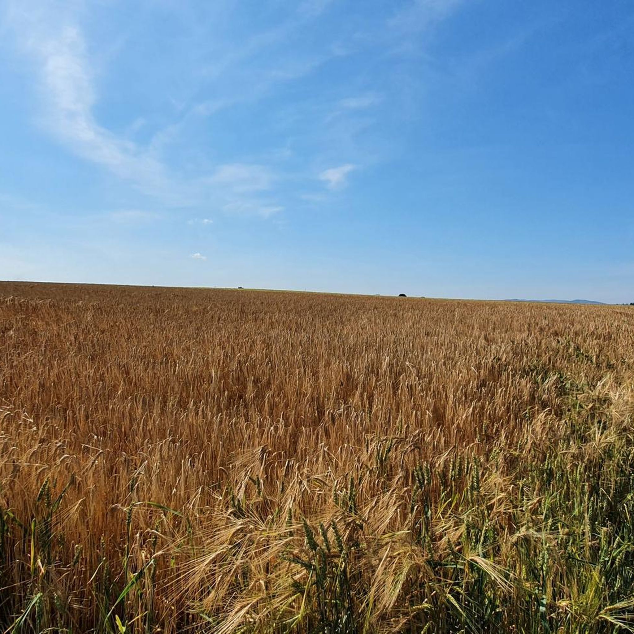
MTB Trails around Oberboihingen
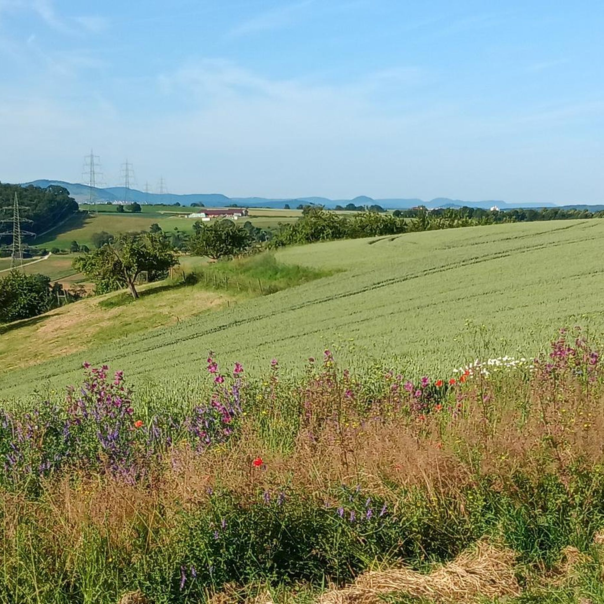
Running Trails around Oberboihingen
Gravel biking around Oberboihingen
Other adventures around Oberboihingen


Tips from the Community

Brand new: The almost 10 m high tower at Hofgut Tachenhausen was only opened in August 2026. After 36 steps, the view extends over the Neckar valley and Filder to Teck, Hohenneuffen, Achalm and, in clear visibility, to Hohenzollern Castle. The name is reminiscent of Eduard Mörike. In his „Stuttgarter Hutzelmännlein“ he called the Albtrauf the „blue wall“, and that is exactly what lies before you here. He has little connection to Oberboihingen itself: in 1826 he was only in the village for a few days as a vicar. The tower is the highlight of the 11.5 km long Oberboihingen circular trail.
0
0

The Mörike viewing tower was recently opened on 05.08.2026! From the top of the approximately 10-meter-high tower, you have a magnificent panoramic view.
2
0

The newly built observation tower is only 10 m high, but it offers a magnificent panoramic view from the covered observation platform. Its namesake Mörike worked as a vicar in Oberboihingen in 1826.
2
0

Observation tower opened in August 2026 🤩, directly on the Oberboihingen circular trail.
2
0

The Old Town Hall of Oberboihingen was probably built sometime between 1492 and 1573. An exact construction date cannot be specified.
0
0

Along the Neckar, a relaxed path in every season
0
0

Small biotope at a forest path crossing, which can be circumnavigated via a nature trail around the small body of water.
4
0
Memorial to a tragic plane crash in which four people died in a crash near Kirchheim/Teck.
3
0
Frequently Asked Questions
How many hiking trails are available around Oberboihingen?
There are over 45 hiking trails around Oberboihingen, offering a variety of experiences for different skill levels. The region is well-loved by the komoot community, with more than 600 hikers having explored its diverse terrain.
What kind of terrain can I expect on hikes near Oberboihingen?
Hiking trails around Oberboihingen feature diverse landscapes. You can expect to traverse picturesque vineyards, lush meadow landscapes, and dense woodlands. Many routes also follow the serene Neckar River, and the proximity to the Albtrauf, the escarpment of the Swabian Alb, offers impressive views and varied terrain.
Are there easy hiking trails suitable for beginners or casual walkers?
Yes, Oberboihingen offers a good selection of easy hiking trails. Out of the total routes, 28 are classified as easy, making them perfect for beginners, families, or those looking for a relaxed stroll. An example is the Small lake – Walter's Milk House loop from Oberboihingen, which is an easy 4.5 km path.
What natural features or landmarks can I see while hiking around Oberboihingen?
The region boasts several notable natural features and historical landmarks. You can hike alongside the Neckar River, explore the Schurwald forest, or enjoy views of the Albtrauf. Historic sites like the Hohenneuffen Castle and Teck Castle are popular destinations, offering panoramic views. The Breitenstein Viewpoint also provides spectacular vistas.
Are there family-friendly hiking options in Oberboihingen?
Yes, Oberboihingen is suitable for families. The region offers shorter routes around the village and forest playgrounds, such as the one in the nearby Schönbuch forest, which are ideal for children. Many of the easy trails are also well-suited for family outings.
When is the best time of year to go hiking in Oberboihingen?
The best seasons for hiking in Oberboihingen are spring and autumn. During these times, temperatures are mild, and nature displays its most vibrant colors, making for particularly scenic walks through vineyards and forests.
Can I find circular hiking routes in the area?
Absolutely. Many of the trails around Oberboihingen are designed as loops, allowing you to start and end your hike at the same point. For instance, the Pedestrian Trail in Rübholz Forest – Waldspitz Trailhead Parking loop from Oberboihingen is a popular circular route exploring the Rübholz Forest.
What do other hikers enjoy most about hiking in Oberboihingen?
The hiking experience in Oberboihingen is highly rated by the komoot community, with an average score of 4.4 stars. Reviewers often praise the region's diverse landscapes, including the picturesque Neckar River paths, charming vineyard routes, and extensive, shaded forests. The well-maintained trails and scenic viewpoints are also frequently highlighted.
Are there any trails that feature springs or unique natural spots?
Yes, some trails highlight specific natural features. For example, the Allmerbrünnele Spring – Talbach Singletrail loop from Landkreis Esslingen features the Allmerbrünnele Spring, offering a refreshing stop along the path.
Are dogs allowed on the hiking trails around Oberboihingen?
Generally, dogs are welcome on most hiking trails in the Oberboihingen region. It's always recommended to keep your dog on a leash, especially in nature reserves, agricultural areas, or when passing through villages, to ensure the safety and comfort of wildlife and other hikers.
Are there longer hiking routes for more experienced hikers?
While many routes are easy to moderate, there are options for longer walks. For example, the Allmerbrünnele Spring – Talbach Singletrail loop from Oberboihingen is a moderate 10.7 km trail that takes nearly 3 hours to complete, offering a more extended experience through the Talbach Singletrail area.
Can I find viewpoints with panoramic vistas on the hikes?
Yes, many trails in the Oberboihingen area offer spectacular panoramic views. Locations like the "Himmelreich" lookout point, accessible from St. Michael Church, provide breathtaking vistas. Further afield, Hohenneuffen Castle and Teck Castle also boast expansive 360-degree views of the Swabian Alb.
Most popular routes around Oberboihingen
Most popular attractions around Oberboihingen

Get inspired with the komoot mobile app


Explore more
Browse the best Hikes in other regions.
