The best road cycling routes around Pirmasens
4.6
(299)
3,313
riders
35
rides
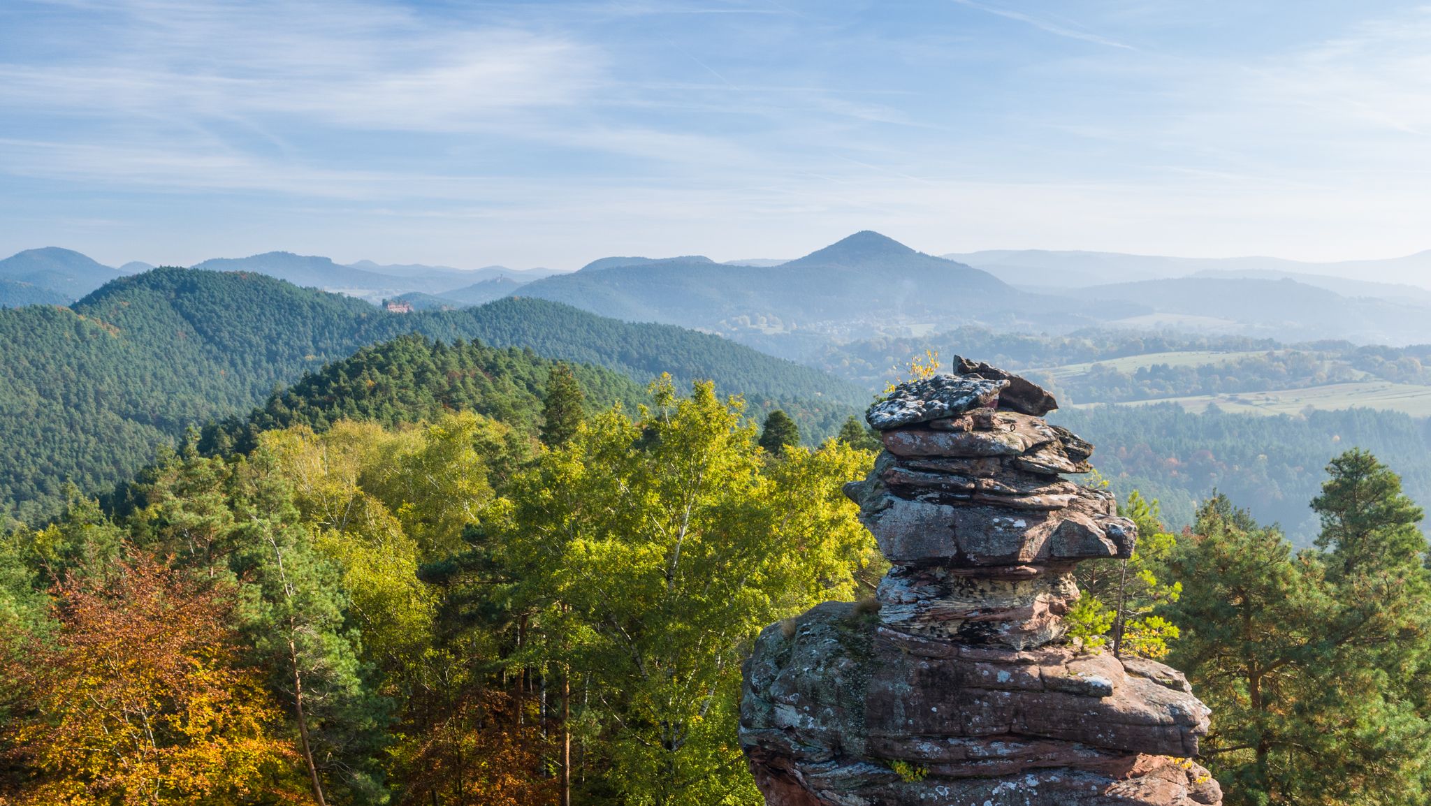
Road cycling routes around Pirmasens traverse the diverse landscapes of the Palatinate Forest, a vast forested region known for its varied topography. The area features challenging ascents and rapid descents, with Pirmasens itself built on seven hills. Cyclists encounter striking red sandstone formations and expansive fields, offering a range of experiences. This region, part of a UNESCO-recognized cross-border biosphere reserve, provides an extensive network of routes for road cyclists.
Best road cycling routes around Pirmasens
- The most popular road cycling route is Rock Formation Near Dahn – Schöntalweiher Ludwigswinkel loop from Pirmasens Hbf, a 41.2 miles (66.3 km) trail that takes 3 hours 9 minutes to complete. This moderate route explores areas with notable rock formations.
- Another top favourite among local road cyclists is Lauter – Col du Pigeonnier loop from Pirmasens Hbf, a difficult 80.1 miles (128.9 km) path. This challenging route features significant elevation gain through varied terrain.
- Local road cyclists also love the Hornbach Town Gate – Hornbach Abbey loop from Pirmasens Hbf, a 41.8 miles (67.3 km) trail leading through historical areas, often completed in about 2 hours 54 minutes.
- Road cycling around Pirmasens is defined by the dense Palatinate Forest, striking red sandstone formations, and the scenic Wasgau region. The extensive network offers options for different ability levels, from moderate loops to more difficult, longer rides.
- The routes in Pirmasens are highly rated by the komoot community with an average score of 4.6 stars from more than 60 reviews. More than 750 road cyclists have used komoot to explore Pirmasens's varied terrain.
Last updated: July 3, 2026
4.7
(18)
126
riders
65.6km
03:06
760m
760m
Moderate road ride. Good fitness required. Mostly well-paved surfaces and easy to ride.
4.8
(4)
75
riders
129km
06:06
1,590m
1,590m
Hard road ride. Very good fitness required. Mostly well-paved surfaces and easy to ride.

Sign up for free
4.6
(8)
105
riders
67.3km
02:56
470m
470m
Moderate road ride. Good fitness required. Mostly well-paved surfaces and easy to ride.
4.0
(4)
74
riders
108km
04:52
1,090m
1,090m
Hard road ride. Very good fitness required. Mostly well-paved surfaces and easy to ride.
3.8
(4)
44
riders
Moderate road ride. Good fitness required. Some segments of this route may be unpaved and difficult to ride.
1.0
(1)
33
riders
102km
04:43
1,160m
1,160m
Hard road ride. Very good fitness required. Mostly well-paved surfaces and easy to ride.
5.0
(1)
32
riders
67.4km
03:15
860m
860m
Moderate road ride. Good fitness required. Some segments of this route may be unpaved and difficult to ride.
5.0
(2)
35
riders
52.7km
02:29
610m
610m
Moderate road ride. Good fitness required. Mostly well-paved surfaces and easy to ride.
5.0
(1)
23
riders
89.5km
04:06
950m
950m
Hard road ride. Very good fitness required. Some segments of this route may be unpaved and difficult to ride.
5.0
(2)
31
riders
50.5km
02:11
430m
430m
Moderate road ride. Good fitness required. Mostly well-paved surfaces and easy to ride.
Get access to more routes and recommendations from other explorers.
Sign up for free
Already have an account?
Our route recommendations are based on thousands of hikes, rides, and runs completed by other people on komoot.
Start today with a free account
Your next adventure awaits.
Login or Signup
Popular around Pirmasens


Tips from the Community

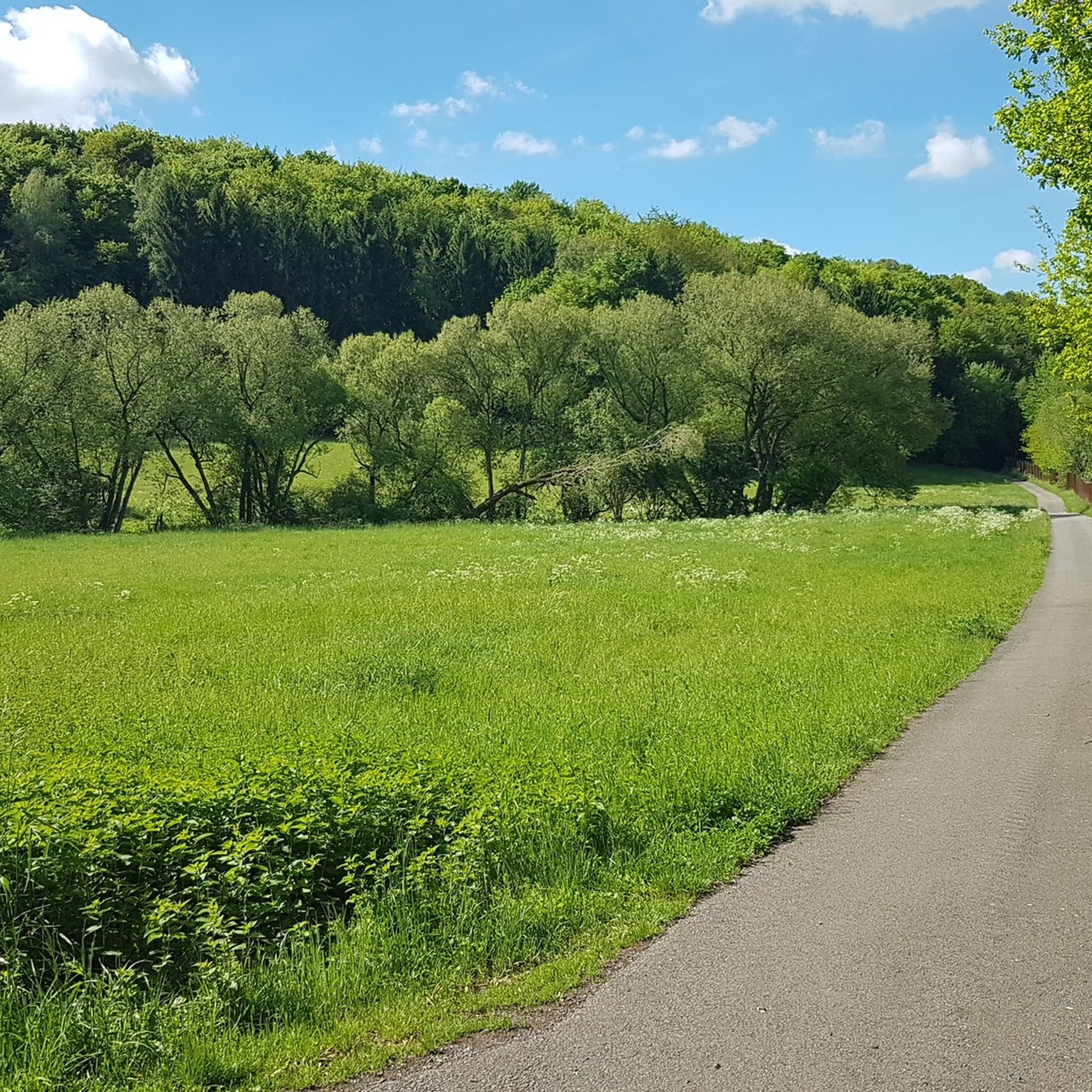
The Glan-Blies cycle path through the Bliestal meadows is one of the most beautiful sections of the route.
0
0
The viewpoint in the Beeder Bruch nature reserve offers beautiful views of extensive wetlands and protected habitats. It is an ideal place for birdwatching and enjoying the region's tranquil nature.
0
0

Unfortunately, the Biosphärenhaus and the Baumwipfelpfad were closed indefinitely in October 2023 for safety reasons. It is uncertain whether it will ever resume operation.
0
0

Stylish hotel with very good service in stylishly converted buildings of an 8th-century monastery.
5
0
High city gate, structurally connected to the adjacent buildings.
7
0

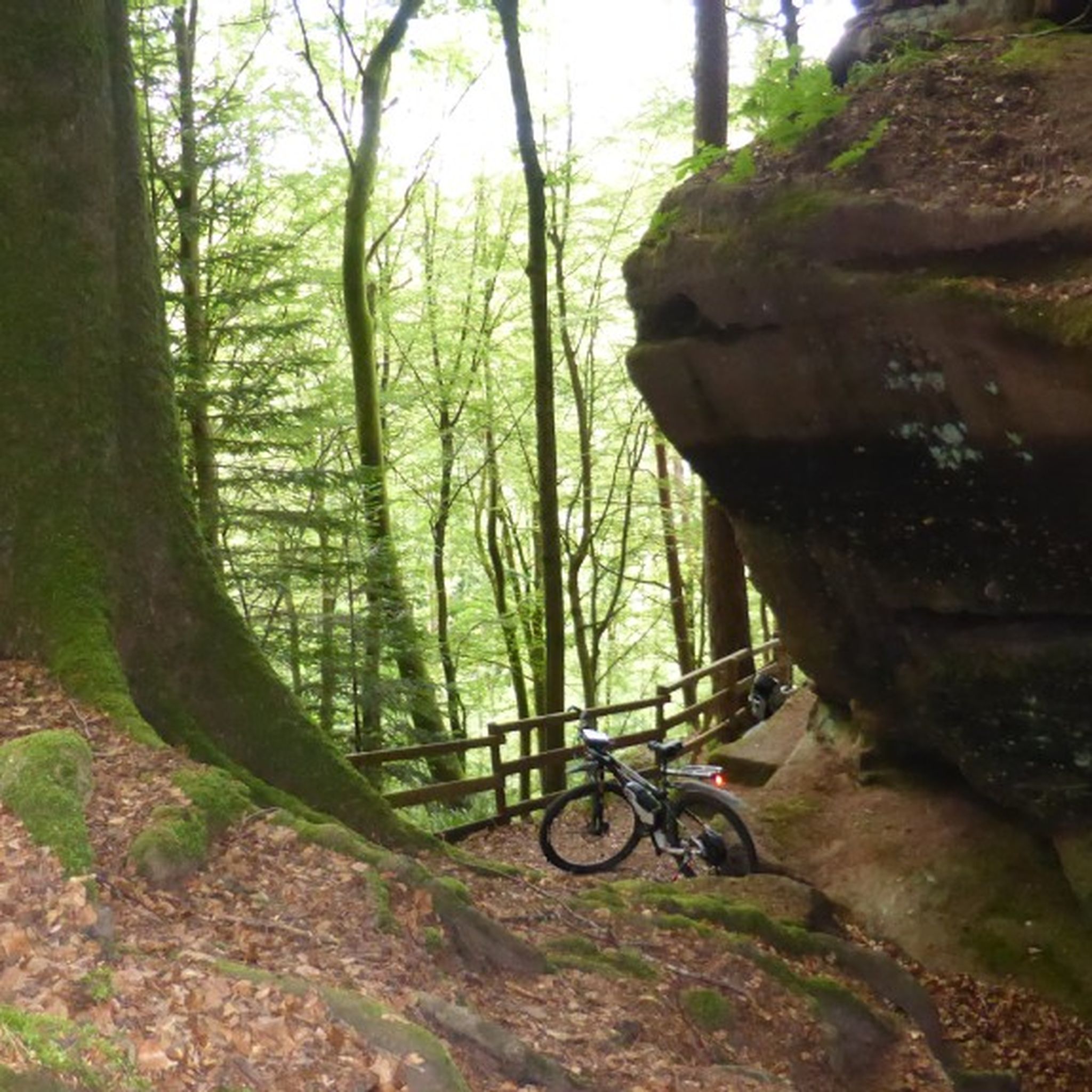
Cool rock formation in the Dahner Felsenland.
1
0

It's always lovely to see the animals there.
0
0

what a beautiful fortress with great views in all directions
2
0
Frequently Asked Questions
What kind of terrain can I expect when road cycling around Pirmasens?
The Pirmasens region, nestled within the Palatinate Forest, offers a diverse and challenging landscape for road cyclists. You'll encounter varied topography, including significant ascents and rapid descents, as Pirmasens itself is built on seven hills. The routes often feature lightly trafficked side roads, winding through vast forested areas and occasionally opening up to expansive fields, particularly in the Sickingerhöhe region.
Are there road cycling routes suitable for beginners or those looking for an easier ride?
Yes, Pirmasens offers routes for various fitness levels. While many routes feature challenging elevation, there are easier options. For example, the Ascent Past Morschelweiher – Schwarzbach Cycle Path loop from Fehrbach is an easy 33.1 km route with moderate elevation, ideal for a more relaxed ride.
Where can I find more challenging road cycling routes in the Pirmasens area?
For experienced cyclists seeking a challenge, the region provides routes with significant elevation gain. The Lauter – Col du Pigeonnier loop from Pirmasens Hbf is a difficult 128.9 km path featuring over 1,600 meters of ascent. Another demanding option is the Fleckenstein Pond – Schöntalweiher Ludwigswinkel loop from Pirmasens Hbf, which covers 109.1 km with over 1,000 meters of climbing.
What natural attractions can I see along the road cycling routes near Pirmasens?
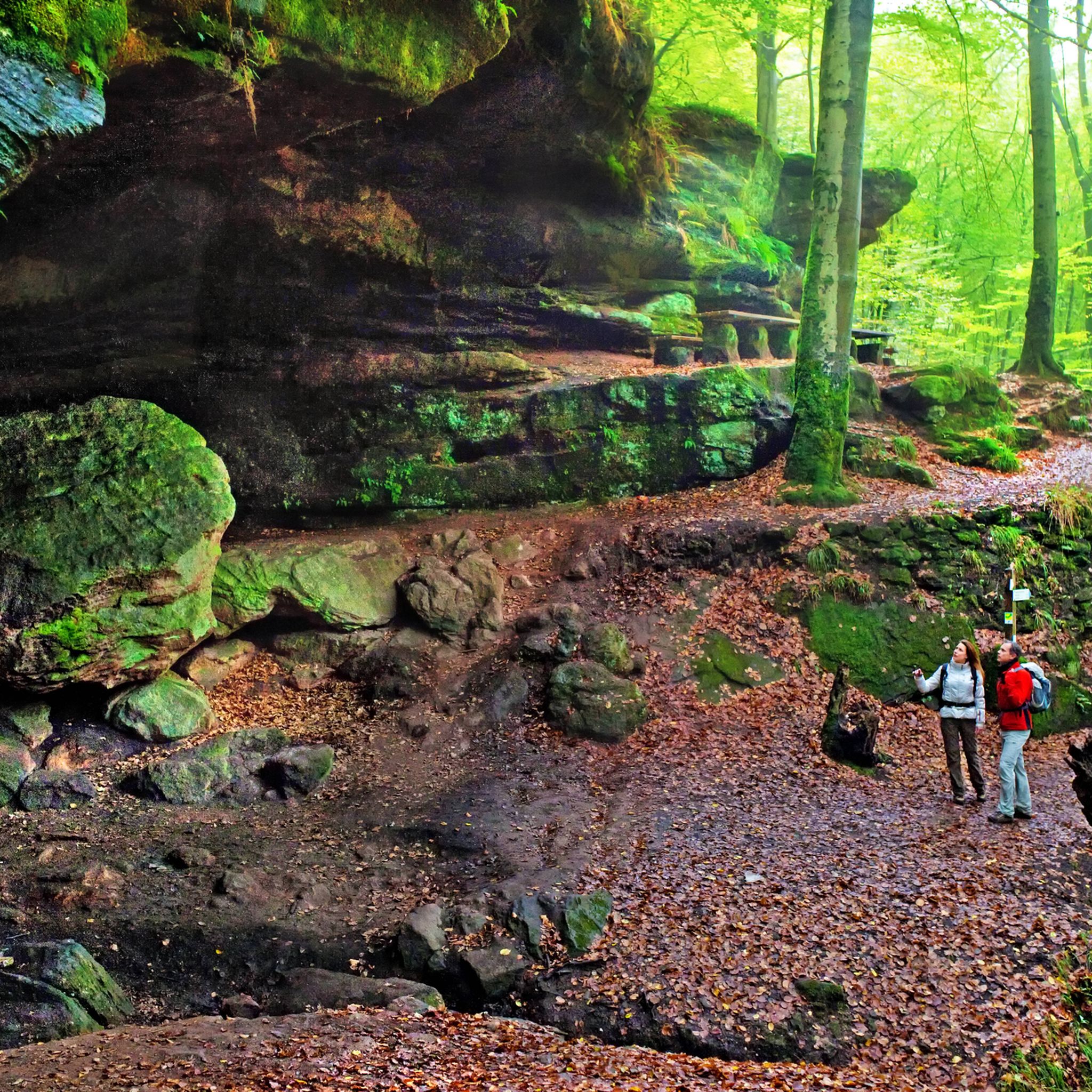
The Palatinate Forest is renowned for its striking red sandstone formations. Cyclists can encounter impressive natural features such as the Rock arch on the Felsenwald Premium Trail, the Schiller Wall, and the Luitpold Rock. The Upper Bear Cave also offers an interesting point of interest.
Are there any historical sites or cultural landmarks accessible by road bike?
Yes, some routes lead through areas with historical significance. The Hornbach Town Gate – Hornbach Abbey loop from Pirmasens Hbf, for instance, takes you through historical areas, including the notable Hornbach Abbey. The region also features historic castles, particularly in the scenic Wasgau area.
What is the best time of year for road cycling in Pirmasens?
The Palatinate Forest offers beautiful scenery throughout much of the year. Spring and autumn generally provide pleasant temperatures and vibrant landscapes, making them ideal for road cycling. Summer can also be excellent, though it's advisable to start earlier on hotter days. Winter conditions might include snow or ice, especially on higher elevations, so check local forecasts.
Are there loop routes available for road cyclists in Pirmasens?
Most of the road cycling routes around Pirmasens are designed as loops, allowing you to start and end at the same point. This is convenient for those traveling by car or public transport. Examples include the Rock Formation Near Dahn – Schöntalweiher Ludwigswinkel loop and the Kneispermühle – Beeder Bruch Nature Reserve loop.
Can I find places to eat or rest along the road cycling routes?
While specific cafes or pubs are not listed for every route, the region has various huts and facilities. For instance, you might find places like Naturfreundehaus Niedersimten or the Rodalb Valley Hut, which can serve as good resting points. Many routes also pass through or near smaller towns where you can find refreshments.
What do other road cyclists say about the routes in Pirmasens?
The road cycling routes around Pirmasens are highly regarded by the komoot community, with an average rating of 4.6 stars from over 60 reviews. Cyclists often praise the diverse terrain, the beauty of the Palatinate Forest, and the challenging ascents that make for a rewarding experience.
Are there any long-distance road cycling paths that pass through Pirmasens?
Yes, Pirmasens is situated along dedicated long-distance paths. The 75 km Pirminius Radweg passes roughly halfway through Pirmasens. Additionally, the Radweg Rückenwind offers an approximately 40 km ride from Pirmasens directly into neighboring France, providing an international cycling experience.
Is it possible to combine road cycling with public transport in Pirmasens?
Pirmasens is a regional hub, and its main train station (Pirmasens Hbf) serves as a common starting point for many routes. While specific details on bike transport on local public transport should be checked with the respective operators, starting routes from the main station often implies good accessibility for those arriving by train.
Are there any routes that offer views into France?
Given Pirmasens' proximity to the French border and its location within the cross-border Palatinate Forest/Northern Vosges biosphere reserve, some routes do extend into France or offer views towards it. The Radweg Rückenwind, for example, provides a direct connection to Bitche in France, allowing for cross-border cycling.
Most popular routes around Pirmasens
Most popular attractions around Pirmasens

Get inspired with the komoot mobile app


Explore more
Browse the best Road cycling routes in other regions.
