The best walks and hikes around Nohfelden
4.6
(5814)
27,781
hikers
306
hikes
Hiking around Nohfelden offers diverse landscapes characterized by dense forests, expansive fields, and the prominent Bostalsee reservoir. The region is situated within the Saar-Hunsrück Nature Park, providing a vast area for exploration with varied ecosystems. Hikers can find trails leading through the Buchwald, past the source of the Nahe River, and to scenic viewpoints.
Best hiking trails in Nohfelden
- The most popular hiking route is Bostalsee hiking loop, a 4.5 miles (7.2 km) trail that takes 1 hour 51…
Last updated: October 10, 2026
4.7
(1517)
7,299
hikers
7.20km
01:52
40m
40m
Easy hike. Great for any fitness level. Easily-accessible paths. Suitable for all skill levels.
4.7
(1020)
5,358
hikers
7.47km
01:57
50m
50m
Easy hike. Great for any fitness level. Easily-accessible paths. Suitable for all skill levels.

4.2
(33)
79
hikers
7.97km
02:18
210m
210m
Moderate hike. Good fitness required. Easily-accessible paths. Suitable for all skill levels.
4.9
(295)
1,092
hikers
5.74km
01:37
120m
120m
Easy hike. Great for any fitness level. Easily-accessible paths. Suitable for all skill levels.
4.7
(212)
686
hikers
12.5km
03:36
310m
310m
Moderate hike. Good fitness required. Easily-accessible paths. Suitable for all skill levels.
Get access to more routes and recommendations from other explorers.
Already have an account?
Our route recommendations are based on thousands of hikes, rides, and runs completed by other people on komoot.
Start today with a free account
Your next adventure awaits.
Popular around Nohfelden

Lowest to Highest (L2H) in Germany

Countless trails, nature & history – hiking in Saarland
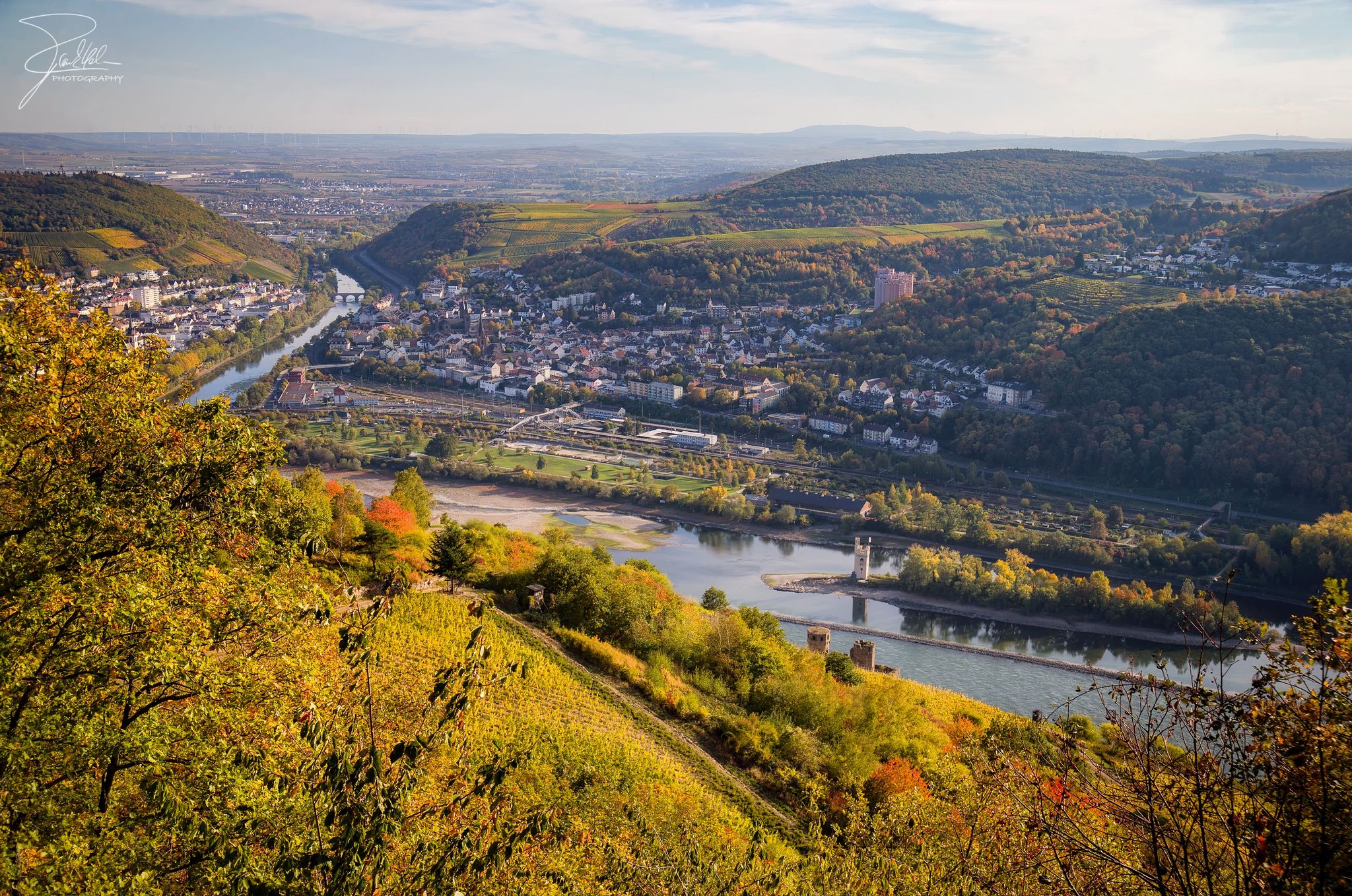
The Nahe Cycle Path – Between Rocks and Vines
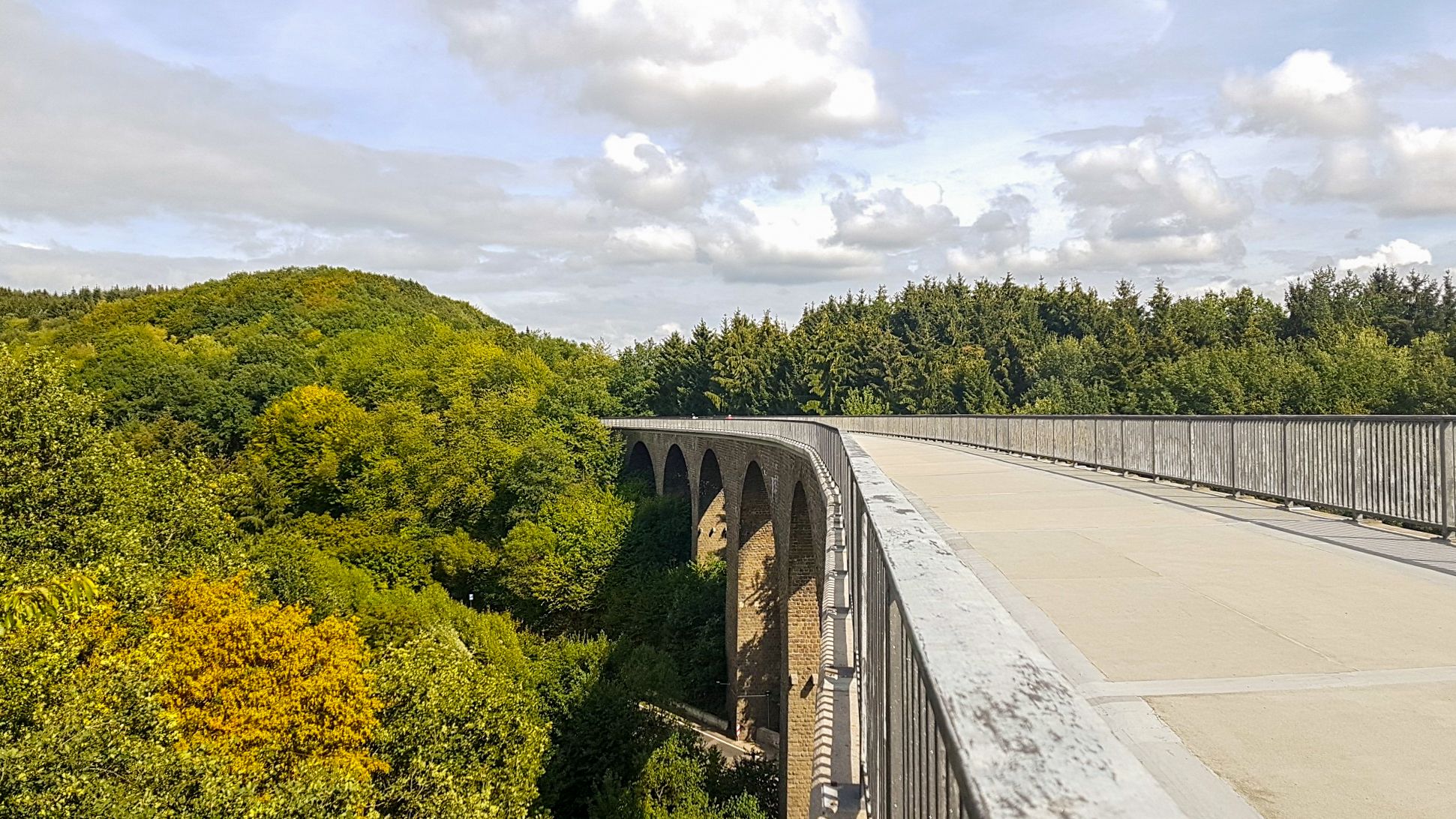
Saarland Cycle Path — Small country, big tour on 7 stages
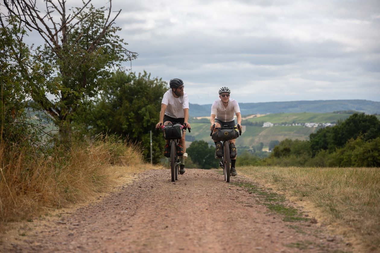
Saarland Gravel Loop: a three-border bikepacking tour
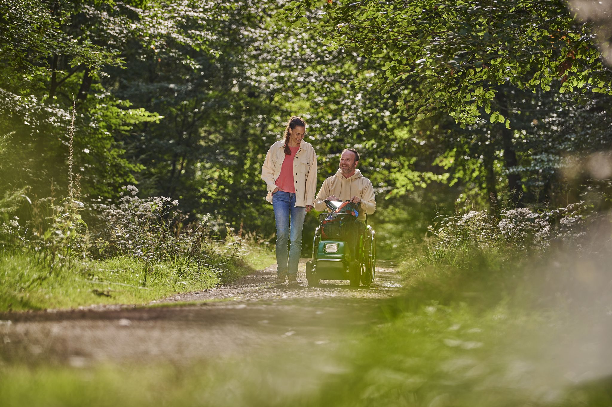
Experience nature without detours - barrier-free adventures in Saarland
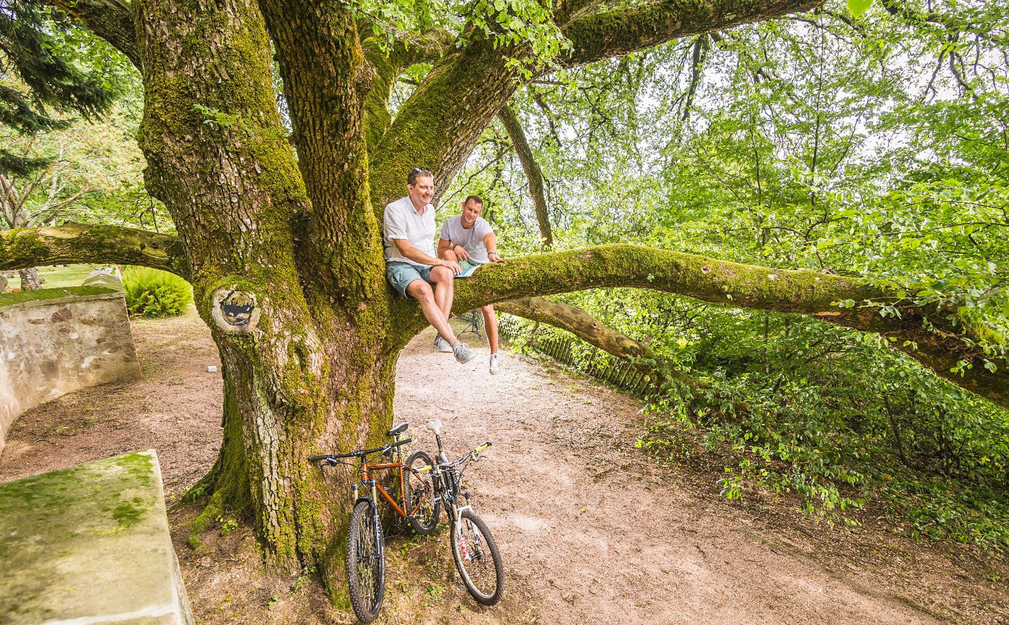
Cycling pleasure in Birkenfeld Land

33 lakes for sunny weekends
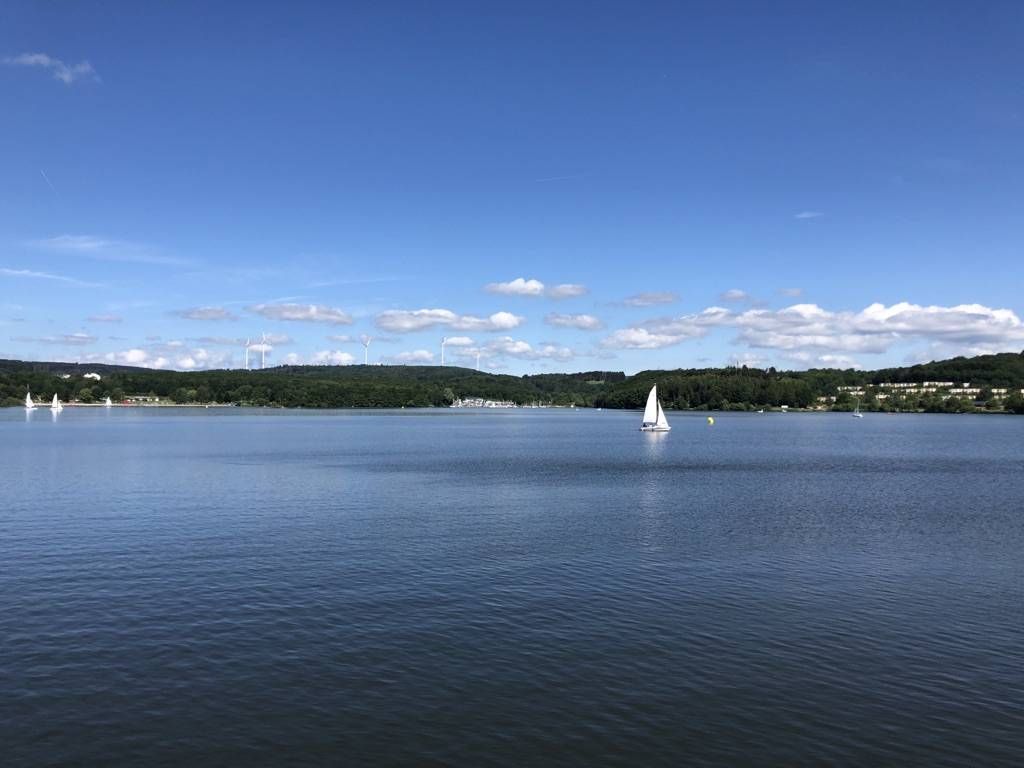
The best swimming lakes in Rhineland Palatinate and Saarland
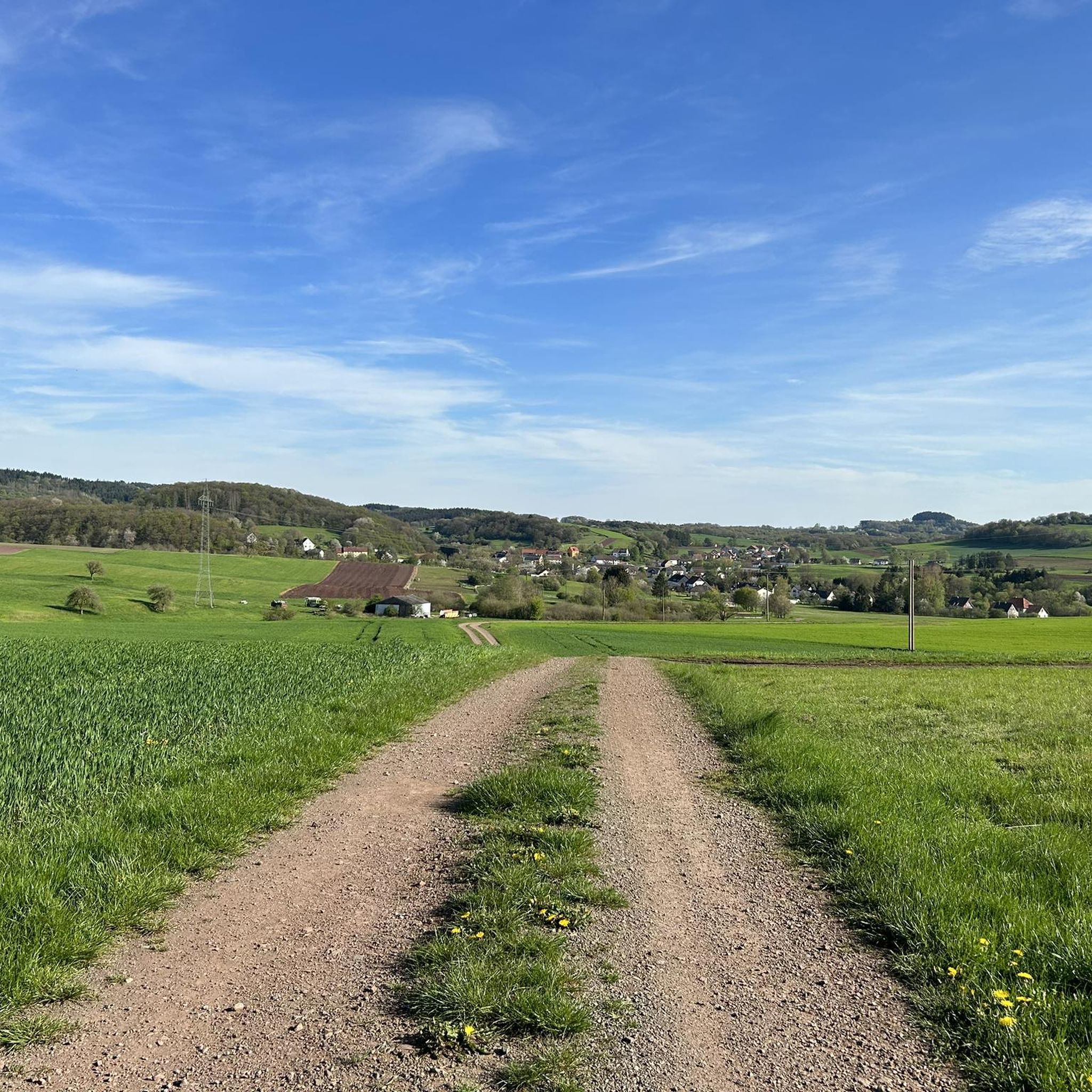
Cycling around Nohfelden
Other adventures around Nohfelden


Tips from the Community

Indeed a big oak. I couldn't quickly read how old it is, but the tree is certainly impressive, although it is a bit hidden among other trees.
1
0

The Dollberg rises in the Hunsrück part of the Schwarzwälder Hochwald on the border of the districts of Trier-Saarburg in Rhineland-Palatinate (northwest) and St. Wendel in Saarland (southeast) and is, at 695.4 m above sea level, the highest mountain in Saarland (Germany). It belongs to the Dollbergen. See: https://de.wikipedia.org/wiki/Dollberg
0
0
The Nahequelle in Nohfelden-Selbach, Saarland, is a popular leisure and hiking area. The 5.5 km long Nahequelle-Pfad (Premiumwanderweg) is ideal for families, offers an adventure playground, a wildlife enclosure (donkeys, goats, fallow deer) and leads through idyllic forests. The contained spring is located near the Bostalsee. See: https://www.nohfelden.de/adressen/nahequelle-mit-wildgehege/
1
0
The Schaumbergturm is an observation tower with a transmission facility on the 568.2 m above sea level (NHN[1]) high Schaumberg near Theley in Saarland.
1
0
The Nahequelle in Nohfelden-Selbach, Saarland, is a popular leisure and hiking area. The 5.5 km long Nahequelle-Pfad (Premium hiking trail) is ideal for families, offers an adventure playground, a wildlife enclosure (donkeys, goats, fallow deer) and leads through idyllic forests. The enclosed spring is located near the Bostalsee. See: https://www.nohfelden.de/adressen/nahequelle-mit-wildgehege/
1
0
The Nahequelle in Nohfelden-Selbach, Saarland, is a popular leisure and hiking area. The 5.5 km long Nahequelle-Pfad (premium hiking trail) is ideal for families, offers an adventure playground, an animal enclosure (donkeys, goats, fallow deer) and leads through idyllic forests. The contained spring is located near the Bostalsee. See: https://www.nohfelden.de/adressen/nahequelle-mit-wildgehege/
2
0
The rest area offers a bench, a view, playground equipment, and a permanently installed telescope aimed at the Schaumberg tower. It is an observation tower with a transmission facility on the 568.2 m high Schaumberg near Theley in Saarland.
1
0
The break spot is located directly in the shade at the edge of the forest with a view over meadows/fields. You can step into the wooden frames and take a souvenir photo.
1
0
Frequently Asked Questions
How many hiking trails are available in Nohfelden?
Nohfelden offers a wide variety of hiking experiences, with over 300 routes available. These range from easy strolls around the lake to more challenging paths through the forests and hills.
What kind of terrain can I expect on hikes around Nohfelden?
The region features diverse landscapes, including dense forests, expansive fields, and the prominent Bostalsee reservoir. You'll find trails winding through the extensive Buchwald beech forest, along the Nahe River, and offering scenic views from various elevated points within the Saar-Hunsrück Nature Park.
Are there easy hiking trails suitable for beginners or families?
Yes, Nohfelden has many easy trails, with 175 routes classified as easy. A popular choice is the Bostalsee hiking loop, which is 4.5 miles (7.2 km) and suitable for all fitness levels. The area around the Nahequelle is also known to be family-friendly.
Are there more challenging routes for experienced hikers?
For those seeking a greater challenge, Nohfelden offers 12 difficult routes. These trails typically involve more significant elevation changes and require good fitness and sturdy footwear, providing a rewarding experience through the region's varied terrain.
What do other hikers enjoy most about hiking in Nohfelden?
The hiking routes in Nohfelden are highly rated by the komoot community, with an average score of 4.6 stars from over 4000 reviews. Hikers often praise the well-signposted paths, the diverse landscapes, and the tranquil atmosphere, especially around the Bostalsee and within the Saar-Hunsrück Nature Park.
Are there circular walks available in Nohfelden?
Yes, many of the trails in Nohfelden are circular, offering convenient loop options. For example, the Lake Bostal – View of Lake Bostalsee loop from Gonnesweiler provides scenic views of the lake, while the Nahe Spring Trail (Western Loop) – Nahe Spring loop from Selbach explores the source of the Nahe River.
Can I hike with my dog in Nohfelden?
Nohfelden is generally dog-friendly, with many trails suitable for walks with your canine companion. It's always recommended to keep dogs on a leash, especially in nature protection areas or near wildlife, and to respect local signage regarding pet regulations.
Are there any trails with scenic viewpoints or landmarks?
Absolutely. You can find several trails that lead to stunning viewpoints, such as the "Aussichtspunkt Sengert" at 524 meters. Additionally, you can explore historical landmarks like the 13th-century Nohfelden Castle, which offers a wonderful lookout tower, or the ancient Hinkelstein Walhausen menhir. For specific views, consider visiting the View of Bostalsee from the dam or the Schaumberg Plateau and the Schaumberg Tower.
What natural attractions can I discover while hiking in Nohfelden?
Nohfelden is rich in natural attractions. You can hike around the expansive Bostalsee North Shore, visit the source of the Nahe River (Nahequelle) which features a wild area with animals, or explore the Buchwald forest, home to a 250-year-old larch and the largest Douglas fir in southwest Germany. The Dollberg – Highest point in Saarland is also nearby.
Are there any unique experiences like stargazing sites in Nohfelden?
Yes, Nohfelden offers several excellent stargazing sites for observing the night sky. These include the Peterberg Observatory, the Nahequelle in Nohfelden-Selbach, and Bosener Mühle at Lake Bostalsee, providing a unique dimension to your outdoor experience.
What is the best time of year to go hiking in Nohfelden?
Nohfelden offers a tranquil escape into nature year-round. Spring and autumn provide pleasant temperatures and vibrant scenery, while summer is ideal for combining hikes with activities at Bostalsee. Winter can offer peaceful, snow-dusted landscapes, though some services might be limited.
Are there any cultural or historical sites along the trails?
Beyond natural beauty, Nohfelden's trails can lead you to cultural and historical sites. The 13th-century Nohfelden Castle (Veldenz Castle) is a prominent landmark, and the idyllic Waldkapelle in Selbach serves as a popular resting spot for hikers. You can also encounter the ancient Hinkelstein Walhausen, a menhir dating back to 2000–1800 BC.
Most popular routes around Nohfelden
Most popular attractions around Nohfelden

Get inspired with the komoot mobile app


Explore more
Browse the best Hikes in other regions.
