The best hikes from bus stations around Nohfelden
4.6
(5651)
27,399
hikers
158
hikes
Bus station hiking trails around Nohfelden traverse a diverse landscape within the Saar-Hunsrück Nature Park, characterized by dense forests, rolling hills, and stream valleys. The region features the Bostalsee, a large recreational lake with a circular path, and the Nahequelle, the source of the Nahe River. Elevated viewpoints and varied terrain, including meadows and forests, offer a range of hiking experiences.
Best bus station hiking trails around Nohfelden
- The most popular bus station hiking route is Bostal Lake Dam –…
Last updated: July 11, 2026
4.2
(33)
72
hikers
7.97km
02:18
210m
210m
Moderate hike. Good fitness required. Easily-accessible paths. Suitable for all skill levels.
4.8
(333)
1,276
hikers
12.1km
03:19
190m
190m
Moderate hike. Good fitness required. Easily-accessible paths. Suitable for all skill levels.

Sign up for free
4.7
(1026)
5,326
hikers
7.44km
01:56
50m
50m
Easy hike. Great for any fitness level. Easily-accessible paths. Suitable for all skill levels.
4.8
(150)
587
hikers
Moderate hike. Good fitness required. Easily-accessible paths. Suitable for all skill levels.
4.4
(17)
49
hikers
17.0km
04:34
220m
220m
Moderate hike. Good fitness required. Easily-accessible paths. Suitable for all skill levels.
Get access to more routes and recommendations from other explorers.
Sign up for free
Already have an account?
Our route recommendations are based on thousands of hikes, rides, and runs completed by other people on komoot.
Start today with a free account
Your next adventure awaits.
Login or Signup
Popular around Nohfelden

Lowest to Highest (L2H) in Germany

Countless trails, nature & history – hiking in Saarland
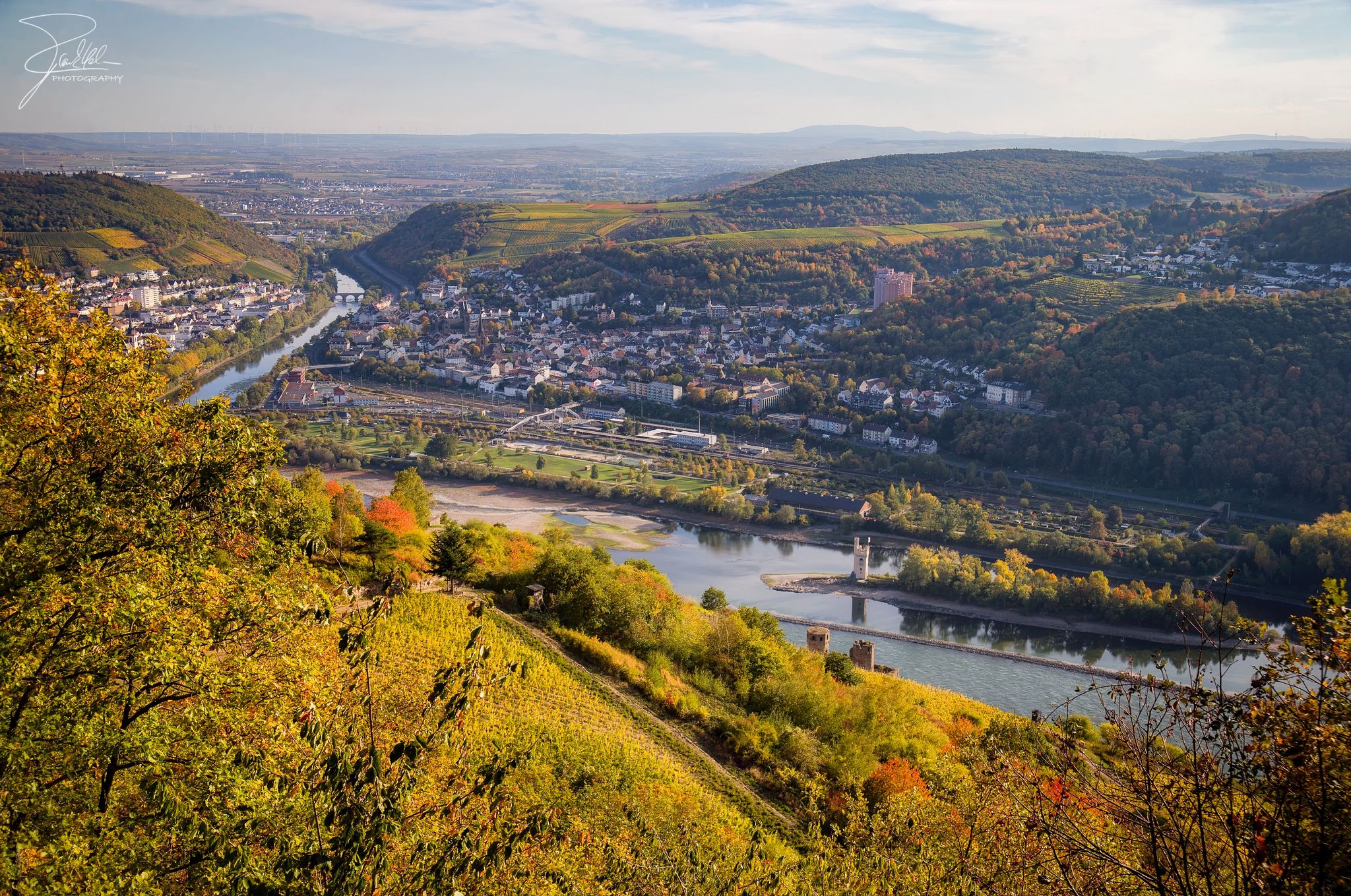
The Nahe Cycle Path – Between Rocks and Vines
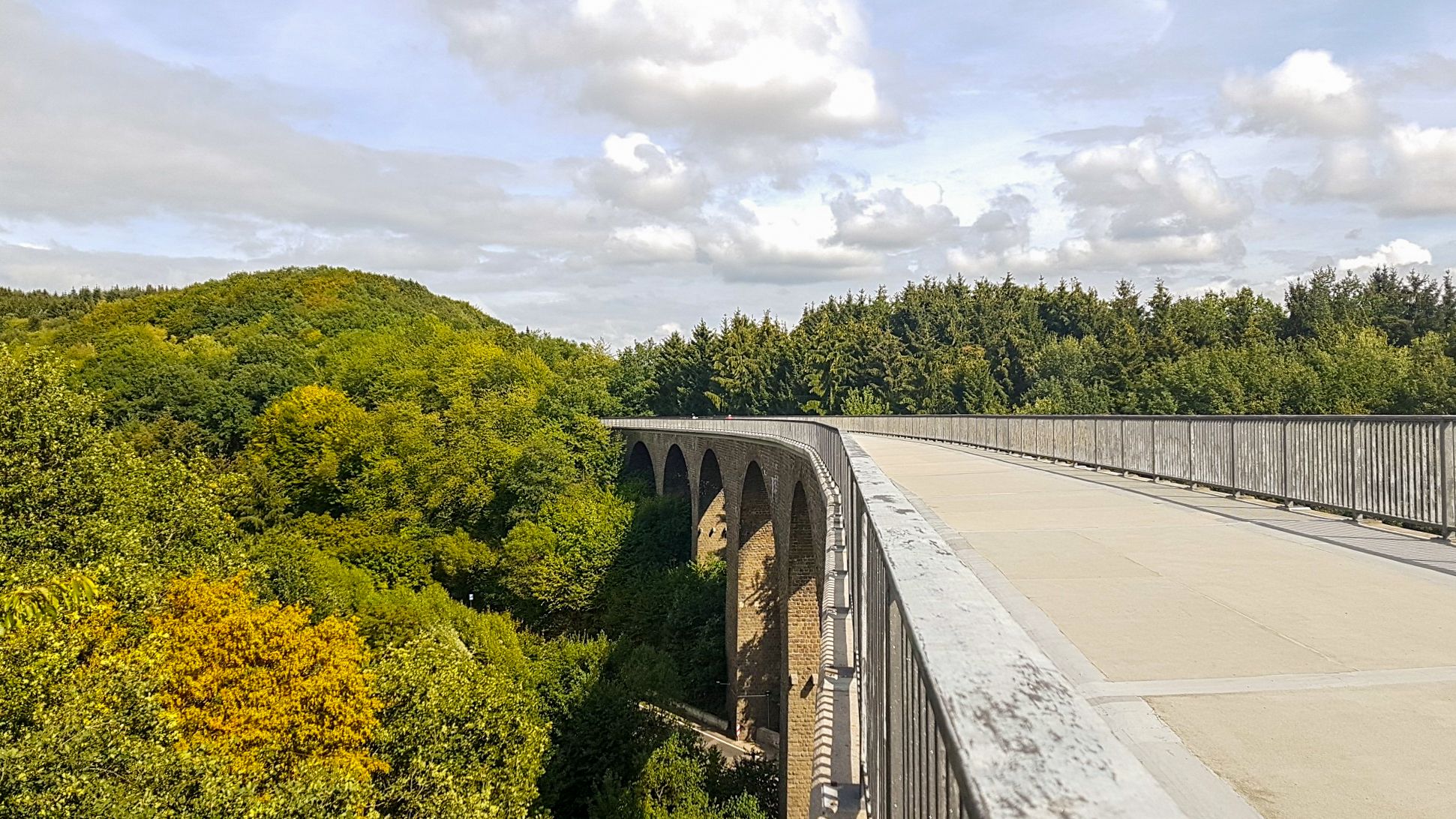
Saarland Cycle Path — Small country, big tour on 7 stages
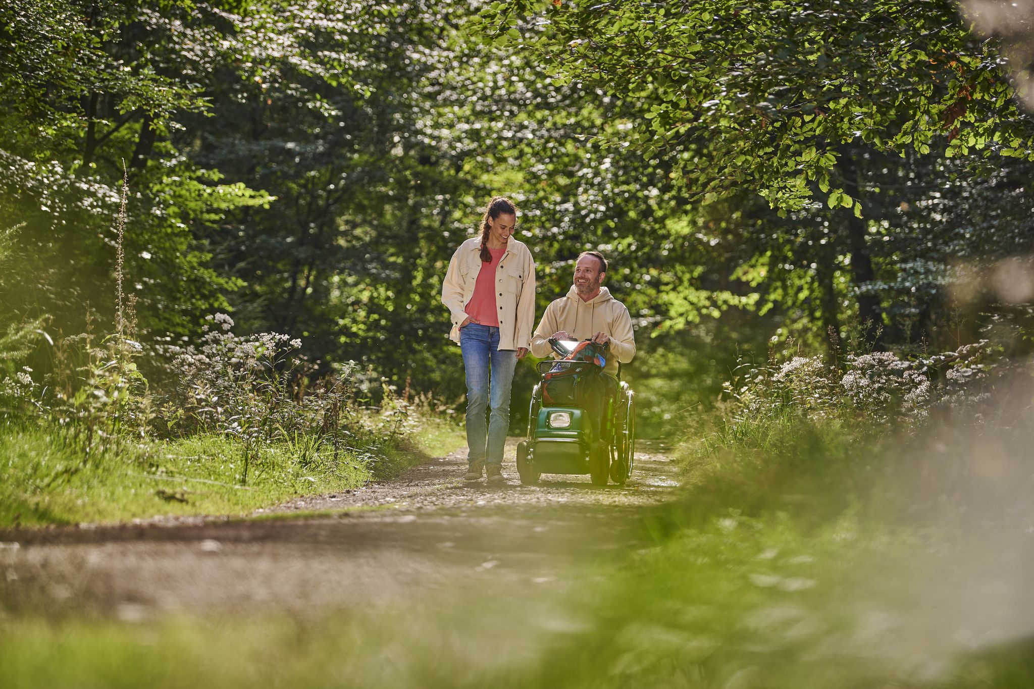
Experience nature without detours - barrier-free adventures in Saarland
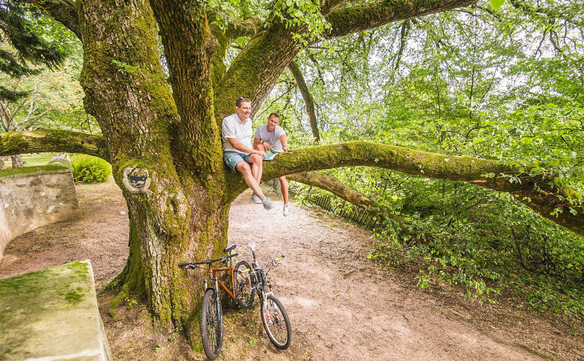
Cycling pleasure in Birkenfeld Land

33 lakes for sunny weekends
The best swimming lakes in Rhineland Palatinate and Saarland
Other adventures around Nohfelden


Tips from the Community

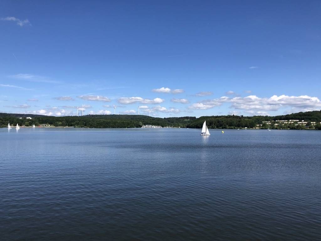
A beautiful lake that is great to walk around. You can park directly at the dam, and a lap is approx. 8km.
1
0

An insect hotel is a valuable nesting aid and overwintering place for wild bees, solitary wasps, and other beneficial insects. It is made of natural materials such as wood, reeds, or clay and should be placed in a sunny, dry, and wind-protected location – preferably facing south. 🪰🐝🦟
0
0
It was a fun experience with great pictures.
1
0


It's actually a lovely loop around the lake. Unfortunately, it was incredibly crowded! This significantly diminished the hiking experience. Perhaps it's best to avoid going on weekends or in good weather. Early morning or later in the afternoon might also be more relaxing...
0
0

Now part of the Collection https://www.komoot.com/de-de/collection/3600632/-naturdenkmaeler-besondere-baeume-und-weitere-schaetze-der-natur
0
0

The Upside-Down House
0
0

The hike leads mainly through beautiful forests or along the edge of the forest, varied, with small inclines, but well-maintained. Beautiful hiking trail
0
0
Frequently Asked Questions
How many hiking trails are accessible from bus stations around Nohfelden?
There are over 140 hiking trails around Nohfelden that are easily accessible from bus stations, offering a wide range of options for all skill levels.
Are there easy, family-friendly hiking routes accessible by bus in Nohfelden?
Yes, Nohfelden offers many easy routes suitable for families. The area around Bostalsee is particularly well-suited, with a 6.8 km circular path that is mostly flat and offers scenic views. An example is the Bostal Lake Dam – View of Bostalsee from the dam loop from Neunkirchen (Nahe), which is an easy 5.9 km hike.
Can I find circular hiking routes that start and end at a bus station?
Absolutely. Many trails in the Nohfelden region are designed as circular routes, making them ideal for public transport users. For instance, the View of Schaumberg – Napoleon Oak loop from Selbach is a moderate 11.7 km circular hike that starts and ends in Selbach, a common bus stop.
What kind of natural landscapes can I expect on bus-accessible hikes in Nohfelden?
Hikes accessible by bus in Nohfelden traverse diverse landscapes within the Saar-Hunsrück Nature Park. You'll encounter dense forests, rolling hills, romantic stream valleys, and open fields. The region is also home to the Nahequelle, the source of the Nahe River, and offers varied terrain with elevated viewpoints.
Are there any interesting landmarks or attractions along the bus station hiking trails?
Yes, several trails pass by notable attractions. You might encounter historical sites like the King's Square at the Hunnenring, or natural features such as the Leitersweiler Beeches. The Nahequelle, the source of the Nahe River, is also a significant point of interest on some routes, such as the Nahe Spring Trail (Western Loop).
Are there any longer, more challenging bus-accessible hikes for experienced hikers?
For those seeking a longer challenge, the region offers moderate to difficult trails. An example is the Path Along the Upper Nahe – Oberthaler Moor Wooden Pathway loop from Selbach, a moderate 17 km route that explores the diverse natural landscape of the Nahe valley.
What do other hikers say about the bus-accessible trails in Nohfelden?
The hiking trails around Nohfelden are highly rated by the komoot community, with an average score of 4.6 stars from over 4,100 ratings. Reviewers often praise the well-maintained paths, the varied scenery, and the accessibility of many routes by public transport.
Are there any trails that offer unique experiences, like a 'Yogaweg'?
Yes, the region offers unique themed trails. For example, you can explore the Yogaweg, a moderate 7.97 km hike that combines nature with opportunities for mindfulness and relaxation.
Can I find trails with viewpoints accessible by bus?
Many trails in Nohfelden lead to elevated viewpoints, offering magnificent panoramas of the surrounding landscape. The varied terrain of forests, meadows, and river valleys often provides natural overlooks. The region's highest point, Dollberg, also offers unique natural experiences.
What is the best season for bus station hikes in Nohfelden?
Nohfelden's diverse landscapes make it suitable for hiking in various seasons. Spring brings blooming orchards, summer offers lush forests and lake activities, autumn showcases vibrant foliage, and even winter can be magical with serene, snow-dusted trails, especially in the Saar-Hunsrück Nature Park.
Most popular routes around Nohfelden
Most popular attractions around Nohfelden

Get inspired with the komoot mobile app


Explore more
Browse the best Hikes in other regions.
