The best cycling routes around Niederwaldkirchen
4.7
(48)
600
riders
57
rides
Touring cycling routes around Niederwaldkirchen traverse the hilly Mühlviertel region of Upper Austria, offering varied terrain for cyclists. The landscape features rolling hills, the Pesenbach brook, and proximity to the Danube valley, including the Schlögener Schlinge. This area is part of the Granitland region, known for its diverse cycling infrastructure and routes. The routes often include both ascents and descents, providing a dynamic cycling experience.
Best touring cycling routes around Niederwaldkirchen
- The most popular touring cycling route is Burgstall observation…
Last updated: June 27, 2026
5.0
(1)
107
riders
65.7km
06:03
1,700m
1,700m
Hard bike ride. Very good fitness required. You may need to push your bike for some segments of this route.
4.7
(9)
62
riders
56.4km
03:38
720m
720m
Hard bike ride. Very good fitness required. Mostly paved surfaces. Suitable for all skill levels.

Sign up for free
4.4
(7)
50
riders
Hard bike ride. Very good fitness required. Mostly paved surfaces. Suitable for all skill levels.
27
riders
79.3km
06:46
1,840m
1,840m
Hard bike ride. Very good fitness required. You may need to push your bike for some segments of this route.
5.0
(1)
32
riders
Hard bike ride. Very good fitness required. You may need to push your bike for some segments of this route.
Get access to more routes and recommendations from other explorers.
Sign up for free
Already have an account?
Our route recommendations are based on thousands of hikes, rides, and runs completed by other people on komoot.
Start today with a free account
Your next adventure awaits.
Login or Signup
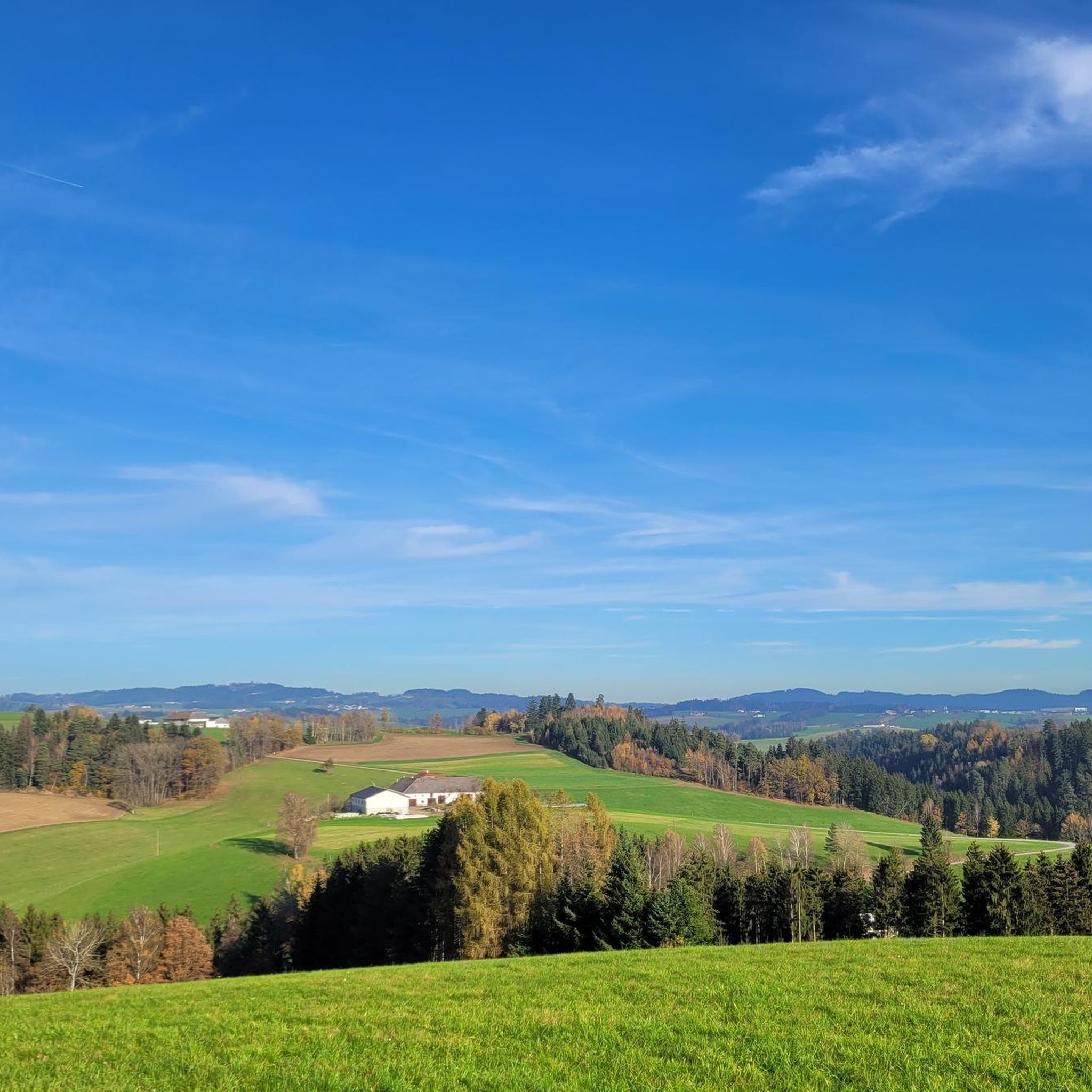
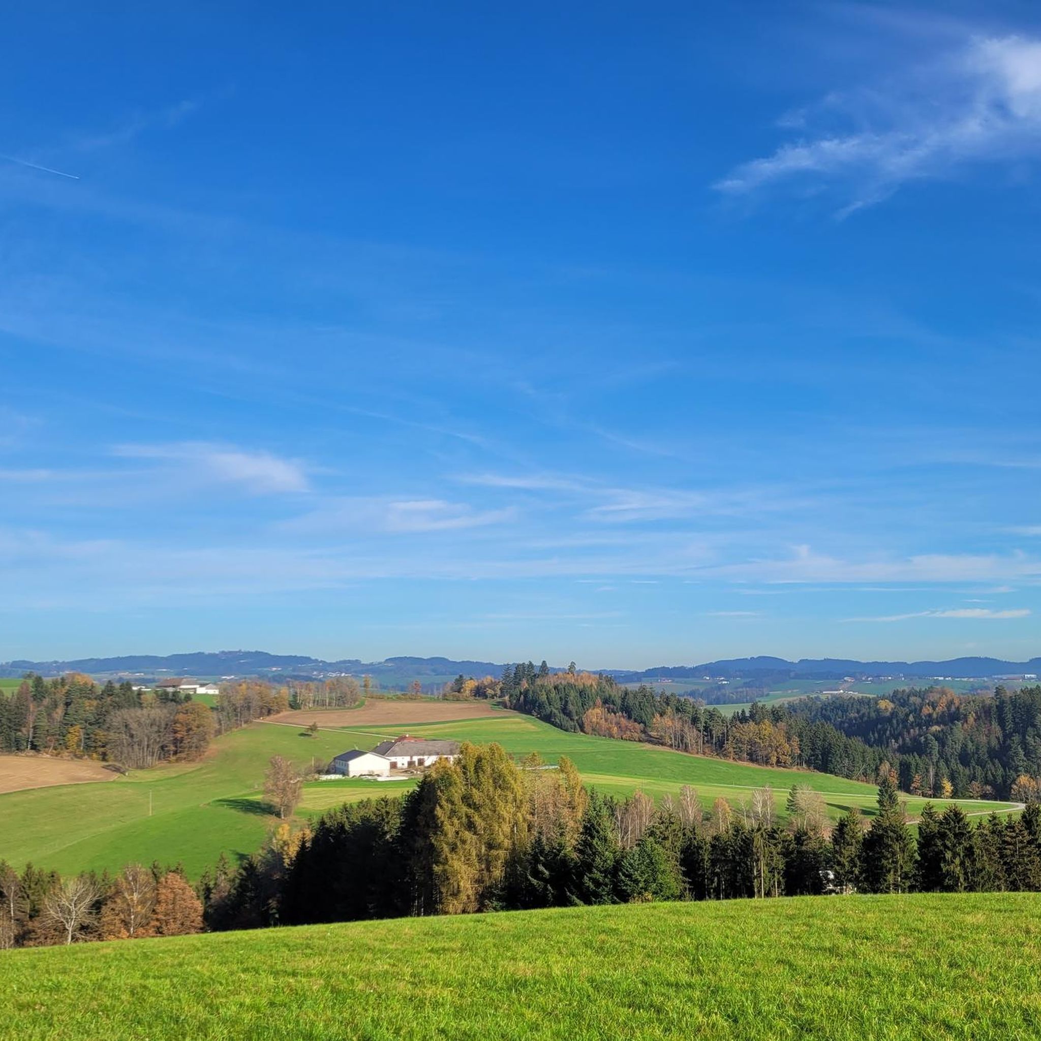
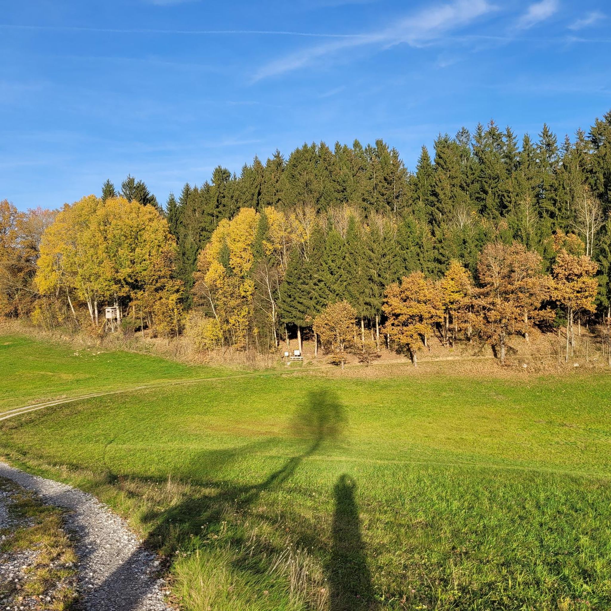
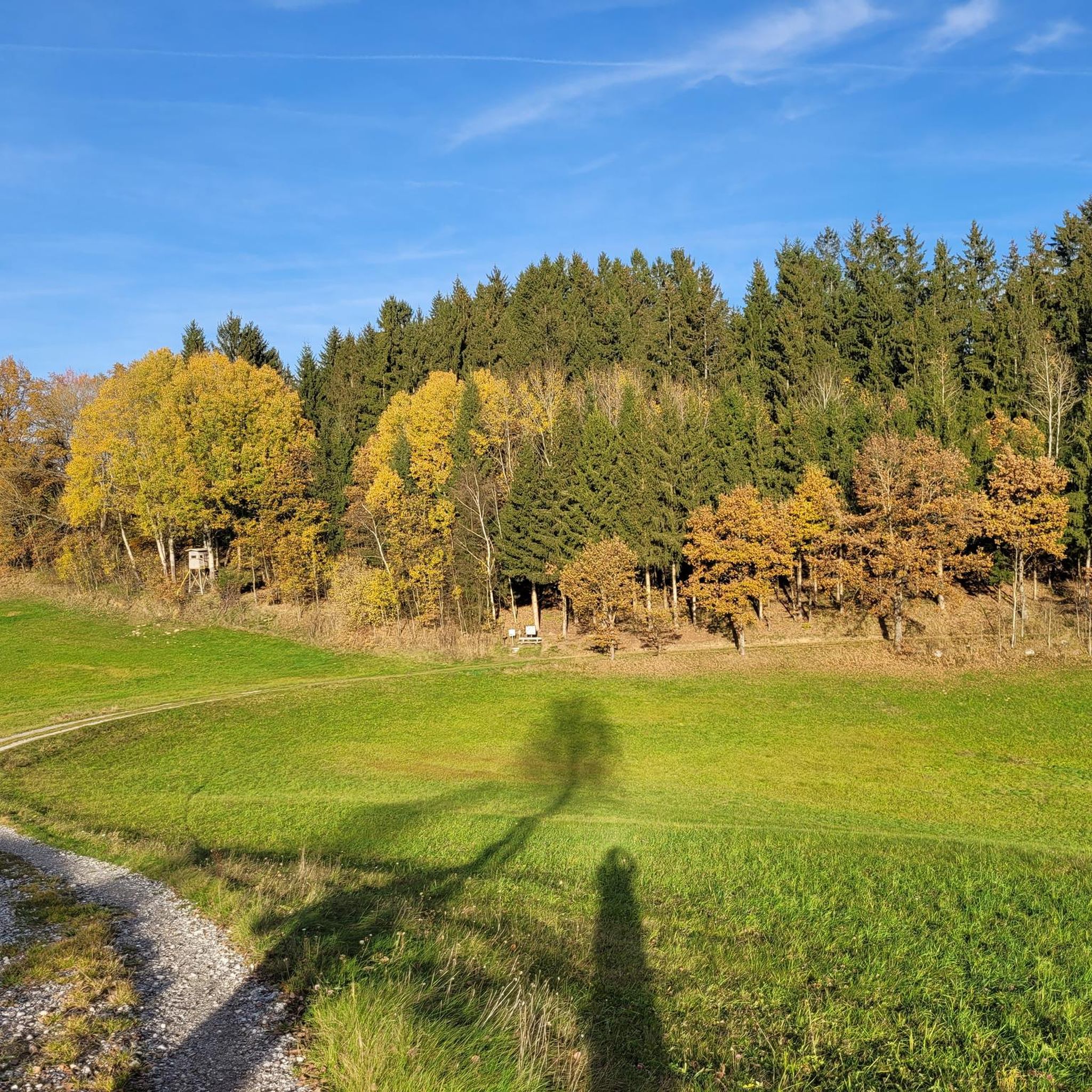

Tips from the Community

Thousands of commuters traveling from the Rohrbach catchment area to Linz for work must pass through this roundabout every day.
0
0


View of the Danube from Neuhaus Castle
2
0

Surrounded by forests and meadows, fishing becomes a real nature experience where swimming is also permitted
6
0
In the Neufelden reservoir, surrounded by forests and meadows, fishing becomes a real nature experience where swimming is also permitted
3
0

Frequently Asked Questions
How many touring cycling routes are available around Niederwaldkirchen?
There are over 50 touring cycling routes around Niederwaldkirchen, offering a wide range of options for cyclists. These routes vary in difficulty, with a significant number of challenging paths through the hilly Mühlviertel region.
What kind of terrain can I expect on touring cycling routes in Niederwaldkirchen?
The terrain around Niederwaldkirchen is characterized by the rolling hills of the Mühlviertel region, offering varied ascents and descents. You'll encounter picturesque paths alongside the Pesenbach brook and routes that lead into the scenic Danube valley, including the dramatic Schlögener Schlinge. The area is also part of the Granitland region, known for its diverse cycling infrastructure.
What natural landmarks can I see while cycling near Niederwaldkirchen?
While cycling, you can explore several natural highlights. The region features unique geological formations like the Kerzenstein and the Granite Experience. You can also discover the beautiful Pesenbachsteig Trail and enjoy stunning views of the Danube Bend Near Haibach and the iconic Schlögener Schlinge.
Are there any historical sites or castles along the touring cycling routes?
Yes, the area around Niederwaldkirchen is rich in historical sites. You can find several castles and ruins, such as the Waxenberg Castle Ruins, Brunnwald Castle, and the historic site of Waxenberg. Many routes offer views of these impressive structures, including the View of Schloss Neuhaus.
Are there any circular touring cycling routes in the area?
Many touring cycling routes around Niederwaldkirchen are designed as loops, allowing you to start and end at the same point. An example is the challenging Doppl Bridge – Untermühl loop from Neuhaus-Niederwaldkirchen, which covers over 56 km with significant elevation changes.
What is the best time of year for touring cycling in Niederwaldkirchen?
The hilly Mühlviertel region is generally best enjoyed from spring through autumn. These seasons offer pleasant temperatures and vibrant landscapes, making the ascents and descents more enjoyable. While specific weather conditions vary, avoiding the colder winter months is advisable for touring cycling.
Are there family-friendly touring cycling routes in Niederwaldkirchen?
While many routes in Niederwaldkirchen are rated as difficult due to the hilly terrain, there are a few easier options available. For families or those seeking a more relaxed ride, it's recommended to look for routes specifically marked as 'easy' or 'moderate' on komoot, which typically have less elevation gain and shorter distances.
What do other touring cyclists say about the routes in Niederwaldkirchen?
The touring cycling routes in Niederwaldkirchen are highly regarded by the komoot community, with an average rating of 4.5 stars from over 30 reviews. Cyclists often praise the varied terrain, the scenic beauty of the Mühlviertel, and the challenging yet rewarding ascents and descents.
Can you recommend a challenging touring cycling route with significant elevation?
For experienced touring cyclists looking for a challenge, the View of the Neufelden Reservoir – Neufelden Historic Marketplace loop from Neuhaus-Niederwaldkirchen is an excellent choice. This difficult route spans over 34 km and features substantial elevation changes, offering a demanding yet rewarding experience through the region's hills.
Where can I find parking for touring cycling routes in Niederwaldkirchen?
While specific parking information for every trailhead isn't always available, many routes around Niederwaldkirchen, especially those starting from larger towns or popular points like Neuhaus-Niederwaldkirchen, typically have designated parking areas nearby. It's advisable to check the route details on komoot for specific starting points and potential parking suggestions.
Is public transport accessible for reaching touring cycling routes in Niederwaldkirchen?
Niederwaldkirchen and the surrounding Mühlviertel region have public transport connections, though their frequency and bike-carrying capacity can vary. For specific routes, it's best to research local bus or train services to see if they align with your chosen starting points and if they accommodate bicycles, especially for longer journeys to the region.
Are there places to eat or rest along the touring cycling routes?
The Mühlviertel region, including the area around Niederwaldkirchen, is known for its hospitality. While not every route will have cafes or restaurants directly on the path, many routes pass through or near villages and towns where you can find places to eat, refill water, and rest. It's a good idea to plan your stops in advance, especially on longer routes.
Most popular routes around Niederwaldkirchen
Most popular attractions around Niederwaldkirchen

Get inspired with the komoot mobile app


Explore more
Browse the best Cycling routes in other regions.
