The best MTB trails around Niederstadtfeld
4.6
(2513)
8,417
riders
448
rides
Mountain biking around Niederstadtfeld offers diverse terrain shaped by its unique volcanic landscapes in the Volcanic Eifel region. The area features rolling hills, ancient lava flows, and lush forests, providing varied topography with ascents and descents. Maars, which are volcanic crater lakes, are a defining feature, alongside idyllic river valleys like the Kleine Kyll and Salm, which offer serene forest paths. This geological history creates a challenging and scenic backdrop for mountain bike trails.
Best mountain bike trails around Niederstadtfeld
…Last updated: October 3, 2026
4.3
(42)
56
riders
Moderate mountain bike ride. Good fitness required. Suitable for all skill levels.
4.7
(106)
673
riders
50.4km
04:35
1,060m
1,060m
Hard mountain bike ride. Very good fitness required. Advanced riding skills necessary.

4.2
(10)
37
riders
41.1km
04:02
560m
560m
Moderate mountain bike ride. Good fitness required. Advanced riding skills necessary.
4.7
(14)
26
riders
Hard mountain bike ride. Great for any fitness level. Advanced riding skills necessary. Some portions of the route may require you to push your bike.
20
riders
46.3km
04:38
970m
970m
Hard mountain bike ride. Very good fitness required. Advanced riding skills necessary. Some portions of the route may require you to push your bike.
Get access to more routes and recommendations from other explorers.
Already have an account?
Our route recommendations are based on thousands of hikes, rides, and runs completed by other people on komoot.
Start today with a free account
Your next adventure awaits.
Popular around Niederstadtfeld

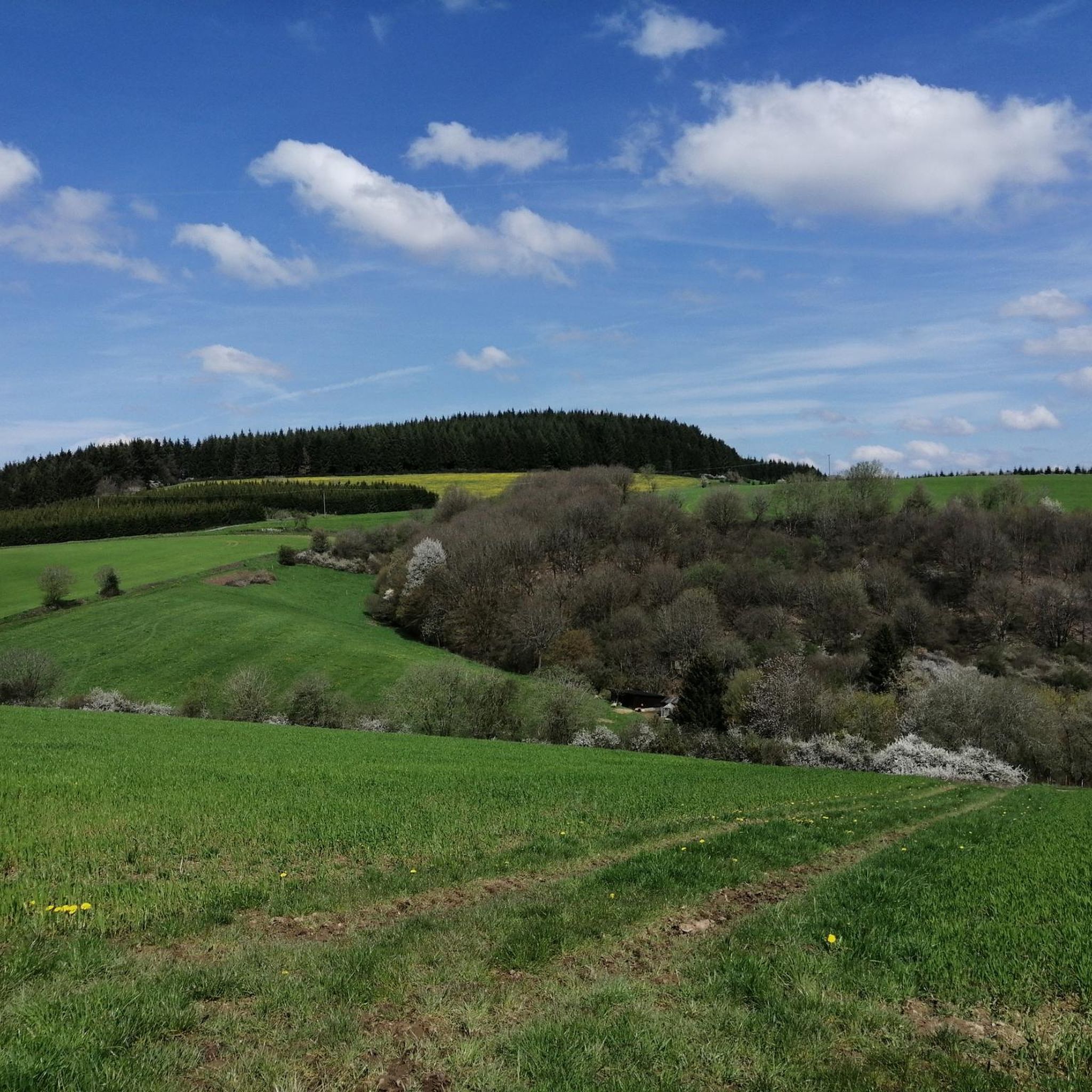
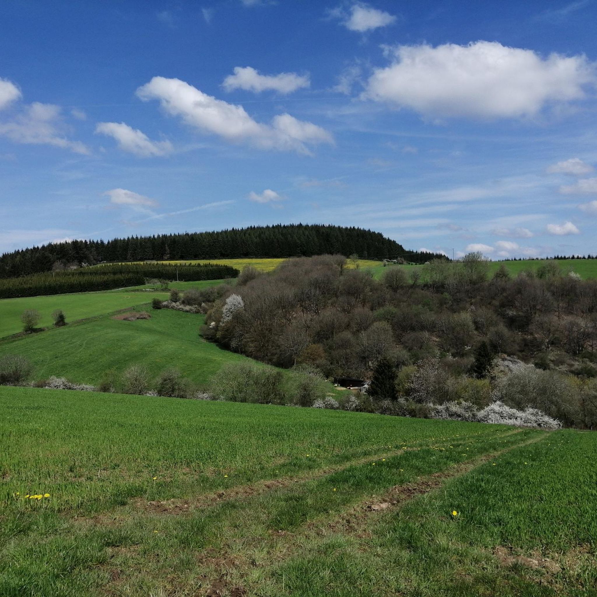
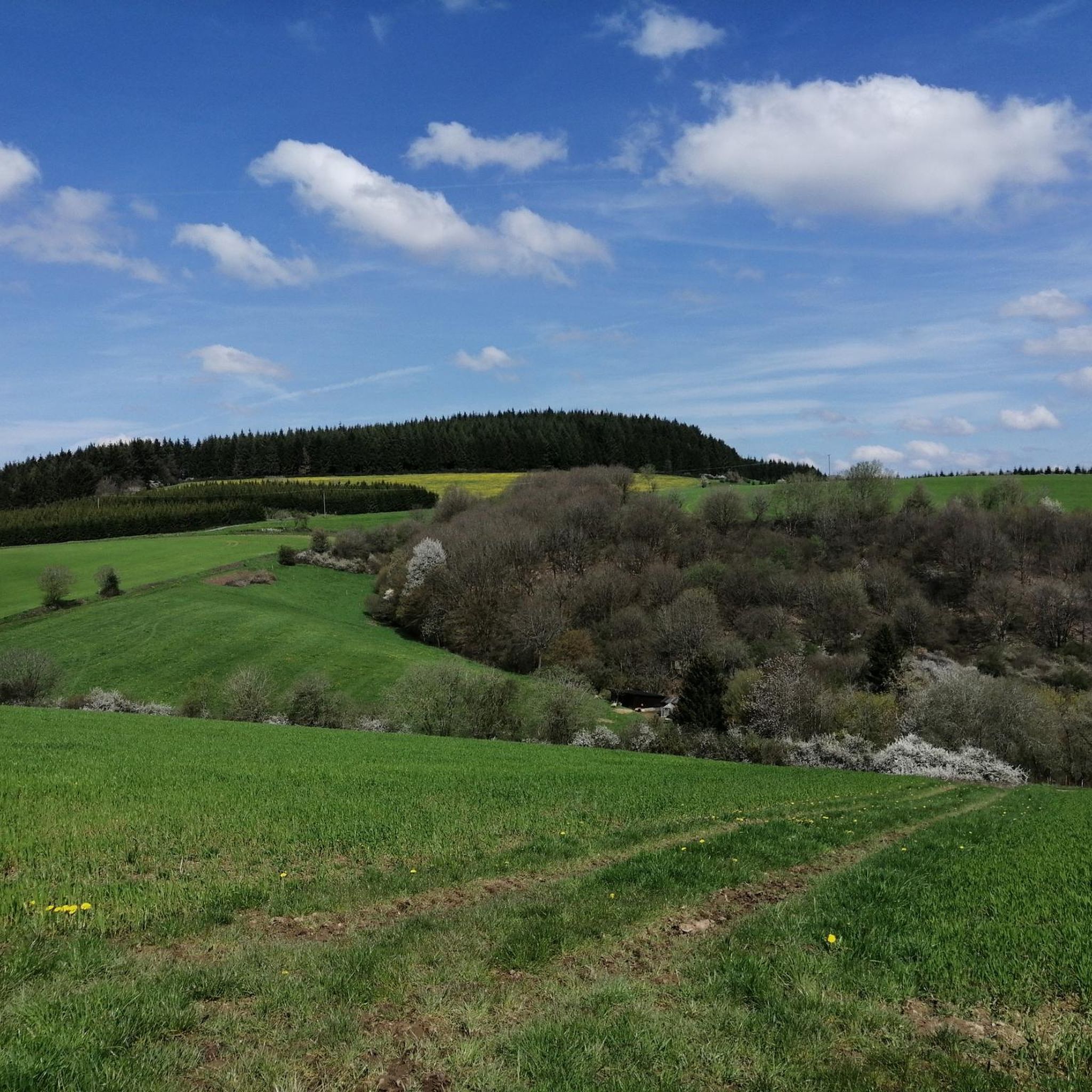
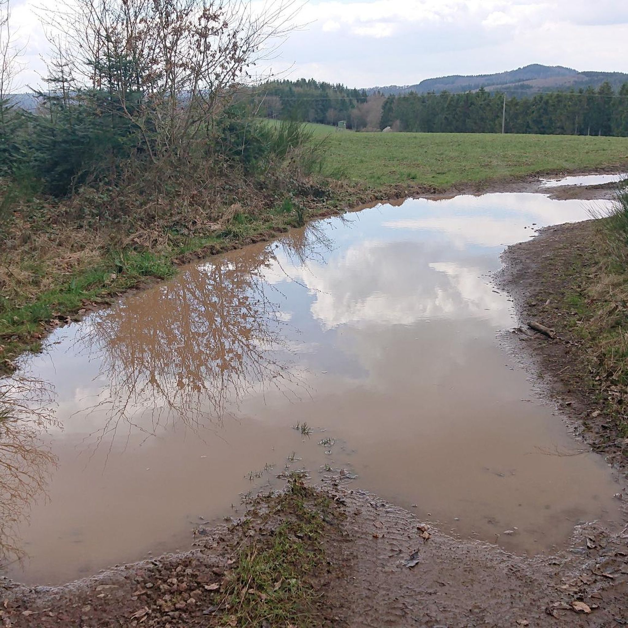
Other adventures around Niederstadtfeld

Tips from the Community

Not possible to see the lake anymore in 2026 due to growth of the bushes
0
0

At the center of this shrine dedicated to the Mother of God, built just a stone's throw from the far more famous "Brubbel" (Wallenborner cold water geyser), stands a statue of her. The depiction shows her with her son Jesus Christ, taken down from the cross, whose dead body she once more takes into her lap before the burial.
1
1

Impressive spruce + resting place for a quiet break :)
0
0

Beautiful castle nestled in the forest. Unfortunately, it is privately owned and cannot be visited.
0
0

Weinfelder Maar - Impressive Evidence of Explosive Geological History The Weinfelder Maar – also known as Totenmaar – is one of the three so-called Daun Maars. It is located about 2 kilometers from our district town of Daun, near the municipality of Schalkenmehren, between the Gemünden and Schalkenmehren Maars. It has a diameter of approximately 525 meters and a depth of 51 meters, making it the deepest of the three Daun Maars. It is the youngest and, at 487 meters above sea level, the highest of the three closely adjacent maars, which formed between 20,000 and 30,000 years ago. Text / Source: Natur- und Geopark Vulkaneifel GmbH, Mainzer Str. 25, Daun https://www.geopark-vulkaneifel.de/eifel/landschaft/maare-und-kraterseen/weinfelder-maar.html
12
0
Weinfelder Maar The Weinfelder Maar, formed by volcanic activity around 20,000 to 30,000 years ago, is the highest of the three Daun Maars at 487 meters above sea level. The lake is 51 meters deep and has a diameter of 396 to 429 meters. An almost melancholic atmosphere surrounds the maar. Many legends surround the tranquil Eifel eye. A castle is said to have once stood on the site of the crater, where a count lived with his wife and only child. After returning home from a hunt, the castle had sunk as punishment for the woman's nastiness, and he found only a lake where a cradle miraculously floated his child safely to the shore. If you look at the dark surface of the water long enough, it is said that you can make out the outline of the castle. The German landscape painter Fritz von Wille was so fascinated by the Weinfelder Maar that he repeatedly immortalized it in his paintings. Among his favorite motifs was the small chapel on the north bank, dedicated to Saint Martin. It was once the parish church of the village of Weinfeld, which was ravaged by the plague in the 16th century. Anyone who rings the bells inside by pulling the ropes can make a wish. To this day, the associated cemetery is maintained and used by the local community of Schalkenmehren. This is also where its second name, Totenmaar, comes from. Donkeys and goats have been introduced to the Weinfelder Maar to regulate vegetation. The maar's unique flora and fauna are protected. Swimming and other water sports are prohibited in the Weinfelder Maar, but a nearly two-kilometer-long path makes it a wonderful place to explore on foot. Parking: Guests can park along the L64 either in the parking lot at the Weinfelder Maar or on the Maarsattel between the Weinfelder Maar and the Schalkenmehrener Maar. Text / Source: GesundLand Vulkaneifel GmbH, Leopoldstr. 9 A, 54550 Daun https://www.eifel.info/a-weinfelder-maar
12
0

A wonderful destination, ideal for hiking and cycling
2
1

My grandfather had the Manstein Bridge built so that the grain wagons could get through the forest to the mills better and safer! 😉 Claudia Manstein
0
0
Frequently Asked Questions
What kind of terrain can I expect on mountain bike trails around Niederstadtfeld?
The trails around Niederstadtfeld are shaped by the unique volcanic landscapes of the Volcanic Eifel. You'll encounter a varied topography with rolling hills, ancient lava flows, and lush forests. Expect ascents and descents, often navigating through maars (volcanic crater lakes) and idyllic river valleys like the Kleine Kyll and Salm, which provide serene forest paths.
Are there mountain bike trails suitable for beginners in Niederstadtfeld?
Yes, Niederstadtfeld offers a range of trails for different skill levels. While the region is known for its challenging volcanic terrain, there are over 60 easy mountain bike routes available. These routes often follow gentler paths through river valleys and forests, providing a good introduction to the area's natural beauty.
What are some challenging mountain bike routes for experienced riders?
For experienced riders seeking a challenge, the region offers over 110 difficult routes. A notable option is the View of the Weinfelder Maar – Dronke Tower on the Mäuseberg loop from Oberstadtfeld, a difficult 31.2-mile (50.2 km) path with significant elevation gain, rewarding riders with expansive views from the Dronke Tower. Another demanding trail is the Lieserpfad Trail – Lieserpfad Trail loop from Üdersdorf, a 31.8 km route with over 580 meters of ascent.
Are there any circular mountain bike routes in the area?
Many mountain bike routes around Niederstadtfeld are designed as loops, allowing you to start and end in the same location. For example, the Himmerod Abbey – Meerfelder Maar loop from Oberstadtfeld is a 37.6-mile (60.6 km) circular trail that explores volcanic maars and a historic abbey. Another option is the New Bridge Over the Kyll – Wallender Born Geyser loop from Wallenborn, a 24.3-mile (39.1 km) loop passing by the Wallender Born Geyser.
What natural features or landmarks can I see along the mountain bike trails?
The trails often lead past the region's distinctive maars, such as the Schalkenmehrener Maar and the Gemündener Maar. You can also visit viewpoints like the Dronke Tower on the Mäuseberg, offering panoramic views. Some routes, like the New Bridge Over the Kyll – Wallender Born Geyser loop from Wallenborn, pass by the unique Wallender Born Geyser.
Is Niederstadtfeld a good destination for family mountain biking?
While many trails offer challenging ascents, the region also provides options for families. The extensive network includes over 60 easy routes that are generally less demanding, often following scenic paths through river valleys and forests. These can be a great way for families to enjoy the unique volcanic landscape together.
Are mountain bike trails in Niederstadtfeld dog-friendly?
Many trails in the Volcanic Eifel region are suitable for dogs, especially those that traverse forests and open landscapes. However, it's always recommended to keep dogs on a leash, especially in nature reserves or areas with wildlife, and to check specific trail regulations or local signage before heading out. Ensure your dog is fit enough for the distance and elevation of your chosen route.
What do other mountain bikers enjoy most about mountain biking in Niederstadtfeld?
The area is highly rated by the komoot community, with an average score of 4.6 stars from over 2500 reviews. Reviewers often praise the diverse terrain, the unique volcanic landscapes featuring maars and river valleys, and the challenging yet rewarding ascents that lead to spectacular viewpoints like the Dronke Tower.
What is the best time of year for mountain biking in Niederstadtfeld?
The Volcanic Eifel region is generally enjoyable for mountain biking from spring through autumn. Spring brings lush greenery and blooming landscapes, while autumn offers vibrant fall colors. Summer is also popular, though some trails can be busy. Winter conditions can vary, with potential for snow or ice, making some trails less accessible or more challenging.
Are there options for parking near the mountain bike trails in Niederstadtfeld?
Yes, as a popular outdoor destination, Niederstadtfeld and surrounding villages typically offer designated parking areas for visitors. Many trailheads, especially those for longer loops or popular routes, will have parking facilities. It's advisable to check specific starting points for available parking before your ride.
Can I access mountain bike trails in Niederstadtfeld using public transport?
The Volcanic Eifel region has some public transport connections, though direct access to all trailheads might be limited. Buses serve many of the smaller towns and villages, including Niederstadtfeld. It's recommended to research specific bus routes and schedules in advance to plan your journey, especially if you intend to bring your bike on public transport, as capacity can be restricted.
Most popular routes around Niederstadtfeld
Most popular attractions around Niederstadtfeld

Get inspired with the komoot mobile app


Explore more
Browse the best MTB trails in other regions.
