The best MTB trails around Niederschönenfeld
4.6
(589)
1,888
riders
337
rides
Mountain bike trails around Niederschönenfeld are set within the diverse Donau-Ries region of Bavaria, Germany. The area features a unique landscape shaped by the Ries Crater, offering gentle hills and distinctive geological formations. Riders can explore picturesque river valleys of the Danube, Lech, and Wörnitz, which provide varied terrain from flat, paved sections to more challenging routes with elevation changes and unpaved paths. The region combines river plains, rolling hills, and forested areas, creating a range of mountain biking experiences.
…Last updated: October 7, 2026
4.8
(14)
34
riders
34.2km
01:54
180m
180m
Moderate mountain bike ride. Great for any fitness level. Advanced riding skills necessary.
4.6
(8)
28
riders
50.3km
03:06
250m
250m
Moderate mountain bike ride. Good fitness required. Advanced riding skills necessary.

4.9
(7)
22
riders
27.6km
01:35
50m
50m
Easy mountain bike ride. Great for any fitness level. Suitable for all skill levels.
4.3
(3)
13
riders
32.6km
02:12
60m
60m
Moderate mountain bike ride. Good fitness required. Suitable for all skill levels.
5.0
(5)
16
riders
28.3km
01:29
40m
40m
Moderate mountain bike ride. Great for any fitness level. Advanced riding skills necessary.
Get access to more routes and recommendations from other explorers.
Already have an account?
Our route recommendations are based on thousands of hikes, rides, and runs completed by other people on komoot.
Start today with a free account
Your next adventure awaits.
Tips from the Community

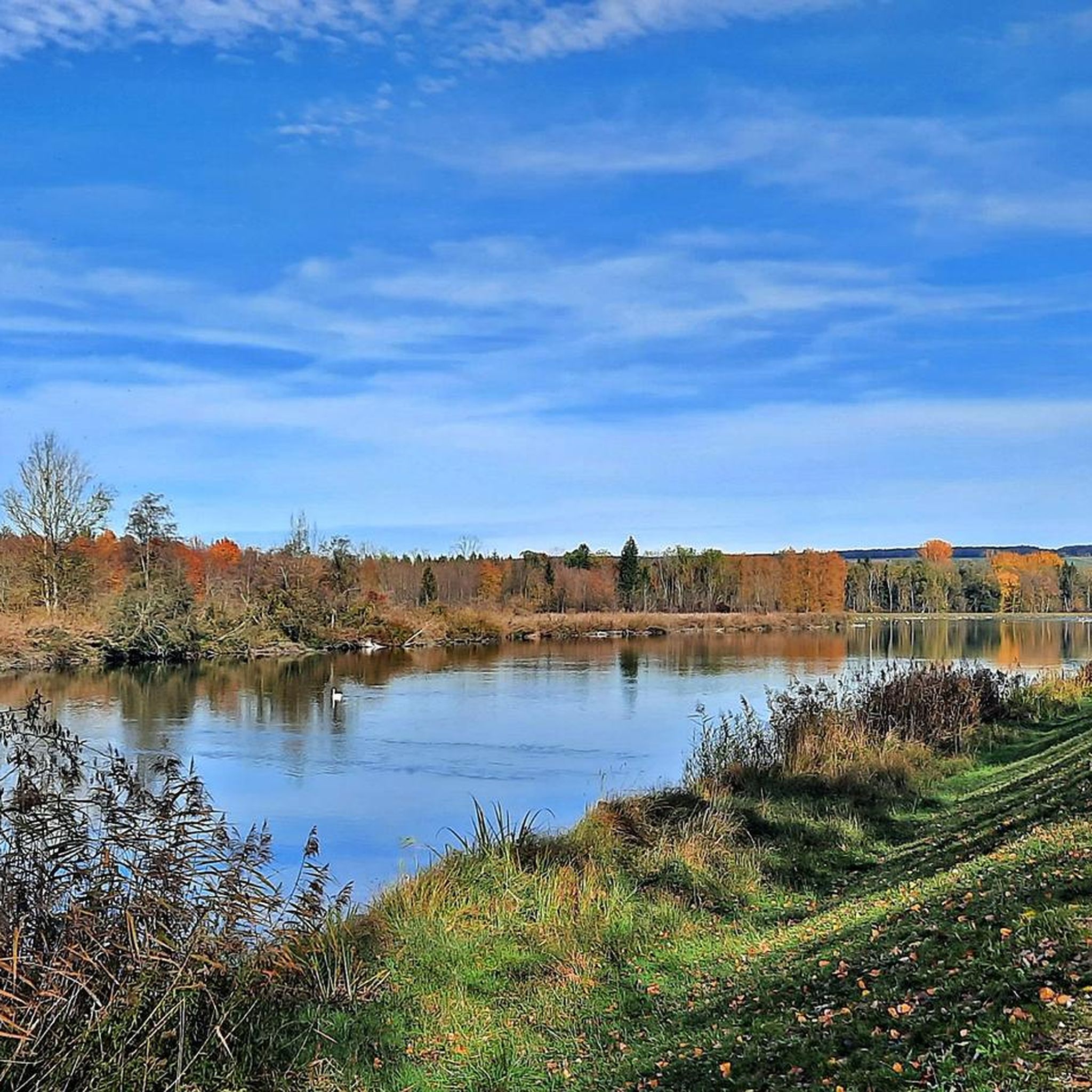
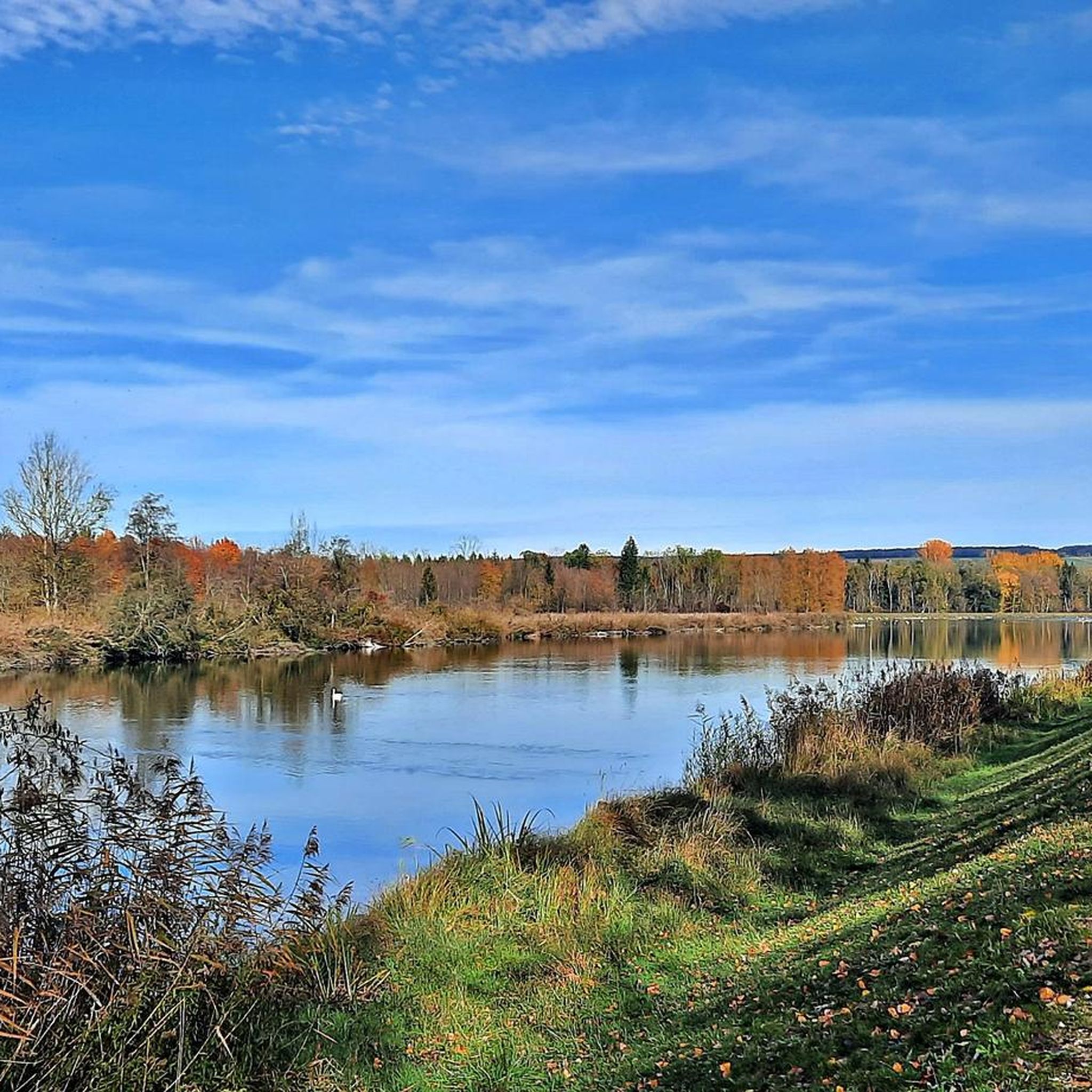
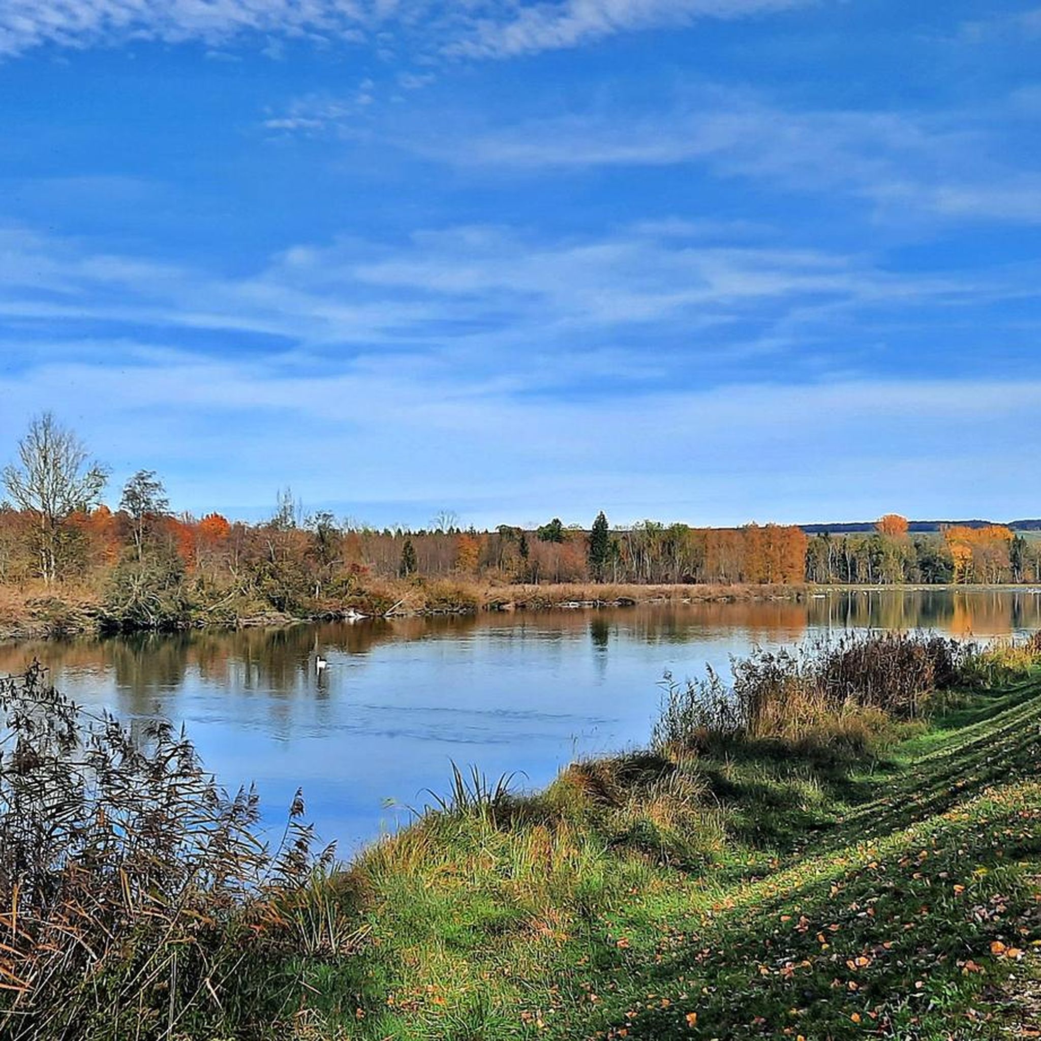
Here, two significant rivers merge to form an impressive natural and landscape image, which impressively showcases the city's special geographical location. The confluence can be observed well from several points and offers an interesting insight into the region's river landscape.
2
0

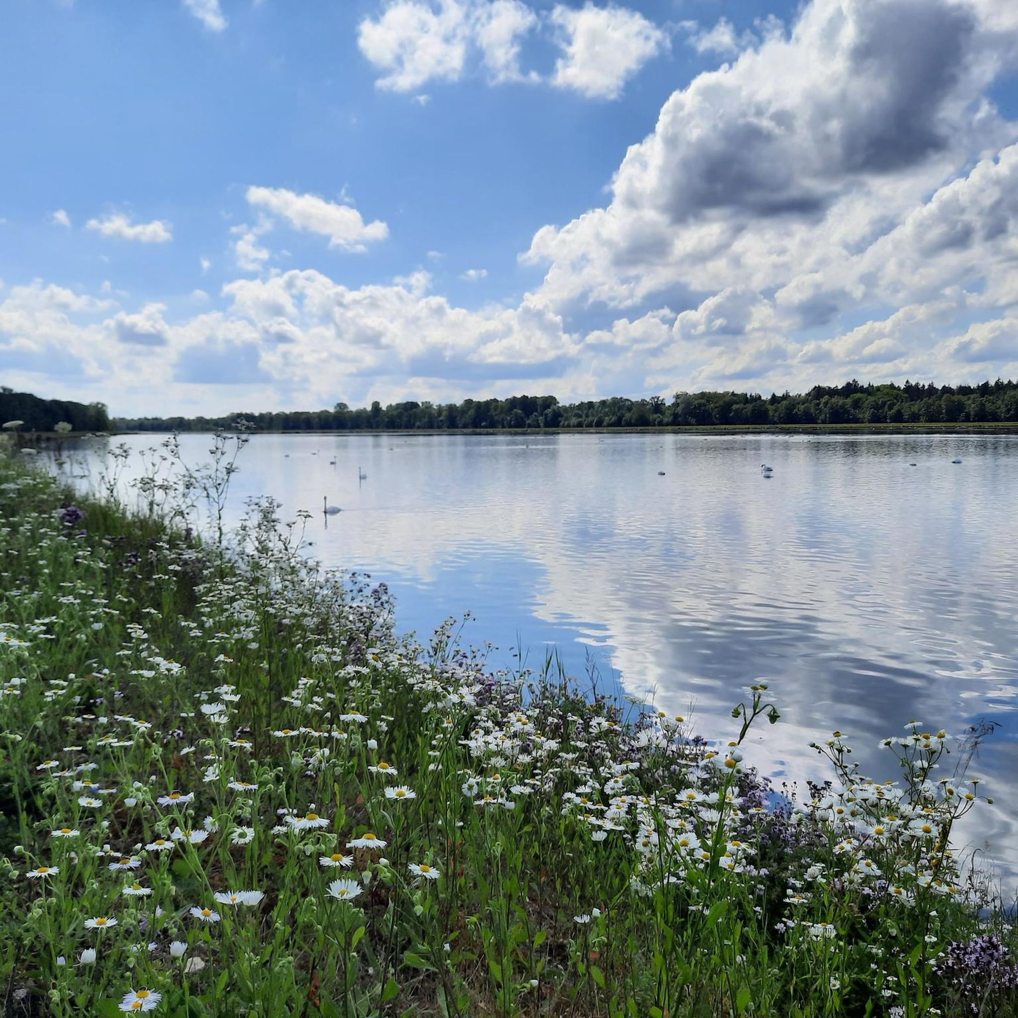
Danube Reservoir
0
0

The Lech is a right tributary of the Danube. The 256 km long river originates in Vorarlberg in the Hochtannberg region at the confluence of the Spullerbach and Formarinbach streams in the Tannläger valley. It flows through Tyrol and southern Bavaria, where it empties into the Danube. Shortly before the Austrian-German border, it joins the Vils river, forms the artificial Lechfall near Füssen, and crosses Swabia and Upper Bavaria on its way. The largest cities on the Lech are Landsberg and Augsburg; in this city, it receives its largest tributary, the Wertach. The river empties into the Danube near Marxheim. Source: Wikipedia
1
0

Quietly along the Danube in beautiful loops.
3
0
Impressive castle with a beautiful view of the Danube.
6
0
Finally on the Danube at the gates of Donauwörth.
6
1

From the bridge you can see how the Wörnitz flows into the Danube.
2
1
Frequently Asked Questions
How many mountain bike trails are available around Niederschönenfeld?
There are over 370 mountain bike trails around Niederschönenfeld, offering a wide range of options for different skill levels and preferences. The komoot community has explored these routes extensively, with over 2000 mountain bikers using komoot to discover the area.
What kind of terrain can I expect on mountain bike trails in Niederschönenfeld?
The terrain around Niederschönenfeld is quite varied, shaped by the unique Ries Crater landscape and picturesque river valleys. You'll find a mix of gentle hills, river plains, rolling hills, and forested areas. This allows for diverse experiences, from easy, paved sections along rivers like the Danube and Wörnitz to more challenging routes with significant elevation changes and unpaved paths.
Are there mountain bike trails suitable for beginners in Niederschönenfeld?
Yes, Niederschönenfeld offers a good selection of trails suitable for beginners. Out of the total routes, 114 are rated as easy. An excellent option for those starting out is the Leitheim Castle – View of the Danube Bridge loop from Rain, which is an easy 21.5-mile (34.6 km) trail with moderate elevation gain.
Are there any family-friendly mountain bike trails in the Niederschönenfeld area?
Many of the easier trails along the river valleys are suitable for families. These routes often feature flatter, paved sections. While specific family-designated trails aren't listed, routes with lower difficulty grades and less elevation, such as the Europaweiher Burgheim – Bertoldsheim Reservoir loop from Rain, which is an easy 17.1-mile (27.5 km) loop, can be great choices for a family outing.
What are some notable natural features or viewpoints I can see while mountain biking?
The region is rich in natural beauty. You can encounter the unique geological formations of the Ries Crater landscape. Specific natural highlights include the Confluence of the Wörnitz and Danube, the Lech estuary on the Danube near Marxheim, and the Mangold stone. These offer scenic spots to pause and enjoy the landscape.
Are there any historical or cultural attractions along the mountain bike routes?
Absolutely. The Donau-Ries region allows riders to explore charming towns and historical sites. You might pass by landmarks such as Leitheim Castle or the Rieder Gate in Donauwörth. The Fischweiher Thierhaupten – Thierhaupten Monastery loop from Rain, for instance, leads past cultural landmarks like Thierhaupten Monastery.
Are there any challenging mountain bike trails for experienced riders?
Yes, for experienced riders seeking a challenge, there are 11 difficult trails in the area, alongside 253 moderate routes. While specific names for difficult trails aren't highlighted here, the region's varied terrain, including rolling hills and forested areas, provides ample opportunities for more demanding rides with significant elevation changes. The highest point in the broader Landkreis Donau-Ries is Ohrengipfel, indicating areas with substantial climbs.
What do other mountain bikers say about the trails in Niederschönenfeld?
The mountain bike trails around Niederschönenfeld are highly regarded by the komoot community, holding an average rating of 4.5 out of 5 stars from over 550 reviews. Riders often praise the varied terrain, the scenic river valleys, and the unique geological backdrop of the Ries Crater, which makes for a diverse and engaging riding experience.
Are there mountain bike routes that offer loop options?
Yes, many of the mountain bike trails around Niederschönenfeld are designed as loops, allowing you to start and end at the same point. Examples include the Leitheim Castle – View of the Danube Bridge loop from Rain and the Trail on the Alte Burg hiking path – Alte Burg Neuburg Ruins loop from Rain, which is a moderate 30.1-mile (48.5 km) route.
What is the best time of year for mountain biking in Niederschönenfeld?
The Donau-Ries region generally offers good conditions for mountain biking from spring through autumn. The varied terrain means that while river paths might be accessible year-round, forested and higher elevation trails are best enjoyed when the weather is dry and temperatures are moderate. Winter riding might be possible on some routes, but conditions can be challenging due to snow or ice.
Are there places to eat or drink near the mountain bike trails?
While specific cafes or pubs directly on the trails are not detailed, the Donau-Ries region features charming towns like Monheim or Wemding. These towns, often accessible from the cycling network, provide opportunities to find local eateries and refreshment stops. The Rain am Lech town center, for example, is a settlement you might pass through with options for food and drink.
Most popular routes around Niederschönenfeld
Most popular attractions around Niederschönenfeld

Get inspired with the komoot mobile app


Explore more
Browse the best MTB trails in other regions.
