The best walks and hikes around Niederschönenfeld
4.4
(220)
1,010
hikers
21
hikes
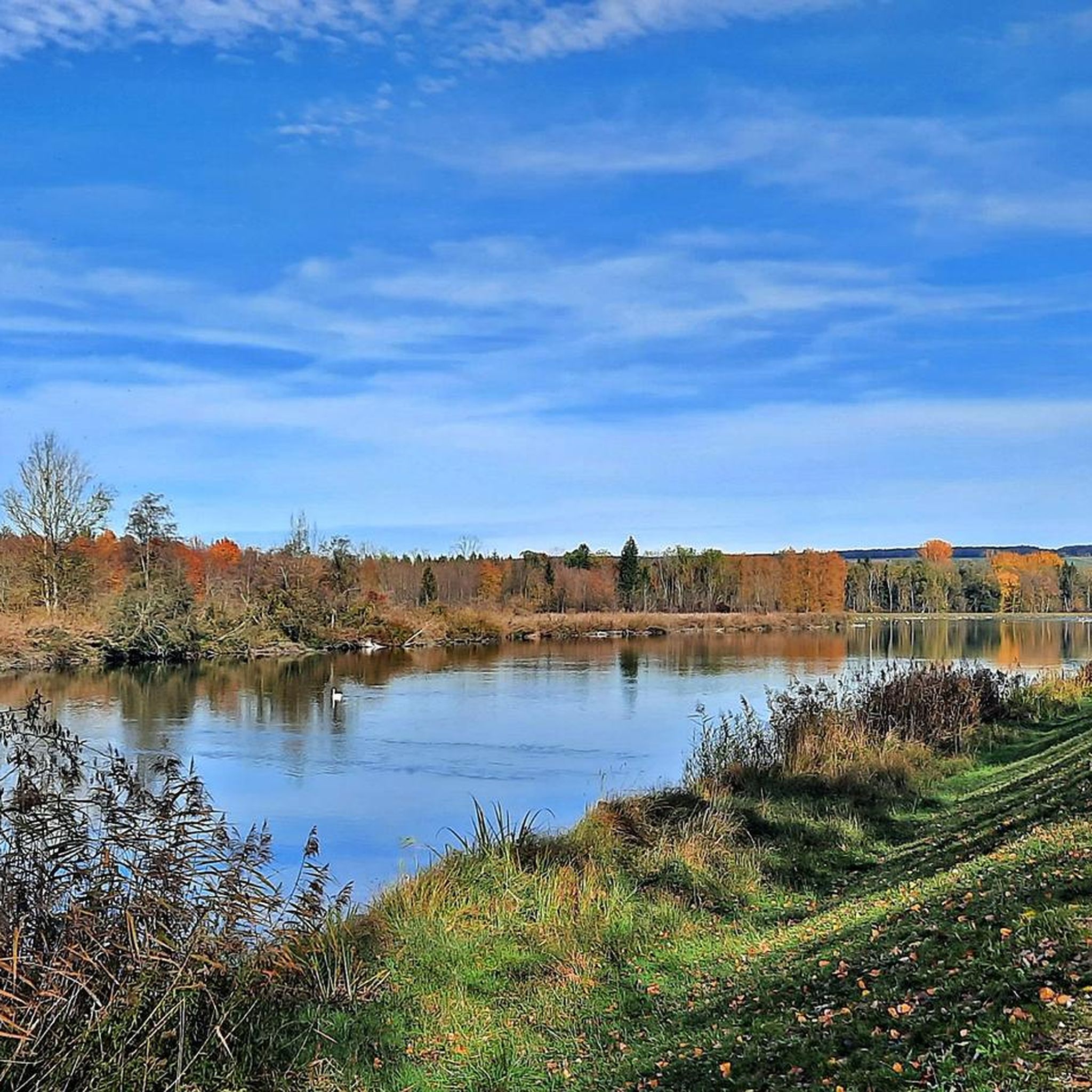
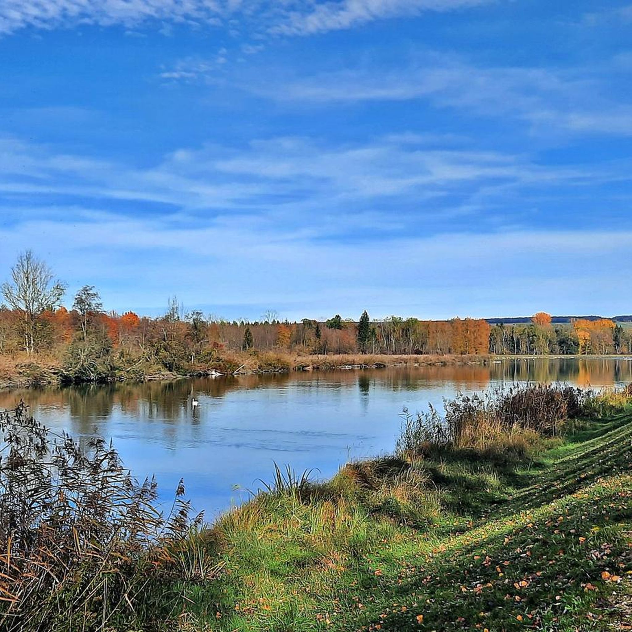
Hiking around Niederschönenfeld offers diverse natural landscapes, situated at the edge of the Swabian Jura and near the Danube River. The region is characterized by flat, scenic paths along riverbanks, rolling hills, and several lakes. This geographical position provides varied terrain, from gentle riverside trails to routes with slight elevation changes. The confluence of the Lech and Danube rivers is a notable natural feature, contributing to the area's appeal for outdoor activities.
Best hiking trails around Niederschönenfeld
- The most popular…
Last updated: October 7, 2026
4.7
(27)
88
hikers
Moderate hike. Good fitness required. Easily-accessible paths. Suitable for all skill levels.
4.7
(9)
26
hikers
Moderate hike. Good fitness required. Easily-accessible paths. Suitable for all skill levels.

3.5
(2)
4
hikers
Easy hike. Great for any fitness level. Easily-accessible paths. Suitable for all skill levels.
4.3
(3)
8
hikers
7.88km
01:59
10m
10m
Easy hike. Great for any fitness level. Easily-accessible paths. Suitable for all skill levels.
4
hikers
5.97km
01:31
10m
10m
Easy hike. Great for any fitness level. Easily-accessible paths. Suitable for all skill levels.
Get access to more routes and recommendations from other explorers.
Already have an account?
Our route recommendations are based on thousands of hikes, rides, and runs completed by other people on komoot.
Start today with a free account
Your next adventure awaits.
Tips from the Community

Swimming lake near Niederschönenfeld highly recommended and clean
0
0

Will the spring snowflakes still be blooming at Easter 2026?
0
0

The paths along the Danube and Lech are wonderful for cycling
0
0

Don't forget the sunshine
0
0

VERY NICE PLACE, easy to reach
0
0

Very nice city center - although not much else to offer.
3
0

Caution: the trail around the lake is often misused as a dog toilet!
0
0
Frequently Asked Questions
What kind of terrain can I expect on hikes around Niederschönenfeld?
Niederschönenfeld offers a diverse landscape, situated on the Danube River and at the edge of the Swabian Alb. You'll find a mix of flat, scenic paths along riverbanks, gentle hills, and several lakes. This variety ensures hiking experiences ranging from easy strolls to routes with moderate changes in elevation, providing picturesque riverine scenery and tranquil settings.
Are there easy hiking trails suitable for beginners in Niederschönenfeld?
Yes, Niederschönenfeld has plenty of easy hiking options. Out of approximately 20 trails, 11 are rated as easy. A great option for a relaxed walk is the Idyllic Swimming Lake – Streams and lakes loop from Niederschönenfeld, which is 5.6 km long and typically takes about 1 hour and 24 minutes to complete.
What natural features can I see while hiking in Niederschönenfeld?
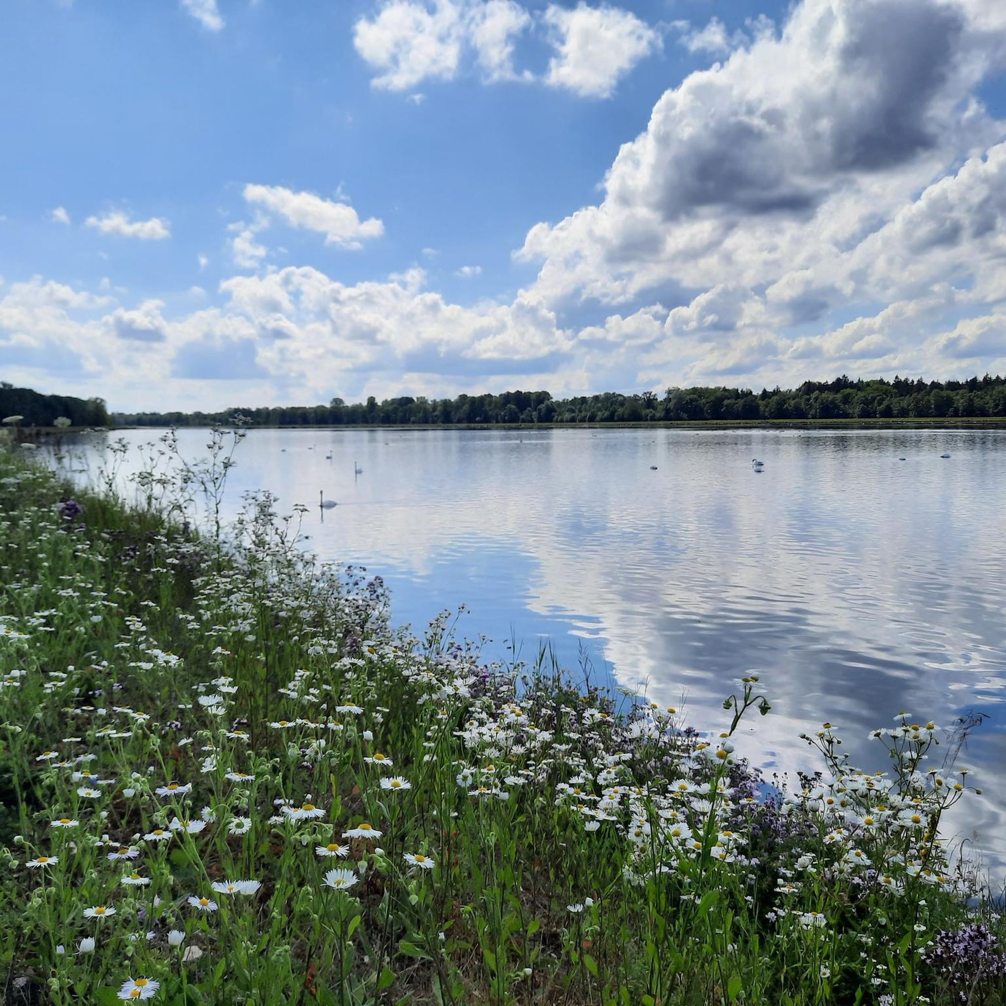
The region is rich in natural beauty, primarily defined by its riverine landscapes. You can explore the confluence of the Lech and Danube rivers, enjoy views of various lakes, and discover streams. Notable highlights include the Lech Reservoir Near Waltershofen and Ellgau and the Bertoldsheim Reservoir (Danube Reservoir). There are also several caves in the wider area, such as the Mauerner Caves (Weinberg Caves).
Are there circular hiking routes available in Niederschönenfeld?
Yes, many of the trails in Niederschönenfeld are designed as circular routes, allowing you to start and end at the same point. Popular circular options include the Pink Crane at Rain Reservoir – Lech Lakes loop from Niederschönenfeld and the Pink Crane at Rain Reservoir – Lech run-of-river hydroelectric power plant loop from Niederschönenfeld.
What is the best time of year to go hiking in Niederschönenfeld?
Niederschönenfeld is enjoyable for hiking throughout much of the year. Spring and autumn offer pleasant temperatures and beautiful scenery, with blooming flora or vibrant fall colors. Summer is also popular, especially for routes near lakes and rivers, though it can be warmer. Winter hikes are possible, particularly on the flatter riverbank paths, but always check local conditions.
Are there family-friendly hiking options in Niederschönenfeld?
Absolutely. The region's mix of flat paths along riverbanks and gentle terrain makes it suitable for families. Many easy routes, like the Idyllic Swimming Lake – Streams and lakes loop from Niederschönenfeld, are perfect for outings with children, offering manageable distances and interesting natural surroundings.
Can I bring my dog on the hiking trails in Niederschönenfeld?
Most hiking trails in Niederschönenfeld are dog-friendly, allowing you to enjoy the natural surroundings with your canine companion. However, it's always recommended to keep dogs on a leash, especially in nature protection areas or near livestock, and to respect local regulations.
How long do hikes typically take in Niederschönenfeld?
Hike durations vary depending on the route and your pace. Shorter, easy trails like the Idyllic Swimming Lake – Streams and lakes loop from Niederschönenfeld can be completed in about 1 hour and 24 minutes. Moderate routes, such as the Pink Crane at Rain Reservoir – Lech Lakes loop from Niederschönenfeld, typically take around 2 hours and 17 minutes.
What do other hikers enjoy most about the trails in Niederschönenfeld?
The trails in Niederschönenfeld are highly regarded by the komoot community, with an average rating of 4.5 stars from nearly 200 reviews. Hikers often praise the picturesque riverine scenery, the tranquil atmosphere of the lakes, and the well-maintained paths that cater to various fitness levels.
Is Niederschönenfeld accessible by public transport for hikers?
While Niederschönenfeld is a smaller village, public transport options exist to reach the area. For detailed information on bus and train connections to Niederschönenfeld and nearby starting points for hikes, it's best to consult local public transport schedules.
Where can I park my car when hiking in Niederschönenfeld?
Parking is generally available in and around Niederschönenfeld, especially near popular trailheads or village centers. Look for designated parking areas, which are often signposted. Specific parking information for individual routes can sometimes be found in the tour descriptions on komoot.
Most popular routes around Niederschönenfeld
Most popular attractions around Niederschönenfeld

Get inspired with the komoot mobile app


Explore more
Browse the best Hikes in other regions.
