The best walks and hikes around Nieder-Olm
4.6
(98)
601
hikers
71
hikes
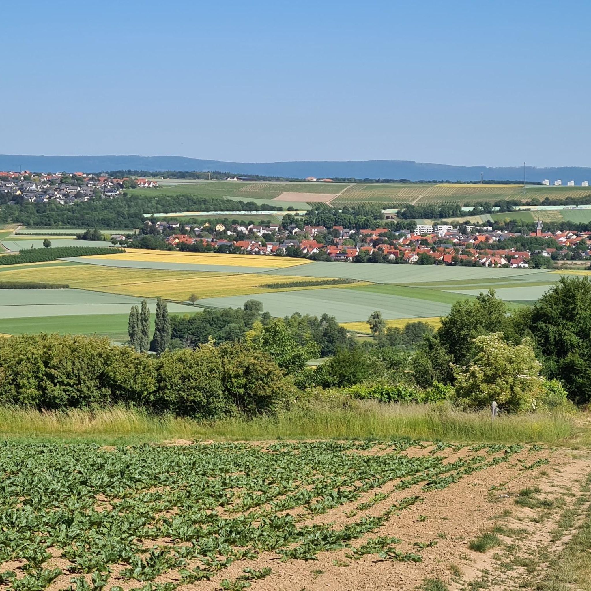
Hiking around Nieder-Olm offers diverse landscapes within the Rhenish-Hessian Hills, characterized by rolling vineyards and fruit orchards. The region is situated on the east bank of the Selz river, with trails often following the Selz Valley. Predominant loess soils support the rich agricultural landscape, and a small forest, "Im Loh," provides additional natural environments.
Best hiking trails around Nieder-Olm
- The most popular hiking route is Lohwäldchen Nieder-Olm – Wingertsheisje Rhenish Hesse loop from Nieder-Olm, an 8.2 miles (13.2 km)…
Last updated: August 23, 2026
4.6
(18)
70
hikers
Moderate hike. Good fitness required. Easily-accessible paths. Suitable for all skill levels.
4.0
(2)
14
hikers
13.2km
03:30
130m
130m
Moderate hike. Good fitness required. Easily-accessible paths. Suitable for all skill levels.

Sign up for free
4.8
(4)
36
hikers
Easy hike. Great for any fitness level. Easily-accessible paths. Suitable for all skill levels.
4.5
(4)
33
hikers
Easy hike. Great for any fitness level. Easily-accessible paths. Suitable for all skill levels.
4.5
(2)
24
hikers
11.1km
02:51
50m
50m
Moderate hike. Good fitness required. Easily-accessible paths. Suitable for all skill levels.
Get access to more routes and recommendations from other explorers.
Sign up for free
Already have an account?
Our route recommendations are based on thousands of hikes, rides, and runs completed by other people on komoot.
Start today with a free account
Your next adventure awaits.
Login or Signup
Tips from the Community

Shortly before reaching Nieder-Olm, a wayside shrine from 1906 with the patron saint of shepherds, farmers, peasants, and cattle greets you. He is also the patron saint of a good harvest, today also of nature and environmental protection.
1
0
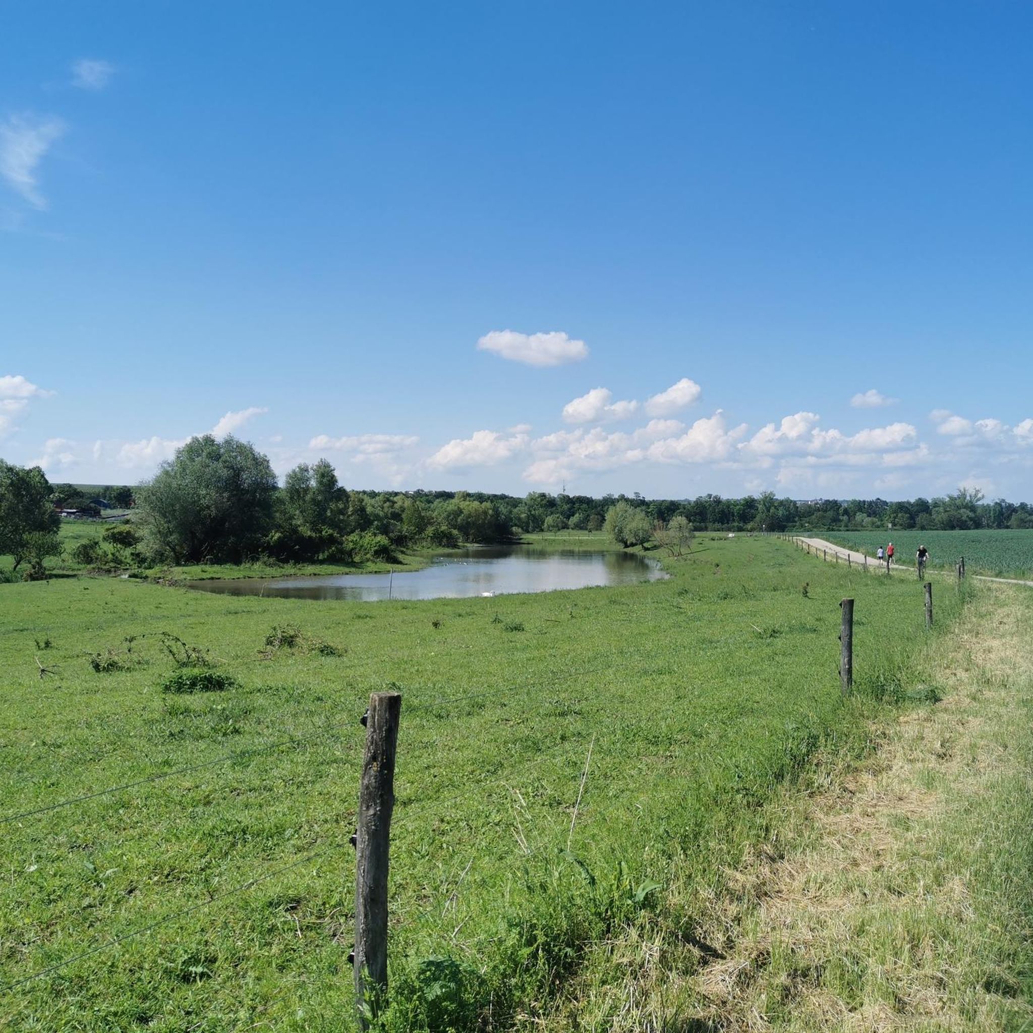
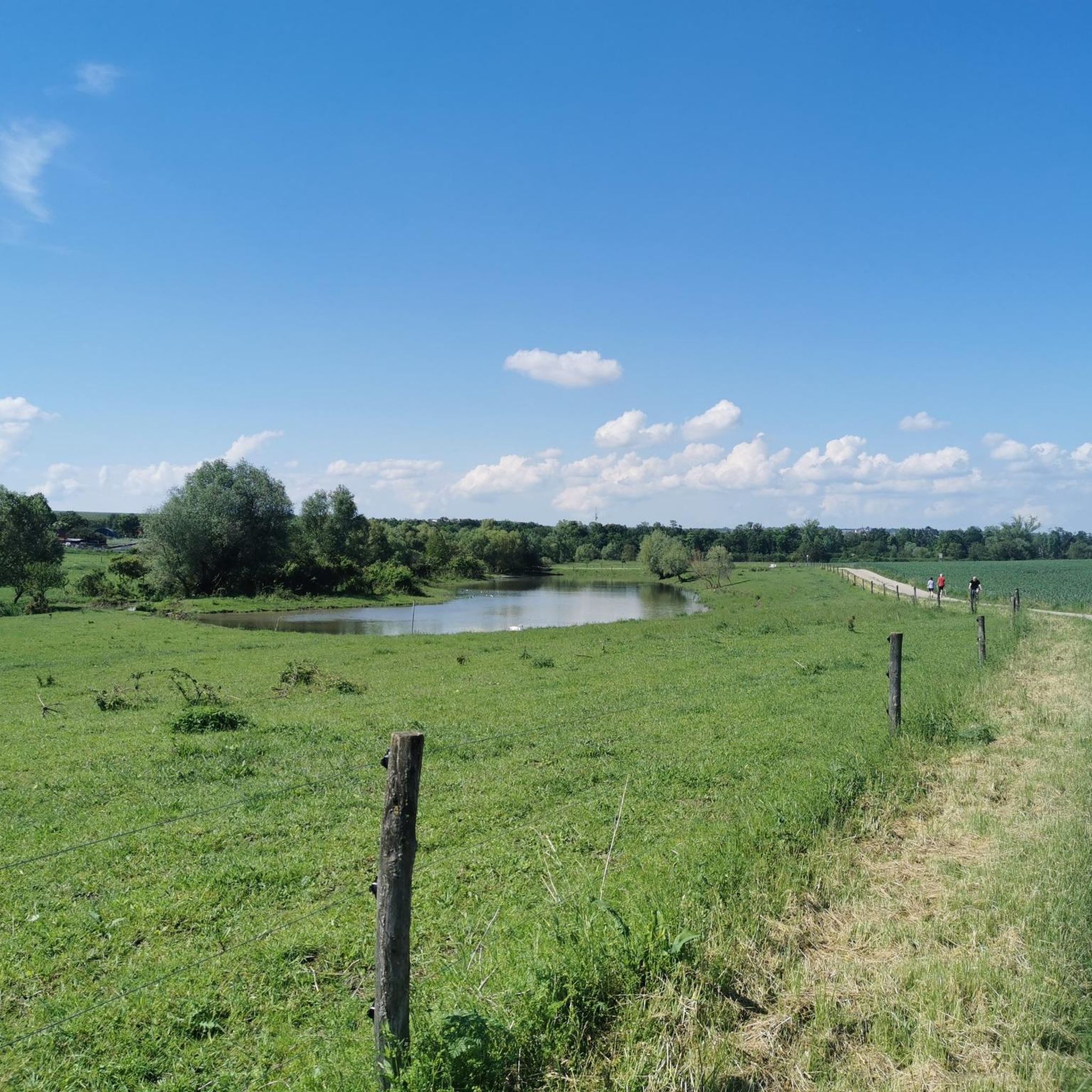
Wonderful animals with impressive horns. Where can one observe these animals up close. Unfortunately, there is hardly any water left in the pond, but it is still enough for the buffalo.
0
0
Relaxation for humans and animals
0
0
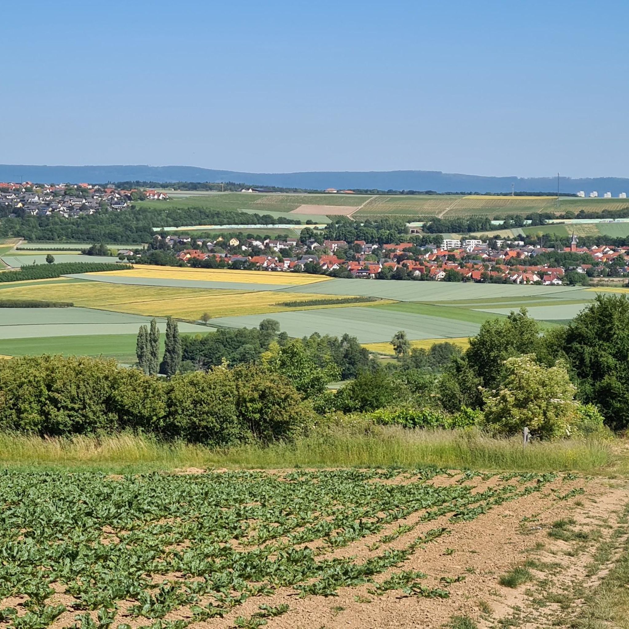
Hiwweltouren, the ups and downs in the vineyards with many beautiful resting places and wonderful views
1
0

Beautiful spot with a great view of Ober Olm and shady thanks to a mega cherry tree!
0
0
In front of the residential building of the sculptor couple Liesel and Johannes Metten on Pariser Straße, "Die Liegende" has found a lovely spot. Quite small, but placed on the garden wall at a nice height. Further bronze works can also be seen, such as the front door, the doorbell pull, and in the front garden.
1
0

good way to start the Hiwweltour and park the car
0
0

Kilometer-wide view. Very beautiful
1
0
Frequently Asked Questions
How many hiking trails are available in Nieder-Olm?
There are over 60 hiking routes available around Nieder-Olm, catering to various preferences and fitness levels. These include easy strolls through vineyards and more demanding hikes across the Rhenish-Hessian Hills.
What kind of landscape can I expect when hiking around Nieder-Olm?
Hiking around Nieder-Olm offers a diverse landscape characterized by rolling vineyards and fruit orchards within the Rhenish-Hessian Hills. Many trails follow the scenic Selz Valley, and you can also find a small forest, "Im Loh," providing a different natural environment.
What is the best time of year to go hiking in Nieder-Olm?
The best seasons for hiking in Nieder-Olm are spring, when fruit trees are in full bloom, and autumn, when the leaves transform into a golden and red spectacle. The mild climate generally makes it pleasant for outdoor activities.
Are there easy hiking trails suitable for beginners or families in Nieder-Olm?
Yes, Nieder-Olm offers many easy hiking trails. Over 40 routes are classified as easy, perfect for beginners or families. The Picnic area on the Selz – Bench by the Haybach loop from Nieder-Olm is an easy 2.4-mile (3.9 km) trail leading through meadows and fields along the Selz river. The Nature Reserve "Niedergasse" also features a well-signposted trail particularly suitable for families.
Are there any circular hiking routes in Nieder-Olm?
Many of the hiking routes in Nieder-Olm are circular, allowing you to start and end at the same point. Examples include the Lohwäldchen Nieder-Olm – Wingertsheisje Rhenish Hesse loop from Nieder-Olm and the Saubach Valley – Stadecker Warte loop from Nieder-Olm.
Can I find trails that pass through vineyards in Nieder-Olm?
Absolutely. The pervasive presence of vineyards is a defining characteristic of the Nieder-Olm area. Numerous hiking routes wind through these charming landscapes, offering breathtaking views and the chance to experience the region's strong viticultural heritage. The Wilhelm Holzamer Literature Trail, for instance, runs through the Nieder-Olmer Klosterberg vineyard.
Are there any scenic viewpoints along the hiking trails in Nieder-Olm?
Yes, several trails offer panoramic views. The Wingertsschaukel (Vineyard Swing) above Nieder-Olm invites hikers to rest and enjoy views over the Selz valley. Many routes also provide distant glimpses of the Frankfurt skyline and the Donnersberg mountain. You can also find viewpoints like the Zornheim Ruhkreuz.
Are the hiking trails in Nieder-Olm well-marked?
Yes, Nieder-Olm boasts a multitude of well-marked hiking trails and routes. This makes navigation straightforward, allowing you to focus on enjoying the varied landscapes and historic buildings you might encounter.
What do other hikers enjoy the most about hiking in Nieder-Olm?
The hiking routes in Nieder-Olm are highly rated by the komoot community, with an average score of 4.6 stars from over 70 reviews. Hikers often praise the diverse terrain, the beautiful vineyard landscapes, and the well-maintained paths that offer options for all ability levels.
Are there any natural attractions or reserves to explore near Nieder-Olm?
Yes, the "Im Loh" Wood in the northeast of the municipal area is a landscape conservation area offering a different natural environment. Additionally, the Nature Reserve "Niedergasse" is a protected area with a well-signposted hiking trail that meanders along idyllic meadows, fields, and through dense forests. You can also explore highlights like the Main estuary or the Seven ponds of the Lenneberg Forest.
Are there options for more challenging hikes in the Nieder-Olm area?
While many routes are easy to moderate, there are a few more demanding hikes for those seeking a challenge. The region offers 4 routes classified as difficult, providing more strenuous climbs and longer distances across the rolling Rhenish-Hessian Hills.
Can I reach hiking trails in Nieder-Olm using public transport?
Nieder-Olm is generally well-connected within the region. While specific trailheads might require a short walk from a bus or train station, public transport options are available to reach the town center, from where many routes are accessible. It's advisable to check local bus schedules for connections to specific starting points.
Most popular routes around Nieder-Olm
Most popular attractions around Nieder-Olm

Get inspired with the komoot mobile app


Explore more
Browse the best Hikes in other regions.
