The best walks and hikes around Niedernhausen
4.5
(2824)
13,778
hikers
248
hikes
Hiking around Niedernhausen offers diverse opportunities within the Taunus Mountains and the Rhine-Taunus Nature Park. The region is characterized by lush woodlands, rolling hills, and serene forests, covering a significant portion of the area. Meandering streams and the scenic Theißtal Lake are prominent natural features, providing tranquil waterside paths. From higher elevations, hikers can experience expansive views over the surrounding countryside.
Best hiking trails around Niedernhausen
- The most popular hiking route is Unterwegs auf dem Eichhornweg, a 6.1 miles…
Last updated: September 28, 2026
4.6
(80)
225
hikers
9.87km
02:47
200m
200m
Moderate hike. Good fitness required. Mostly accessible paths. Sure-footedness required.
4.5
(275)
772
hikers
14.2km
04:14
410m
410m
Moderate hike. Good fitness required. Mostly accessible paths. Sure-footedness required.

4.4
(67)
218
hikers
Moderate hike. Good fitness required. Mostly accessible paths. Sure-footedness required.
4.4
(56)
222
hikers
Moderate hike. Good fitness required. Easily-accessible paths. Suitable for all skill levels.
4.6
(54)
165
hikers
Easy hike. Great for any fitness level. Easily-accessible paths. Suitable for all skill levels.
Get access to more routes and recommendations from other explorers.
Already have an account?
Our route recommendations are based on thousands of hikes, rides, and runs completed by other people on komoot.
Start today with a free account
Your next adventure awaits.
Popular around Niedernhausen
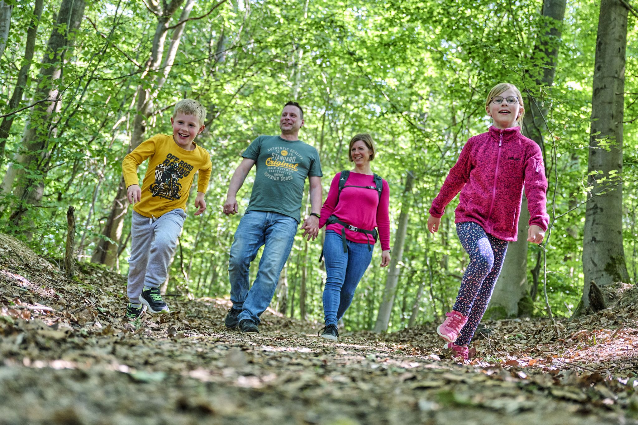
The journey is the adventure – hikes in Germany’s Taunus Mountains

Varied winter hikes in Germany’s Rhine-Main region
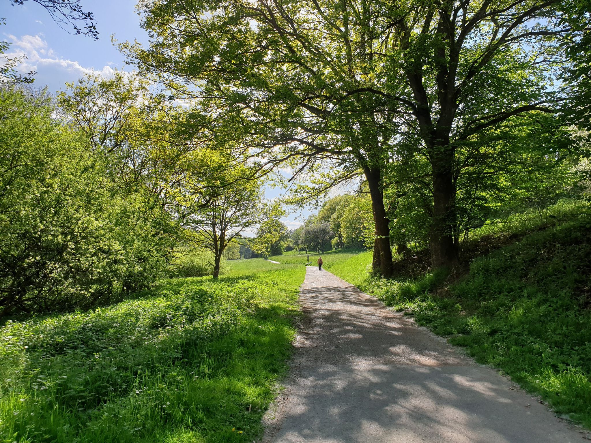
Culture, nature and good food in Hessen – gourmet Tours in the RMV region
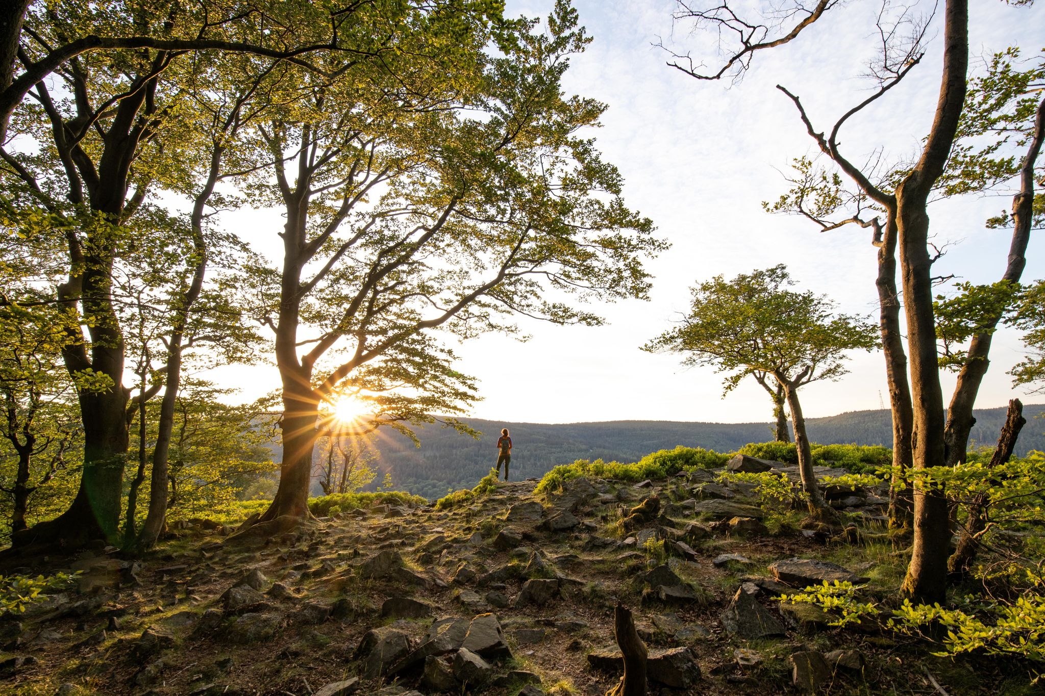
Deep valleys and airy heights – the most beautiful hikes in the Taunus in Germany
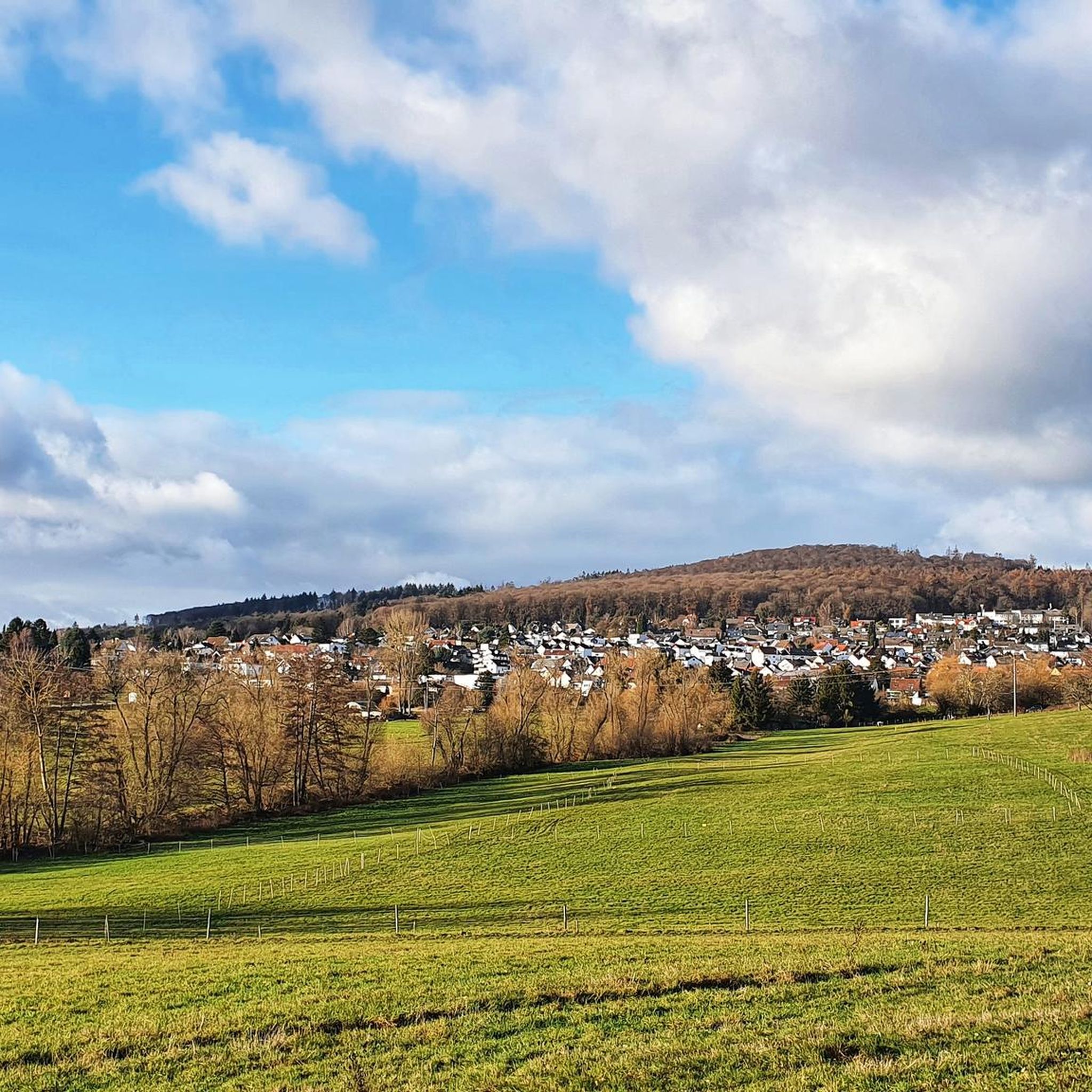
Cycling around Niedernhausen
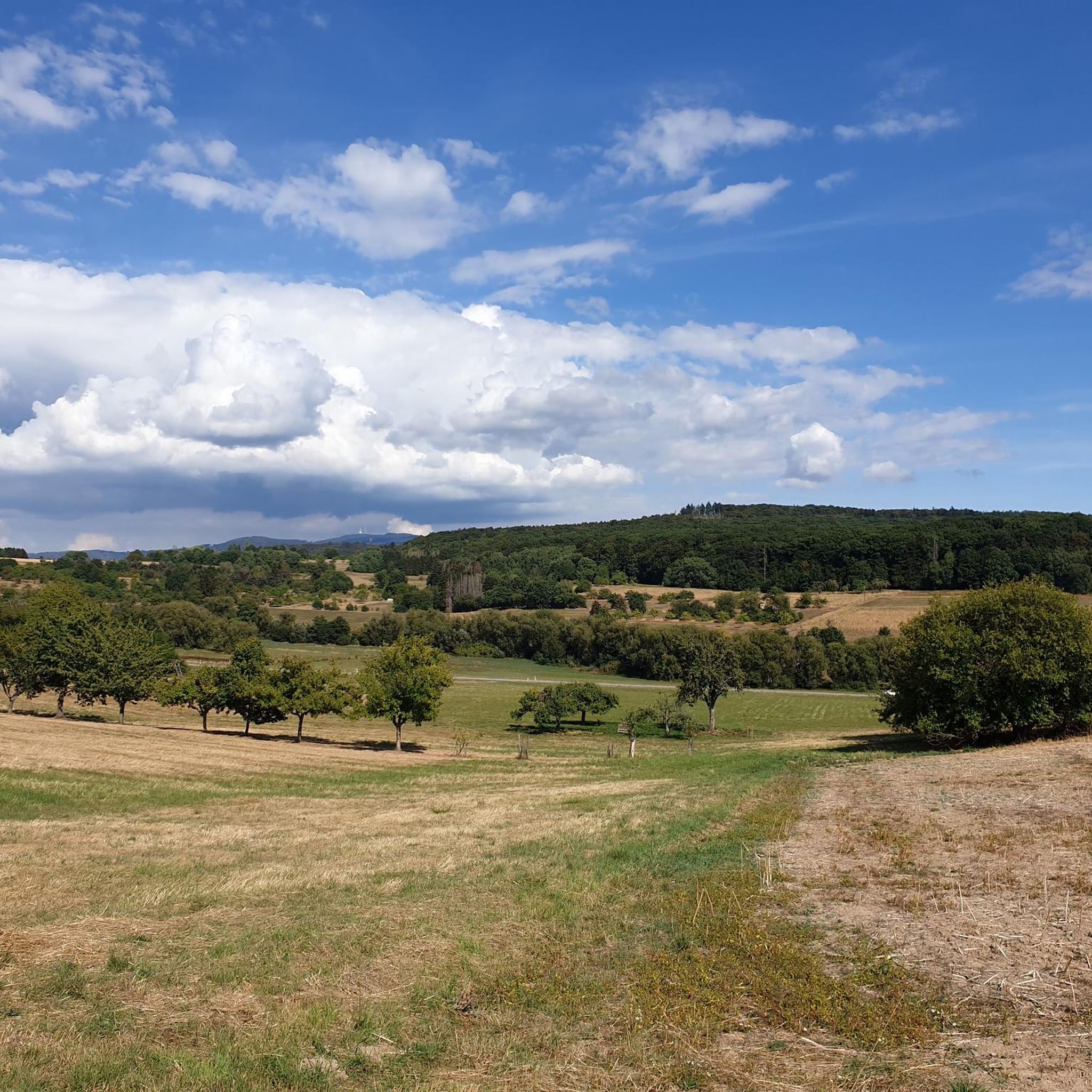
Running Trails around Niedernhausen
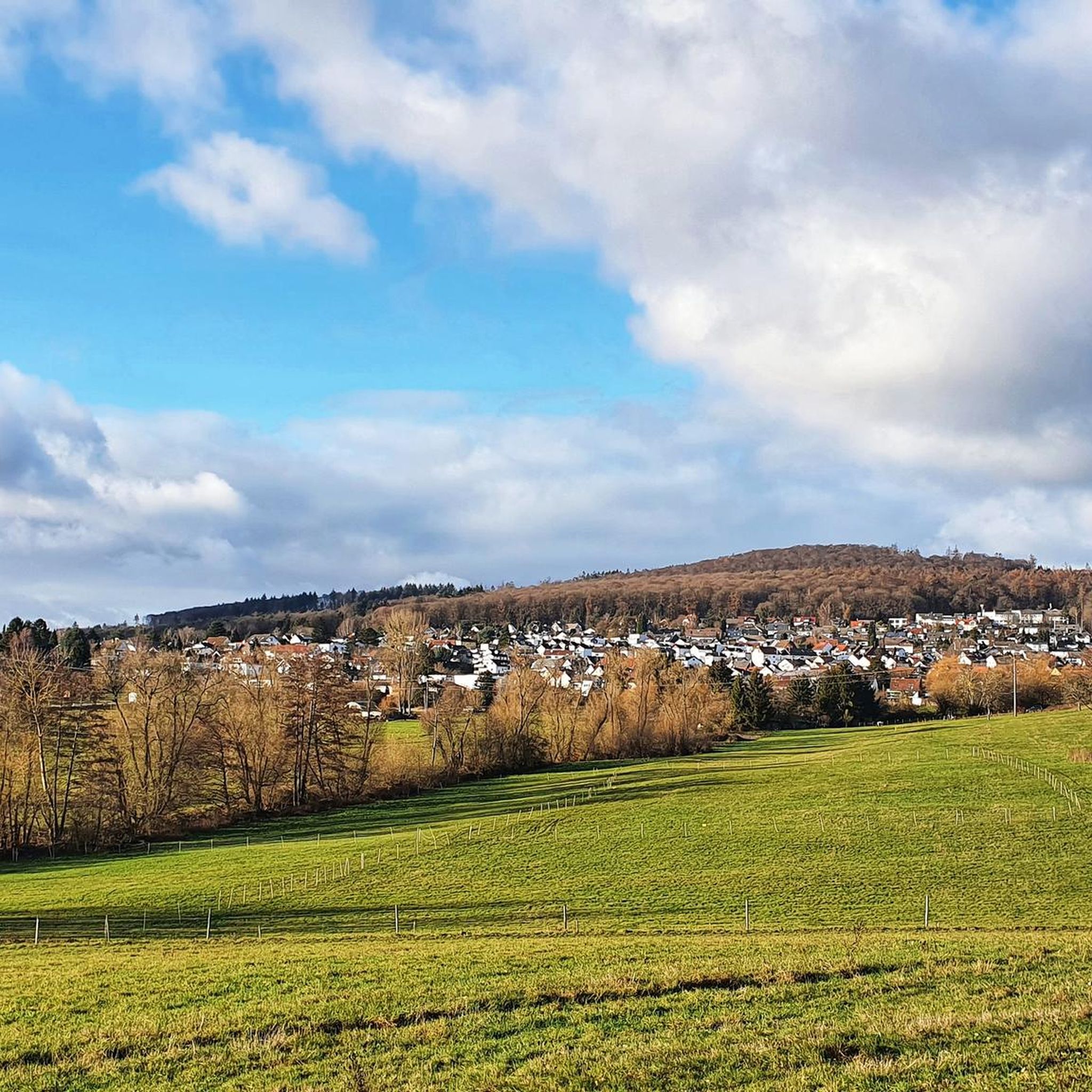
MTB Trails around Niedernhausen
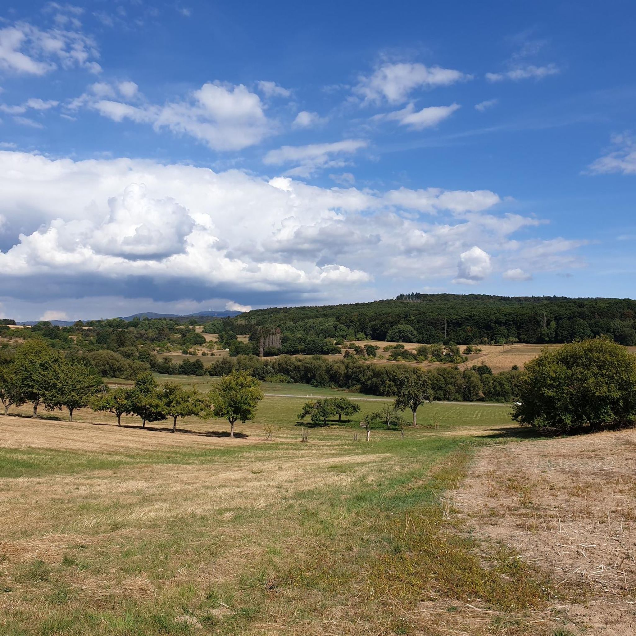
Road Cycling Routes around Niedernhausen
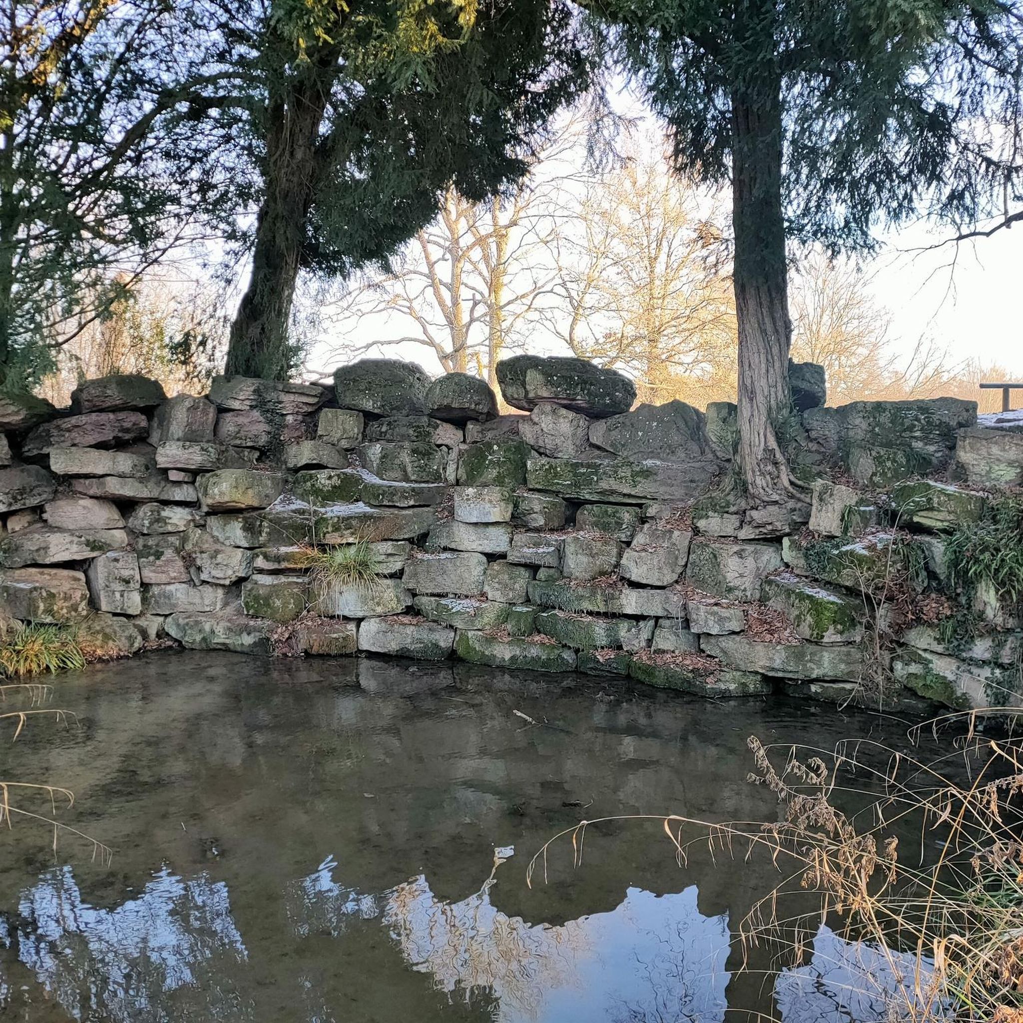
Gravel biking around Niedernhausen
Mountain Hikes around Niedernhausen
Other adventures around Niedernhausen


Tips from the Community

This insect wall is not (anymore) here - the highlight was either created in the wrong place or the insect wall has been moved, it is now (the same cracks in the tree trunk, so obviously the same one) here: https://www.komoot.com/de-de/highlight/3007097
0
0


The source of the Tisza Stream is somewhat off the marked hiking trails, but it's still worth a short detour. The spring water flows from a (somewhat older) water pipe. It's drinkable, wholesome, and refreshingly cool, which is especially pleasant on summer days.
0
0

Nice for a larger group to take a break
0
0

Beautiful view of Lenzhahn and Idstein beyond the hills.
0
0

Great views if the weather is right
0
0

bench with a great view
0
0

There is a public bookcase at the rest area. Maybe you'll even find something to read. :-)
0
0
Frequently Asked Questions
How many hiking trails are available around Niedernhausen?
Niedernhausen offers a wide variety of hiking opportunities, with over 200 routes available. These range from easy strolls to more challenging excursions, catering to all skill levels.
What kind of landscapes can I expect to see while hiking in Niedernhausen?
The region around Niedernhausen, nestled in the Taunus Mountains and Rhine-Taunus Nature Park, features diverse and scenic landscapes. You'll encounter lush woodlands, rolling hills, and serene forests. Meandering streams and the picturesque Theißtal Lake are prominent natural features. From higher elevations, you can enjoy expansive views, some even stretching over the Rhine Valley and the Frankfurt skyline.
What is the best time of year to go hiking in Niedernhausen?
The best seasons for hiking in Niedernhausen are spring and autumn. During these times, moderate temperatures and vibrant foliage create ideal conditions for exploring the trails. While hiking is possible year-round, these seasons offer the most pleasant experience.
Are there family-friendly hiking options in Niedernhausen?
Yes, Niedernhausen offers various routes suitable for families. Many trails are designed for leisurely strolls through the woodlands and around natural features like the Theißtal Lake, providing enjoyable experiences for all ages. Look for routes with lower difficulty grades for easier walks.
Are there circular hiking routes available?
Many of the hiking routes around Niedernhausen are designed as circular paths, allowing you to start and end at the same point. For example, the Theiss Valley – Theißtal Lake loop from Niedernhausen (Taunus) and the Eselkopf Summit – View of Atzelberg loop from Oberjosbach are popular circular options.
Can I find hikes with good viewpoints in the area?
Absolutely. The Taunus Mountains offer several rewarding viewpoints. Trails often lead to higher elevations where you can enjoy stunning vistas. The Eselkopf Summit – View of Atzelberg loop from Oberjosbach is known for its views, and the Theißtal Lake – Kellerskopf Observation Tower loop from Niedernhausen (Taunus) includes the Kellerskopf Observation Tower, providing expansive panoramas.
Are there any historical sites or landmarks to discover along the trails?
Yes, some trails in Niedernhausen lead to historical landmarks. You might encounter ruins, old fortifications, or even a replica of a Roman watchtower, enriching your hiking experience with cultural context. For example, the Small Ring Wall at Altkönig is a notable historical site in the broader Taunus area.
What do other hikers enjoy most about the trails in Niedernhausen?
The hiking routes in Niedernhausen are highly rated by the komoot community, with an average score of 4.5 stars from over 2,000 reviews. Hikers often praise the well-marked paths, the tranquility of the woodlands, and the diverse scenery, especially around the Theißtal Lake and the rewarding viewpoints.
Are there any challenging hikes for experienced hikers?
While many routes are moderate, Niedernhausen does offer some more challenging trails for experienced hikers, with 8 routes classified as difficult. These routes often involve greater elevation changes and longer distances, providing a more strenuous workout within the Taunus Mountains.
Are dogs allowed on the hiking trails?
Generally, dogs are welcome on most hiking trails in the Niedernhausen area. It's always recommended to keep your dog on a leash, especially in nature reserves or areas with wildlife, and to be mindful of other hikers and local regulations.
Are there hikes that feature water bodies like lakes or gorges?
Yes, the Theißtal Lake is a central feature for many hikes, offering tranquil waterside paths. Routes like the Theiss Valley – Theißtal Lake loop from Niedernhausen (Taunus) specifically incorporate this scenic lake. Additionally, the region around Niedernhausen features several beautiful gorges, such as the Woog Valley and Silberbach Valley, which can be explored.
Is it possible to reach hiking trails using public transport?
Niedernhausen has good public transport connections, making it possible to reach various starting points for hikes without a car. Local buses and regional trains can take you to different parts of the town and surrounding villages, from where many trails are accessible.
Where can I find parking for hiking trails in Niedernhausen?
Parking is generally available at common trailheads and in the vicinity of popular hiking areas in Niedernhausen and its surrounding villages. Look for designated parking lots near nature parks, lakes, or village centers, which often serve as starting points for various routes.
Most popular routes around Niedernhausen
Most popular attractions around Niedernhausen

Get inspired with the komoot mobile app


Explore more
Browse the best Hikes in other regions.
