The best road cycling routes around Niederaula
4.6
(327)
4,355
riders
17
rides
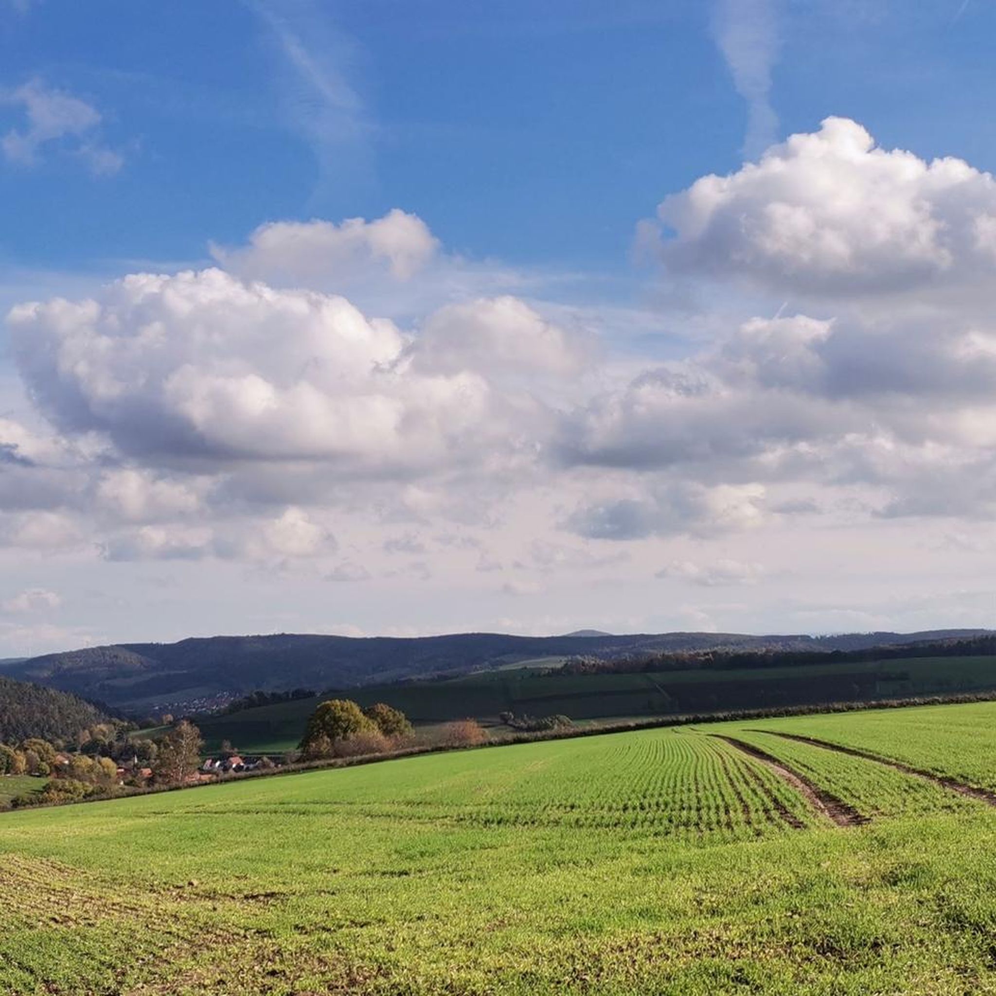
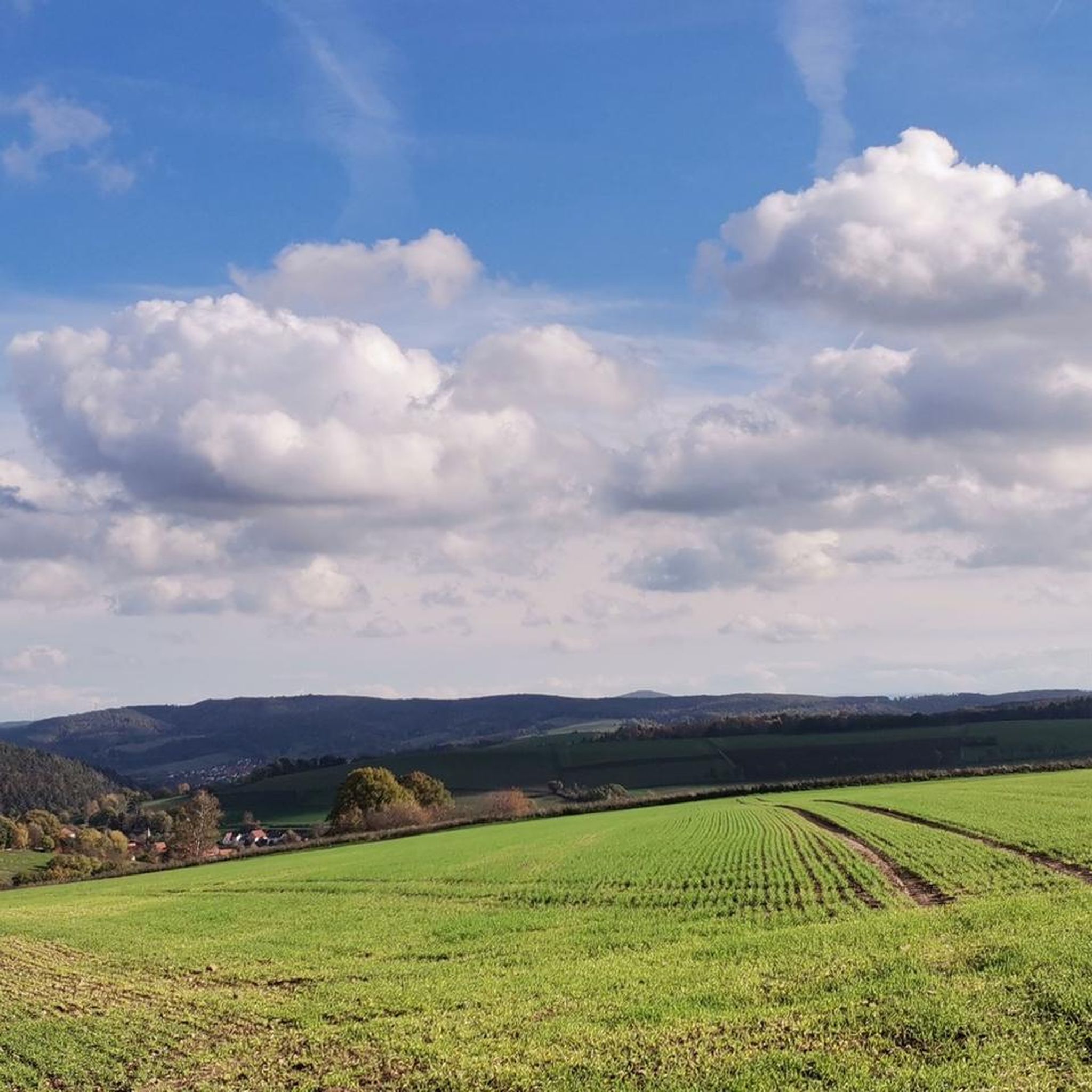
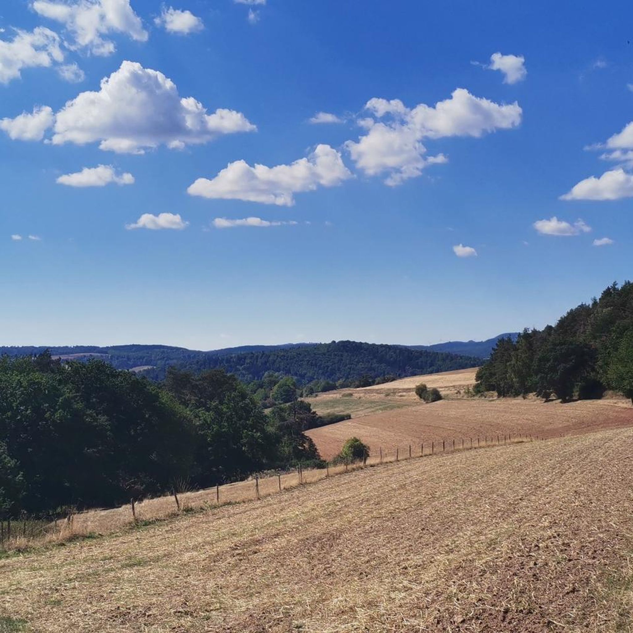
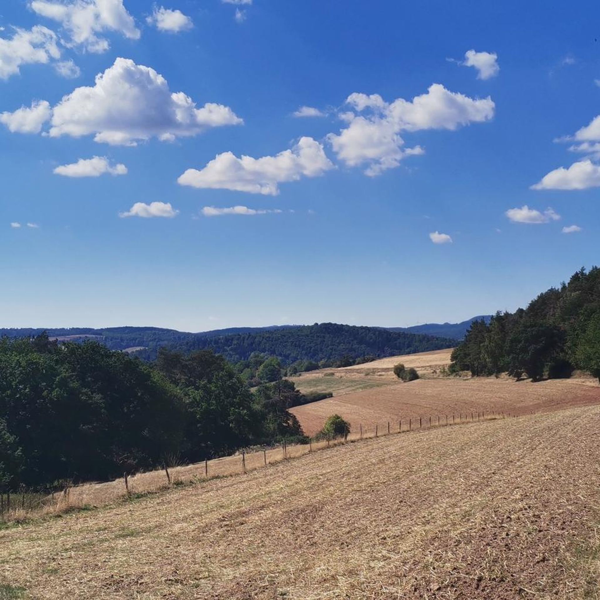
Road cycling around Niederaula offers diverse terrain, situated on the Fulda River between the foothills of the Rhön, Vogelsberg, and Knüllgebirge low mountain ranges. The region features a mix of flat river valleys, where the Aula, Jossa, and Hattenbach rivers converge with the Fulda, and undulating hill country. This geographical composition provides varied road cycling experiences, from riverside paths to more challenging ascents into the surrounding hills. The Aulatal Valley is a notable feature, contributing to the scenic beauty and varied elevation profiles.
Best road cycling routes around Niederaula
- The most popular road cycling route is Eichhof Castle – Cycle Path to Bad Hersfeld loop from Niederjossa, a 35.0 miles (56.3 km) trail that takes 2 hours 16 minutes to complete. This route offers a moderate challenge through the local landscape.
- Another top favourite among local road cyclists is Backhaus Wahlshausen – View of Frielingen loop from Bruchwiesen bei Mengshausen, a moderate 24.7 miles (39.7 km) path. This route features significant elevation gain, traversing varied terrain with views of the surrounding area.
- Local road cyclists also love the Oberaula Railway Station – Backhaus Wahlshausen loop from Niederaula, a 18.5 miles (29.8 km) trail leading through the Aulatal Valley, often completed in about 1 hour 16 minutes.
- Road cycling around Niederaula is defined by river valleys, undulating hills, and the foothills of low mountain ranges. The network offers options for different ability levels, from easy riverside rides to more demanding routes with notable ascents.
- The routes in Niederaula are highly rated by the komoot community with an average score of 4.7 stars from more than 160 reviews. More than 2000 road cyclists have used komoot to explore Niederaula's varied terrain.
Last updated: May 24, 2026
5.0
(8)
123
riders
56.3km
02:17
230m
230m
Moderate road ride. Good fitness required. Mostly well-paved surfaces and easy to ride.
5.0
(8)
81
riders
Easy road ride. Great for any fitness level. Mostly well-paved surfaces and easy to ride.

Sign up for free
5.0
(2)
48
riders
41.2km
01:49
190m
190m
Moderate road ride. Great for any fitness level. Some segments of this route may be unpaved and difficult to ride.
5.0
(5)
30
riders
29.8km
01:16
240m
240m
Easy road ride. Great for any fitness level. Mostly well-paved surfaces and easy to ride.
3.5
(2)
20
riders
Moderate road ride. Good fitness required. Mostly well-paved surfaces and easy to ride.
Get access to more routes and recommendations from other explorers.
Sign up for free
Already have an account?
Our route recommendations are based on thousands of hikes, rides, and runs completed by other people on komoot.
Start today with a free account
Your next adventure awaits.
Login or Signup
Tips from the Community

Fantastic up and down in the forest
0
0

A stone bridge with an integrated sidewalk. You can pause and enjoy the view of the floodplain and riverbank landscape.
5
0

The bridge connects the Johannesberg district and the city center.
0
0

has something special, great location, very nicely situated in the park
0
0


The station building has now been successfully renovated and is ready for new tenants to move in.
2
0


Oberaula train station (km 25.6) The Oberaula - Treysa line was once operated as a heritage railway by the Schwalm-Knüll Railway Friends. Unfortunately, due to the poor condition of the line, no more trips took place after 2000.
0
0
Frequently Asked Questions
How many road cycling routes are available around Niederaula?
There are over 15 road cycling routes around Niederaula, offering a variety of experiences for different skill levels. The komoot community has explored these routes over 2000 times, providing an average rating of 4.7 stars.
What kind of terrain can I expect when road cycling in Niederaula?
Niederaula is situated on the Fulda River, nestled between the foothills of the Rhön, Vogelsberg, and Knüllgebirge low mountain ranges. This means you'll find a diverse mix of flat river valleys, particularly along the Fulda, Aula, Jossa, and Hattenbach rivers, as well as undulating hill country with more challenging ascents into the surrounding hills.
Are there easy road cycling routes suitable for beginners in Niederaula?
Yes, Niederaula offers several easy road cycling routes. For instance, the Cycle Path to Bad Hersfeld – Cycle path in the Rhön Mountains loop from Hattenbach is an easy 30.5 km route with minimal elevation gain. Another accessible option is the Oberaula Railway Station – Backhaus Wahlshausen loop from Niederaula, which is 29.8 km and leads through the scenic Aulatal Valley.
Are there challenging road cycling routes for experienced riders?
Absolutely. While many routes are moderate, the region's undulating hills and low mountain range foothills provide opportunities for more strenuous rides. For example, the Backhaus Wahlshausen – View of Frielingen loop from Bruchwiesen bei Mengshausen is a moderate 39.7 km route featuring significant elevation gain, traversing varied terrain with rewarding views.
What are some notable landmarks or viewpoints I can see along road cycling routes in Niederaula?
The region offers several points of interest. You can find panoramic views from the Heussner Tower on the Mengshäuser Kuppe. Other historical and natural highlights include the Stellerskuppe Summit and Historical Remains and the Hauneck Castle Ruins on Stoppelsberg, which can be incorporated into your rides.
Are there circular road cycling routes available in Niederaula?
Yes, many of the road cycling routes around Niederaula are designed as loops, allowing you to start and end at the same point. Examples include the popular Eichhof Castle – Cycle Path to Bad Hersfeld loop from Niederjossa, a 56.3 km route, and the Bridge Over the Schlitz – View of the Schlitz River loop from Bruchwiesen bei Mengshausen, which covers 41.2 km.
What is the best time of year for road cycling in Niederaula?
The region around Niederaula is generally pleasant for road cycling from spring through autumn. The mild temperatures and vibrant landscapes during these seasons make for enjoyable rides. Always check local weather forecasts before heading out, as conditions can vary.
What do other road cyclists enjoy most about road cycling in Niederaula?
The area is highly rated by the komoot community, with an average score of 4.7 stars from over 160 reviews. Reviewers often praise the diverse terrain, which offers a good mix of flat riverside paths and challenging ascents, as well as the scenic beauty of the Aulatal Valley and the surrounding low mountain ranges.
Are there options for parking when starting a road cycling route in Niederaula?
While specific parking areas for each route are not detailed, Niederaula is a market town with general parking facilities. Many routes start from locations like Niederjossa or Bruchwiesen bei Mengshausen, which typically offer local parking options. It's advisable to check specific starting points for available parking.
Can I access road cycling routes in Niederaula using public transport?
Niederaula is connected by public transport, which can facilitate access to various starting points for road cycling routes. The town has a railway station (Oberaula Railway Station is mentioned in one route), and bus services operate in the region. You may need to check local transport schedules and bicycle carriage policies for specific routes.
Are there any routes that offer a quieter cycling experience with fewer cars?
The routes often utilize dedicated cycle paths and quieter country roads, especially those following river valleys like the Fulda Cycle Route which passes through Niederaula. While specific routes with 'fewest cars' are not explicitly listed, choosing paths away from main thoroughfares, particularly those along the rivers, will generally provide a more tranquil experience.
Most popular routes around Niederaula
Most popular attractions around Niederaula

Get inspired with the komoot mobile app


Explore more
Browse the best Road cycling routes in other regions.
