The best MTB trails around Nastätten
4.3
(204)
455
riders
41
rides
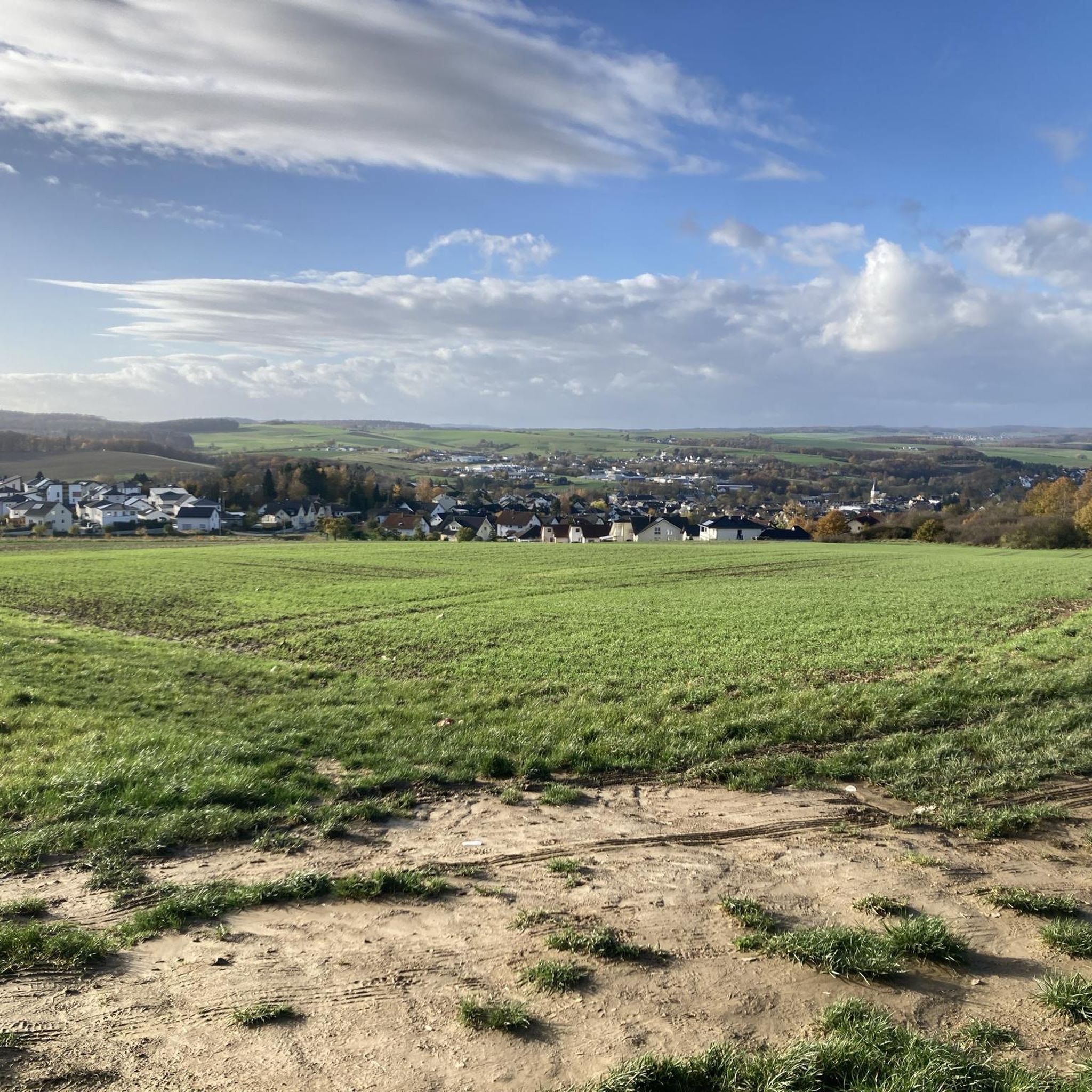
Mountain biking around Nastätten offers diverse landscapes within the "Blaues Ländchen" region, situated in the Taunus low mountain range. The area features varied topography with hills, valleys, and open areas, providing a compelling environment for outdoor enthusiasts. Trails often utilize gravel paths, farm roads, and sections of old railway lines, winding through forests and offering scenic views. This combination of accessible paths and more challenging routes caters to various skill levels.
Best mountain bike trails around Nastätten
- The most popular…
Last updated: October 3, 2026
4.6
(70)
91
riders
29.5km
02:05
350m
350m
Moderate mountain bike ride. Good fitness required. Advanced riding skills necessary.
4.6
(17)
51
riders
Moderate mountain bike ride. Good fitness required. Advanced riding skills necessary.

4.9
(23)
39
riders
44.4km
03:38
750m
750m
Moderate mountain bike ride. Good fitness required. Advanced riding skills necessary.
4.5
(26)
56
riders
Moderate mountain bike ride. Good fitness required. Suitable for all skill levels.
4.7
(10)
29
riders
Moderate mountain bike ride. Good fitness required. Suitable for all skill levels.
Get access to more routes and recommendations from other explorers.
Already have an account?
Our route recommendations are based on thousands of hikes, rides, and runs completed by other people on komoot.
Start today with a free account
Your next adventure awaits.
Tips from the Community

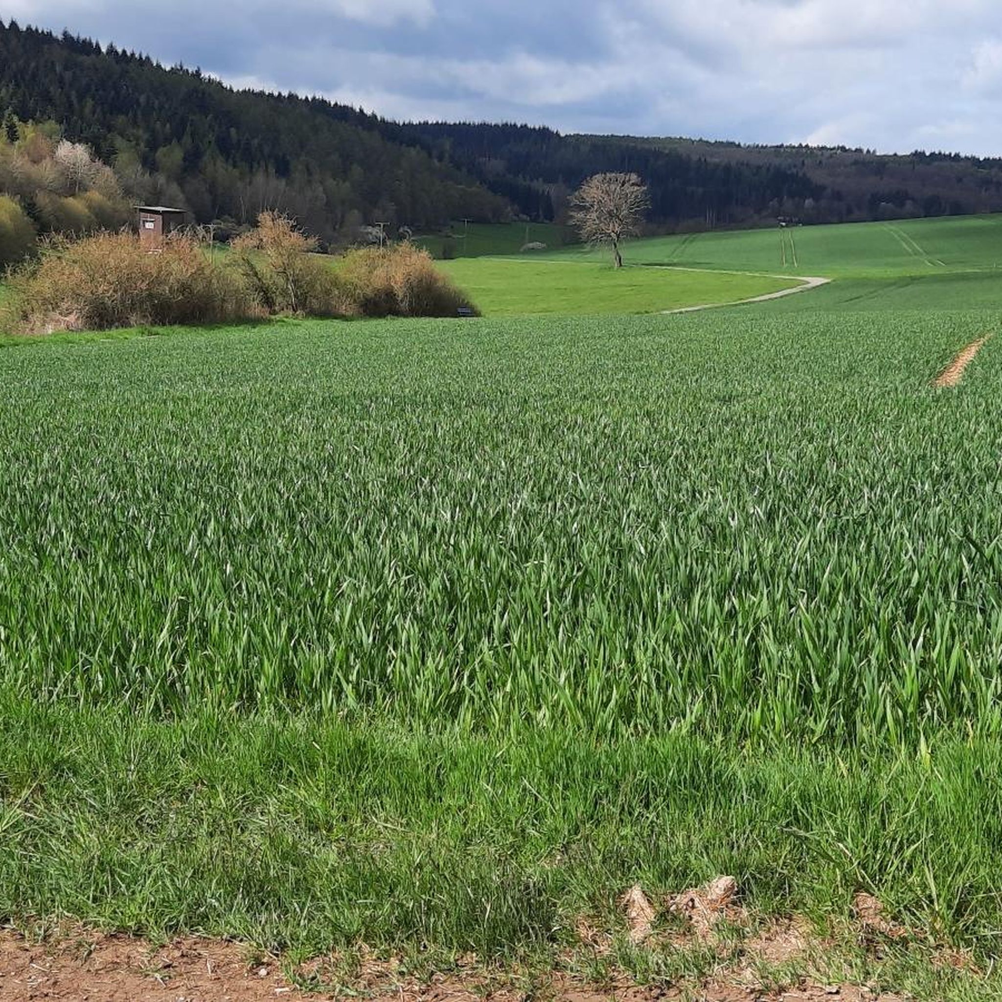
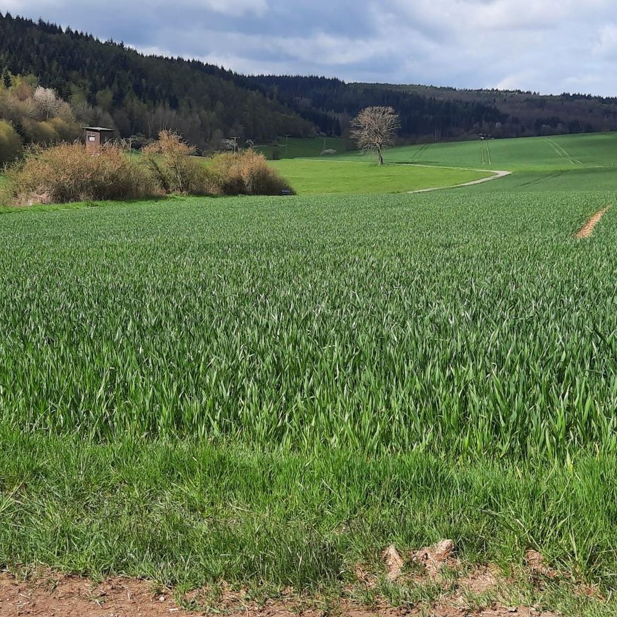
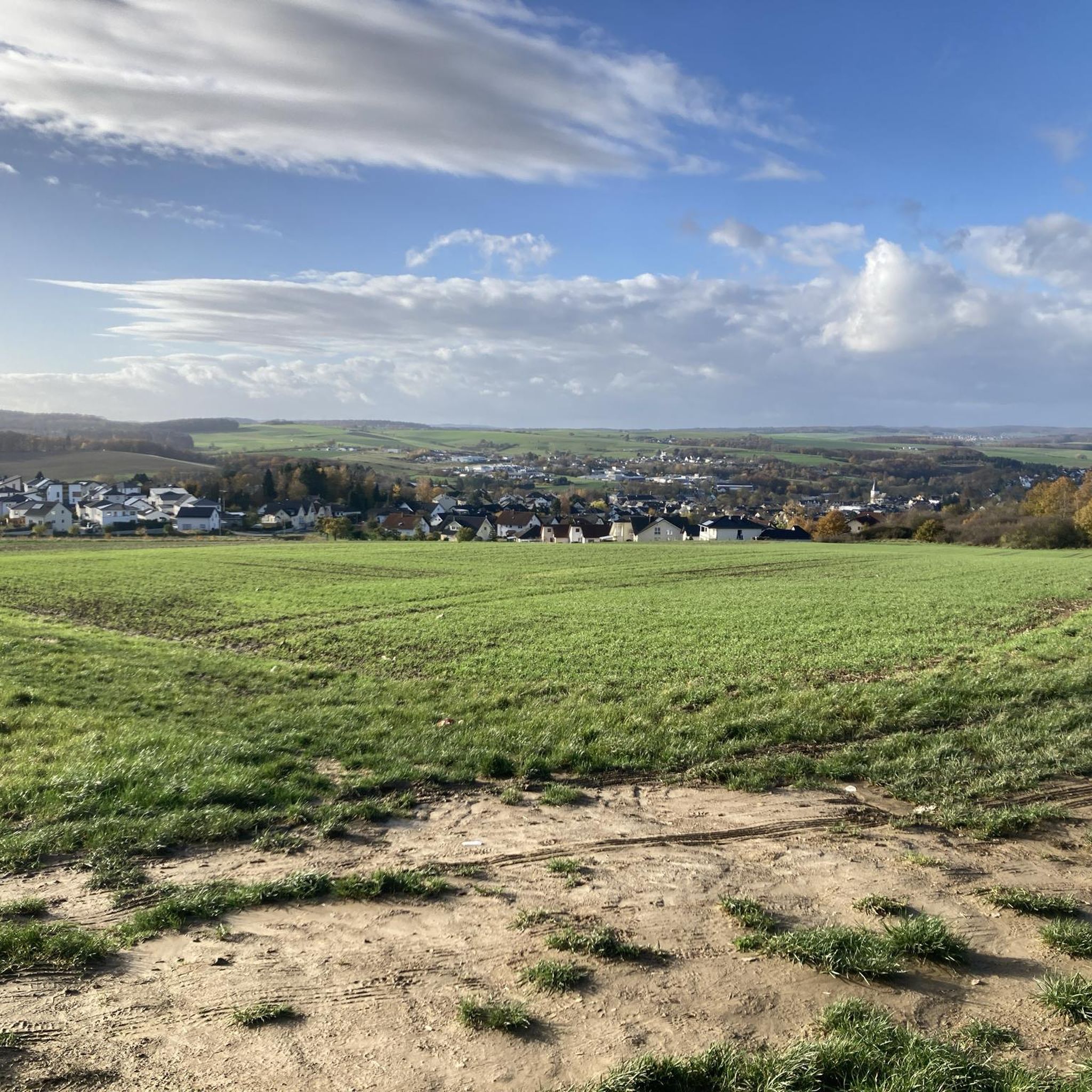
A really great view into the distance!
0
0
Here you can also replenish your drink supply.
0
0

Kaub is a beautiful place, there is a lot to discover here
0
0

The refuge is located directly at the Hausecker Forest, directly on the over 2,000-year-old Roman road, a historic trade and military route. It is located within the UNESCO World Heritage Upper Middle Rhine Valley Cultural Landscape, which underscores its cultural significance.
1
0

Nice seating under a beautiful large tree
0
0

Here you can find everything you could possibly know about this highlight: https://de.wikipedia.org/wiki/Burg_Pfalzgrafenstein
0
0

cozy corner and beautiful view
1
0

A beautiful trail leads through the forest with some "discoveries" of former excavations.
2
0
Frequently Asked Questions
How many mountain bike trails are available around Nastätten?
There are over 40 mountain bike trails around Nastätten, offering a diverse range of options for different skill levels and preferences.
What are the typical difficulty levels for mountain biking in Nastätten?
The trails in Nastätten cater to various skill levels, with 3 easy, 32 moderate, and 9 difficult routes. Many trails utilize the Single Track Scale (STS) for technical difficulty ratings, allowing riders to choose routes appropriate for their abilities.
Are there any family-friendly mountain bike trails in Nastätten?
Yes, Nastätten offers easy routes suitable for families. The "Circular route through the Verbandsgemeinde Nastätten" is an easy 28.8 km route that primarily uses gravel paths and old railway lines, away from main roads, making it a pleasant option for a leisurely ride.
What kind of terrain can I expect on mountain bike trails in Nastätten?
You can expect varied terrain, including gravel paths, farm roads, and sections of old railway lines. Trails wind through forests, valleys, and open areas within the Taunus low mountain range, offering diverse landscapes and scenic views.
Are there any long-distance mountain bike routes in the Nastätten area?
Yes, there are several longer routes. For example, the Dörsbach Valley – Arnstein Monastery loop from Nastätten covers over 50 km, and the Hof Offenthal – View of the Hunsrück loop from Nastätten is a moderate 44.4 km path offering extensive views.
What are some scenic mountain bike trails offering good views?
Many trails offer picturesque views. The View of Bogel – View Over the Countryside loop from Nastätten provides expansive views over the surrounding countryside. Another popular choice is the Hof Offenthal – View of the Hunsrück loop from Nastätten, which offers extensive views of the distant Hunsrück region.
What do other mountain bikers enjoy most about the trails in Nastätten?
The mountain bike trails in Nastätten are highly rated by the komoot community, with an average score of 4.4 stars from over 190 reviews. Riders often praise the diverse landscapes, the combination of accessible paths and challenging routes, and the scenic beauty of the "Blaues Ländchen" region.
Are there any specific points of interest or landmarks along the mountain bike routes?
Yes, the region offers several points of interest. You might encounter the Roman Fort Nassau on some routes. The "Weg der Bäume" (Path of the Trees) is a botanical circular path with over 30 native and foreign tree species, identified by QR codes, which can be integrated into longer cycling tours. The Nastätten Glider Airfield also offers beautiful views of the Blaues Ländchen.
Are there any bike parks or specialized mountain biking areas near Nastätten?
Yes, for those seeking more specialized challenges, there is a bike park in Miehlen. Additionally, you can explore highlights like the Jakobsruh Trail or the Mühlbachtal Rope Trail to Anton Funck Bridge (S1–S2), which are part of the bike park offerings around Nastätten.
Can I find any natural caves or rock formations while mountain biking in the area?
Yes, the region features interesting geological formations. You might find highlights such as the "Wild-Weibchens-Ley" cave or the Slate Caves in Sauerborntal. The Wild Women’s Cave rock formation and the Rock formation Naurother Schweiz are also notable natural monuments.
Are there mountain bike trails that pass through the Mühlbachtal?
Yes, the scenic Mühlbachtal is a feature of several routes. The Rauschenmühle Abandoned Mill – Mühlbachtal Trail loop from Nastätten is a popular 36.6 km trail that leads directly through this beautiful valley.
What is the best time of year for mountain biking in Nastätten?
The diverse landscapes of Nastätten, with its forests and valleys, are enjoyable throughout the warmer months. Spring and autumn offer pleasant temperatures and vibrant scenery, while summer provides longer daylight hours for extended rides. Always check local weather conditions before heading out.
Most popular routes around Nastätten
Most popular attractions around Nastätten

Get inspired with the komoot mobile app


Explore more
Browse the best MTB trails in other regions.
