The best gravel rides around Nastätten
4.4
(50)
122
riders
38
rides
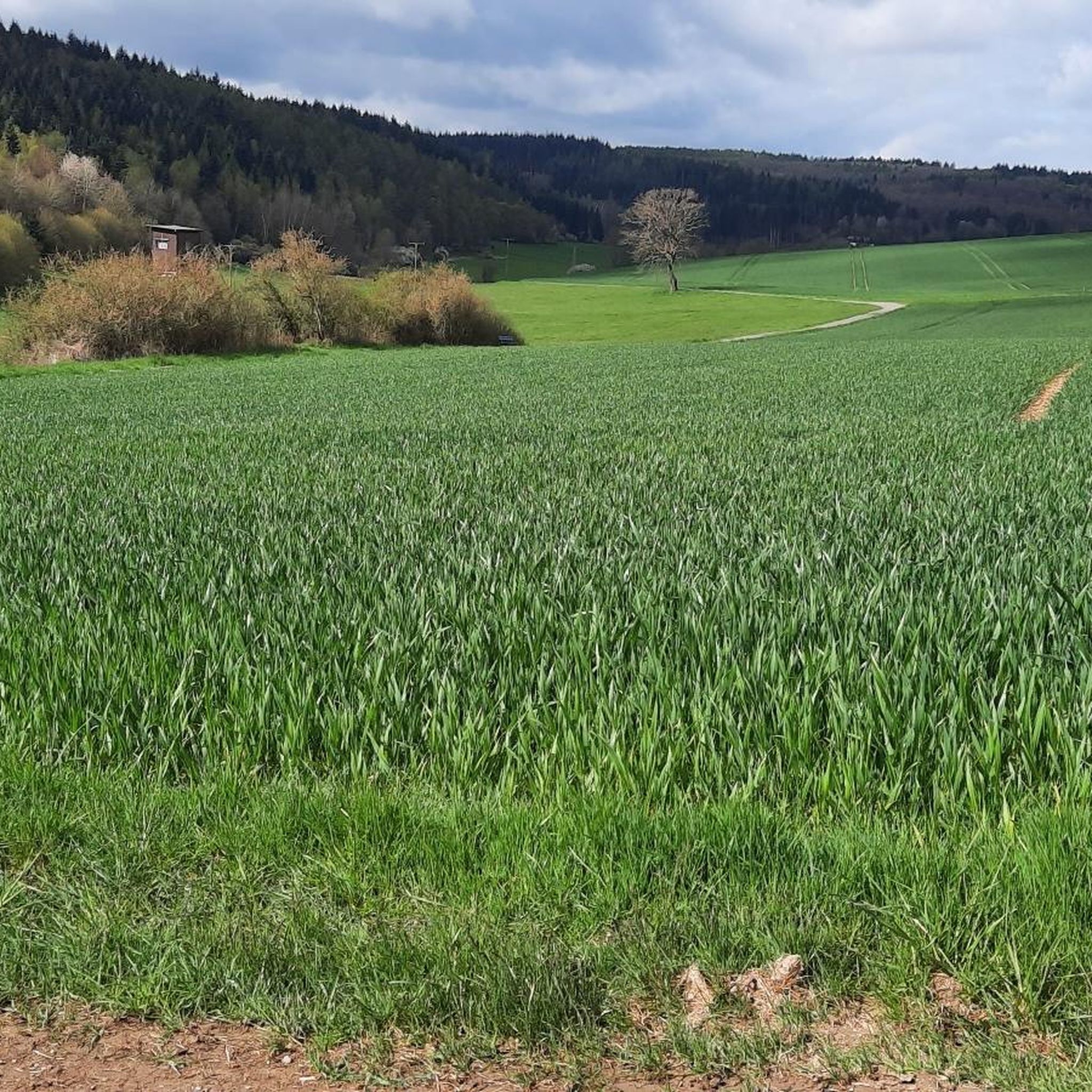
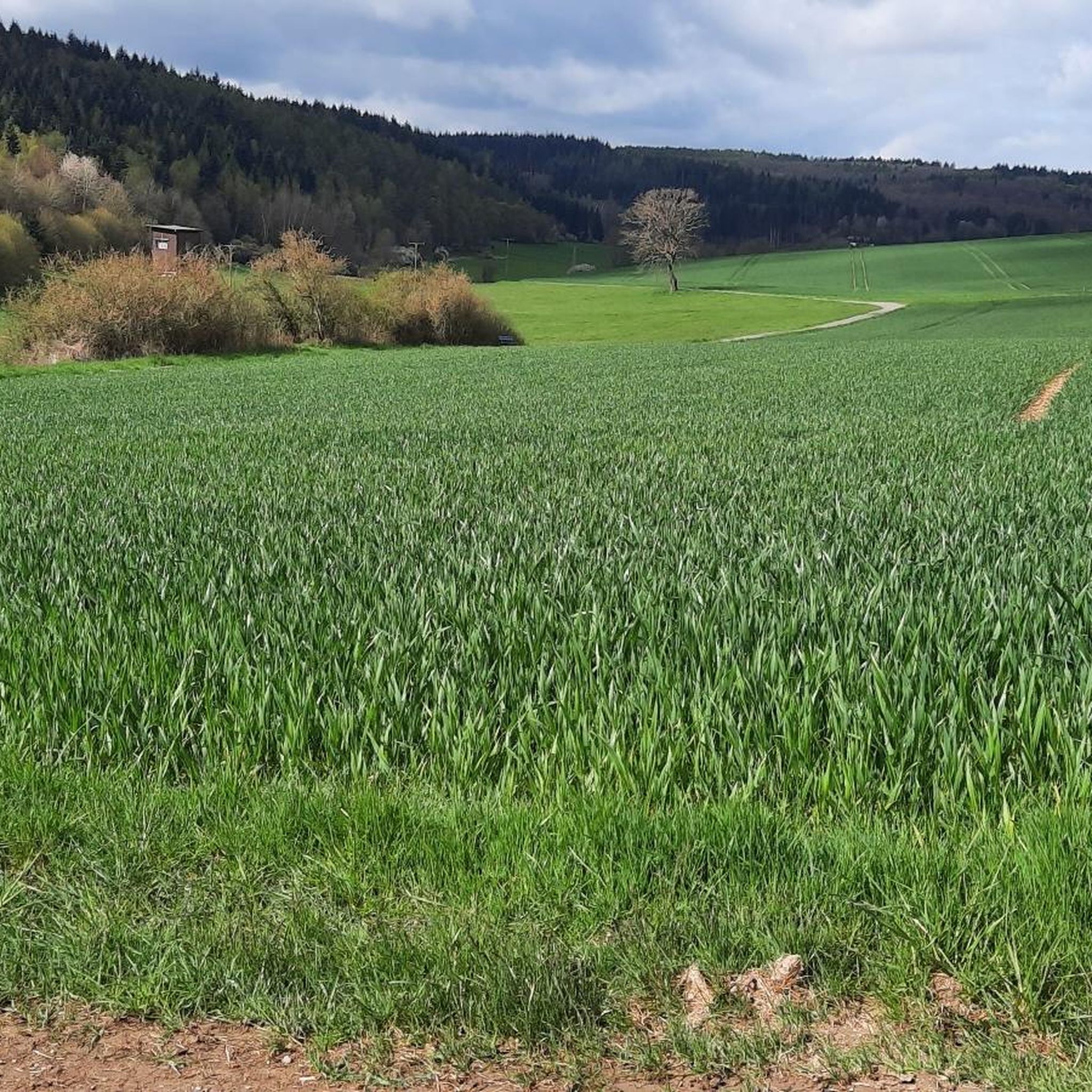
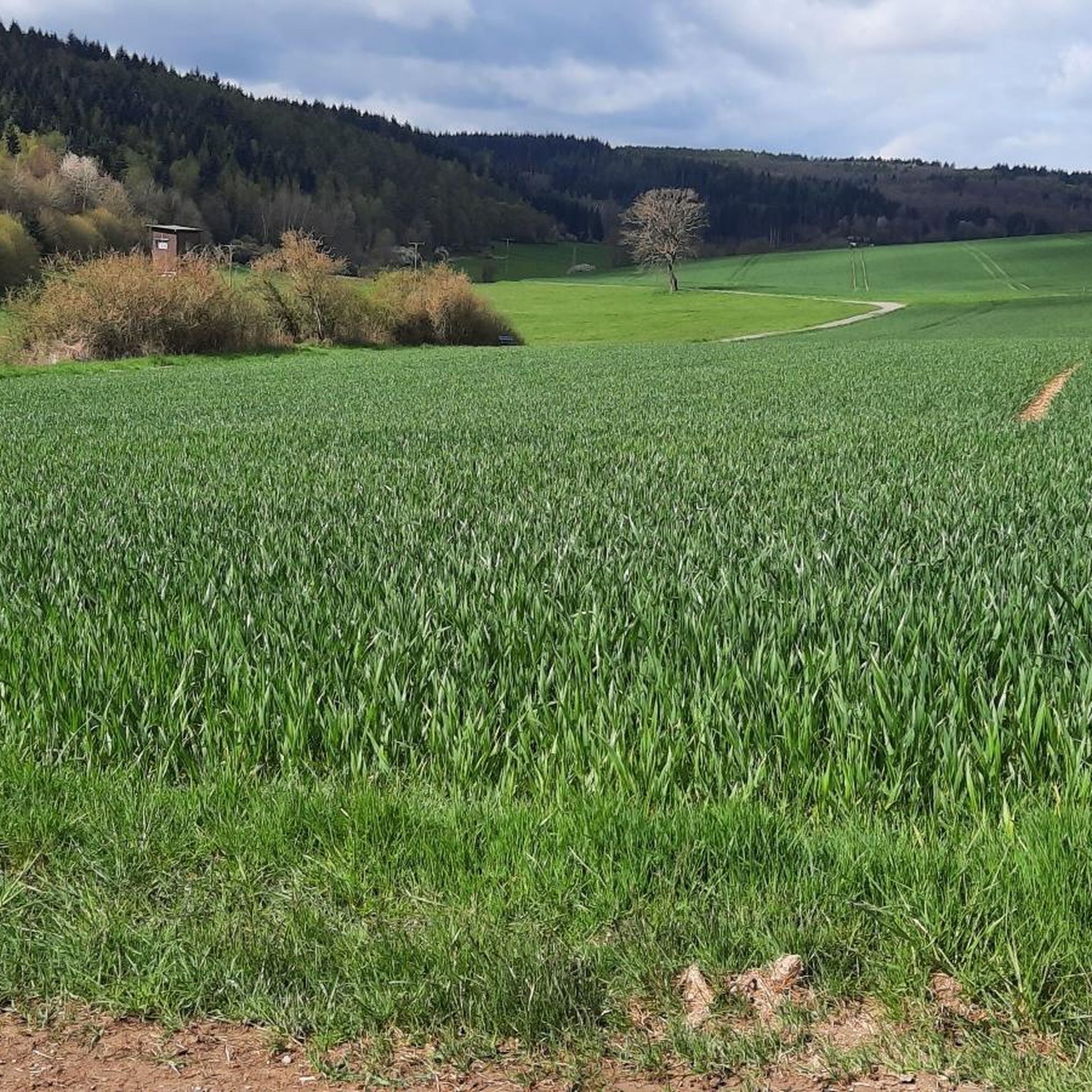
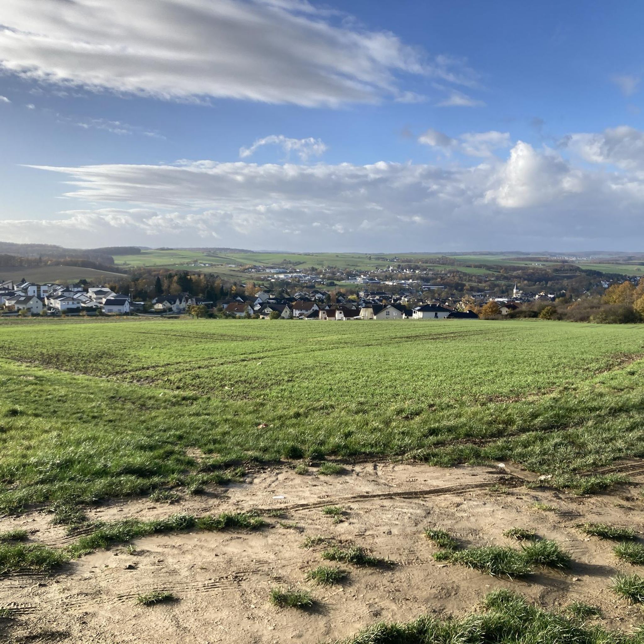
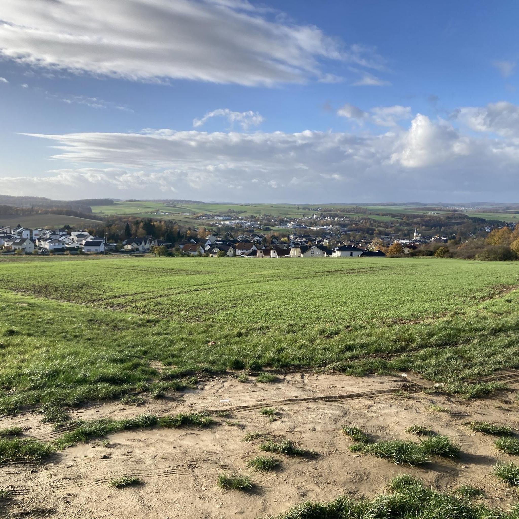
Gravel bike trails around Nastätten are situated in Germany's Taunus region, characterized by hilly terrain and dense forests. The area offers a network of mixed-surface paths, combining paved roads with unpaved tracks suitable for gravel biking. Significant elevation changes are common, providing a challenging experience for riders. Proximity to the Lahn and Rhine rivers also allows for routes along their banks and through their valleys.
Best gravel bike trails around Nastätten
- The most popular gravel bike trail is Hauserbachsee –…
Last updated: October 6, 2026
4.7
(9)
25
riders
35.4km
02:17
430m
430m
Hard gravel ride. Good fitness required. You may need to push your bike for some segments of this route.
4.6
(8)
23
riders
Hard gravel ride. Very good fitness required. Mostly paved surfaces. Suitable for all skill levels.

3.7
(3)
16
riders
Hard gravel ride. Very good fitness required. Mostly paved surfaces. Suitable for all skill levels.
4.0
(2)
7
riders
30.1km
02:13
440m
440m
Moderate gravel ride. Good fitness required. Mostly paved surfaces. Suitable for all skill levels.
5.0
(1)
4
riders
56.5km
03:53
810m
810m
Hard gravel ride. Very good fitness required. Mostly paved surfaces. Suitable for all skill levels.
Get access to more routes and recommendations from other explorers.
Already have an account?
Our route recommendations are based on thousands of hikes, rides, and runs completed by other people on komoot.
Start today with a free account
Your next adventure awaits.
Tips from the Community

We stopped here at the end of the hike with a group. The price-performance ratio was very good. The service was fast and friendly, and the food was very tasty and plentiful. This place is therefore recommended.
0
0
The bridge with the church in the background is really a beautiful motif.
0
0
Here you can also replenish your drink supply.
0
0
The artificially created water surface has a calming effect. From the shelter, there is a beautiful view over the lake.
0
0

The Holzhausen Roman Fort is an impressive example of Roman military architecture on the Upper Germanic Limes—now a UNESCO World Heritage Site. It is idyllically situated in the forest near Holzhausen an der Haide in the Rhein-Lahn district and is one of the best-preserved Limes forts in Germany.
1
0

Nice seating under a beautiful large tree
0
0

cozy corner and beautiful view
1
0

The old stone bridge is worth seeing, but the church is unfortunately closed.
0
0
Frequently Asked Questions
What kind of terrain can I expect on gravel bike trails around Nastätten?
The region around Nastätten, nestled in Germany's Taunus, is characterized by its hilly terrain and dense forests. You'll encounter a diverse mix of paved roads, unpaved tracks, gravel paths, and dirt surfaces. Expect significant elevation changes, offering a rewarding challenge for riders.
Are there any historical sites or landmarks I can explore on a gravel bike ride near Nastätten?
Yes, the area is rich in history. A major highlight is the German Limes Cycle Path, a UNESCO World Heritage Site, which includes unpaved segments suitable for gravel bikes and features replicas of Limes watchtowers. You can also find historical attractions like Oranienstein Castle and the town church of St. Margaretha. For those interested in castles, consider exploring highlights such as View of Katz Castle or Laukenmühle and Lauksburg Ruins.
What do other gravel bikers enjoy most about the trails in Nastätten?
The gravel biking routes around Nastätten are highly rated by the komoot community, with an average score of 4.5 stars from over 40 reviews. Riders frequently praise the varied terrain, the challenging climbs, and the scenic views of the surrounding countryside, including the Lahn and Rhine valleys.
Are there any trails that offer scenic viewpoints?
Absolutely. Many routes in the Nastätten area feature stunning vistas. For example, the View from Marienfels – Sauerborn Spring in Marienfels loop from Niederwallmenach offers scenic viewpoints. You can also find natural viewpoints like the "Aussichtspunkt Grillhütte Hungerschied" and the famous Loreley rock within a reasonable distance for dramatic scenery.
Are there any loop routes available for gravel biking?
Yes, many of the gravel bike trails around Nastätten are designed as loops. For instance, the Hauserbachsee – View of Hasenbach Valley loop from Ehr is a popular loop route. Another option is the Grauer Kopf (543 m) – Roman Fort Nassau loop from Ergeshausen.
What is the best time of year for gravel biking in Nastätten?
The Taunus region around Nastätten is generally suitable for cycling throughout much of the year. Spring and autumn offer pleasant temperatures and beautiful scenery with changing foliage. Summer provides longer daylight hours, though some climbs can be more strenuous in warmer weather. Winter riding is possible, but be prepared for potentially colder temperatures and varying trail conditions.
Are there any routes that pass by natural features like springs or caves?
Yes, some routes incorporate natural features. The View from Marienfels – Sauerborn Spring in Marienfels loop from Niederwallmenach specifically features natural springs. Additionally, the region has interesting cave highlights such as the "Wild-Weibchens-Ley" cave and Slate Caves in Sauerborntal, which could be visited as part of a ride.
How many gravel bike trails are there in Nastätten?
There are over 45 gravel bike trails available around Nastätten, offering a wide range of options for different skill levels and preferences. These include 2 easy, 16 moderate, and 27 difficult routes.
Are there any long-distance gravel biking options in the area?
While many routes are day trips, the region's network of paths and connection to the German Limes Cycle Path allows for longer rides. For example, the View of Hasenbach Valley – Heisebäumchen Viewpoint loop from Singhofen is a longer option at over 55 km, providing a more extended experience through varied terrain.
What are the typical difficulty levels for gravel biking in Nastätten?
Gravel biking around Nastätten offers a range of difficulty levels, from moderate to difficult. The terrain often includes challenging climbs and significant elevation changes, making it suitable for riders seeking a good workout. There are 16 moderate and 27 difficult routes available, along with a couple of easier options.
Can I find places to eat or stay overnight near the gravel bike trails in Nastätten?
Nastätten and the surrounding towns offer various amenities for cyclists. You can find cafes, restaurants, hotels, guest houses, and campsites in the area to refuel and rest after your rides. It's advisable to check local listings for specific establishments and their opening hours.
What kind of views can I expect on the gravel trails around Nastätten?
The trails often provide fantastic views of the surrounding countryside, including the picturesque hills and extensive forests characteristic of the Taunus uplands. You can also enjoy vistas of the Lahn and Rhine valleys, and some routes offer specific viewpoints like the View of Hasenbach Valley – Sauerborn Spring in Marienfels loop from Niederwallmenach.
Most popular attractions around Nastätten

Get inspired with the komoot mobile app


Explore more
Browse the best Gravel rides in other regions.
