The best cycling routes around Niederkrüchten
4.4
(1018)
4,584
riders
164
rides
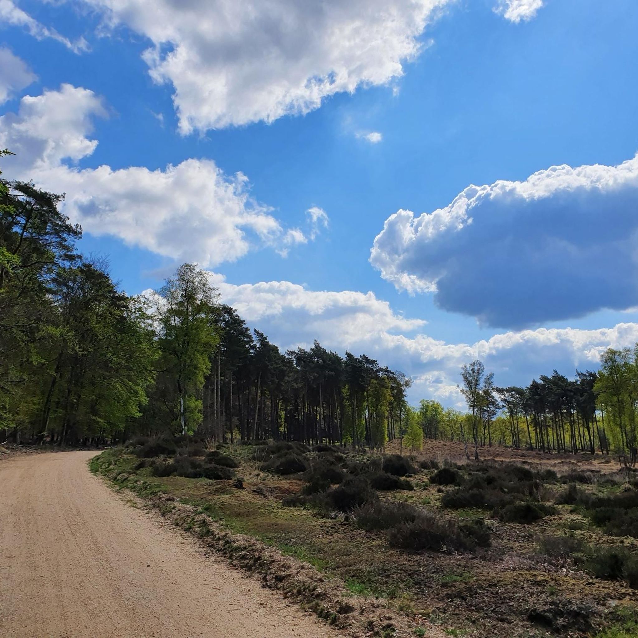
Touring cycling around Niederkrüchten, located in the Lower Rhine region of North Rhine-Westphalia, Germany, offers diverse landscapes for exploration. The area is characterized by gentle rolling hills, extensive meadows, and picturesque forests, forming part of the Maas-Schwalm-Nette Nature Park. Cyclists can follow the scenic Nette and Schwalm rivers, passing by lakes such as Hariksee and Venekotensee. The region also features significant nature reserves like Elmpter Schwalmbruch, known for its juniper heath.
Best touring cycling routes around Niederkrüchten
- The most popular…
Last updated: October 11, 2026
4.7
(100)
305
riders
Easy bike ride. Great for any fitness level. Mostly paved surfaces. Suitable for all skill levels.
4.6
(96)
393
riders
43.8km
02:43
150m
150m
Moderate bike ride. Good fitness required. Mostly paved surfaces. Suitable for all skill levels.

4.8
(30)
121
riders
56.3km
03:30
170m
170m
Moderate bike ride. Good fitness required. Mostly paved surfaces. Suitable for all skill levels.
4.8
(15)
59
riders
22.2km
01:22
110m
110m
Easy bike ride. Great for any fitness level. Mostly paved surfaces. Suitable for all skill levels.
4.5
(31)
156
riders
Moderate bike ride. Good fitness required. Mostly paved surfaces. Suitable for all skill levels.
Get access to more routes and recommendations from other explorers.
Already have an account?
Our route recommendations are based on thousands of hikes, rides, and runs completed by other people on komoot.
Start today with a free account
Your next adventure awaits.
Popular around Niederkrüchten
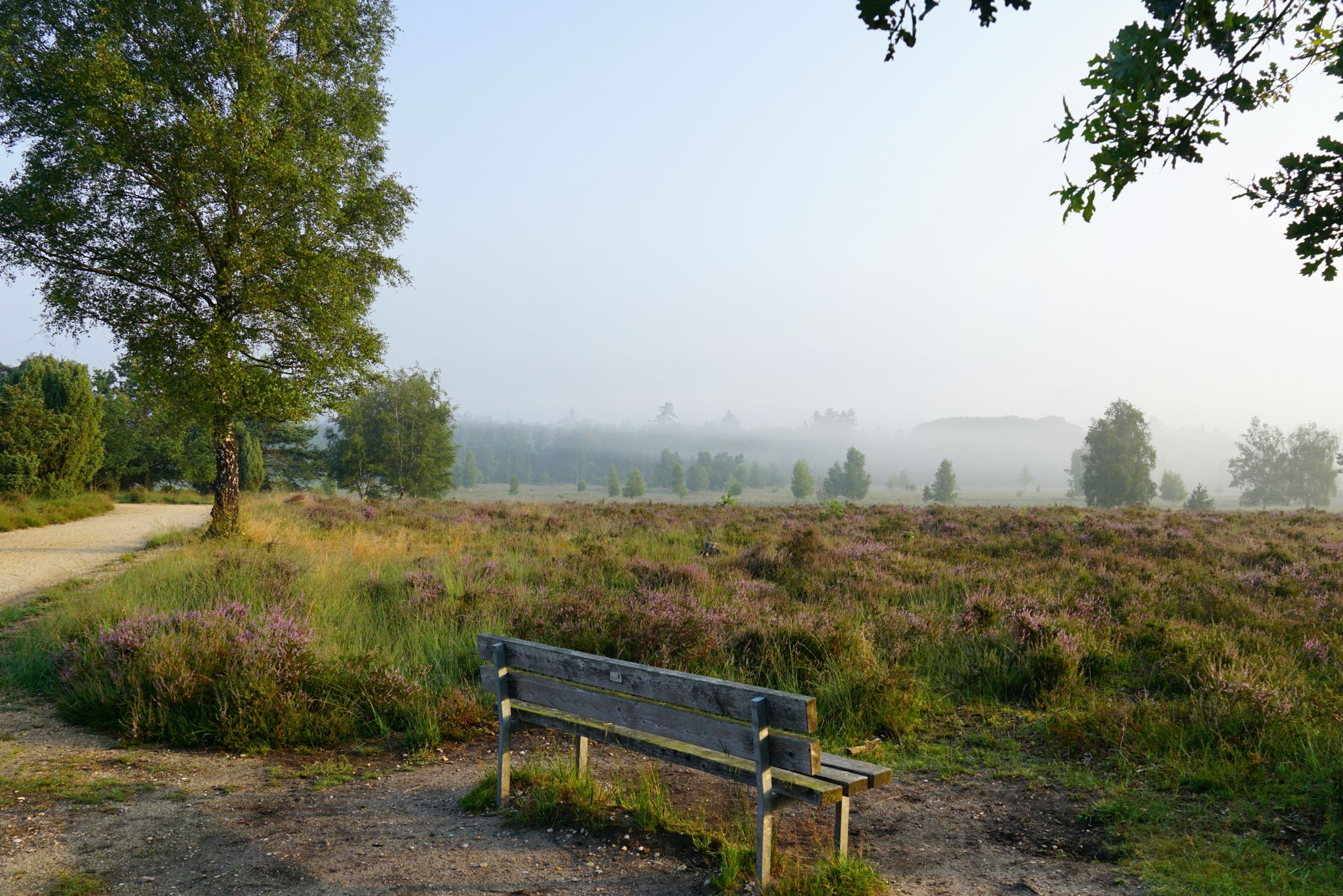
Leichte.Wander.Welt. - 10 barrier-free paths
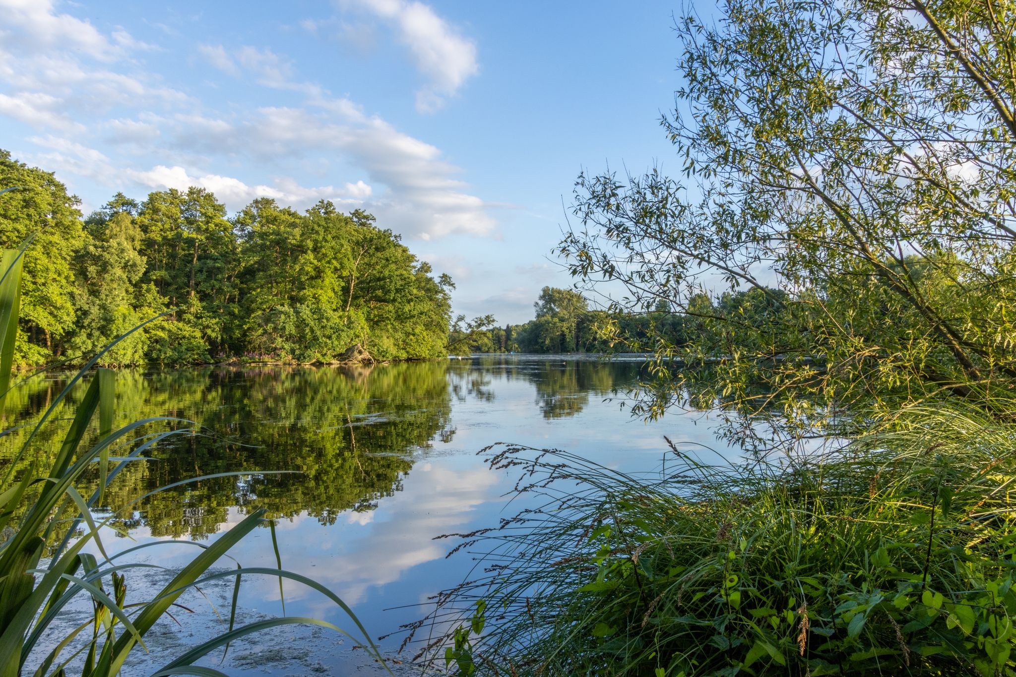
Water.Hike.World. - Premium Hiking Trails
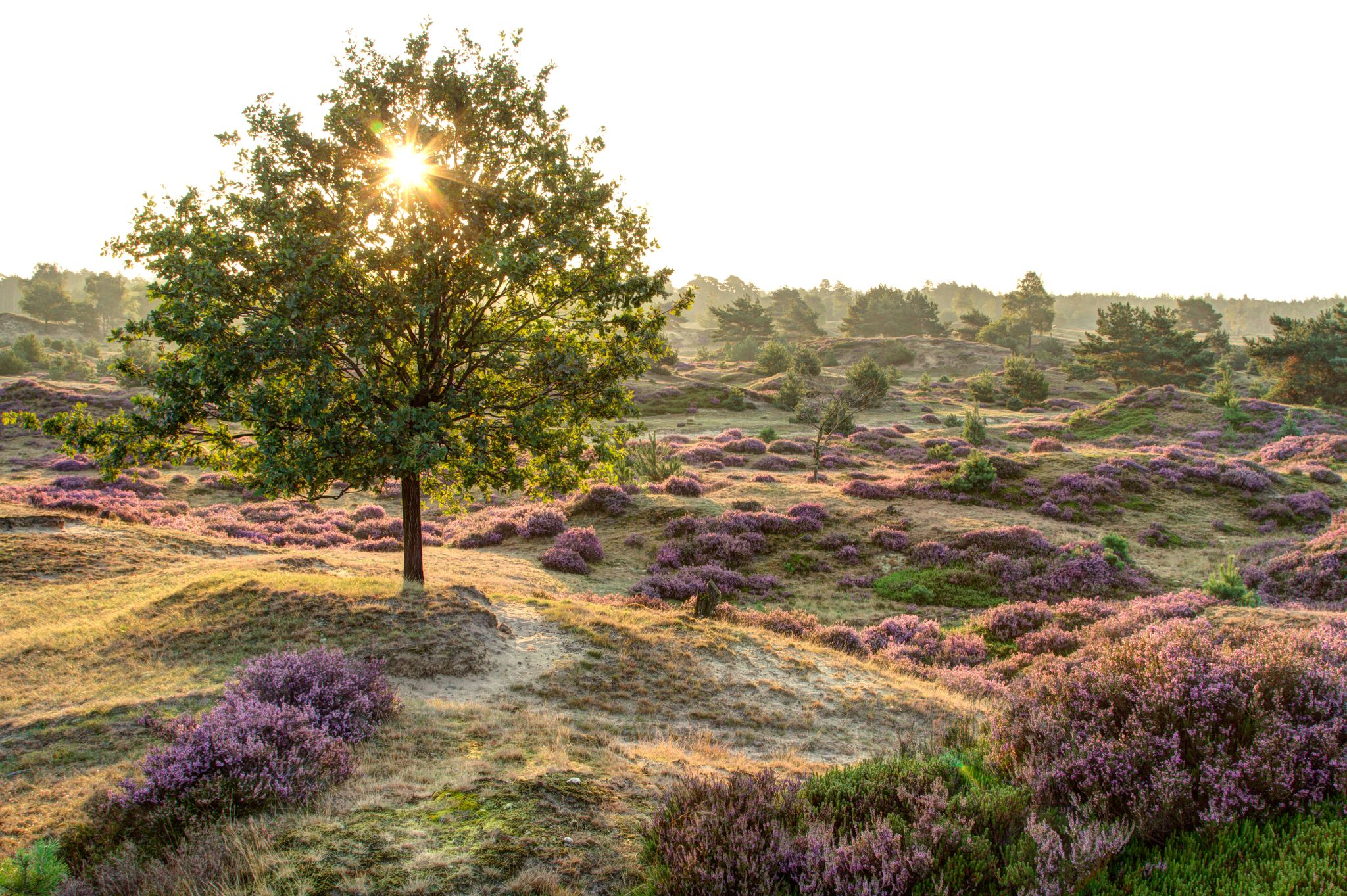
A complete hiking bucket list through every Dutch National Park
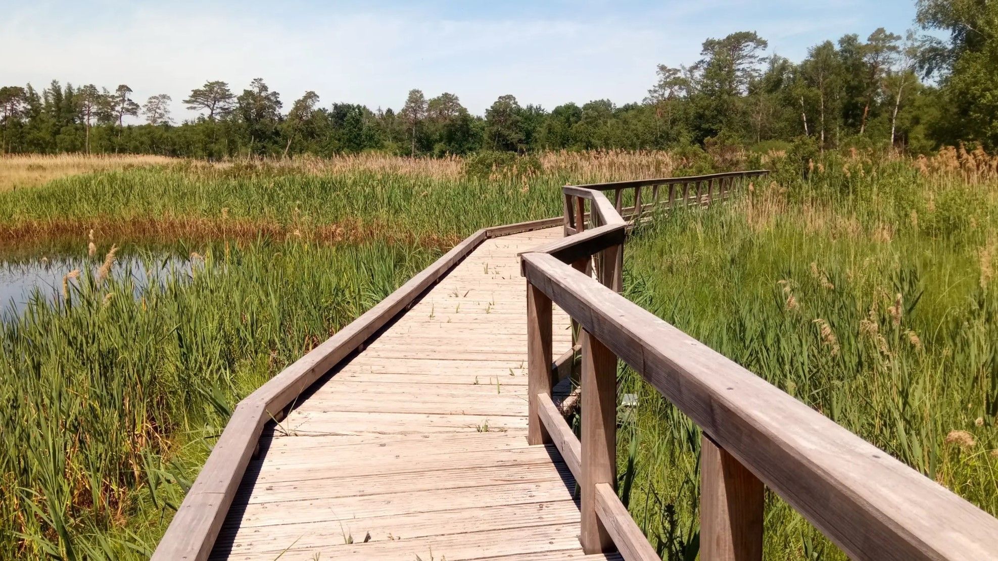
Wasser.Wander.Welt. – Premium-Spazierwanderwege
Hiking around Niederkrüchten
Running Trails around Niederkrüchten
MTB Trails around Niederkrüchten
Road Cycling Routes around Niederkrüchten
Gravel biking around Niederkrüchten
Other adventures around Niederkrüchten


Tips from the Community

Great cycle paths, very idyllic but also very narrow.
0
0

Beautiful cycle paths
2
0

The forest path through Meinweg National Park gives a nice playful touch to this route, enjoyed!
2
0


Very scenic and relaxing environment.
4
0

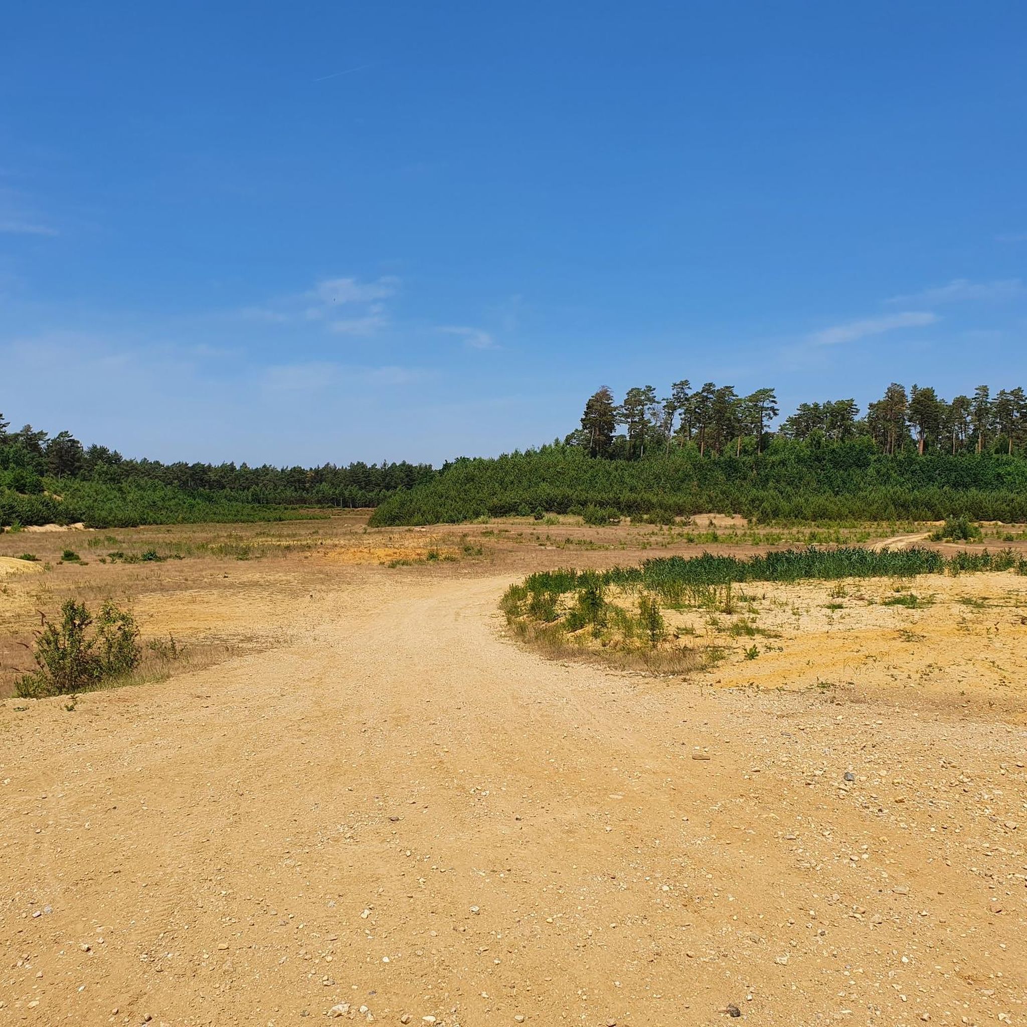
Many juniper bushes grow on this heath, some of which are several meters tall. The area is known as the largest juniper heath in the Lower Rhine region. This makes it a rare and valuable nature reserve, as this type of heath is scarce nowadays. The juniper heath originated from human use of the landscape in the past. Grazing by sheep and land use created an open heath landscape in which juniper bushes could grow. Nowadays, this landscape is actively maintained, including through grazing by heath sheep, to prevent it from turning into forest. The area is also important for animals. Various bird species, such as the nightjar and the woodlark, live on the heath. In addition, many insects, reptiles, and amphibians are found here. Due to the combination of wet and dry areas, the biodiversity here is very high.
2
0
There are many juniper bushes here. You don't find juniper berries in many places.
1
0
Frequently Asked Questions
How many touring cycling routes are available in Niederkrüchten?
Niederkrüchten offers a wide selection of touring cycling routes, with over 160 options available. These routes cater to various preferences, including easy paths along rivers and more challenging trails through varied terrain.
What kind of terrain can I expect on touring cycling routes in Niederkrüchten?
The touring cycling routes in Niederkrüchten are characterized by gentle rolling hills, picturesque forests, and expansive meadows. You'll find paths winding along the scenic Nette and Schwalm rivers, and through significant nature reserves like the Elmpter Schwalmbruch, which features the largest juniper heath on the left bank of the Lower Rhine.
Are there options for different skill levels among the touring cycling routes?
Yes, Niederkrüchten provides touring cycling routes for all skill levels. There are 113 easy routes, 36 moderate routes, and 17 difficult routes. For example, the Elmpter Swalmbruch Marshes – Cycle Path Along the Schwalm loop from Niederkrüchten is an easy 17.3-mile path, while the Cycle Path Along the Schwalm – View of the Hariksee (Lake Harik) loop from Mühlrather Mühle is a more difficult 27.5-mile route.
What natural features can I explore while cycling in Niederkrüchten?
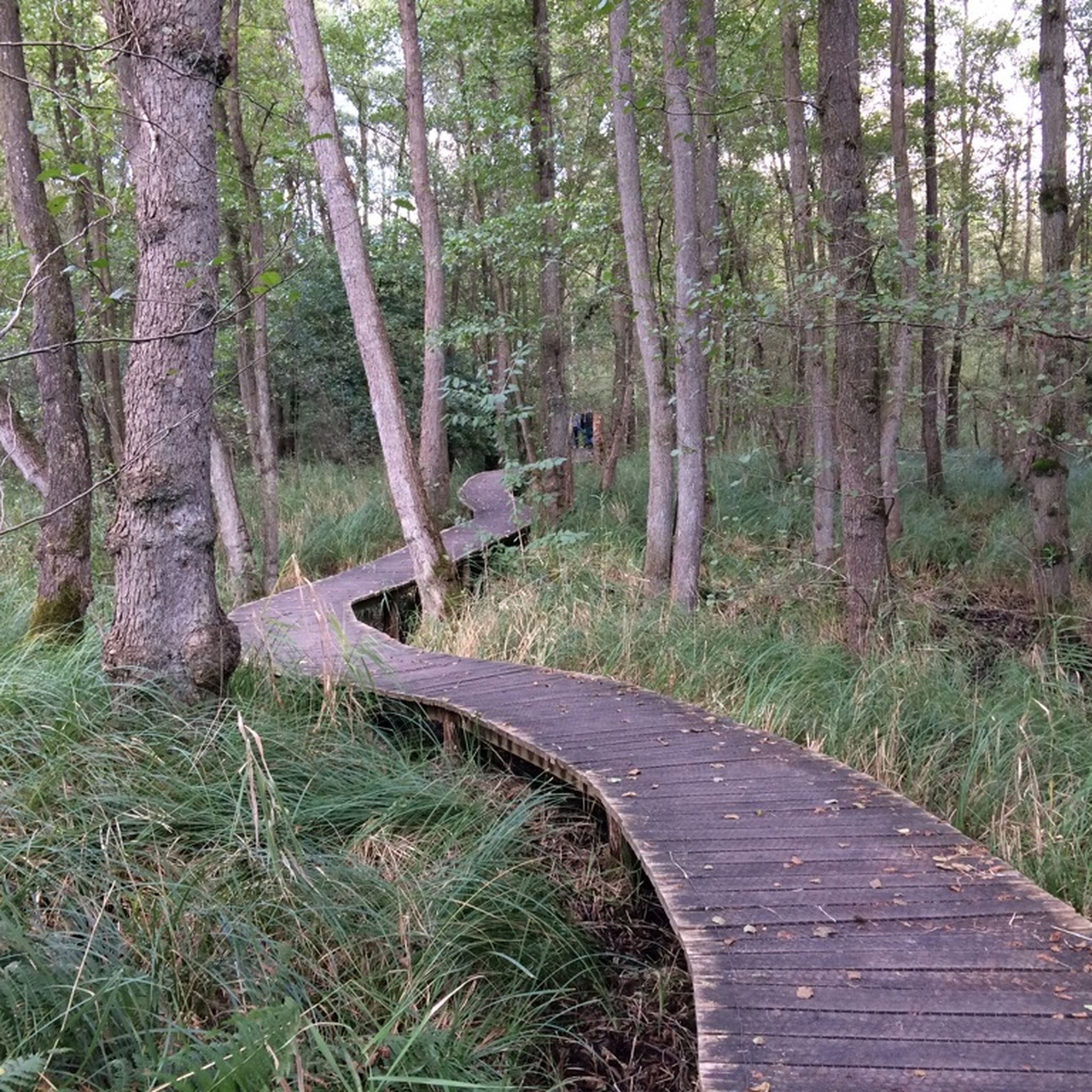
While cycling in Niederkrüchten, you can explore diverse natural features. The region is part of the Maas-Schwalm-Nette Nature Park, offering breathtaking landscapes. Highlights include the scenic Nette and Schwalm rivers, lakes like Hariksee and Venekotensee, and nature reserves such as the Elmpter Schwalmbruch Nature Reserve. You can also experience unique moor and swamp landscapes with boardwalks, like the Boardwalk Through the Moor in Schaagbachtal.
Are there any historical sights or landmarks along the touring cycling routes?
Yes, beyond natural beauty, cyclists can encounter historical points of interest. These include the Brempt mill on the Schwalm, St. George's Chapel, and Krickenbeck Castle, which dates back to the 14th century. The Elmpter Chapel of St. Maria an der Heiden from 1703 is another notable sight nestled within the forest.
What do other touring cyclists enjoy about cycling in Niederkrüchten?
The touring cycling experience in Niederkrüchten is highly rated by the komoot community, with an average score of 4.4 stars from over 1000 reviews. Cyclists often praise the varied terrain, from gentle rolling hills to river valleys and expansive nature reserves, and the well-maintained network of paths that cater to different ability levels.
Are there family-friendly touring cycling routes in Niederkrüchten?
Yes, Niederkrüchten offers several family-friendly touring cycling routes. Many easy paths along the rivers and through the nature park are suitable for families. These routes often feature flat sections and scenic views, providing an enjoyable experience for all ages.
What are the options for parking or public transport near the cycling routes?
Niederkrüchten is well-equipped for visitors. Parking facilities are generally available near popular starting points for cycling routes. For public transport, regional bus services connect Niederkrüchten with surrounding towns, which can be used to access various parts of the cycling network.
Are there places to eat or rest along the touring cycling routes?
Yes, you'll find various places to eat and rest. Hariksee, for instance, is a popular excursion destination with restaurants and cafés along its western shore. Additionally, the region has several huts and inns, such as De Bos Inn, providing opportunities for refreshments and breaks during your ride.
Can I cycle across the border into the Netherlands from Niederkrüchten?
Yes, Niederkrüchten's proximity to the Dutch border allows for seamless cross-border cycling experiences. Many paths lead directly into the Netherlands, offering an extended network of trails and diverse landscapes to explore. For example, the Meinweg National Park – De Meinweg National Park loop from Brüggen takes you into the Dutch part of the park.
Are there circular touring cycling routes available in Niederkrüchten?
Many of the touring cycling routes in Niederkrüchten are designed as circular loops, making them convenient for day trips. Examples include the The Meinweg Heath – Cycle Path Along the Schwalm loop from Brüggen and the Elmpter Swalmbruch Marshes – Schwalm River loop from Naturpark Schwalm-Nette, allowing you to start and end at the same point.
What is the best time of year for touring cycling in Niederkrüchten?
The Lower Rhine region, including Niederkrüchten, is generally pleasant for touring cycling from spring through autumn. The mild weather during these seasons makes for comfortable rides through the forests, meadows, and along the rivers. Spring brings blooming nature, while autumn offers beautiful foliage.
Most popular routes around Niederkrüchten
Most popular attractions around Niederkrüchten

Get inspired with the komoot mobile app


Explore more
Browse the best Cycling routes in other regions.
