The best MTB trails around Münchweiler am Klingbach
4.6
(2992)
11,901
riders
467
rides
Mountain bike trails around Münchweiler am Klingbach are situated within the Southern Wine Route region, offering access to the extensive Palatinate Forest. This area is characterized by picturesque hills, dense beech forests, and unique red sandstone rock formations. The terrain provides varied challenges, from technical climbs and descents to flowy single trails, making it suitable for different skill levels.
Best mountain bike trails around Münchweiler am Klingbach
- The most popular mountain bike trail is Palatinate Forest Trail – Trail to…
Last updated: July 9, 2026
4.8
(24)
51
riders
25.2km
02:30
660m
660m
Moderate mountain bike ride. Good fitness required. Advanced riding skills necessary.
4.3
(8)
32
riders
37.6km
03:37
880m
880m
Moderate mountain bike ride. Good fitness required. Advanced riding skills necessary.

Sign up for free
4.5
(2)
15
riders
24.7km
02:22
560m
560m
Moderate mountain bike ride. Good fitness required. Advanced riding skills necessary.
4.7
(3)
10
riders
38.8km
03:06
620m
620m
Moderate mountain bike ride. Good fitness required. Advanced riding skills necessary.
5.0
(2)
14
riders
37.5km
03:15
730m
730m
Moderate mountain bike ride. Good fitness required. Advanced riding skills necessary.
Get access to more routes and recommendations from other explorers.
Sign up for free
Already have an account?
Our route recommendations are based on thousands of hikes, rides, and runs completed by other people on komoot.
Start today with a free account
Your next adventure awaits.
Login or Signup
Popular around Münchweiler am Klingbach
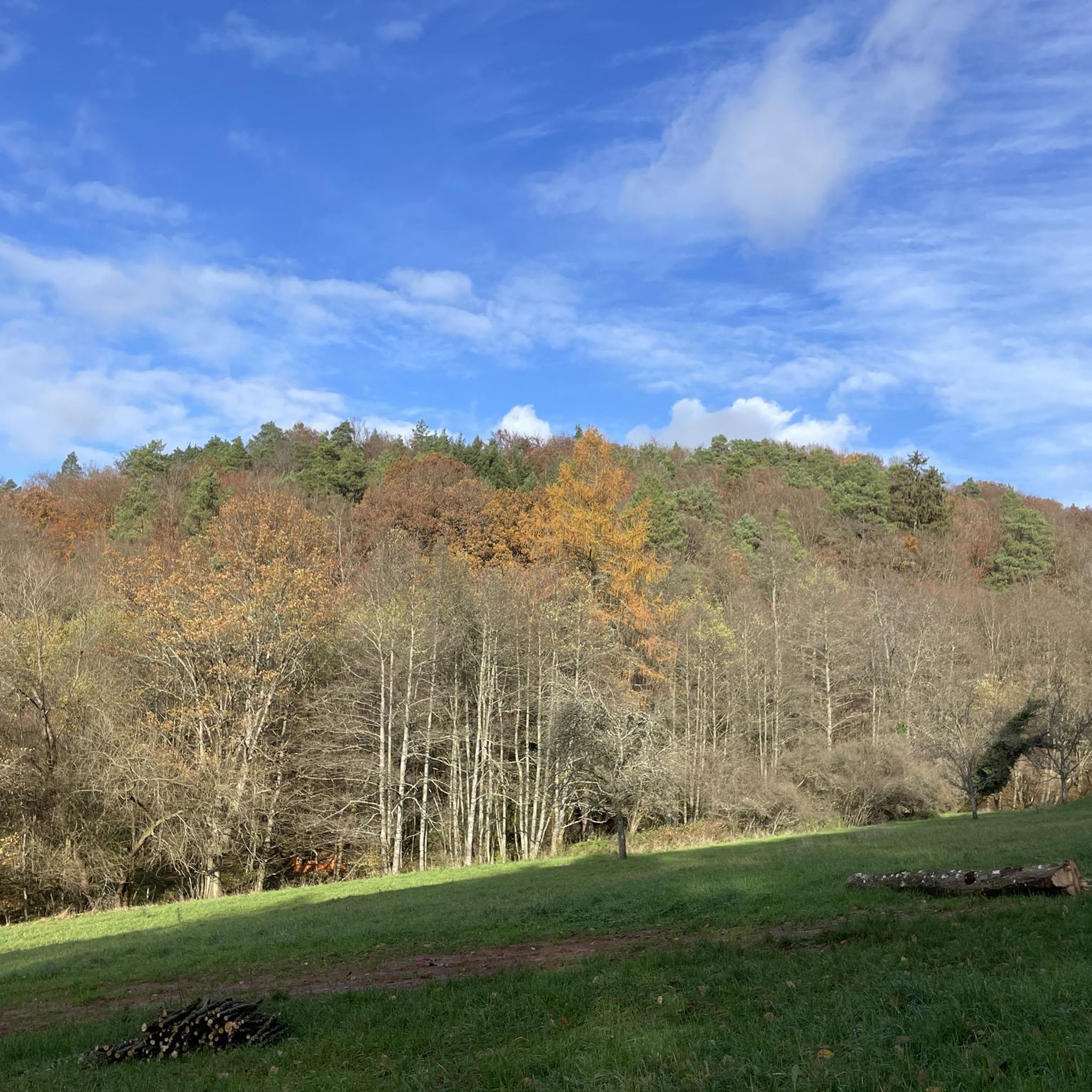
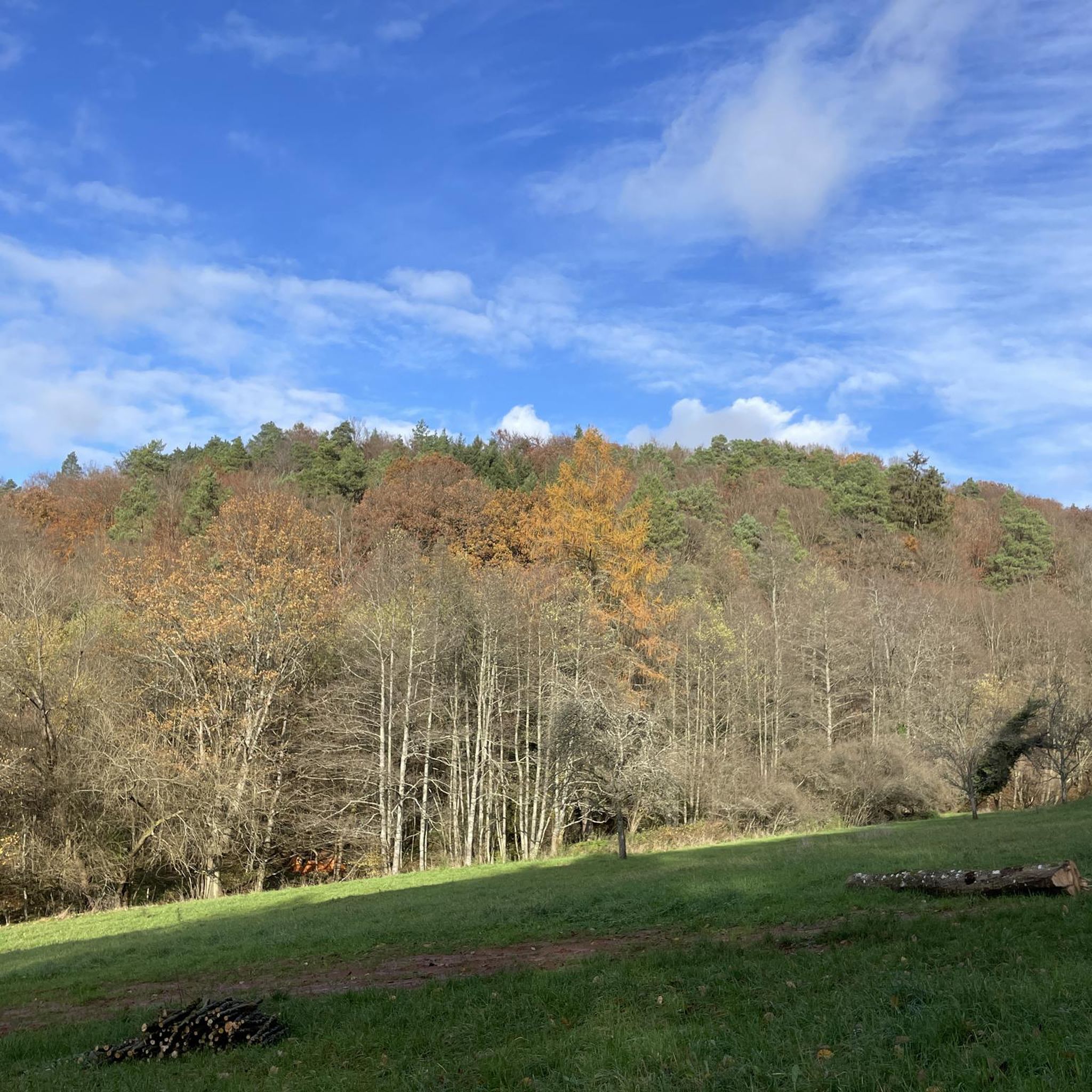
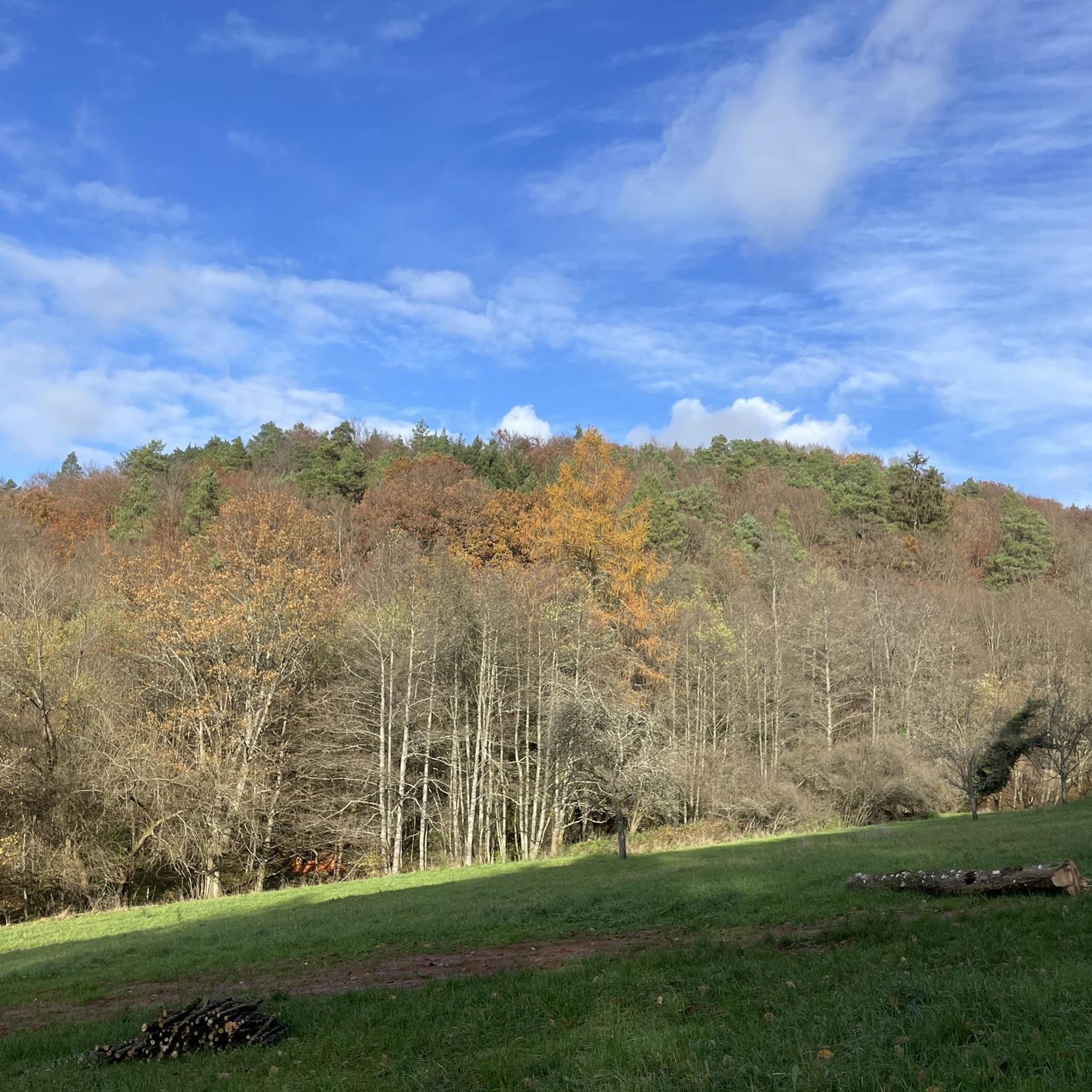
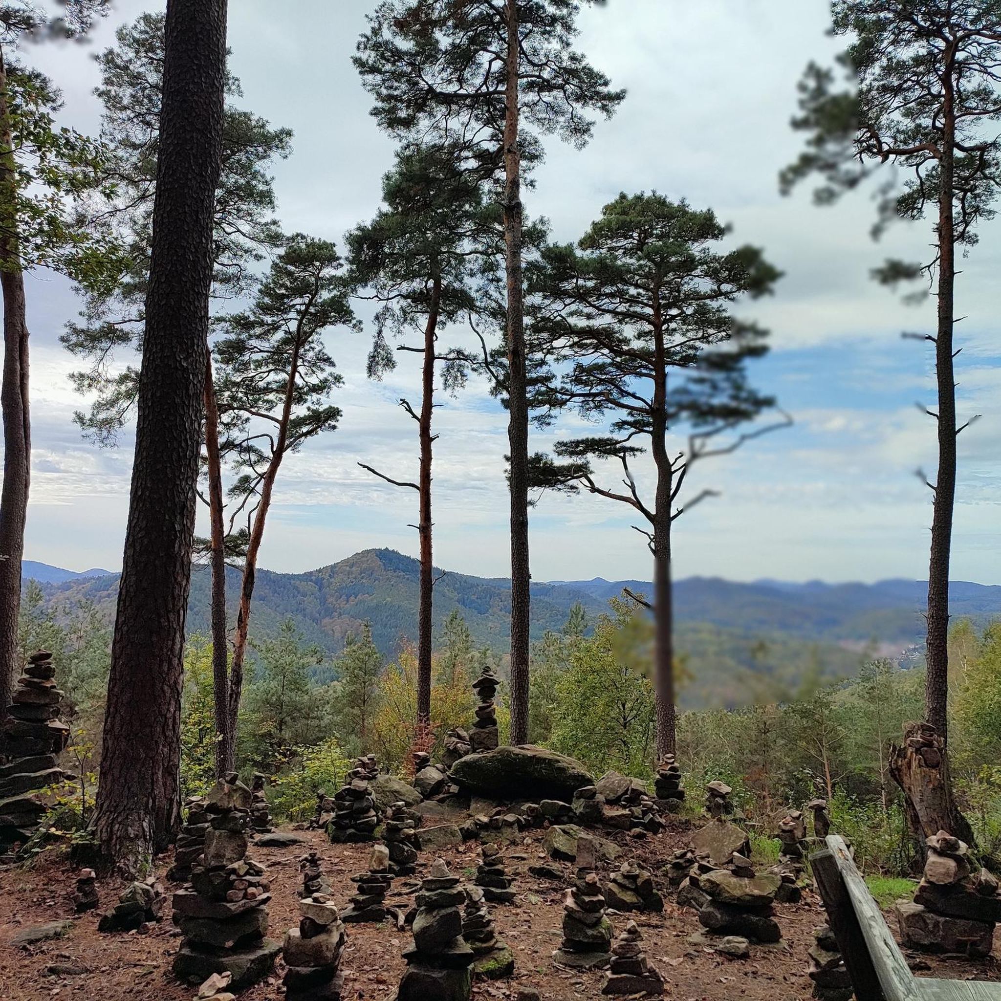

Tips from the Community

From this spot you can see the ruins of Lindelbrunn.
0
0

A bit bumpy from the parking lot, but easily accessible - at least as far as the clearing with the impressive east wall.
3
0

Drachenfels Castle ruins near Busenberg are also worth seeing.
3
0
Beautiful viewpoint of the Hochstein with the soldiers' hut and the viewing platform.
3
0

Great place for a short or long break 😊
2
0

Very nice cycle path that goes to Weißenburg or Wissembourg
0
0

beautiful flowing trail, attention hikers!
1
0

Great view over the Palatinate Forest
0
0
Frequently Asked Questions
How many mountain bike trails are available around Münchweiler am Klingbach?
There are over 470 mountain bike trails in the Münchweiler am Klingbach area, offering a wide range of options for different skill levels and preferences. This extensive network is part of the larger Palatinate Forest, renowned for its diverse mountain biking terrain.
What kind of terrain can I expect on the mountain bike trails in this region?
The terrain around Münchweiler am Klingbach is characterized by picturesque hills, dense beech forests, and unique red sandstone rock formations. You'll find a mix of challenging climbs and descents, as well as enjoyable 'flowy' single trails. The region is part of the Palatinate Forest, which offers varied landscapes from deep woods to sharp ridges.
Are there easy or family-friendly mountain bike trails in Münchweiler am Klingbach?
Yes, the region offers trails suitable for various ability levels, including easier paths. While specific 'family-friendly' routes are not explicitly detailed in the data, the Palatinate Forest generally provides options for beginners. The Klingbach valley itself offers accessible cycling options, and the 'Klingi' nature trail is suitable for families.
What are some challenging mountain bike routes for experienced riders?
For experienced riders seeking a challenge, the region offers routes with significant elevation gain and technical sections. While specific 'difficult' routes are not highlighted, the Palatinate Forest is known for its demanding trails. You can explore routes like the Lindelbrunn Castle Ruins – Kellerfels Rock Arch loop from Silz, which covers 23.4 miles with substantial elevation changes, providing a good test of skill and endurance.
What natural features or landmarks can I see along the mountain bike trails?
The trails wind through impressive natural landscapes and past historical sites. You can encounter unique rock formations like the Kellerfels Rock Arch. The Palatinate Forest also features steep cliffs and sharp ridges. Historic castles such as Landeck Castle and Trifels Castle are often incorporated into longer tours, offering cultural highlights amidst the natural beauty.
Are there circular mountain bike routes available?
Yes, many mountain bike routes in the Münchweiler am Klingbach area are designed as circular loops, allowing you to start and end at the same point. An example is the Karlsplatz Hut – Abtskopf Summit and Shelter loop from Münchweiler am Klingbach, which is a 10.2-mile circular trail through forested hills.
When is the best time of year to go mountain biking in Münchweiler am Klingbach?
The region is generally suitable for mountain biking for much of the year. Spring and autumn offer pleasant temperatures and vibrant scenery, with the beech forests being particularly beautiful. Summer provides longer daylight hours, while winter options might be limited by weather conditions, though some trails remain accessible. Always check local weather before heading out.
What do other mountain bikers enjoy most about the trails in Münchweiler am Klingbach?
The mountain bike trails around Münchweiler am Klingbach are highly rated by the komoot community, with an average score of 4.6 stars from over 2,800 reviews. Riders often praise the diverse terrain, the scenic beauty of the Palatinate Forest, and the mix of challenging and flowy single trails that cater to various skill levels.
Are there any amenities or places to stop for refreshments along the trails?
While specific amenities on every trail are not listed, the region is part of the Southern Wine Route, suggesting that villages and towns like Münchweiler am Klingbach itself will have cafes, pubs, and accommodation. Some routes may pass by huts or facilities, such as the Paddelweiher Hut at Paddelweiher, which is a highlight in the area.
Is parking available for mountain bikers, and can I reach trails by public transport?
Parking is generally available in and around trailheads, especially in towns like Münchweiler am Klingbach and Silz, which serve as starting points for many routes. While specific public transport links to every trailhead are not detailed, the region is accessible, and some routes, like the Klingbach bike route, offer accessible cycling options. It's advisable to check local public transport schedules for specific connections.
Are there any trails that pass by lakes or water features?
Yes, some routes in the broader area will take you past beautiful water features. For example, the Lake Silz – Drachenfels Castle near Busenberg loop from Silz is a moderate 23.8-mile route that includes Lake Silz. Other highlights in the region include Seehofweiher and Paddling Pond, Hauenstein.
Can I bring my dog on the mountain bike trails?
Generally, dogs are permitted on mountain bike trails in the Palatinate Forest, provided they are kept under control, ideally on a leash, and that you clean up after them. It's always good practice to check for any specific local regulations or protected areas that might have stricter rules before you go.
What is the longest mountain bike trail in the area?
Among the listed routes, the Lake Silz – Drachenfels Castle near Busenberg loop from Silz is one of the longer options, covering approximately 23.8 miles (38.3 km). This moderate trail offers a substantial ride through varied landscapes.
Most popular routes around Münchweiler am Klingbach
Most popular attractions around Münchweiler am Klingbach

Get inspired with the komoot mobile app


Explore more
Browse the best MTB trails in other regions.
