The best walks and hikes around Münchweiler am Klingbach
4.6
(30738)
116,191
hikers
1,450
hikes
Hiking around Münchweiler am Klingbach offers diverse terrain characterized by rolling hills, dense forests, and the Klingbach stream. The region features notable sandstone formations and vineyards, providing varied landscapes for outdoor exploration. Trails often lead through the Palatinate Forest Nature Park, with some routes reaching altitudes of 400 to 500 meters. This area provides a range of natural features suitable for different hiking preferences.
Best hiking trails around Münchweiler am Klingbach
- The most popular hiking route is Lindelbrunn Castle Ruins…
Last updated: July 4, 2026
4.8
(185)
590
hikers
21.0km
06:36
660m
660m
Hard hike. Very good fitness required. Mostly accessible paths. Sure-footedness required.
4.7
(35)
104
hikers
26.8km
07:44
550m
550m
Hard hike. Very good fitness required. Mostly accessible paths. Sure-footedness required.

Sign up for free
4.5
(25)
91
hikers
8.98km
02:45
310m
310m
Moderate hike. Good fitness required. Easily-accessible paths. Suitable for all skill levels.
4.6
(8)
30
hikers
Moderate hike. Good fitness required. Easily-accessible paths. Suitable for all skill levels.
4.6
(5)
25
hikers
28.8km
07:53
450m
450m
Hard hike. Very good fitness required. Easily-accessible paths. Suitable for all skill levels.
Get access to more routes and recommendations from other explorers.
Sign up for free
Already have an account?
Our route recommendations are based on thousands of hikes, rides, and runs completed by other people on komoot.
Start today with a free account
Your next adventure awaits.
Login or Signup
Popular around Münchweiler am Klingbach
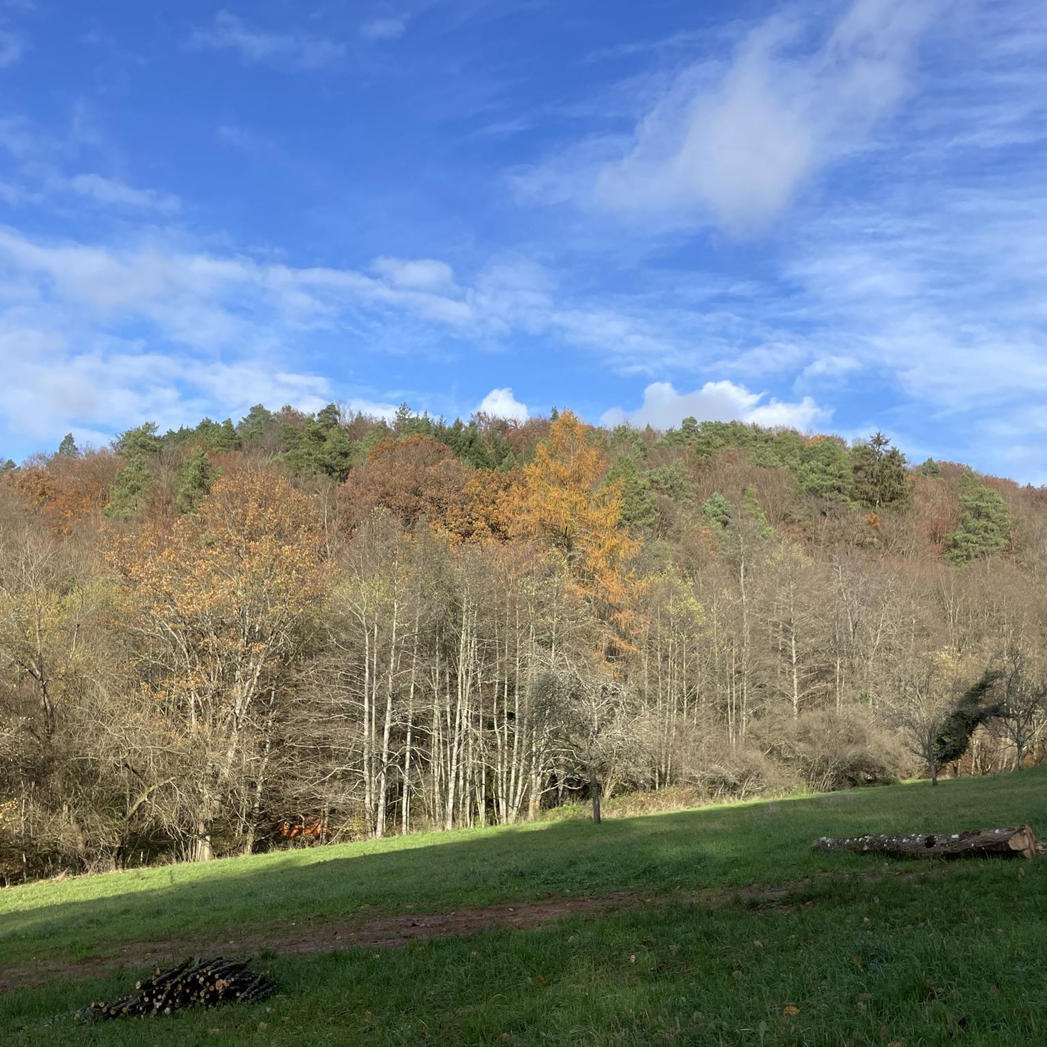
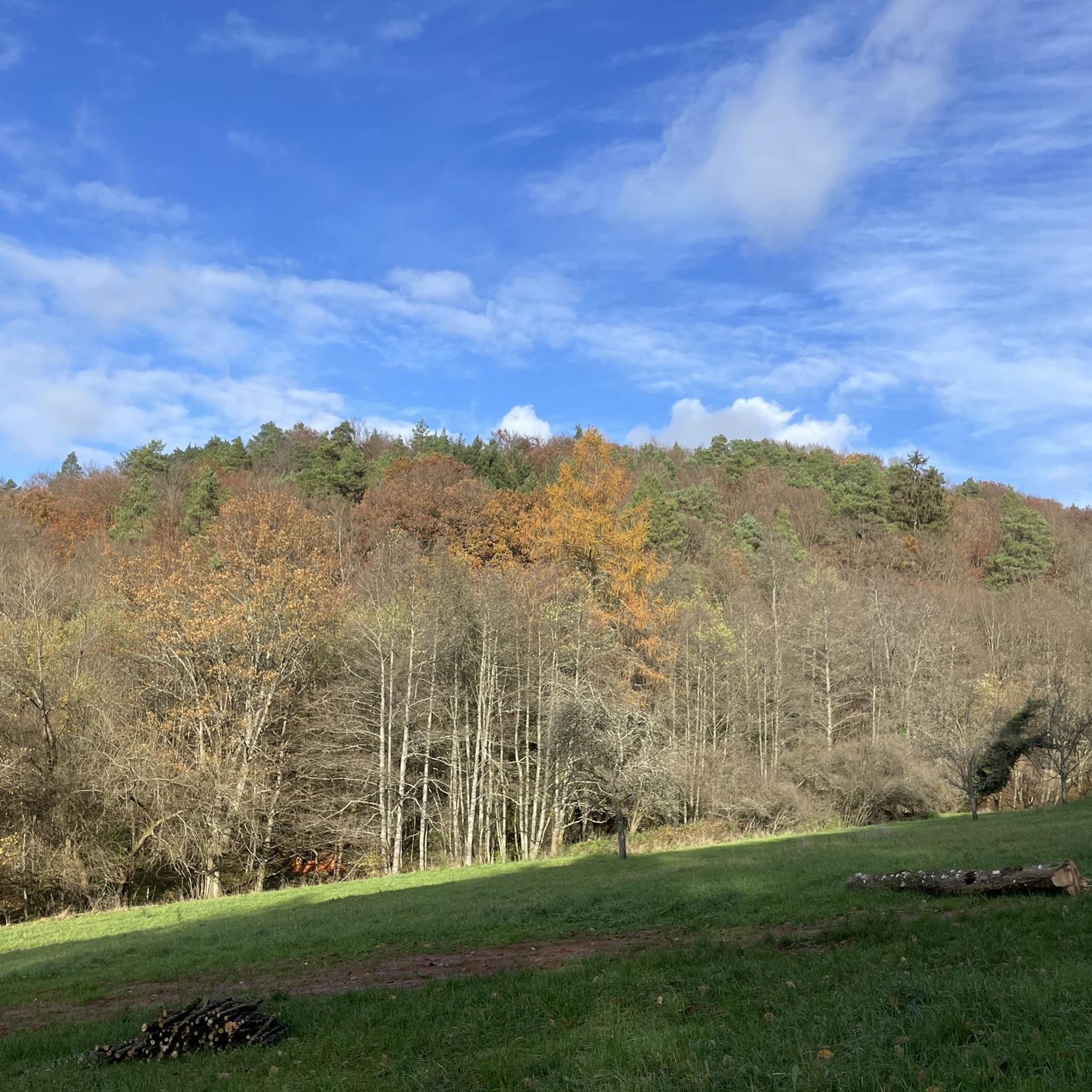
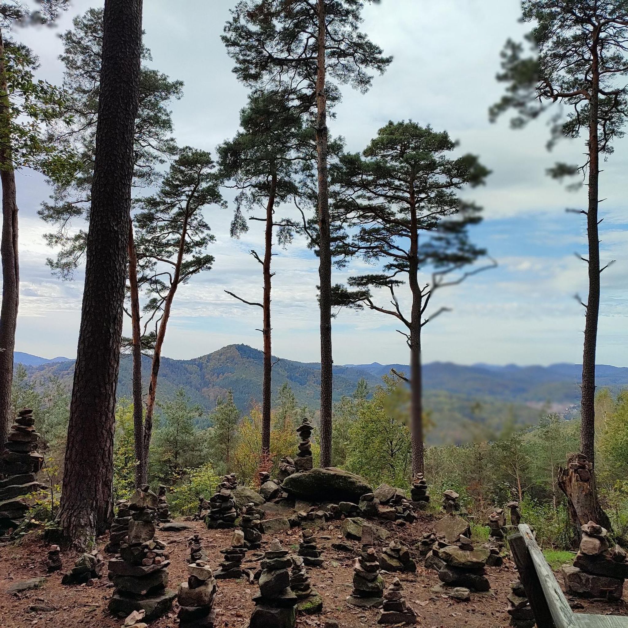
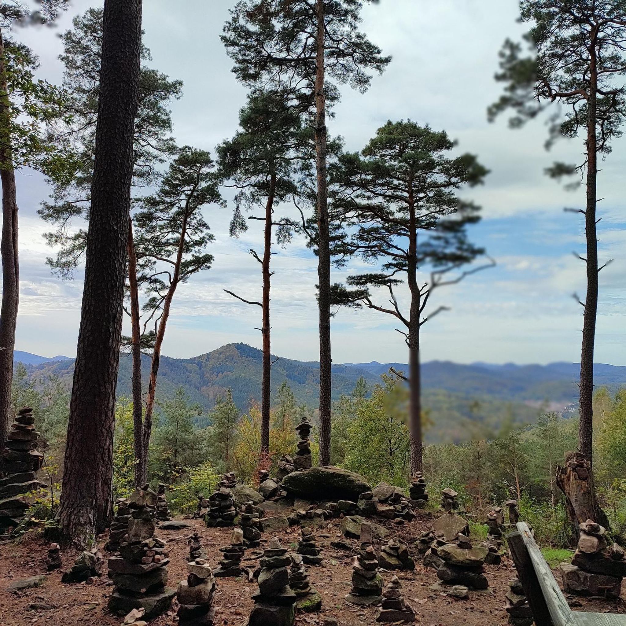

Tips from the Community

The ascent to the Naturfreundehaus. The Naturfreundehaus is unfortunately closed.
0
0

Closed since November 2025. As of May 2026
0
0

The shell is visible at the castle's exit gate
0
0
On sunny days, lizards can often be found on the vertical rock face.
0
0

A bit hidden, only discovered via the Quellenweg.
0
0

Simply a great view. It's nice to linger here. Also good for a break.
1
0
Very nice to look at. There is also a bench here to rest and a great view of the Palatinate mountains.
1
0
Frequently Asked Questions
How many hiking trails are available around Münchweiler am Klingbach?
There are over 1400 hiking routes available around Münchweiler am Klingbach, catering to various skill levels and interests. You'll find a diverse range of options, from easy strolls to more challenging treks.
What kind of terrain can I expect on hikes in Münchweiler am Klingbach?
The terrain around Münchweiler am Klingbach is quite varied, featuring rolling hills, dense forests, and the picturesque Klingbach stream. You'll also encounter impressive sandstone formations, vineyards, and trails that lead through the Palatinate Forest Nature Park, with some reaching altitudes of 400 to 500 meters.
Are there any family-friendly hiking options in the area?
Yes, the region offers family-friendly trails. The 'Klingi' nature trail, for instance, is ideal for families, providing an interactive way for children to learn about local flora and fauna. Many easier routes also follow the Klingbach valley, offering gentle paths suitable for all ages.
What are the best times of year to go hiking in Münchweiler am Klingbach?
The best seasons for hiking in Münchweiler am Klingbach are spring and autumn, when the weather is mild and nature is at its most vibrant with blooming flowers or colorful foliage. Summer also offers pleasant hiking, especially in the shaded forest areas, while winter can provide unique, quiet experiences.
Are there any circular hiking routes available?
Yes, many trails in the region are circular. For example, the Landeck Castle – White Rock Viewpoint loop from Münchweiler am Klingbach is a moderate 9.2 km circular route. The Münchweiler Höhenwanderweg is another challenging 16.5 km circular route that offers varied landscapes and impressive views.
What natural attractions or viewpoints can I discover on the trails?
The trails often lead to impressive natural features. You can find sandstone formations like the mighty Rotenstein and the Altschlossfelsen. The romantic Waschtal boasts a waterfall and the idyllic Annaweiher pond. Many routes, such as the Lindelbrunn Castle Ruins – Kühhungerfelsen Viewpoint loop from Silz, also offer fantastic panoramic views across the Palatinate Forest Nature Park.
Are there any historical sites or castles to see while hiking?
Absolutely. Several tours lead to historic landmarks. You can visit Landeck Castle, which is featured on the Landeck Castle – White Rock Viewpoint loop from Münchweiler am Klingbach. Other routes may pass by Martinsturm and Schlössel ruin, offering insights into the region's history alongside scenic views.
What do other hikers enjoy most about the trails in Münchweiler am Klingbach?
The hiking trails around Münchweiler am Klingbach are highly rated by the komoot community, with an average score of 4.6 stars from over 29,000 reviews. Hikers frequently praise the diverse landscapes, the well-maintained paths through dense forests, and the stunning panoramic views, especially from higher elevations.
Are there any hikes that include a stop for refreshments?
Yes, many routes in the region are designed to include opportunities for refreshments. The Pfälzer Rundwanderung routes, for example, often pass by local establishments where you can stop for a meal or a drink. You can also find huts and cabins like the Hiking home "Dicke Eiche" or the Kiesbuckel Naturefriends House along various trails.
Are there any challenging hikes for experienced trekkers?
For experienced trekkers, the region offers several challenging routes. The Lindelbrunn Castle Ruins – Kellerfels Rock Arch loop from Silz is a difficult 21 km trail with significant elevation gain. The Münchweiler Höhenwanderweg is another challenging 16.5 km circular route known for its varied landscapes and impressive natural monuments.
Can I find trails that lead through vineyards?
Yes, the Southern Wine Route location means that many trails offer opportunities to explore the surrounding vineyards. These paths provide beautiful views of the cultivated landscape and allow hikers to appreciate the traditional winemaking region.
Most popular routes around Münchweiler am Klingbach
Most popular attractions around Münchweiler am Klingbach

Get inspired with the komoot mobile app


Explore more
Browse the best Hikes in other regions.
