The best walks and hikes around Mühlpfad
4.5
(7095)
22,203
hikers
560
hikes
Hiking around Mühlpfad offers diverse landscapes, situated on the edge of the Soonwald forest and between the Nahe and Moselle rivers. The region features lush woodlands, scenic river valleys, and vineyard terraces. Hikers can explore varied terrain, from gentle paths along bubbling brooks to more challenging routes through unspoilt forests and steep slate-covered slopes. The area also includes the idyllic Bärenbachweiher lake, providing additional natural features for exploration.
Best hiking trails in Mühlpfad
- The most popular hiking route is Upper…
Last updated: October 4, 2026
4.6
(173)
610
hikers
15.4km
04:14
250m
250m
Moderate hike. Good fitness required. Mostly accessible paths. Sure-footedness required.
4.5
(16)
73
hikers
6.49km
01:46
100m
100m
Easy hike. Great for any fitness level. Easily-accessible paths. Suitable for all skill levels.

4.8
(6)
19
hikers
4.64km
01:18
100m
100m
Easy hike. Great for any fitness level. Easily-accessible paths. Suitable for all skill levels.
5.0
(3)
20
hikers
5.58km
01:32
90m
90m
Easy hike. Great for any fitness level. Easily-accessible paths. Suitable for all skill levels.
4.5
(31)
82
hikers
Moderate hike. Good fitness required. Easily-accessible paths. Suitable for all skill levels.
Get access to more routes and recommendations from other explorers.
Already have an account?
Our route recommendations are based on thousands of hikes, rides, and runs completed by other people on komoot.
Start today with a free account
Your next adventure awaits.
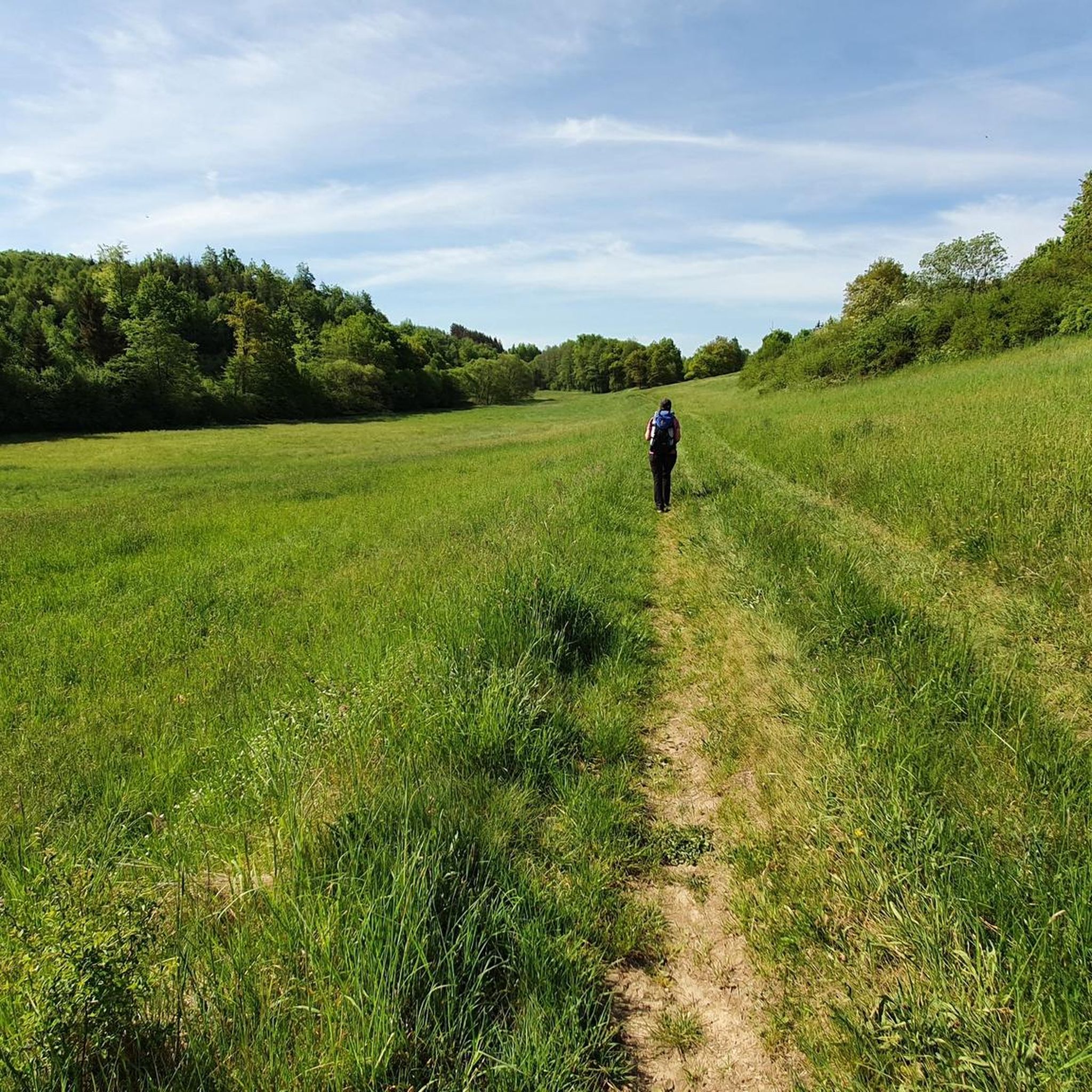
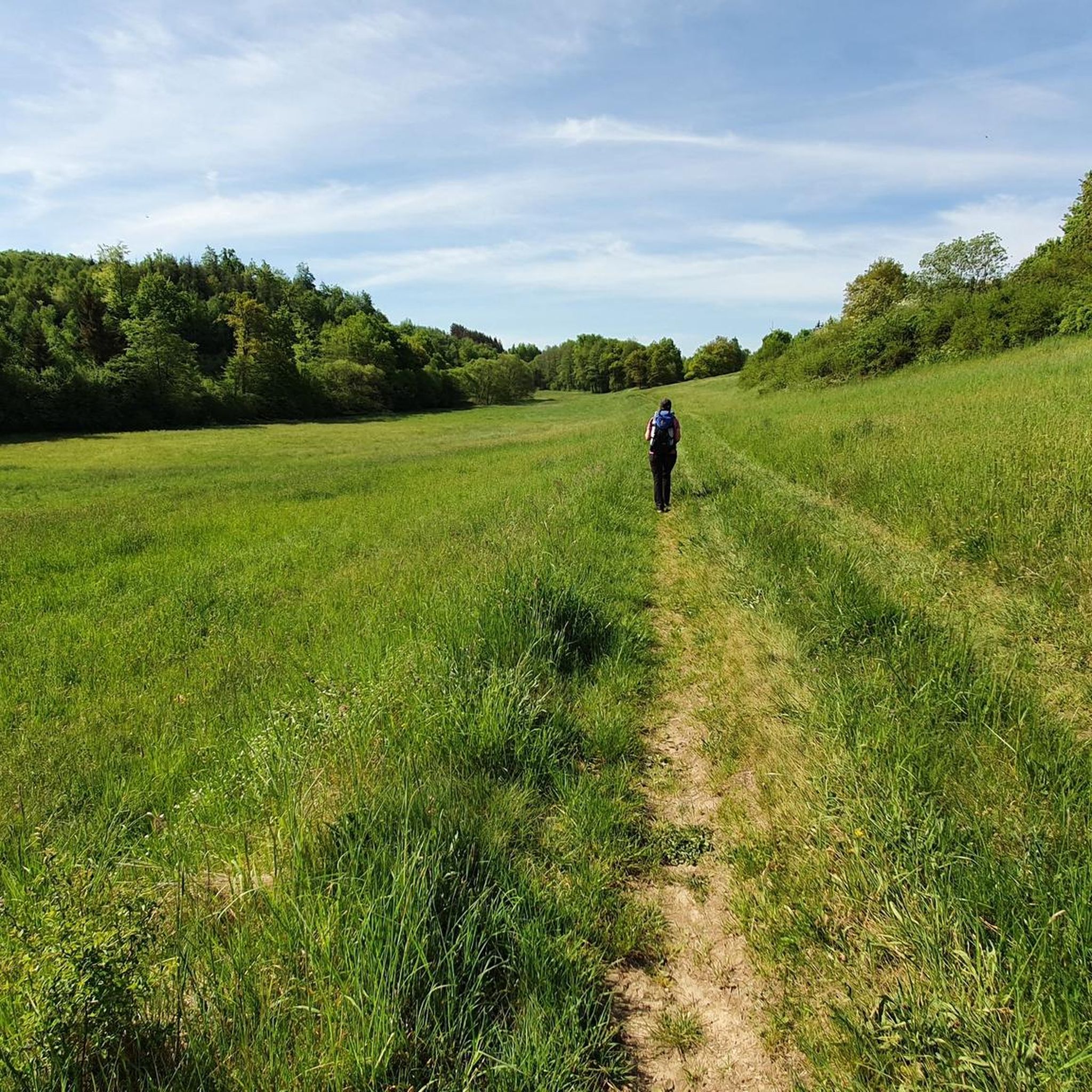
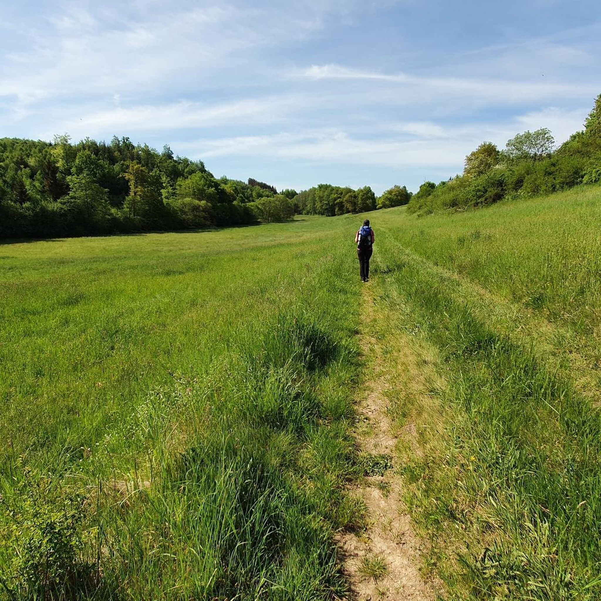
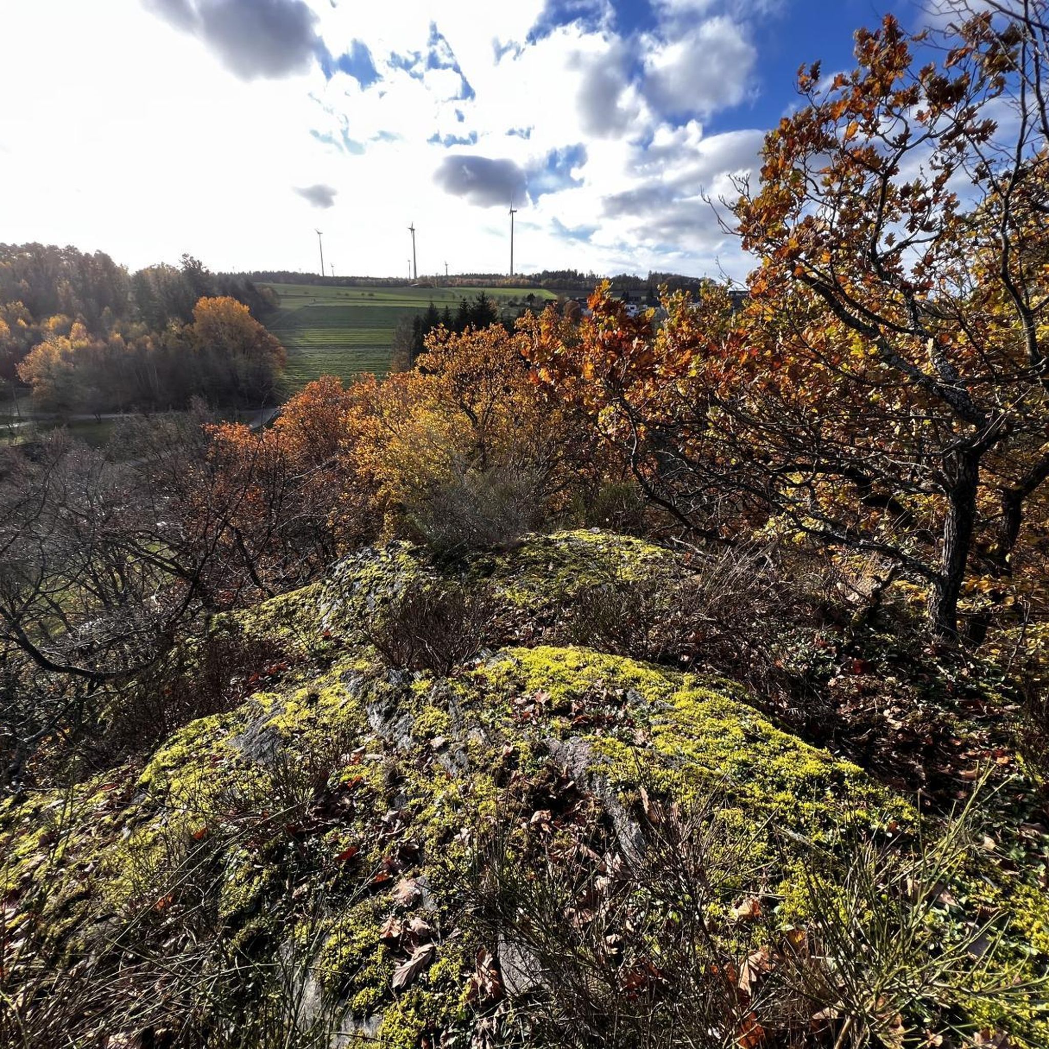
Tips from the Community

Beautiful view with a bench. You can linger there.
0
0

Beautiful stream, great landscape
0
0
A good opportunity to take a break.
0
0

It's worth going there. A magical place.
0
0

Unfortunately, this wonderful piece of art no longer exists; only the bench with the legs remains.
0
0
There is a beautiful stretch of forest below Lingerhahn.
0
0

A rest area with a shelter and other picnic areas—especially suitable for families. Here, you can play in and around the Baybach stream when the weather's nice.
0
0
Frequently Asked Questions
How many hiking trails are available around Mühlpfad?
Mühlpfad offers a wide variety of hiking experiences, with over 550 trails recorded on komoot. This includes routes suitable for all levels, from easy strolls to more challenging treks through the diverse landscapes of the Rhine-Hunsrück district.
What are the difficulty levels of hikes in Mühlpfad?
The trails around Mühlpfad cater to various fitness levels. You'll find approximately 320 easy routes, around 190 moderate trails, and about 40 more difficult hikes. This ensures there's a suitable option whether you're looking for a relaxed walk or a more strenuous adventure.
What kind of landscapes can I expect to see while hiking near Mühlpfad?
Hiking around Mühlpfad offers diverse scenery. You can expect to traverse lush green woodlands, particularly within the Soonwald forest, and explore scenic river valleys along the Nahe and Moselle rivers. Some trails feature picturesque views of sun-drenched vineyard terraces and steep slate-covered slopes, with passages through unspoilt forests and over wooden footbridges crossing bubbling brooks.
Are there any waterfalls I can visit on hikes near Mühlpfad?
Yes, the region around Mühlpfad features several beautiful waterfalls. You might encounter the Baybachklamm Waterfall, the Baybach Waterfall, or the Hundsquelle Waterfall. These natural features often add a refreshing element to your hiking experience.
Can I see any castles or historical landmarks while hiking?
Absolutely. The area is rich in history. You can find trails that offer views of historical sites like the Rauschenburg castle ruins, the Schloss Schöneck, or the Waldeck Castle Ruins. These landmarks provide interesting points of interest along your route.
What do other hikers enjoy most about the trails around Mühlpfad?
The trails around Mühlpfad are highly regarded by the komoot community, boasting an average rating of 4.6 stars from over 6,000 reviews. Hikers frequently praise the varied terrain, from dense woodlands to river valleys, and the well-marked paths that make exploration enjoyable. The region's natural beauty and diverse options for all skill levels are often highlighted.
Are there family-friendly hiking options in Mühlpfad?
Yes, Mühlpfad offers many family-friendly hiking options. Many of the easy and moderate trails are suitable for families, providing gentle paths through forests and along riverbanks. Routes like the Dream Loop Upper Baybach Valley – Kehlenmühle loop from Niedert offer shorter distances and manageable elevation changes, perfect for a family outing.
Are the hiking trails around Mühlpfad dog-friendly?
Many of the natural trails around Mühlpfad are suitable for hiking with dogs. The extensive network of paths through the Soonwald forest and along the river valleys provides ample space for your canine companion to explore. Always remember to keep your dog on a leash where required and respect local wildlife.
Are there circular hiking routes available?
Yes, circular routes are a popular feature in the Mühlpfad area, often referred to as 'dream loops.' These trails are designed to bring you back to your starting point, offering a convenient hiking experience. An example is the Drink Tree Hunsrück – Pfalzfeld Water Tower loop from Hausbay, which is a moderate circular path.
What is the best time of year to go hiking in Mühlpfad?
The best time to visit Mühlpfad for outdoor pursuits is generally from spring to autumn. Spring brings fresh greenery and blooming flora, while autumn showcases vibrant fall foliage, making for particularly picturesque hikes. Summer offers warm weather for longer days on the trails.
Are there trails that follow rivers or streams?
Yes, Mühlpfad is strategically located between the Nahe and Moselle rivers, offering numerous trails that follow their scenic riverine landscapes. You can find routes that wind along the banks of these rivers, and even paths like the Baybach Riverside Trail that feature wooden bridges over bubbling brooks.
What are the parking options for hikers in Mühlpfad?
While specific parking details vary by trailhead, many popular hiking areas and 'dream loops' in the Mühlpfad region typically have designated parking facilities. It's advisable to check the starting point of your chosen route on komoot for detailed information on nearby parking availability.
Most popular attractions around Mühlpfad

Get inspired with the komoot mobile app


Explore more
Browse the best Hikes in other regions.
