The best gravel rides around Mühlpfad
4.6
(12)
73
riders
6
rides
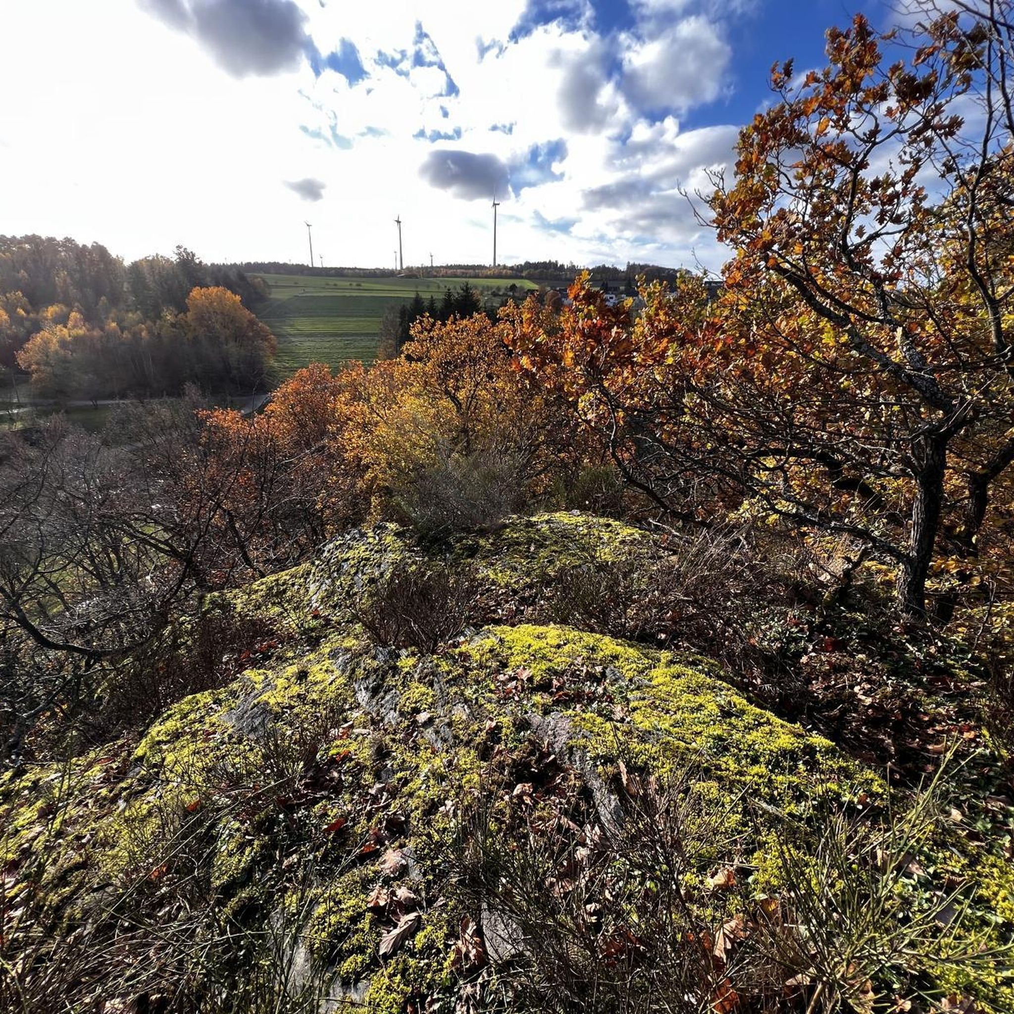
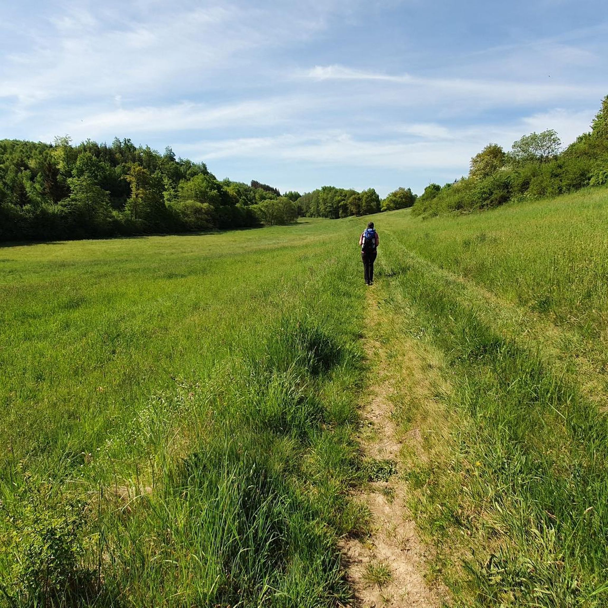
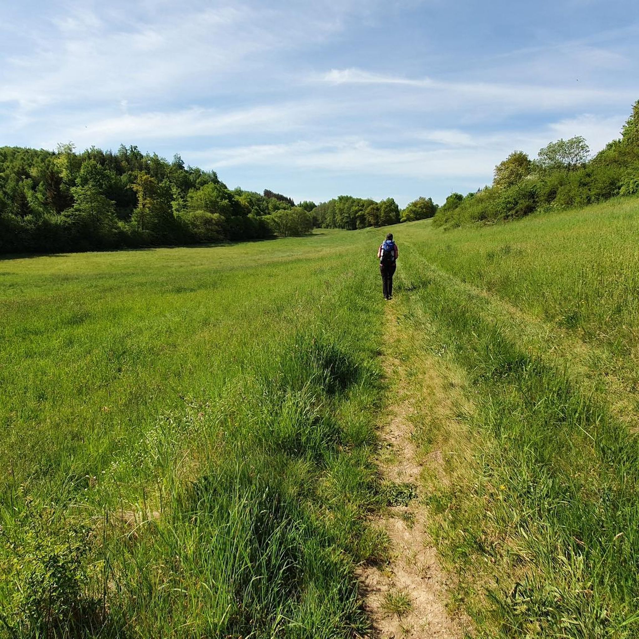
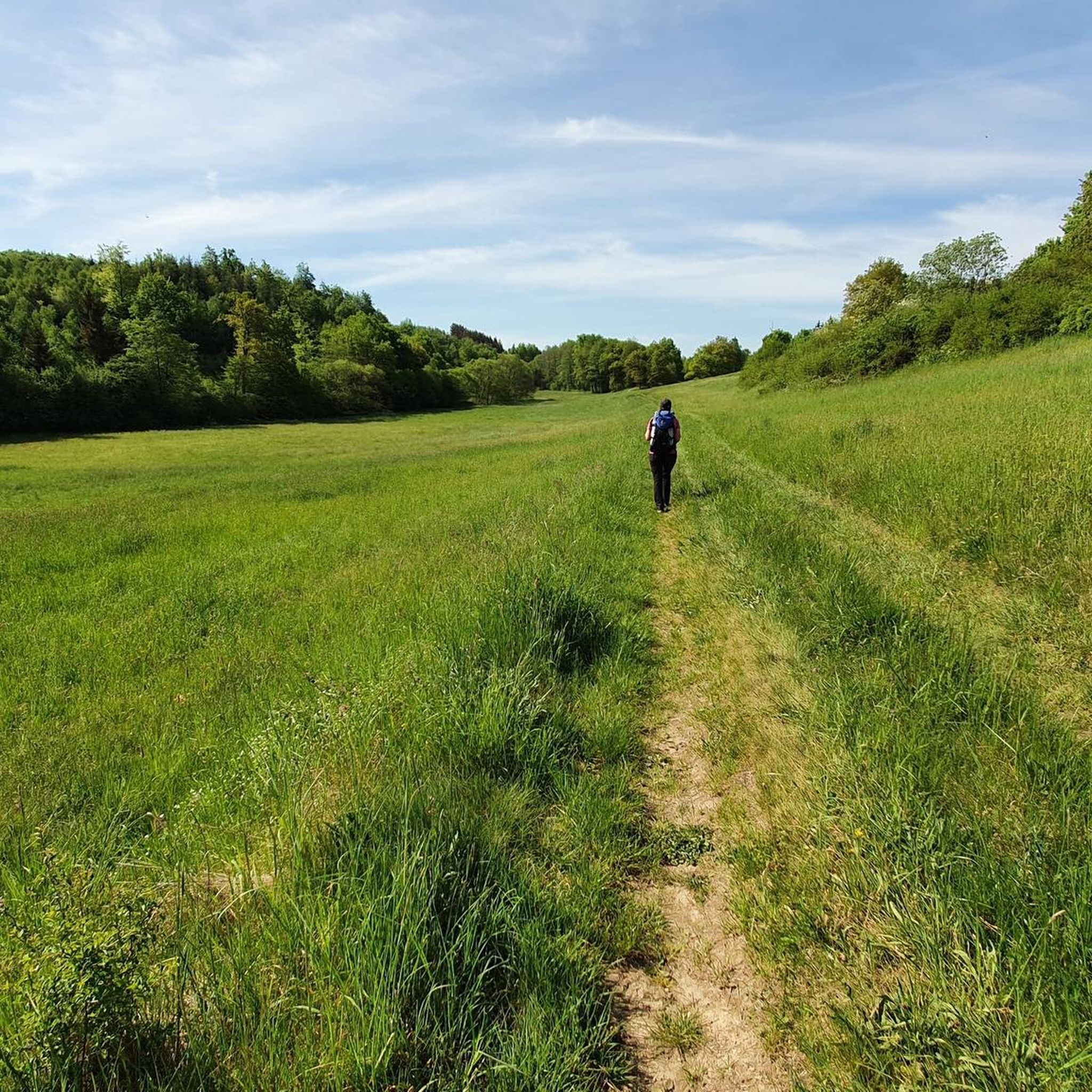
Gravel biking around Mühlpfad offers a diverse landscape within the eastern Hunsrück region, characterized by undulating terrain, rolling hills, and extensive forests. Routes often traverse a mix of open areas and forested sections, incorporating quiet side roads and an extensive network of gravel paths. The area features common elevation changes, providing varied challenges for cyclists, and its proximity to the Rhine and Moselle rivers enhances the scenic variety.
Best gravel bike trails around Mühlpfad
- The most popular gravel bike trail…
Last updated: October 6, 2026
5.0
(2)
14
riders
Moderate gravel ride. Good fitness required. Mostly paved surfaces. Suitable for all skill levels.
4.8
(4)
14
riders
37.2km
02:21
420m
420m
Moderate gravel ride. Good fitness required. Mostly paved surfaces. Suitable for all skill levels.

3.5
(2)
11
riders
Moderate gravel ride. Good fitness required. Mostly paved surfaces. Suitable for all skill levels.
4
riders
18.0km
01:14
380m
380m
Moderate gravel ride. Good fitness required. Mostly paved surfaces. Suitable for all skill levels.
4
riders
39.2km
02:38
530m
520m
Hard gravel ride. Very good fitness required. Mostly paved surfaces. Suitable for all skill levels.
Our route recommendations are based on thousands of hikes, rides, and runs completed by other people on komoot.
Start today with a free account
Your next adventure awaits.
Tips from the Community

The short detour across the bridge is definitely worth it. However, not much is left of the old mill, as there is a well-kept weekend house there today.
0
0

Hunsrücker Rocket Cow at the barn, intended to show the resistance of the Hunsrück people against the stationing of nuclear weapons in 1986
0
0

Very good opportunity to cool down with a refreshing drink on hot days or to eat something delicious
0
0

Great excursion restaurant, and a stop during hiking
0
0

Really a nice little stretch of path. Recommended!
0
0

Nicely laid out, looks nice.
0
0
It's always a pleasure to drive.
0
0

We started in Cochem. Right from the start, the road climbed steeply. Then it descended back into the valley, only to then climb the next mountain again. A real challenge for us flatlanders from the Rhineland. The finish line involved a walk across the Geierlay suspension bridge. Not recommended for those with a fear of heights. We looked for the way back off the road and found it in the forest. The last stretch then led us past the Moselle River again.
5
0
Frequently Asked Questions
How many gravel bike trails are available around Mühlpfad?
There are 15 gravel bike trails around Mühlpfad, offering a diverse range of experiences. These include 1 easy, 7 moderate, and 7 difficult routes, catering to various skill levels.
Are there any easy gravel bike routes suitable for beginners in Mühlpfad?
Yes, Mühlpfad offers one easy gravel bike route. For a moderate option that's still accessible, consider the Pfalzfeld Water Tower – Pfalzfeld station loop from Ehr, which covers 28.3 miles (45.5 km) with moderate climbs and descents.
What are some challenging gravel bike trails for experienced riders in Mühlpfad?
For experienced riders seeking a challenge, the Pfalzfeld station – The Schinderhannes Cycle Path loop from Ehr is a difficult 55.5 miles (89.4 km) path with significant elevation gain. Another demanding option is the Burgen Castle (Moselle) – Hubertus Heights Viewpoint loop from Emmelshausen, a 28.6 miles (46.0 km) trail with varied terrain and views towards the Moselle.
Are there any family-friendly gravel bike paths in the Mühlpfad area?
While specific 'family-friendly' routes aren't explicitly categorized, the region's easy and moderate trails, often utilizing established cycle paths, can be suitable for families. The Horner Castle (Old Ring Wall) – Schmiedel Tunnel (Simmern) loop from Laubach is a moderate 31.7 miles (51.0 km) route that might be manageable for active families.
What kind of scenery can I expect on gravel bike trails around Mühlpfad?
The gravel bike trails around Mühlpfad offer diverse scenery, including undulating terrain, open fields, and forested sections. Many routes connect historic sites like castles and water towers, as well as scenic viewpoints. You'll also find established cycle paths that wind through the local landscape.
Are there any notable landmarks or attractions along the gravel bike routes?
Yes, the region is rich in natural and historical attractions. You might encounter highlights such as the Ehrbachklamm Gorge, the Baybachklamm Waterfall, or the Hundsquelle Waterfall. Some trails also pass by historical structures like castles.
What do other gravel bikers enjoy most about riding in Mühlpfad?
The komoot community highly rates the gravel biking experience in Mühlpfad, with an average score of 4.1 stars from over 20 reviews. Riders often praise the varied terrain, the mix of open and forested sections, and the well-integrated historic sites and scenic viewpoints along the routes.
Are there any loop trails for gravel biking in Mühlpfad?
Many of the gravel bike routes in Mühlpfad are designed as loops. For example, the Geierlay by bike – Cycle Path to Buch loop from Laubach is a moderate 23.0 miles (37.0 km) loop, offering a convenient way to explore the area without retracing your steps.
When is the best time of year for gravel biking in Mühlpfad?
The best time for gravel biking in Mühlpfad is generally from spring through autumn, when the weather is mild and the trails are dry. The region's undulating terrain and mixed surfaces are most enjoyable during these seasons. Winter conditions can bring mud or ice, making some trails more challenging.
Are there options for refreshments or cafe stops along the gravel bike trails?
While specific cafe stops are not detailed for every route, many trails in the Mühlpfad region pass through or near villages and towns. It's advisable to check the route details on komoot or local maps for potential refreshment points before you set out, especially on longer rides.
What are the typical distances and elevation gains for gravel bike trails in Mühlpfad?
Gravel bike trails in Mühlpfad vary significantly. Distances range from around 23 miles (37 km) for routes like the Geierlay by bike – Cycle Path to Buch loop from Laubach, up to 55.5 miles (89.4 km) for more challenging tours such as the Pfalzfeld station – The Schinderhannes Cycle Path loop from Ehr. Elevation gains can range from approximately 300 meters to over 700 meters, reflecting the region's undulating landscape.
Most popular attractions around Mühlpfad

Get inspired with the komoot mobile app


Explore more
Browse the best Gravel rides in other regions.
