The best walks and hikes around Mörfelden-Walldorf
4.6
(675)
3,367
hikers
231
hikes
Hiking trails around Mörfelden-Walldorf are characterized by a varied landscape, including extensive municipal forests, wetlands, and open fields. The region features significant natural areas such as the Mönchbruch Nature Park and the Kühkopf-Knoblochsaue Nature Reserve. Trails often lead through these protected environments, offering flat terrain with minimal elevation gain. The artificial hill of Oberwaldberg, at 145 meters, provides a local high point.
Best hiking trails around Mörfelden-Walldorf
- The most popular hiking route is Mönchbruch Avenue – Mönchbruch Nature Reserve loop…
Last updated: August 24, 2026
4.6
(83)
291
hikers
Moderate hike. Good fitness required. Easily-accessible paths. Suitable for all skill levels.
4.6
(44)
158
hikers
5.51km
01:26
30m
30m
Easy hike. Great for any fitness level. Easily-accessible paths. Suitable for all skill levels.

Sign up for free
4.7
(49)
157
hikers
7.62km
01:58
40m
40m
Easy hike. Great for any fitness level. Easily-accessible paths. Suitable for all skill levels.
4.8
(28)
101
hikers
7.01km
01:49
40m
40m
Easy hike. Great for any fitness level. Easily-accessible paths. Suitable for all skill levels.
4.5
(27)
128
hikers
Moderate hike. Good fitness required. Easily-accessible paths. Suitable for all skill levels.
Get access to more routes and recommendations from other explorers.
Sign up for free
Already have an account?
Our route recommendations are based on thousands of hikes, rides, and runs completed by other people on komoot.
Start today with a free account
Your next adventure awaits.
Login or Signup
Popular around Mörfelden-Walldorf

Into the countryside! — hike with Germany’s Rhine-Main Transport Network
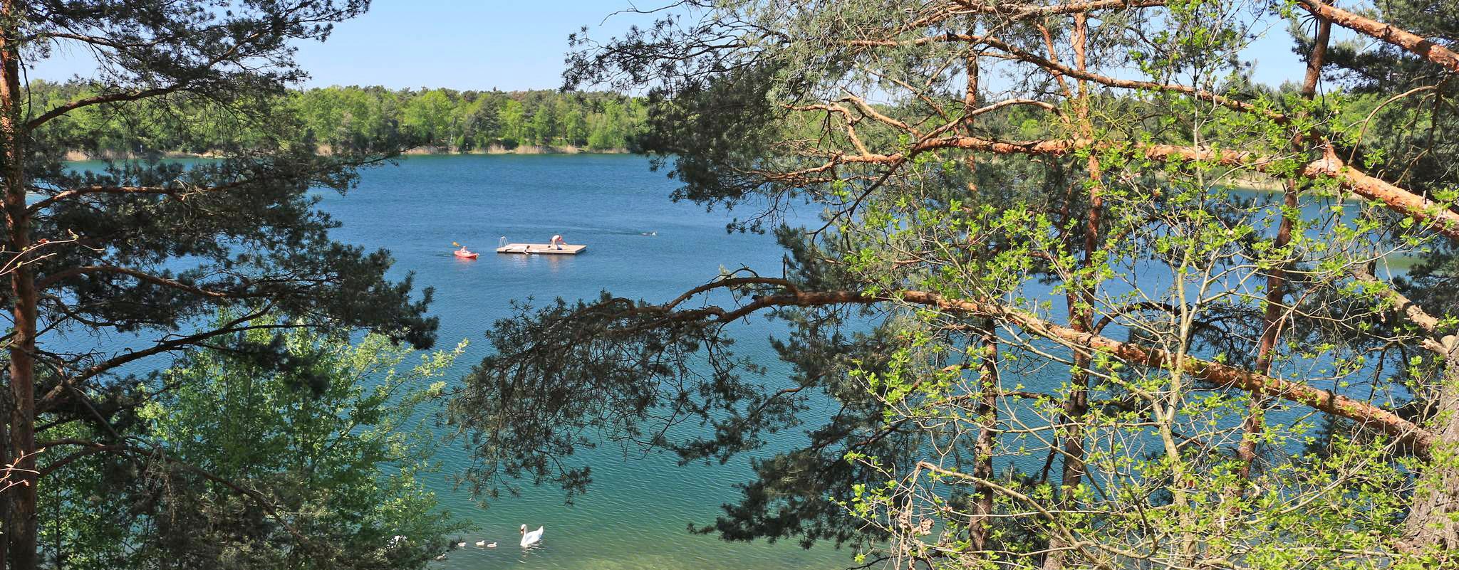
The most popular swimming lakes in Hesse
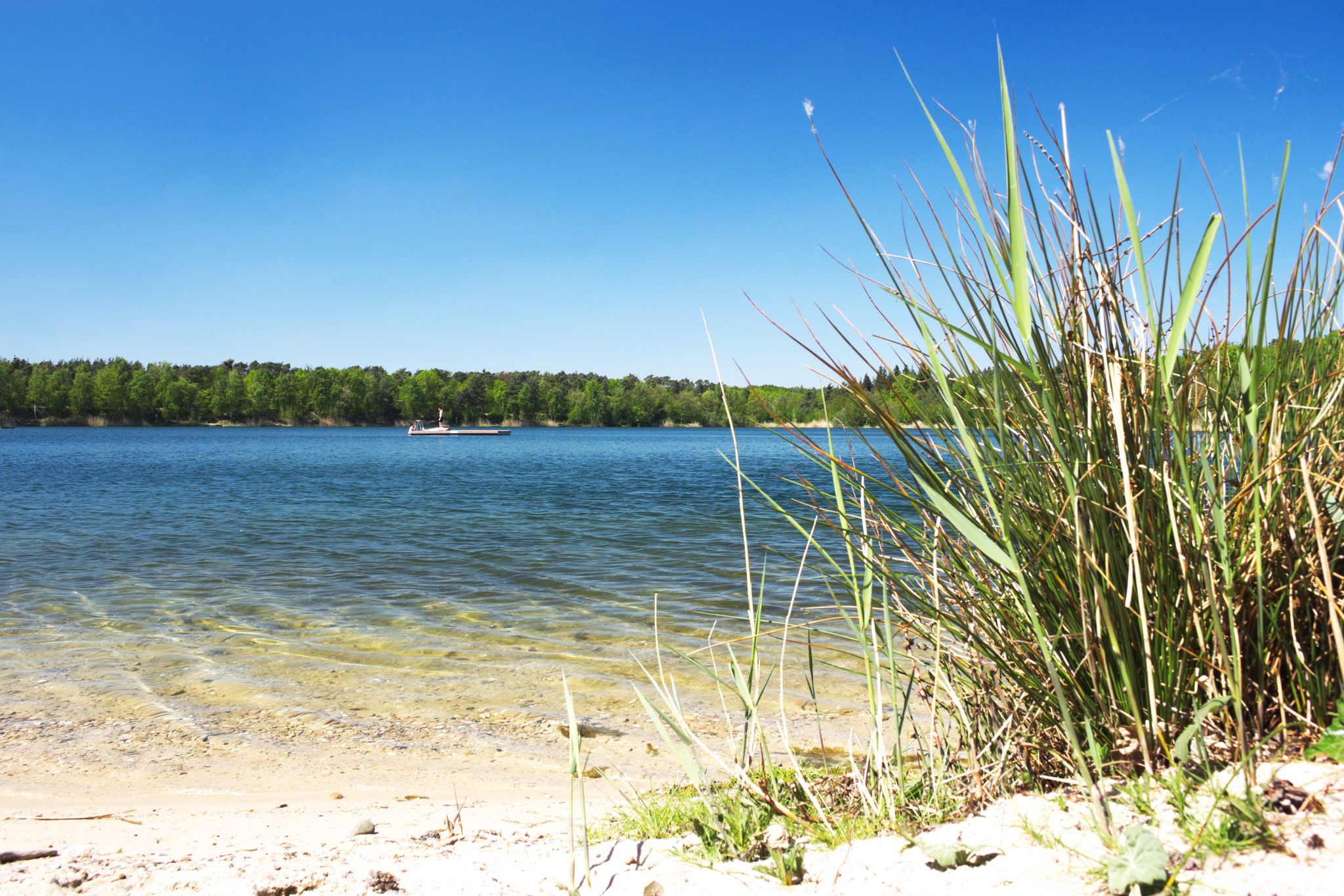
The best swimming lakes around Frankfurt

Adlerrouten – Mit dem Rad zum Waldstadion
Cycling around Mörfelden-Walldorf
Road Cycling Routes around Mörfelden-Walldorf
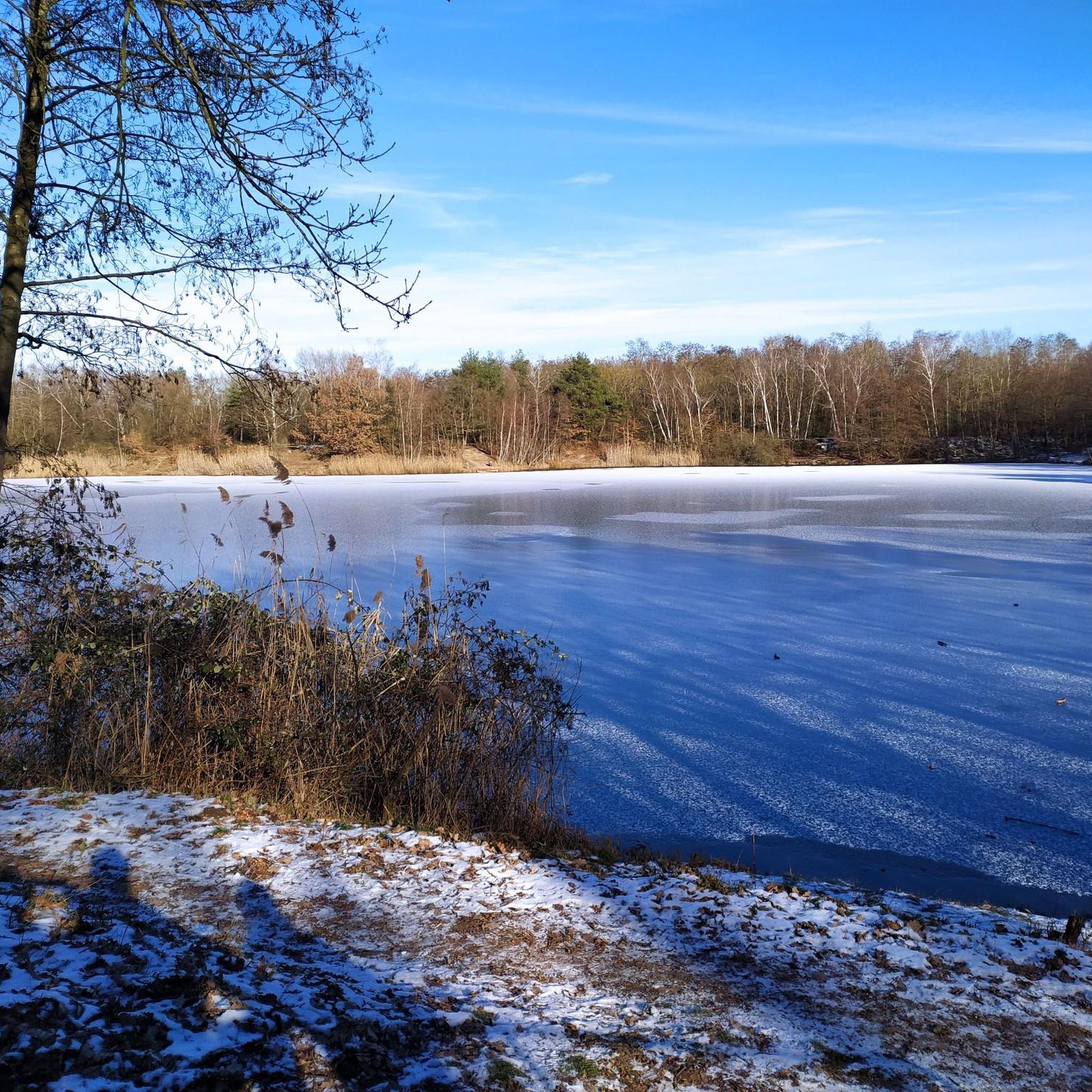
Running Trails around Mörfelden-Walldorf
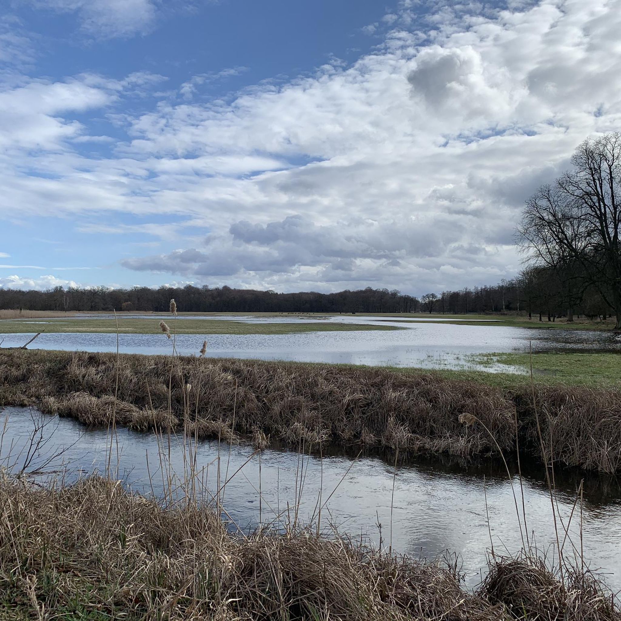
MTB Trails around Mörfelden-Walldorf
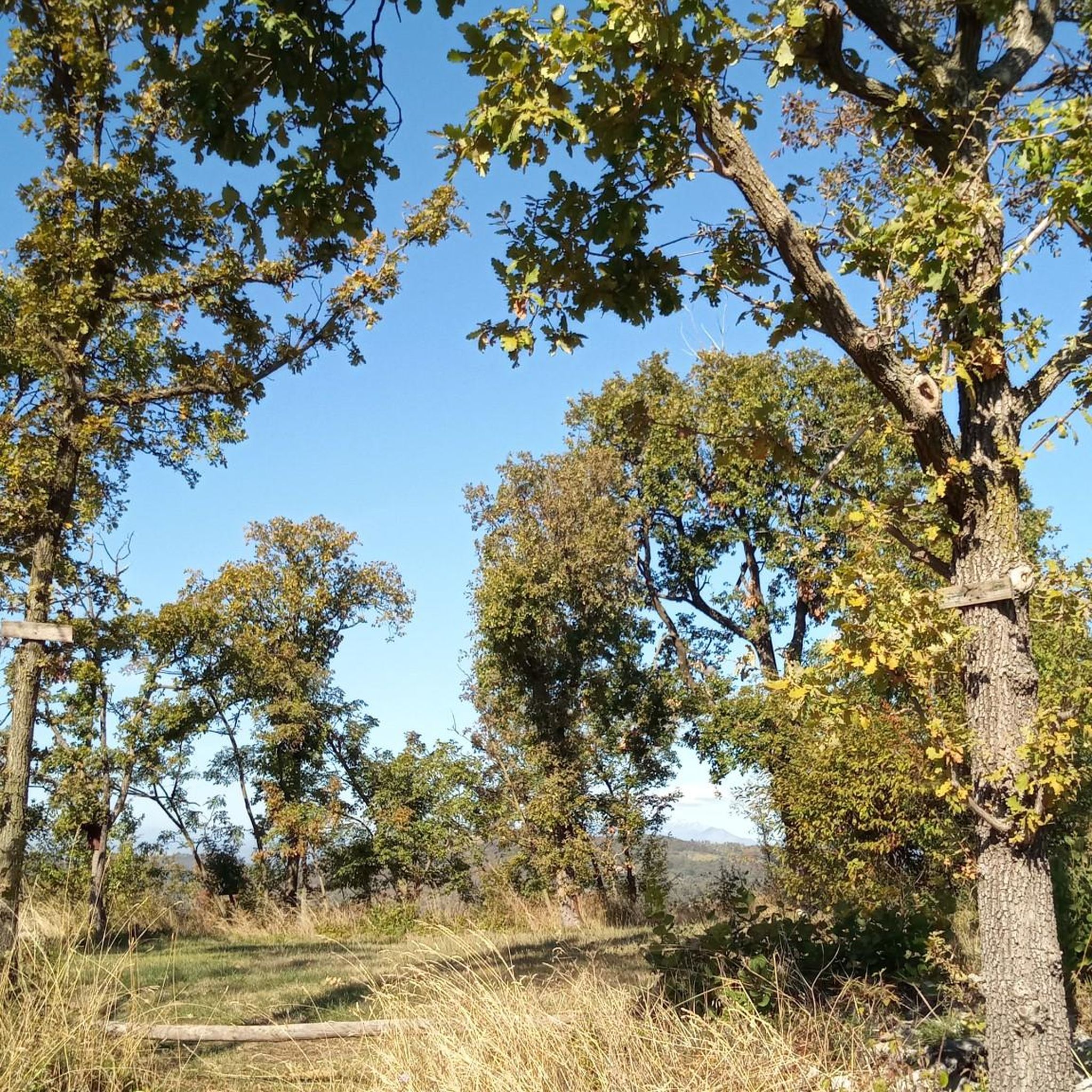
Gravel biking around Mörfelden-Walldorf
Other adventures around Mörfelden-Walldorf


Tips from the Community

Wonderful view over the meadows here.
1
0
From here you have a wonderful view all the way to Frankfurt.
1
0

Straight along the west runway. Better in the morning. From midday onwards, it's sunny.
0
0

Beautiful avenue with a viewing tower at the end. Depending on the season, you have a different experience through the trees.
1
0

The forest nature trail in the protected forest south of the district “An den Eichen” describes the forest habitat on various panels. Herb beds have been planted, various natural stones have been set up and there is a small barefoot path. The ecosystems created are explained at a pond and a pile of stones. It is also noteworthy that in the storage shed of the forester's house, which is located on the nature trail, not only are tools stored, but bats have also nested there.
0
0
The Oberwaldsee, like all lakes in the region, was formed from gravel pits. Sand and gravel of various grain sizes are the most important mineral resources in our area. They occur in pure and purified form. They also represent an important purification filter for our groundwater. Where mining is no longer worthwhile, the lakes are recultivated and, like the Oberwaldsee and the Anglersee, serve the population as a natural and recreational area.
4
0


Beautiful nature reserve with many attractions
2
0
Frequently Asked Questions
How many hiking trails are there in Mörfelden-Walldorf?
Mörfelden-Walldorf offers over 230 hiking trails, catering to a wide range of preferences and fitness levels. These routes explore diverse landscapes, from dense forests to wetlands and open fields.
What is the best time of year to go hiking in Mörfelden-Walldorf?
The best seasons for hiking in Mörfelden-Walldorf are spring and autumn. During these times, temperatures are mild, and nature is either blooming with vibrant colors or displaying rich autumnal hues, making for particularly scenic walks.
Are there any easy hiking trails suitable for beginners or families?
Yes, Mörfelden-Walldorf has many easy trails perfect for beginners or families. For example, the View of Oberwaldsee – View of Oberwaldsee loop from Walldorf is an easy 7.6 km path offering pleasant views of the Oberwaldsee. Another great option is the View of Oberwaldsee – Biotope pond with water lilies loop from Mörfelden-Walldorf, which is just under 5 km and suitable for any fitness level.
What kind of terrain can I expect on the hiking trails?
The hiking trails in Mörfelden-Walldorf are characterized by varied terrain, including extensive municipal forests, wetlands, and open fields. Many routes feature flat terrain with minimal elevation gain, making them accessible for most hikers. The region is part of the Rhine-Main area, offering a mix of natural landscapes.
Are there any circular hiking routes in Mörfelden-Walldorf?
Yes, many trails in Mörfelden-Walldorf are designed as circular routes, allowing you to start and end at the same point. A popular example is the View of Oberwaldsee – Schnepfensee loop from Mörfelden, an easy 6.9 km route that takes you around the scenic Oberwaldsee and Schnepfensee.
What natural features or landmarks can I see while hiking?
Hikers can explore diverse natural features, including the unique wetlands of the Mönchbruch Nature Park and the extensive municipal forest. The Oberwaldberg, the highest point in the Groß-Gerau district, offers panoramic views. You can also discover the Mönchbruch Hunting Lodge, a historical site within the nature reserve, or enjoy the tranquil Backhaus Pond at Kranichstein Hunting Lodge.
Are the hiking trails in Mörfelden-Walldorf dog-friendly?
Many of the trails in Mörfelden-Walldorf are dog-friendly, especially those through the municipal forest and open fields. It's always recommended to keep dogs on a leash, particularly in nature reserves like Mönchbruch Nature Park, to protect wildlife and ensure a pleasant experience for all visitors.
What do other hikers enjoy most about hiking in Mörfelden-Walldorf?
The hiking routes in Mörfelden-Walldorf are highly rated by the komoot community, with an average score of 4.6 stars from over 500 reviews. Hikers often praise the varied landscape, the well-maintained paths, and the peaceful atmosphere found within the region's forests and nature reserves.
Are there any trails that offer views of the Rhine River?
Yes, the Kühkopf-Knoblochsaue Nature Reserve, located on the western side of Mörfelden-Walldorf, features the 'Waldrandweg' (forest edge trail). This trail offers relaxing walks and provides breathtaking views of the Rhine River.
Can I access hiking trails using public transport in Mörfelden-Walldorf?
Mörfelden-Walldorf is well-connected within the Rhine-Main region, and many trailheads are accessible via public transport. The town itself serves as a good starting point, with local bus and train services connecting to various parts of the surrounding natural areas. It's advisable to check local transport schedules for specific route access.
Are there any specific nature reserves worth exploring?
Absolutely. The Mönchbruch Nature Park is a significant wetland area known for its unique flora and fauna, including diverse bird species. Another notable reserve is the Kühkopf-Knoblochsaue Nature Reserve, rich in plant and animal diversity, offering trails with views of the Rhine.
Most popular routes around Mörfelden-Walldorf
Most popular attractions around Mörfelden-Walldorf

Get inspired with the komoot mobile app


Explore more
Browse the best Hikes in other regions.
