The best walks and hikes around Mezzovico-Vira
4.5
(3407)
21,122
hikers
585
hikes
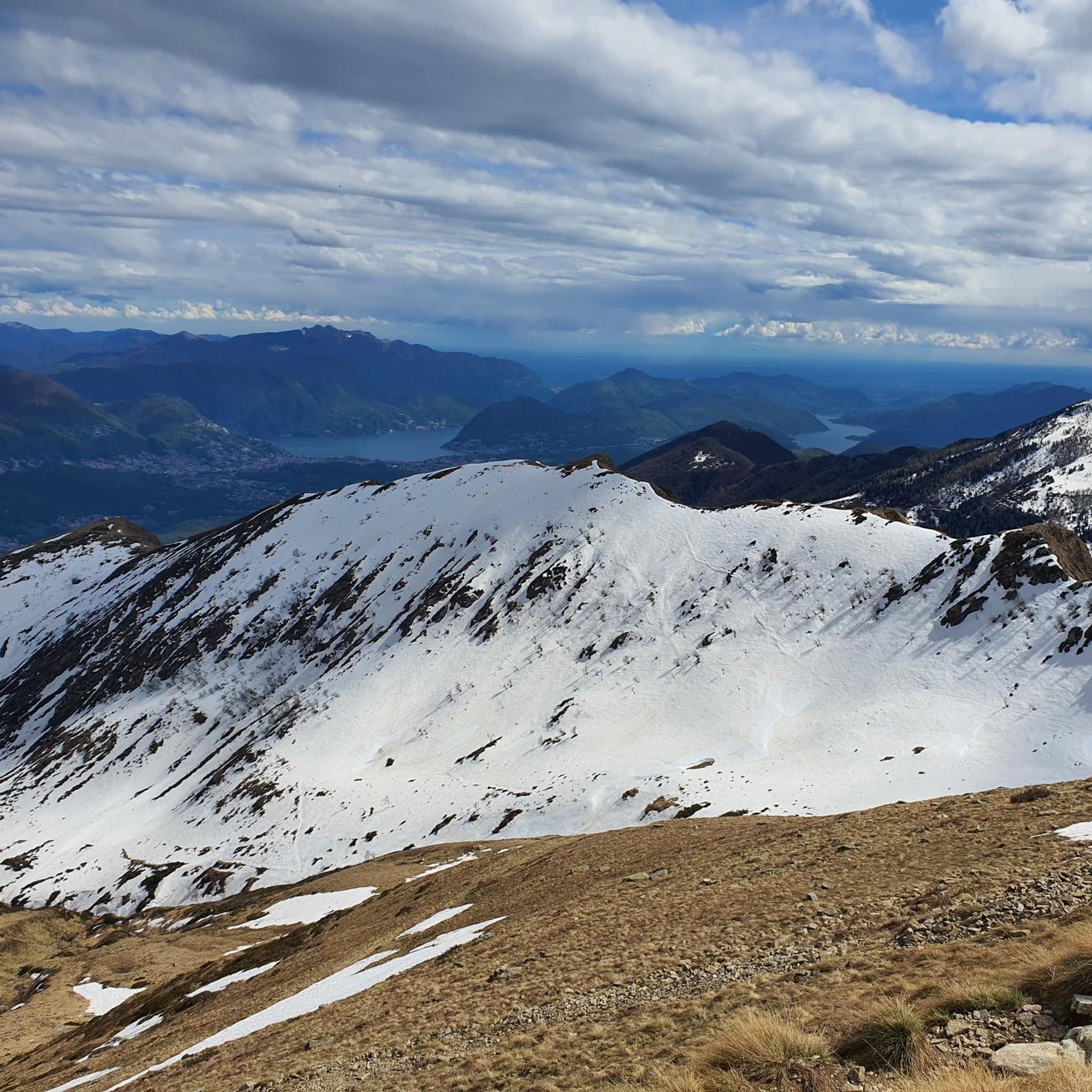
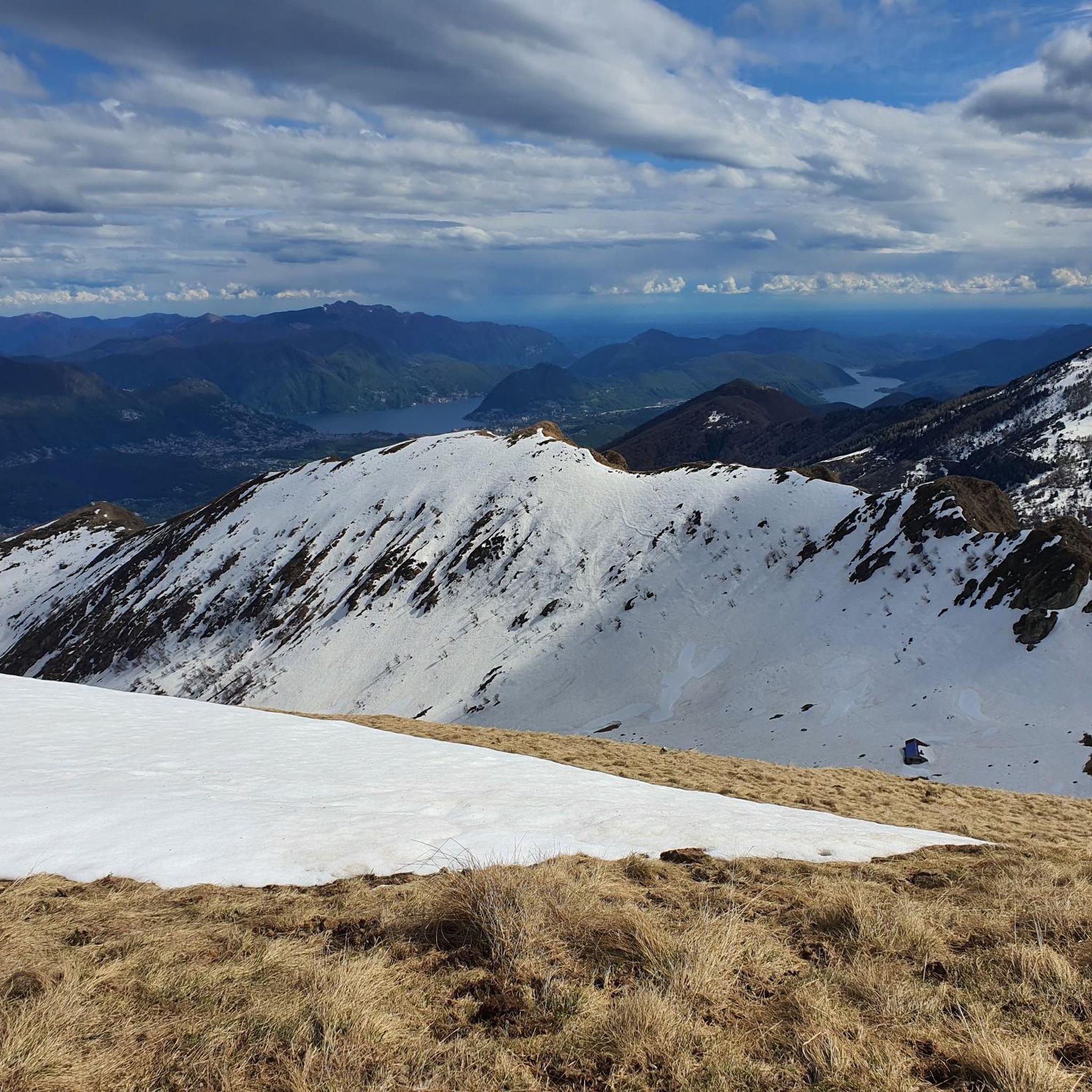
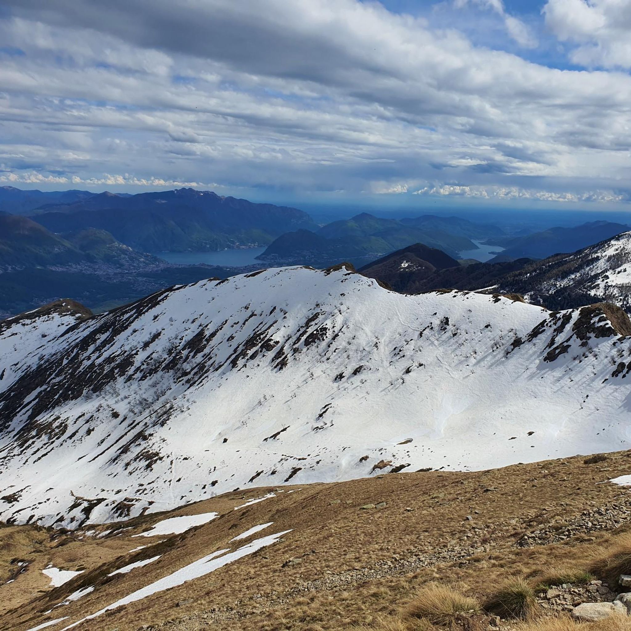
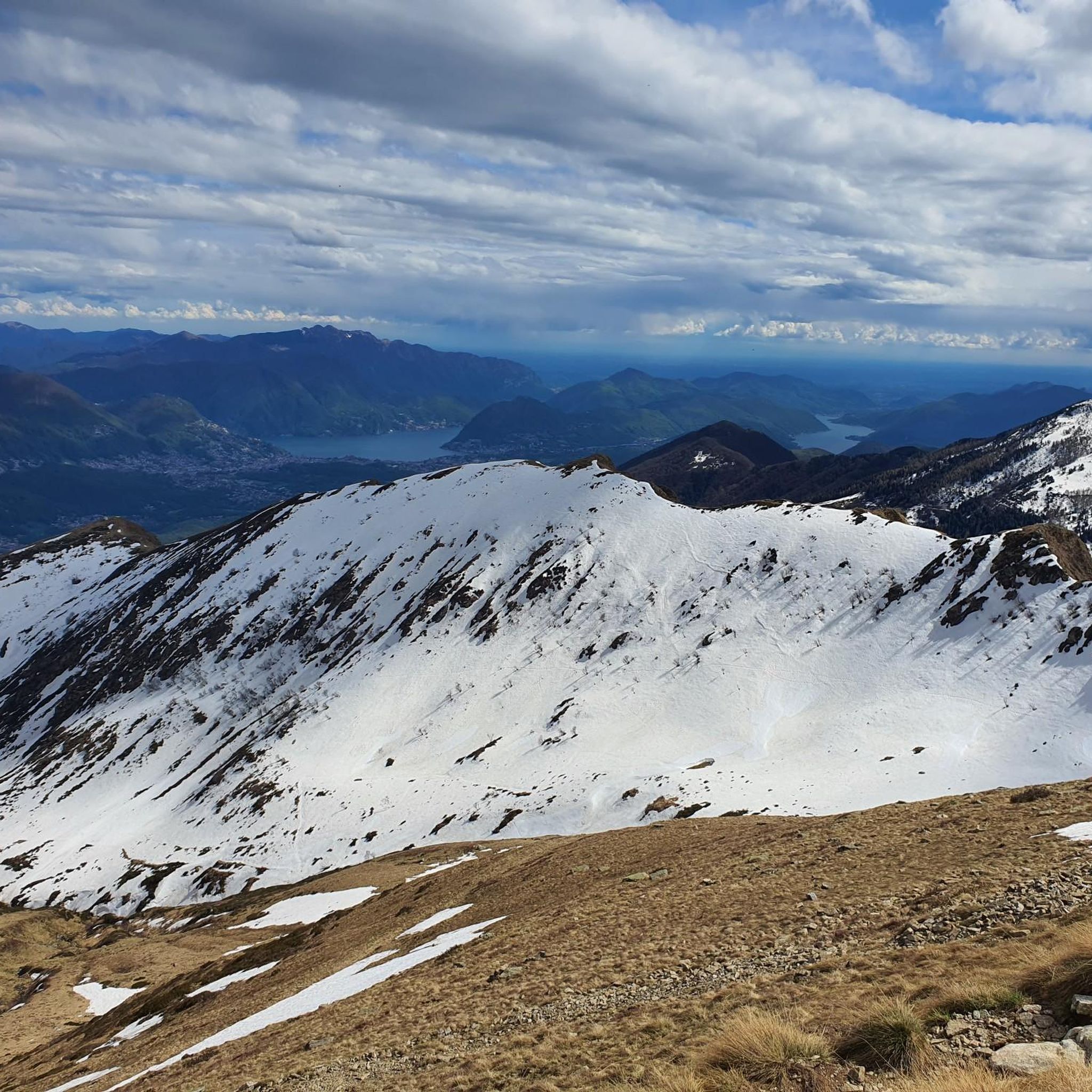
Hiking around Mezzovico-Vira, located in Switzerland's Ticino canton, offers diverse landscapes characterized by significant forested areas, with 65.5% of its land covered by woodlands. The region features impressive mountainous terrain, including Monte Tamaro at 1,960 meters and Cima di Medeglia at 1,260 meters, providing panoramic views. Proximity to major lakes like Lago Maggiore and Lake Lugano further defines the area's natural appeal.
Best hiking trails around Mezzovico-Vira
- The most popular hiking route is Tour of Monte Tamaro Trail, a…
Last updated: October 2, 2026
4.8
(44)
232
hikers
9.58km
04:08
610m
620m
Moderate hike. Good fitness required. Mostly accessible paths. Sure-footedness required.
4.2
(13)
53
hikers
7.99km
03:13
480m
490m
Moderate hike. Good fitness required. Mostly accessible paths. Sure-footedness required.

5.0
(4)
29
hikers
15.8km
06:28
1,040m
1,040m
Hard hike. Very good fitness required. Mostly accessible paths. Sure-footedness required.
15.9km
06:24
1,000m
1,000m
Hard hike. Very good fitness required. Mostly accessible paths. Sure-footedness required.
14
hikers
17.3km
07:52
1,310m
1,300m
Hard hike. Very good fitness required. Mostly accessible paths. Sure-footedness required.
Get access to more routes and recommendations from other explorers.
Already have an account?
Our route recommendations are based on thousands of hikes, rides, and runs completed by other people on komoot.
Start today with a free account
Your next adventure awaits.
Tips from the Community

30 min of effort but always with caution
0
0
road where a willy jeep passed but it deserves concentration and balance ... even with battery the muscles are stressed ... in the end a barrier for ongoing works forces you to get off and push the bike 50 meters on a steep path, arrival at the refuge is impressive ... wonderful view and very kind ;-)
0
0

Why is this tour called Höhenweg Monte Tamaro – Monte Lema? The ridge trail is not suitable for mountain bikes and is also forbidden. Mostly you have to push or carry.
0
0

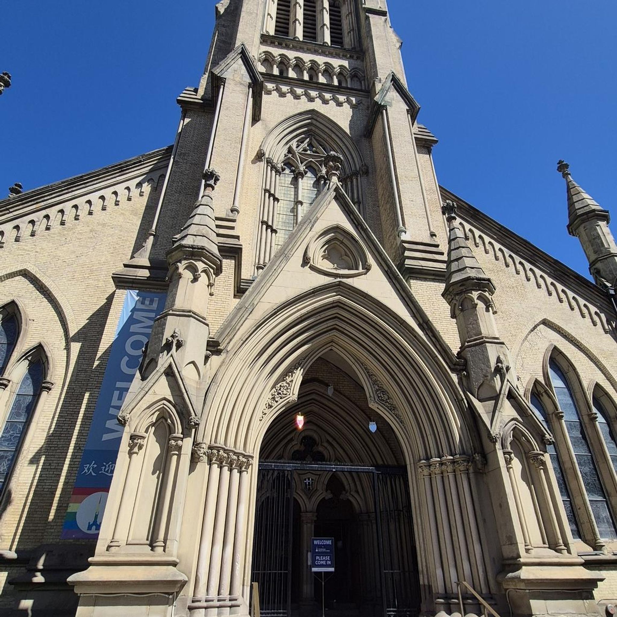
The Santa Maria degli Angeli is an impressive chapel on the Alpe Foppa above Rivera. Designed by the renowned architect Mario Botta, it combines modern architecture with spiritual tranquility. A striking footbridge leads spectacularly to the building, opening up views of the Ticino mountain landscape. Inside, intensely colorful works by the artist Enzo Cucchi are impressive. The chapel is a popular destination for hikers and culture enthusiasts. It uniquely combines nature, art, and contemplation and is one of the architectural highlights in Ticino.
4
0

Soresina is a nucleus with several picturesque and interesting corners
0
0

you can get there without a MTB
0
4
Please use MTB, otherwise it will be harder
0
2

Frequently Asked Questions
How many hiking trails are available around Mezzovico-Vira?
There are over 600 hiking trails around Mezzovico-Vira, catering to various skill levels from easy walks to challenging mountaineering routes.
What types of landscapes can I expect to see while hiking in Mezzovico-Vira?
The region is characterized by impressive mountainous terrain, extensive chestnut forests, and proximity to major lakes like Lago Maggiore and Lake Lugano. You'll find diverse trails through dense woodlands, leading to panoramic viewpoints and along lake shores.
What do other hikers enjoy most about the trails in Mezzovico-Vira?
The routes in Mezzovico-Vira are highly rated by the komoot community, with an average score of 4.5 stars from over 2,800 reviews. Hikers often praise the diverse terrain, panoramic views from peaks like Monte Tamaro, and the extensive network of trails through beautiful forests.
Are there easy hiking options suitable for beginners or casual walkers?
Yes, Mezzovico-Vira offers over 150 easy hiking routes. These include easily accessible paths suitable for all skill levels, allowing you to enjoy the region's natural beauty without strenuous effort.
Are there any challenging long-distance hikes in the area?
For those seeking a challenge, Mezzovico-Vira has over 130 difficult routes. A notable option is the Lake Lugano Trail, a 9.8 miles (15.8 km) route that takes about 6 hours 28 minutes to complete, offering varied terrain and significant elevation changes.
Can I find circular hiking routes around Mezzovico-Vira?
Yes, many trails in the region are designed as loop tours. For example, the Path Alpe Duragno – loop tour is a moderate 5.0 miles (8.0 km) path that winds through the characteristic hilly landscapes and forests, bringing you back to your starting point.
What are the best trails for panoramic views in Mezzovico-Vira?
For breathtaking panoramic views, consider routes that ascend to peaks like Monte Tamaro or Cima di Medeglia. The Tour of Monte Tamaro Trail offers expansive vistas, and from Monte Tamaro, you can often see both Lago Maggiore and Dufourspitze on a clear day.
Are there any waterfalls or gorges to explore near Mezzovico-Vira?
Yes, the region features several natural attractions including gorges. You can explore highlights like the Franscinone Gorge and Historic Ruins or the Cugnasco Gorge. There's also a specific highlight for a View of the Waterfall and Canyon.
What other interesting landmarks or attractions can I visit while hiking?
Beyond the trails, you can visit significant landmarks such as Monte Tamaro for its summit views or the Cima di Medeglia Summit Cross. The Lakeside Marina of Tenero on Lake Maggiore also offers a pleasant spot to enjoy the mountain panorama.
Is Mezzovico-Vira a good destination for family-friendly hikes?
Yes, with over 150 easy routes, Mezzovico-Vira offers many options suitable for families. The diverse trail network includes accessible paths through forests and along lake shores, providing enjoyable experiences for all ages.
What is the best season for hiking in Mezzovico-Vira?
The region is generally excellent for outdoor activities, particularly hiking, from spring through autumn. The extensive forests and mountainous terrain offer pleasant conditions. While some trails might be suitable for winter, it's always advisable to check local conditions for snow and ice, especially at higher altitudes.
Are there refreshment stops or huts along the hiking trails?
While specific refreshment stops are not detailed for every route, the region research mentions Alpe Cedullo as a beautiful and comfortable descent point from Monte Gambarogno, offering a pleasant stop for hikers. Many trails in Switzerland often have mountain huts or grottoes where you can find refreshments.
Is it possible to reach hiking trailheads using public transport in Mezzovico-Vira?
Mezzovico-Vira is located in Switzerland's Ticino canton, a region generally well-served by public transport. While specific bus or train connections to every trailhead are not detailed here, it's common for Swiss hiking regions to have public transport options to access popular starting points. We recommend checking local transport schedules for specific routes.
Most popular routes around Mezzovico-Vira
Most popular attractions around Mezzovico-Vira

Get inspired with the komoot mobile app


Explore more
Browse the best Hikes in other regions.
