The best mountain hikes around Mezzovico-Vira
5.0
(5)
30
hikers
5
hikes
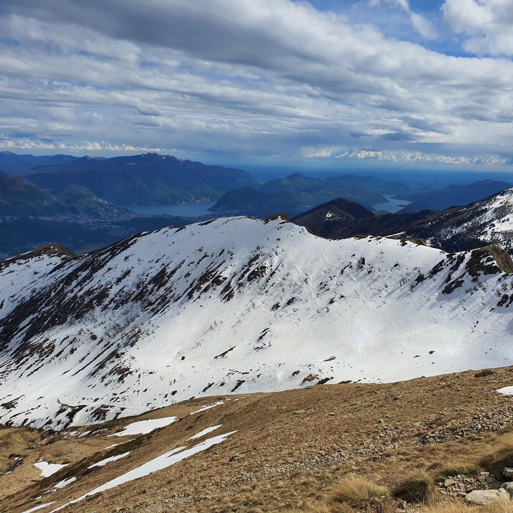
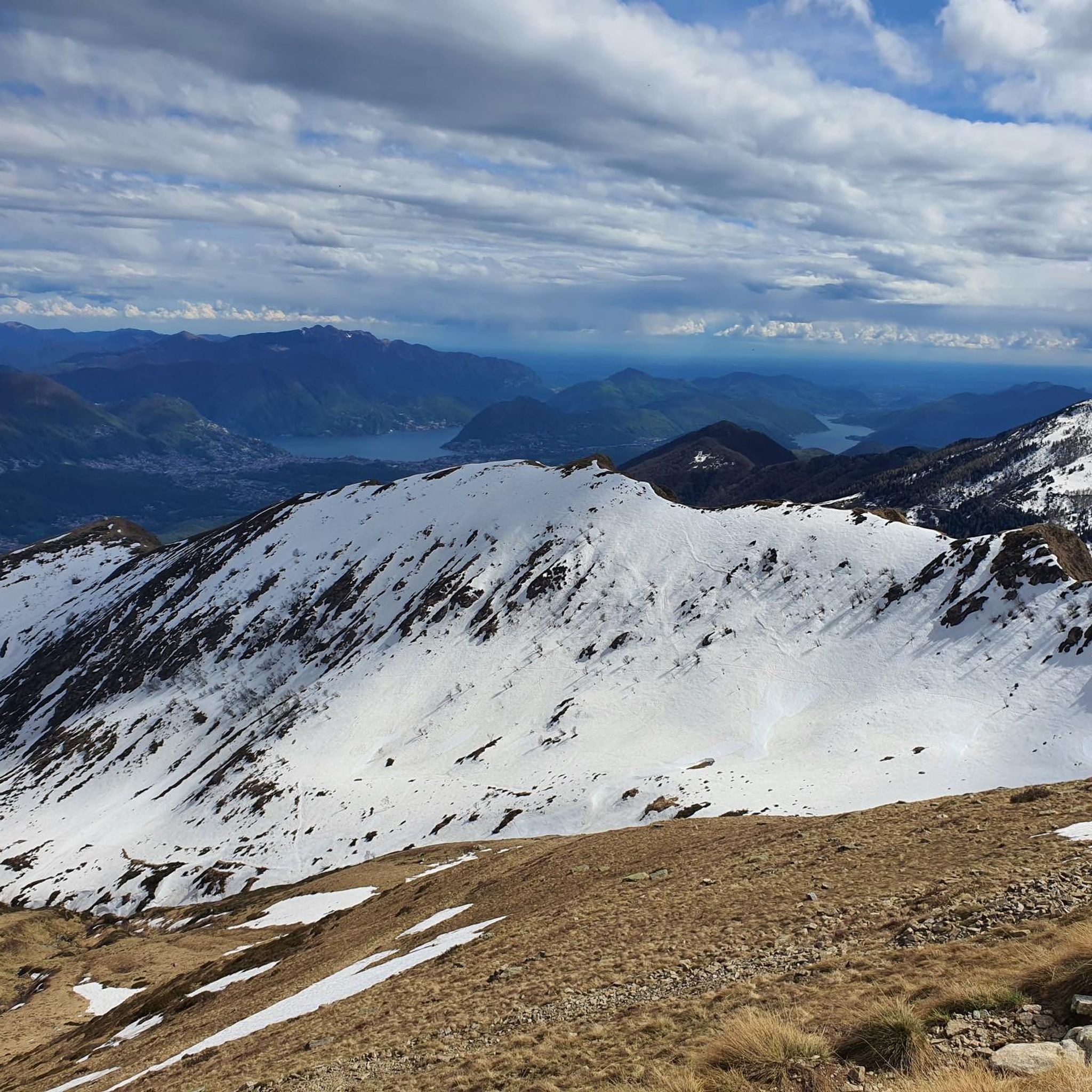
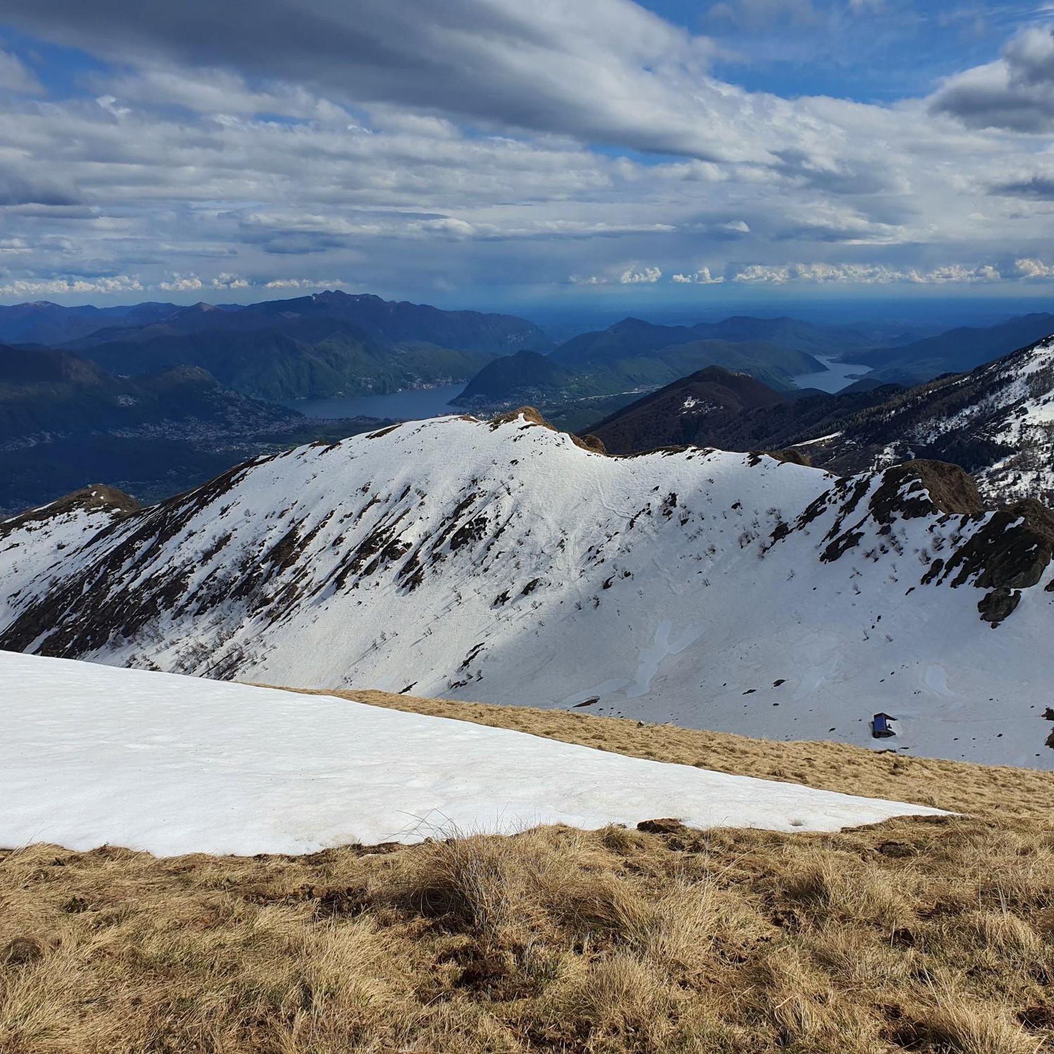
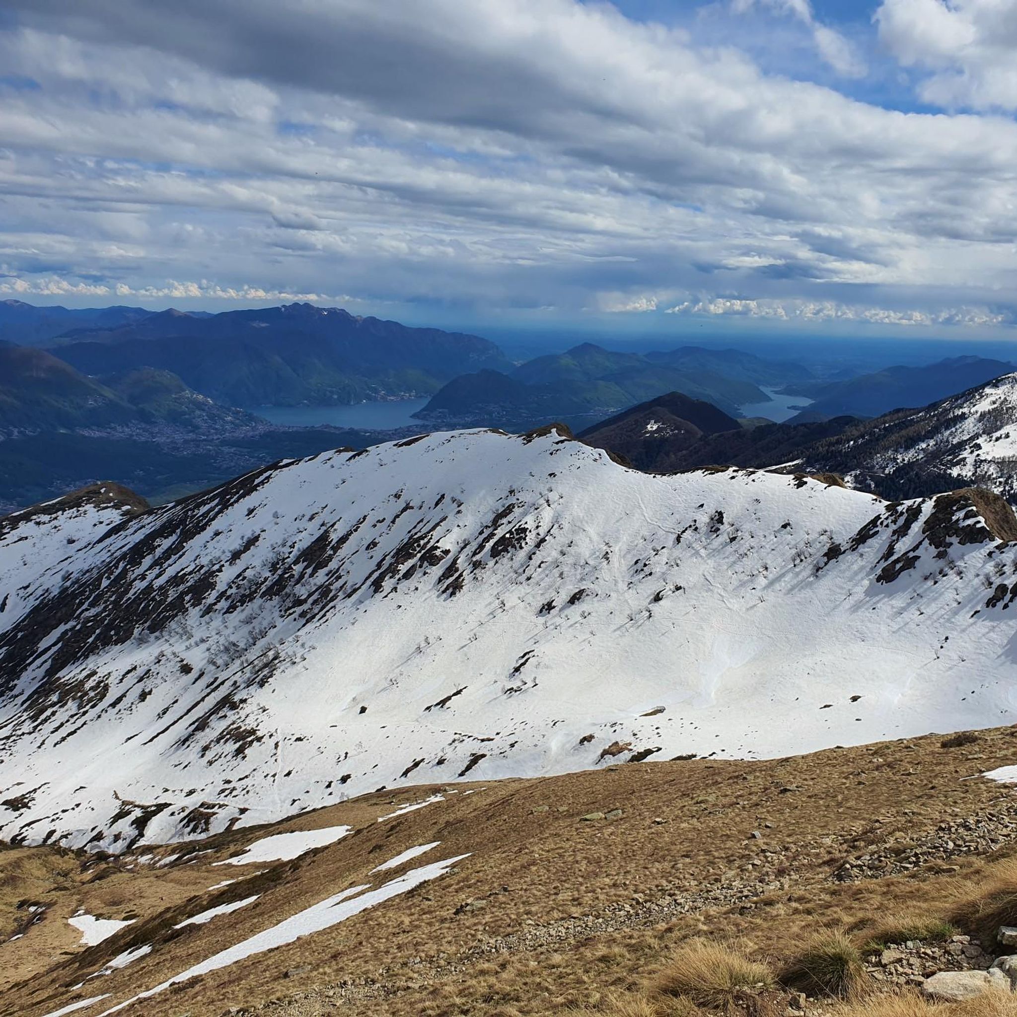
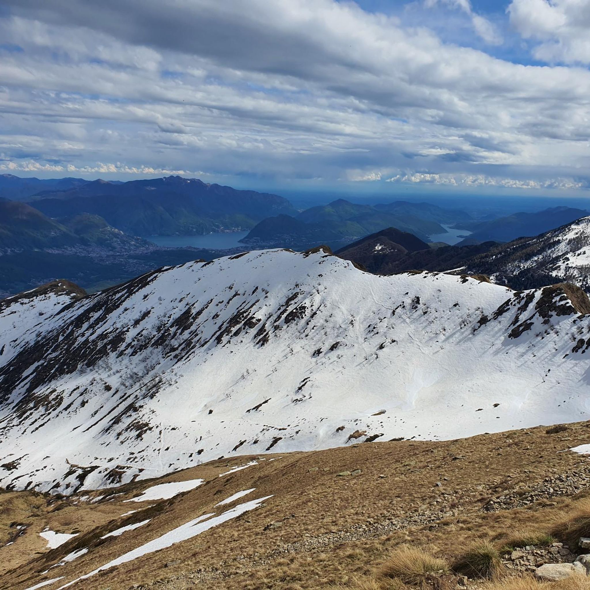
Mountaineering routes around Mezzovico-Vira traverse a landscape characterized by extensive forested areas and rocky terrain, indicative of its mountainous nature. This municipality, located north of Lugano along the Vedeggio River, offers access to significant peaks like Monte Tamaro, which reaches 1,960 meters. The region's topography includes varied elevations and proximity to Lake Lugano and Lake Maggiore, providing diverse natural environments for outdoor activities.
Best mountaineering routes around Mezzovico-Vira
- The most popular mountaineering route is Alpe di Neggia Pass (1,395 m)…
Last updated: October 1, 2026
5.0
(1)
7
hikers
6.29km
03:18
520m
520m
Moderate mountaineering route. Good fitness required. Mostly accessible paths. Sure-footedness required.
5.0
(3)
8
hikers
Moderate mountaineering route. Good fitness required. Mostly accessible paths. Sure-footedness required.

6
hikers
Moderate mountaineering route. Good fitness required. Mostly accessible paths. Sure-footedness required.
5
hikers
11.7km
05:20
900m
900m
Hard mountaineering route. Very good fitness required. Mostly accessible paths. Sure-footedness required.
5.0
(1)
4
hikers
8.78km
03:34
500m
500m
Moderate mountaineering route. Good fitness required. Mostly accessible paths. Sure-footedness required.
Our route recommendations are based on thousands of hikes, rides, and runs completed by other people on komoot.
Start today with a free account
Your next adventure awaits.
Tips from the Community

Very nice Ticino village. Accessible by Postauto.
0
0


The Capanna Tamaro is located at 1,870 meters altitude, below the Monte Tamaro. The mountain hut, managed by the Società Alpinistica Ticinese, offers simple sleeping places, regional cuisine, and a warm atmosphere. It is an ideal starting point for the ridge hike to Monte Lema or for the ascent of Monte Tamaro and delights with magnificent views of the Ticino mountain world.
4
0

Which direction would I like to take? Always so many possibilities to choose from here.
0
0
Always a beautiful destination for those starting from the valley or from Arosio.
0
0
Alpe Foppa is located at around 1500 meters above sea level and is a popular destination above Rivera. It is easily accessible by cable car to Monte Tamaro or on foot via various hiking trails. The Alp offers a magnificent view of the Ticino Alps and Lake Lugano. It is also known for the impressive chapel Santa Maria degli Angeli. In summer, hiking trails invite exploration, and in winter, snowshoe routes do the same. The combination of nature, tranquility, and architecture makes Alpe Foppa particularly attractive.
4
0
Nice and cozy restaurant on the summit
8
0
Frequently Asked Questions
How many mountaineering routes are available around Mezzovico-Vira?
There are 8 distinct mountaineering routes around Mezzovico-Vira listed in this guide, offering a variety of experiences for different skill levels.
What types of terrain can I expect on mountaineering routes in Mezzovico-Vira?
The routes in Mezzovico-Vira traverse a diverse landscape, characterized by extensive forested areas and rocky, mountainous terrain. You'll encounter varied elevations, with some paths leading to significant peaks like Monte Tamaro and Cima di Medeglia, offering panoramic views.
Are there any family-friendly mountaineering options in the Mezzovico-Vira region?
Yes, the region offers family-friendly hiking options, such as routes leading from Alpe Foppa towards Capanna Tamaro on Monte Tamaro. While this guide focuses on mountaineering, many trails can be adapted for families, especially those with some hiking experience.
What are some notable natural landmarks or attractions I might see along the routes?
You'll find several impressive natural landmarks. Highlights include the summits of Monte Tamaro and Monte Gambarogno, offering expansive views. The Cima di Medeglia Summit Cross also provides a 360-degree vista. Additionally, the region's proximity to Lake Lugano and Lake Maggiore means picturesque lakeside views are often within reach.
Are there any circular mountaineering routes available?
Yes, several routes are circular. For example, the Alpe di Neggia Pass (1,395 m) – Summit of Mount Gambarogno loop from Monte Gambarogno is a moderate 10.2 km circular trail. Another option is the Summit of Mount Gambarogno – Alpe di Neggia Pass (1,395 m) loop from Indemini, a more challenging 11.4 km circular path.
What is the best time of year for mountaineering in Mezzovico-Vira?
The warmer months, typically from late spring to early autumn, are ideal for mountaineering in Mezzovico-Vira. During this period, trails are generally clear of snow, and the weather is more stable, allowing for better visibility and safer conditions. Always check local weather forecasts before heading out.
Are there any challenging mountaineering routes for experienced hikers?
Absolutely. For experienced mountaineers, the Summit of Mount Gambarogno – Alpe di Neggia Pass (1,395 m) loop from Indemini is a difficult 11.4 km route offering expansive vistas. Another challenging option is the long ridge hike from Monte Tamaro to Monte Lema, which spans about 10 kilometers and runs along the Swiss-Italian border.
How do other mountaineers rate the routes in Mezzovico-Vira?
The mountaineering routes in Mezzovico-Vira are highly regarded by the komoot community, boasting an impressive average rating of 4.96 out of 5 stars from over 10 reviews. Users often praise the stunning panoramic views from peaks like Monte Tamaro and the well-maintained trails.
Can I access these mountaineering routes using public transport?
Mezzovico-Vira is located about 10 kilometers north of Lugano, and public transport options are available in the region. While specific trailhead access via public transport can vary, major hubs like Lugano offer connections that can get you closer to the starting points of many routes. It's advisable to check local bus and train schedules for the most direct access to your chosen trailhead.
Are there any moderate mountaineering routes suitable for intermediate hikers?
Yes, there are several moderate routes. The Alpe di Neggia Pass (1,395 m) – Summit of Monte Tamaro loop from Monte Gambarogno is a moderate 6.3 km trail that takes about 3 hours and 18 minutes. Another moderate option is the Summit of Monte Tamaro loop from Oratorio di Santa Maria degli Angeli, covering 9.2 km.
What are the typical elevation gains on these mountaineering routes?
The elevation gains vary significantly depending on the route's difficulty and length. For instance, a moderate route like the Alpe di Neggia Pass (1,395 m) – Summit of Mount Gambarogno loop from Monte Gambarogno involves an ascent of approximately 577 meters. More challenging routes, such as the Summit of Mount Gambarogno – Alpe di Neggia Pass (1,395 m) loop from Indemini, can have elevation gains closer to 800 meters.
Most popular routes around Mezzovico-Vira
Most popular attractions around Mezzovico-Vira

Get inspired with the komoot mobile app


Explore more
Browse the best Mountain Hikes & Routes in other regions.
