The best traffic-free bike rides around Beavercreek
4.4
(31)
739
riders
24
rides
No traffic road cycling routes around Beavercreek benefit from an extensive network of paved, multi-use trails that traverse diverse natural areas. The region features a generally flat to gently rolling terrain, making it accessible for various cycling abilities. Key features include the Creekside Trail, which connects to the larger Miami Valley Trail system, offering hundreds of miles of car-free paths. These routes often pass through wetland ecosystems, wooded areas, and alongside waterways like the Little Miami River.
Best no traffic…
Last updated: August 5, 2026
5.0
(1)
48
riders
60.8km
02:59
200m
200m
Moderate road ride. Good fitness required. Mostly well-paved surfaces and easy to ride.
20
riders
21.2km
01:00
60m
60m
Easy road ride. Great for any fitness level. Mostly well-paved surfaces and easy to ride.

Sign up for free
14
riders
Easy road ride. Great for any fitness level. Mostly well-paved surfaces and easy to ride.
5
riders
14.4km
00:39
30m
30m
Easy road ride. Great for any fitness level. Mostly well-paved surfaces and easy to ride.
Get access to more routes and recommendations from other explorers.
Sign up for free
Already have an account?
Our route recommendations are based on thousands of hikes, rides, and runs completed by other people on komoot.
Start today with a free account
Your next adventure awaits.
Login or Signup
Popular around Beavercreek
Tips from the Community

The Creekside Trail is a great 16-mile long trail that connects Dayton and Xenia. The trail is fully paved and is popular with walkers and cyclists. This section runs through several parks and green spaces, so it is a wonderful segment to ride.
0
0

Southern Ohio Brewery is right off the Beavercreek Trail Connector and is a great spot to grab some refreshments and food as a break along your ride.
0
0

This 700-acre preserve was created from a gift of land to Antioch College by Hugh Taylor Birch to honor his daughter, Helen Birch Bartlett. Much of it is along the two creeks that flow by, and the trails access a number of picturesque waterfalls.
0
0

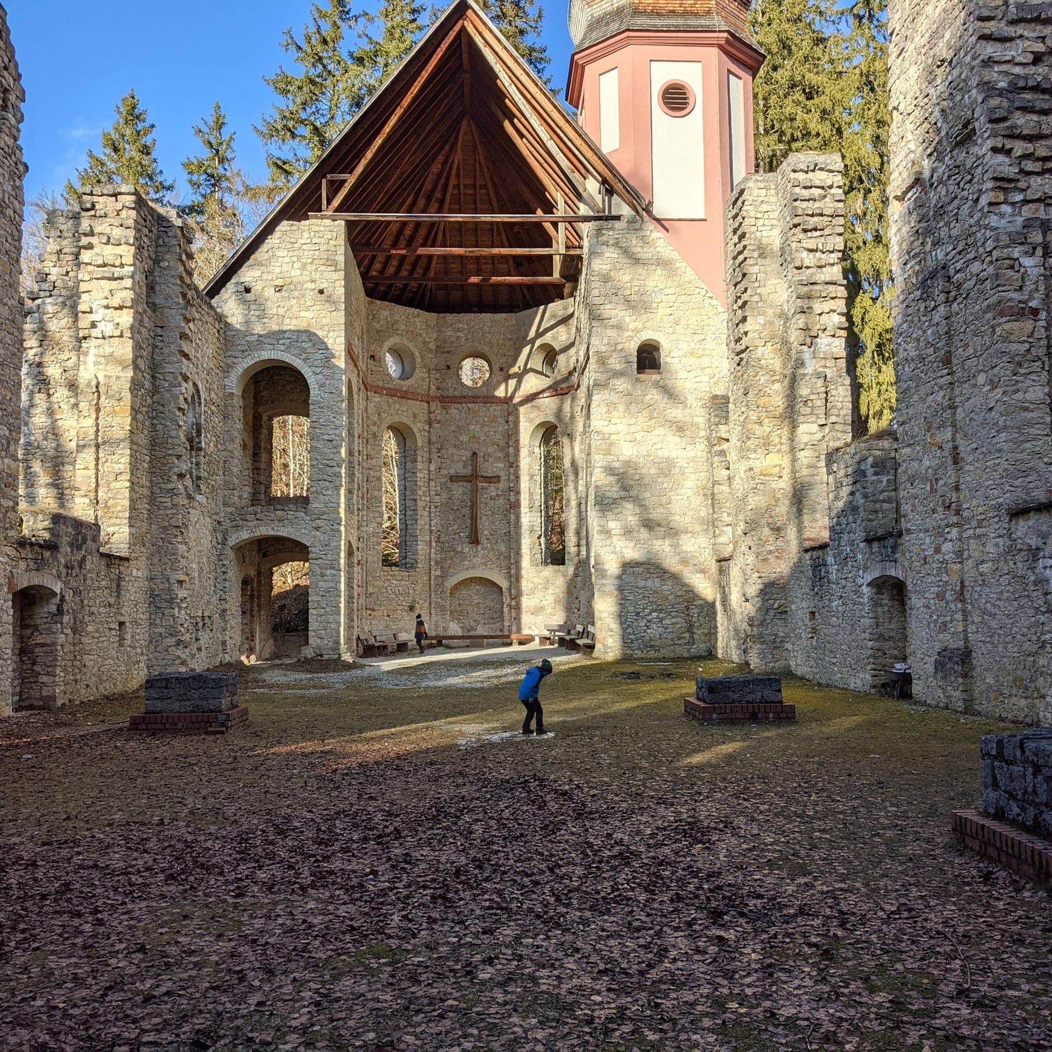
The Xenia Station is a replica of an old brick train station that used to be in the area. It now holds a museum and meeting space, and serves as a trail head for several trails that intersect at this point.
1
0
The Creekside Trail is a great 16-mile long trail that connects Dayton and Xenia. The trail is fully paved and is popular with walkers and cyclists. This section runs through several parks and green spaces, so it is a wonderful segment to walk.
0
0
This 700-acre preserve was created from a gift of land to Antioch College by Hugh Taylor Birch to honor is daughter Helen Birch Bartlett. Much of it is along the two creeks that flow by and the trails access a number of picturesque waterfalls.
1
0

Xenia Station, located at 150 Miami Avenue in Xenia, Ohio, in the United States, is a replica of Xenia's 1880s brick railroad station. Built in 1998 by the city of Xenia, Xenia Station houses a local history museum, a classroom/meeting space and an observation tower called the Hub Lookout.
2
0
Frequently Asked Questions
How many no-traffic road cycling routes are available in Beavercreek?
There are over 20 dedicated no-traffic road cycling routes around Beavercreek, offering a variety of distances and experiences. Most routes are rated as easy or moderate, making them accessible for many riders.
What are the best options for easy, traffic-free road cycling in Beavercreek?
Beavercreek offers several easy, traffic-free routes perfect for a relaxed ride. The Creekside Trail loop from Southern Ohio Brewing is a great option, covering about 14.4 km on paved surfaces. Another easy choice is the Southern Ohio Brewery – Creekside Trail loop from Hawker Church Cemetery, which is around 19.5 km.
Are there any longer, traffic-free road cycling routes for more experienced riders?
Yes, for those looking for a longer ride, consider the Creekside Trail BMX Jumps loop from Beavercreek. This route spans approximately 35.8 km and offers a moderate challenge with some elevation gain, all while keeping you away from vehicle traffic.
What kind of terrain can I expect on Beavercreek's traffic-free bike trails?
The traffic-free bike trails in Beavercreek, such as the popular Creekside Trail, are predominantly paved and multi-use. They generally feature gentle gradients, making them suitable for road bikes. You'll find yourself cycling through varied landscapes, including wooded areas, open meadows, and alongside waterways.
What natural features or landmarks can I see along the no-traffic routes?
While cycling traffic-free routes in Beavercreek, you'll encounter several points of interest. The Creekside Trail itself is a highlight, and you can connect to the larger Little Miami Scenic Trail. You might also pass by areas like Fifth Third Gateway Park, which offers amenities and a gazebo. The region is rich in wetland ecosystems, offering opportunities for birdwatching and enjoying diverse natural habitats.
Are there family-friendly, traffic-free road cycling options in Beavercreek?
Absolutely. The paved, multi-use trails like the Creekside Trail are ideal for families. Their flat, car-free nature ensures a safe and enjoyable experience for cyclists of all ages. Many routes are rated as easy, making them perfect for a leisurely family outing.
Where can I park when accessing traffic-free bike trails in Beavercreek?
Parking is available at various access points for the extensive trail network. A convenient option is the Fifth Third Gateway Park and Ride Facility, which provides direct access to the Creekside Trail. Other local parks also offer parking for trail users.
What do other road cyclists enjoy most about traffic-free cycling in Beavercreek?
The komoot community highly rates the cycling experience in Beavercreek, with an average score of 4.3 stars. Reviewers often praise the extensive network of paved, traffic-free trails, the scenic natural surroundings, and the accessibility for all skill levels, making it a peaceful and enjoyable place to ride.
Are there any circular no-traffic road cycling routes in Beavercreek?
Yes, many of the traffic-free routes in Beavercreek are designed as loops, allowing you to start and end at the same point without retracing your path. Examples include the Creekside Trail BMX Jumps loop from Beavercreek and the Creekside Trail – Creekside Trail loop from Southern Ohio Brewing, providing convenient round trips.
Can I access these traffic-free trails using public transport?
While Beavercreek has a robust trail system, direct public transport access to all trailheads might be limited. It's best to check local public transportation schedules and routes for specific stops near major trail access points like Beavercreek Station or Fifth Third Gateway Park.
What is the best time of year to enjoy traffic-free road cycling in Beavercreek?
Beavercreek's traffic-free trails are enjoyable throughout much of the year. Spring and fall offer pleasant temperatures and beautiful scenery with blooming flowers or vibrant foliage. Summer is also popular, though it can be warmer, while winter cycling is possible on clear days, but always check trail conditions for ice or snow.
Most popular attractions around Beavercreek

Get inspired with the komoot mobile app


Explore more
Browse the best Road cycling routes in other regions.
